Elevation of Shopville Rd, Kentucky, USA
Location: United States > Kentucky > Pulaski County > Somerset >
Longitude: -84.472198
Latitude: 37.1574818
Elevation: 290m / 951feet
Barometric Pressure: 98KPa
Elevation Map:
Satellite Map:
Related Photos:
Rule of Thirds

Pitman Creek
wcr2-090
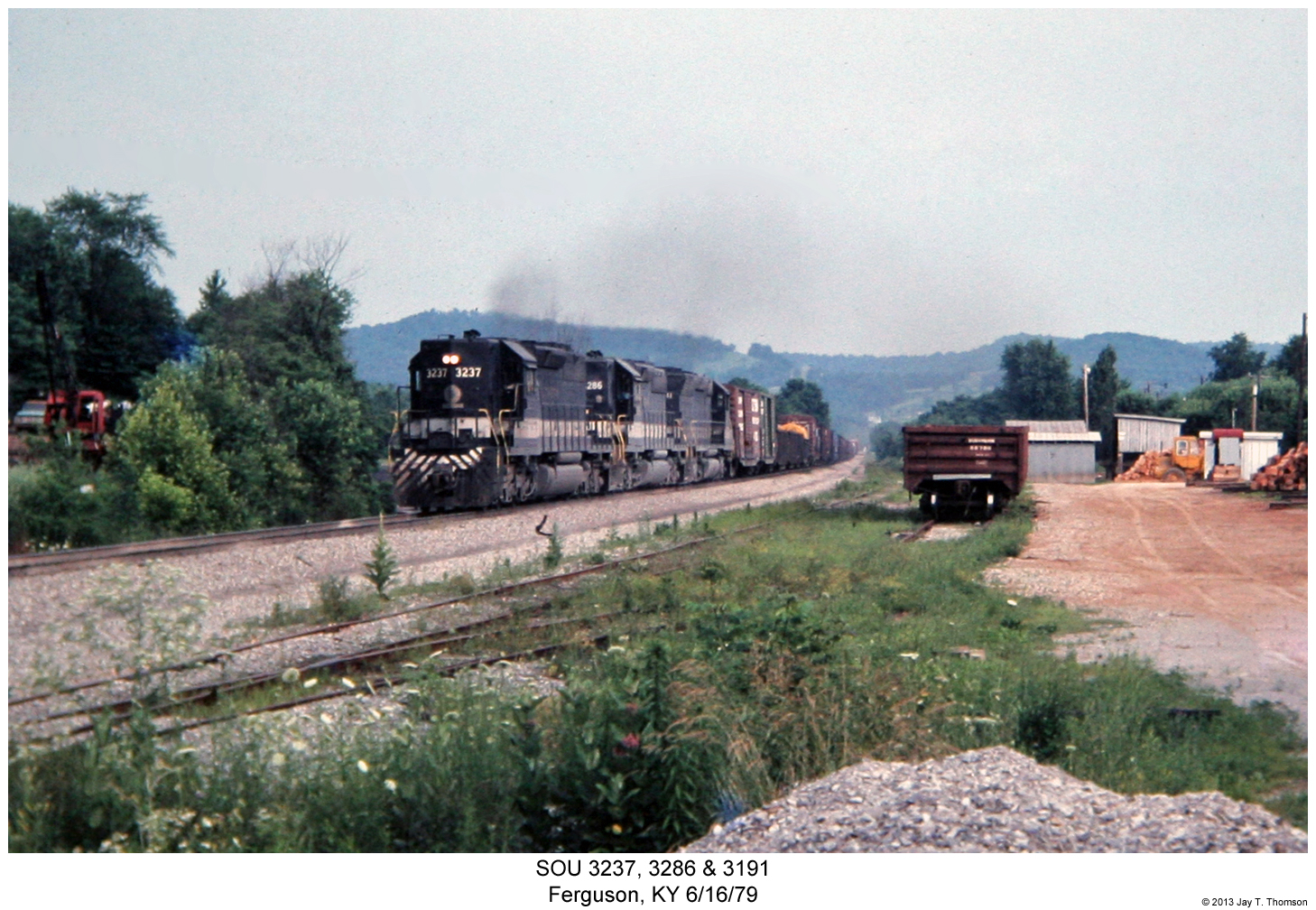
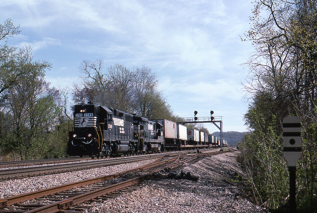
SOU 3237, 3286 & 3191
wcr2-056
sslc-054

wcr2-tr10-008
wcr2-tr10-008
Living On the Edge Of the Forest
wcr2-057
sslc-076

wcr2-056
wcr2-tr10-006
IMG_2333.JPG
wcr2-057
wcr2-tr10-019
wcr2-tr10-026
wcr2-103

wcr2-tr10-026
sg-tr42-015
wcr2-120
wcr2-022
Topographic Map of Shopville Rd, Kentucky, USA
Find elevation by address:

Places near Shopville Rd, Kentucky, USA:
1350 Coal Pit Rd
1280 Old Mt Vernon Rd
Price Valley Rd, Somerset, KY, USA
8700 Ky-39
326 Misty Dr
134 Cherry Grove Rd
Langford-whetstone Road
State Hwy, Somerset, KY, USA
271 Barrington Dr
103 Combs Ln
103 Combs Ln
122 Cricket Ln
511 University Drive
55 Alice Ln
Huffaker Avenue
University Drive
E Mt Vernon St, Somerset, KY, USA
Somerset
59 E Todd Rd
359 Raleigh Rd
Recent Searches:
- Elevation of Redondo Ave, Long Beach, CA, USA
- Elevation of Sadovaya Ulitsa, 20, Rezh, Sverdlovskaya oblast', Russia
- Elevation of Ulitsa Kalinina, 79, Rezh, Sverdlovskaya oblast', Russia
- Elevation of 72-31 Metropolitan Ave, Middle Village, NY, USA
- Elevation of 76 Metropolitan Ave, Brooklyn, NY, USA
- Elevation of Alisal Rd, Solvang, CA, USA
- Elevation of Vista Blvd, Sparks, NV, USA
- Elevation of 15th Ave SE, St. Petersburg, FL, USA
- Elevation of Beall Road, Beall Rd, Florida, USA
- Elevation of Leguwa, Nepal