Elevation of Coal Pit Rd, Somerset, KY, USA
Location: United States > Kentucky > Pulaski County > Somerset >
Longitude: -84.428242
Latitude: 37.1721031
Elevation: 325m / 1066feet
Barometric Pressure: 97KPa
Elevation Map:
Satellite Map:
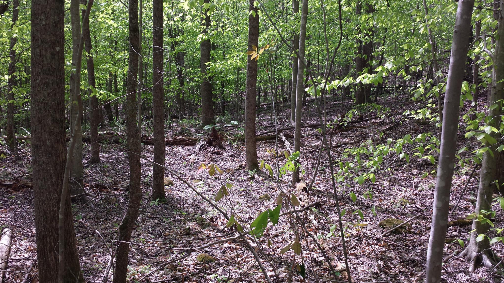
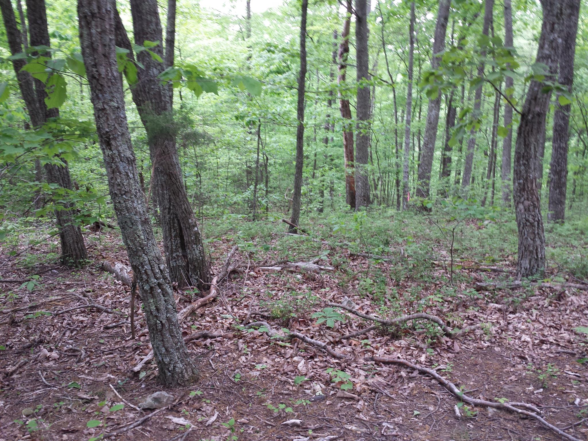
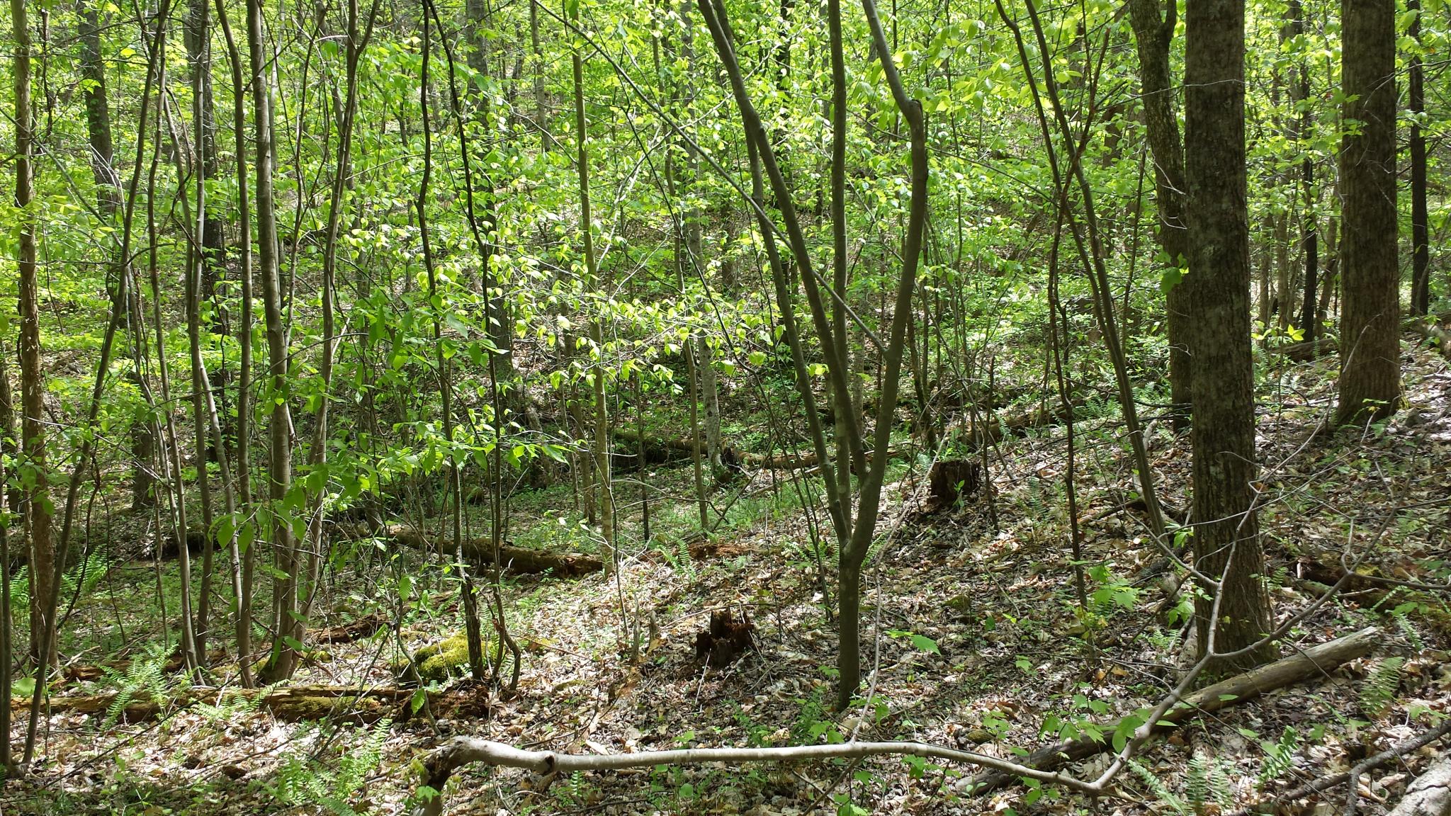
Related Photos:

Leaf on Stones
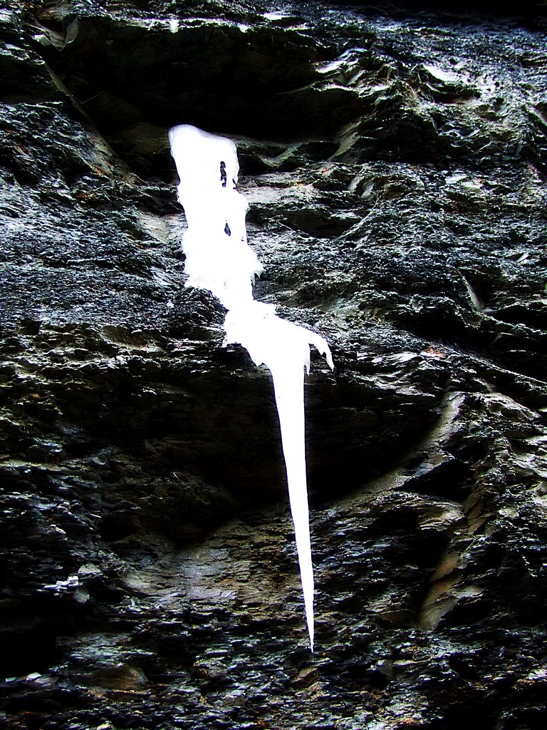
Flowing Ice..on the Side of the Highway
wcr2-056
wcr2-tr10-008
wcr2-057

wcr2-056
wcr2-tr10-006
sg-tr42-015
wcr2-tr10-026
sg-tr42-005
wcr2-022
wcr2-022
sslc-076
wcr2-111
wcr2-tr10-019
wcr2-020
sg-tr42-030
wcr2-018
wcr2-063
wcr2-063
IMG_2333.JPG
wcr2-016

wcr2-016
Topographic Map of Coal Pit Rd, Somerset, KY, USA
Find elevation by address:

Places near Coal Pit Rd, Somerset, KY, USA:
Price Valley Rd, Somerset, KY, USA
1224 Shopville Rd
1280 Old Mt Vernon Rd
Langford-whetstone Road
State Hwy, Somerset, KY, USA
8700 Ky-39
326 Misty Dr
134 Cherry Grove Rd
271 Barrington Dr
103 Combs Ln
103 Combs Ln
122 Cricket Ln
55 Alice Ln
511 University Drive
Huffaker Avenue
University Drive
59 E Todd Rd
E Mt Vernon St, Somerset, KY, USA
Somerset
359 Raleigh Rd
Recent Searches:
- Elevation of th Pl SE, Issaquah, WA, USA
- Elevation of 82- D Rd, Captain Cook, HI, USA
- Elevation of Harlow CM20 2PR, UK
- Elevation of Shenyang Agricultural University, Dong Ling Lu, Shen He Qu, Shen Yang Shi, Liao Ning Sheng, China
- Elevation of Alpha Dr, Melbourne, FL, USA
- Elevation of Hiroshima University, 1-chōme-3-2 Kagamiyama, Higashihiroshima, Hiroshima -, Japan
- Elevation of Bernina Dr, Lake Arrowhead, CA, USA
- Elevation of N 82nd Pl, Mesa, AZ, USA
- Elevation of Snake Hill Rd, North Scituate, RI, USA
- Elevation of Lake Shore Dr, Warwick, RI, USA