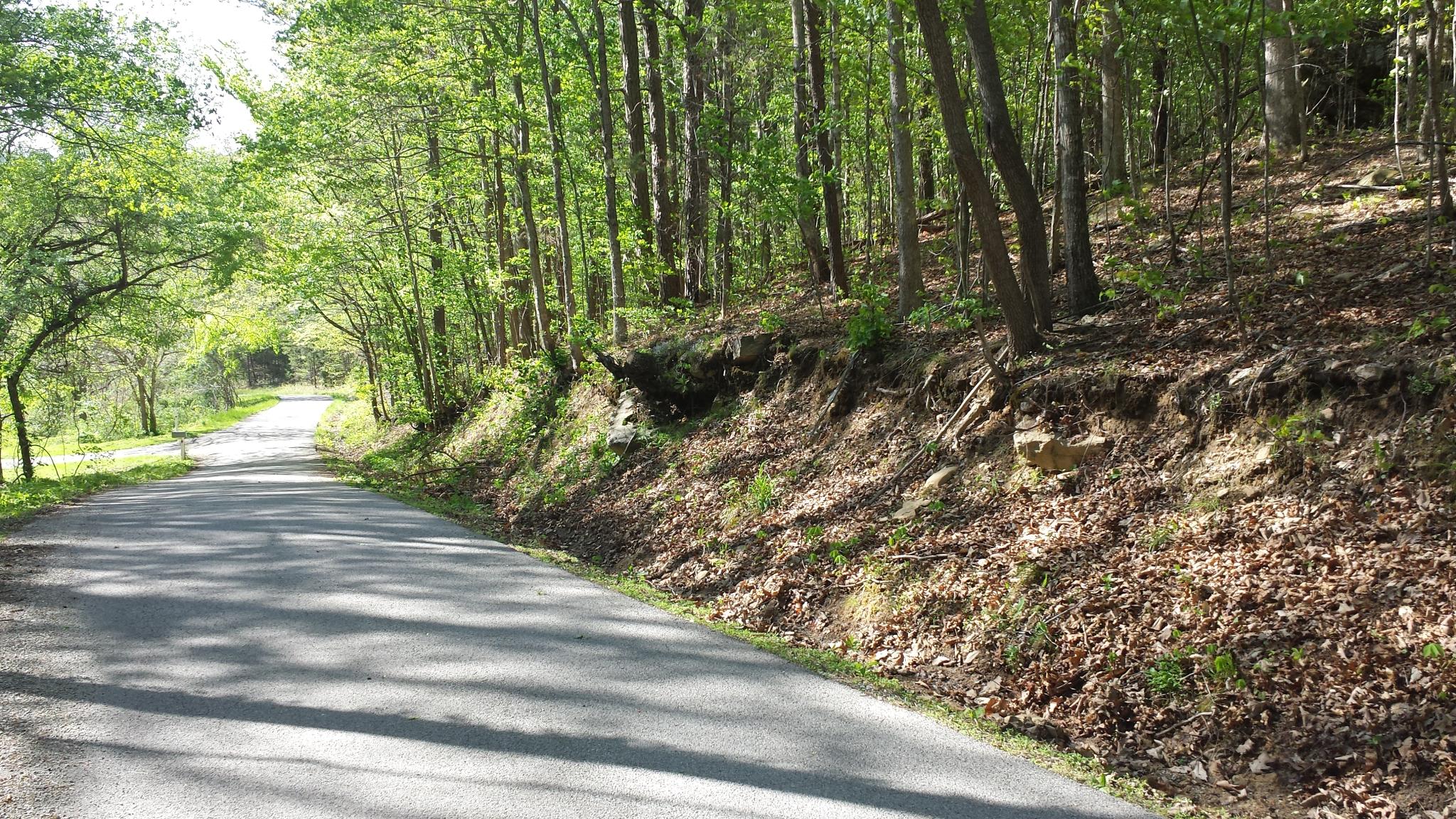
Elevation of Langford-Whetstone Road, Langford-Whetstone Rd, Kentucky, USA
Location: United States > Kentucky >
Longitude: -84.380253
Latitude: 37.1101467
Elevation: 346m / 1135feet
Barometric Pressure: 97KPa
Elevation Map:
Satellite Map:
Related Photos:

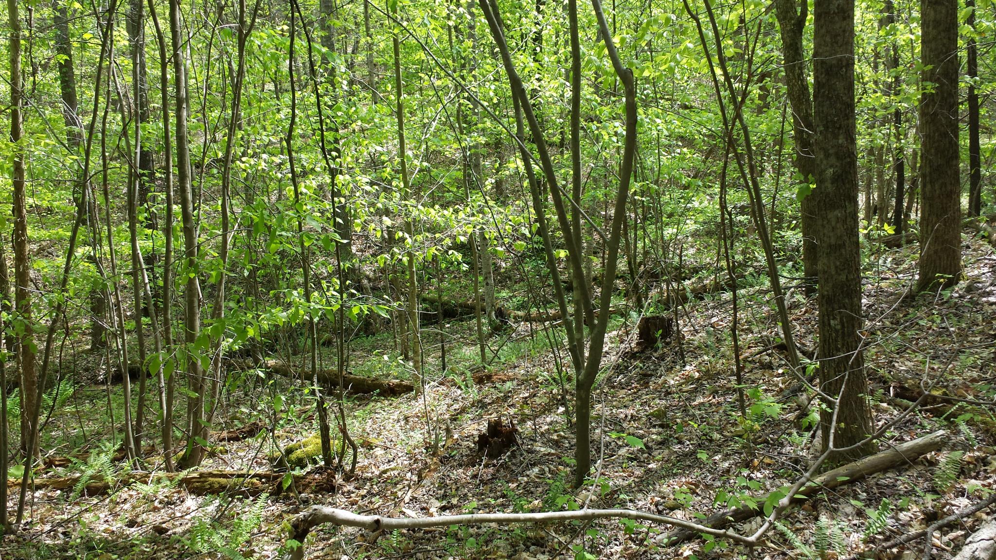
Leaf on Stones
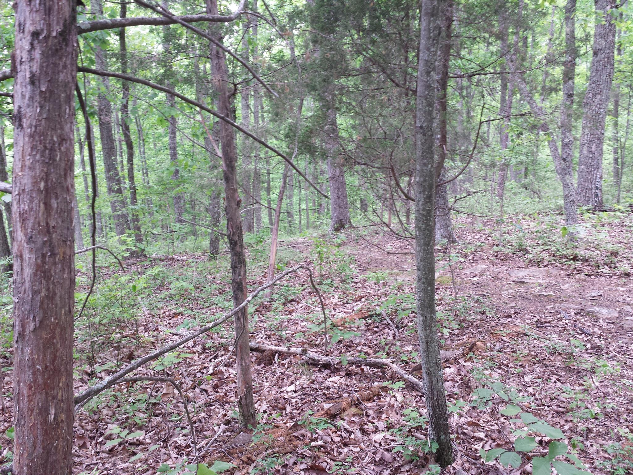
IMG_8851.JPG
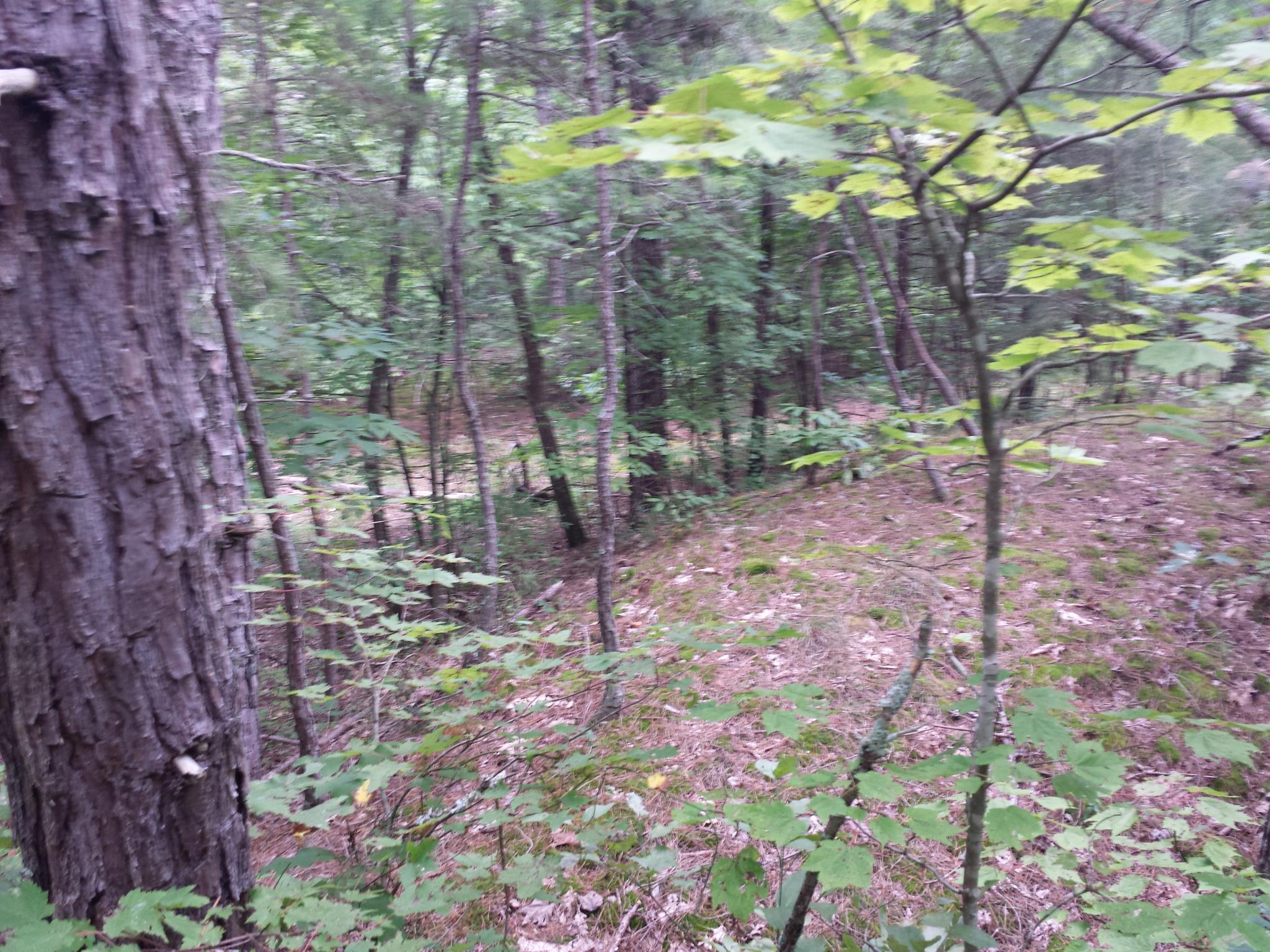
IMG_8861.JPG
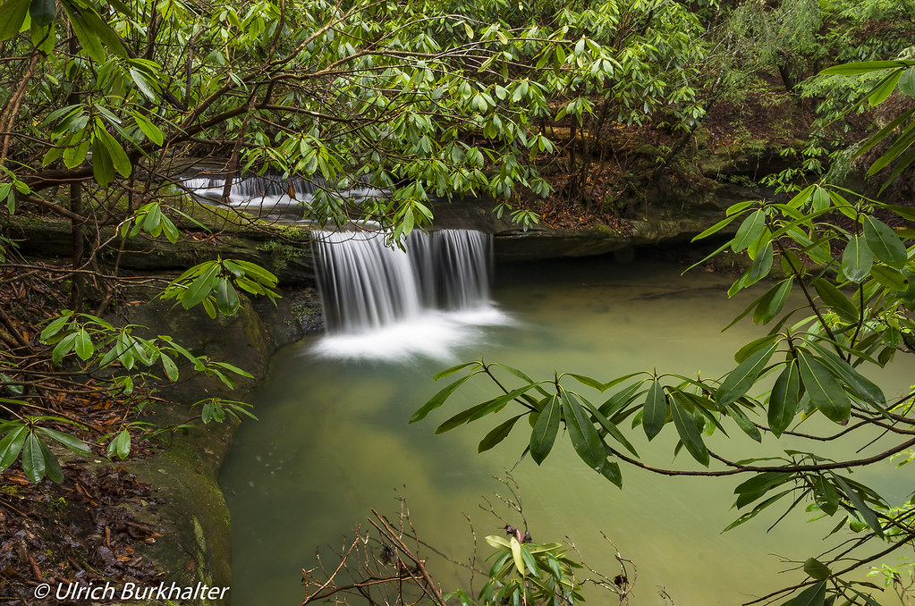
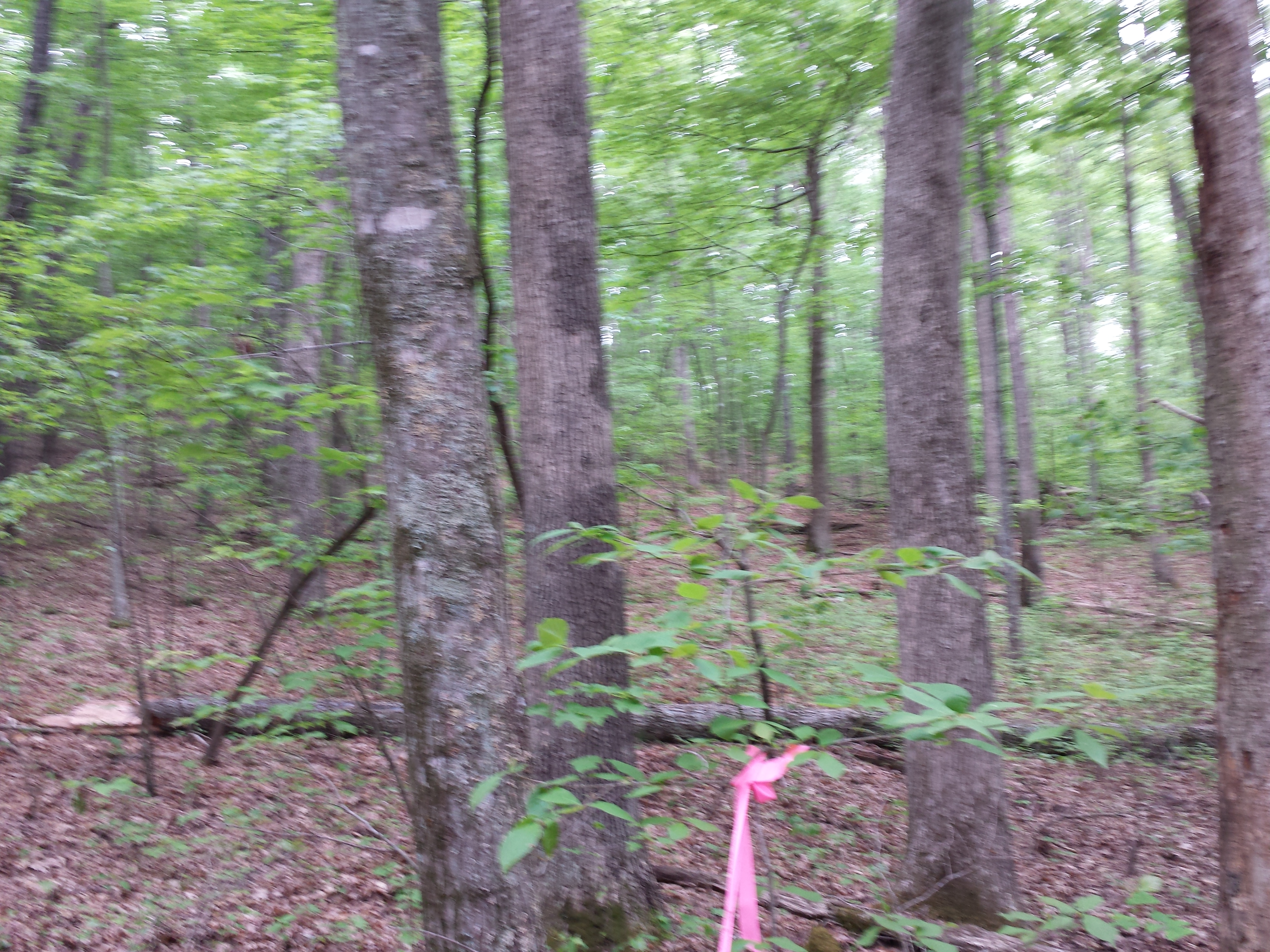
Second waterfall on Pounder Branch

Van Hook Falls in its environment.
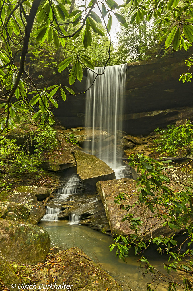
Van Hook Falls.
IMG_8862.JPG
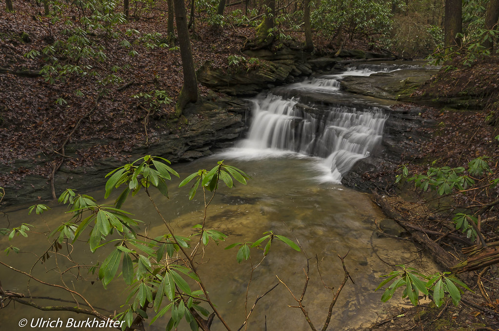
Third waterfall on Pounder Branch
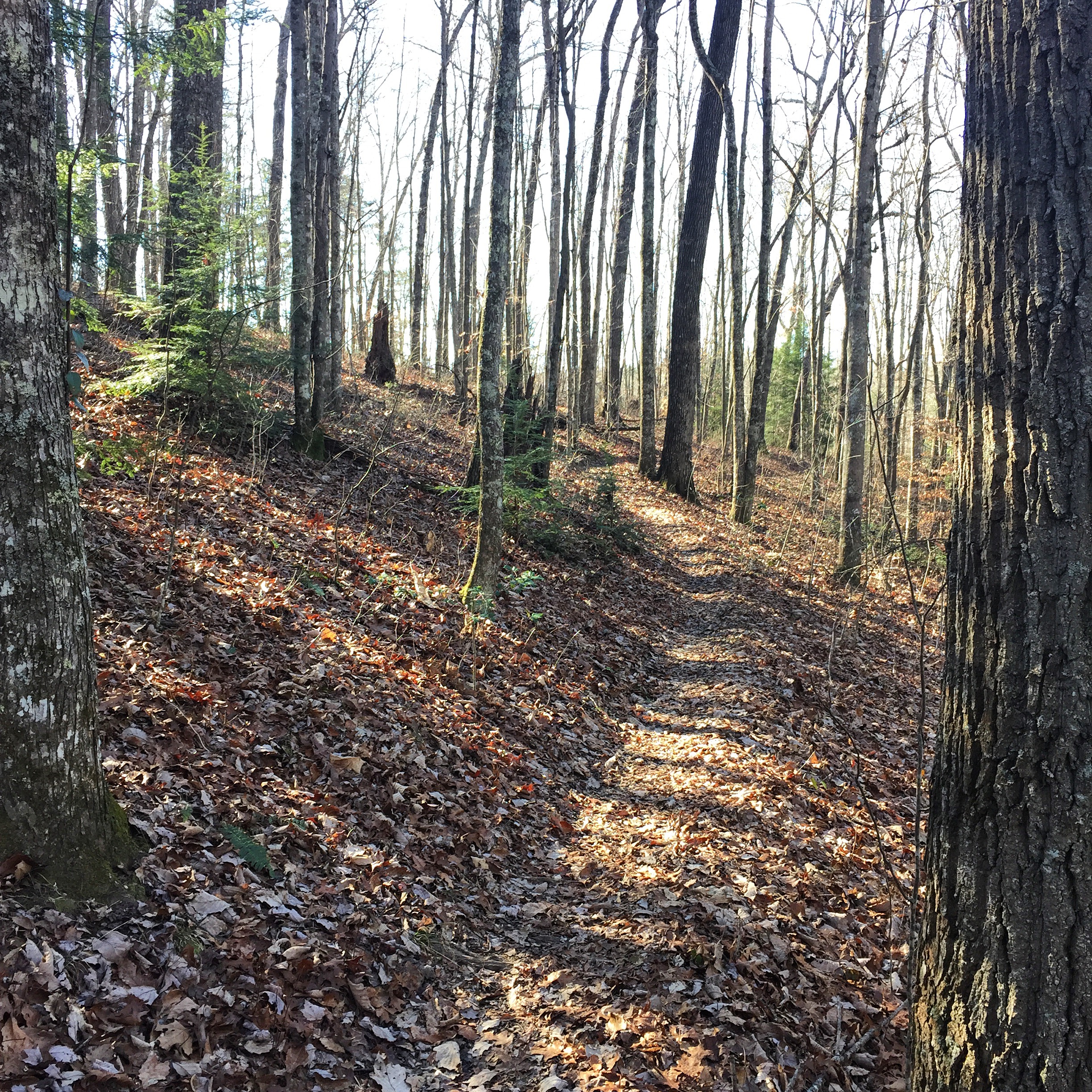
wcr2-056
wcr2-tr10-008
wcr2-057

wcr2-056
wcr2-tr10-006
sg-tr42-015
wcr2-tr10-026
sg-tr42-005
wcr2-022
wcr2-022
sslc-076
wcr2-111
wcr2-tr10-019
sg-tr42-030
Topographic Map of Langford-Whetstone Road, Langford-Whetstone Rd, Kentucky, USA
Find elevation by address:

Places near Langford-Whetstone Road, Langford-Whetstone Rd, Kentucky, USA:
Price Valley Rd, Somerset, KY, USA
1350 Coal Pit Rd
1224 Shopville Rd
1280 Old Mt Vernon Rd
State Hwy, Somerset, KY, USA
134 Cherry Grove Rd
8700 Ky-39
271 Barrington Dr
326 Misty Dr
103 Combs Ln
103 Combs Ln
511 University Drive
E Mt Vernon St, Somerset, KY, USA
Somerset
Huffaker Avenue
University Drive
122 Cricket Ln
55 Alice Ln
59 E Todd Rd
359 Raleigh Rd
Recent Searches:
- Elevation of 3 Nestling Wood Dr, Long Valley, NJ, USA
- Elevation of Ilungu, Tanzania
- Elevation of Yellow Springs Road, Yellow Springs Rd, Chester Springs, PA, USA
- Elevation of Rēzekne Municipality, Latvia
- Elevation of Plikpūrmaļi, Vērēmi Parish, Rēzekne Municipality, LV-, Latvia
- Elevation of 2 Henschke Ct, Caboolture QLD, Australia
- Elevation of Redondo Ave, Long Beach, CA, USA
- Elevation of Sadovaya Ulitsa, 20, Rezh, Sverdlovskaya oblast', Russia
- Elevation of Ulitsa Kalinina, 79, Rezh, Sverdlovskaya oblast', Russia
- Elevation of 72-31 Metropolitan Ave, Middle Village, NY, USA