Elevation of Sherwood Circle, Sherwood Cir, LaBelle, FL, USA
Location: United States > Florida > Hendry County > Port Labelle >
Longitude: -81.366305
Latitude: 26.7667493
Elevation: 6m / 20feet
Barometric Pressure: 101KPa
Elevation Map:
Satellite Map:
Related Photos:

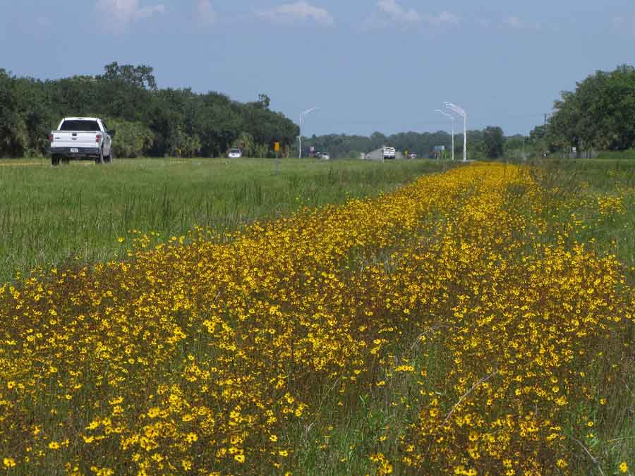
Clouds and wildflowers
Another beautiful day
Morning in the greenbelt

Not my best side Dude!
Panther Ecoscape
Okaloacoochee Slough State Forest
Coreopsis leavenworthii

Panther Ecoscape
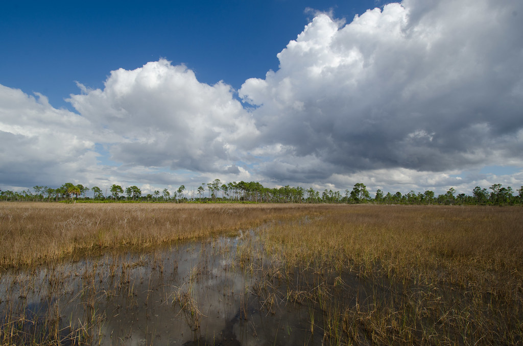
Ok Slough
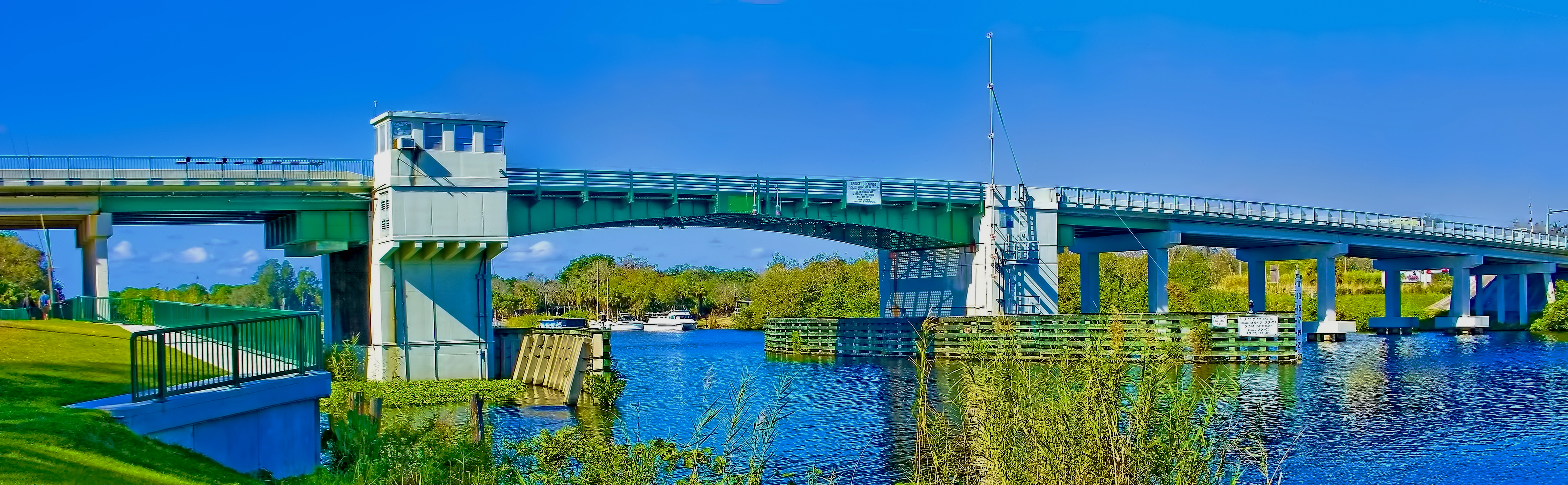
La Belle Bascule Bridge, city of La Belle, Florida, USA / Caloosahatchee River
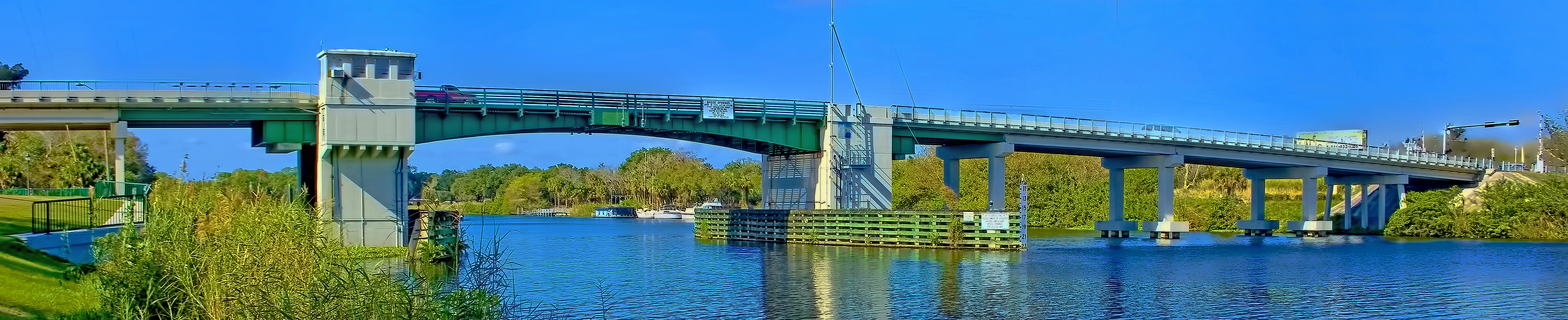
La Belle Bascule Bridge, City of La Belle, Florida, USA / Caloosahatchee River

Moody Sky

messenger-quick-cam-1471713552279
FullSizeRender 238
FullSizeRender 240
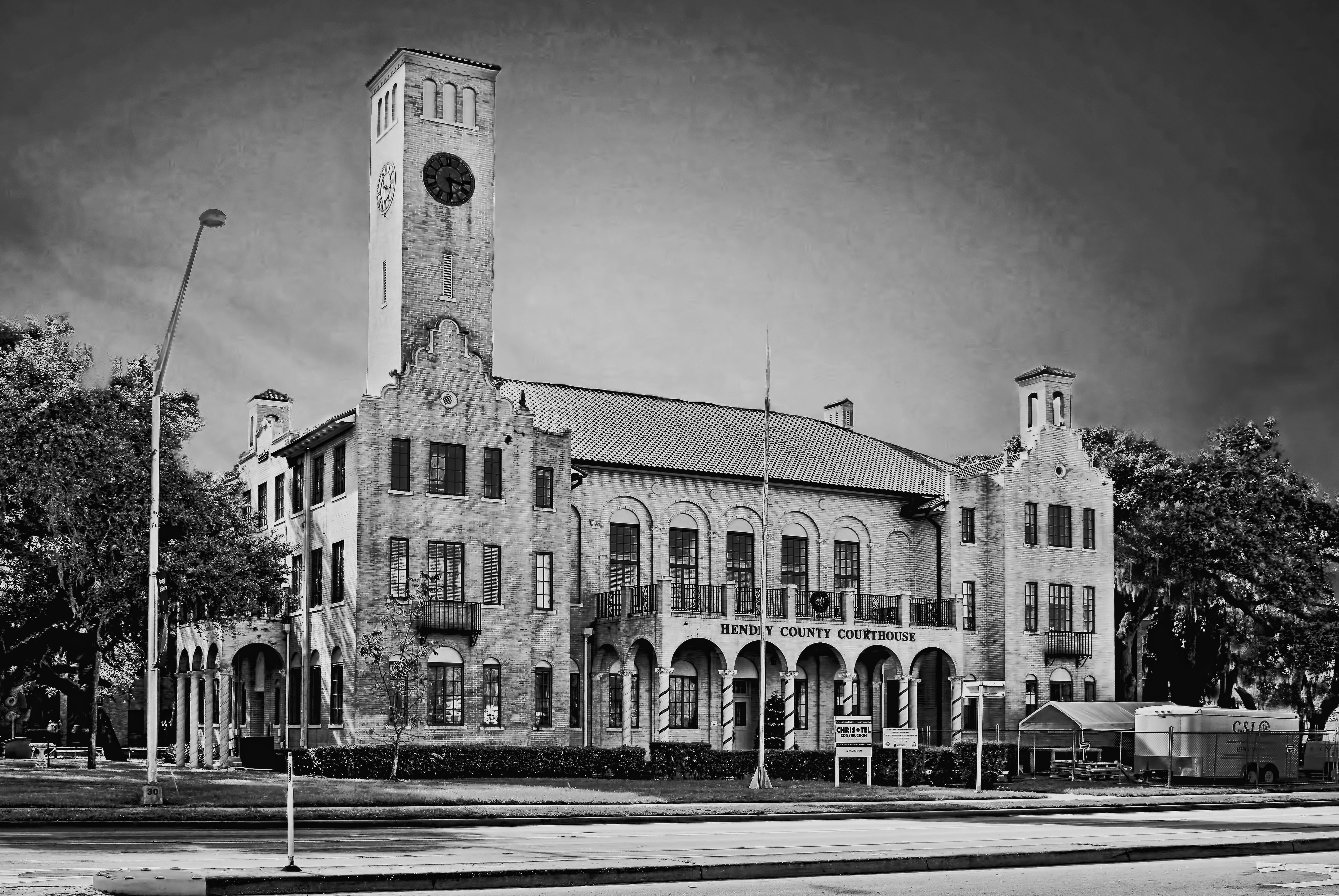
Old Hendry County Courthouse, 25 E Hickpoochee Avenue, LaBelle, Florida, USA / Architect: Edward Columbus Hosford / Contructed in 1926 / Architectural Style: Mediterranean Revival, Mission Revival
Topographic Map of Sherwood Circle, Sherwood Cir, LaBelle, FL, USA
Find elevation by address:

Places near Sherwood Circle, Sherwood Cir, LaBelle, FL, USA:
4058 E Sunflower Cir
2002 Fl-80
Port Labelle
Beaumont Ln, LaBelle, FL, USA
3014 Jamestown Rd
FL-80, Moore Haven, FL, USA
FL-78, Moore Haven, FL, USA
Labelle
Williams Rd, Moore Haven, FL, USA
1035 Fl-29
4th Avenue
608 Elizabeth St
900 Aqua Isles Blvd
327 Charles Duke Pl
1951 W Hickpochee Ave
391 Caloosa Estates Dr
2512 Caloosa Shores Dr
Fort Denaud
Fort Denaud, FL, USA
2074 Fort Denaud Rd
Recent Searches:
- Elevation of Pu Ngaol Community Meeting Hall, HWHM+3X7, Krong Saen Monourom, Cambodia
- Elevation of Royal Ontario Museum, Queens Park, Toronto, ON M5S 2C6, Canada
- Elevation of Groblershoop, South Africa
- Elevation of Power Generation Enterprises | Industrial Diesel Generators, Oak Ave, Canyon Country, CA, USA
- Elevation of Chesaw Rd, Oroville, WA, USA
- Elevation of N, Mt Pleasant, UT, USA
- Elevation of 6 Rue Jules Ferry, Beausoleil, France
- Elevation of Sattva Horizon, 4JC6+G9P, Vinayak Nagar, Kattigenahalli, Bengaluru, Karnataka, India
- Elevation of Great Brook Sports, Gold Star Hwy, Groton, CT, USA
- Elevation of 10 Mountain Laurels Dr, Nashua, NH, USA