Elevation of FL-80, Moore Haven, FL, USA
Location: United States > Florida > Hendry County >
Longitude: -81.309422
Latitude: 26.7687959
Elevation: 4m / 13feet
Barometric Pressure: 101KPa
Elevation Map:
Satellite Map:
Related Photos:

Not my best side Dude!

Another beautiful day

Morning in the greenbelt
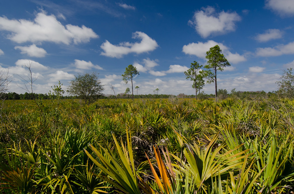
Panther Ecoscape
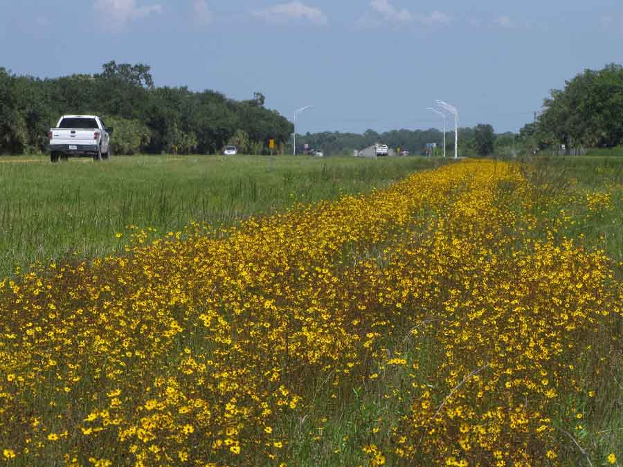
Coreopsis leavenworthii

Clouds and wildflowers

Panther Ecoscape

Moody Sky

messenger-quick-cam-1471713552279

James Whetzel

The Polecats - La Belle, Florida
Topographic Map of FL-80, Moore Haven, FL, USA
Find elevation by address:

Places near FL-80, Moore Haven, FL, USA:
Williams Rd, Moore Haven, FL, USA
327 Charles Duke Pl
FL-78, Moore Haven, FL, USA
Sherwood Circle
1195 Horseshoe Loop
4058 E Sunflower Cir
Port Labelle
Beaumont Ln, LaBelle, FL, USA
2002 Fl-80
3014 Jamestown Rd
Labelle
1035 Fl-29
608 Elizabeth St
4th Avenue
900 Aqua Isles Blvd
1951 W Hickpochee Ave
391 Caloosa Estates Dr
2512 Caloosa Shores Dr
Fort Denaud
2074 Fort Denaud Rd
Recent Searches:
- Elevation of Jalan Senandin, Lutong, Miri, Sarawak, Malaysia
- Elevation of Bilohirs'k
- Elevation of 30 Oak Lawn Dr, Barkhamsted, CT, USA
- Elevation of Luther Road, Luther Rd, Auburn, CA, USA
- Elevation of Unnamed Road, Respublika Severnaya Osetiya — Alaniya, Russia
- Elevation of Verkhny Fiagdon, North Ossetia–Alania Republic, Russia
- Elevation of F. Viola Hiway, San Rafael, Bulacan, Philippines
- Elevation of Herbage Dr, Gulfport, MS, USA
- Elevation of Lilac Cir, Haldimand, ON N3W 2G9, Canada
- Elevation of Harrod Branch Road, Harrod Branch Rd, Kentucky, USA