Elevation of FL-29, LaBelle, FL, USA
Location: United States > Florida > Labelle >
Longitude: -81.437915
Latitude: 26.7464828
Elevation: 6m / 20feet
Barometric Pressure: 101KPa
Elevation Map:
Satellite Map:
Related Photos:

Ok Slough

Panther Ecoscape
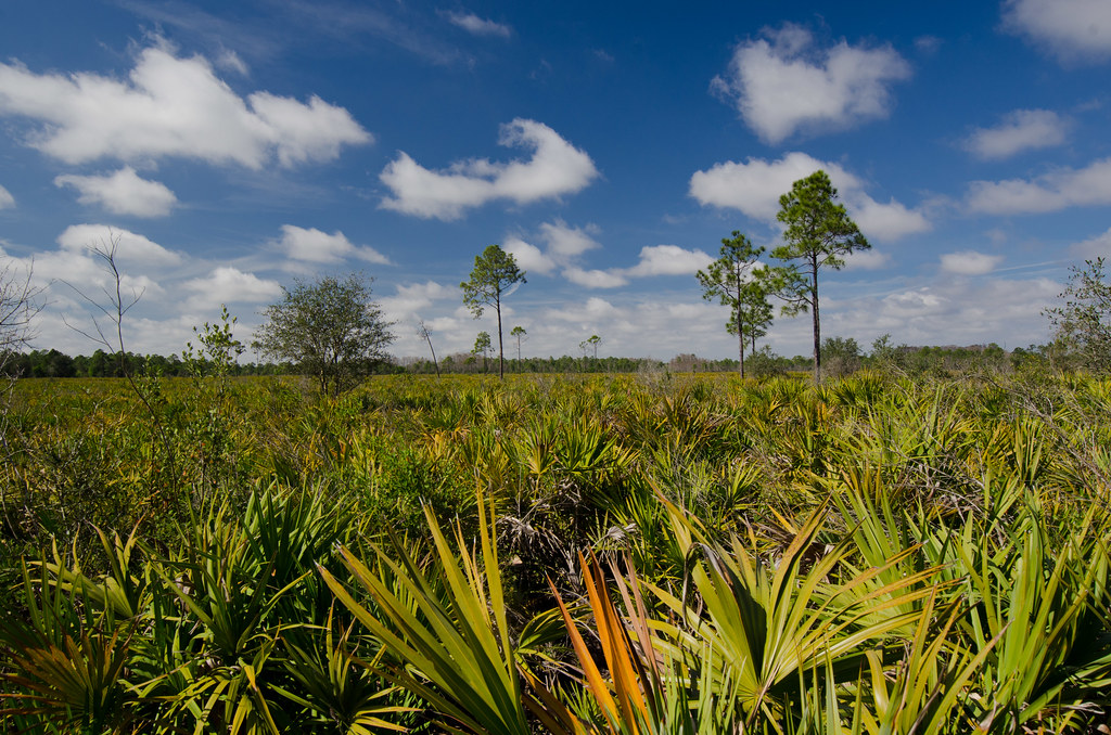
Panther Ecoscape

Florida,Alva, Riverfront Home
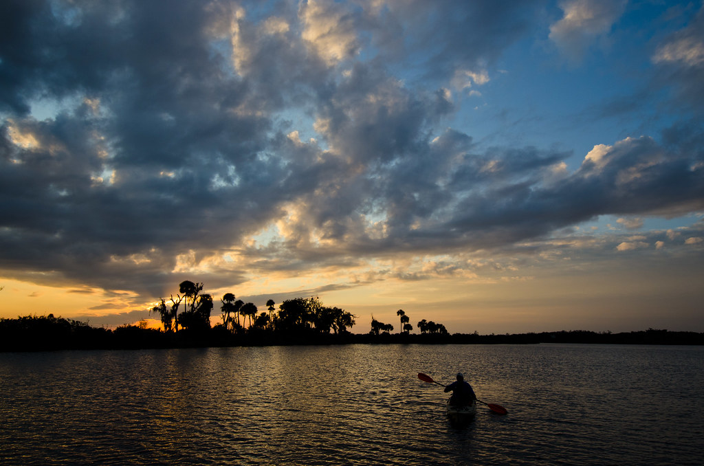
Caloosahatchee River

Coreopsis leavenworthii

Okaloacoochee Slough State Forest

Bedman's creek in my backyard

Morning in the greenbelt

Another beautiful day
Topographic Map of FL-29, LaBelle, FL, USA
Find elevation by address:

Places near FL-29, LaBelle, FL, USA:
4th Avenue
Labelle
1951 W Hickpochee Ave
900 Aqua Isles Blvd
3014 Jamestown Rd
391 Caloosa Estates Dr
2512 Caloosa Shores Dr
Fort Denaud
608 Elizabeth St
2074 Fort Denaud Rd
2070 Fort Denaud Rd
Beaumont Ln, LaBelle, FL, USA
Port Labelle
2002 Fl-80
2530 Fort Denaud Rd
Fort Denaud, FL, USA
4058 E Sunflower Cir
3020 North River Rd
3020 North River Rd
3020 North River Rd
Recent Searches:
- Elevation of Elwyn Dr, Roanoke Rapids, NC, USA
- Elevation of Congressional Dr, Stevensville, MD, USA
- Elevation of Bellview Rd, McLean, VA, USA
- Elevation of Stage Island Rd, Chatham, MA, USA
- Elevation of Shibuya Scramble Crossing, 21 Udagawacho, Shibuya City, Tokyo -, Japan
- Elevation of Jadagoniai, Kaunas District Municipality, Lithuania
- Elevation of Pagonija rock, Kranto 7-oji g. 8"N, Kaunas, Lithuania
- Elevation of Co Rd 87, Jamestown, CO, USA
- Elevation of Tenjo, Cundinamarca, Colombia
- Elevation of Côte-des-Neiges, Montreal, QC H4A 3J6, Canada