Elevation of Beaumont Ln, LaBelle, FL, USA
Location: United States > Florida > Hendry County > Port Labelle >
Longitude: -81.405351
Latitude: 26.7562089
Elevation: 3m / 10feet
Barometric Pressure: 101KPa
Elevation Map:
Satellite Map:
Related Photos:

Not my best side Dude!

Another beautiful day

Morning in the greenbelt
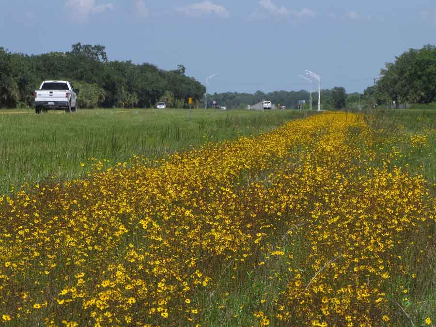
Coreopsis leavenworthii

Clouds and wildflowers
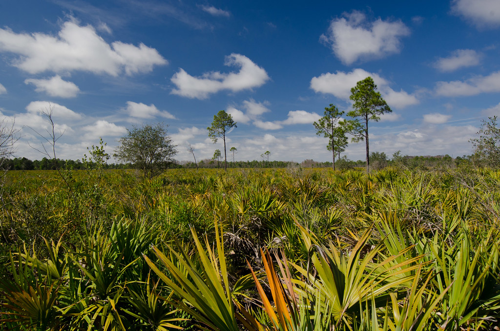
Panther Ecoscape

Okaloacoochee Slough State Forest

Panther Ecoscape
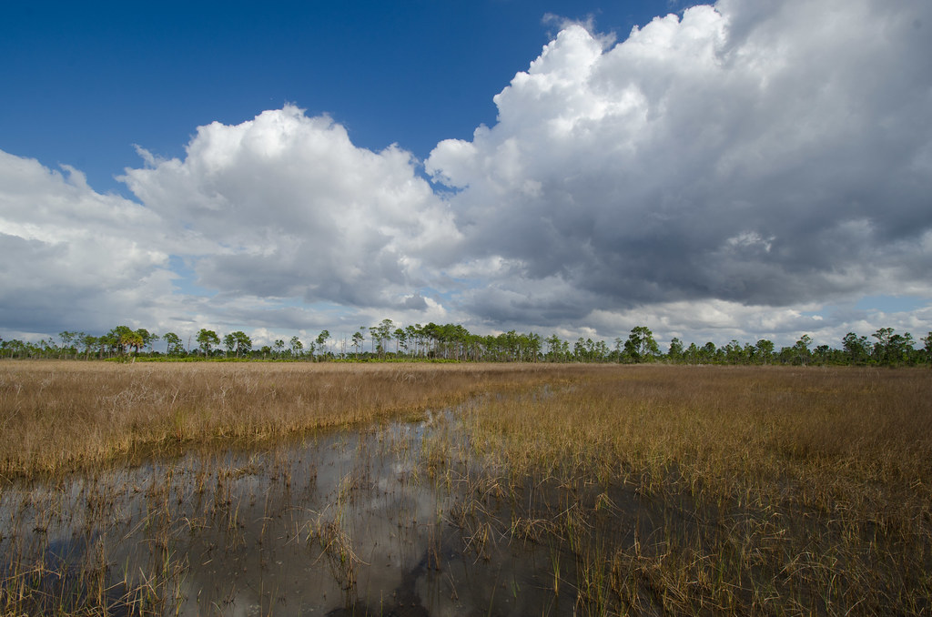
Ok Slough

Moody Sky

messenger-quick-cam-1471713552279

James Whetzel
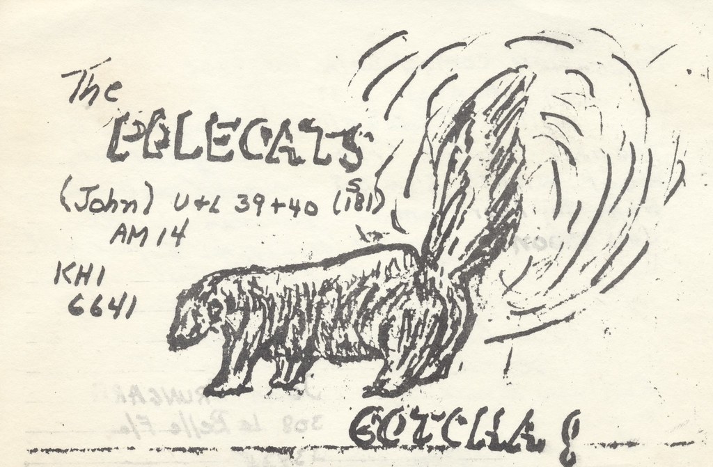
The Polecats - La Belle, Florida
Topographic Map of Beaumont Ln, LaBelle, FL, USA
Find elevation by address:

Places near Beaumont Ln, LaBelle, FL, USA:
Port Labelle
2002 Fl-80
4058 E Sunflower Cir
3014 Jamestown Rd
Labelle
1035 Fl-29
4th Avenue
Sherwood Circle
608 Elizabeth St
900 Aqua Isles Blvd
1951 W Hickpochee Ave
391 Caloosa Estates Dr
2512 Caloosa Shores Dr
Fort Denaud
2074 Fort Denaud Rd
2070 Fort Denaud Rd
Fort Denaud, FL, USA
2530 Fort Denaud Rd
3020 North River Rd
3020 North River Rd
Recent Searches:
- Elevation of 15th Ave SE, St. Petersburg, FL, USA
- Elevation of Beall Road, Beall Rd, Florida, USA
- Elevation of Leguwa, Nepal
- Elevation of County Rd, Enterprise, AL, USA
- Elevation of Kolchuginsky District, Vladimir Oblast, Russia
- Elevation of Shustino, Vladimir Oblast, Russia
- Elevation of Lampiasi St, Sarasota, FL, USA
- Elevation of Elwyn Dr, Roanoke Rapids, NC, USA
- Elevation of Congressional Dr, Stevensville, MD, USA
- Elevation of Bellview Rd, McLean, VA, USA