Elevation of Sheepshead Mountain, Montana, USA
Location: United States > Montana > Silver Bow County > Butte >
Longitude: -112.43307
Latitude: 46.1563168
Elevation: 2318m / 7605feet
Barometric Pressure: 76KPa
Elevation Map:
Satellite Map:
Related Photos:

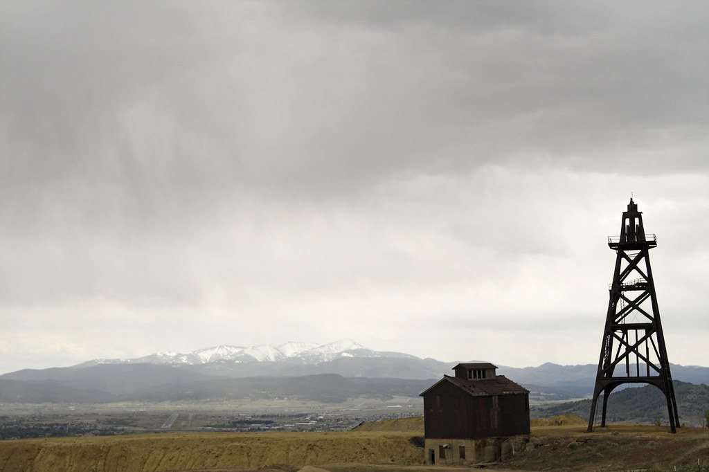
Granite Mountain - Butte, Montana
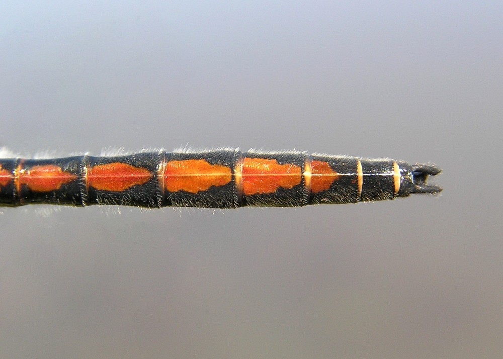
Boreal Whiteface [ Leucorrhinia borealis ] male
Walkerville, Montana 59701
blue stool

J. V. Harmon, Butte, Montana (1901)
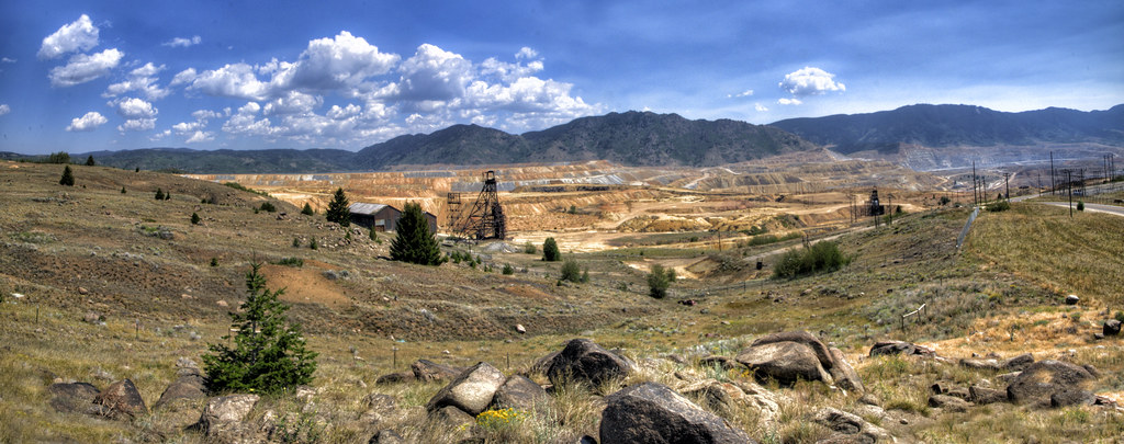
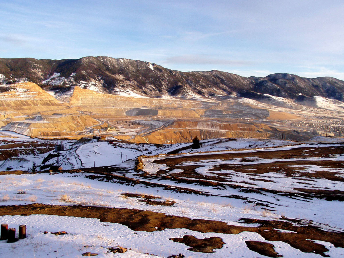
Berkeley Pit overview from Walkerville, Montana

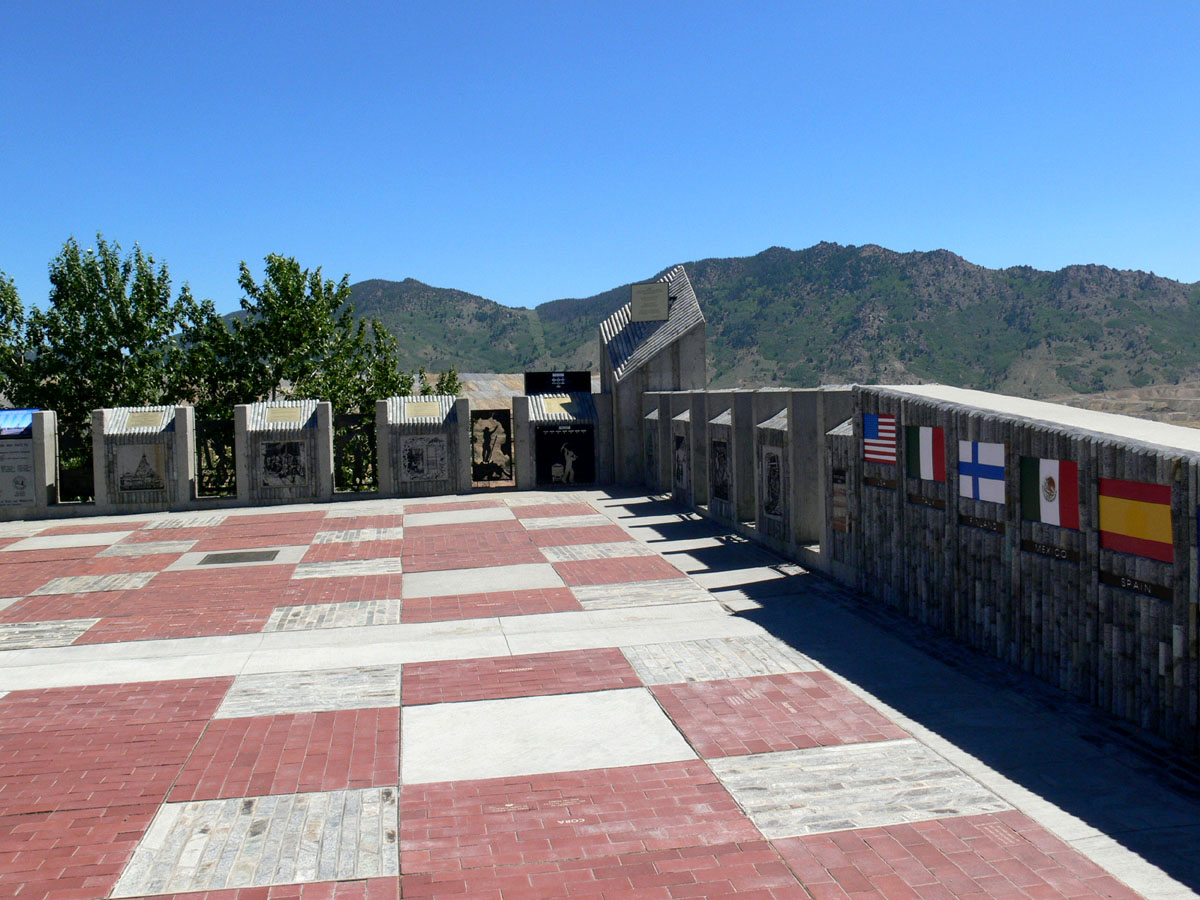
Butte was Never a Company Town (Part 3)

Butte was Never a Company Town (Part 1)

Butte was Never a Company Town (Part 2)

This is a Picture of Three Red Traffic Cones

Butte, Montana Mining Town Sunset Part 1

7-24_16
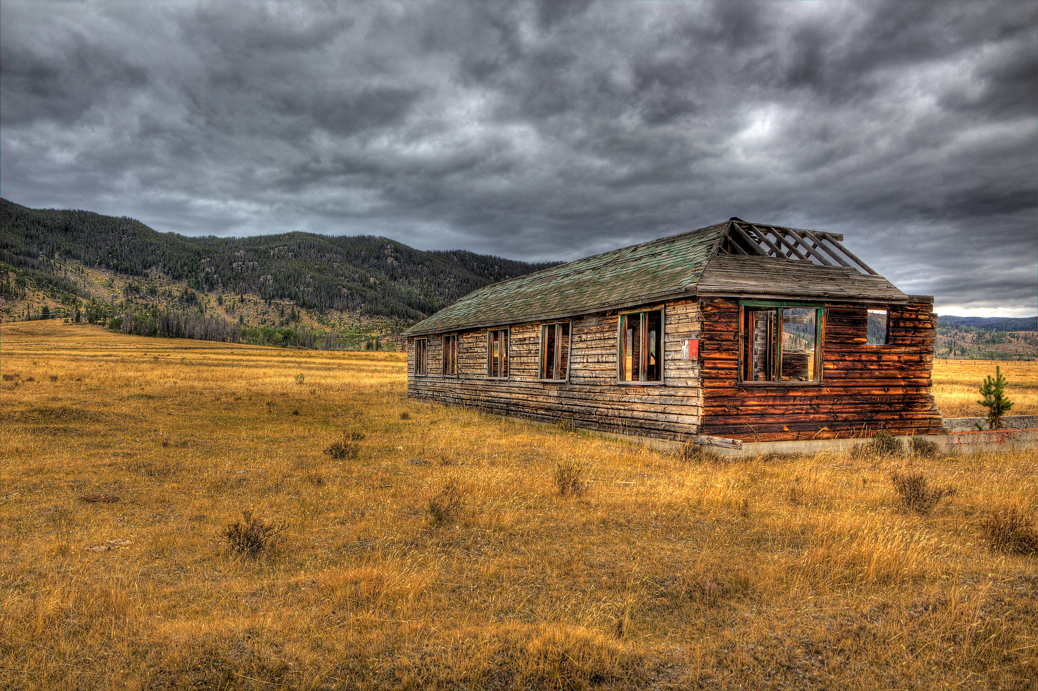
Peaceful decay.....

7-25_04
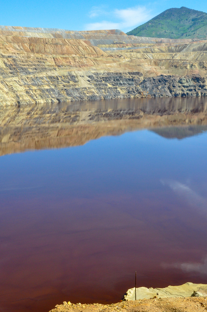
Colors in Berkeley Pit
7-24_13
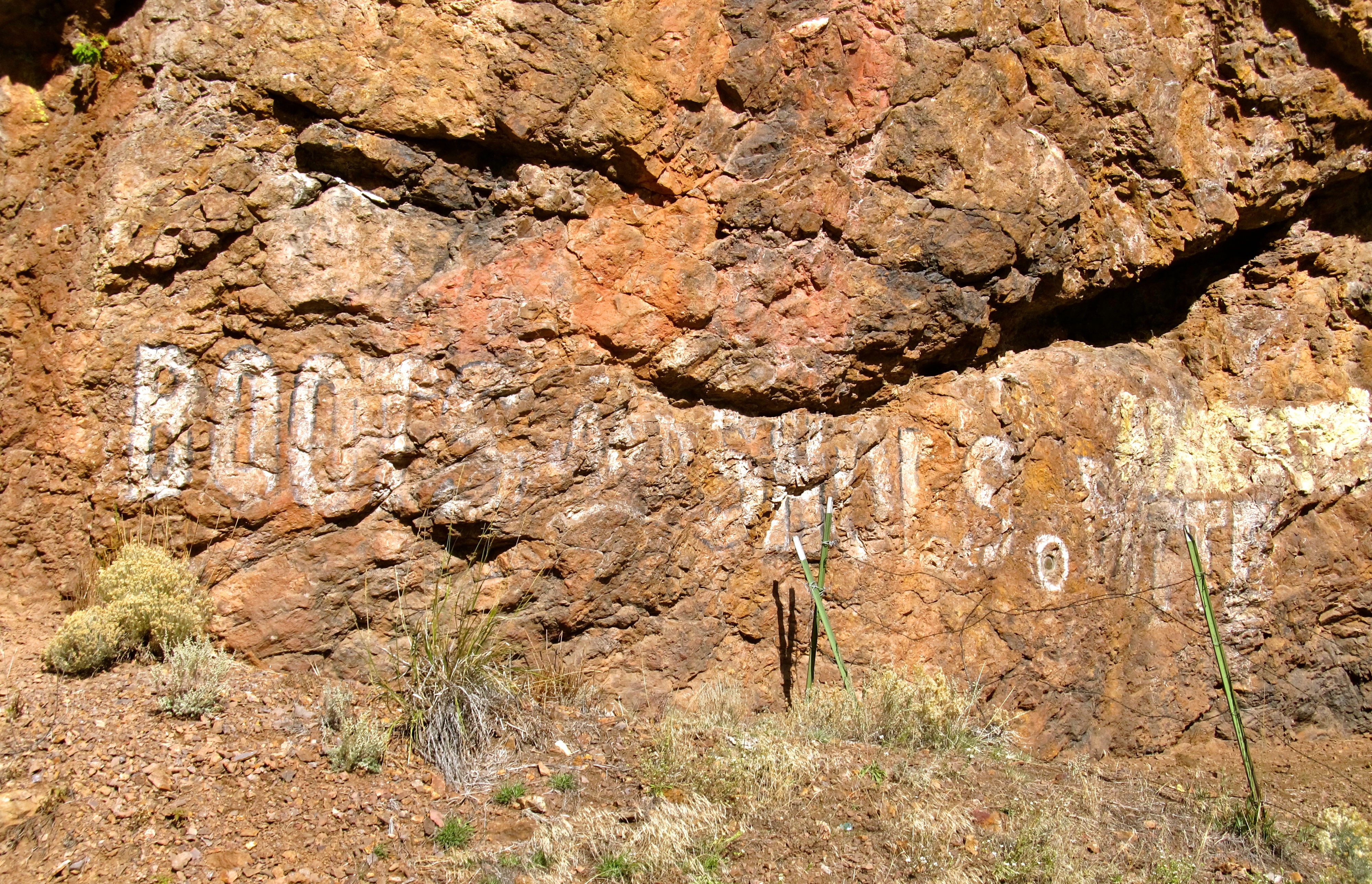
Ghost Rock Art. "Boots and Shoes Butte" Seen near Basin,Montana
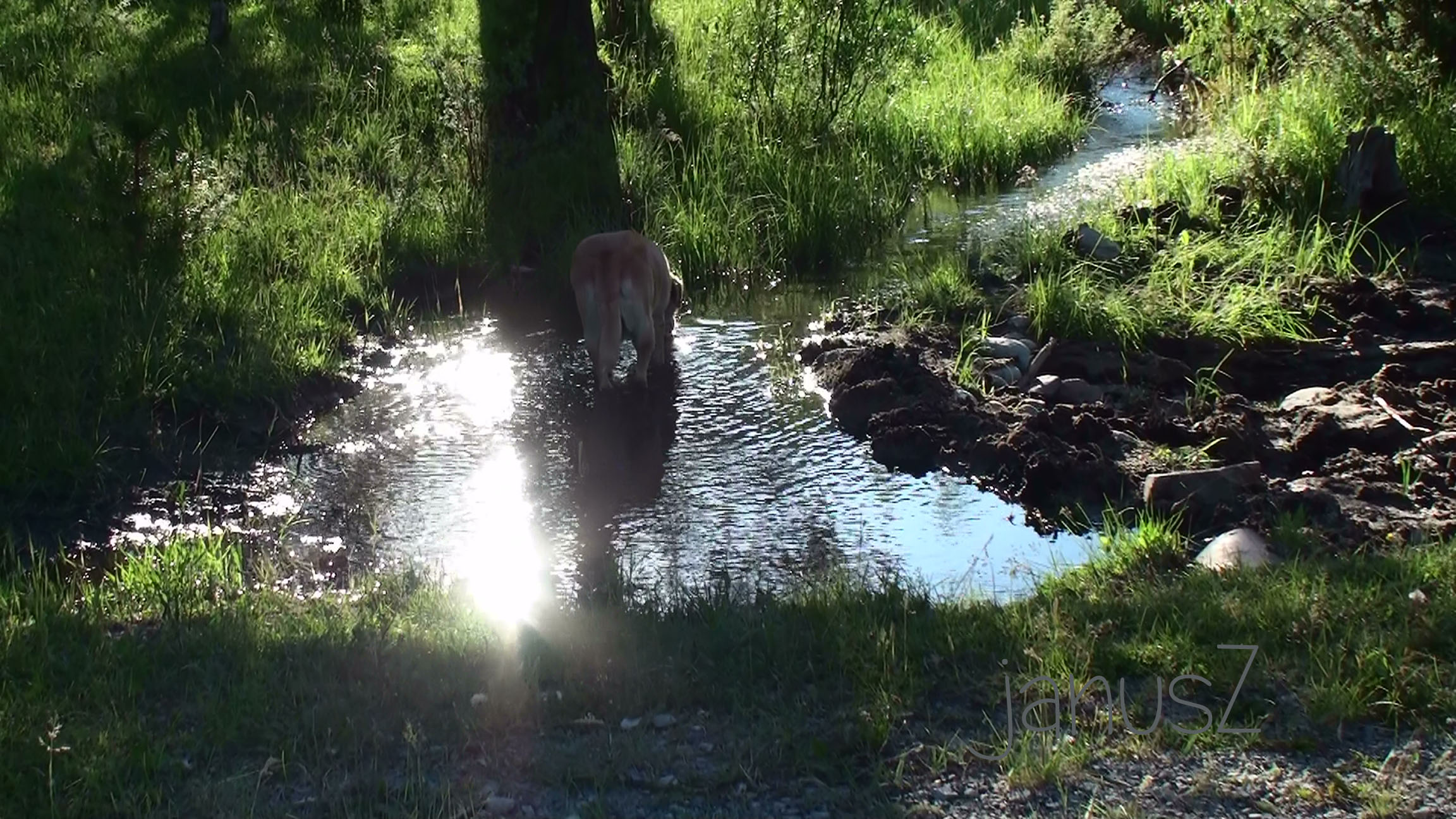
Butte Spring
150624 I-15 Montana - 6
Meaderville, Montana
7-25_05
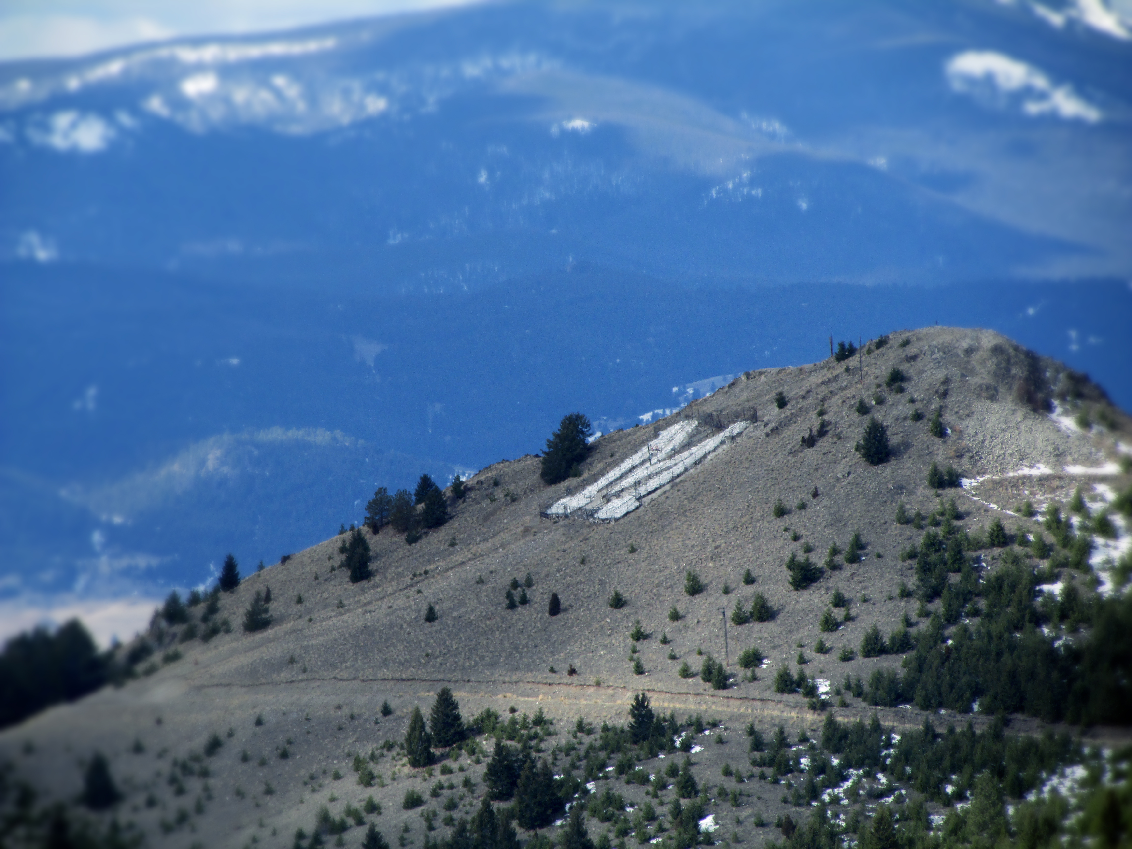
The 'M' above Montana Tech
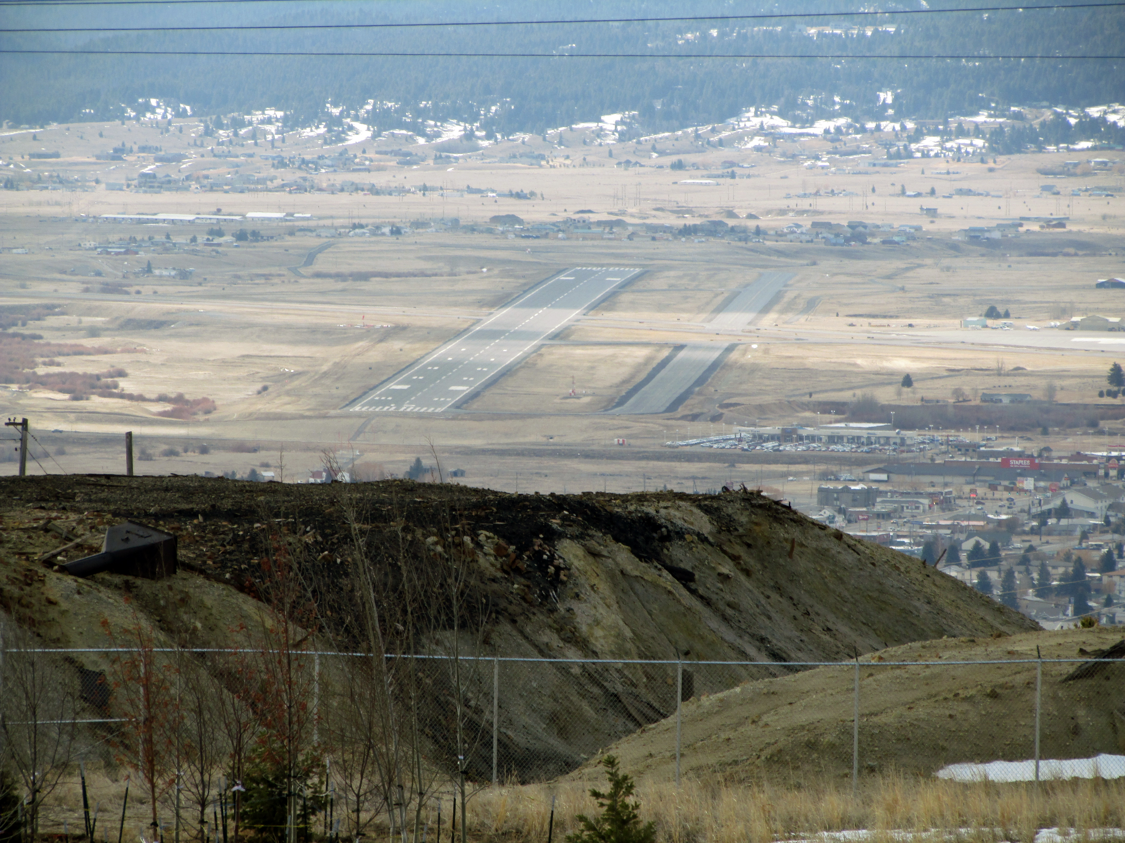
Bert Mooney Airport, Butte - runway 15/33
7-24_10

Panorama 12
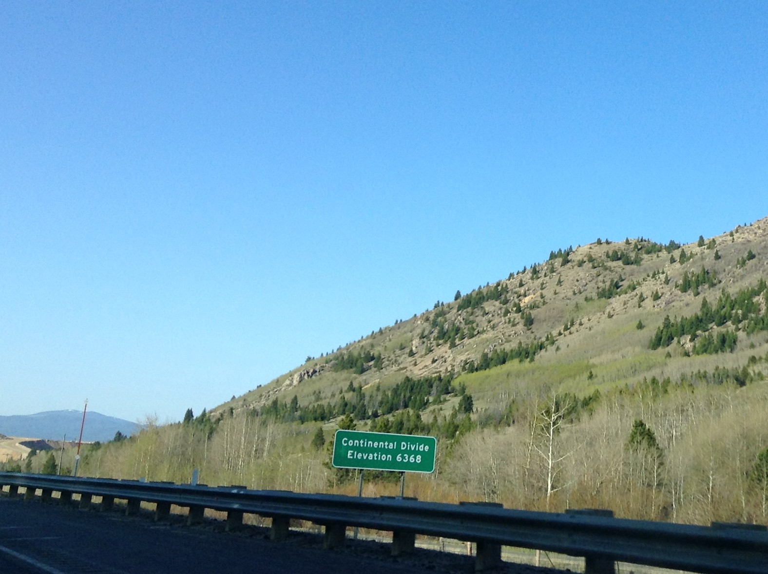
I-15 South - Elk Park Pass
Topographic Map of Sheepshead Mountain, Montana, USA
Find elevation by address:

Places near Sheepshead Mountain, Montana, USA:
Haystack Mountain
Rampart Mountain
Butte, MT, USA
Sullivan Mountain
Fox Mountain
2600 Grand Ave
3245 St Ann St
Thunderbolt Mountain
2855 Moulton St
Mount Pisgah
3347 Keokuk St
300 Mt Highland Dr
13 Boulder St
Goldflint Mountain
Basin
Mcclusky Mountain
Jack Mountain
Homestake
Homestake Pass
Homestake Lake
Recent Searches:
- Elevation of Corso Fratelli Cairoli, 35, Macerata MC, Italy
- Elevation of Tallevast Rd, Sarasota, FL, USA
- Elevation of 4th St E, Sonoma, CA, USA
- Elevation of Black Hollow Rd, Pennsdale, PA, USA
- Elevation of Oakland Ave, Williamsport, PA, USA
- Elevation of Pedrógão Grande, Portugal
- Elevation of Klee Dr, Martinsburg, WV, USA
- Elevation of Via Roma, Pieranica CR, Italy
- Elevation of Tavkvetili Mountain, Georgia
- Elevation of Hartfords Bluff Cir, Mt Pleasant, SC, USA