Elevation of Goldflint Mountain, Montana, USA
Location: United States > Montana > Whitehall >
Longitude: -112.38223
Latitude: 45.9604822
Elevation: 2337m / 7667feet
Barometric Pressure: 76KPa
Elevation Map:
Satellite Map:
Related Photos:
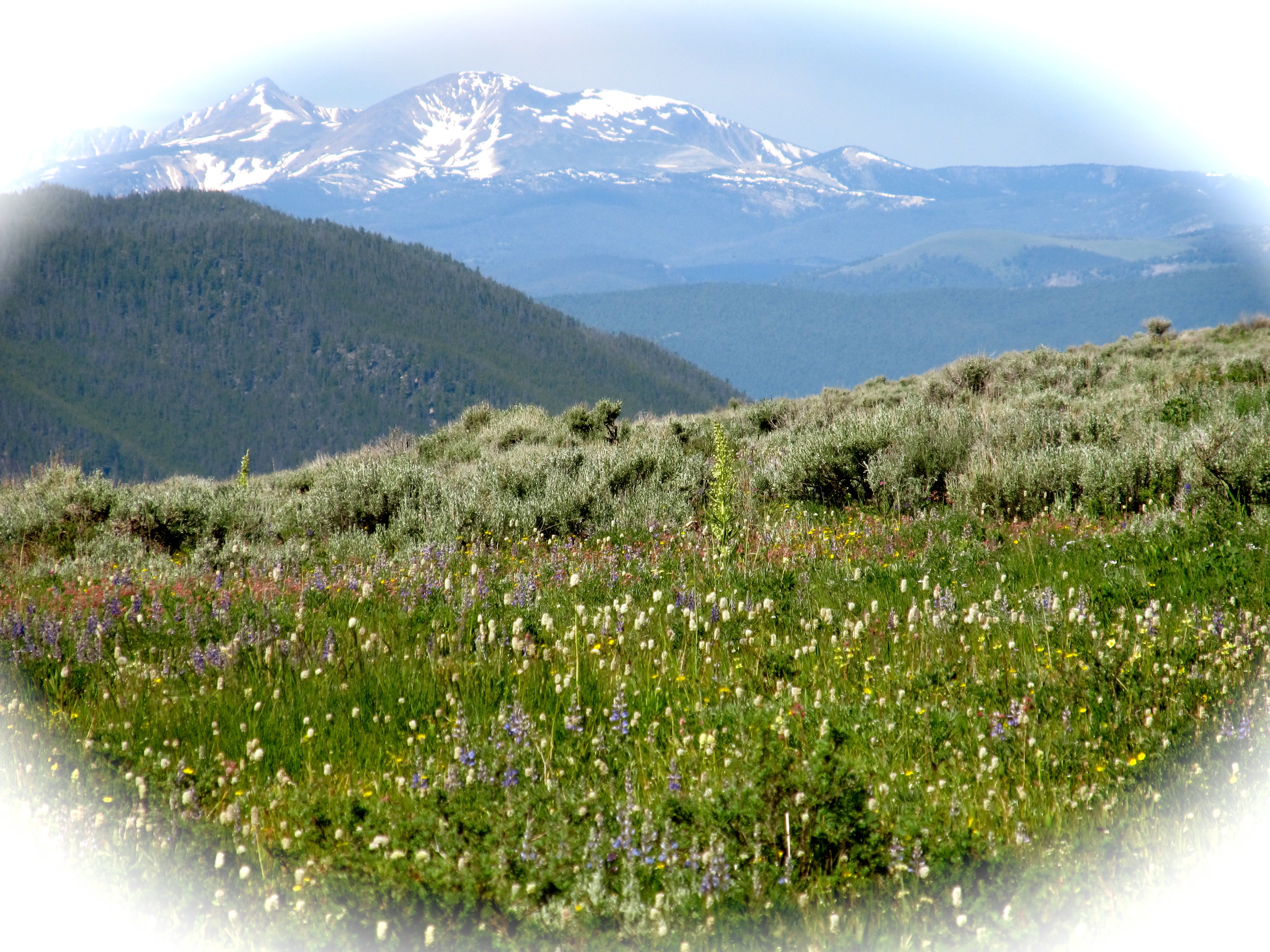
Pioneer Mountains. Montana
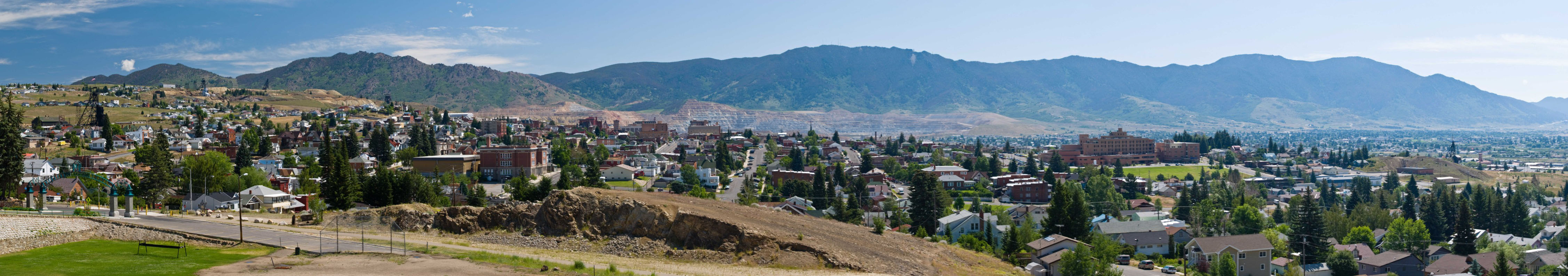
Big Sky Country
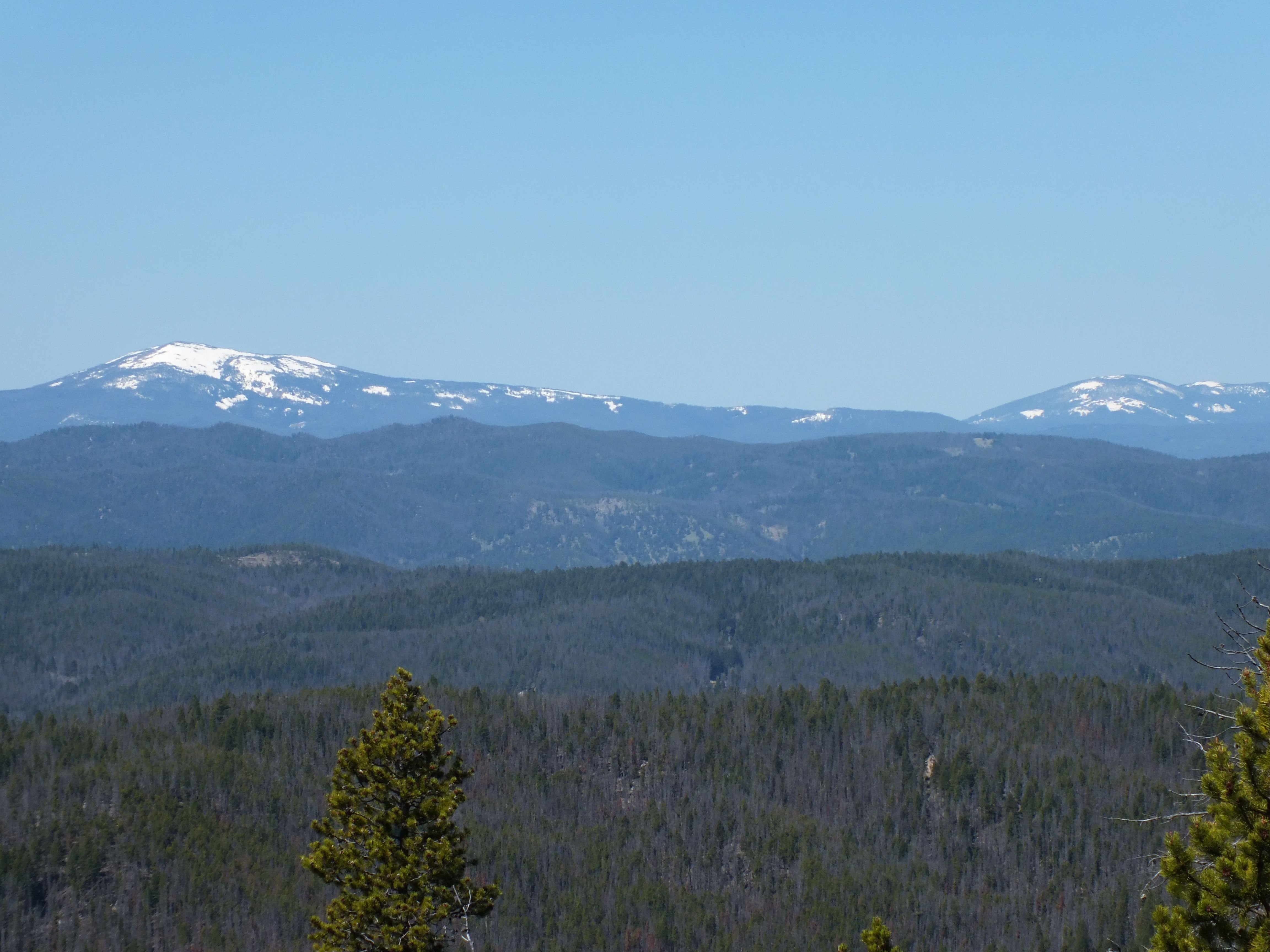
View of Pintler Range from Homestake Pass Trail

090730_003-View south from Meadow View Micro
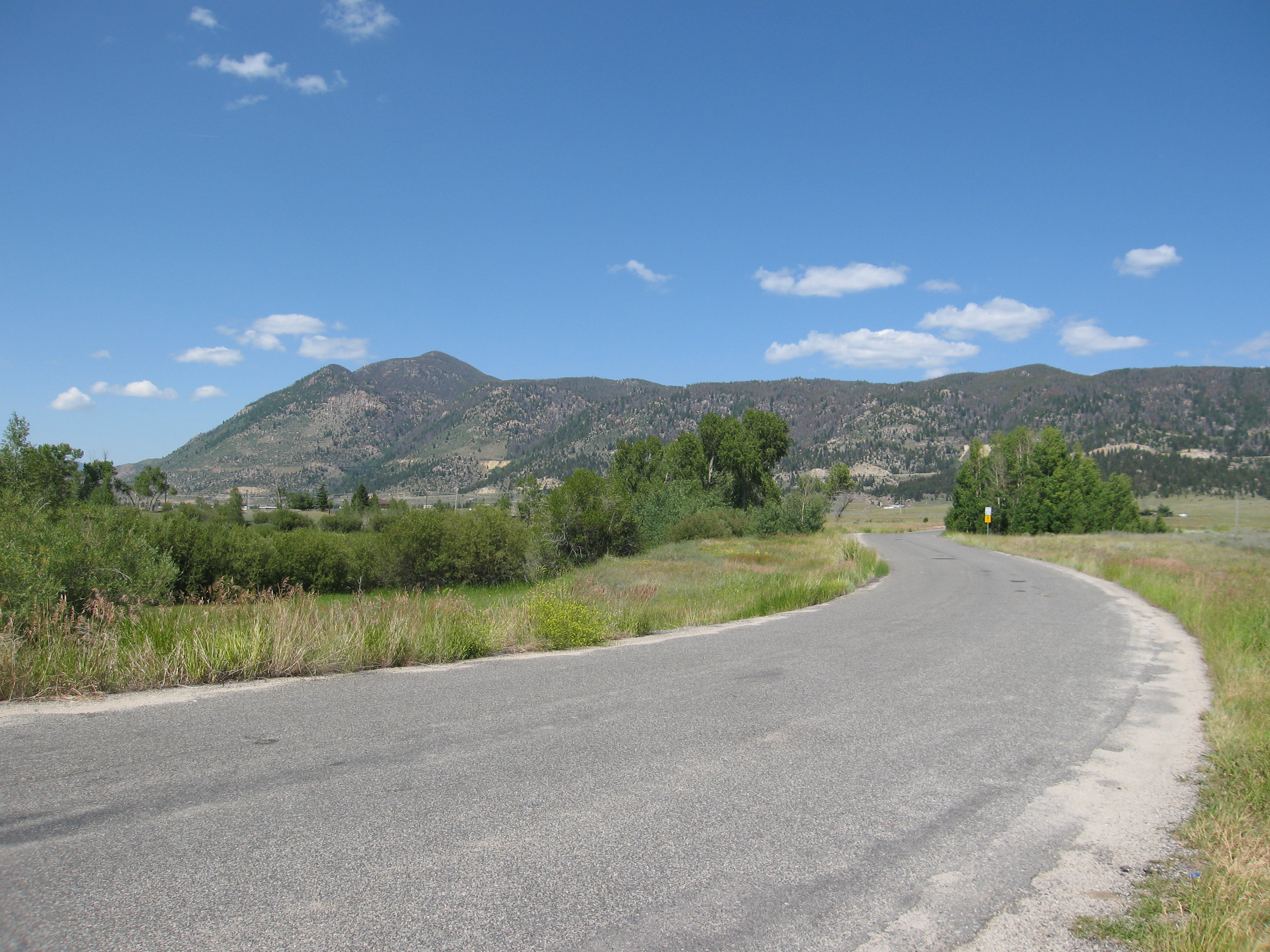
090730_002-View north from Meadow View Micro
Topographic Map of Goldflint Mountain, Montana, USA
Find elevation by address:

Places near Goldflint Mountain, Montana, USA:
Homestake
Homestake Lake
Homestake Pass
3347 Keokuk St
Sage Meadow Circle
3245 St Ann St
Mcclusky Mountain
300 Mt Highland Dr
2855 Moulton St
Toll Mountain
2600 Grand Ave
Rampart Mountain
Butte, MT, USA
Limekiln Hill
Dry Mountain
Haystack Mountain
Sheepshead Mountain
Ration Mountain
Red Mountain
East Peak
Recent Searches:
- Elevation of Corso Fratelli Cairoli, 35, Macerata MC, Italy
- Elevation of Tallevast Rd, Sarasota, FL, USA
- Elevation of 4th St E, Sonoma, CA, USA
- Elevation of Black Hollow Rd, Pennsdale, PA, USA
- Elevation of Oakland Ave, Williamsport, PA, USA
- Elevation of Pedrógão Grande, Portugal
- Elevation of Klee Dr, Martinsburg, WV, USA
- Elevation of Via Roma, Pieranica CR, Italy
- Elevation of Tavkvetili Mountain, Georgia
- Elevation of Hartfords Bluff Cir, Mt Pleasant, SC, USA