Elevation of Sullivan Mountain, Montana, USA
Location: United States > Montana > Basin >
Longitude: -112.31390
Latitude: 46.2321507
Elevation: 2172m / 7126feet
Barometric Pressure: 78KPa
Elevation Map:
Satellite Map:
Related Photos:
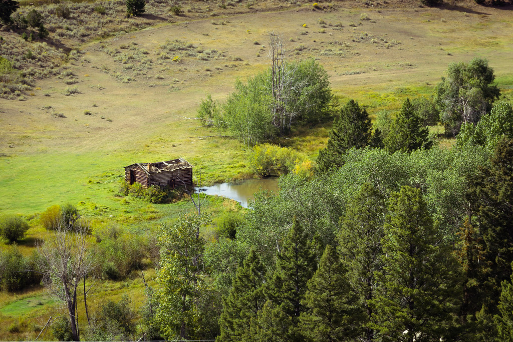
Old hog barn and beaver pond
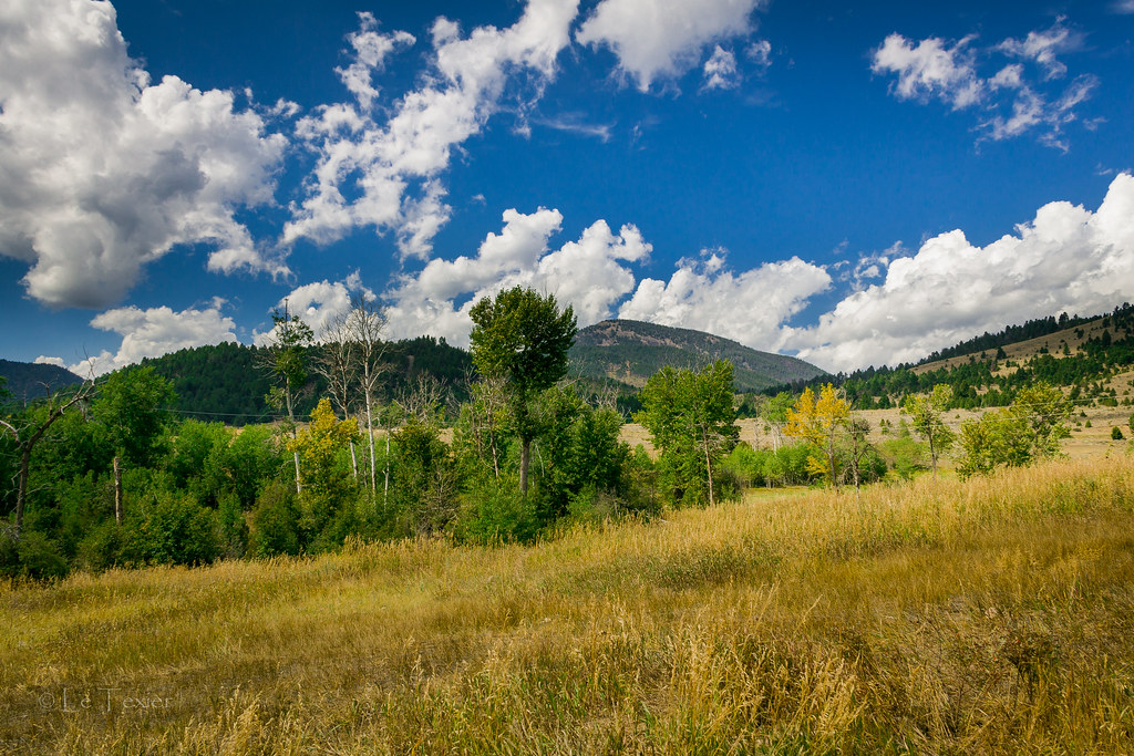
Le Texier Ranch

BOULDER RIVER,MONTANA,U.S.A
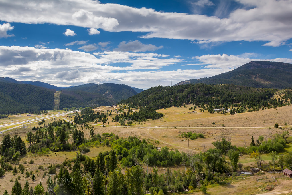
Ranch View
Topographic Map of Sullivan Mountain, Montana, USA
Find elevation by address:

Places near Sullivan Mountain, Montana, USA:
13 Boulder St
Basin
Fox Mountain
Mount Pisgah
Haystack Mountain
Jack Mountain
Mount Thompson
Rocker Peak
Sheepshead Mountain
149 Depot Hill Rd
Thunderbolt Mountain
Bison Mountain
Boulder
125 N Main St
Occidental Plateau
Amazon
Amazon Rd, Boulder, MT, USA
Rampart Mountain
Upper Valley Rd, Boulder, MT, USA
Mcclusky Mountain
Recent Searches:
- Elevation of Corso Fratelli Cairoli, 35, Macerata MC, Italy
- Elevation of Tallevast Rd, Sarasota, FL, USA
- Elevation of 4th St E, Sonoma, CA, USA
- Elevation of Black Hollow Rd, Pennsdale, PA, USA
- Elevation of Oakland Ave, Williamsport, PA, USA
- Elevation of Pedrógão Grande, Portugal
- Elevation of Klee Dr, Martinsburg, WV, USA
- Elevation of Via Roma, Pieranica CR, Italy
- Elevation of Tavkvetili Mountain, Georgia
- Elevation of Hartfords Bluff Cir, Mt Pleasant, SC, USA