Elevation of Mount Pisgah, Mt Pisgah, Montana, USA
Location: United States > Montana > Boulder >
Longitude: -112.25167
Latitude: 46.1771502
Elevation: 2400m / 7874feet
Barometric Pressure: 76KPa
Elevation Map:
Satellite Map:
Related Photos:
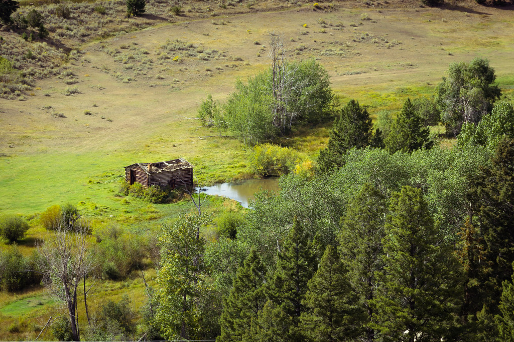
Old hog barn and beaver pond
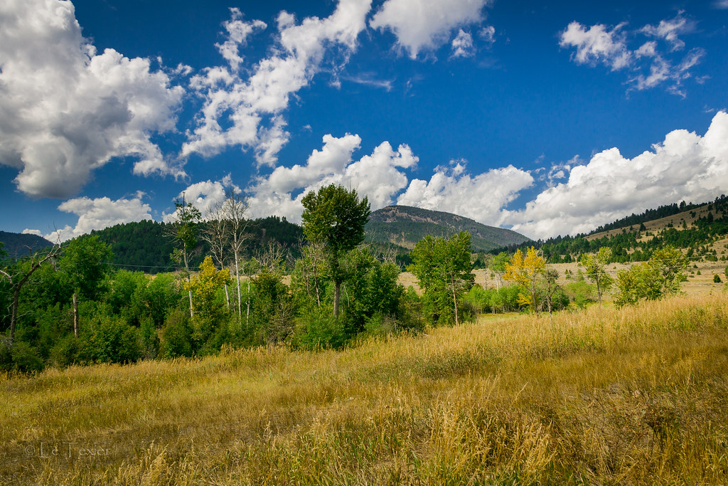
Le Texier Ranch

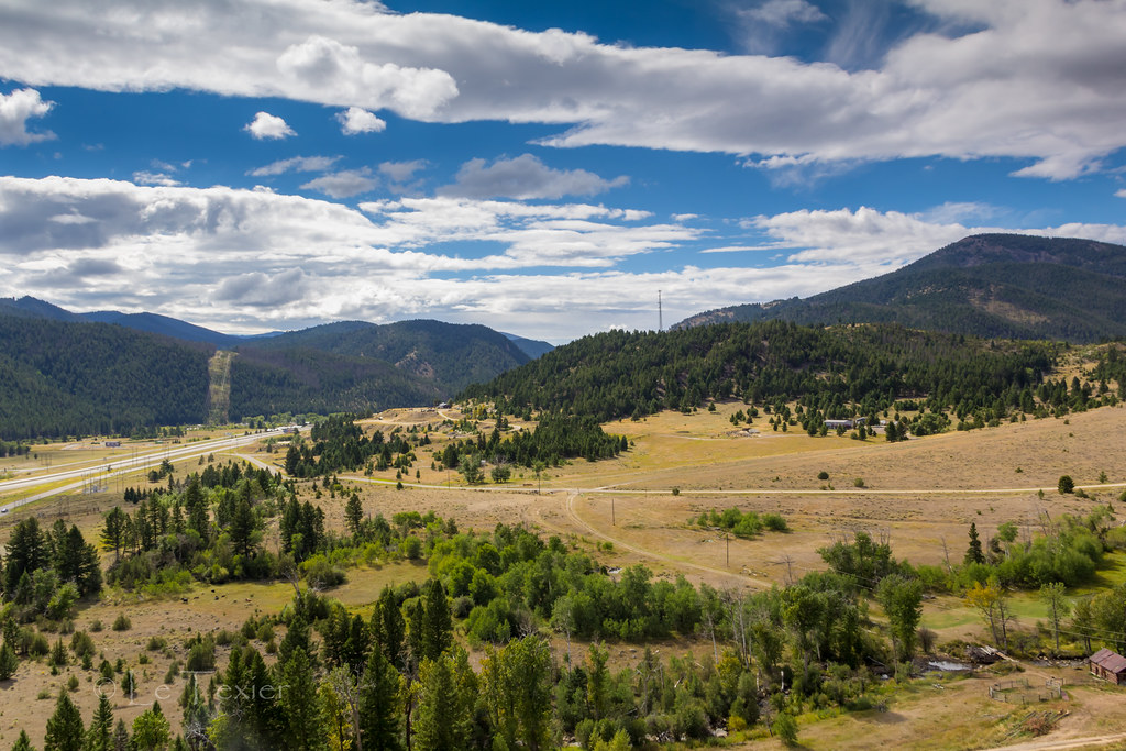
BOULDER RIVER,MONTANA,U.S.A
Ranch View
Topographic Map of Mount Pisgah, Mt Pisgah, Montana, USA
Find elevation by address:

Places near Mount Pisgah, Mt Pisgah, Montana, USA:
Haystack Mountain
Sullivan Mountain
Basin
13 Boulder St
149 Depot Hill Rd
Boulder
125 N Main St
Mount Thompson
Fox Mountain
Jack Mountain
Ration Mountain
Rocker Peak
Jefferson County
Sheepshead Mountain
Mcclusky Mountain
Bull Lookout
Bull Mountain North
Upper Valley Rd, Boulder, MT, USA
Amazon
Amazon Rd, Boulder, MT, USA
Recent Searches:
- Elevation of Corso Fratelli Cairoli, 35, Macerata MC, Italy
- Elevation of Tallevast Rd, Sarasota, FL, USA
- Elevation of 4th St E, Sonoma, CA, USA
- Elevation of Black Hollow Rd, Pennsdale, PA, USA
- Elevation of Oakland Ave, Williamsport, PA, USA
- Elevation of Pedrógão Grande, Portugal
- Elevation of Klee Dr, Martinsburg, WV, USA
- Elevation of Via Roma, Pieranica CR, Italy
- Elevation of Tavkvetili Mountain, Georgia
- Elevation of Hartfords Bluff Cir, Mt Pleasant, SC, USA