Elevation of Shake Ridge Rd, Volcano, CA, USA
Location: United States > California > Amador County > Volcano >
Longitude: -120.64780
Latitude: 38.4662558
Elevation: 891m / 2923feet
Barometric Pressure: 91KPa
Elevation Map:
Satellite Map:
Related Photos:

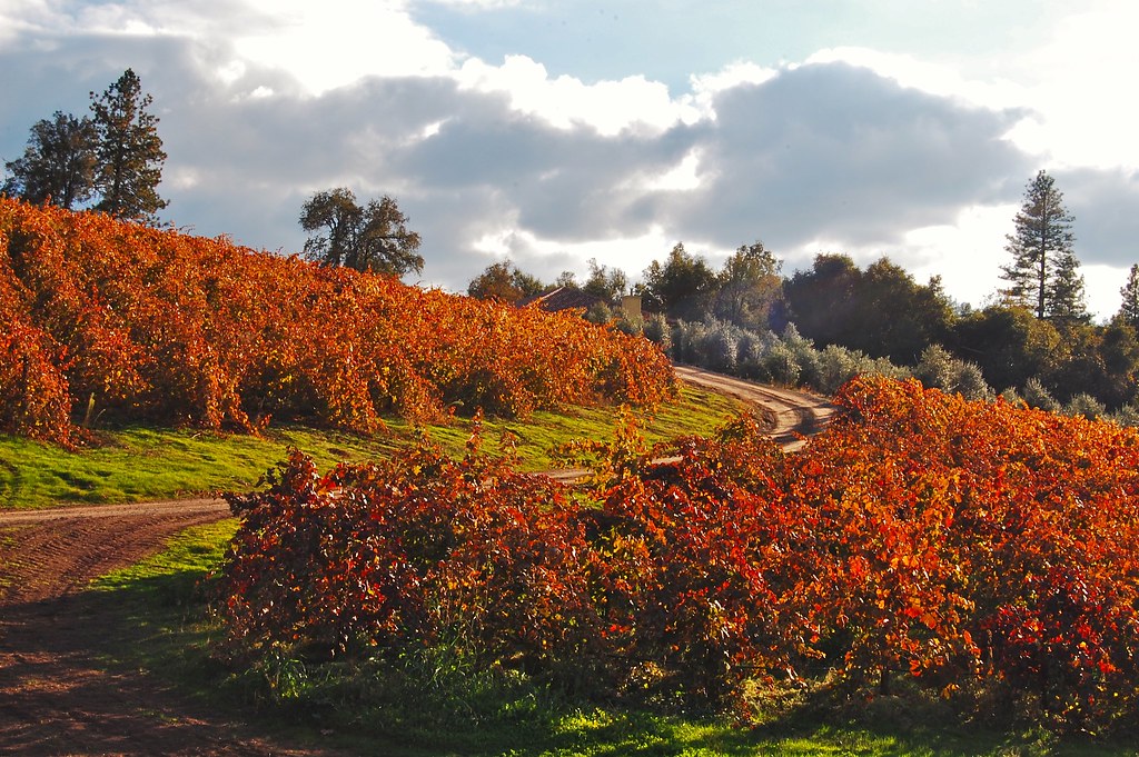
The Harvest!

Mt. Aukum fall views

view, Helwig Winery, Amador County,

Miwok Ceremonial Roundhouse, 6 of 6

Outside the Cheese Shop

Cooper Vineyards

Indian Grinding Rock

Rainy view of our 2004 30' Classic Airstream

Blue-eyed Frog

Shadow Ranch, Winery view
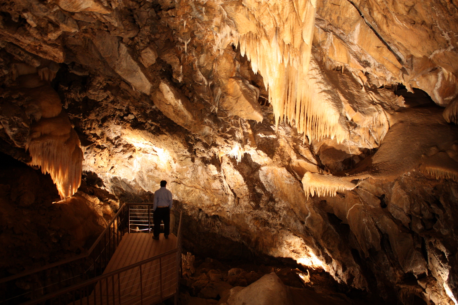
Black Chasm Cavern
Montevina Winery Panorama

Miwok Ceremonial Roundhouse, 4 of 6

Miwok Ceremonial Roundhouse, 5 of 6
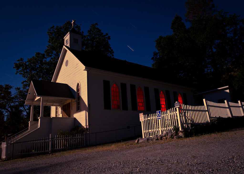
St. Bernard's Church

Miwok Ceremonial Roundhouse, 2 of 6
Karmére Vineyard

Sobon Estates view

Sobon Estates view
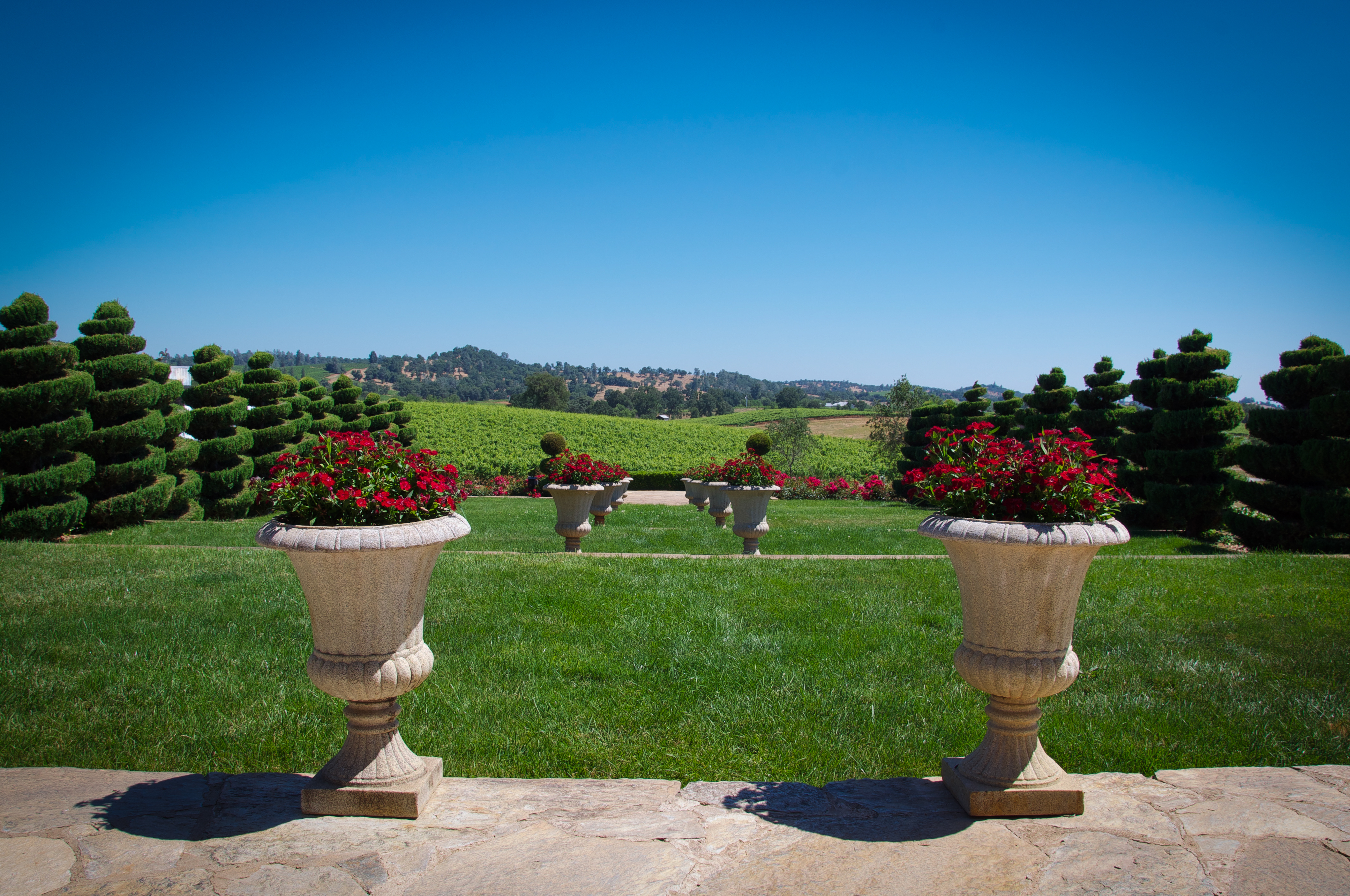
Patio views Il Gioiello tasting room

Patio views Il Gioiello tasting room

From Sutter Creek***

Stalactites in Black Chasm Cavern, Volcano, California

The Veins of an Oak at Sunset - Sutter Creek, CA

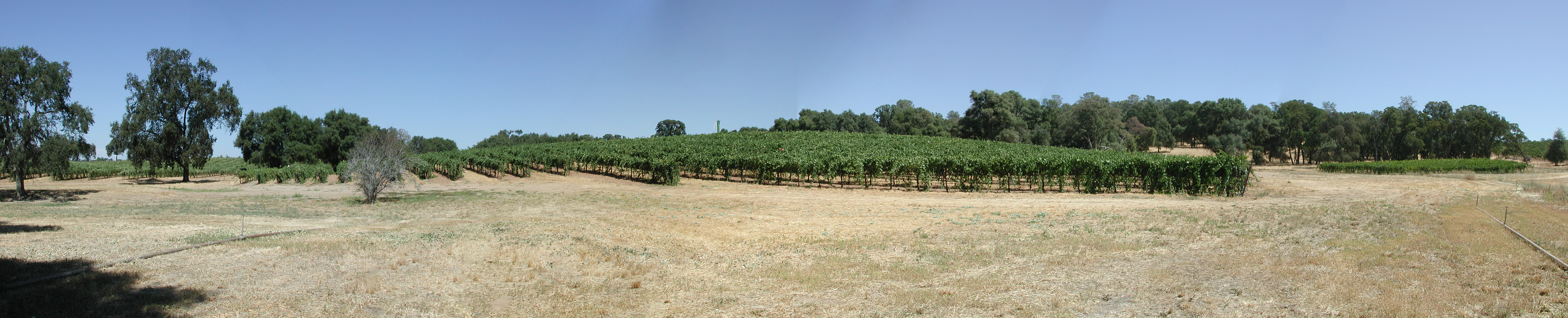
Shenendoah Valley
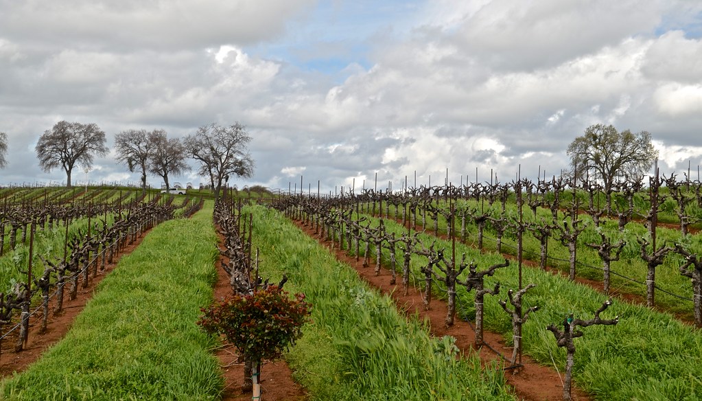
Wilderotter Vineyard, grape vines,

D'Agostini Reservoir

Protected by the shadows
Shenendoah Valley

Outside Amador City
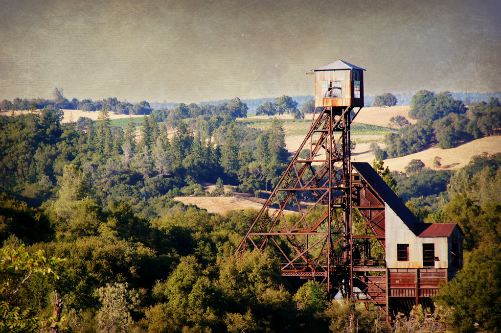
Kennedy Goldmine Headframe

Wilderotter Vineyard, grape vines,

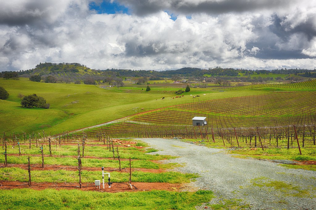
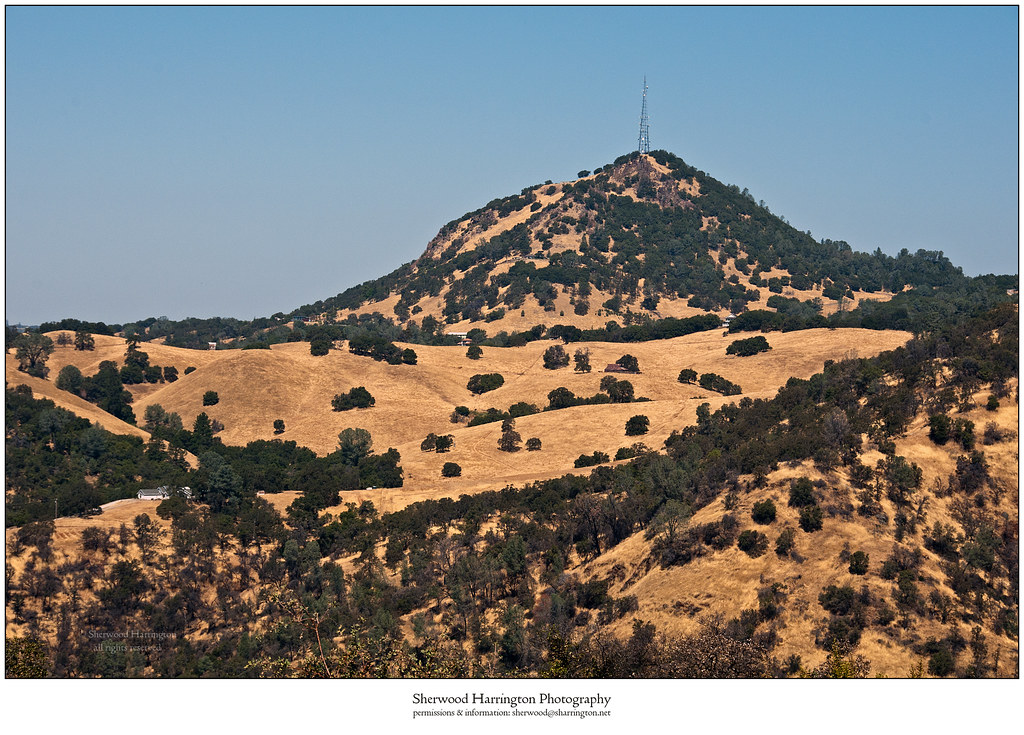
California Foothill Terrain, at it's best !!

Cooper Vineyards
Jackson Butte from Mokelumne Hill Airstrip (2)

Black Chasm Cave Tour

Drapery Stalactites

Sand Fire July 2014 © Keith Breazeal-15
Topographic Map of Shake Ridge Rd, Volcano, CA, USA
Find elevation by address:

Places near Shake Ridge Rd, Volcano, CA, USA:
19445 Charleston Rd
Shake Ridge Road & Charleston Road
Shake Ridge Road
19150 Charleston Ct
Shake Ridge Road & Mella Drive
19870 Shake Ridge Rd
19124 Charleston Ct
Mella Drive
19625 Hale Rd
17575 Rams Horn Grade Road
Rams Horn Grade Road & Shake Ridge Road
Mclaughlin's Daffodil Hill
18310 Rams Horn Grade Road
18600 Ponderosa Hills Rd
Saint Bernards Catholic Church
Wildcat Way
Wildcat Way
17071 Rams Horn Grade Road
Volcano Union Inn
Volcano
Recent Searches:
- Elevation of Elwyn Dr, Roanoke Rapids, NC, USA
- Elevation of Congressional Dr, Stevensville, MD, USA
- Elevation of Bellview Rd, McLean, VA, USA
- Elevation of Stage Island Rd, Chatham, MA, USA
- Elevation of Shibuya Scramble Crossing, 21 Udagawacho, Shibuya City, Tokyo -, Japan
- Elevation of Jadagoniai, Kaunas District Municipality, Lithuania
- Elevation of Pagonija rock, Kranto 7-oji g. 8"N, Kaunas, Lithuania
- Elevation of Co Rd 87, Jamestown, CO, USA
- Elevation of Tenjo, Cundinamarca, Colombia
- Elevation of Côte-des-Neiges, Montreal, QC H4A 3J6, Canada