Elevation of Mella Drive, Mella Dr, Volcano, CA, USA
Location: United States > California > Amador County > Volcano >
Longitude: -120.66035
Latitude: 38.4637681
Elevation: 848m / 2782feet
Barometric Pressure: 92KPa
Elevation Map:
Satellite Map:
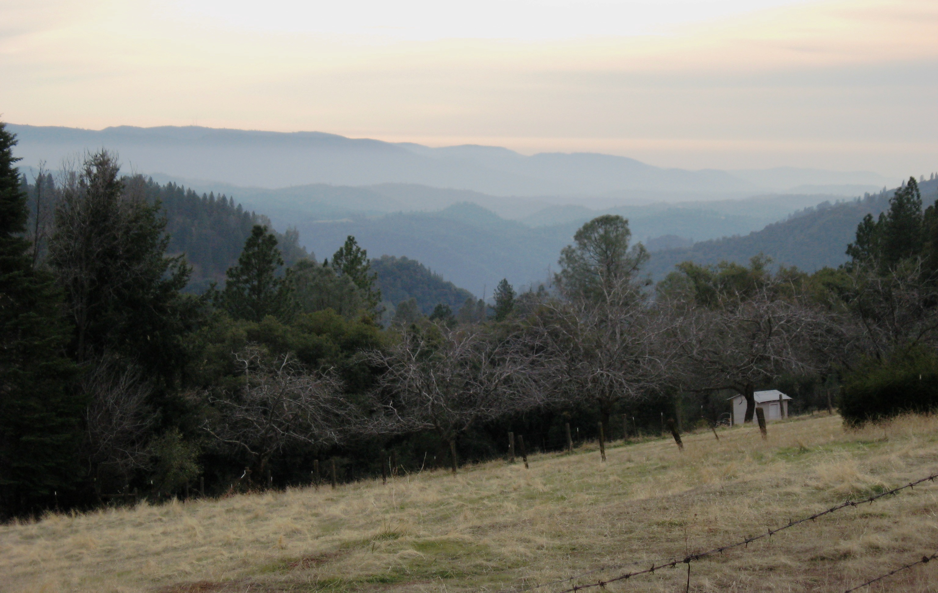
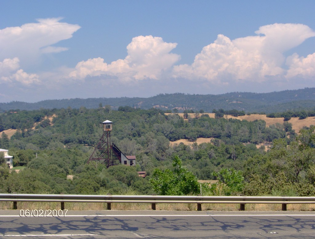
Related Photos:
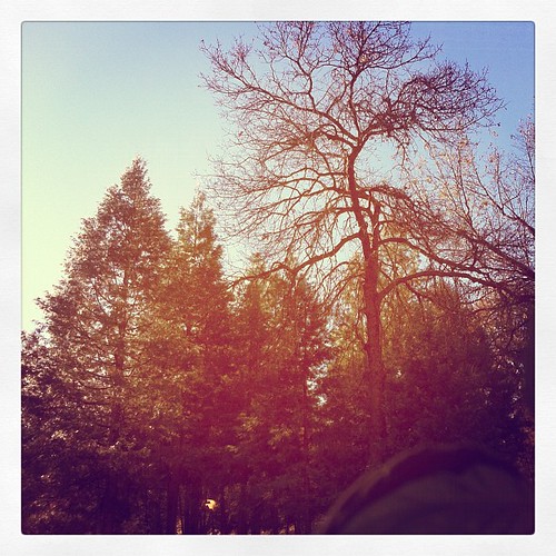
This is the view from my grandpa's front porch. I wouldn't mind waking up to this every morning. #photooftheday

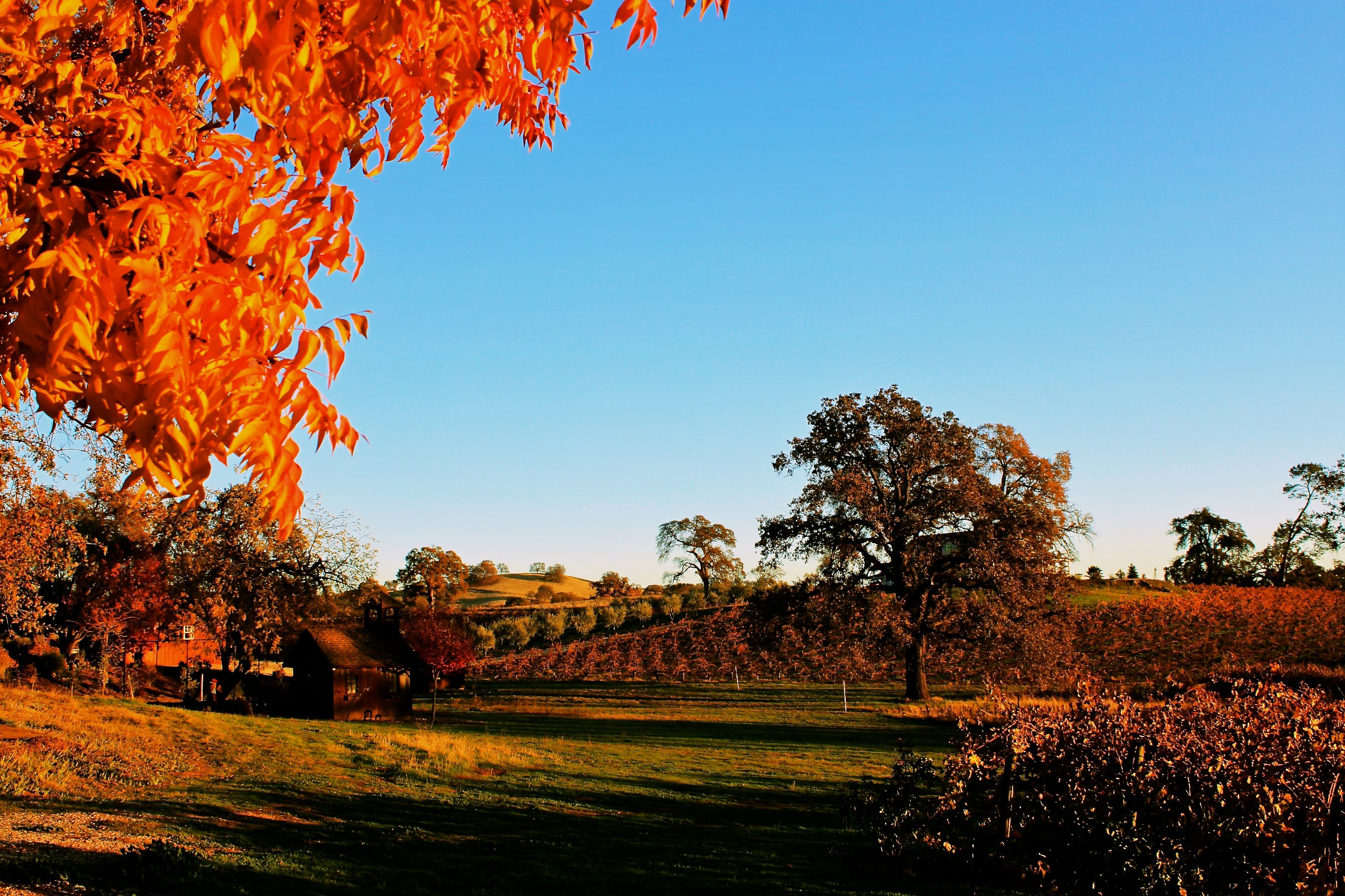
Mt. Aukum fall views
Mt. Aukum fall views

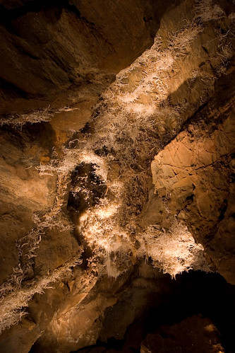
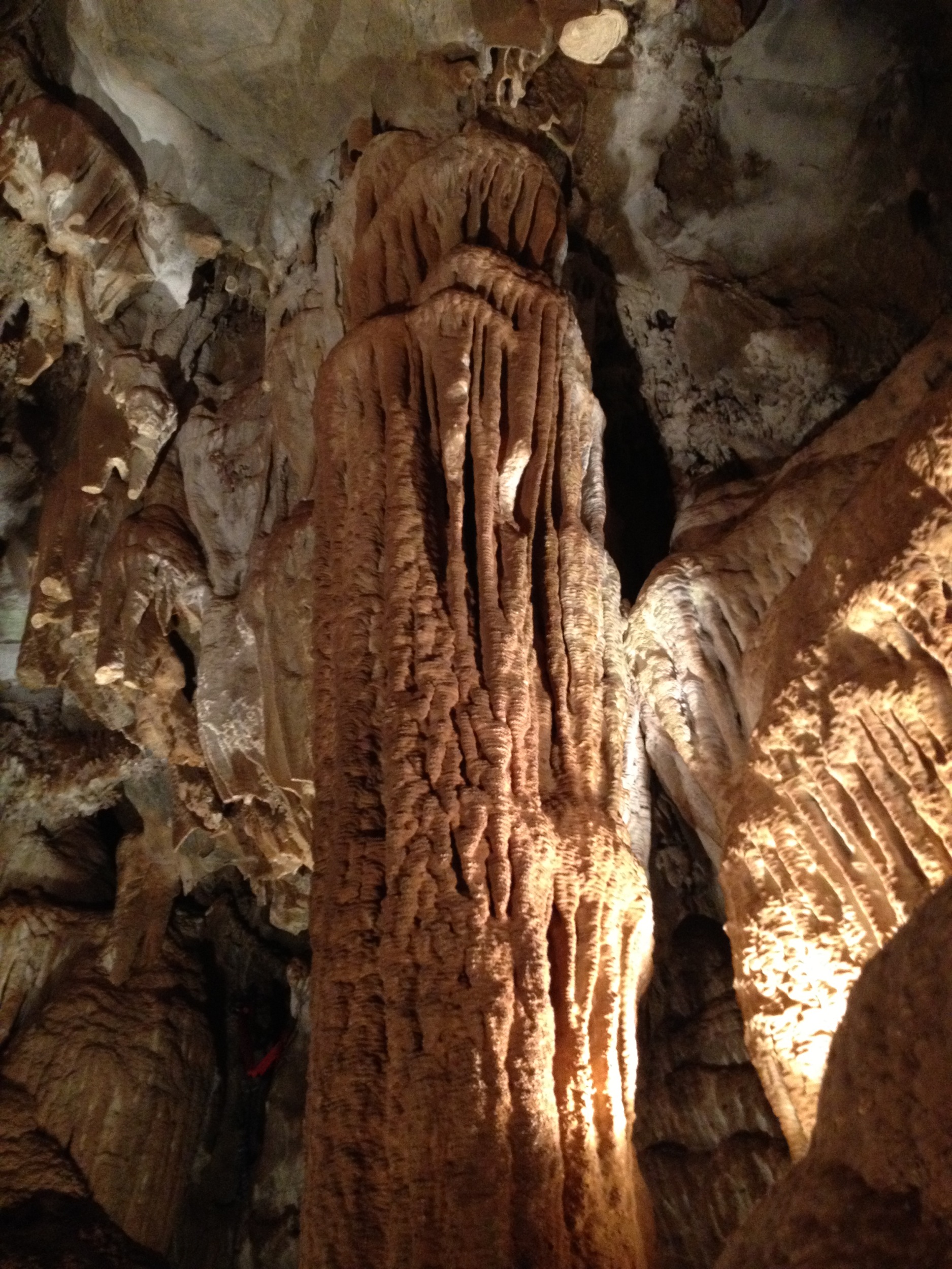
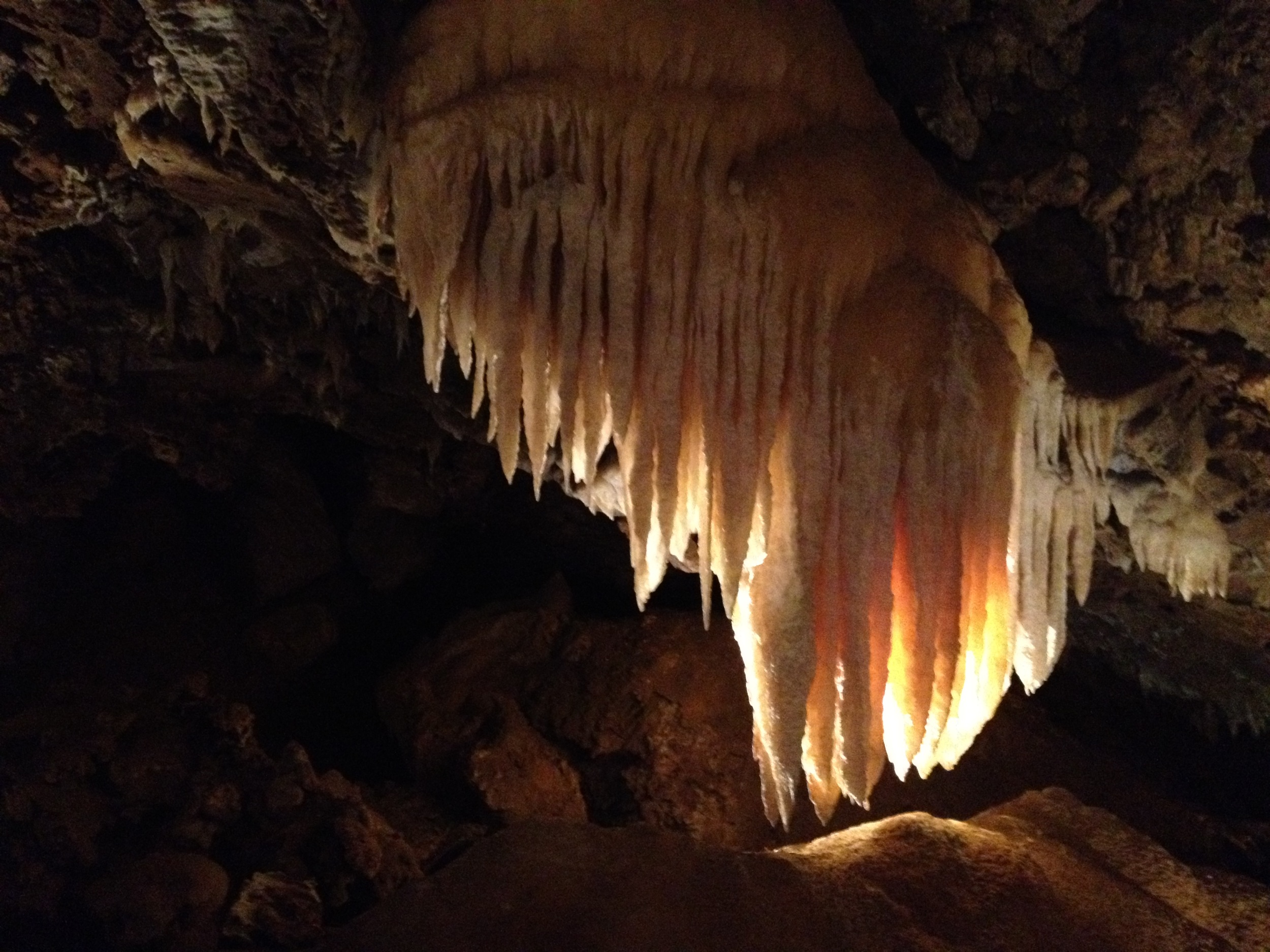
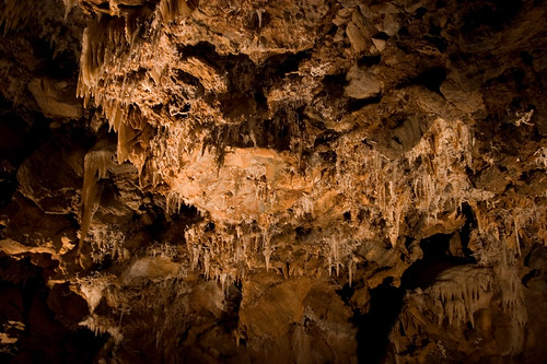
Black Chasm Cavern
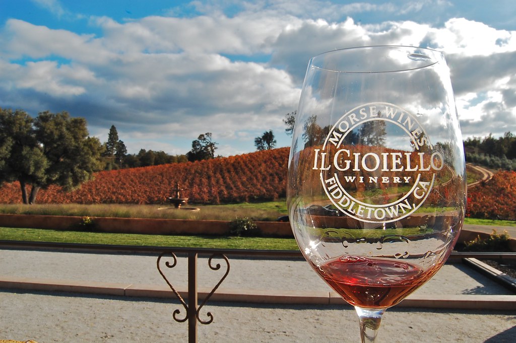
Patio views Il Gioiello tasting room
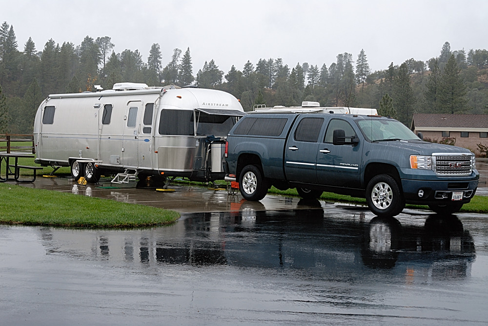
Rainy view of our 2004 30' Classic Airstream

Blue-eyed Frog

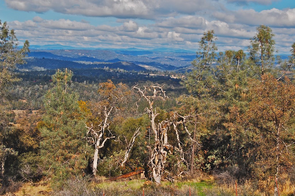
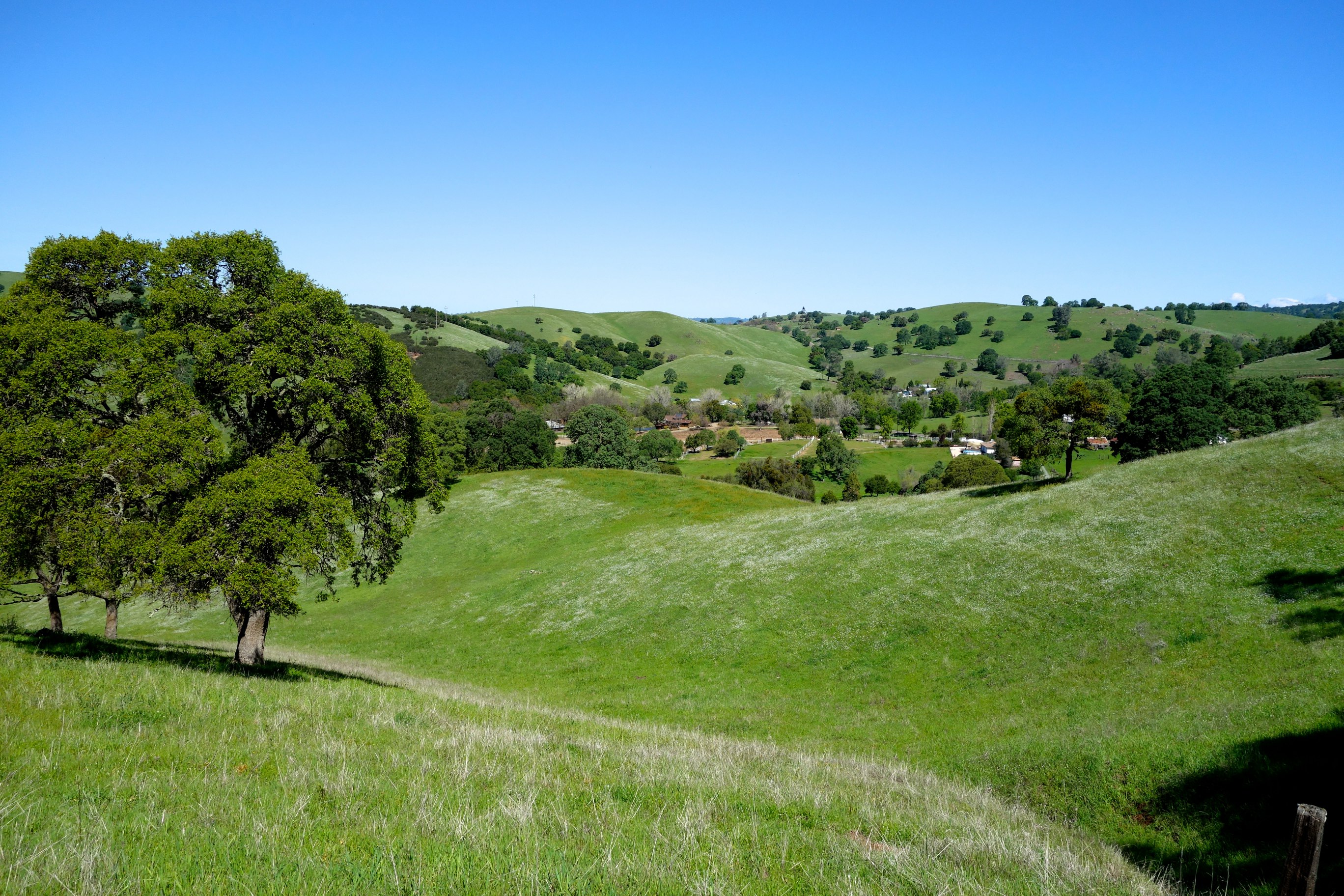
Nice Mountain View 1
Nice View 2

Sobon Estates view
Jackson, CA
Argonaut Mine
Sylvan View from Bedroom
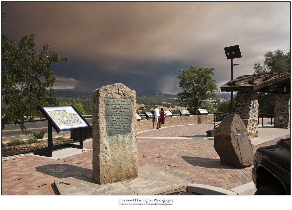
Butte Fire from the Highway 49 Vista Point, Jackson
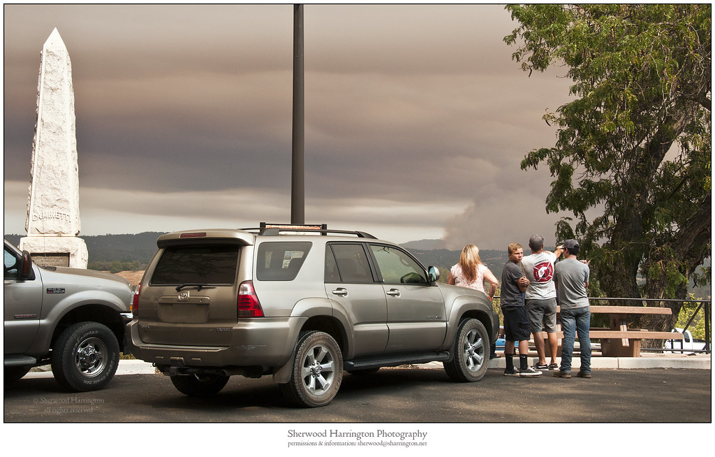
Watching Smoke
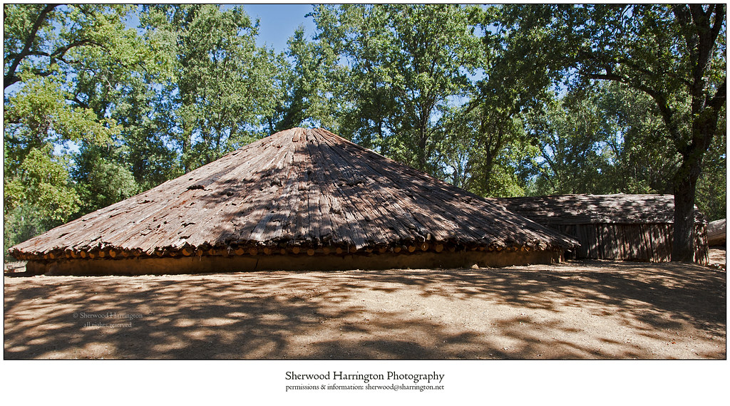
Miwok Ceremonial Roundhouse, 2 of 6
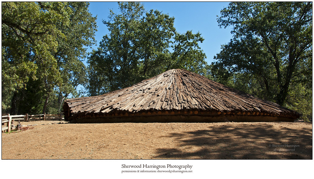
Miwok Ceremonial Roundhouse, 4 of 6

Miwok Ceremonial Roundhouse, 5 of 6
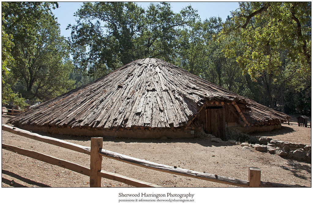
Miwok Ceremonial Roundhouse, 6 of 6
Hanford House

Outside the Cheese Shop
From Sutter Creek***
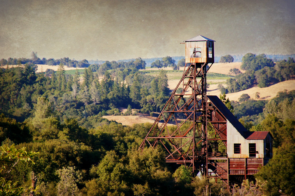
Kennedy Goldmine Headframe
CRW_7990-54
Outside Amador City
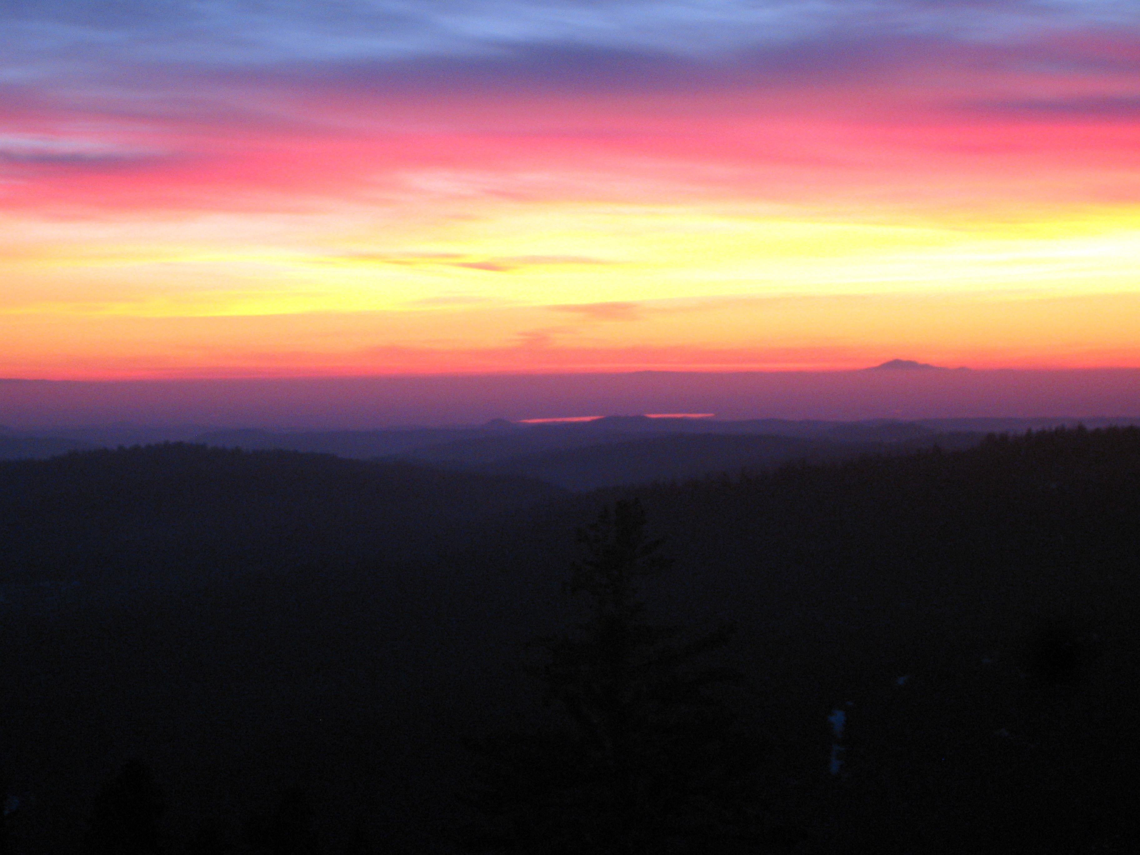
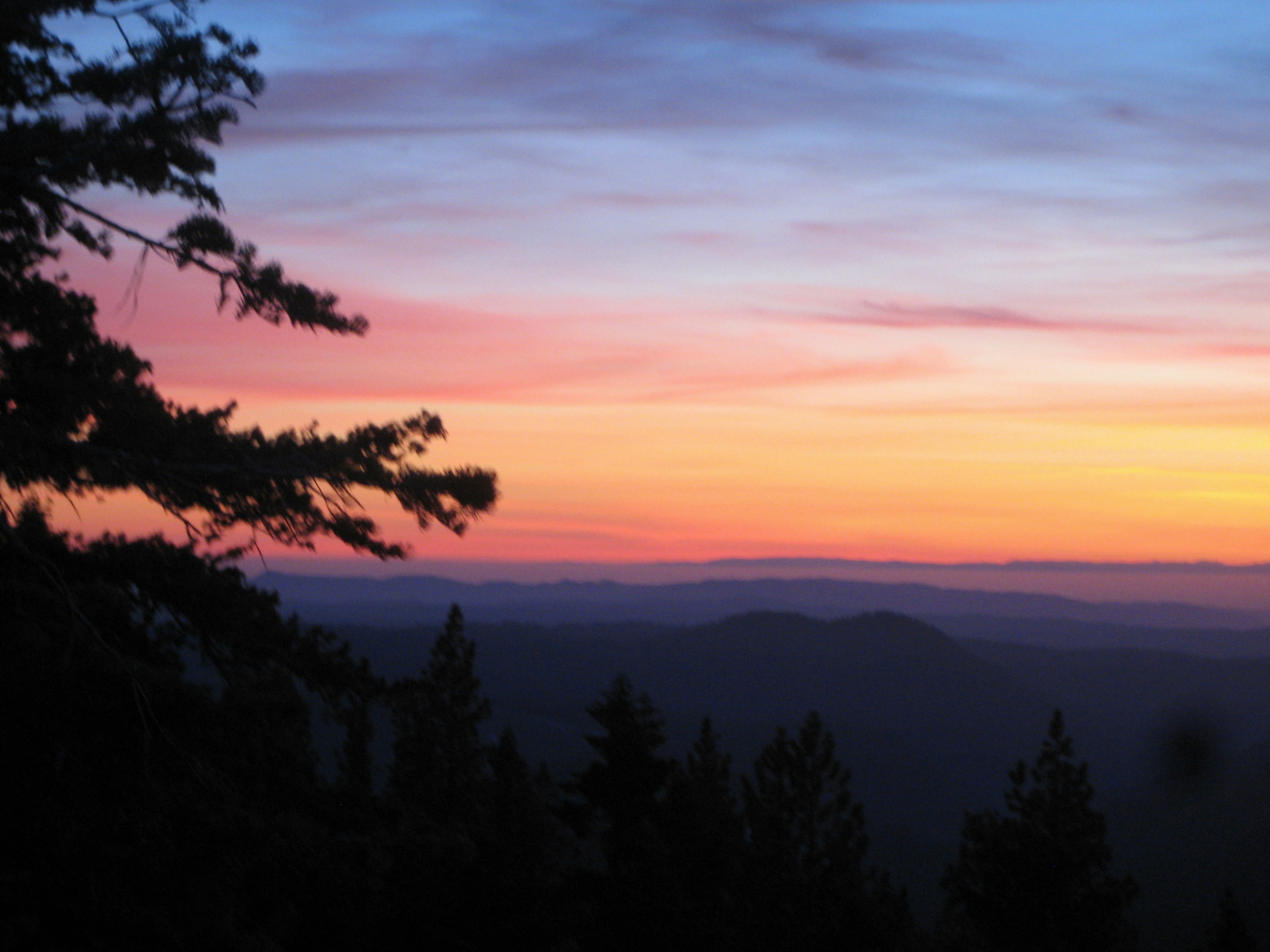
Painted Sky

Camera Roll-1234
Living Color
Camera Roll-1234

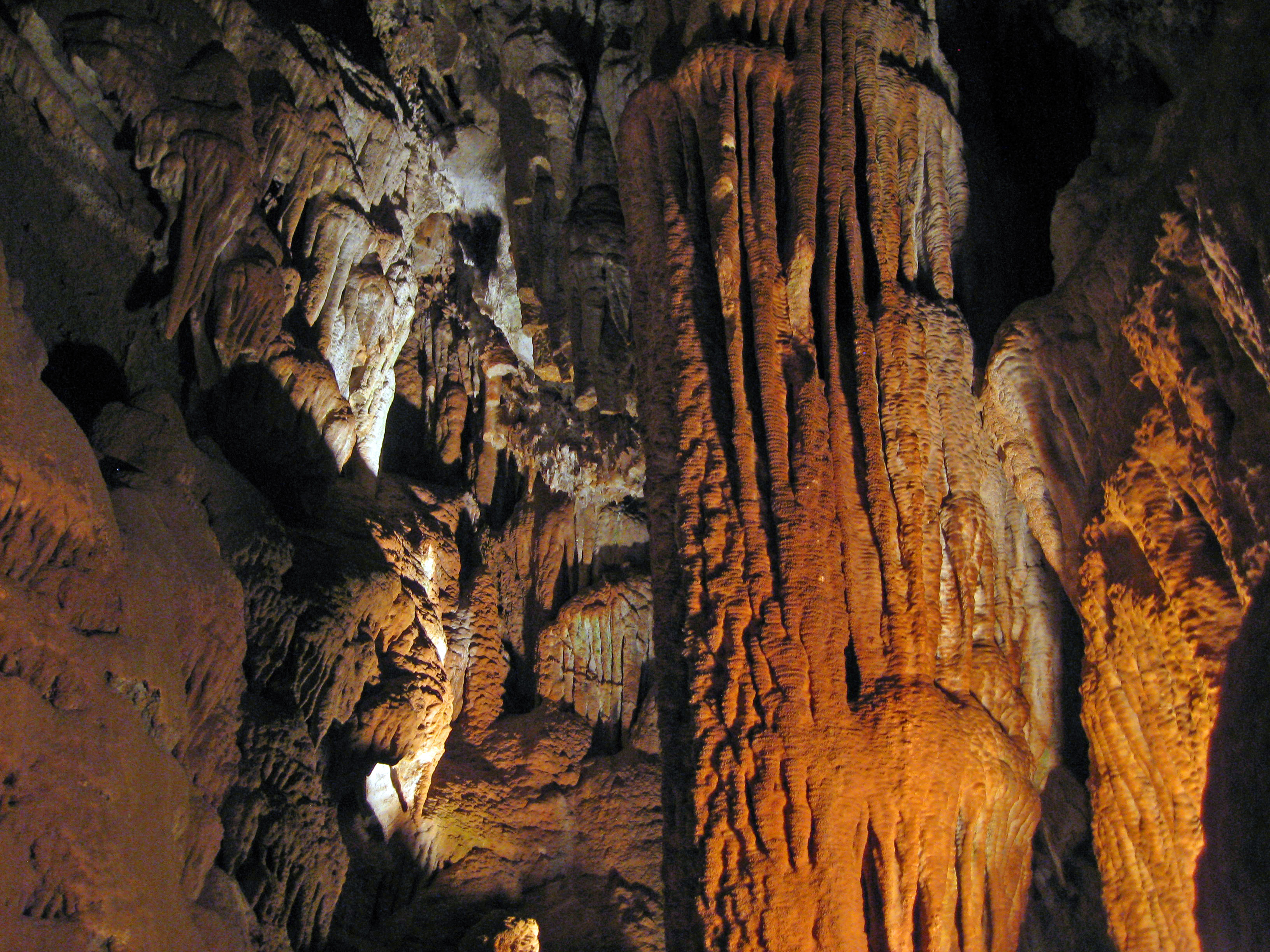
Black Chasm Cavern, Volcano, California.
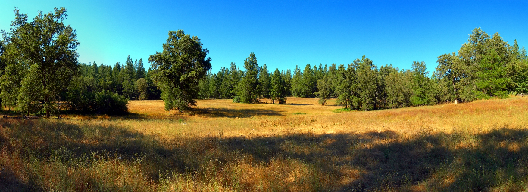
At the Edge of the Meadow

Red Sun
ATR20130218-1649-195
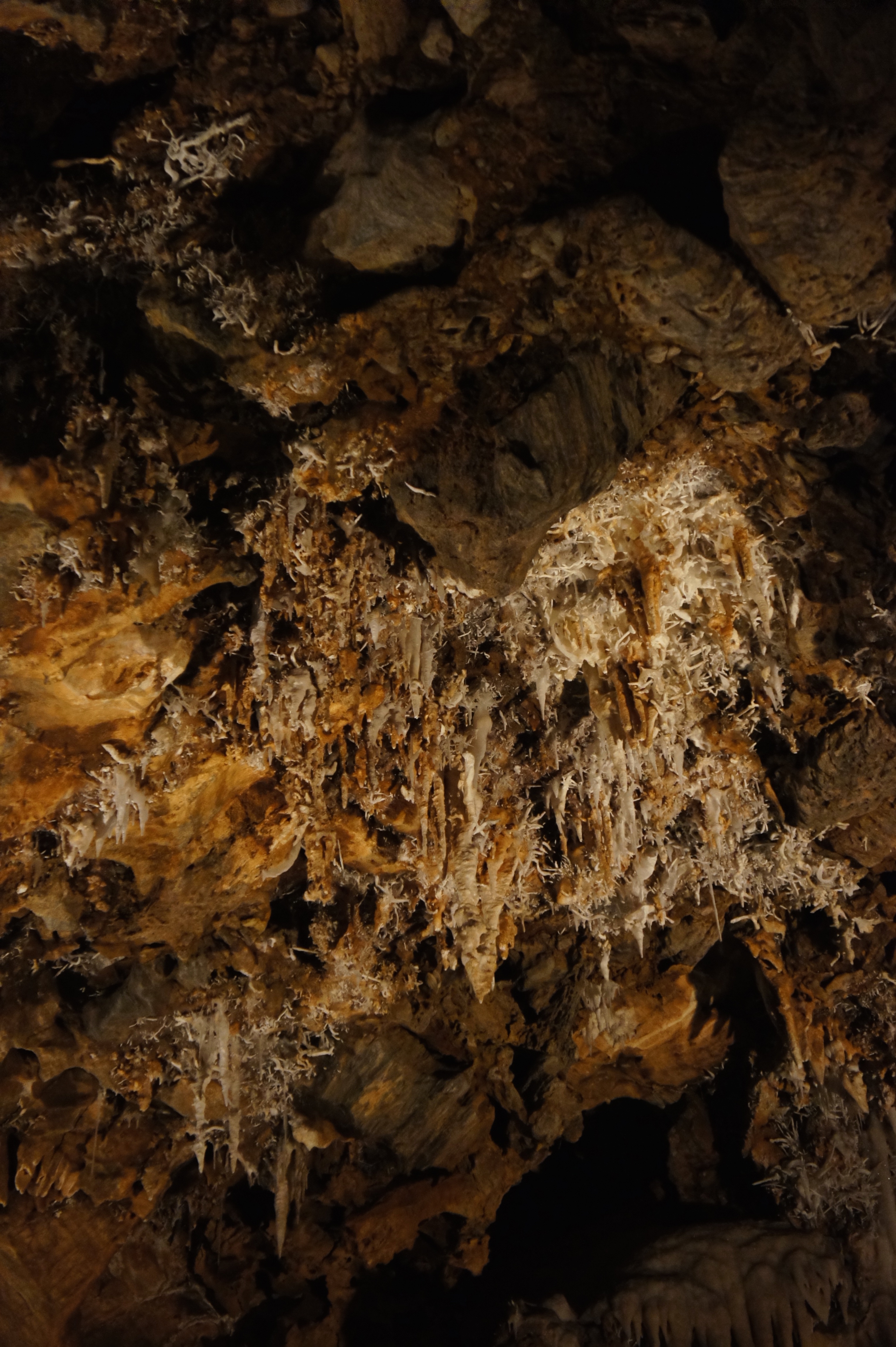
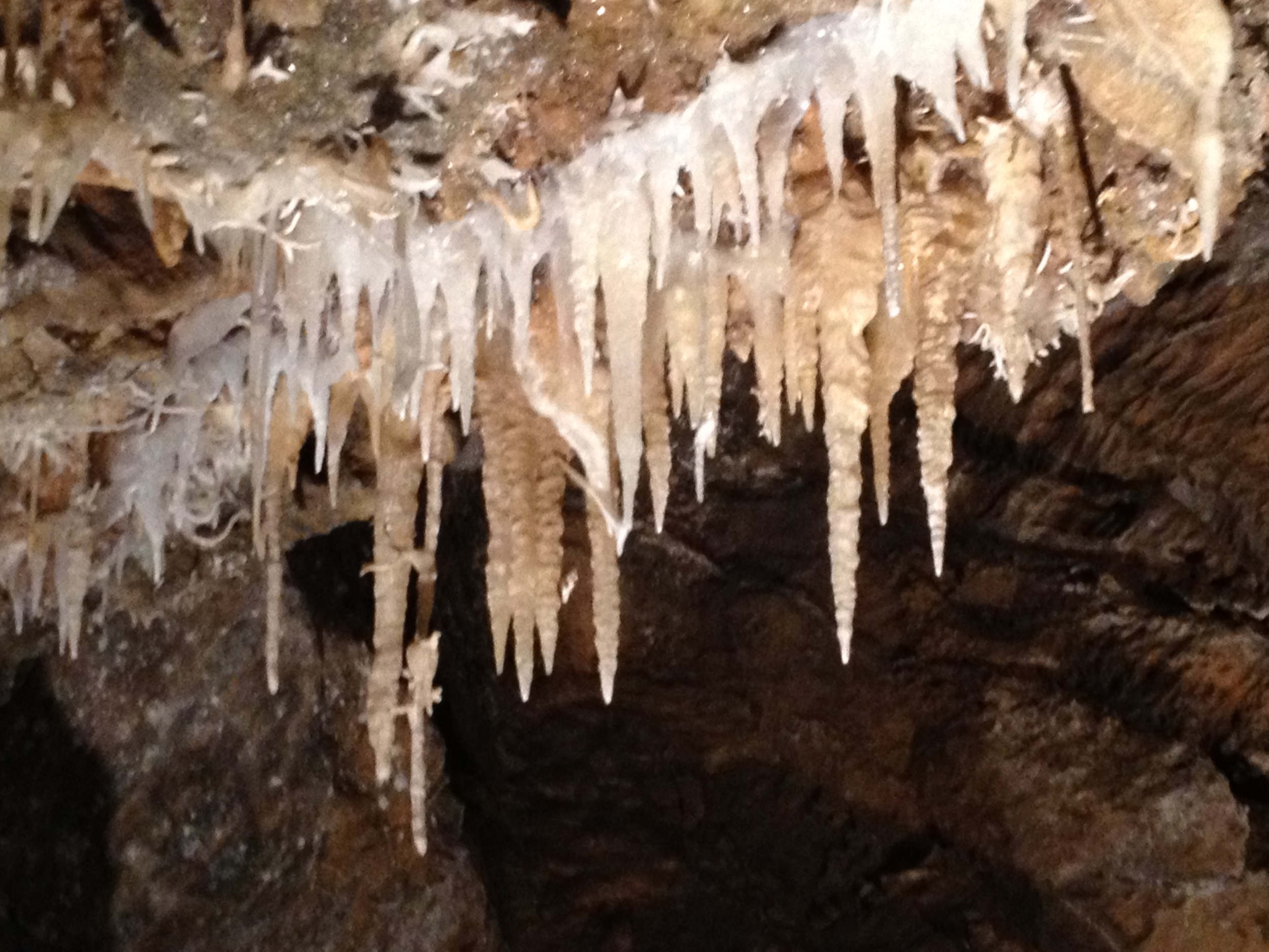
Black Chasm Caves

_8120111.NEF

Camera Roll-1243
Camera Roll-1243
Amador winetasting Nov 2012 156
Walking the pups! So #pretty! Great weather! #mountains

Amador winetasting Nov 2012 73
Camera Roll-1245
CRW_8006-61
Topographic Map of Mella Drive, Mella Dr, Volcano, CA, USA
Find elevation by address:

Places near Mella Drive, Mella Dr, Volcano, CA, USA:
19625 Hale Rd
Shake Ridge Road & Mella Drive
19870 Shake Ridge Rd
Shake Ridge Road & Charleston Road
19445 Charleston Rd
20325 Shake Ridge Rd
Shake Ridge Road
19150 Charleston Ct
19124 Charleston Ct
19382 Laurel Canyon Rd
19230 Black Oak Dr
19000 View Cir
18420 Ponderosa Annex Rd
View Circle Road
Cedar Pines Drive
19540 W Mitchell Mine Rd
17575 Rams Horn Grade Road
18351 View Cir
18401 View Cir
Wildlife Trail
Recent Searches:
- Elevation of Elwyn Dr, Roanoke Rapids, NC, USA
- Elevation of Congressional Dr, Stevensville, MD, USA
- Elevation of Bellview Rd, McLean, VA, USA
- Elevation of Stage Island Rd, Chatham, MA, USA
- Elevation of Shibuya Scramble Crossing, 21 Udagawacho, Shibuya City, Tokyo -, Japan
- Elevation of Jadagoniai, Kaunas District Municipality, Lithuania
- Elevation of Pagonija rock, Kranto 7-oji g. 8"N, Kaunas, Lithuania
- Elevation of Co Rd 87, Jamestown, CO, USA
- Elevation of Tenjo, Cundinamarca, Colombia
- Elevation of Côte-des-Neiges, Montreal, QC H4A 3J6, Canada