Elevation of Shake Ridge Rd, Volcano, CA, USA
Location: United States > California > Amador County > Volcano >
Longitude: -120.65521
Latitude: 38.461409
Elevation: 813m / 2667feet
Barometric Pressure: 92KPa
Elevation Map:
Satellite Map:
Related Photos:

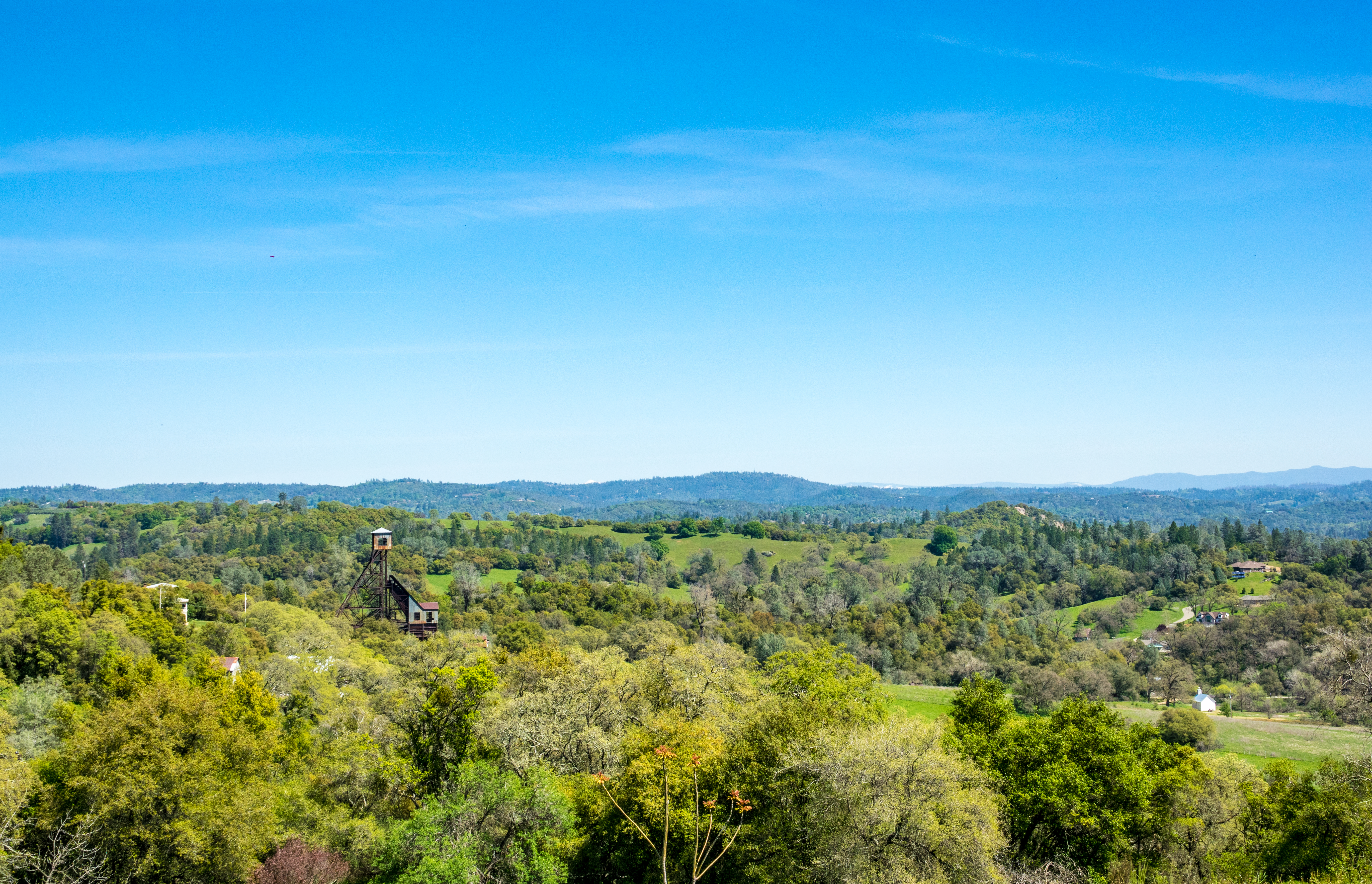
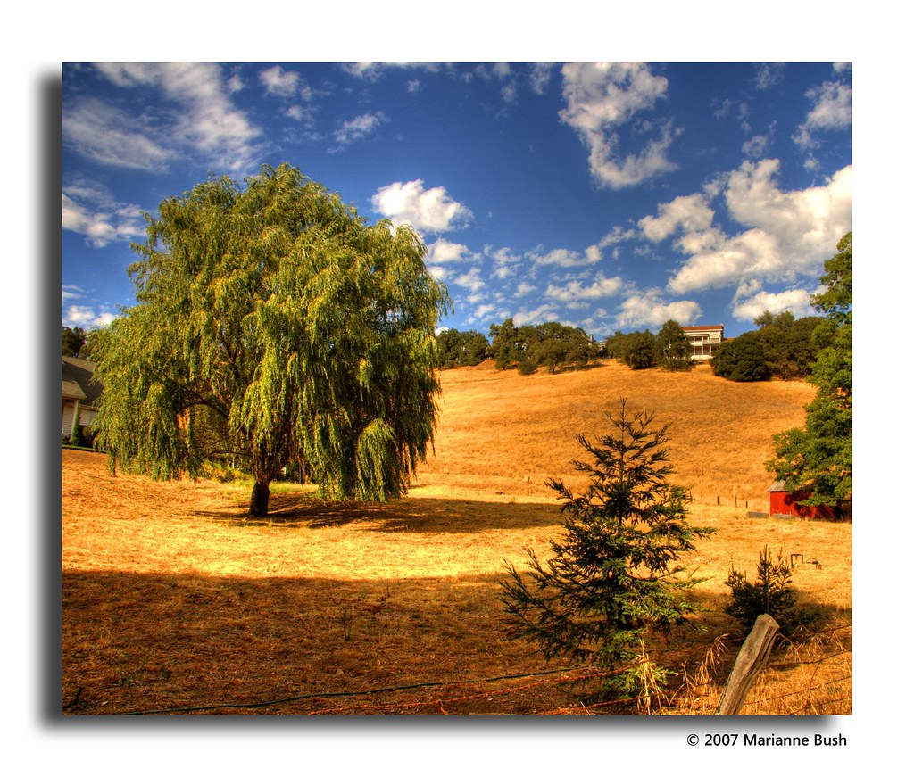
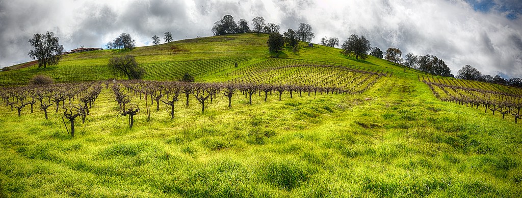
Sierra Nevada Foothills HDR

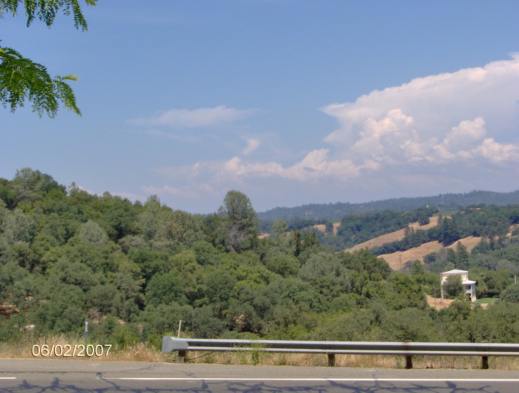
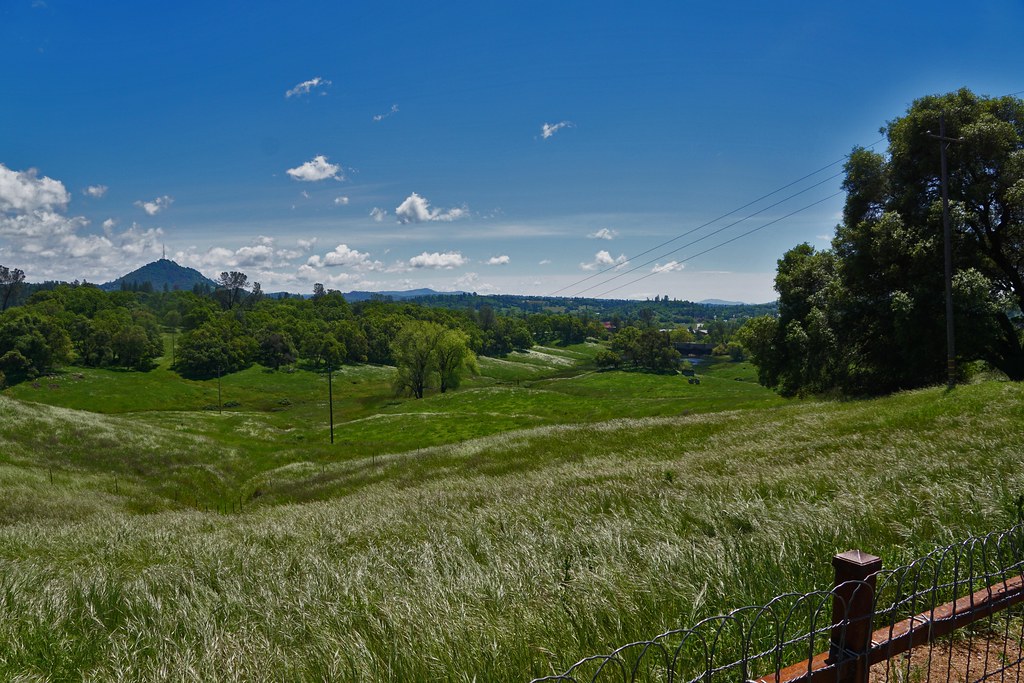
Looking east towards the mountains
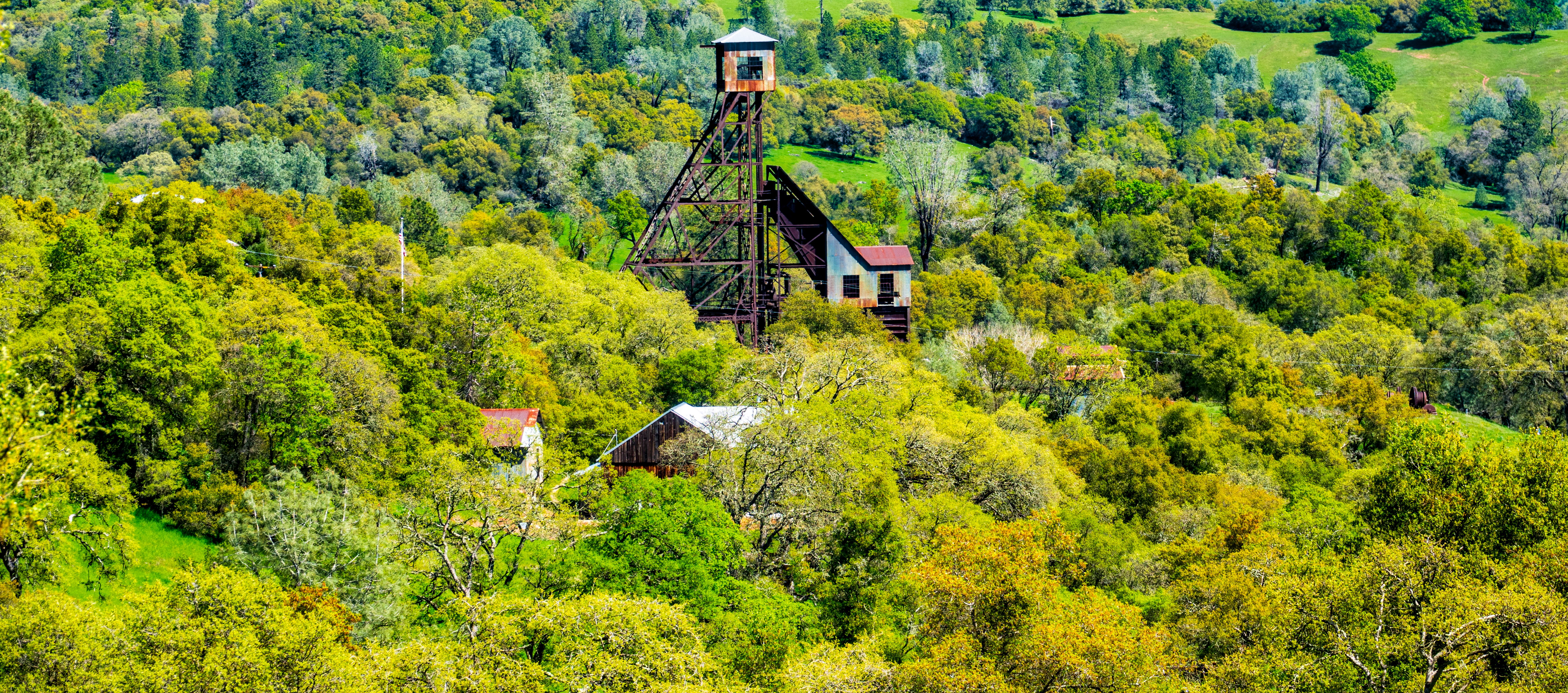
Old Kennedy Gold Mine Equipment HDR - Happy Sliders Sunday
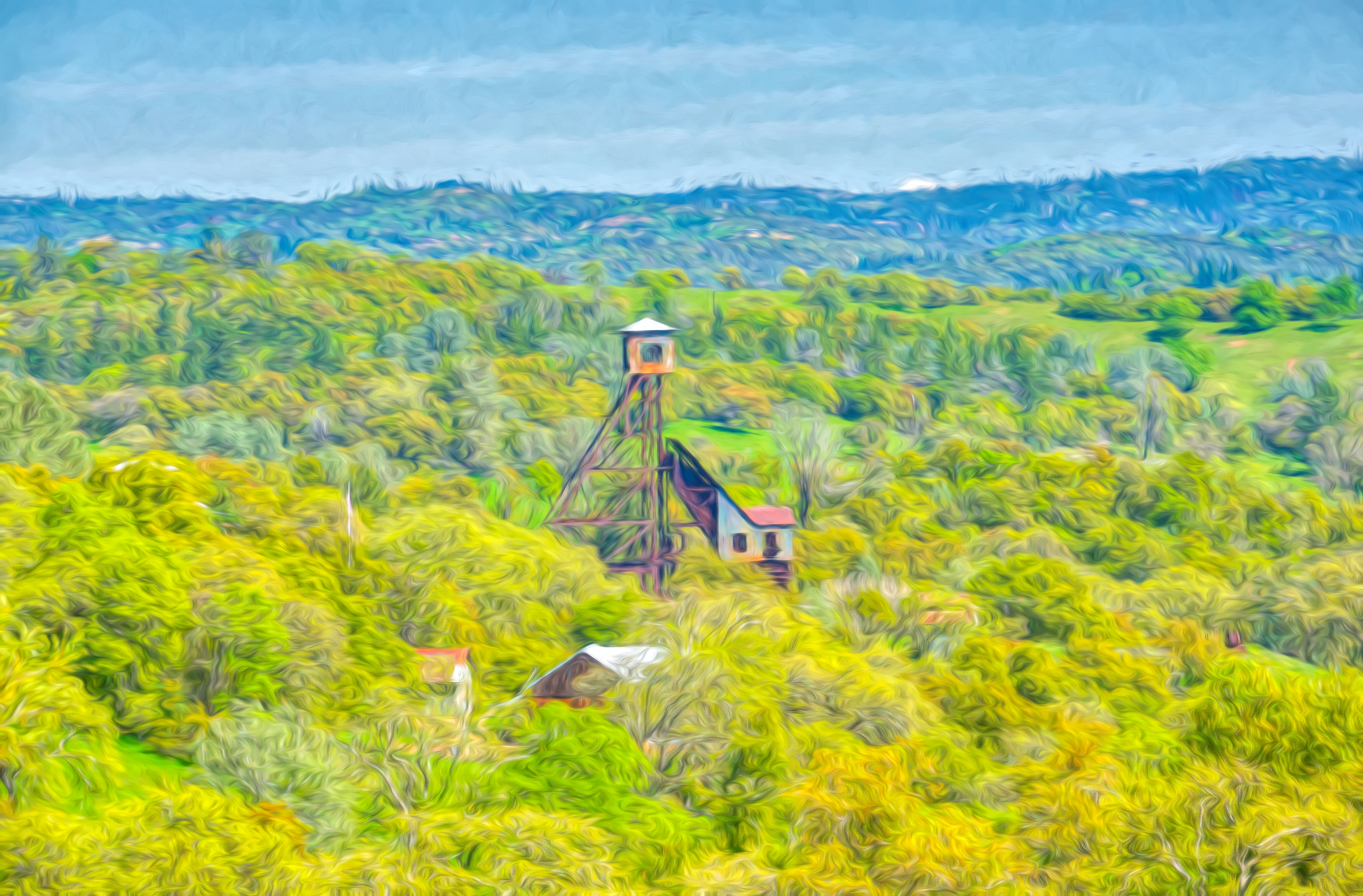
Digital watercolor Old Kennedy Gold Mine Equipment
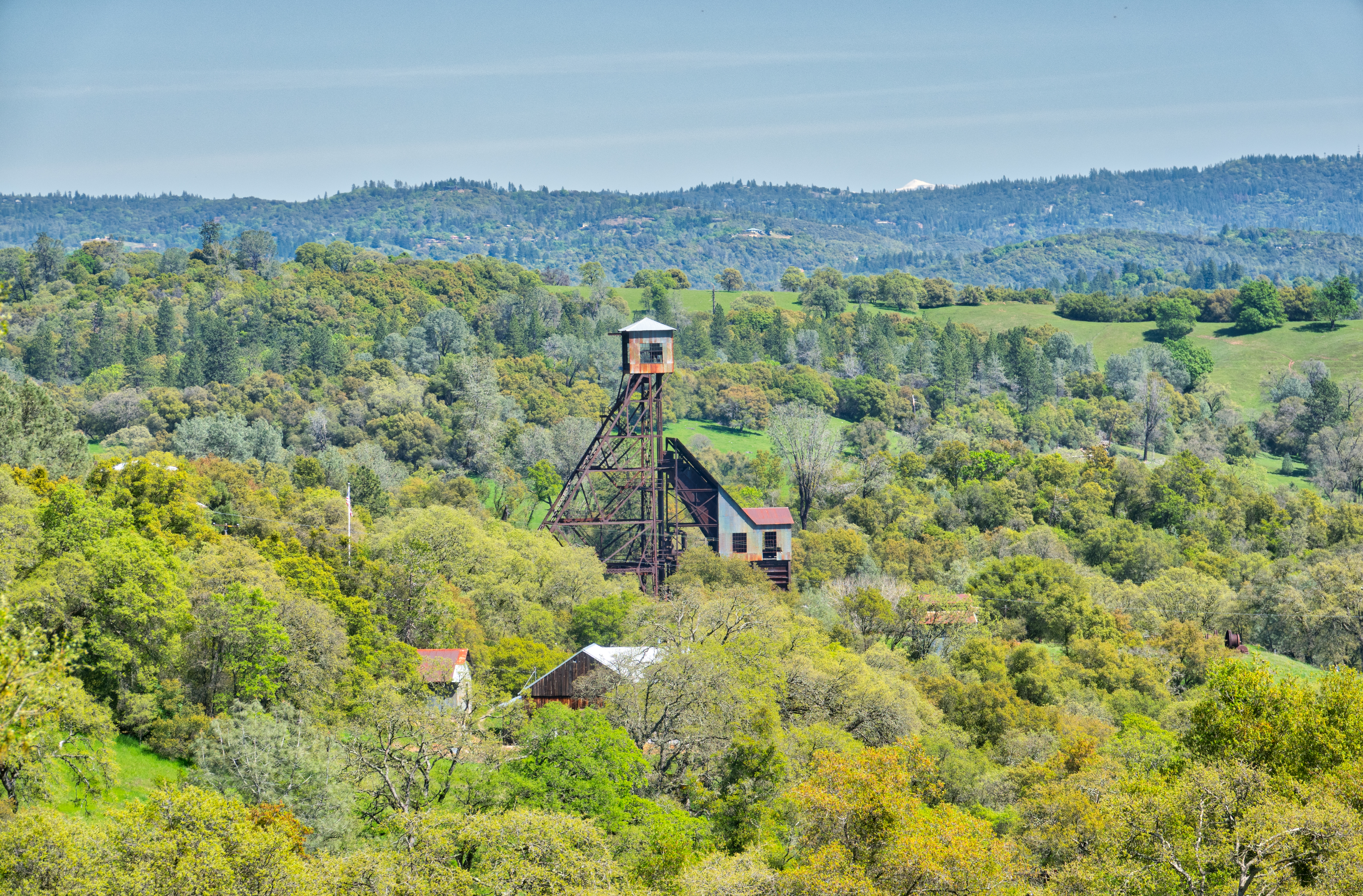
Old Kennedy Gold Mine Equipment HDR
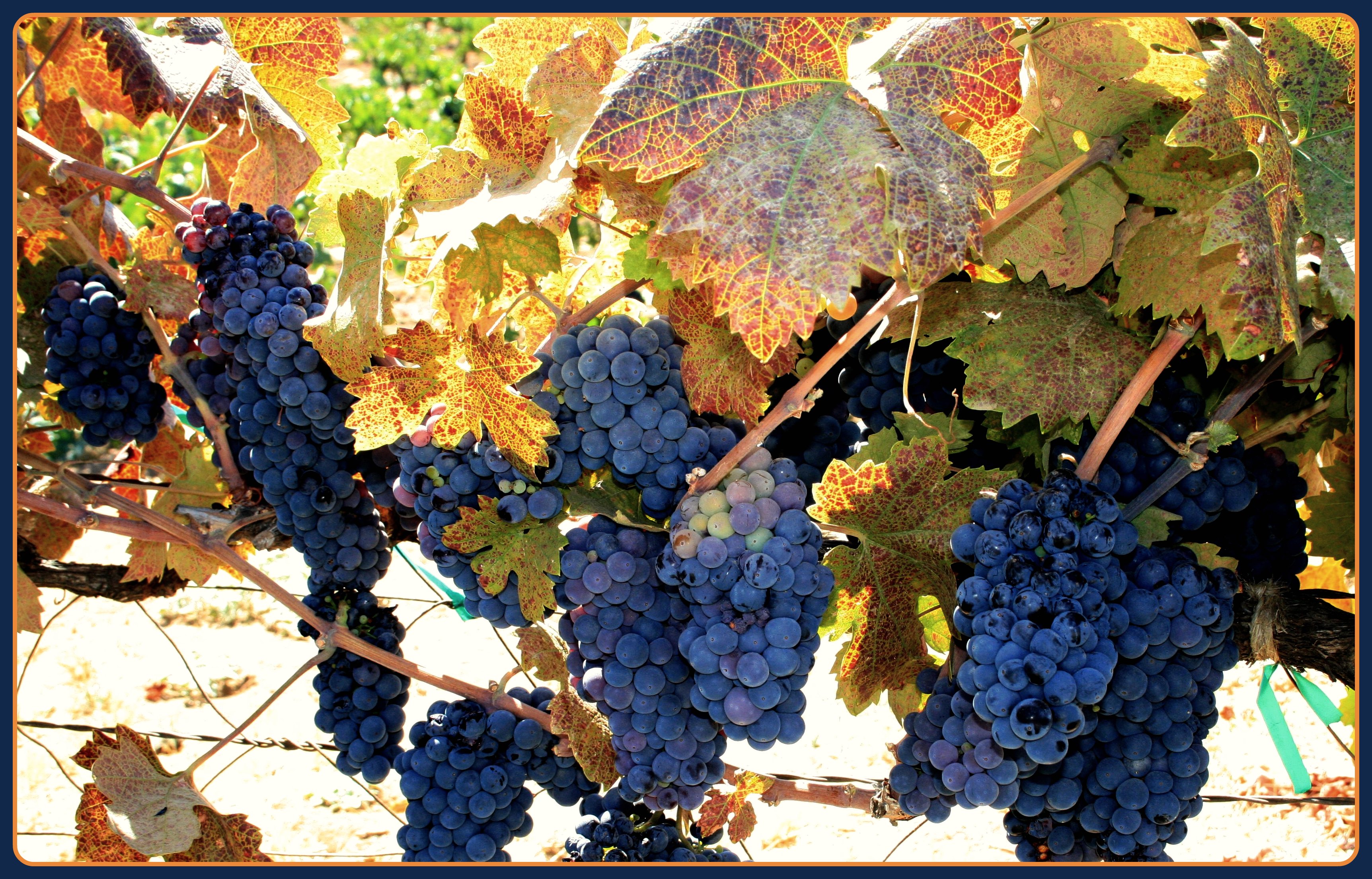
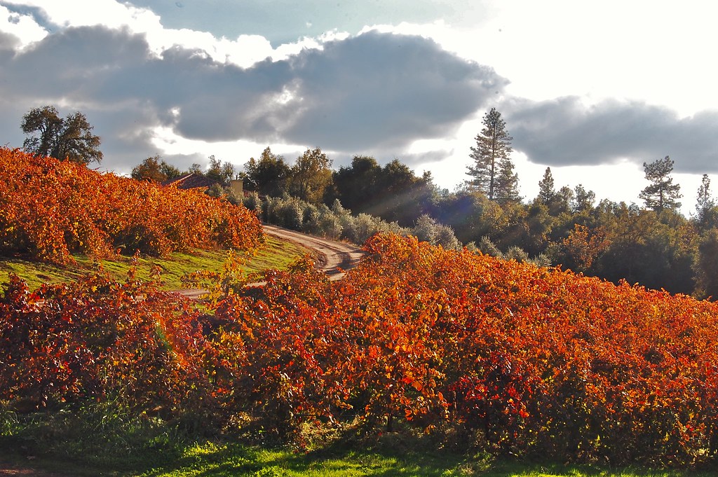
The Harvest!
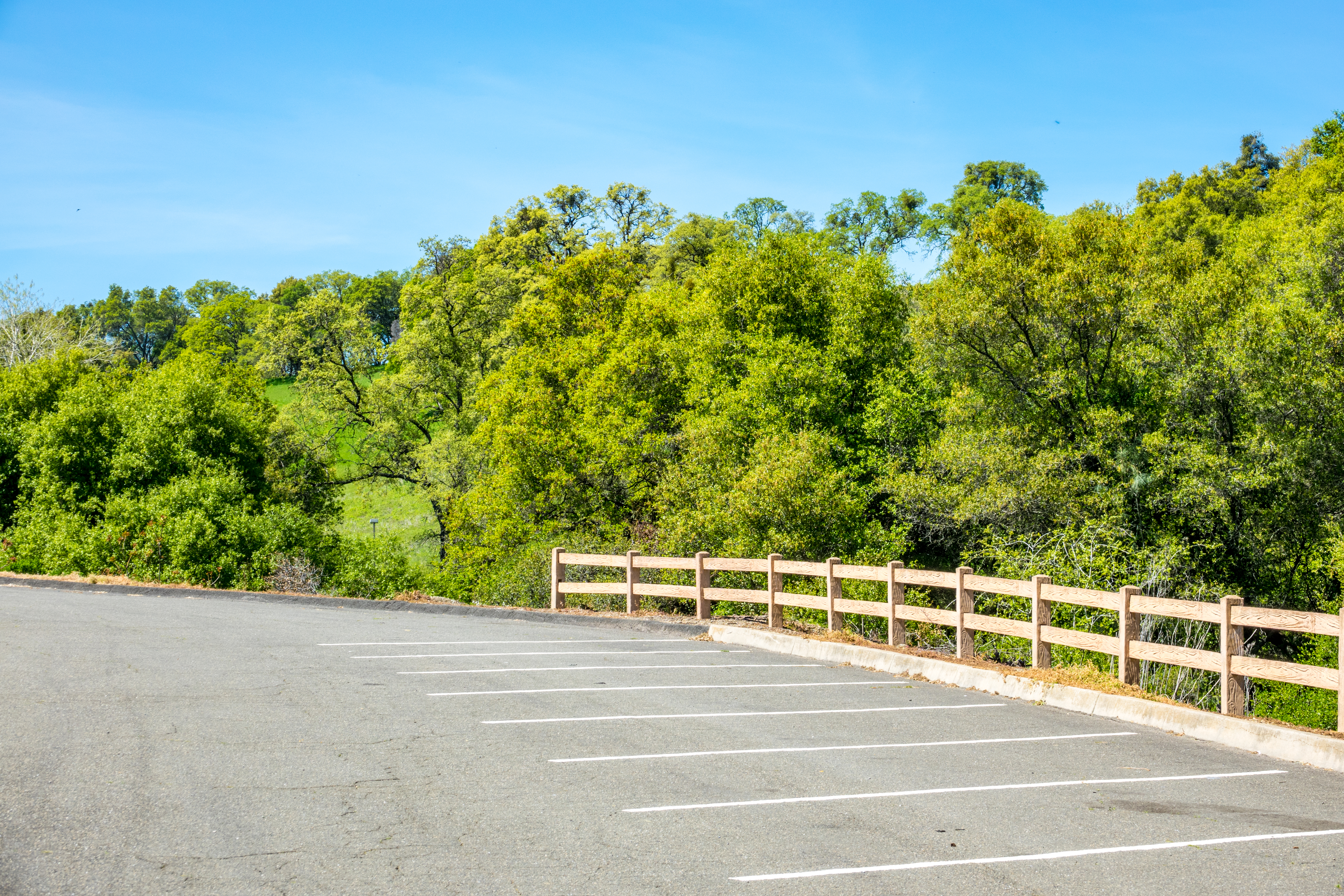
Happy Fence Friday
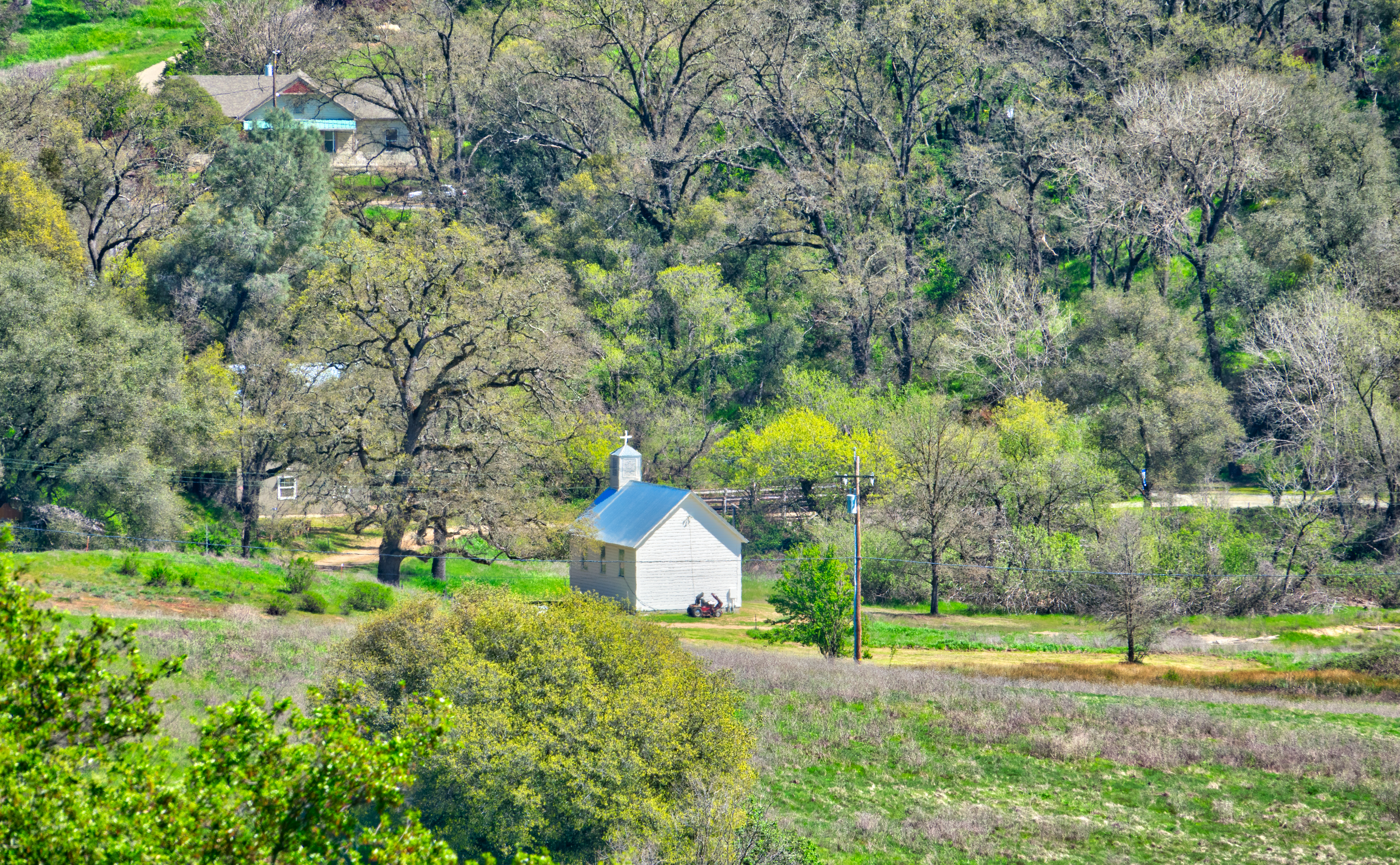
Little Church in the Sierra Nevada Foothills HDR
Looking east towards the mountains
This is the view from my grandpa's front porch. I wouldn't mind waking up to this every morning. #photooftheday
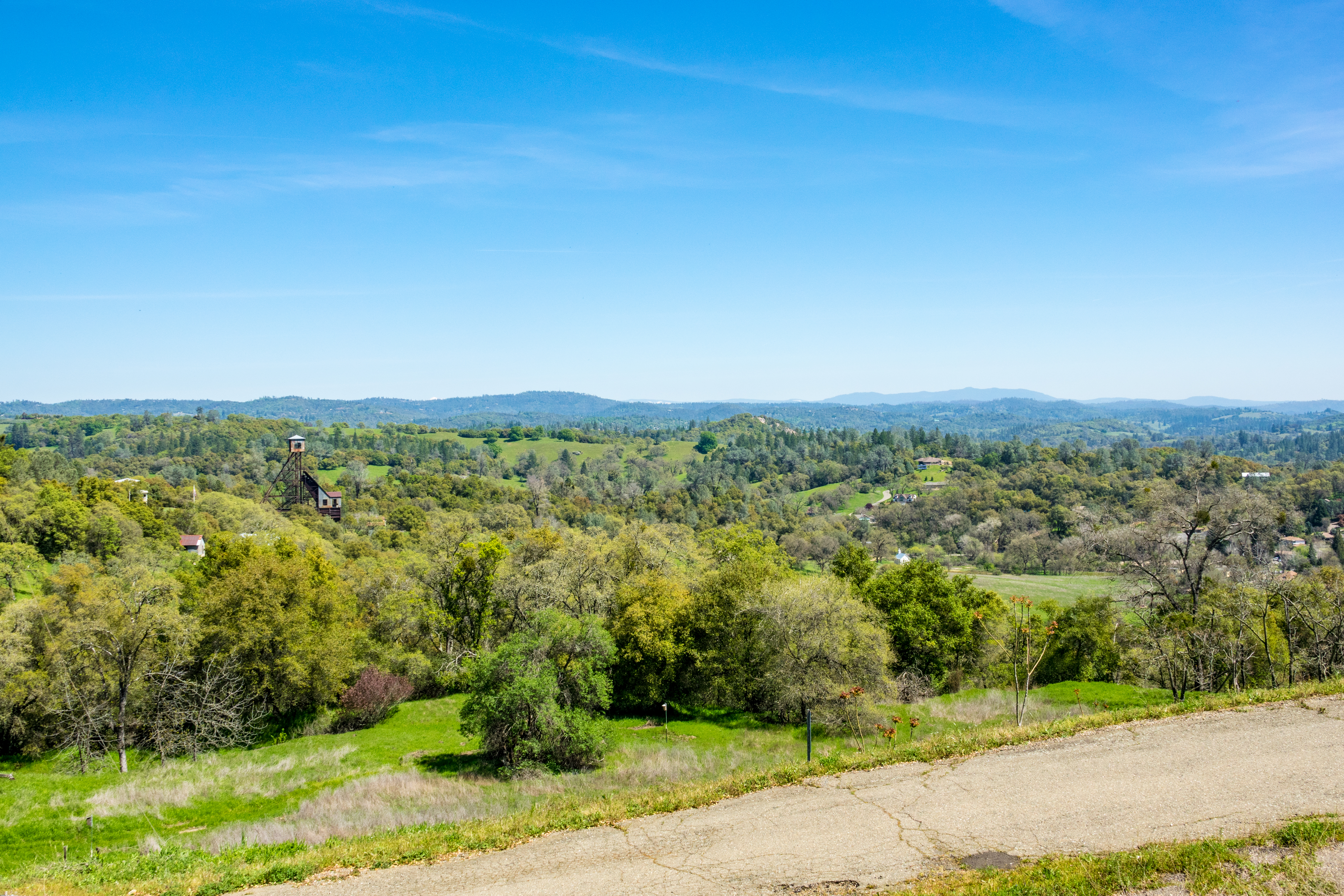
Looking east towards the mountains

Indian Grinding Rock
Patio views Il Gioiello tasting room

St. Bernard's Church

Sobon Estates view
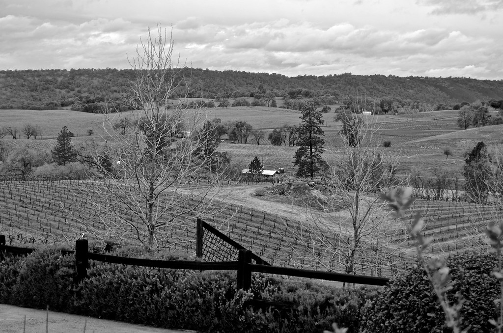
view, Helwig Winery, Amador County,
Argonaut Mine
Sylvan View from Bedroom
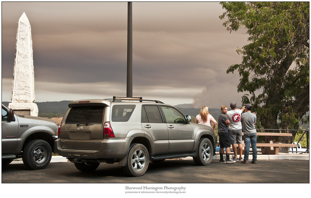
Watching Smoke

Miwok Ceremonial Roundhouse, 5 of 6
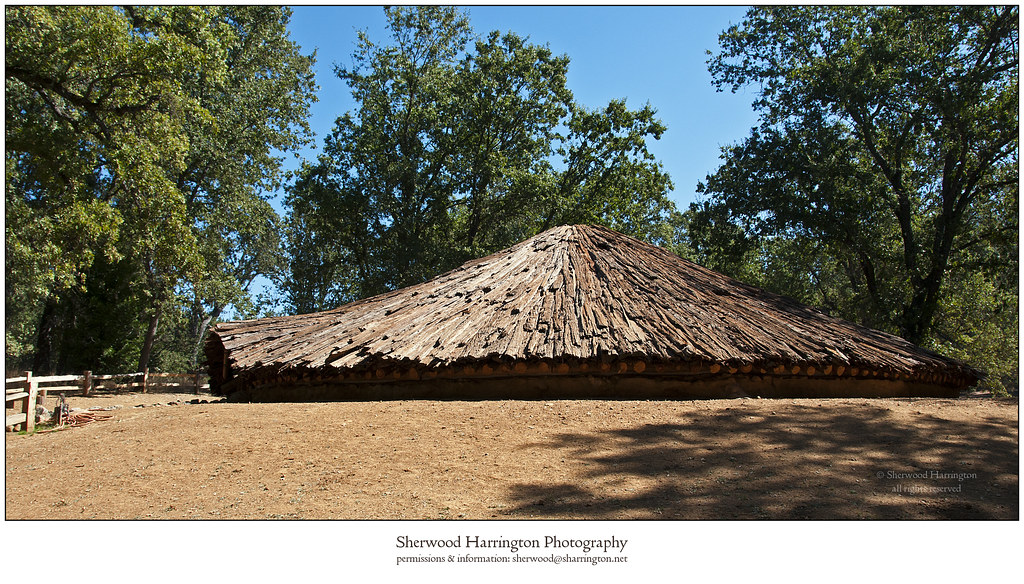
Miwok Ceremonial Roundhouse, 4 of 6

The Veins of an Oak at Sunset - Sutter Creek, CA

Hard To Choose
From Sutter Creek***
2009 Cali Road Trip - 172
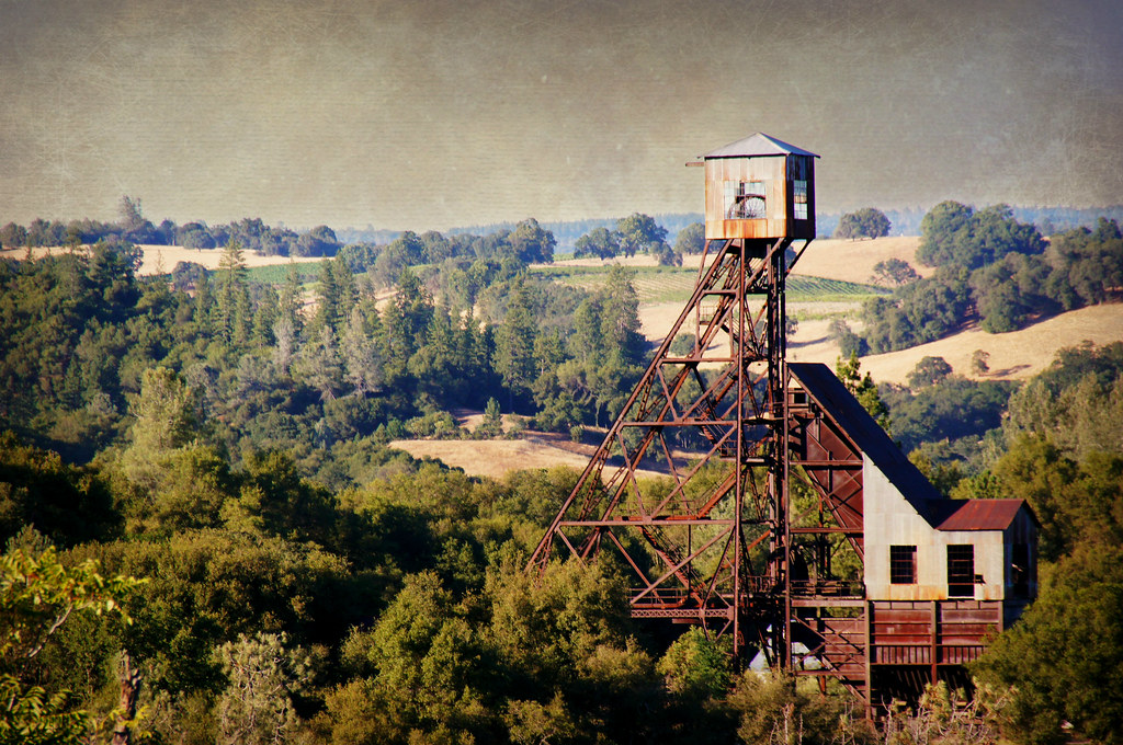
Kennedy Goldmine Headframe
CRW_7990-54
CRW_7973-44
Shenendoah Valley
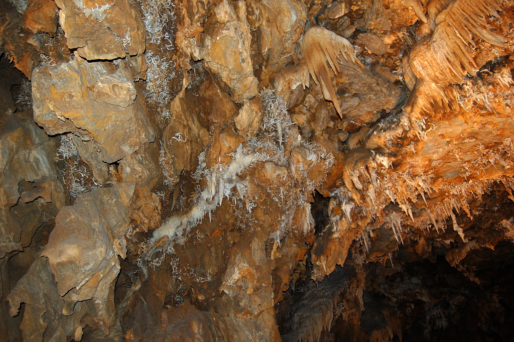
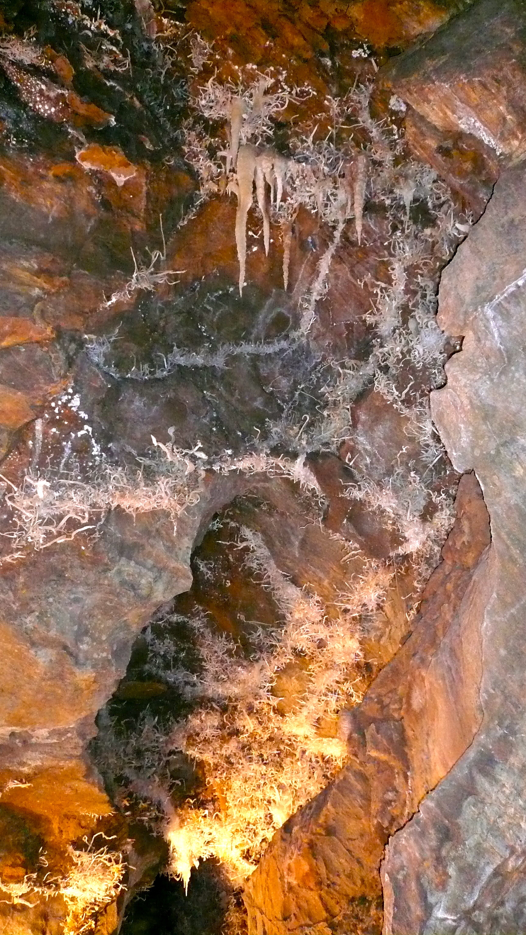
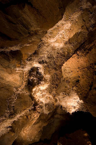
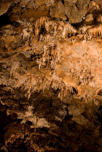
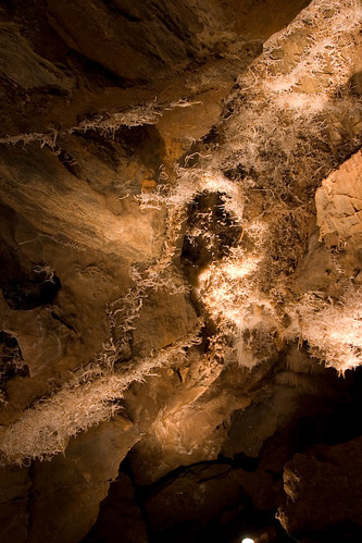
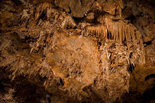
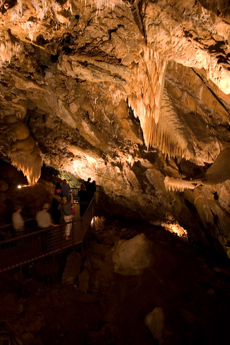
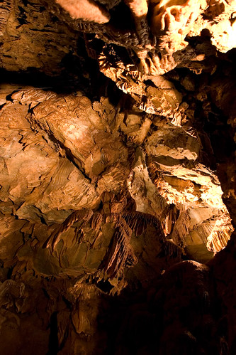
Black Chasm
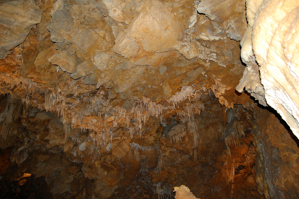
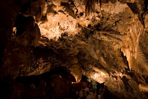
Black Chasm
CRW_7967-42
Kennedy Mine Tailing Wheel Park
CRW_7991-55
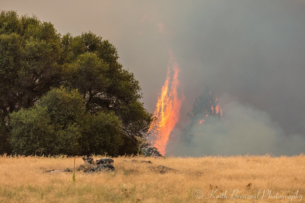
Sand Fire July 2014 © Keith Breazeal-15
CRW_7961-38
CRW_7975-45
CRW_7959-37
CRW_7935-22
Sutter Gold Mine
Topographic Map of Shake Ridge Rd, Volcano, CA, USA
Find elevation by address:

Places near Shake Ridge Rd, Volcano, CA, USA:
Shake Ridge Road & Mella Drive
Shake Ridge Road & Charleston Road
19445 Charleston Rd
19625 Hale Rd
Mella Drive
20325 Shake Ridge Rd
Shake Ridge Road
19150 Charleston Ct
19124 Charleston Ct
19382 Laurel Canyon Rd
17575 Rams Horn Grade Road
Saint Bernards Catholic Church
Volcano Union Inn
Volcano
Volcano Country Store
Pine Grove Volcano Road & Sutter Creek Volcano Road
United States Postal Service
Consolation St, Volcano, CA, USA
St George Hotel
Rams Horn Grade Road & Shake Ridge Road
Recent Searches:
- Elevation of Elwyn Dr, Roanoke Rapids, NC, USA
- Elevation of Congressional Dr, Stevensville, MD, USA
- Elevation of Bellview Rd, McLean, VA, USA
- Elevation of Stage Island Rd, Chatham, MA, USA
- Elevation of Shibuya Scramble Crossing, 21 Udagawacho, Shibuya City, Tokyo -, Japan
- Elevation of Jadagoniai, Kaunas District Municipality, Lithuania
- Elevation of Pagonija rock, Kranto 7-oji g. 8"N, Kaunas, Lithuania
- Elevation of Co Rd 87, Jamestown, CO, USA
- Elevation of Tenjo, Cundinamarca, Colombia
- Elevation of Côte-des-Neiges, Montreal, QC H4A 3J6, Canada