Elevation of Shady Dale, GA, USA
Location: United States > Georgia > Jasper County >
Longitude: -83.590171
Latitude: 33.4006823
Elevation: 190m / 623feet
Barometric Pressure: 99KPa
Elevation Map:
Satellite Map:
Related Photos:
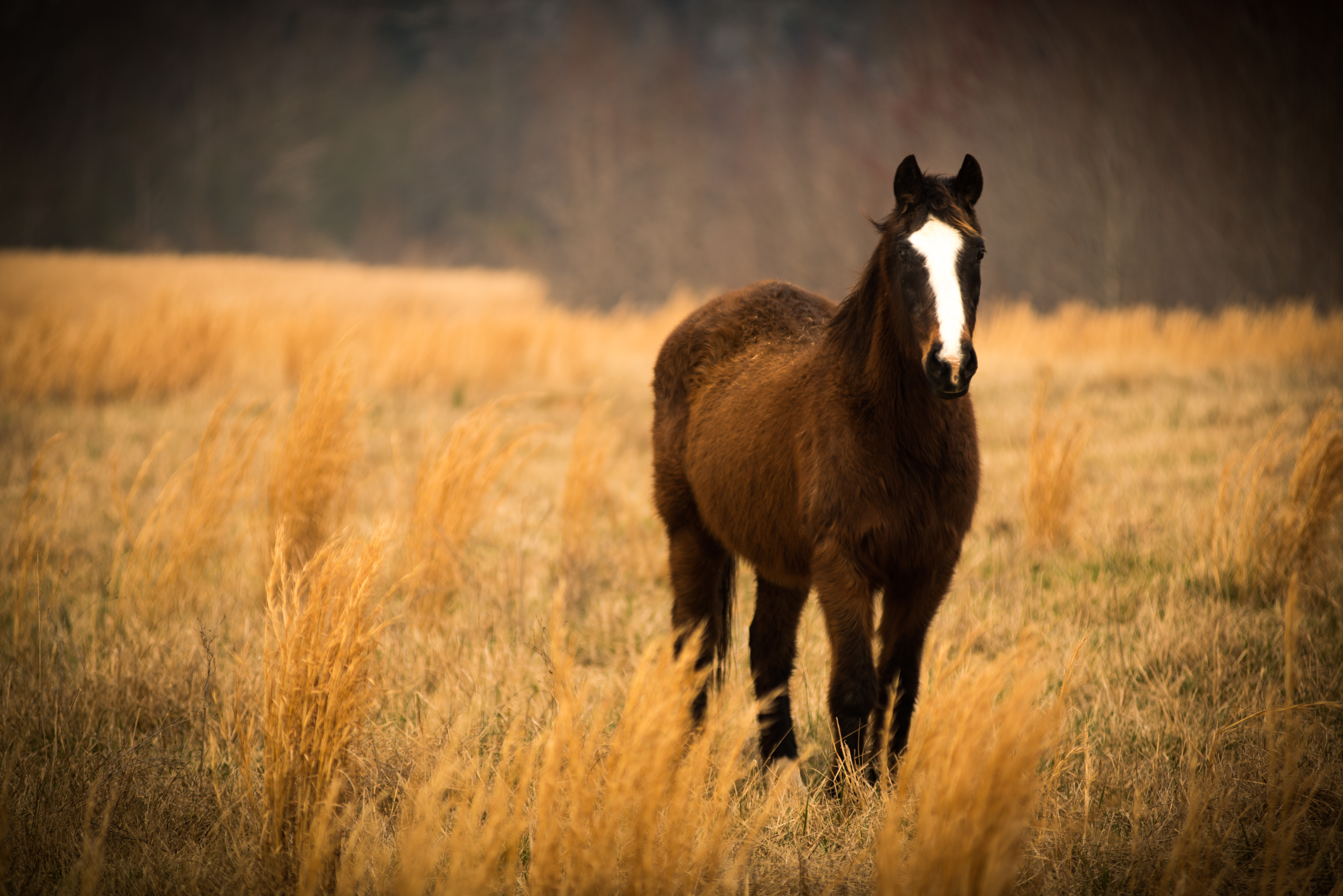
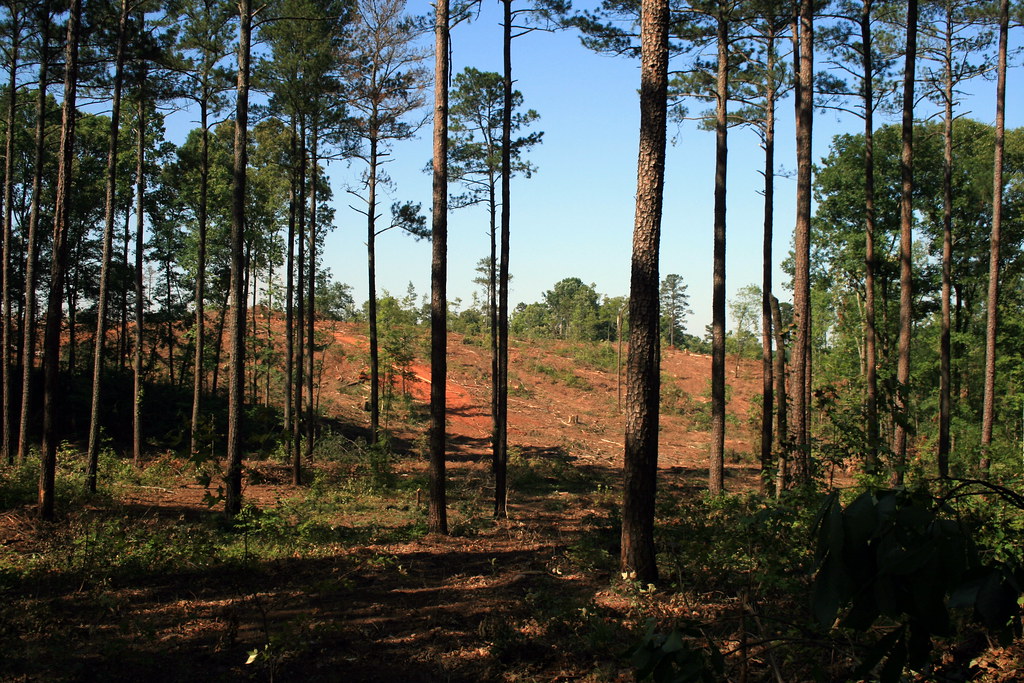
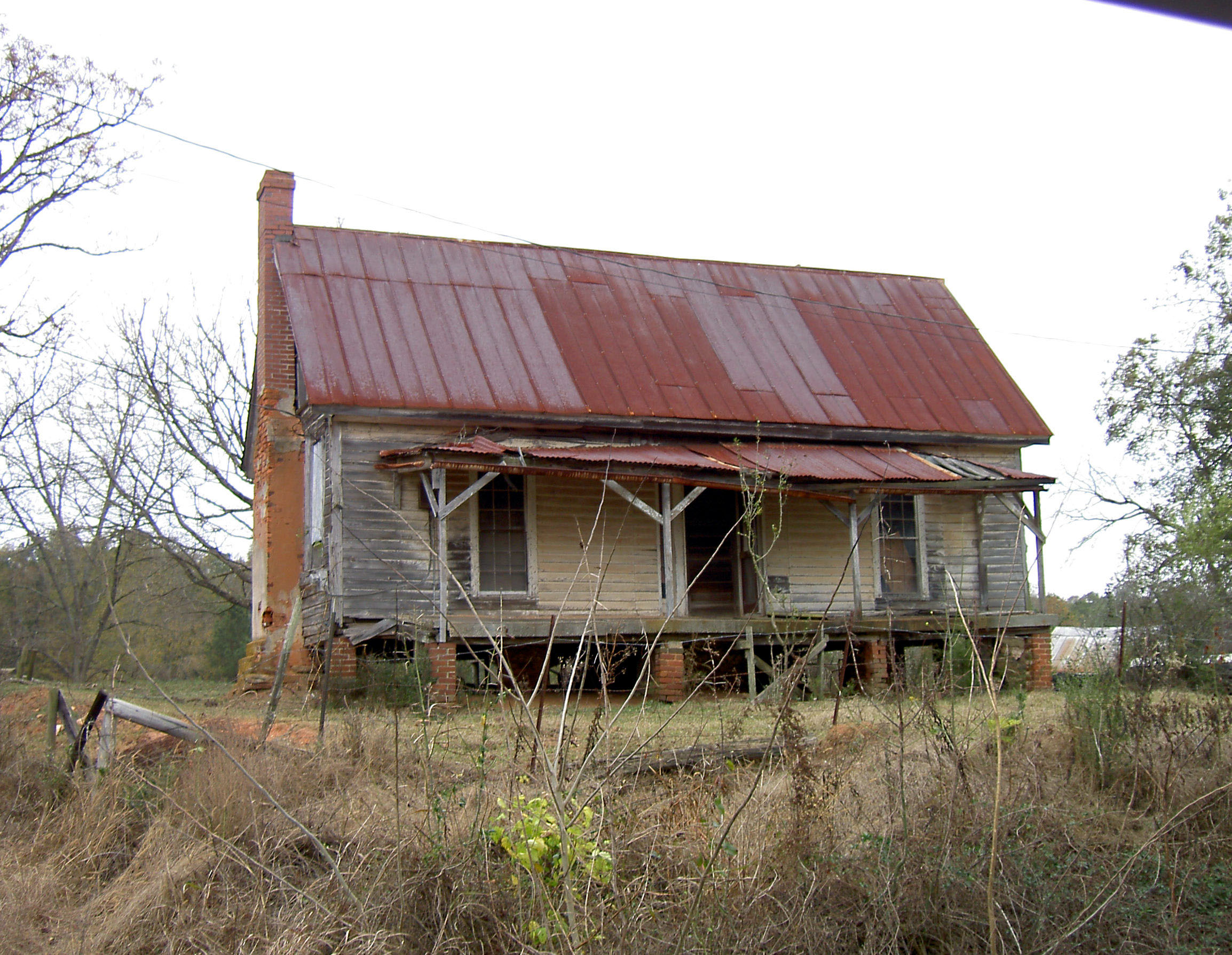
Georgia Countryside - 9/52 - Explored Mar 2, 2014, #7
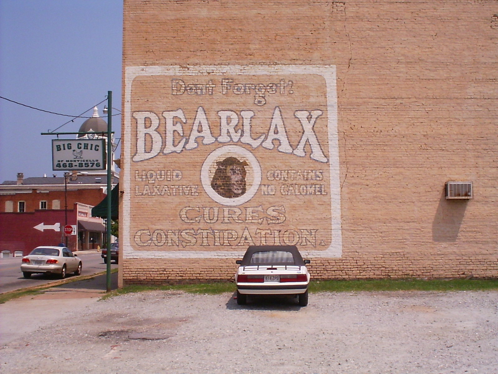
Bearlax Historic Wall Ad View 2
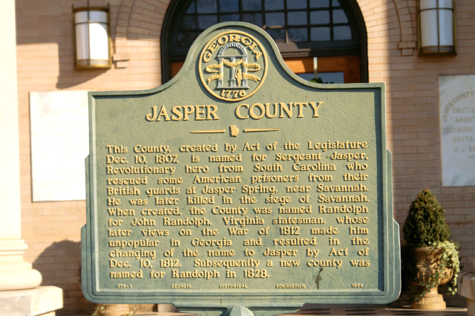
Jasper County GHM 070-1
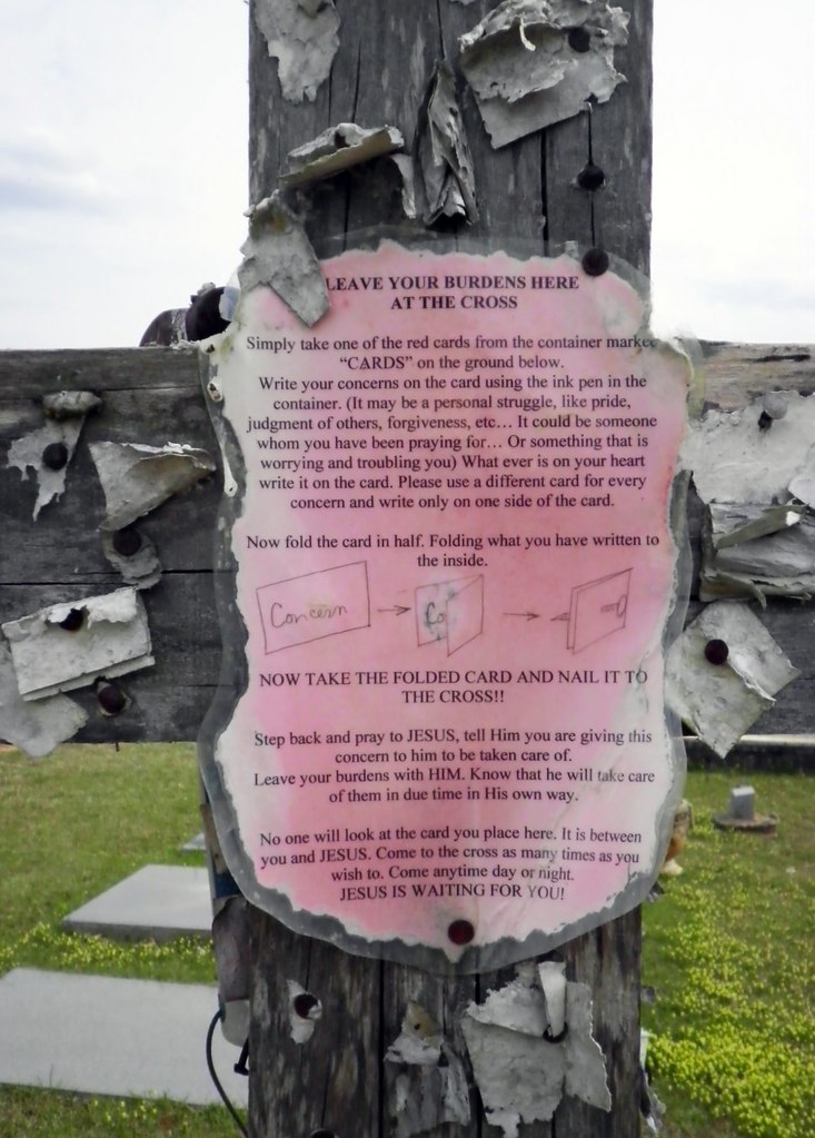
Closer View of the "Leave Your Burdens Here" Sign
Poles on the stump
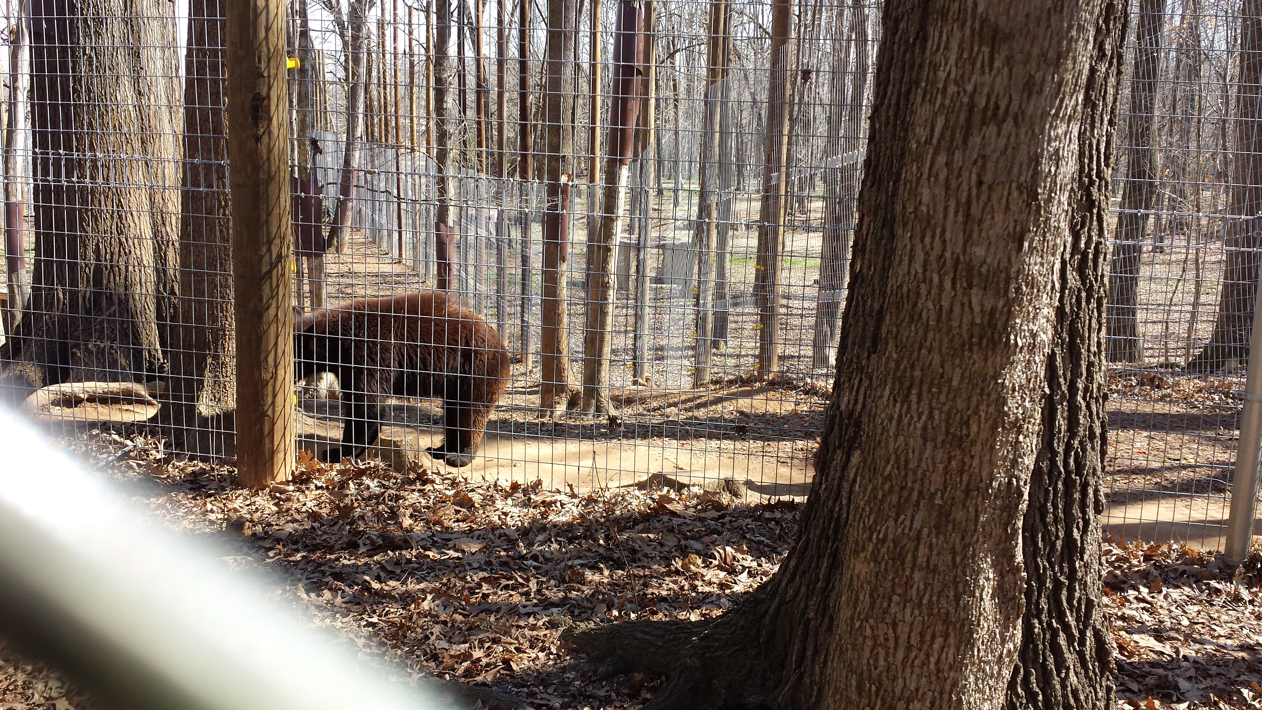
Valentine's Day 2015 - Noahs Ark Animal Sanctuary

Charles Elliott9
June 25--Charlie Elliott Wildlife Cntr.
_DSC7913_edited-1
Hwy 11 South

Charles Elliott6

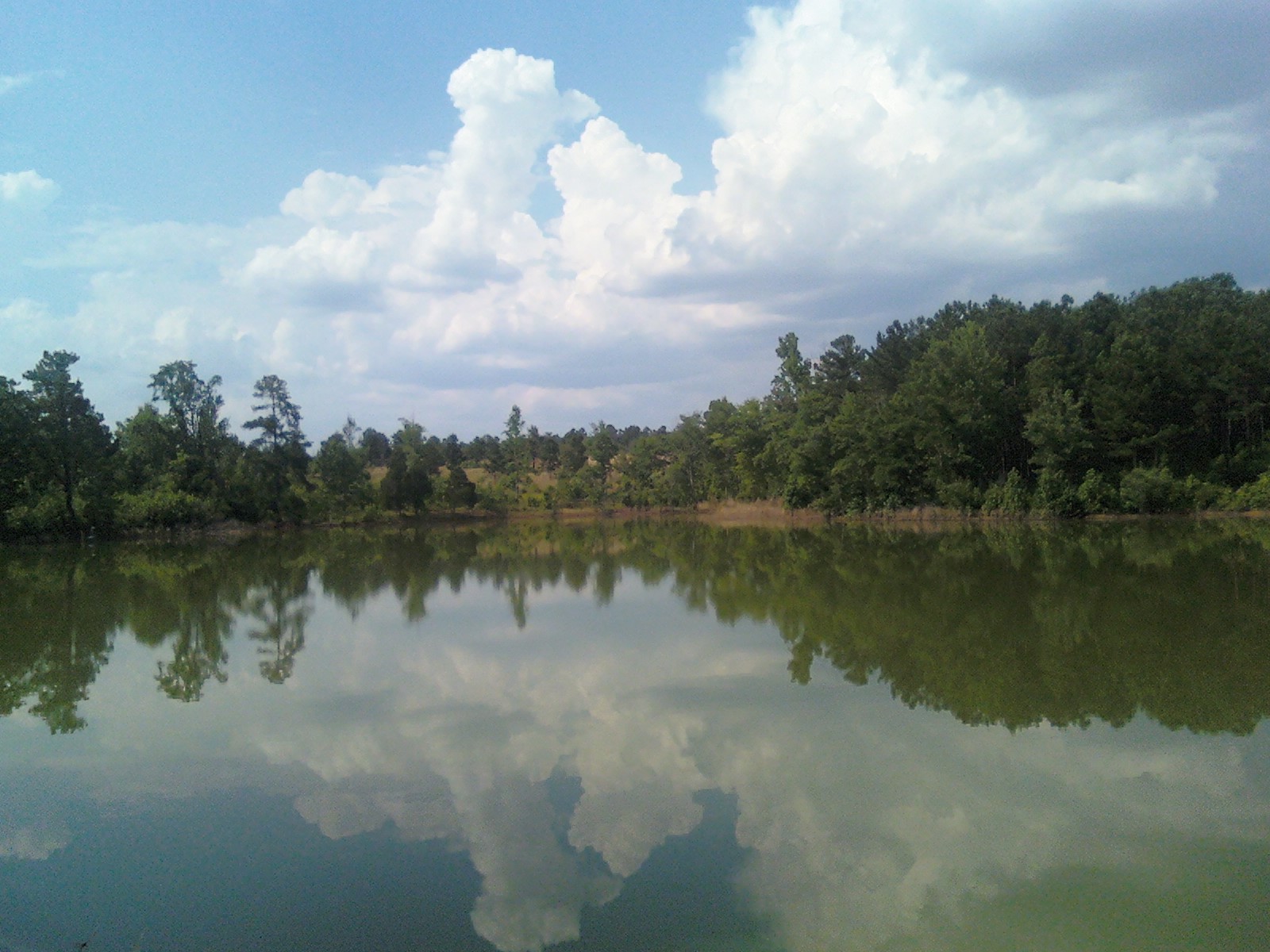
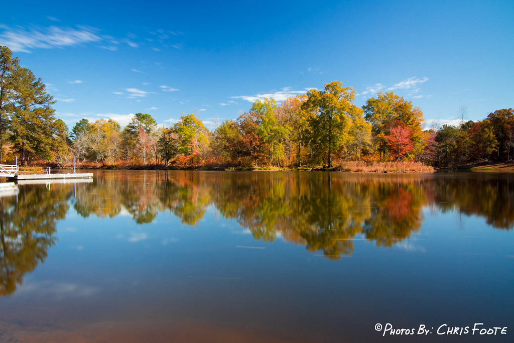
Fall Colors - Whitetail Pond
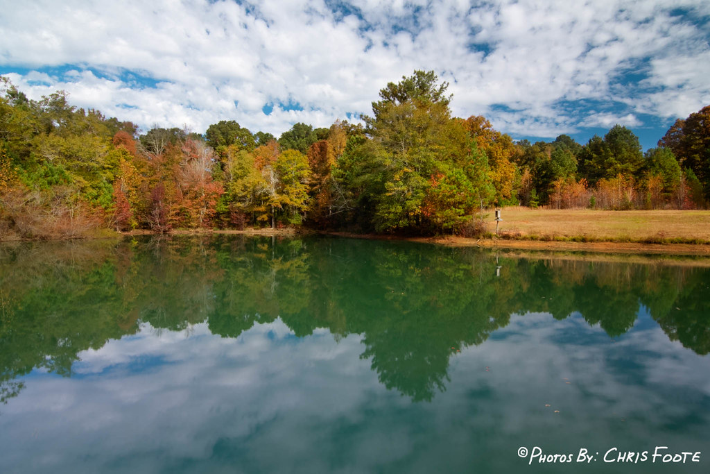
Fall Colors - Dairy Pond

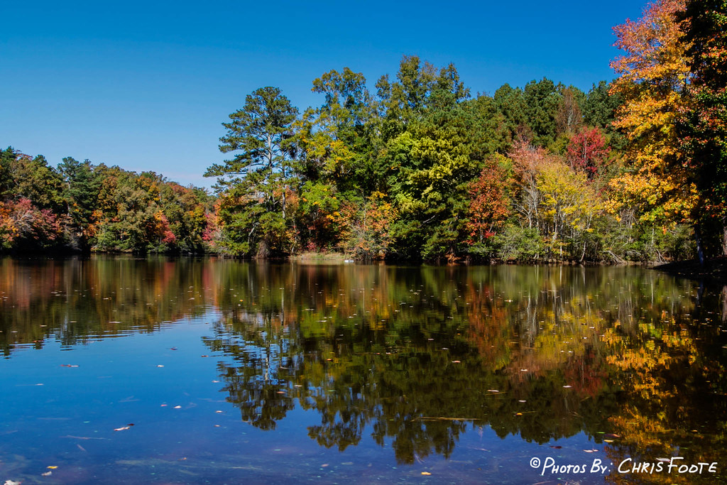
Fall Colors - Dove Pond
Fall Colors - Dove Pond
Colors at the Lake
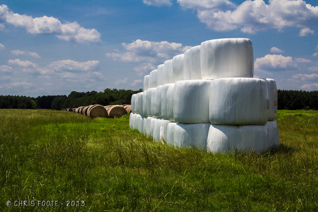
Marshmallow Field
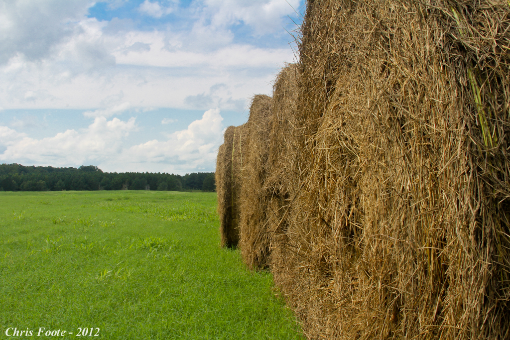
Hay Field

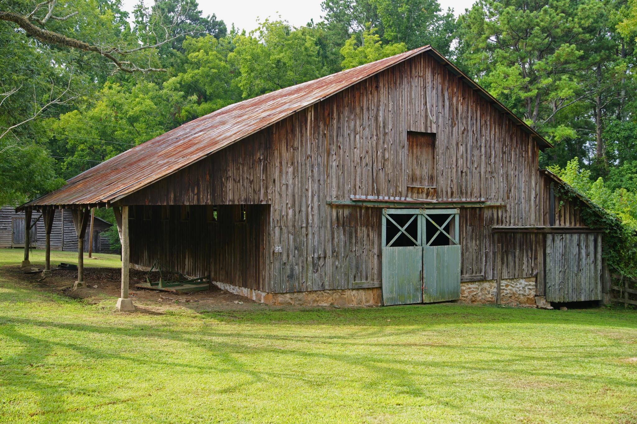
Charlie Elliott Wildlife Center
Topographic Map of Shady Dale, GA, USA
Find elevation by address:

Places in Shady Dale, GA, USA:
Places near Shady Dale, GA, USA:
Cemetery St, Shady Dale, GA, USA
Midway Church Rd, Shady Dale, GA, USA
Aikenton Rd, Monticello, GA, USA
74 Spearman Rd, Shady Dale, GA, USA
Post Rd, Monticello, GA, USA
Godfrey Rd, Madison, GA, USA
617 Martin Mill Rd
Post Rd, Monticello, GA, USA
1953 Sprayberry Rd
1953 Sprayberry Rd
1320 Mcfaddin Ln
1778 Sprayberry Rd
Monticello
173 Shady Dale Rd Nw
Linchburg Rd NW, Eatonton, GA, USA
Jasper County
Glades Rd, Eatonton, GA, USA
Newborn
4220d
Linchburg Rd NW, Eatonton, GA, USA
Recent Searches:
- Elevation of 6 Rue Jules Ferry, Beausoleil, France
- Elevation of Sattva Horizon, 4JC6+G9P, Vinayak Nagar, Kattigenahalli, Bengaluru, Karnataka, India
- Elevation of Great Brook Sports, Gold Star Hwy, Groton, CT, USA
- Elevation of 10 Mountain Laurels Dr, Nashua, NH, USA
- Elevation of 16 Gilboa Ln, Nashua, NH, USA
- Elevation of Laurel Rd, Townsend, TN, USA
- Elevation of 3 Nestling Wood Dr, Long Valley, NJ, USA
- Elevation of Ilungu, Tanzania
- Elevation of Yellow Springs Road, Yellow Springs Rd, Chester Springs, PA, USA
- Elevation of Rēzekne Municipality, Latvia