Elevation of Seeley, CA, USA
Location: United States > California > Imperial County >
Longitude: -115.69111
Latitude: 32.7931128
Elevation: -12m / -39feet
Barometric Pressure: 101KPa
Elevation Map:
Satellite Map:
Related Photos:

410 Squadron Hornet

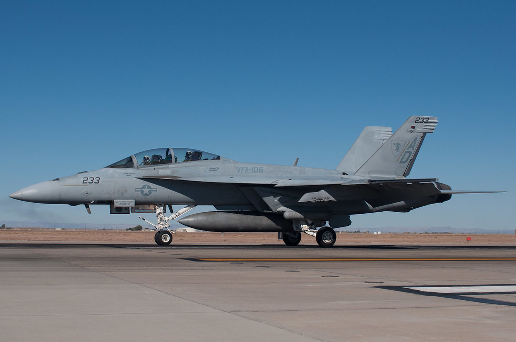
VFA - 106 Gladiators

A Low Kind of Feeling

IV Termite and Pest Control

Vermilion Flycatcher (Pyrocephalus rubinus)
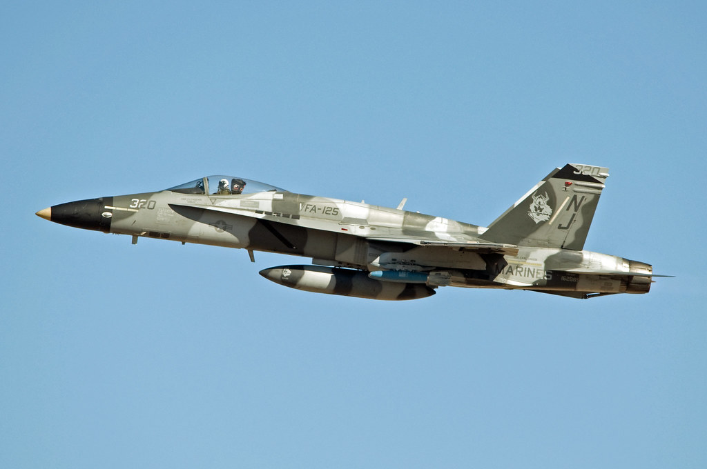
mcdonnell douglas f/a-18a hornet

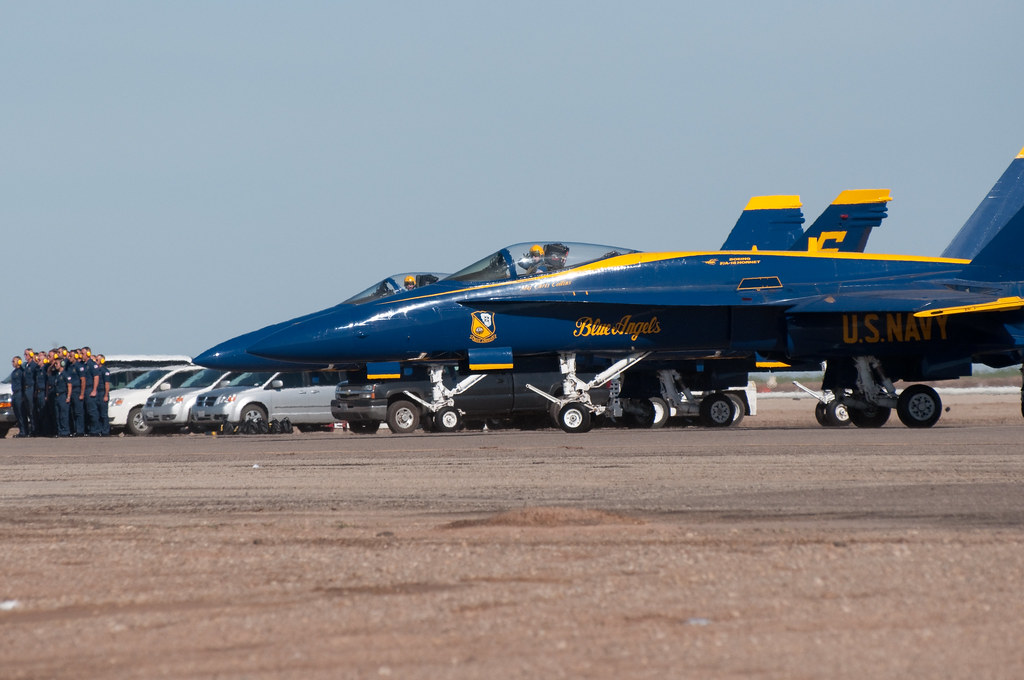
blue angels
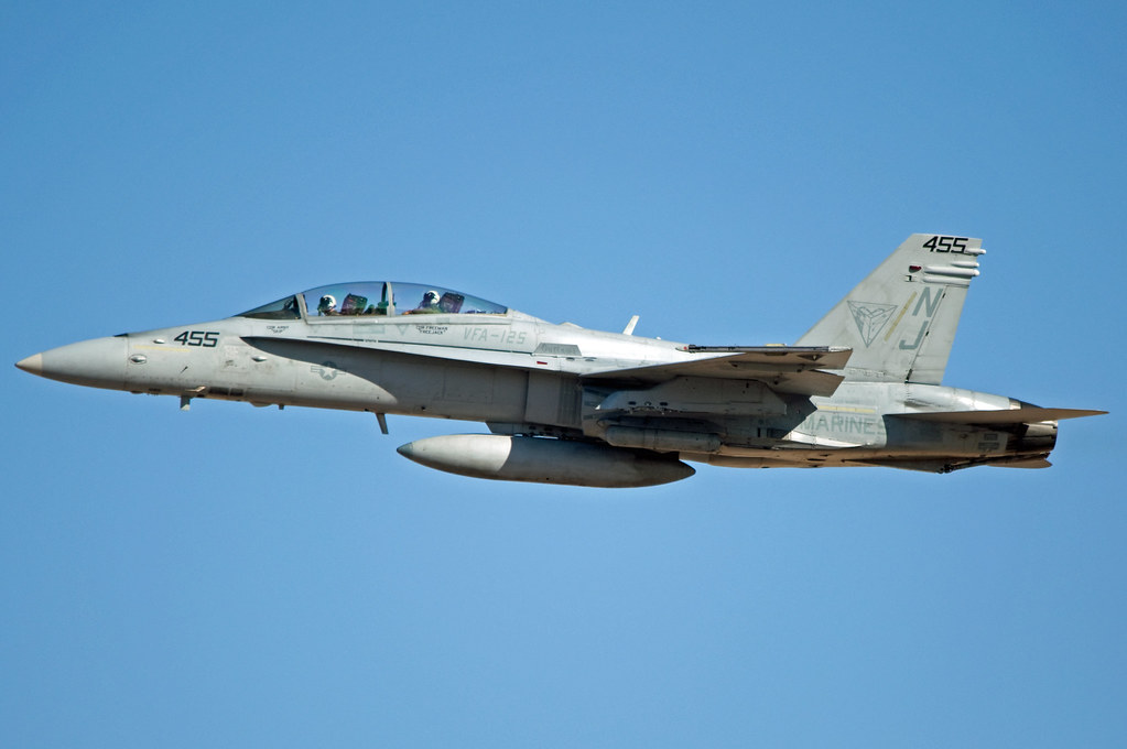
mcdonnell douglas f/a-18d hornet
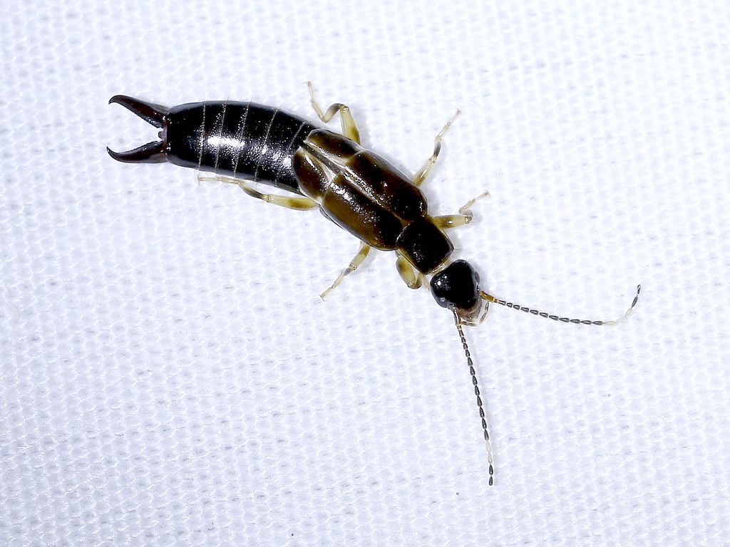
African Earwig (Euborellia cincticollis), New River Wetlands, Imperial County, CA, 7-29-17

grumman c-2 greyhound

mcdonnell douglas f/a-18d hornet

blue angels

mcdonnell douglas f/a-18d hornet
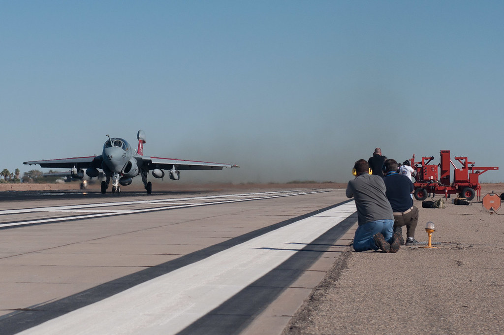
ringside seat at Prowler take off
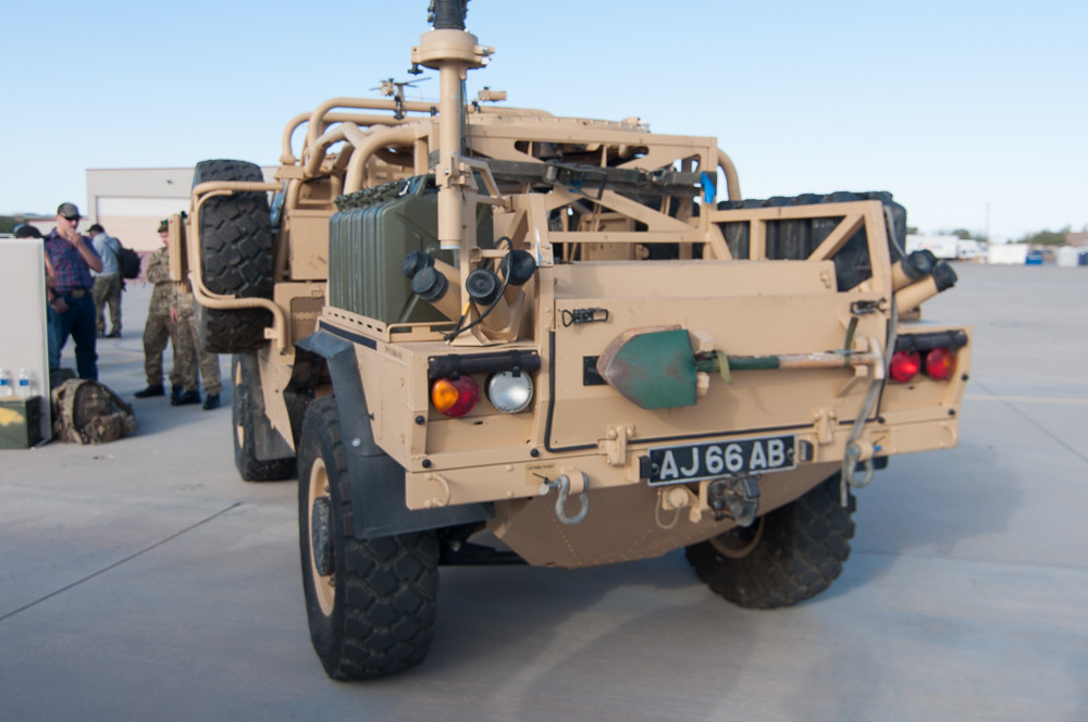
Jackal rear view
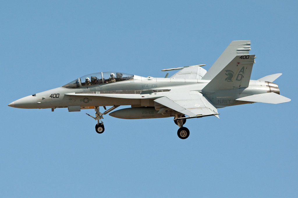
mcdonnell douglas f/a-18d hornet

boeing f/a-18e super hornet

mcdonnell douglas f/a-18c hornet

boeing f/a-18e super hornet
F-18F Super Hornet at El Centro
Blue Angel 4 taxiing out

blue angels
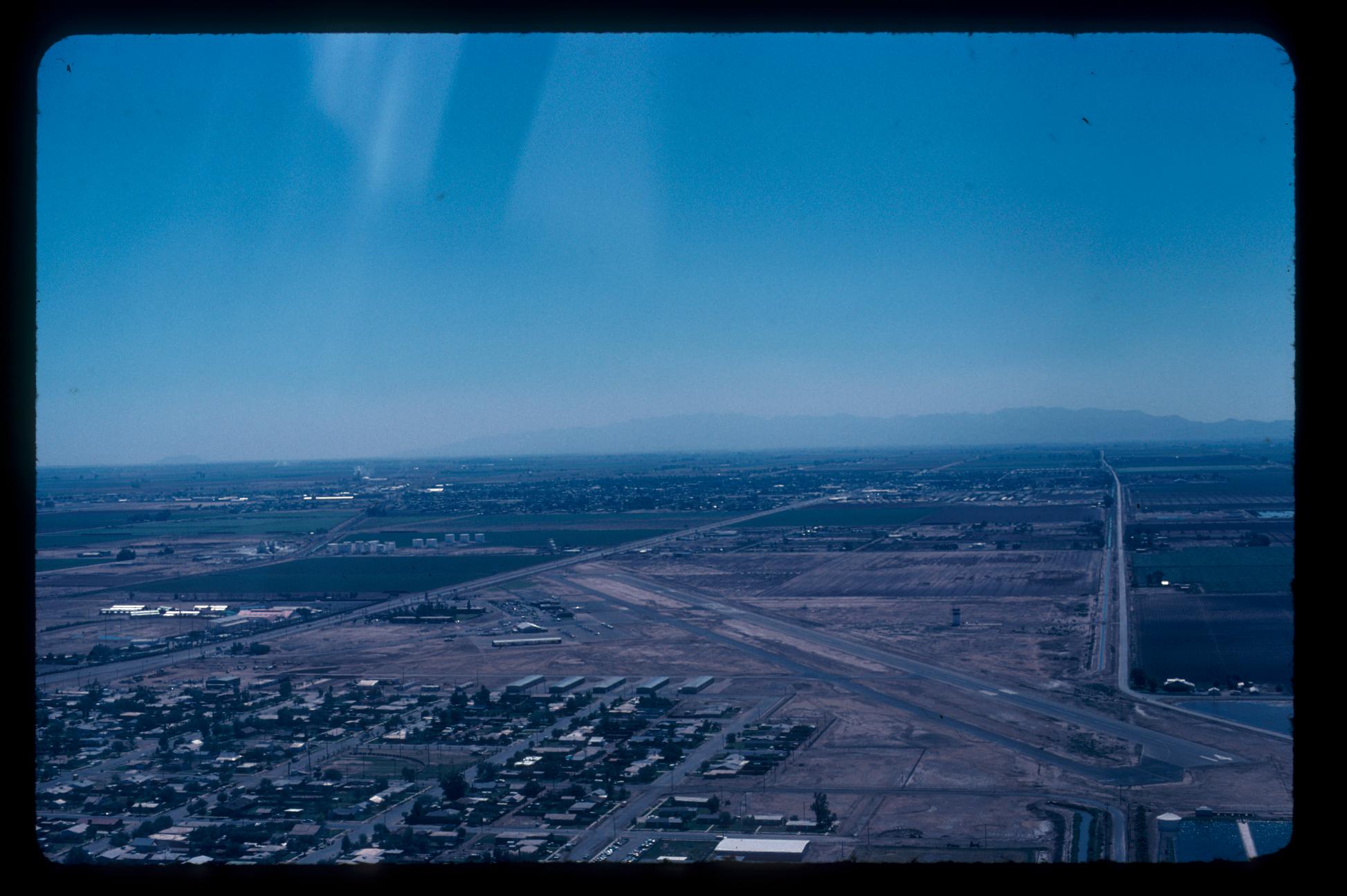
Aerial Photos SD - EC 1976

Camping at Dos Cabezas Siding in Anza-Borrego Desert State Park.
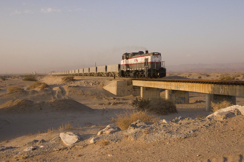
The Narrow Gauge Railway

Dave & Primo's Mexican Adventure (02-23-2012)-140
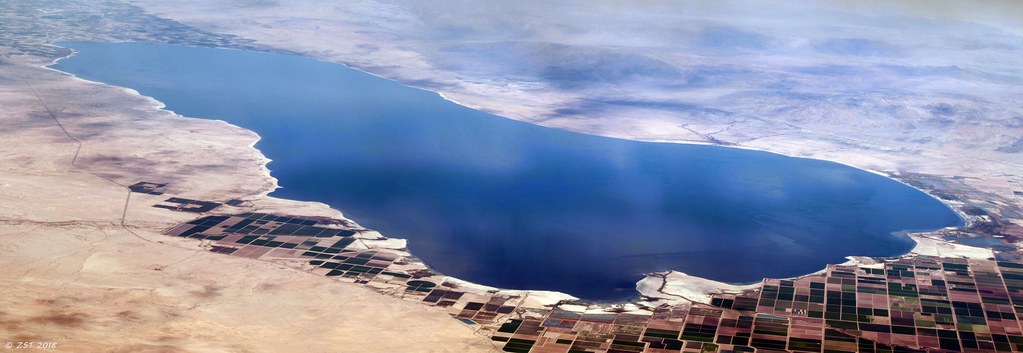
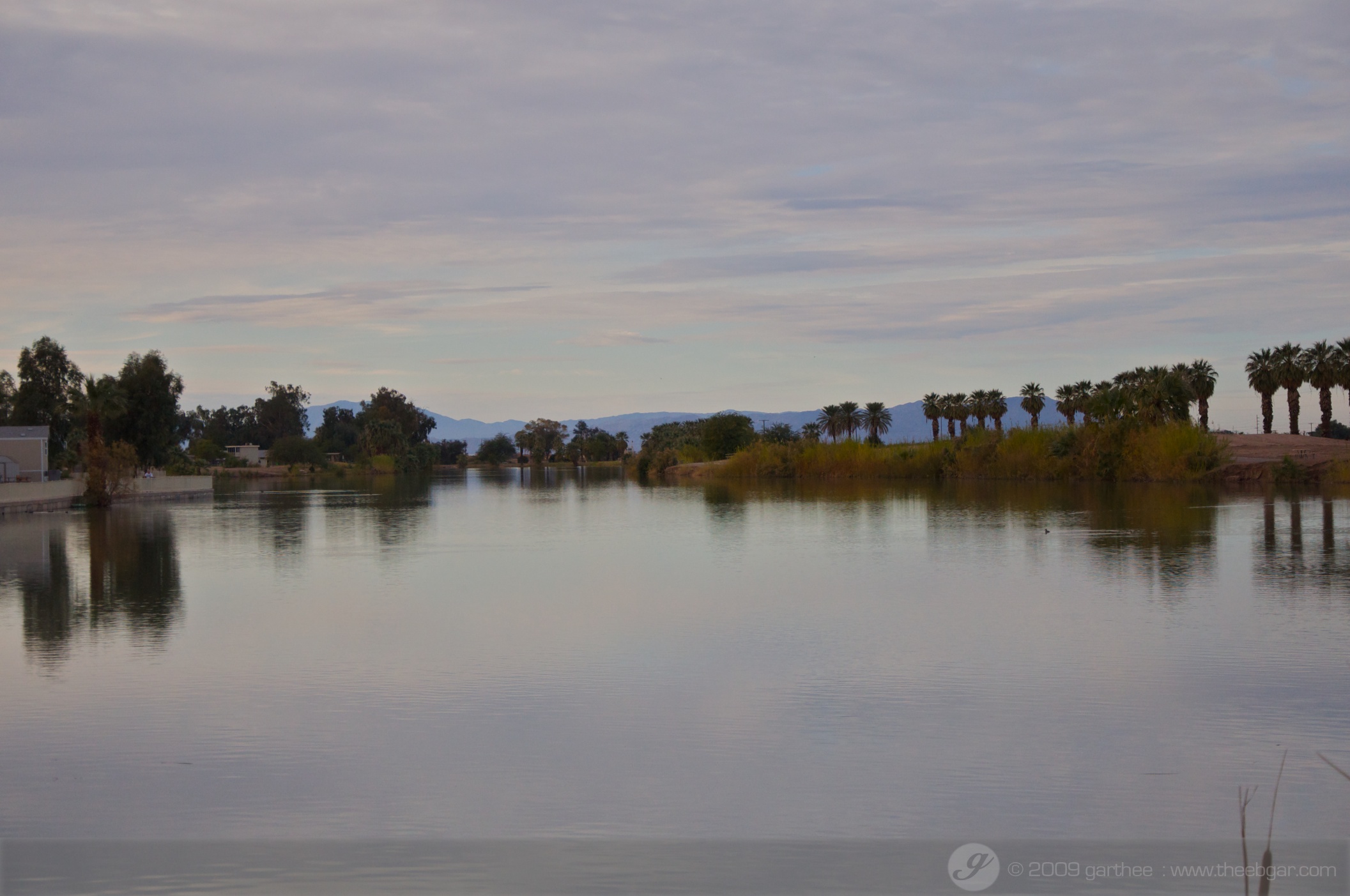
Salton Sea
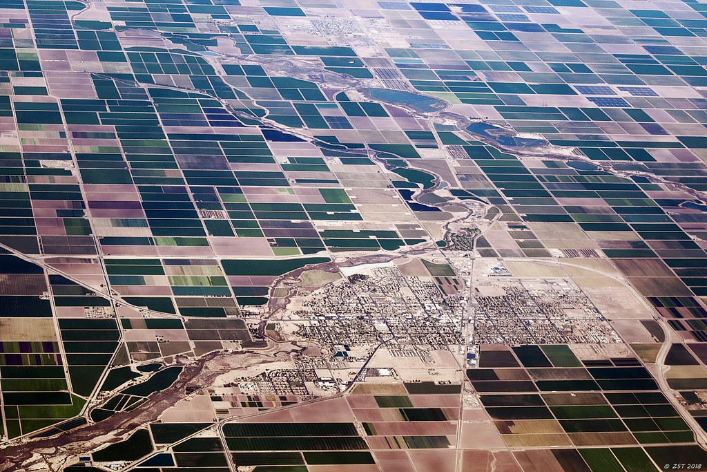
Brawley, CA

Dave & Primo's Mexican Adventure (02-23-2012)-135
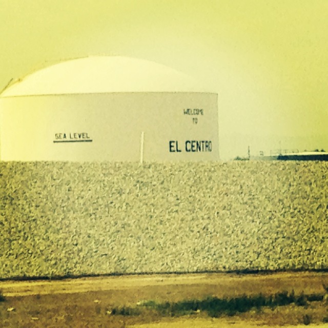
We're 31 feet below sea level.

Dave & Primo's Mexican Adventure (02-23-2012)-133
DSC02512.jpg
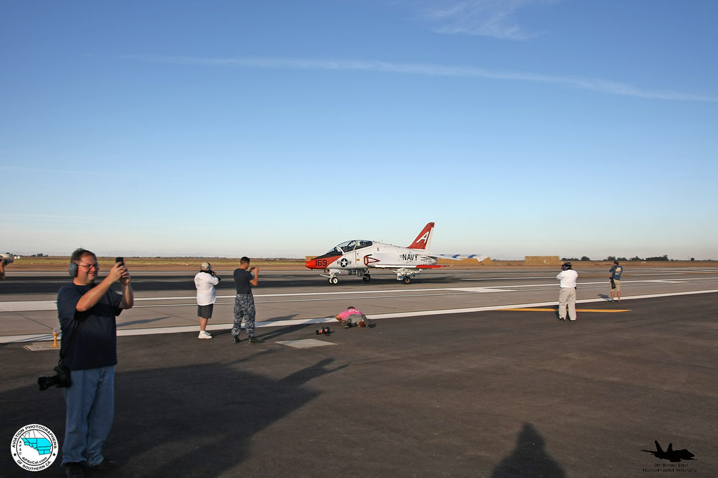
ApSoCal and AzAP members at NAF El Centro 11-17-11
Imperial County
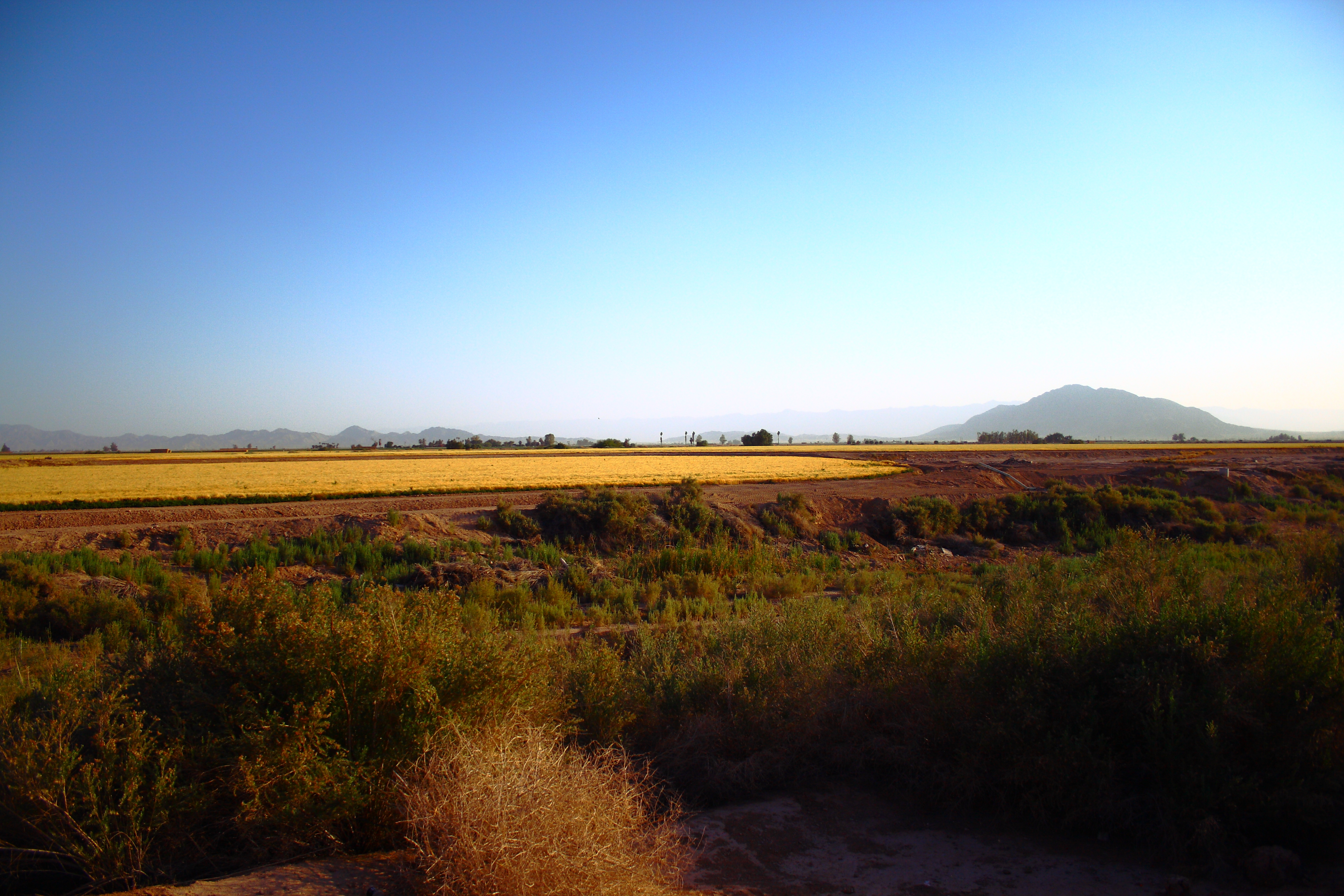
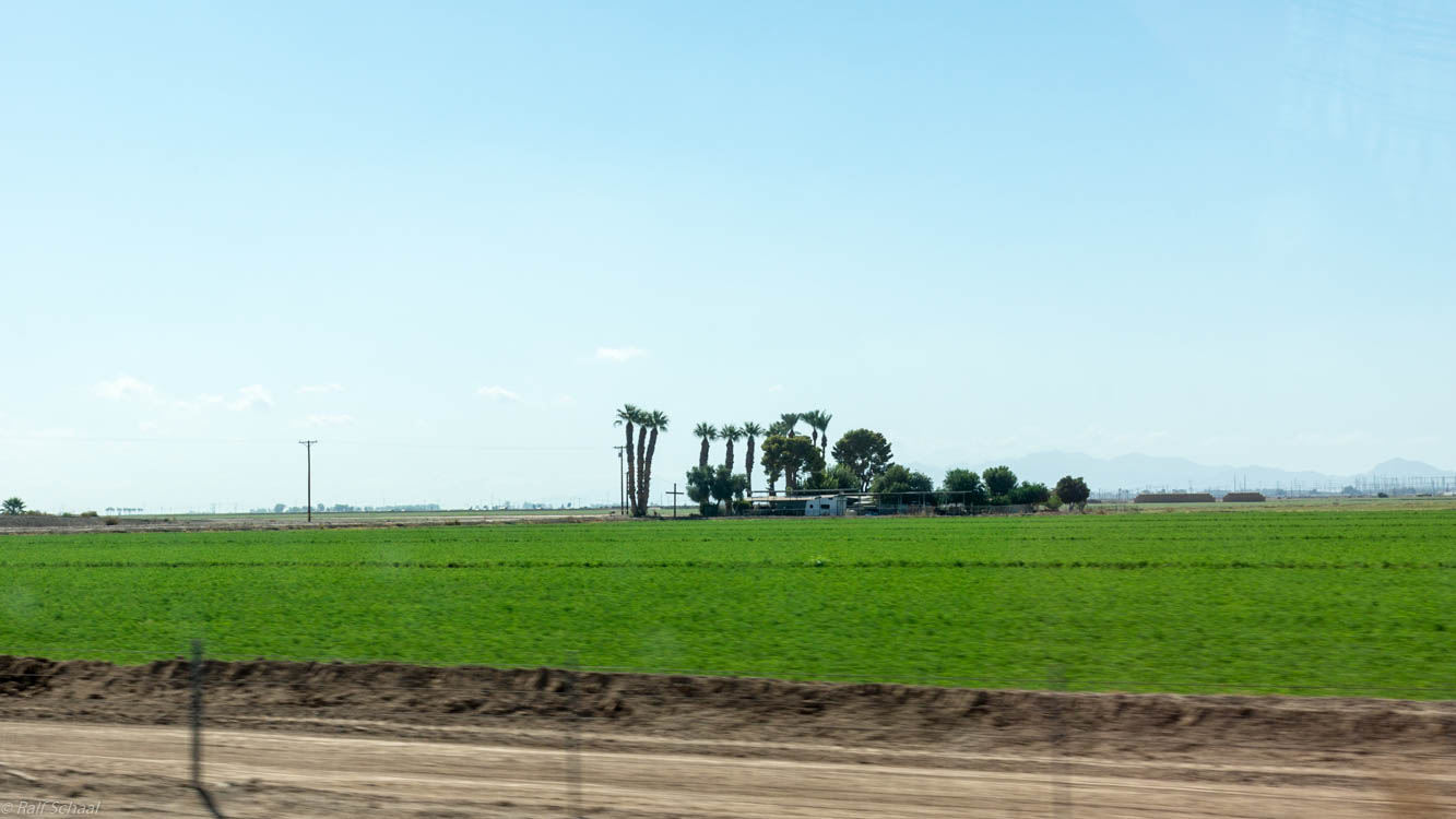
Imperial Valley
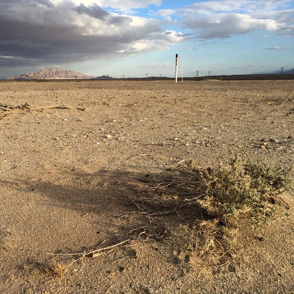
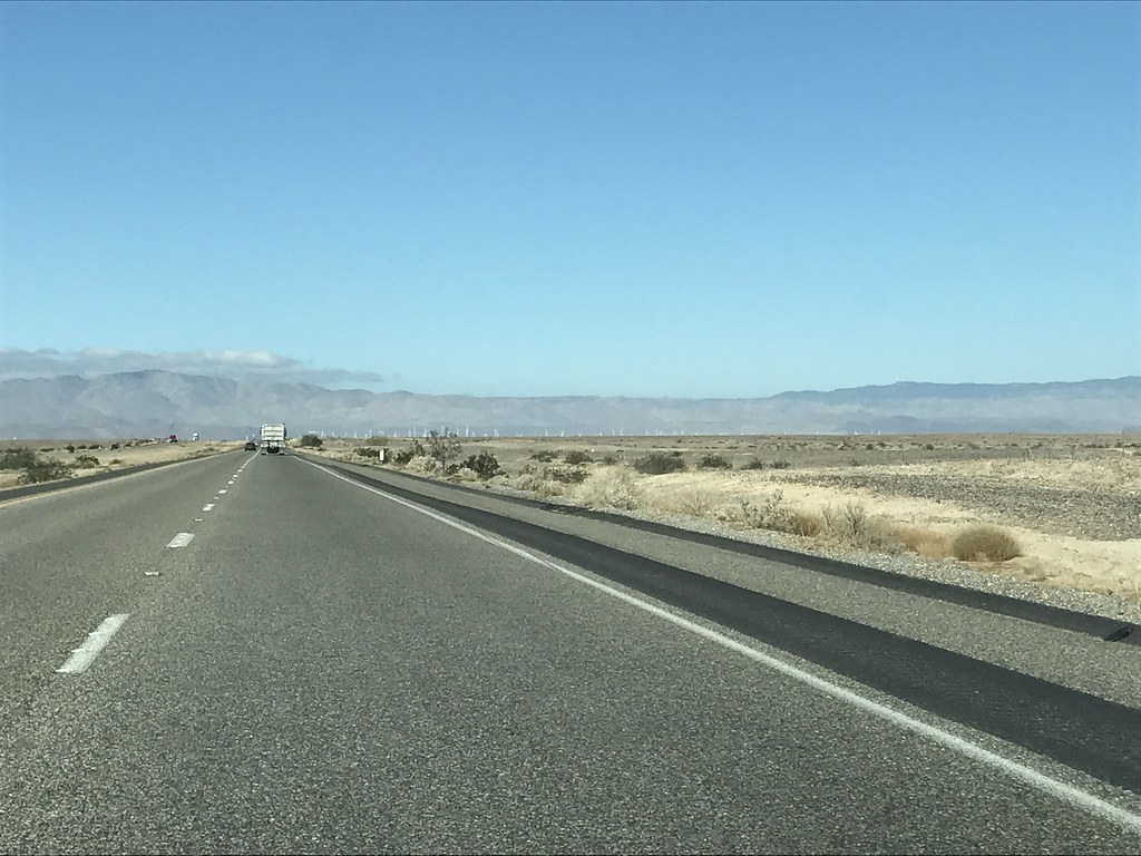
#california #desert
winter with Ramos' 40
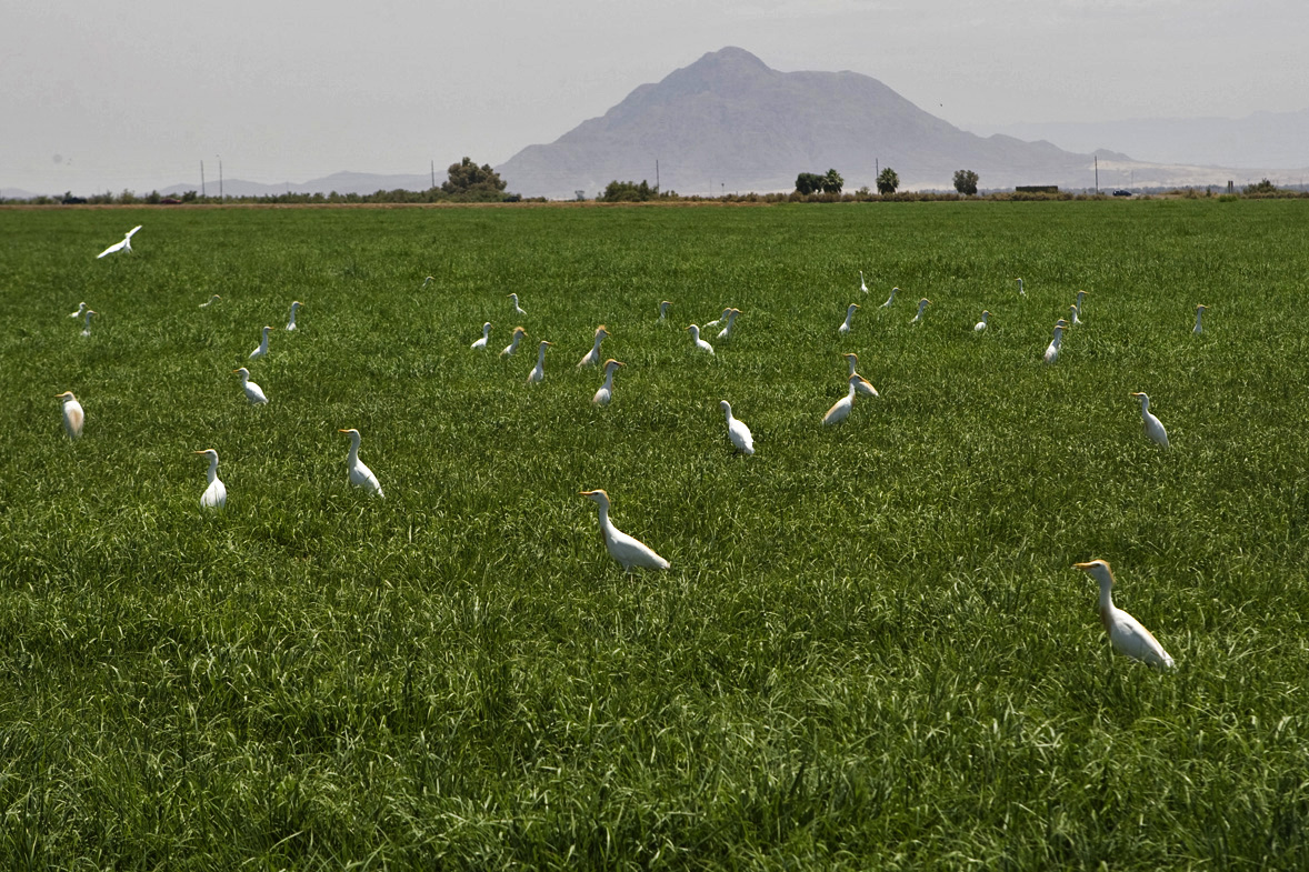
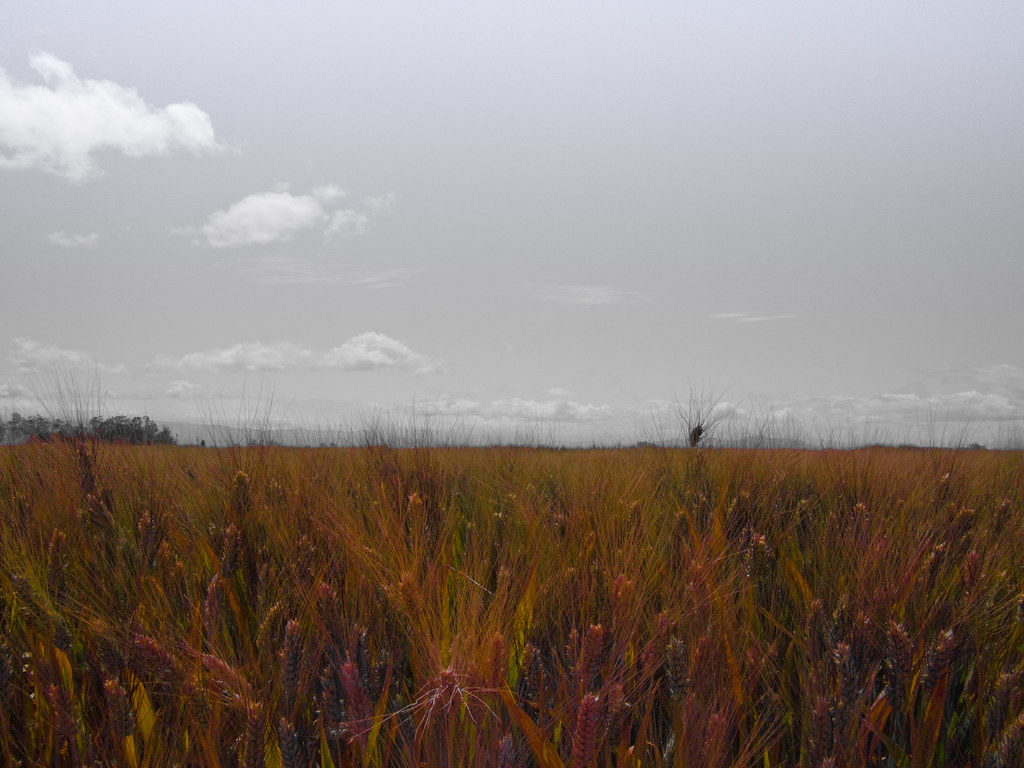
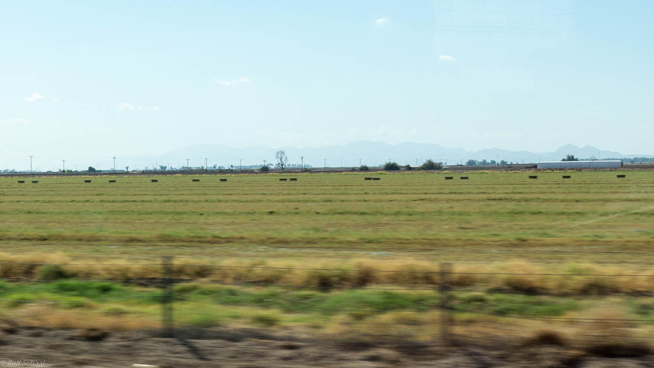
egrets and hay
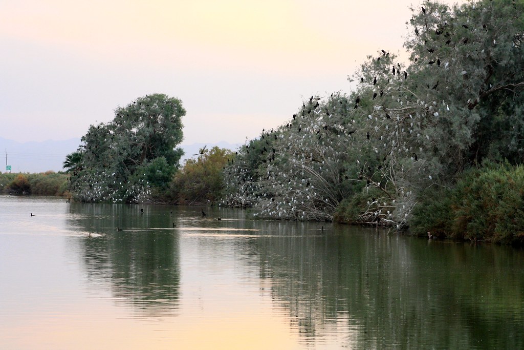
Cattle Egret roosts

Blue Angels
Imperial Sand Dune State Park
DSC02514.jpg
Topographic Map of Seeley, CA, USA
Find elevation by address:

Places near Seeley, CA, USA:
Main St, El Centro, CA, USA
West Evan Hewes Highway
W Hwy 80, Imperial, CA, USA
W Evan Hewes Hwy, Imperial, CA, USA
625 Tiger Lily Ln
1855 Main St
1855 Lincoln Ave
1850 Lincoln Ave
333 S Waterman Ave
1530 S Waterman Ave
1507 W Barbara Worth Dr
Ocotillo Drive
2030 N Imperial Ave
2300 Myrtle Rd
1498 Adams Ave
El Centro
984 Ocotillo Dr
Imperial
2626 Thomas Dr
Heber
Recent Searches:
- Elevation of Dog Leg Dr, Minden, NV, USA
- Elevation of Dog Leg Dr, Minden, NV, USA
- Elevation of Kambingan Sa Pansol Atbp., Purok 7 Pansol, Candaba, Pampanga, Philippines
- Elevation of Pinewood Dr, New Bern, NC, USA
- Elevation of Mountain View, CA, USA
- Elevation of Foligno, Province of Perugia, Italy
- Elevation of Blauwestad, Netherlands
- Elevation of Bella Terra Blvd, Estero, FL, USA
- Elevation of Estates Loop, Priest River, ID, USA
- Elevation of Woodland Oak Pl, Thousand Oaks, CA, USA