Elevation of Imperial, CA, USA
Location: United States > California > Imperial County >
Longitude: -115.56943
Latitude: 32.8475528
Elevation: -20m / -66feet
Barometric Pressure: 102KPa
Elevation Map:
Satellite Map:
Related Photos:
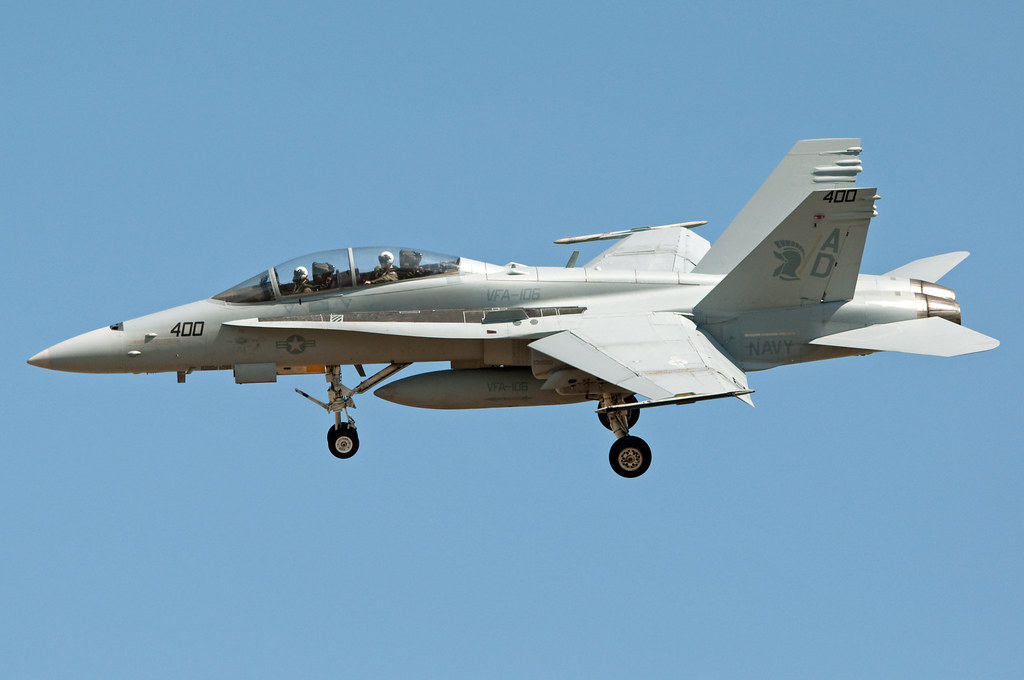
mcdonnell douglas f/a-18d hornet
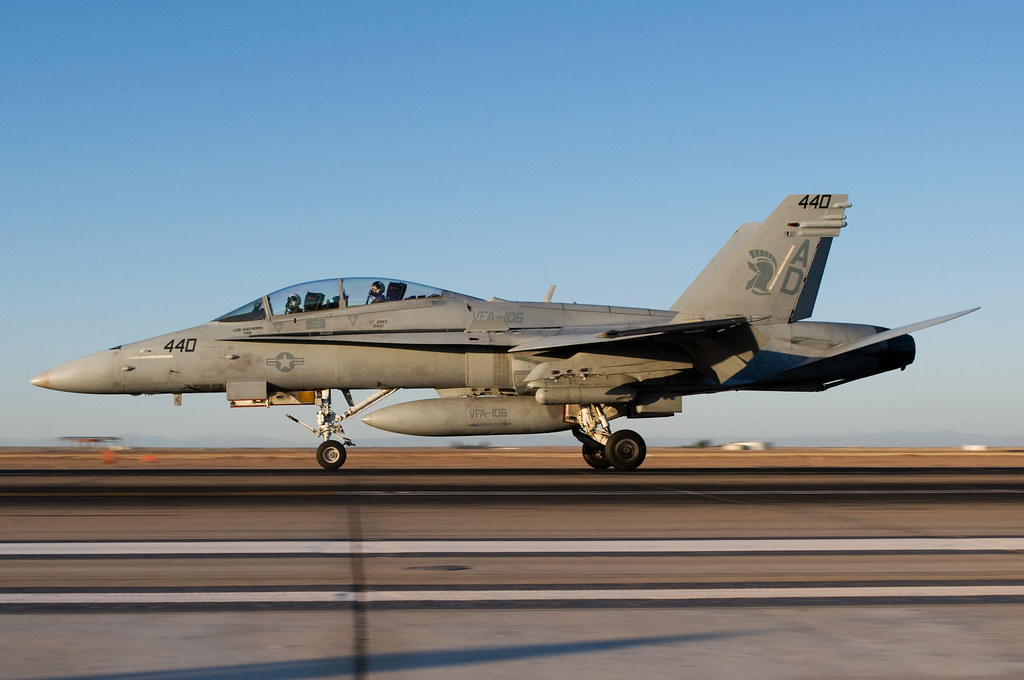
VFA - 106 Gladiators

Longhorns SAR demo
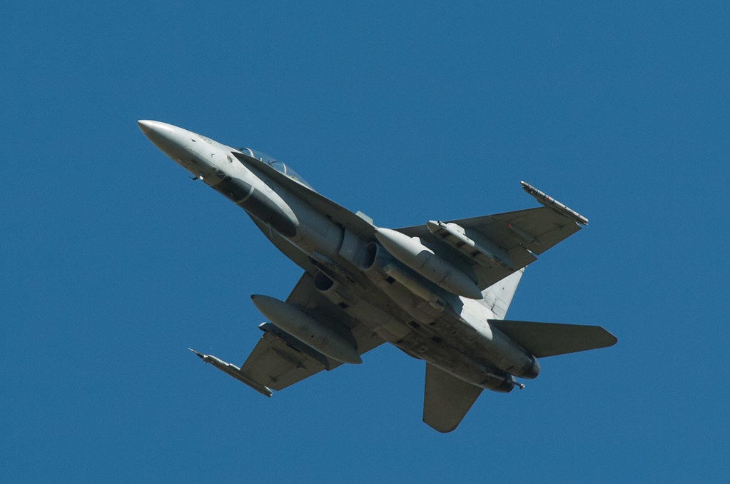
mcdonnell douglas f/a-18d hornet
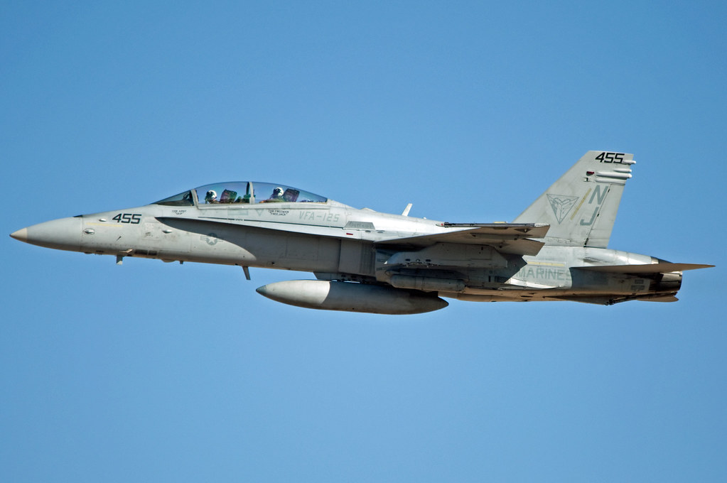
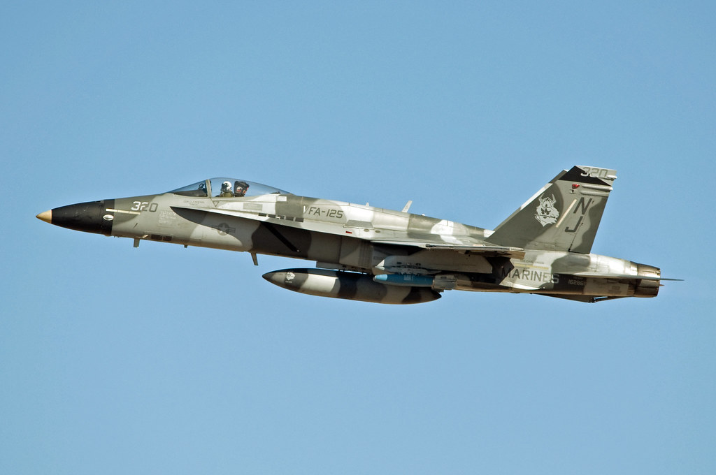
VFA - 125 bomber take off
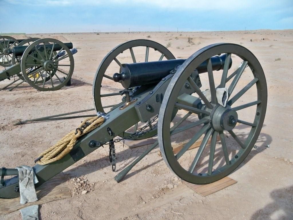
Cannon side view
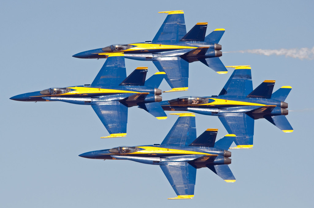
blue angels
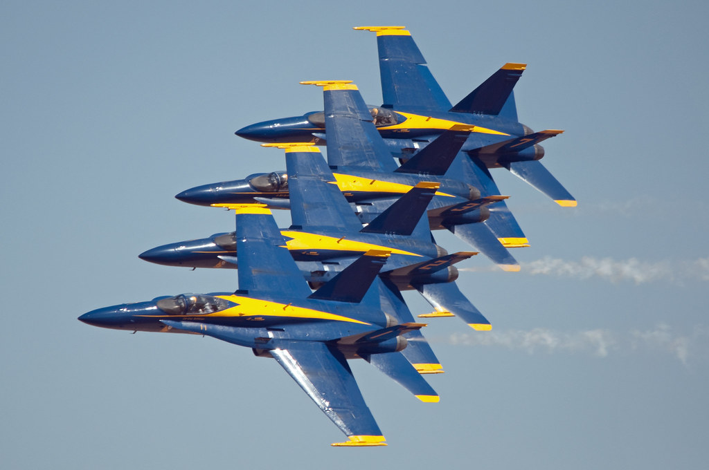
blue angels

grumman c-2 greyhound
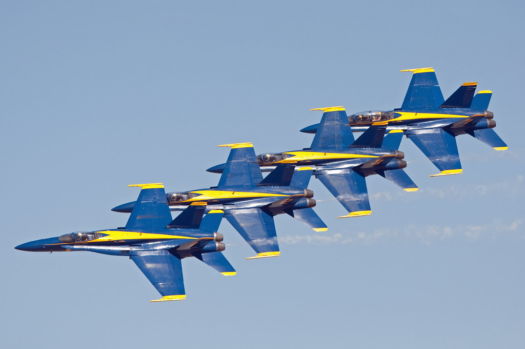
blue angels
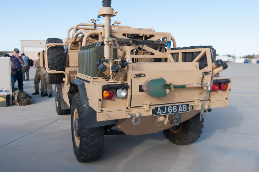
Jackal rear view

grumman c-2 greyhound

mcdonnell douglas f/a-18d hornet
mcdonnell douglas f/a-18a hornet
mcdonnell douglas f/a-18c hornet
boeing f/a-18e super hornet
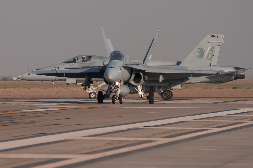
mcdonnell douglas f/a-18d hornet
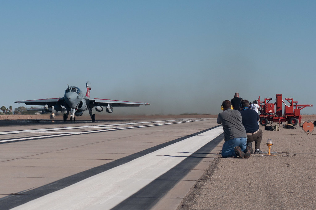
ringside seat at Prowler take off

Mobile Christmas Tree

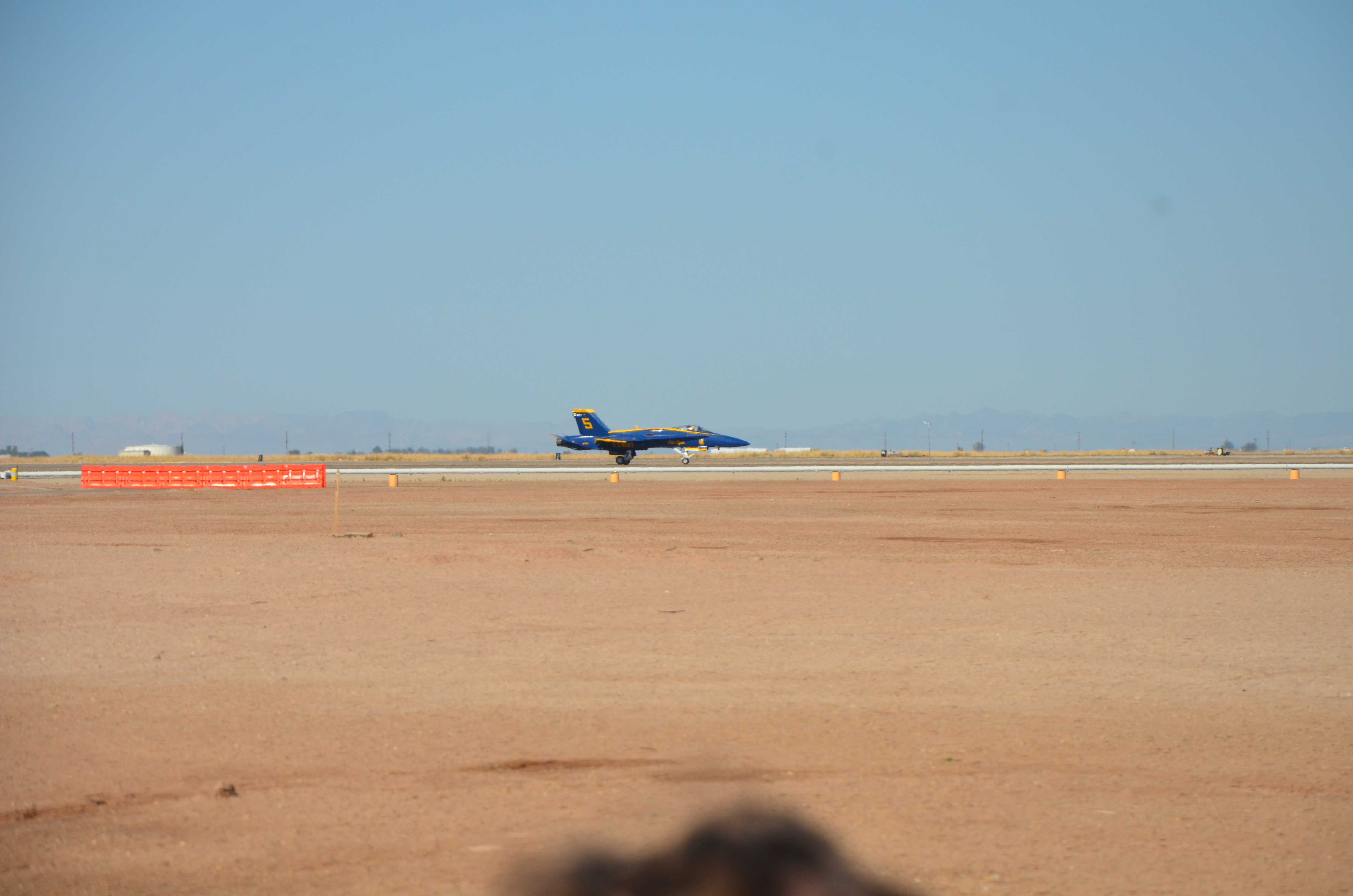
USN Blue Angels @ NAF El Centro
410 Squadron Hornet
Imperial County
DSC02514.jpg
DSC02515.jpg

blue angels
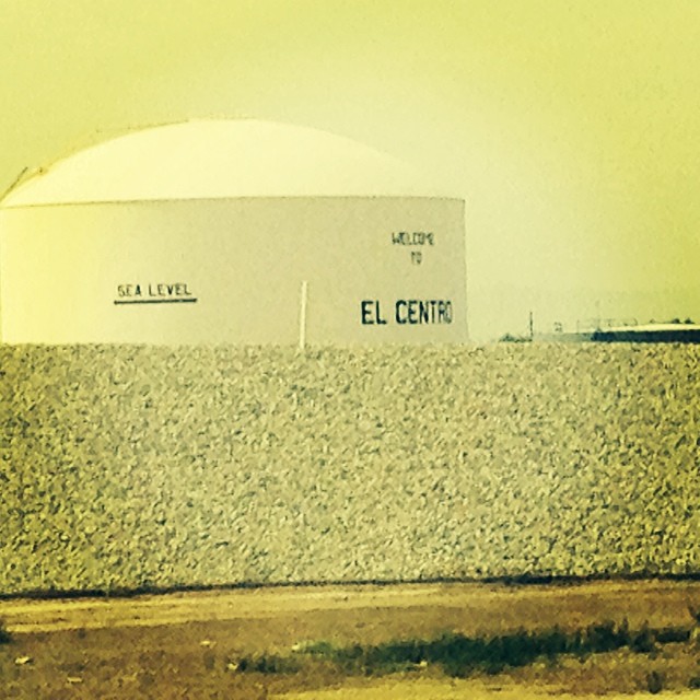
We're 31 feet below sea level.
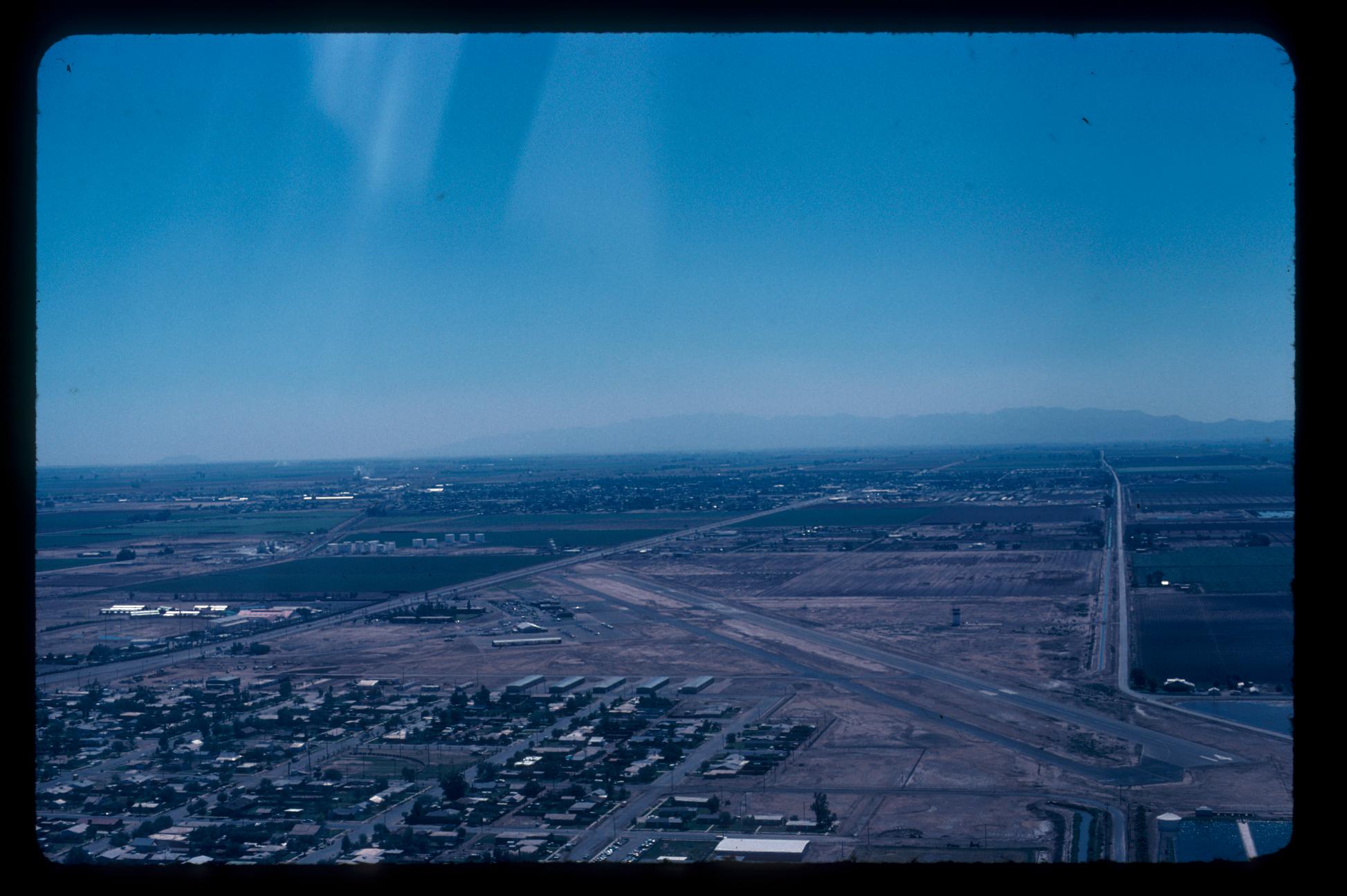
Aerial Photos SD - EC 1976
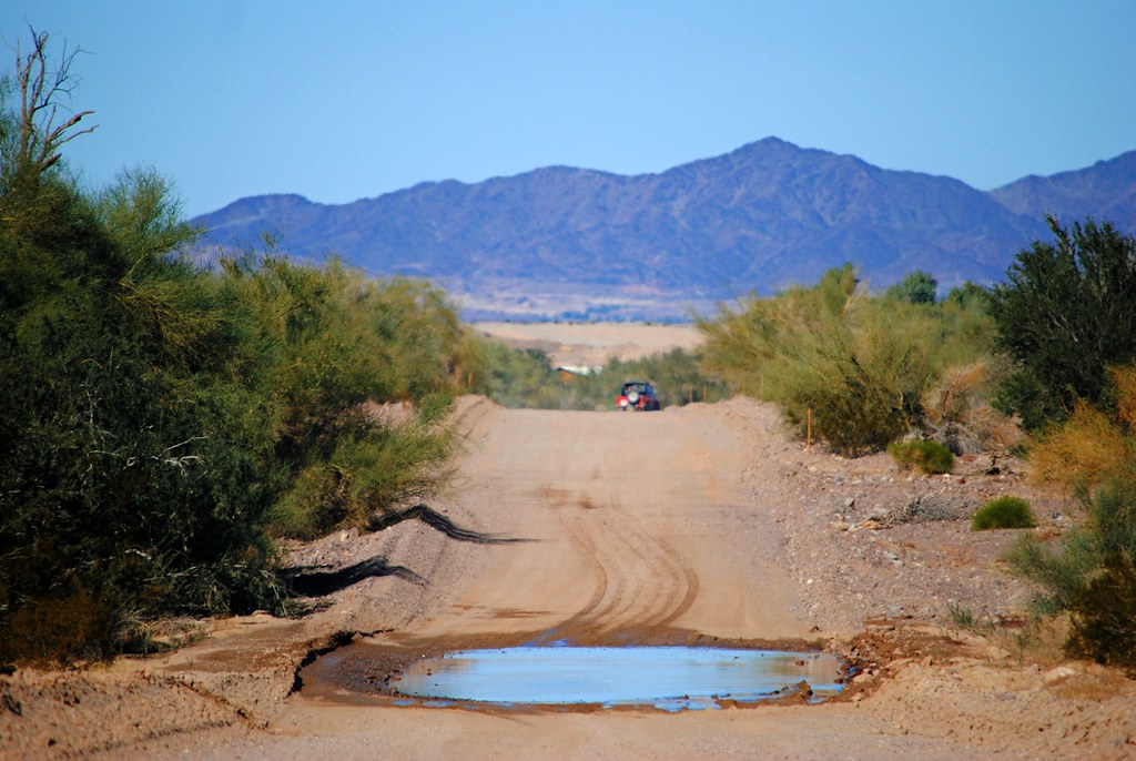
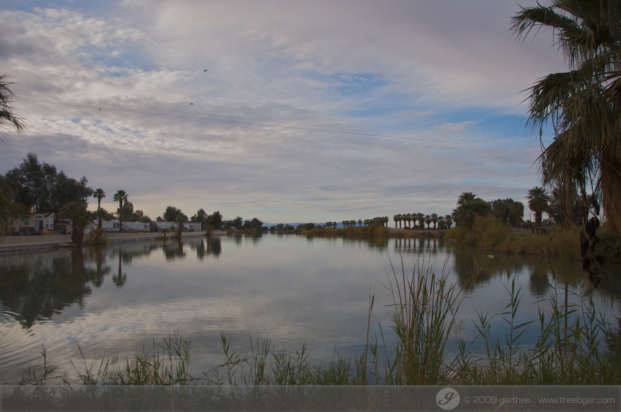
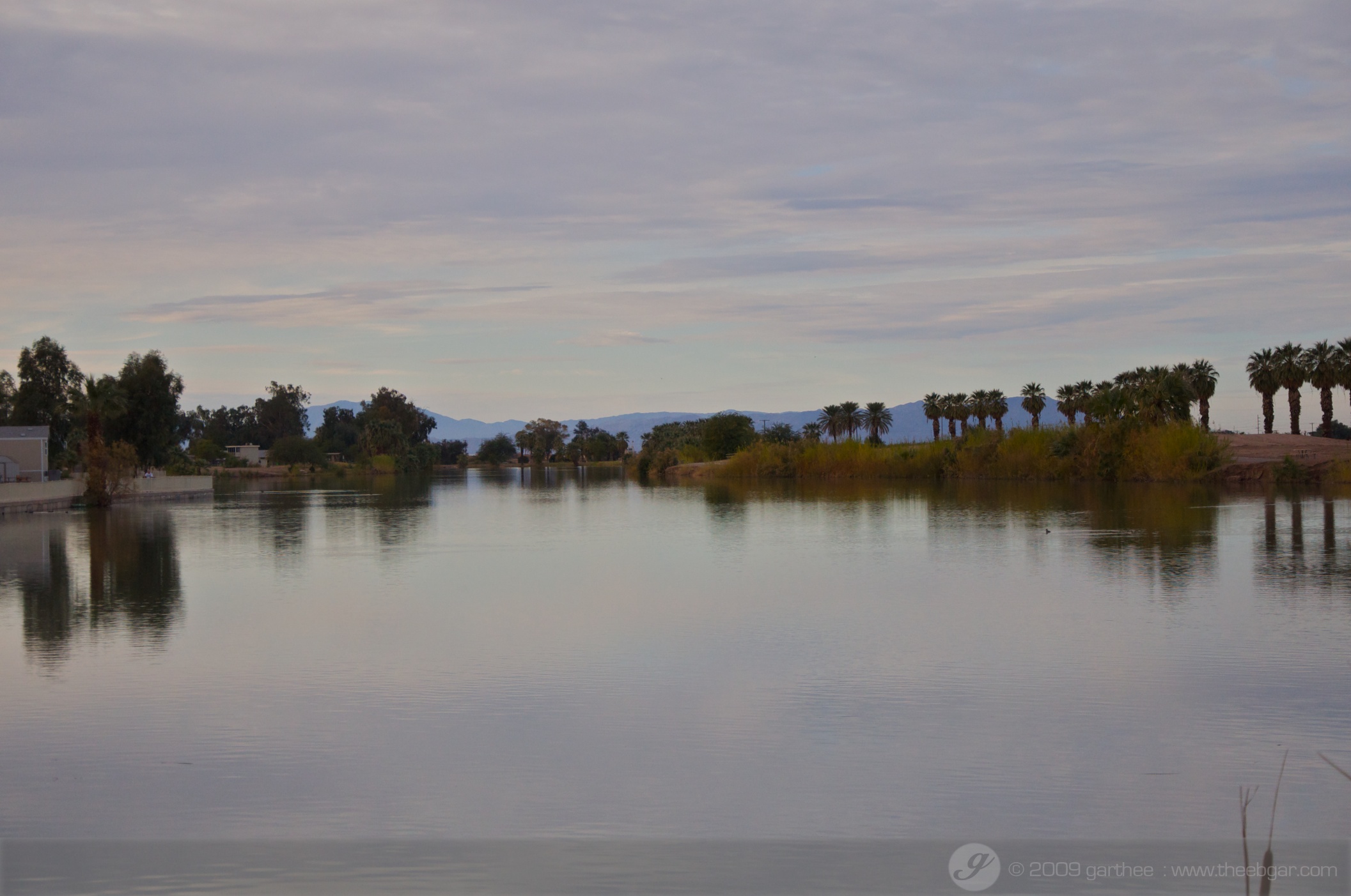
Desert Oasis

IMG_1942.jpg
IMG_2360.jpg
cerro del centinela
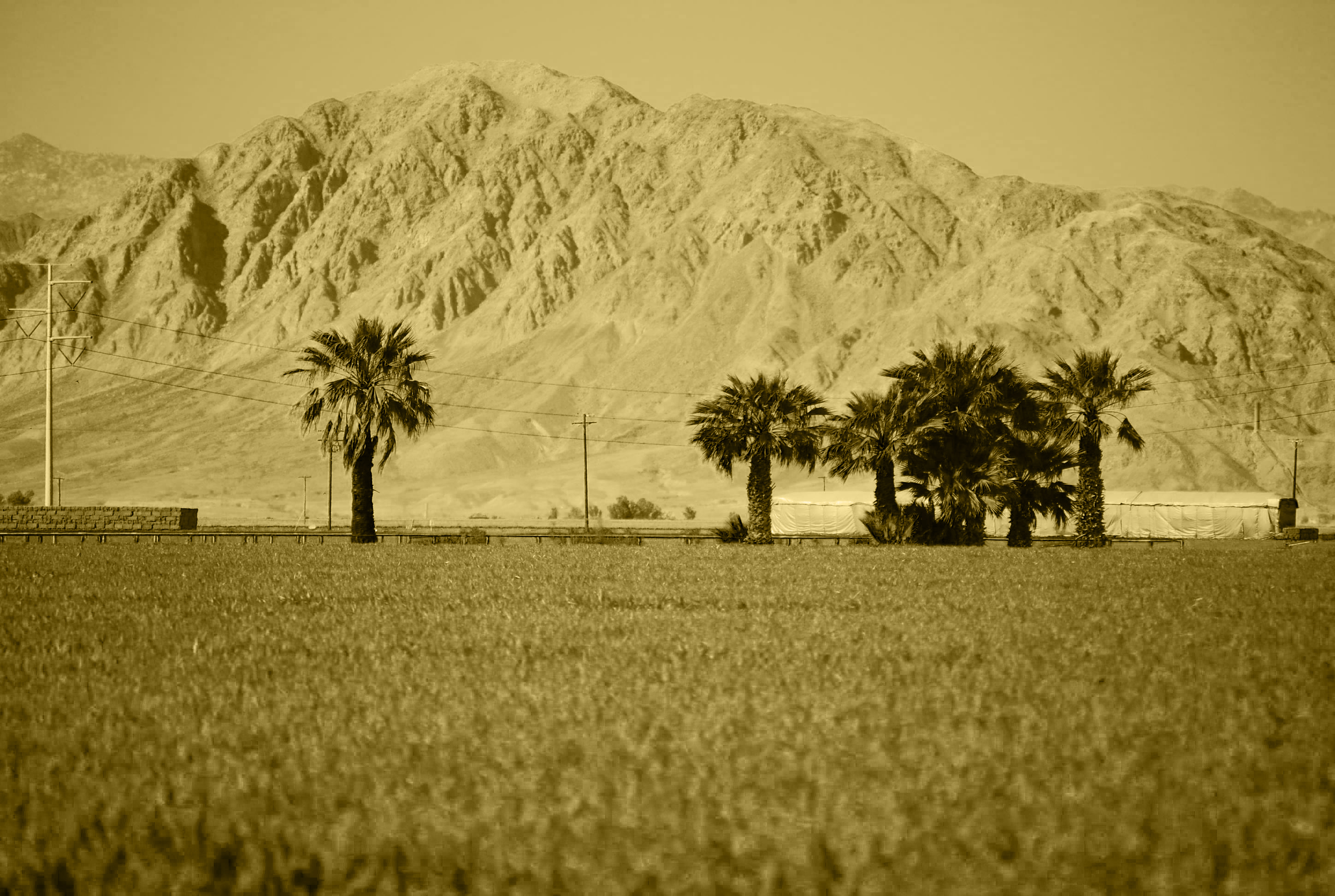
Mt. Signal

Western Burrowing Owl, Athene cunicularia hypugaea
DSC02519.jpg
winter with Ramos' 39
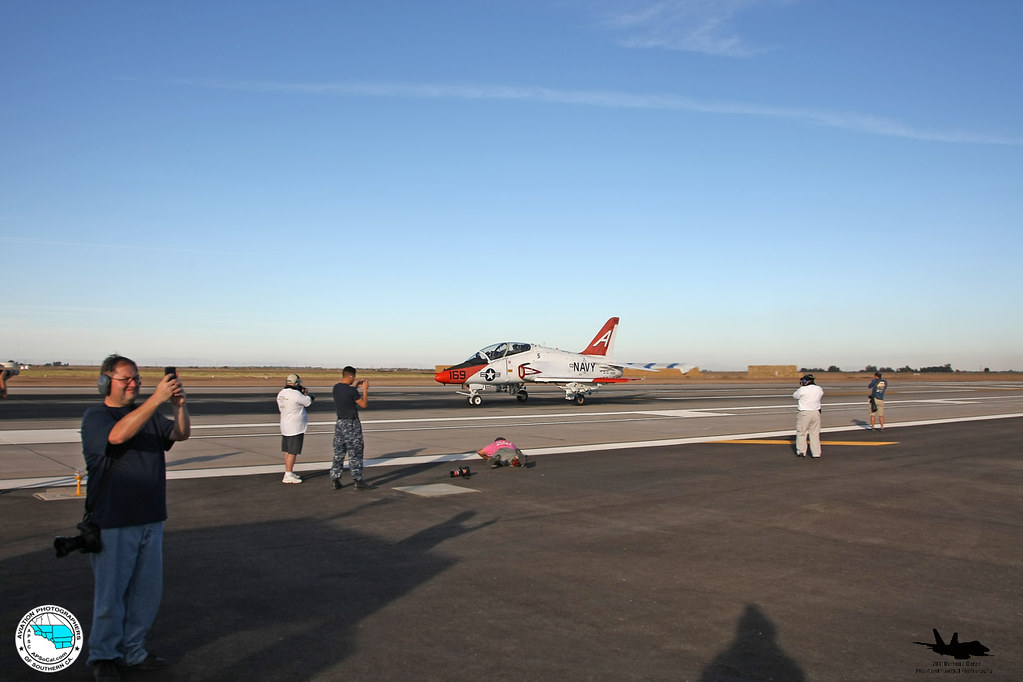
ApSoCal and AzAP members at NAF El Centro 11-17-11
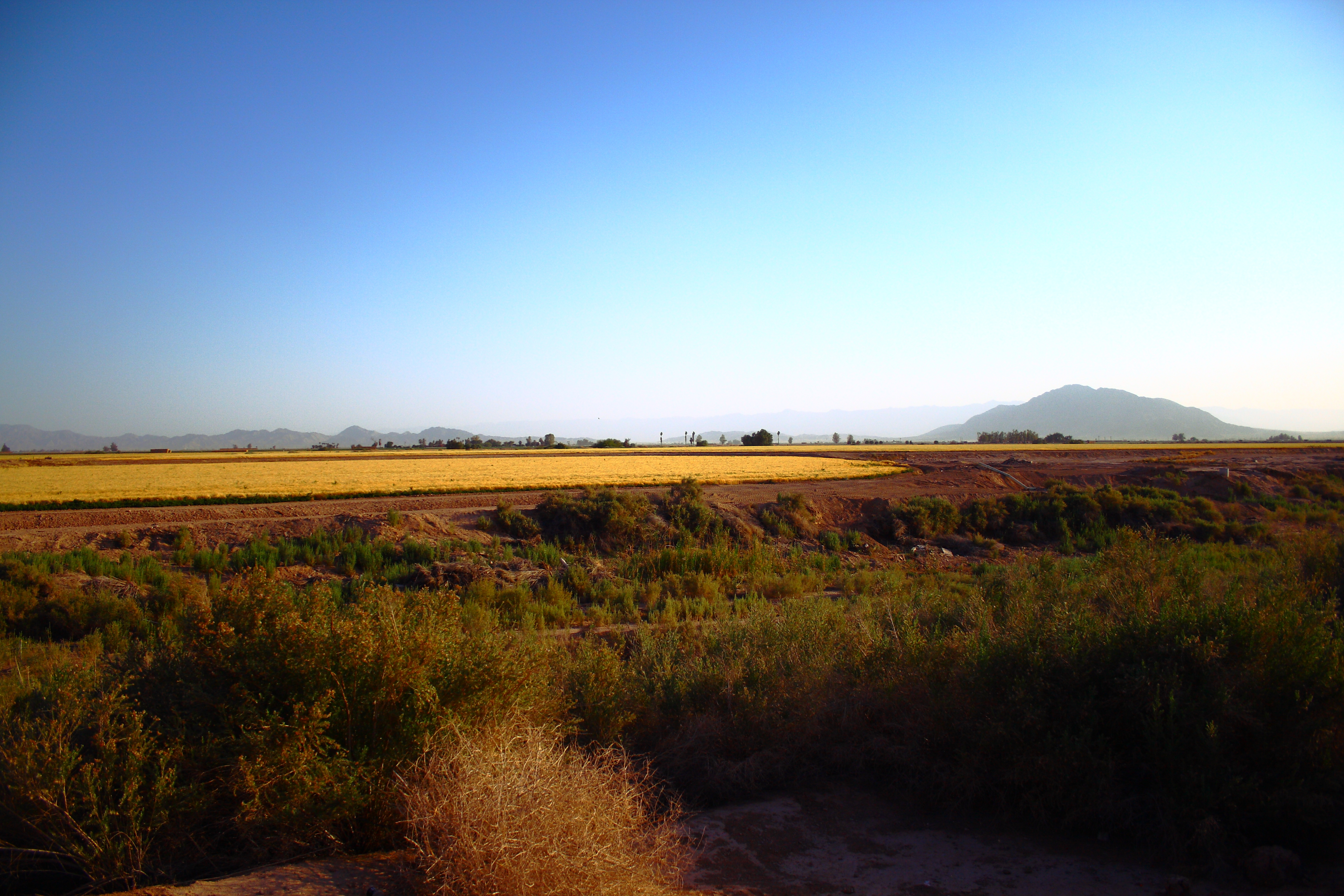
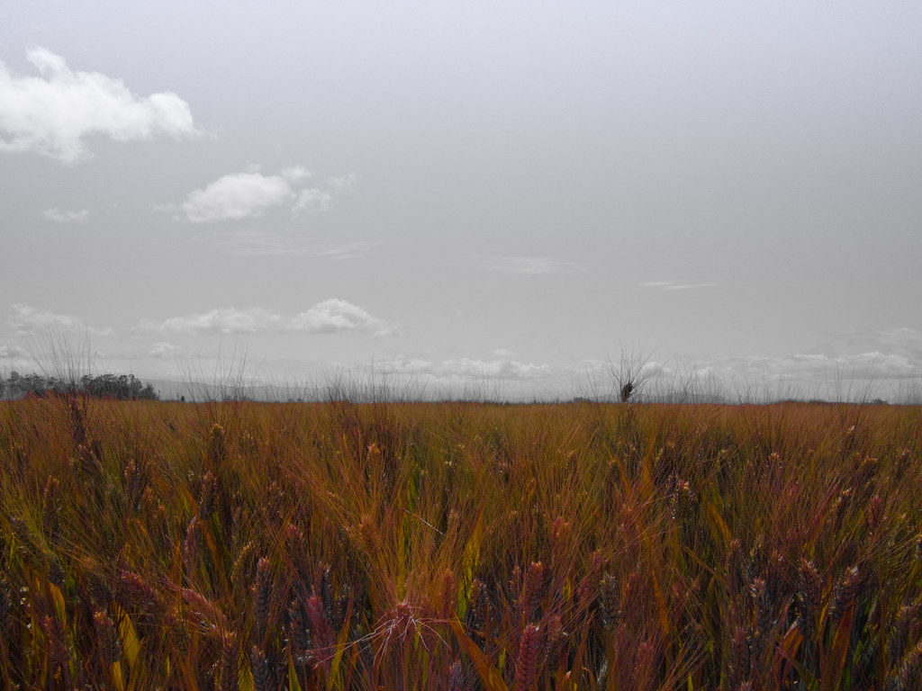
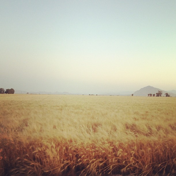
Imperial Valley

Western Burrowing Owl, Athene cunicularia hypugaea
winter with Ramos' 40
El Centro 2013
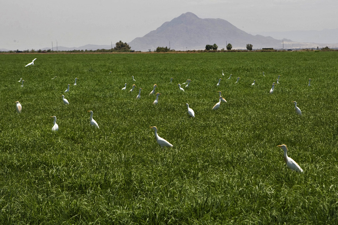
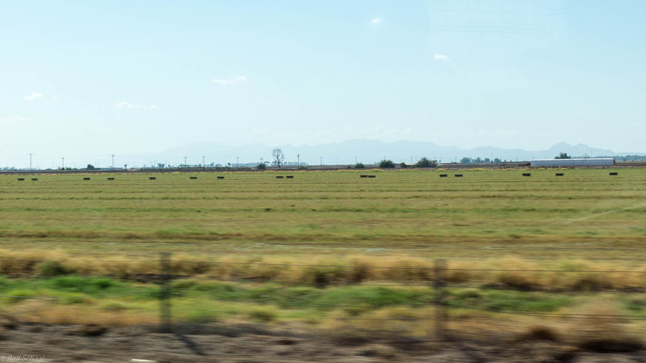
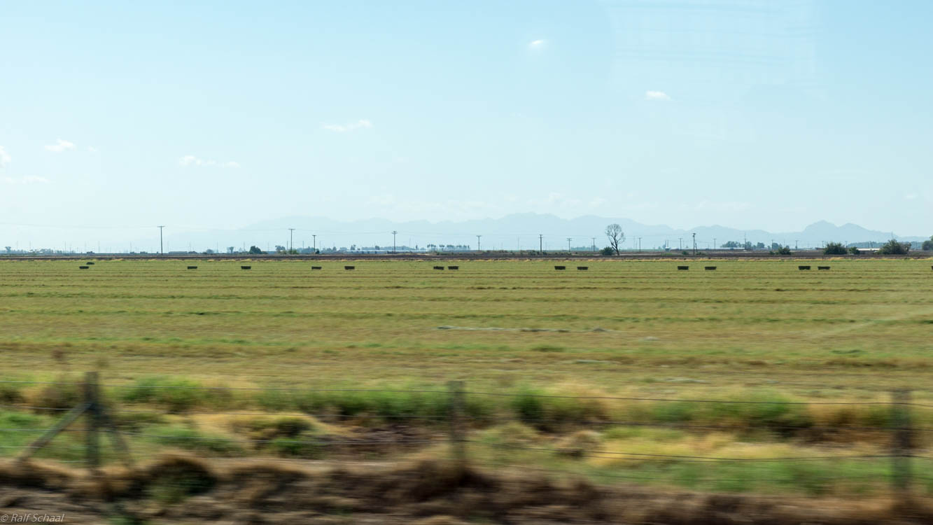
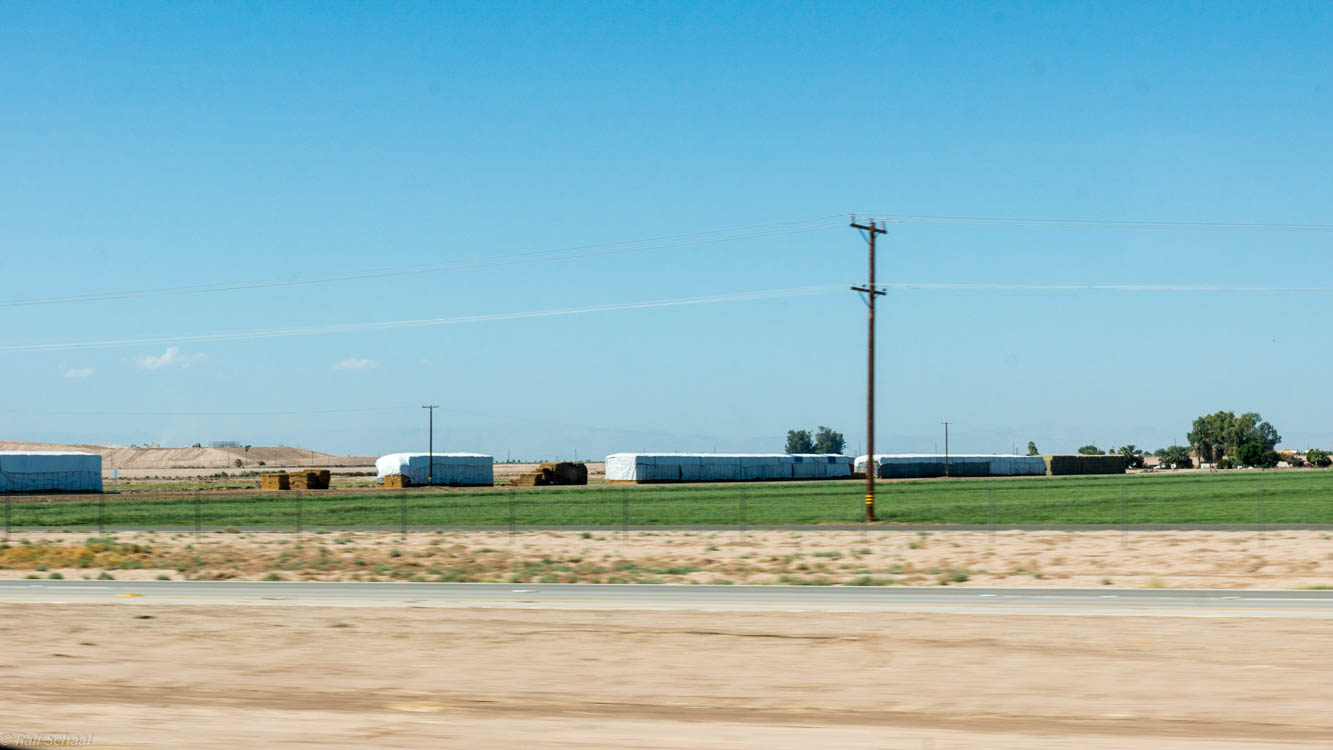
egrets and hay

Western Burrowing Owl, Athene cunicularia hypugaea
Topographic Map of Imperial, CA, USA
Find elevation by address:

Places in Imperial, CA, USA:
Places near Imperial, CA, USA:
2300 Myrtle Rd
625 Tiger Lily Ln
2030 N Imperial Ave
1850 Lincoln Ave
1855 Lincoln Ave
1498 Adams Ave
1507 W Barbara Worth Dr
El Centro
1855 Main St
333 S Waterman Ave
1530 S Waterman Ave
Imperial Valley College
Ocotillo Drive
984 Ocotillo Dr
2626 Thomas Dr
1764 Citrus Ln
Heber
Holt Rd, Holtville, CA, USA
Holtville
Recent Searches:
- Elevation of 15th Ave SE, St. Petersburg, FL, USA
- Elevation of Beall Road, Beall Rd, Florida, USA
- Elevation of Leguwa, Nepal
- Elevation of County Rd, Enterprise, AL, USA
- Elevation of Kolchuginsky District, Vladimir Oblast, Russia
- Elevation of Shustino, Vladimir Oblast, Russia
- Elevation of Lampiasi St, Sarasota, FL, USA
- Elevation of Elwyn Dr, Roanoke Rapids, NC, USA
- Elevation of Congressional Dr, Stevensville, MD, USA
- Elevation of Bellview Rd, McLean, VA, USA