Elevation of Adams Ave, El Centro, CA, USA
Location: United States > California > Imperial County > El Centro >
Longitude: -115.56944
Latitude: 32.7969145
Elevation: -12m / -39feet
Barometric Pressure: 101KPa
Elevation Map:
Satellite Map:
Related Photos:

Vermilion Flycatcher (Pyrocephalus rubinus)

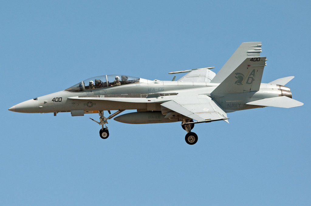
VFA - 106 Gladiators

mcdonnell douglas f/a-18d hornet
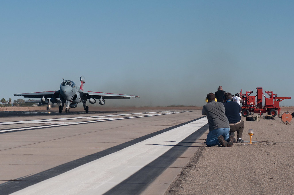
ringside seat at Prowler take off
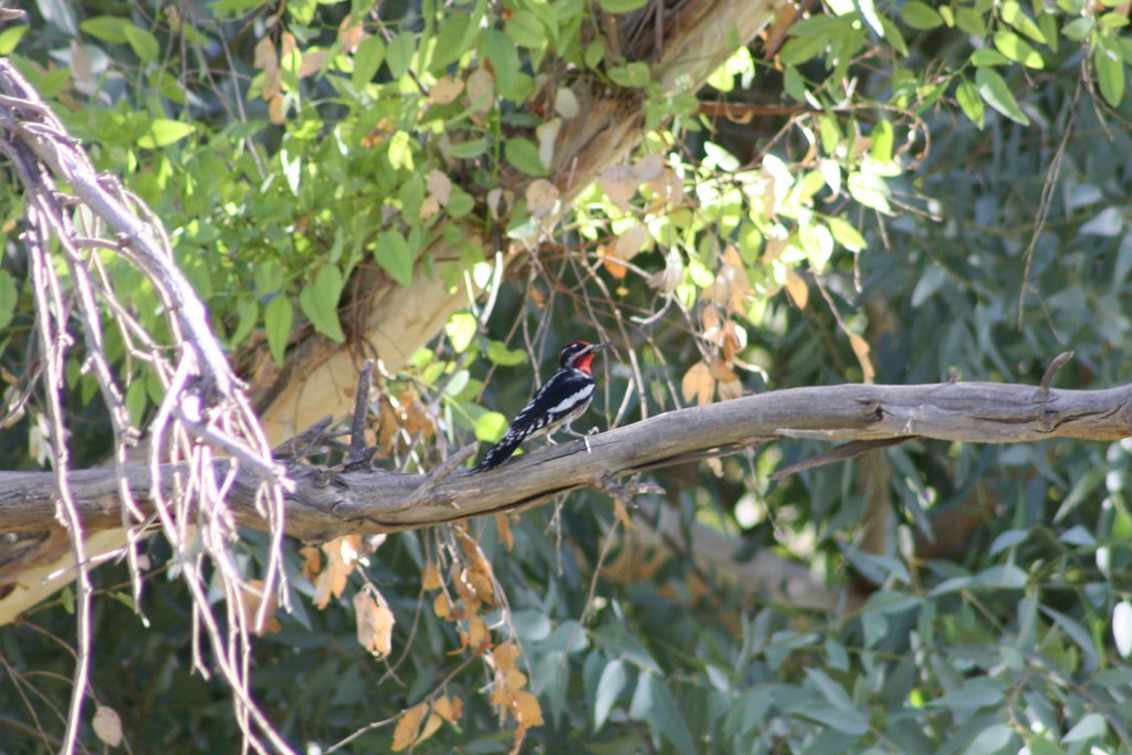
Red-naped Sapsucker (Sphyrapicus nuchalis)

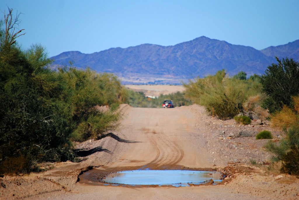
Southwest Road Trip 2014-59

IV Termite and Pest Control
mcdonnell douglas f/a-18a hornet

410 Squadron Hornet

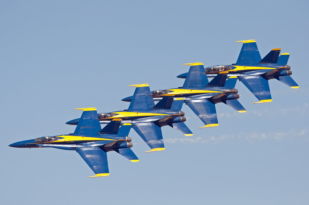
blue angels

mcdonnell douglas f/a-18d hornet
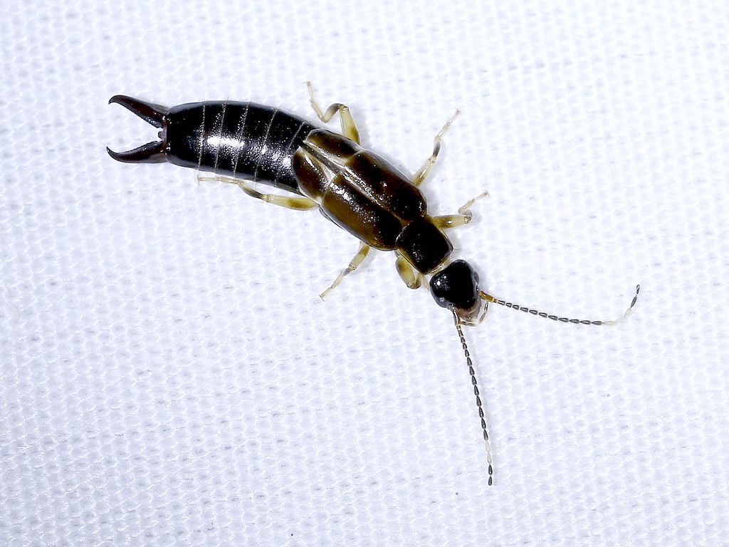
African Earwig (Euborellia cincticollis), New River Wetlands, Imperial County, CA, 7-29-17
blue angels

grumman c-2 greyhound

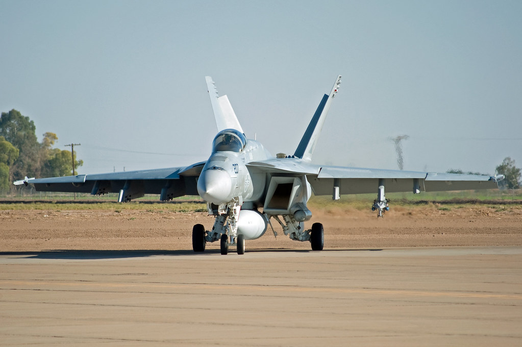
mcdonnell douglas f/a-18d hornet
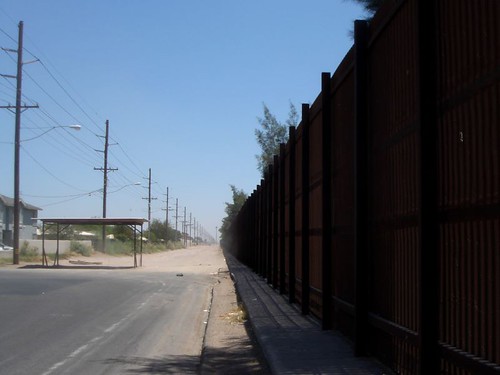
International Border Calexico CA 01
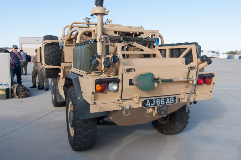
Jackal rear view
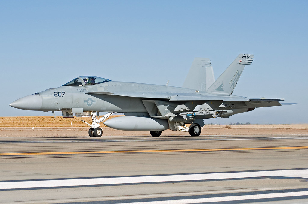
mcdonnell douglas f/a-18d hornet
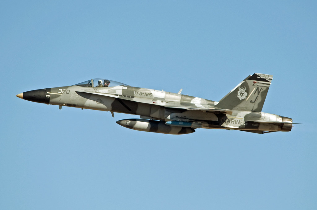
boeing f/a-18e super hornet

mcdonnell douglas f/a-18c hornet
boeing f/a-18e super hornet

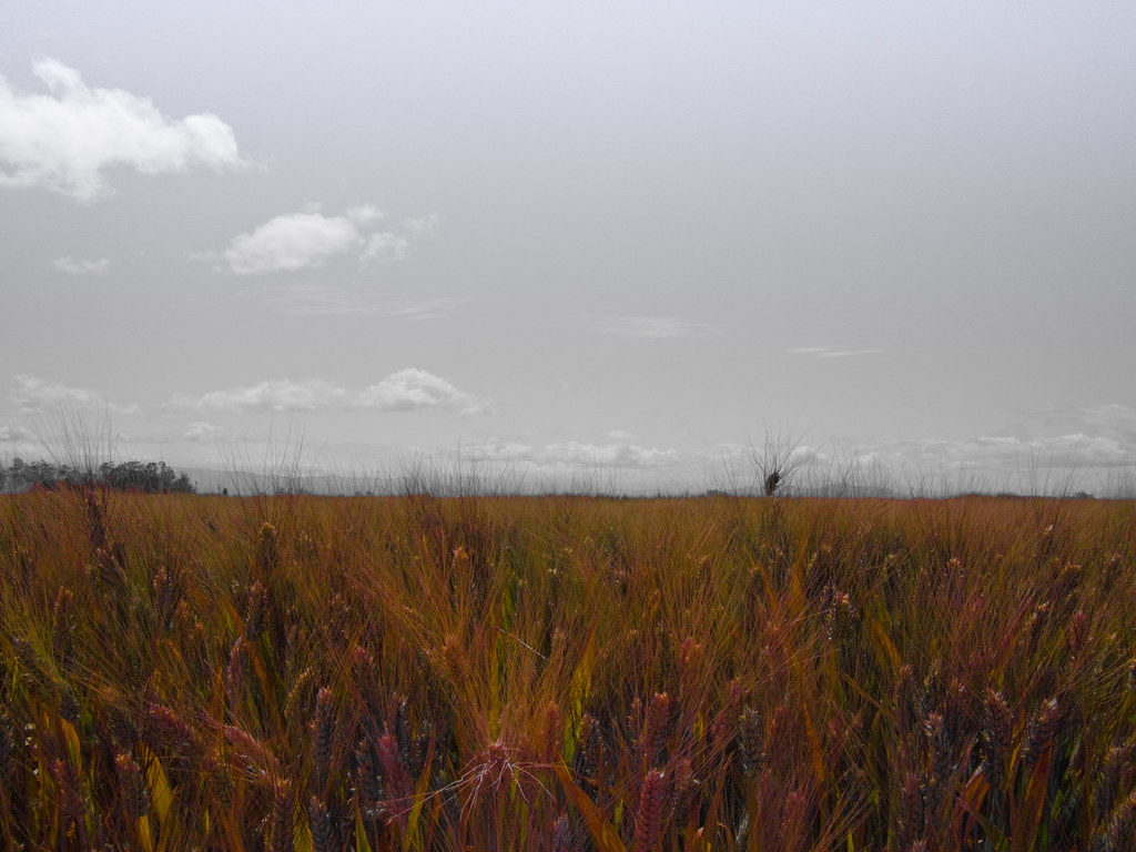
Brittany Hazard, a University of California-Davis doctoral student collecting samples from a wheat field

Dave & Primo's Mexican Adventure (02-23-2012)-140

blue angels

Dave & Primo's Mexican Adventure (02-23-2012)-135
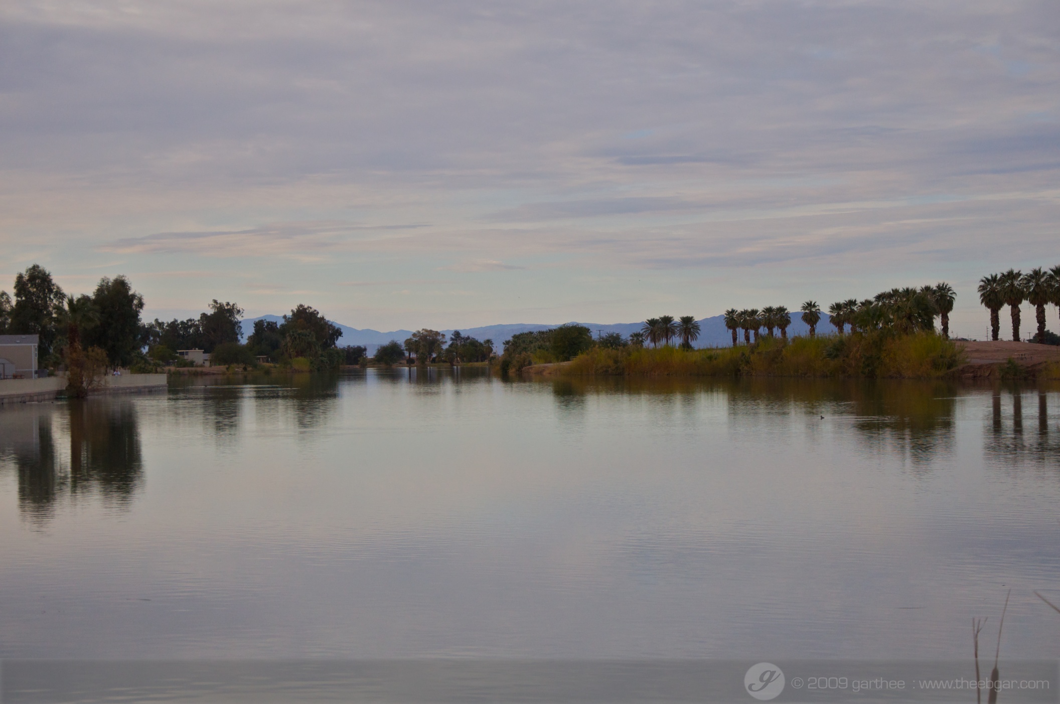
Desert Oasis
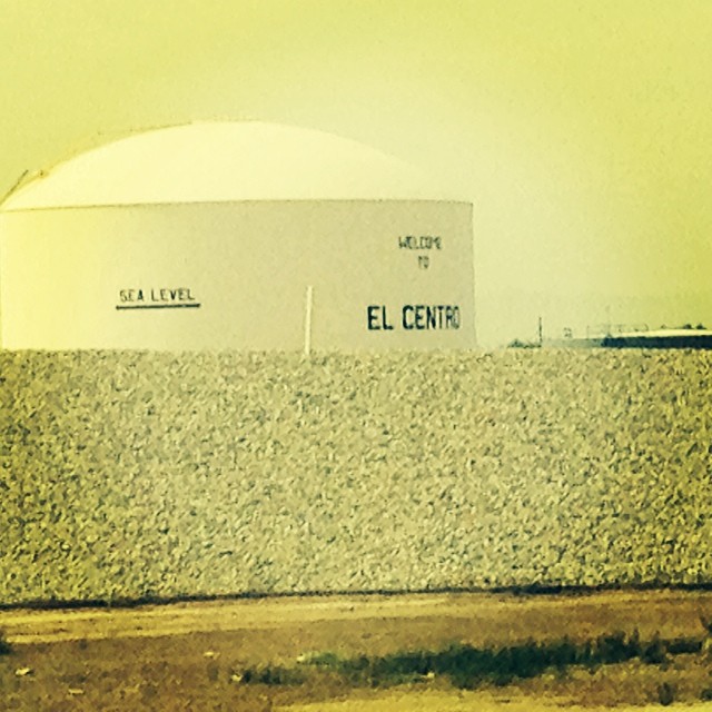
We're 31 feet below sea level.

Dave & Primo's Mexican Adventure (02-23-2012)-133
IMG_2360.jpg
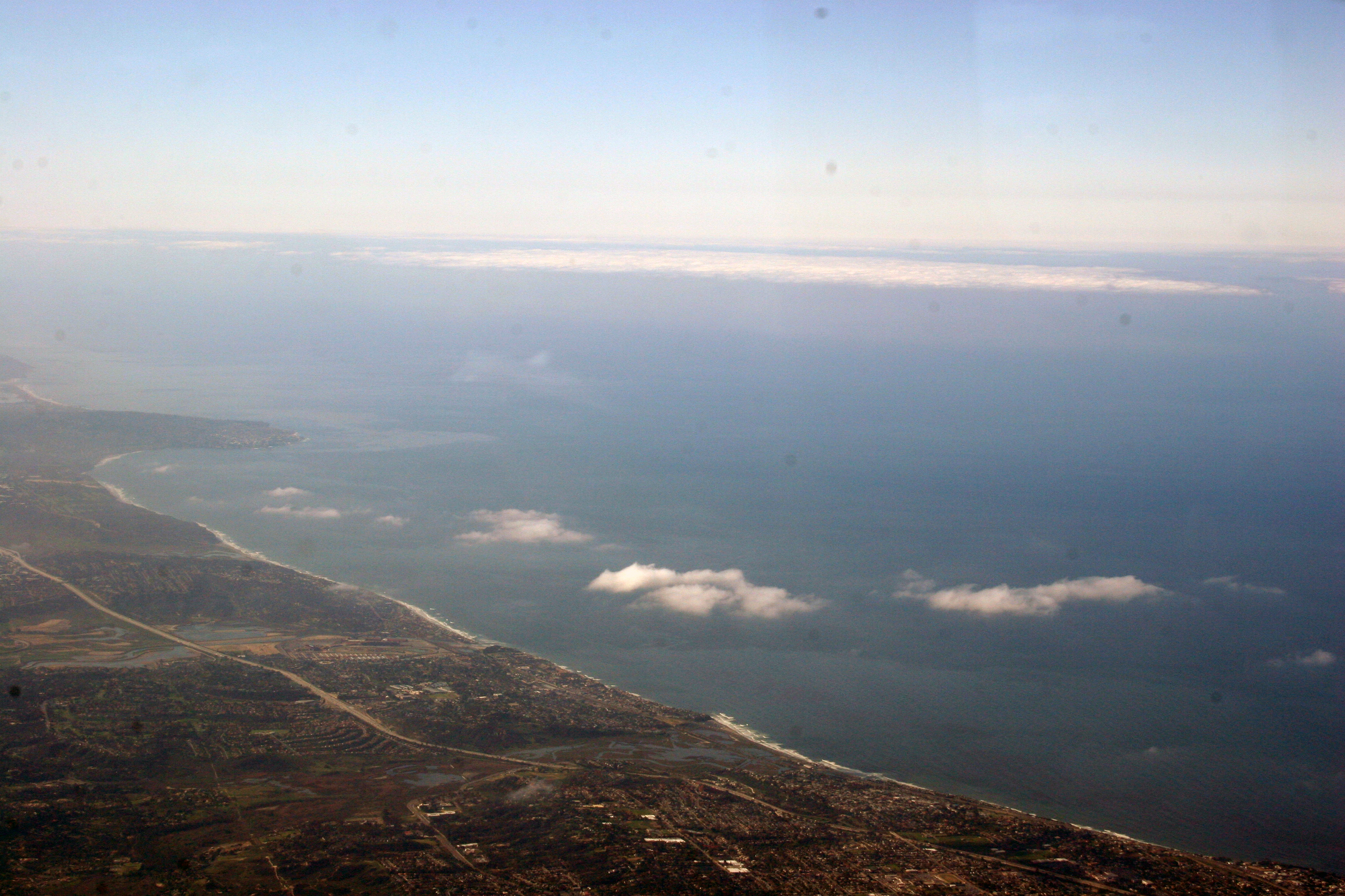
Aerial Photos SD - EC 1976
DSC02512.jpg
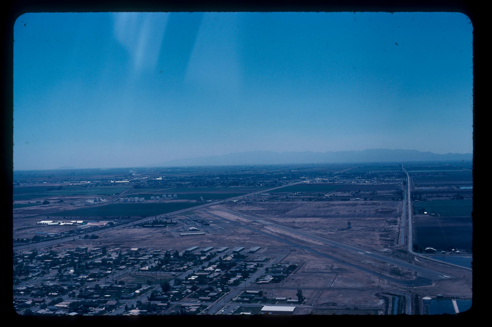
ApSoCal and AzAP members at NAF El Centro 11-17-11
Imperial County
DSC02519.jpg
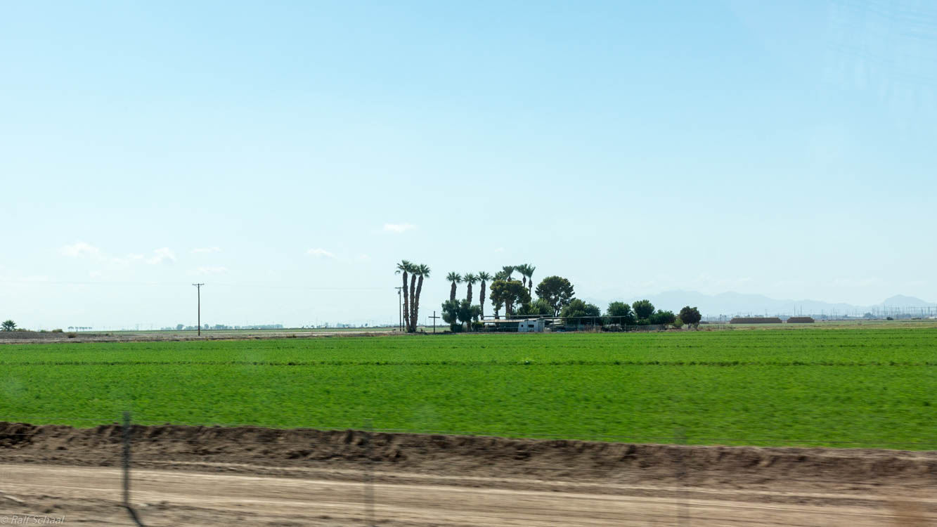
Imperial Valley
winter with Ramos' 40

Western Burrowing Owl, Athene cunicularia hypugaea

Camping at Dos Cabezas Siding in Anza-Borrego Desert State Park.
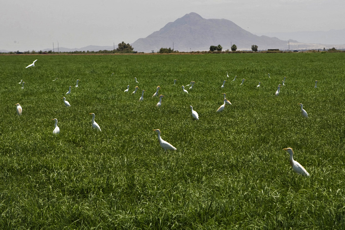
egrets and hay
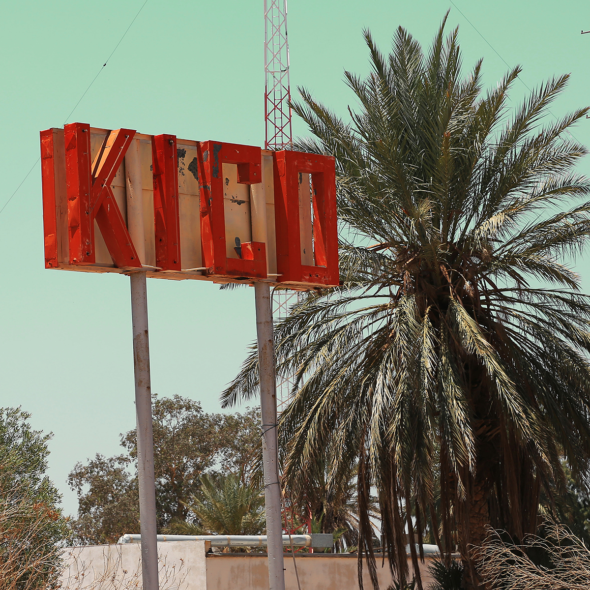
Kiko, Calexico, CA
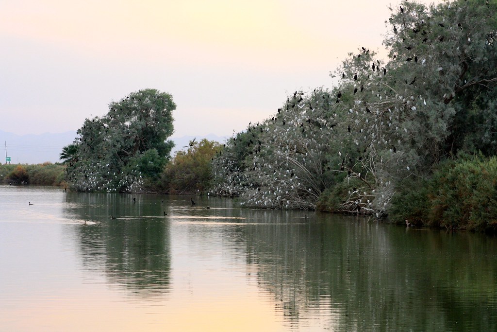
Cattle Egret roosts

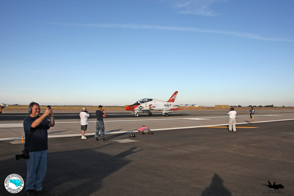
Blue Angels
Topographic Map of Adams Ave, El Centro, CA, USA
Find elevation by address:

Places near Adams Ave, El Centro, CA, USA:
1507 W Barbara Worth Dr
333 S Waterman Ave
El Centro
1855 Main St
1855 Lincoln Ave
1850 Lincoln Ave
2030 N Imperial Ave
1530 S Waterman Ave
Ocotillo Drive
984 Ocotillo Dr
2300 Myrtle Rd
2626 Thomas Dr
625 Tiger Lily Ln
Imperial
1764 Citrus Ln
Imperial Valley College
Heber
Holtville
Holt Rd, Holtville, CA, USA
Recent Searches:
- Elevation of 7 Waterfall Way, Tomball, TX, USA
- Elevation of SW 57th Ave, Portland, OR, USA
- Elevation of Crocker Dr, Vacaville, CA, USA
- Elevation of Pu Ngaol Community Meeting Hall, HWHM+3X7, Krong Saen Monourom, Cambodia
- Elevation of Royal Ontario Museum, Queens Park, Toronto, ON M5S 2C6, Canada
- Elevation of Groblershoop, South Africa
- Elevation of Power Generation Enterprises | Industrial Diesel Generators, Oak Ave, Canyon Country, CA, USA
- Elevation of Chesaw Rd, Oroville, WA, USA
- Elevation of N, Mt Pleasant, UT, USA
- Elevation of 6 Rue Jules Ferry, Beausoleil, France