Elevation of Thomas Dr, El Centro, CA, USA
Location: United States > California > Imperial County > El Centro >
Longitude: -115.55783
Latitude: 32.7696417
Elevation: -9m / -30feet
Barometric Pressure: 101KPa
Elevation Map:
Satellite Map:
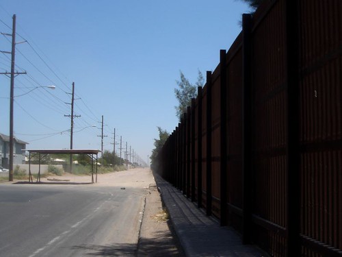
Related Photos:

Vermilion Flycatcher (Pyrocephalus rubinus)

Termite (Sign on Building)

IV Termite and Pest Control

blue angels

USN Blue Angels @ NAF El Centro

View from the Brewery mexicali (Cervecería de Mexicali) [ChalonTrece]

blue angels

410 Squadron Hornet

African Earwig (Euborellia cincticollis), New River Wetlands, Imperial County, CA, 7-29-17

F/A-18 Super Hornet VFA-122 Demo Team @ NAF El Centro

grumman c-2 greyhound

VFA - 106 Gladiators

blue angels

mcdonnell douglas f/a-18d hornet

mcdonnell douglas f/a-18d hornet
International Border Calexico CA 01

Jackal rear view

mcdonnell douglas f/a-18a hornet

Brawley CA Spreckels (# 0567)

boeing f/a-18e super hornet

VFA - 125 bomber take off

Dave & Primo's Mexican Adventure (02-23-2012)-140

blue angels

Dave & Primo's Mexican Adventure (02-23-2012)-135

Mt. Signal
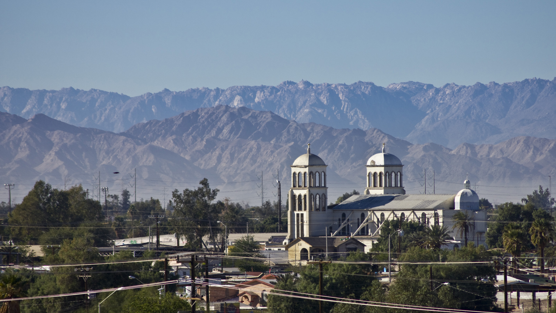
Templo de San Antonio

Urban Landscape

Mexicali, Mexico

Aisla y Ahorra Asi
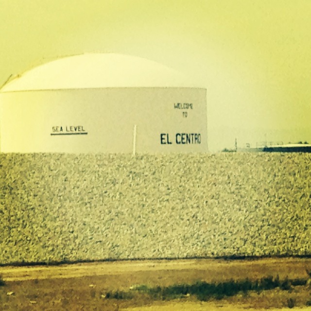
We're 31 feet below sea level.

Dave & Primo's Mexican Adventure (02-23-2012)-133
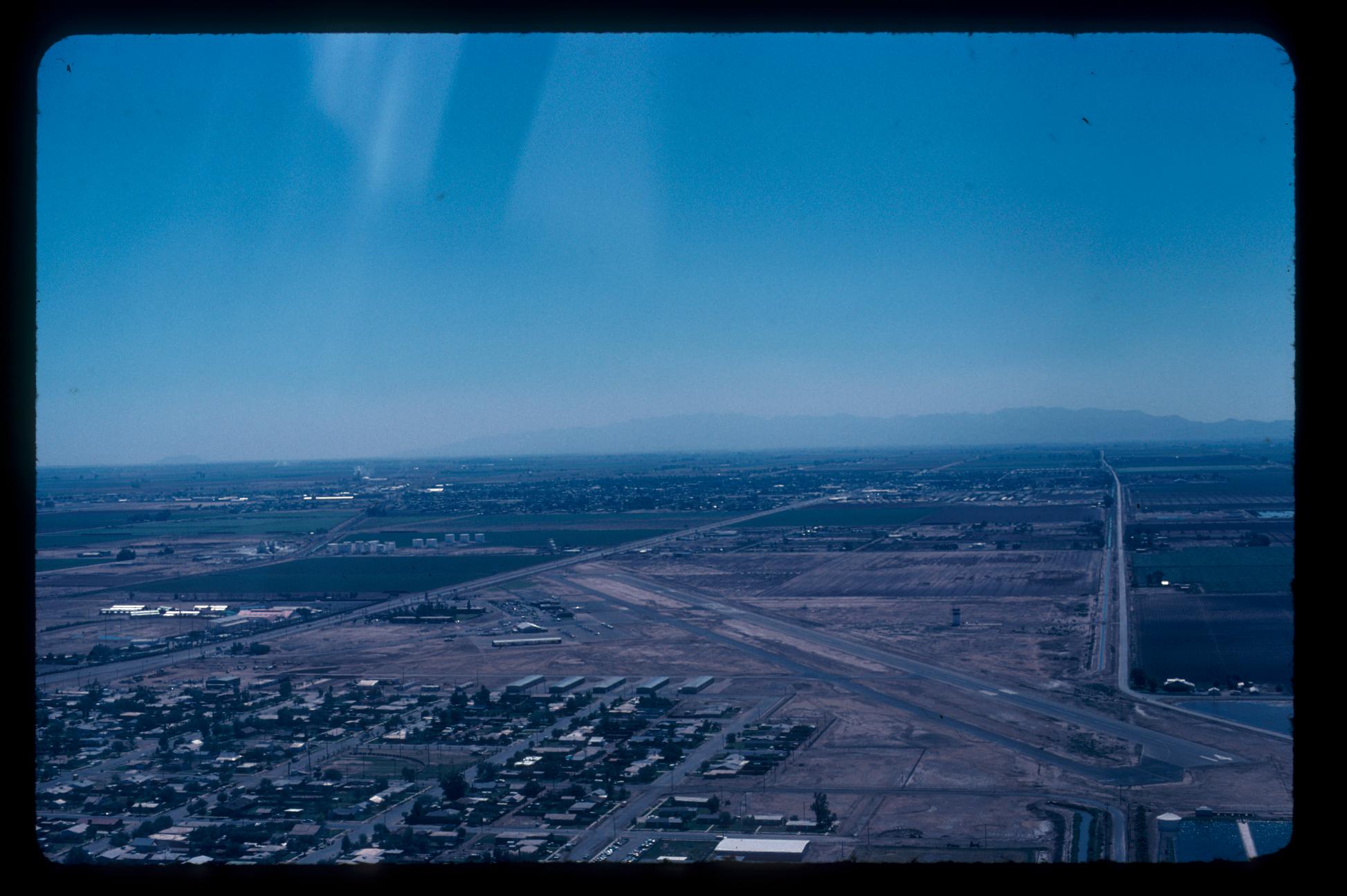
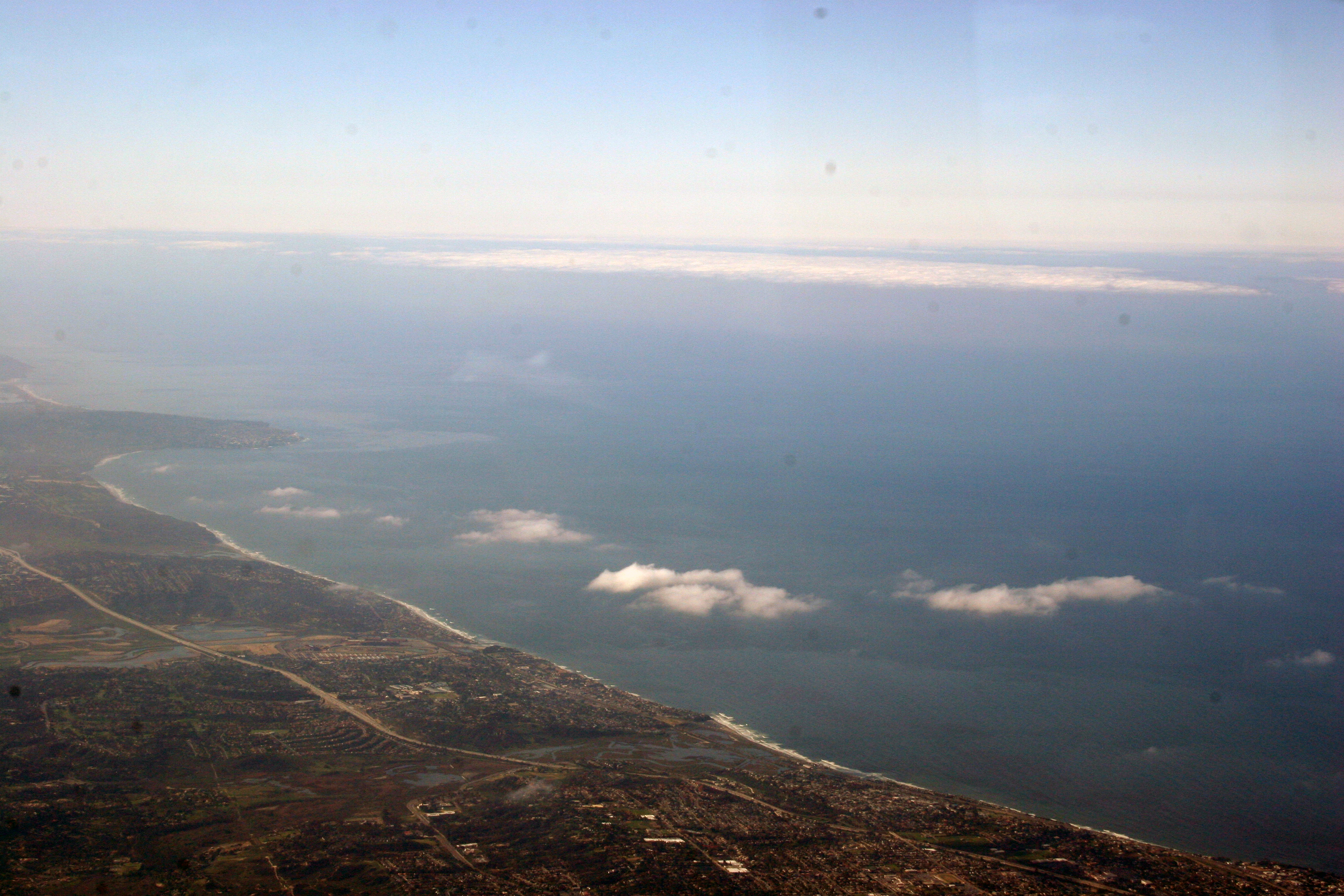
Aerial Photos SD - EC 1976

Imperial County

cerro del centinela
IMG_2360.jpg
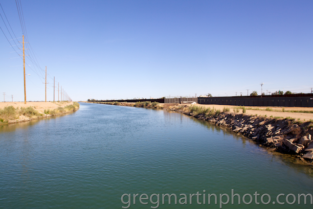
The All American Canal runs parallel to the Mexico California border for several miles. With over 500 people having drowned in the canal since 1997, it has been called "the Most Dangerous Body of Water in the U.S."

Western Burrowing Owl, Athene cunicularia hypugaea
DSC02519.jpg

Recorrido e Inspección de Obra por parte de la Dirección de Obras Públicas Municipales
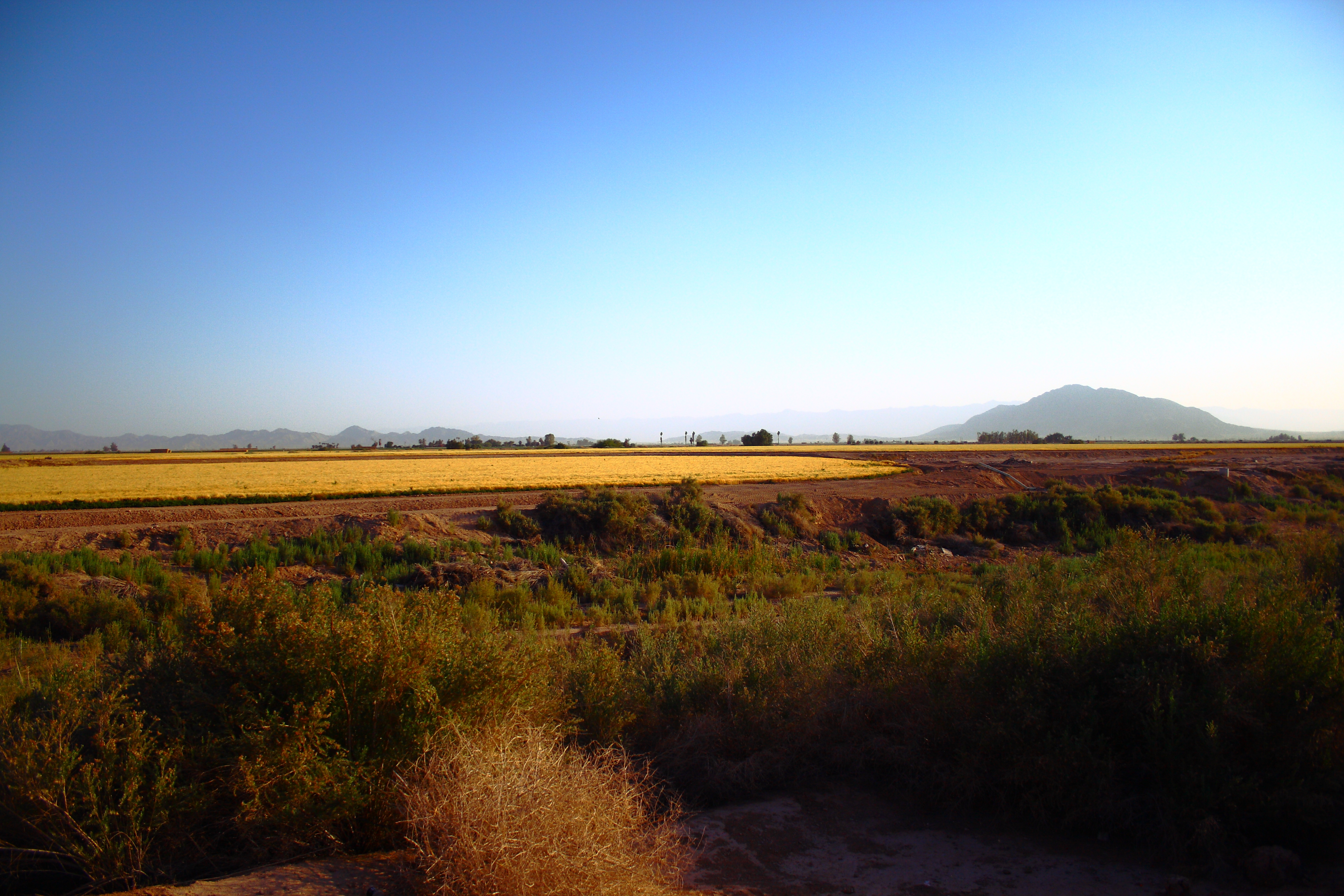
Imperial Valley

Western Burrowing Owl, Athene cunicularia hypugaea
Topographic Map of Thomas Dr, El Centro, CA, USA
Find elevation by address:

Places near Thomas Dr, El Centro, CA, USA:
984 Ocotillo Dr
Ocotillo Drive
1530 S Waterman Ave
El Centro
333 S Waterman Ave
1507 W Barbara Worth Dr
1855 Main St
1498 Adams Ave
1764 Citrus Ln
1855 Lincoln Ave
1850 Lincoln Ave
2030 N Imperial Ave
Heber
2300 Myrtle Rd
625 Tiger Lily Ln
Imperial
Imperial Valley College
Holtville
Holt Rd, Holtville, CA, USA
Recent Searches:
- Elevation of 7 Waterfall Way, Tomball, TX, USA
- Elevation of SW 57th Ave, Portland, OR, USA
- Elevation of Crocker Dr, Vacaville, CA, USA
- Elevation of Pu Ngaol Community Meeting Hall, HWHM+3X7, Krong Saen Monourom, Cambodia
- Elevation of Royal Ontario Museum, Queens Park, Toronto, ON M5S 2C6, Canada
- Elevation of Groblershoop, South Africa
- Elevation of Power Generation Enterprises | Industrial Diesel Generators, Oak Ave, Canyon Country, CA, USA
- Elevation of Chesaw Rd, Oroville, WA, USA
- Elevation of N, Mt Pleasant, UT, USA
- Elevation of 6 Rue Jules Ferry, Beausoleil, France