Elevation of Sedalia, KY, USA
Location: United States > Kentucky > Graves County >
Longitude: -88.605241
Latitude: 36.641274
Elevation: 156m / 512feet
Barometric Pressure: 99KPa
Elevation Map:
Satellite Map:
Related Photos:
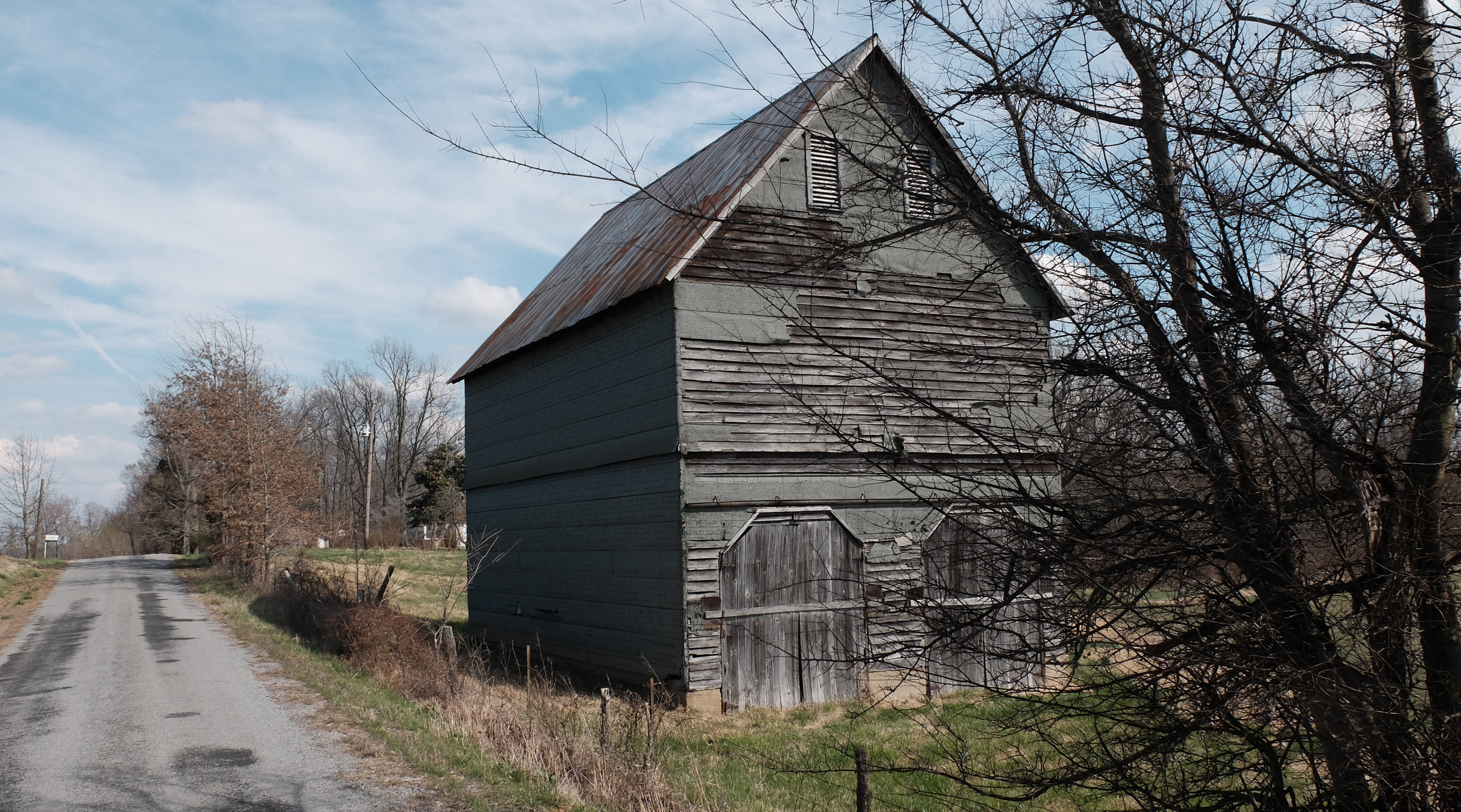
Wingo Barn X30

Golden bales

4:41 PM

Lovely Sunset

1st Baptist
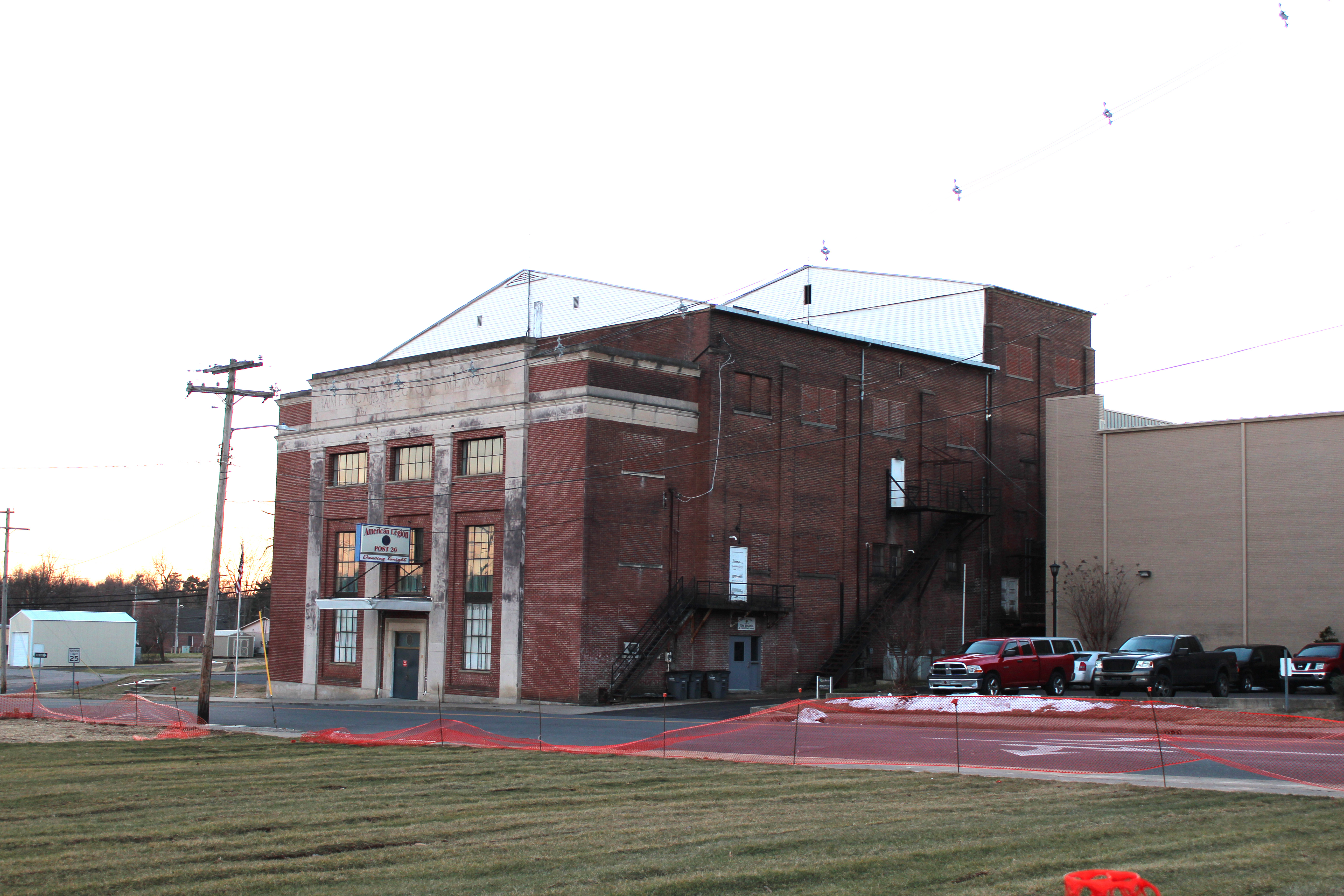
Legion Theatre

KN Root Beer
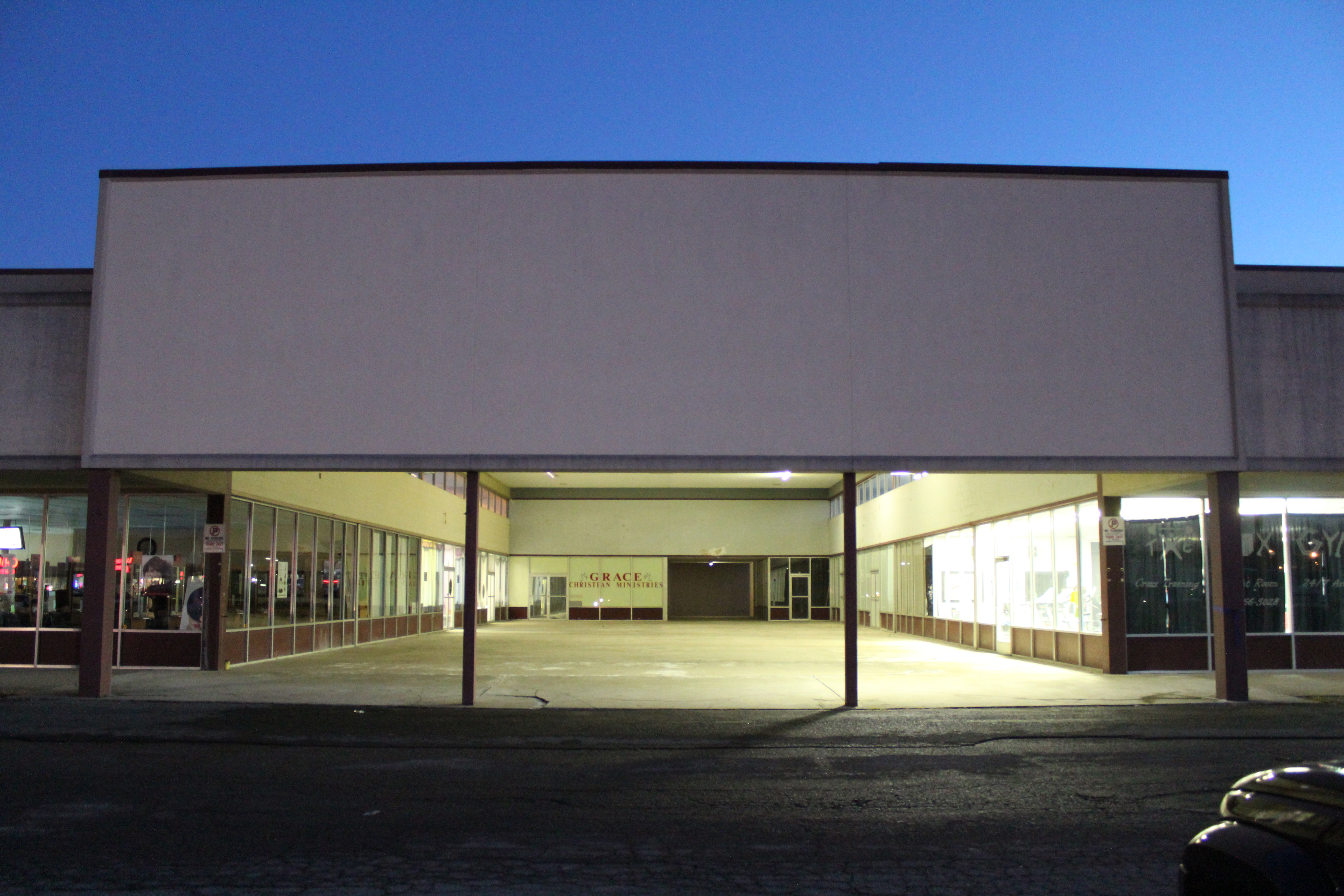
Mayfield Plaza arcade
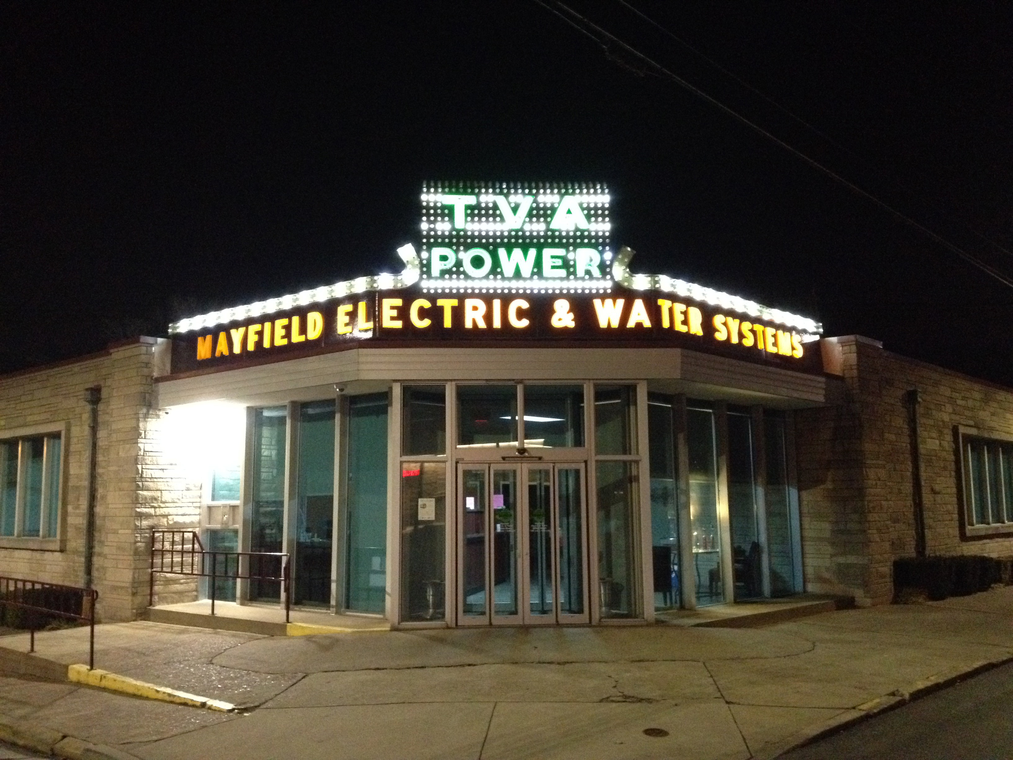
TVA at night

TVA sign detail

20150718-IMG_0414

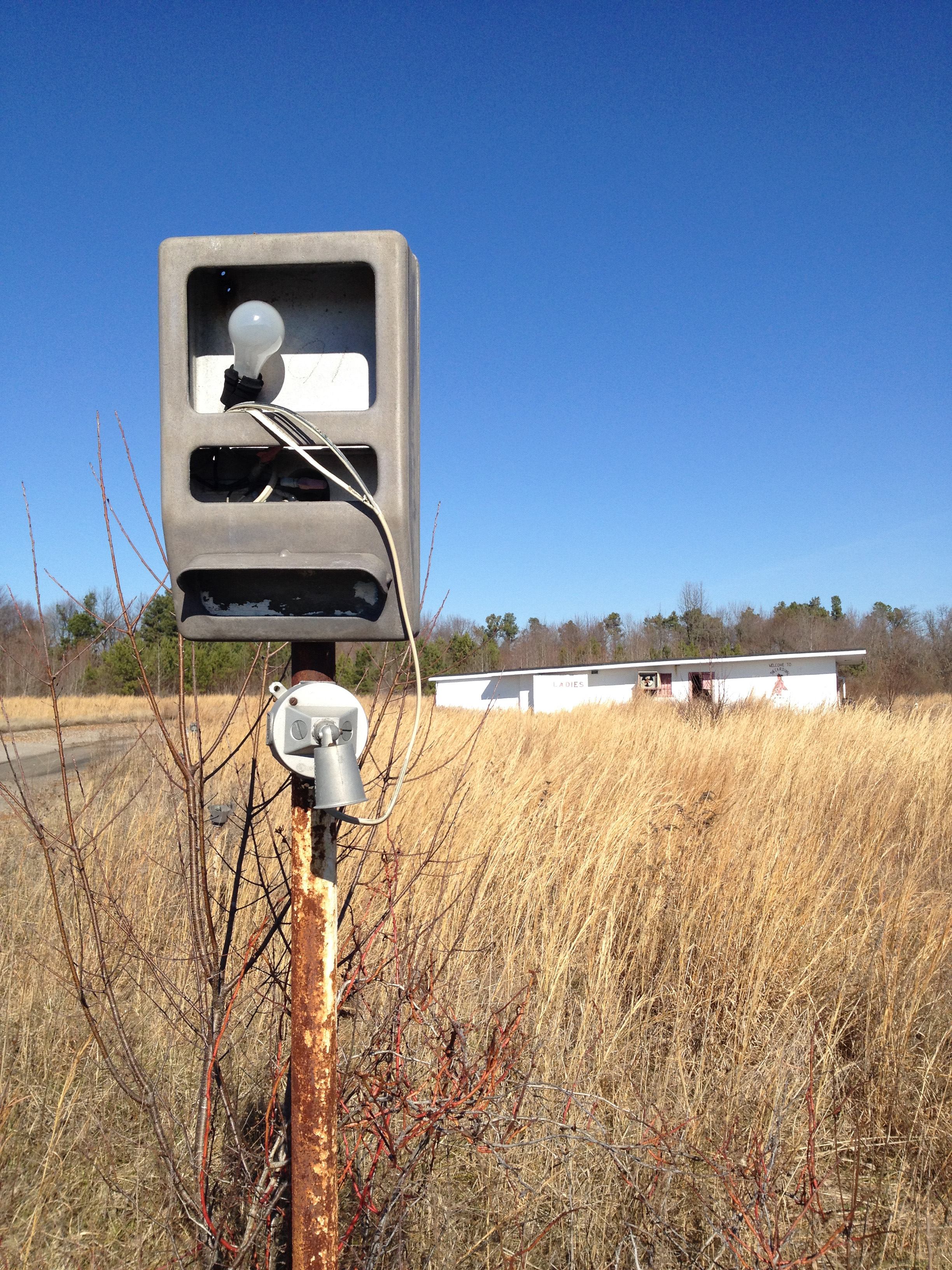
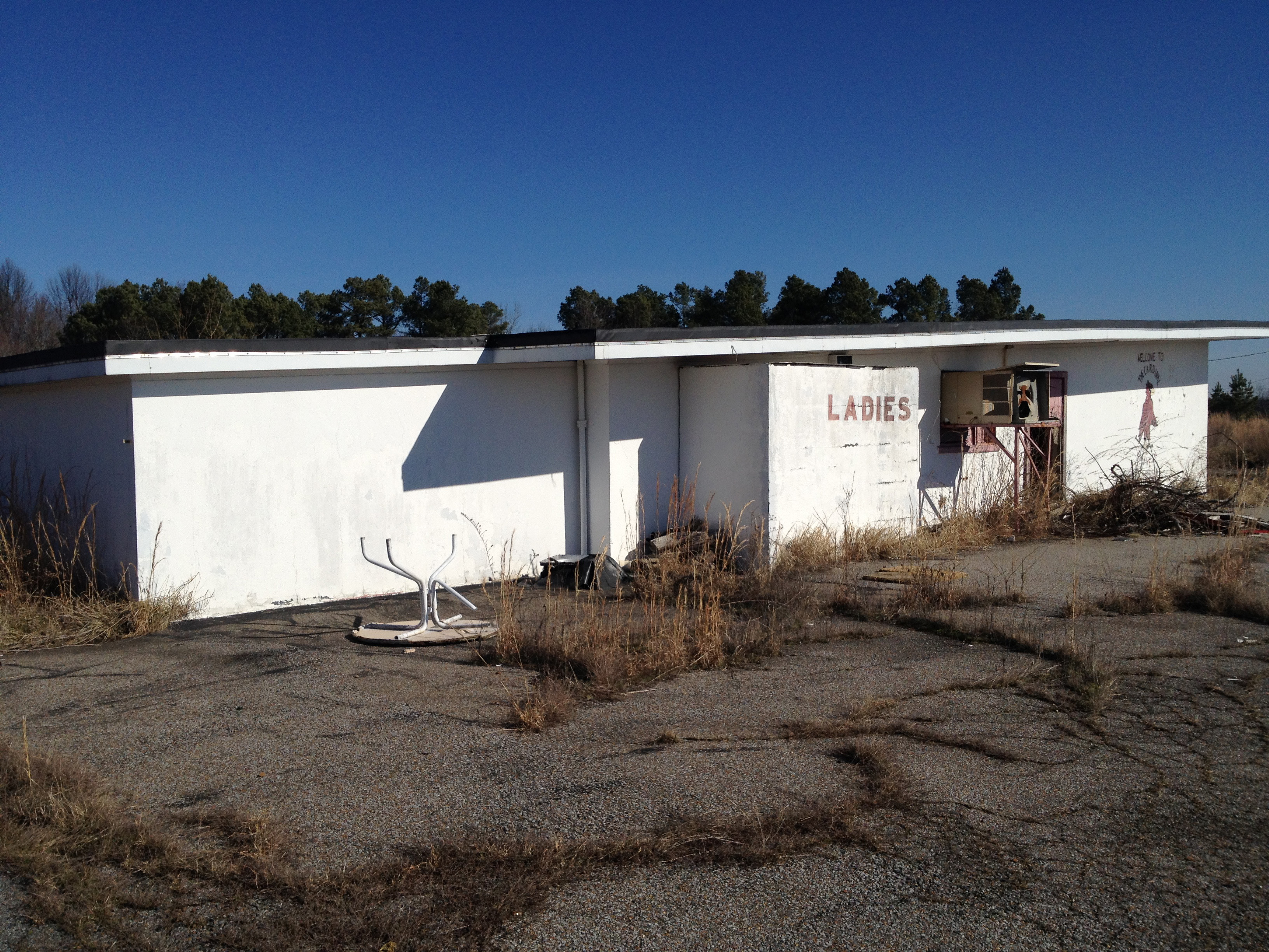
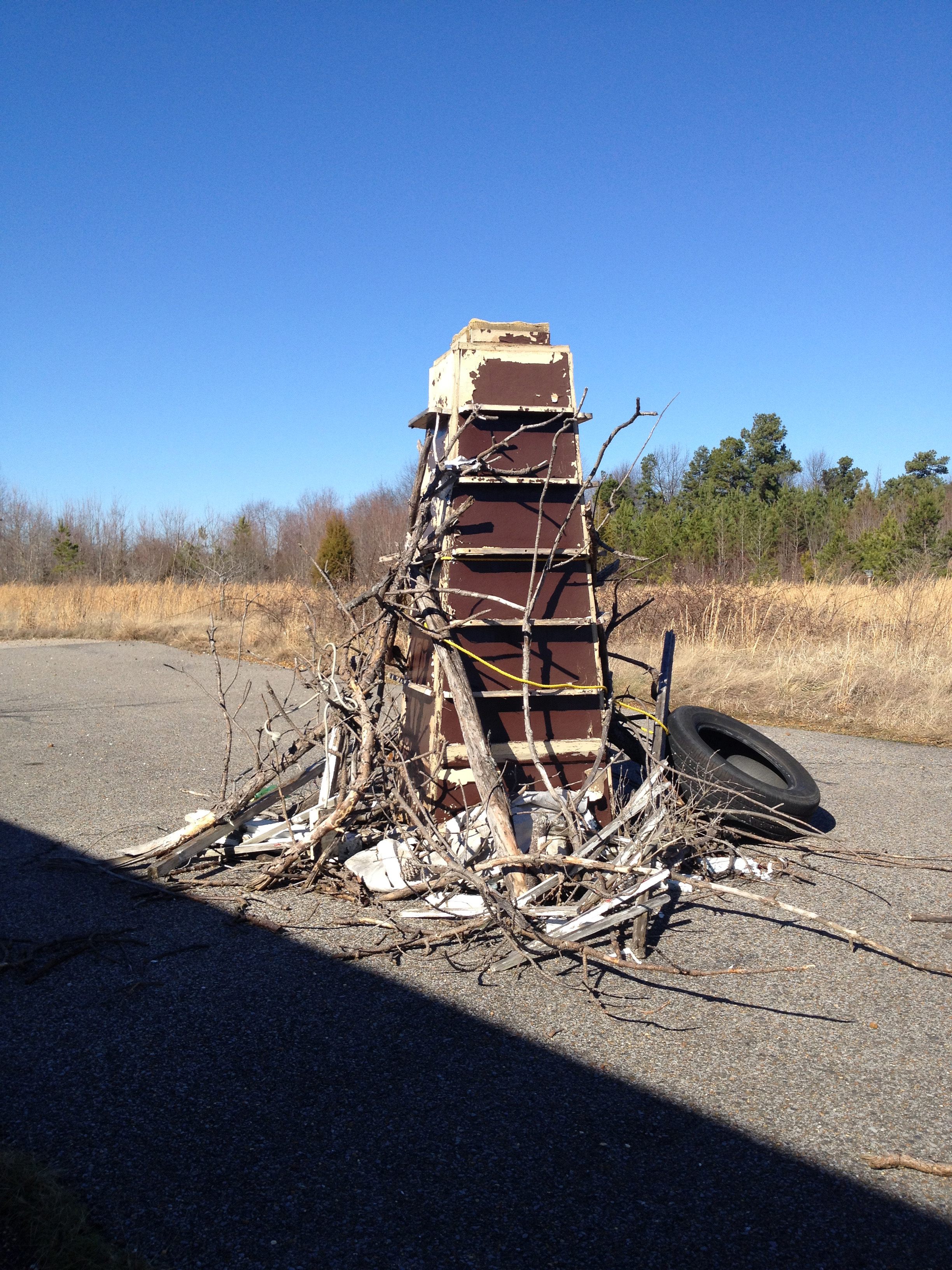
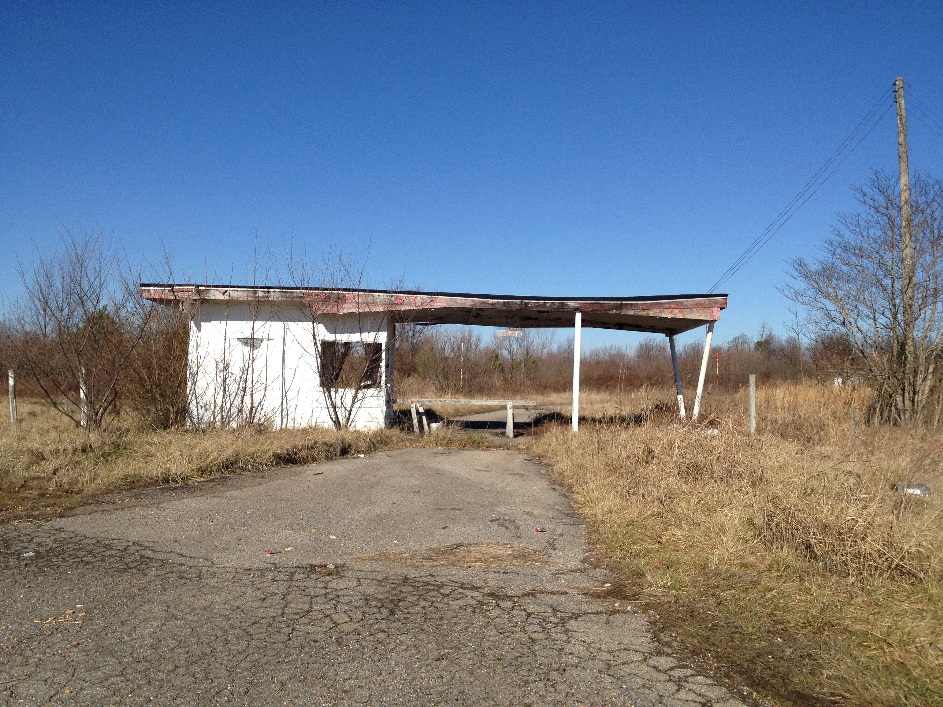
Cardinal Drive-In
Cardinal Drive-In
Cardinal Drive-In
Cardinal Drive-In
Cardinal Drive-In

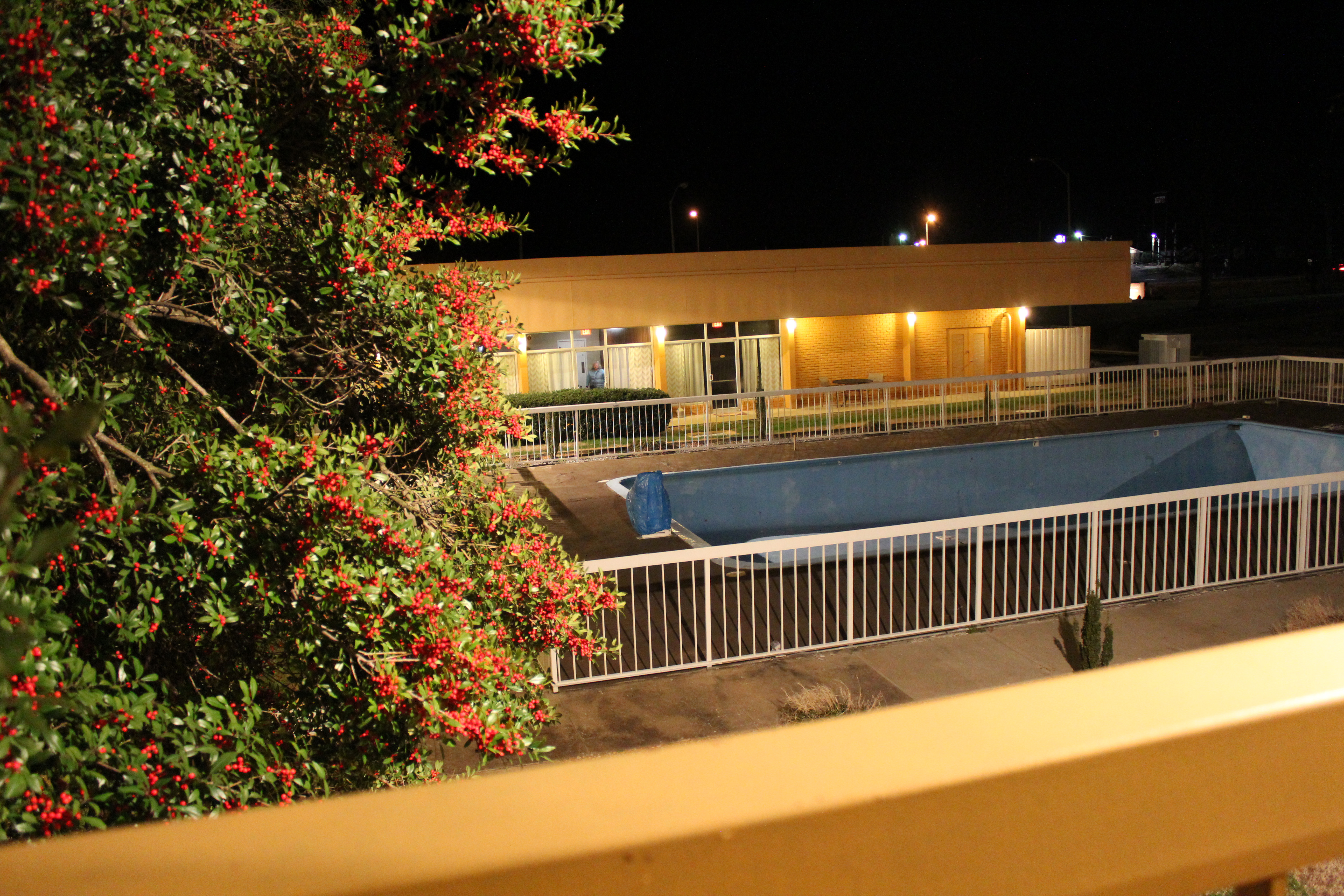
Wingfield Inn

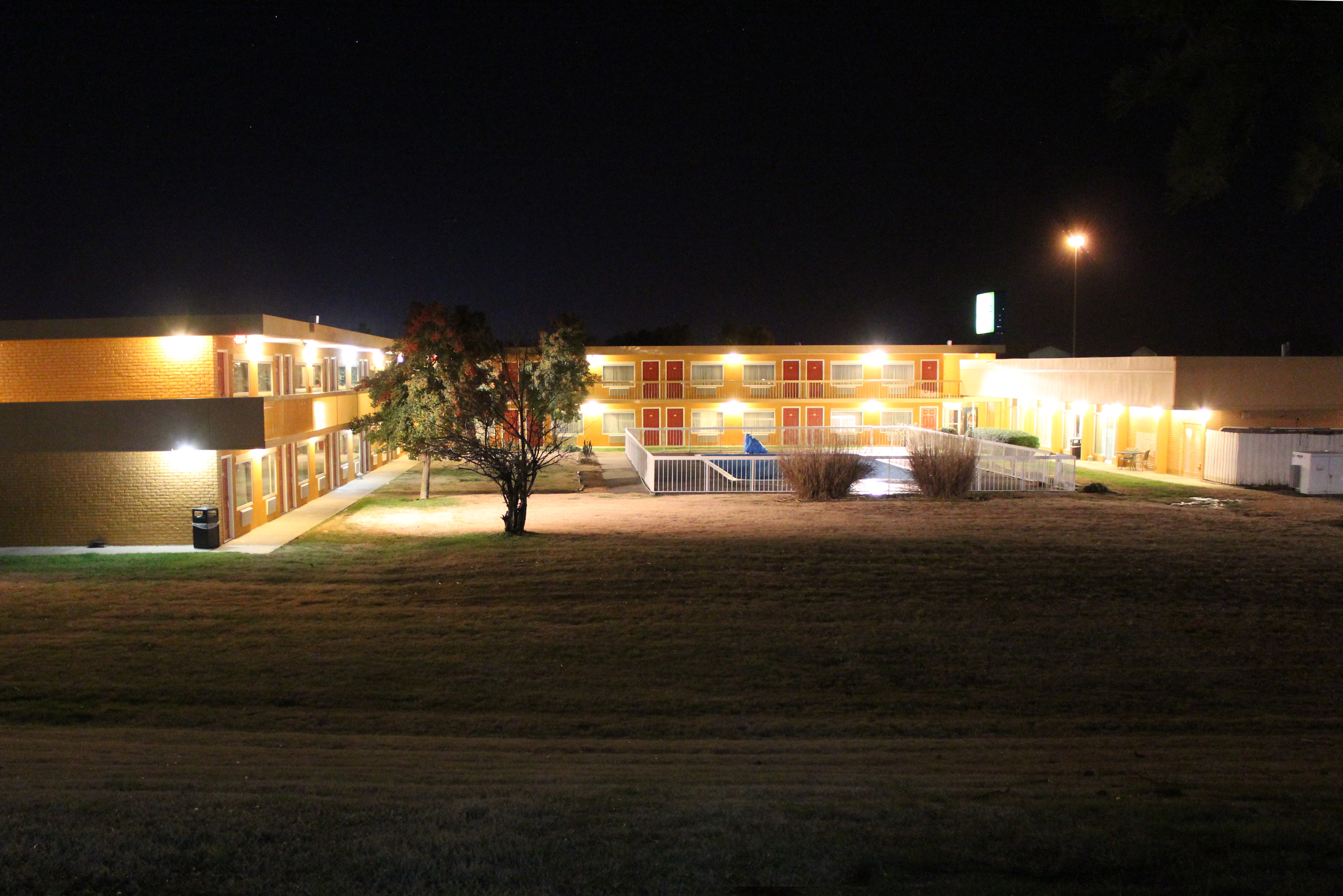
Wingfield Inn
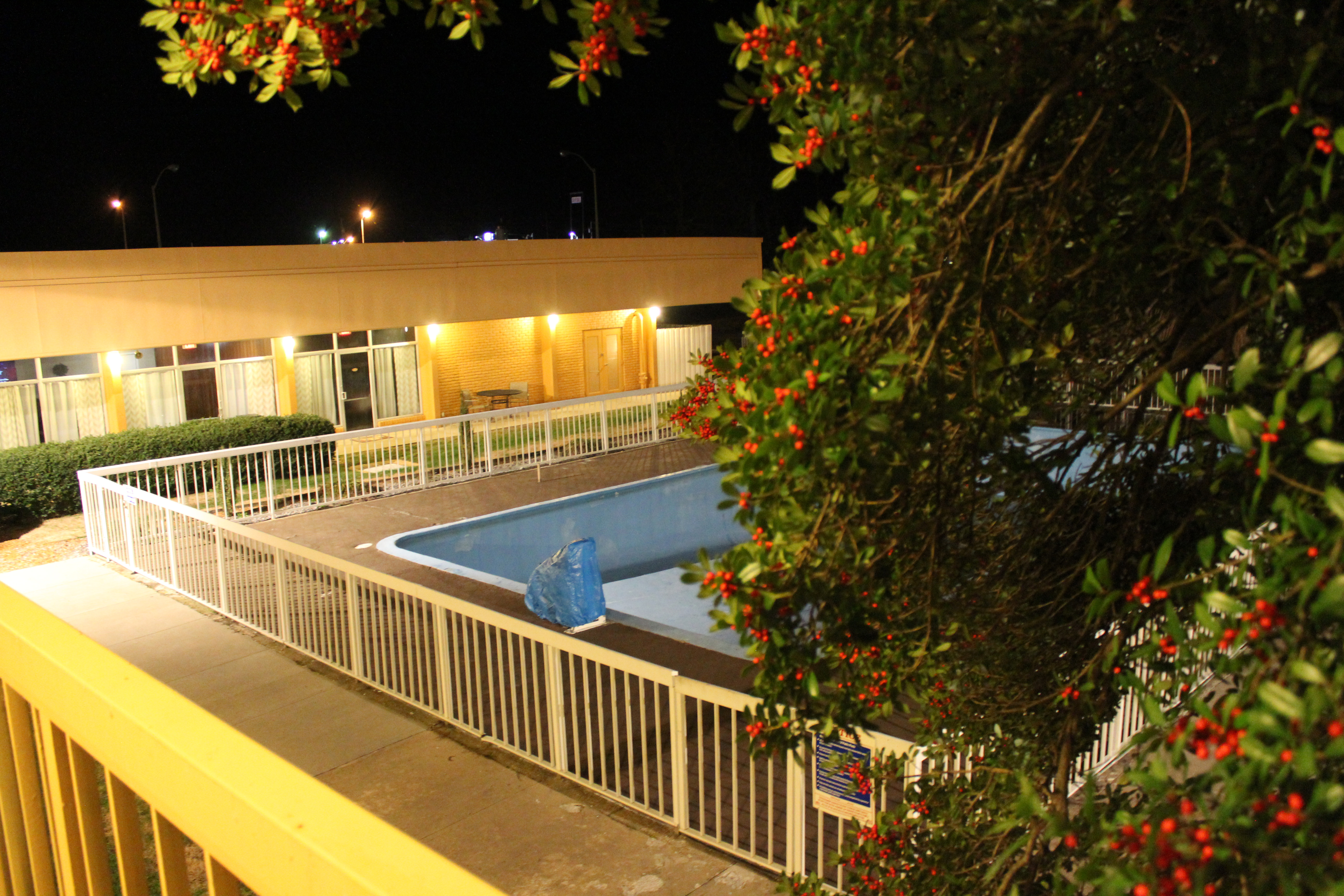
Wingfield Inn
Wingfield Inn
Wingfield Inn

Wingfield Inn
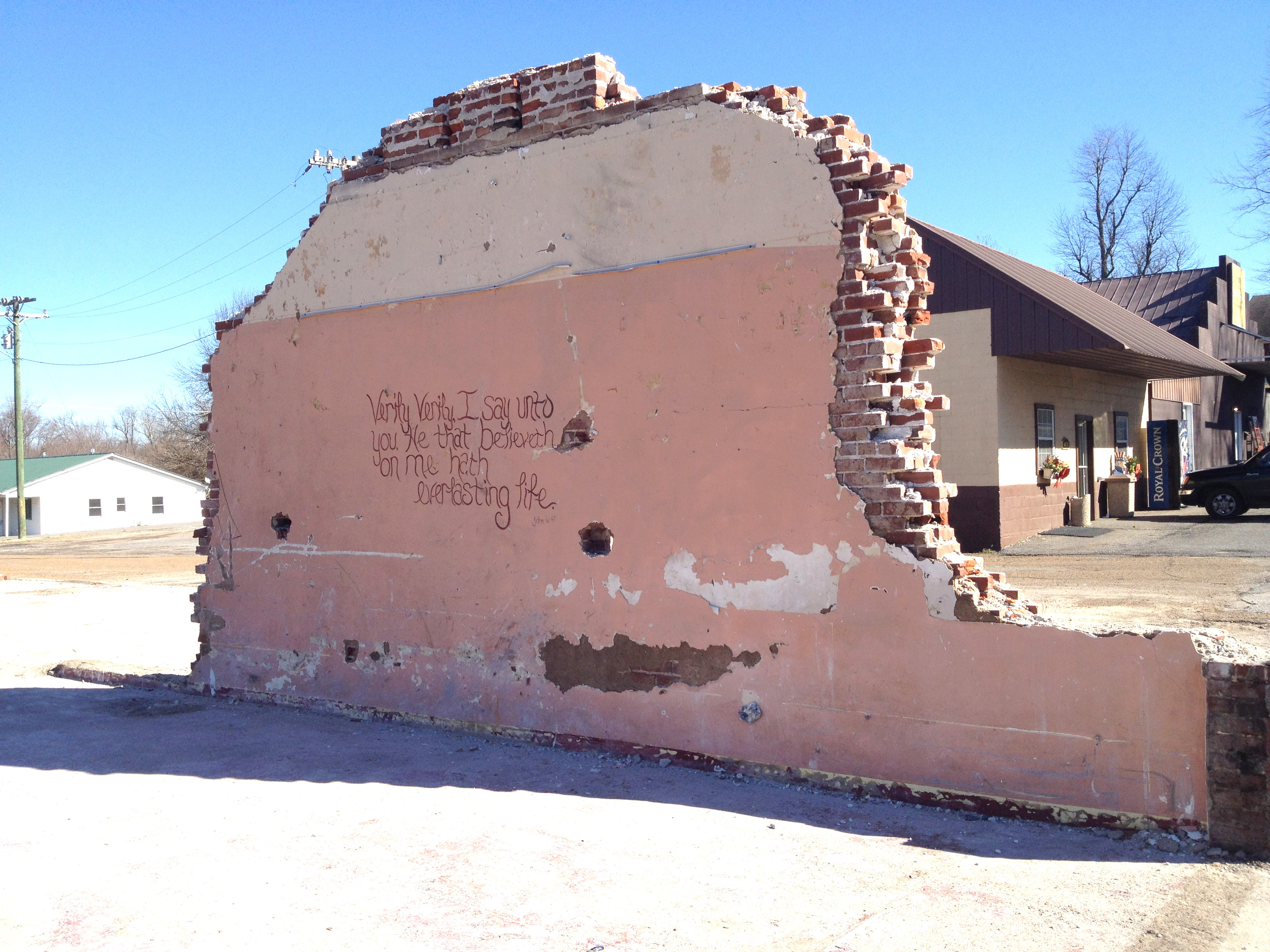
Demolition gospel
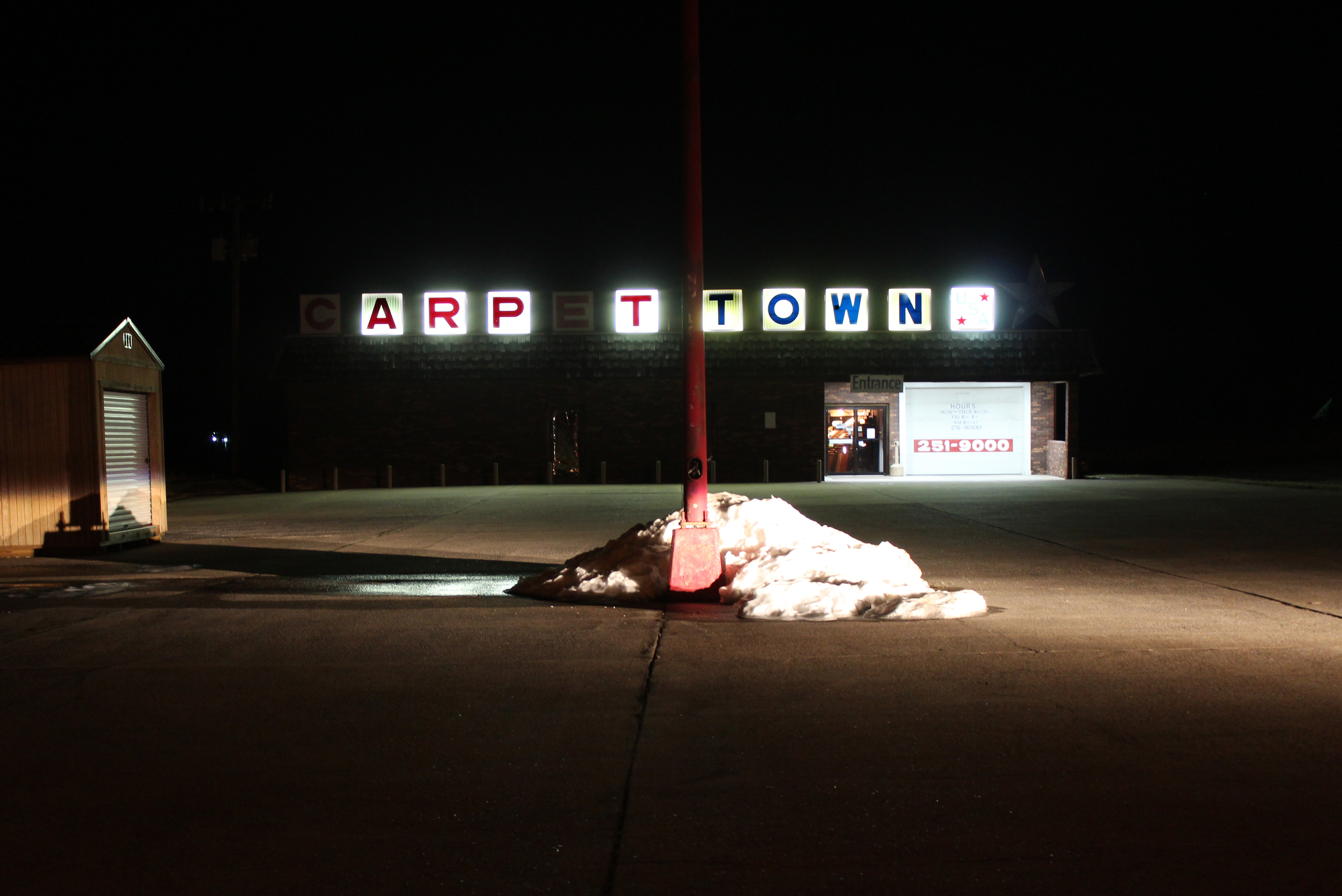
Carpet Town

Graves County courthouse
Topographic Map of Sedalia, KY, USA
Find elevation by address:

Places in Sedalia, KY, USA:
Places near Sedalia, KY, USA:
KY-97, Mayfield, KY, USA
489 Ky-381
489 Ky-381
489 Ky-381
489 Ky-381
489 Ky-381
489 Ky-381
489 Ky-381
489 Ky-381
489 Ky-381
489 Ky-381
189 Pleasure Dr
1661 Central Rd
High Point Baptist Church
U.s. 45
1220 Pritchard Rd
Mayfield, KY, USA
145 Bel Aire Dr
Graves County
Wingo
Recent Searches:
- Elevation of 7 Waterfall Way, Tomball, TX, USA
- Elevation of SW 57th Ave, Portland, OR, USA
- Elevation of Crocker Dr, Vacaville, CA, USA
- Elevation of Pu Ngaol Community Meeting Hall, HWHM+3X7, Krong Saen Monourom, Cambodia
- Elevation of Royal Ontario Museum, Queens Park, Toronto, ON M5S 2C6, Canada
- Elevation of Groblershoop, South Africa
- Elevation of Power Generation Enterprises | Industrial Diesel Generators, Oak Ave, Canyon Country, CA, USA
- Elevation of Chesaw Rd, Oroville, WA, USA
- Elevation of N, Mt Pleasant, UT, USA
- Elevation of 6 Rue Jules Ferry, Beausoleil, France