Elevation of KY-, Sedalia, KY, USA
Location: United States > Kentucky > Graves County > Sedalia >
Longitude: -88.603060
Latitude: 36.6344303
Elevation: 157m / 515feet
Barometric Pressure: 99KPa
Elevation Map:
Satellite Map:
Related Photos:
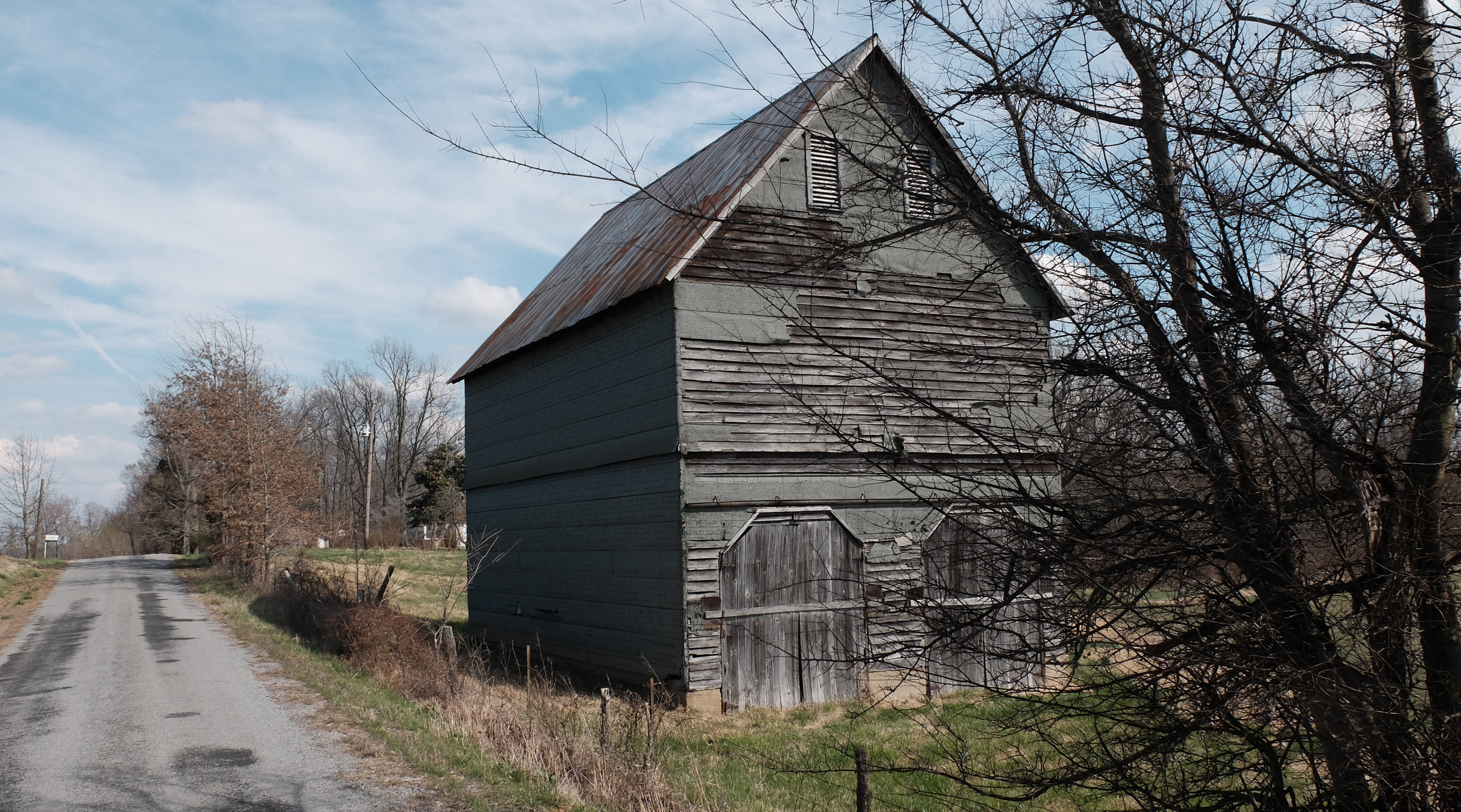
Wingo Barn X30

Golden bales

Lovely Sunset
Shooting Skeet

Vintage High Chair

7.5 Healthcare McConnell Action

Foster Lane - Graves County, Kentucky

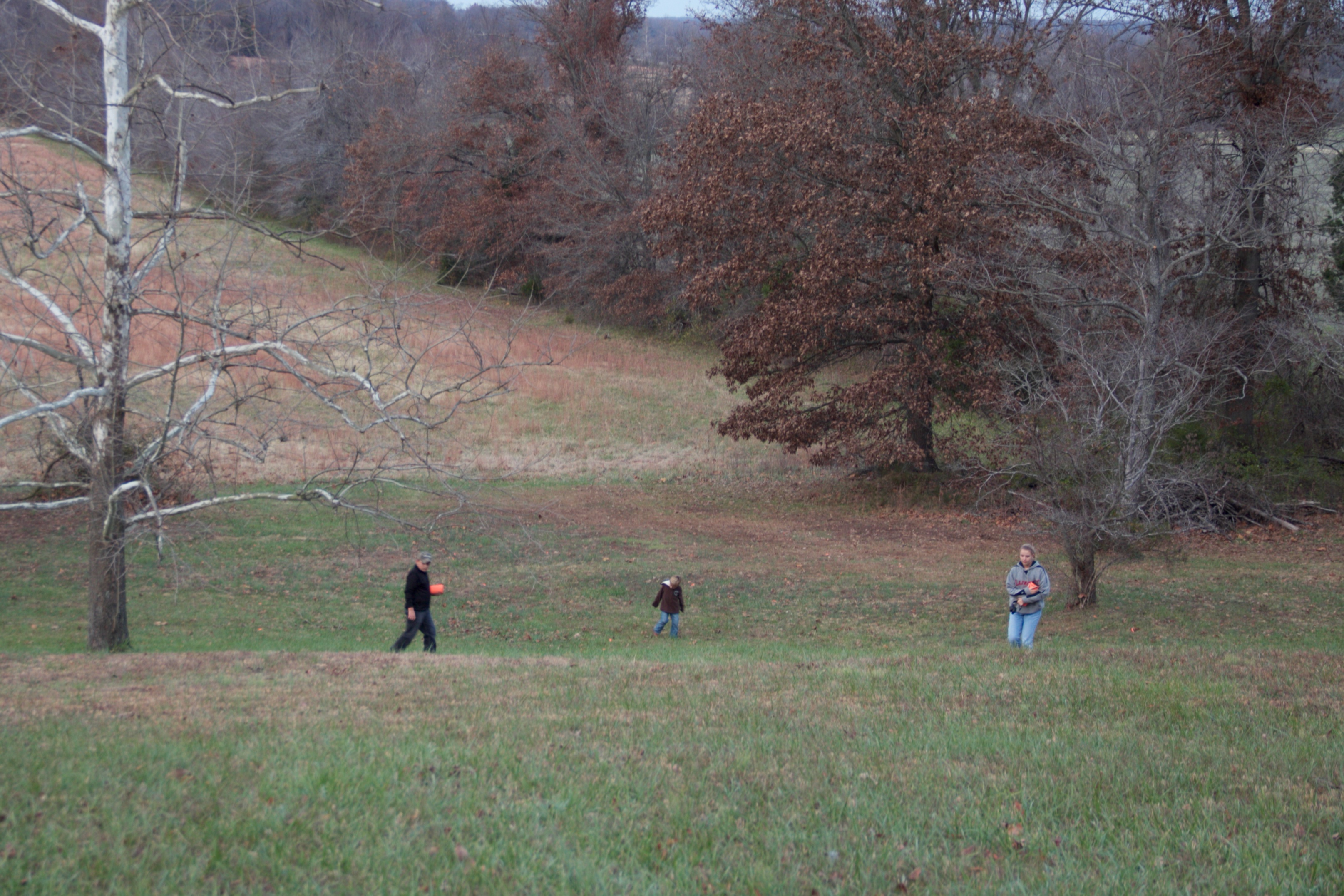
Shooting Skeet

DSC_9434 copy

DSC_9932 copy

DSC_9764 copy

DSC_9736 copy

DSC_9428 copy

DSC_9368 copy

Helper Flash

4:41 PM

Boy at Theatre
Mayfield, KY
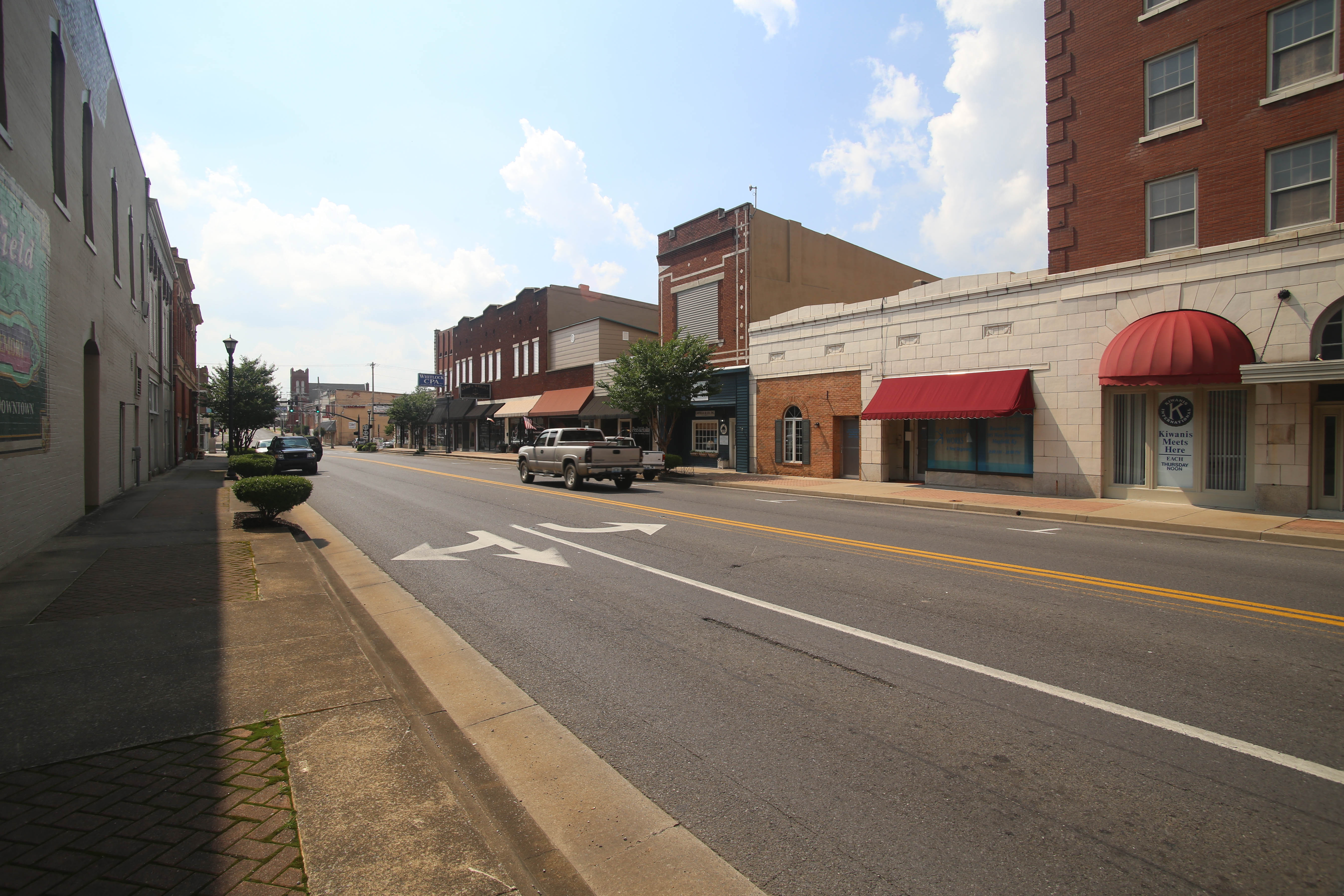
Mayfield, KY
Mayfield, KY
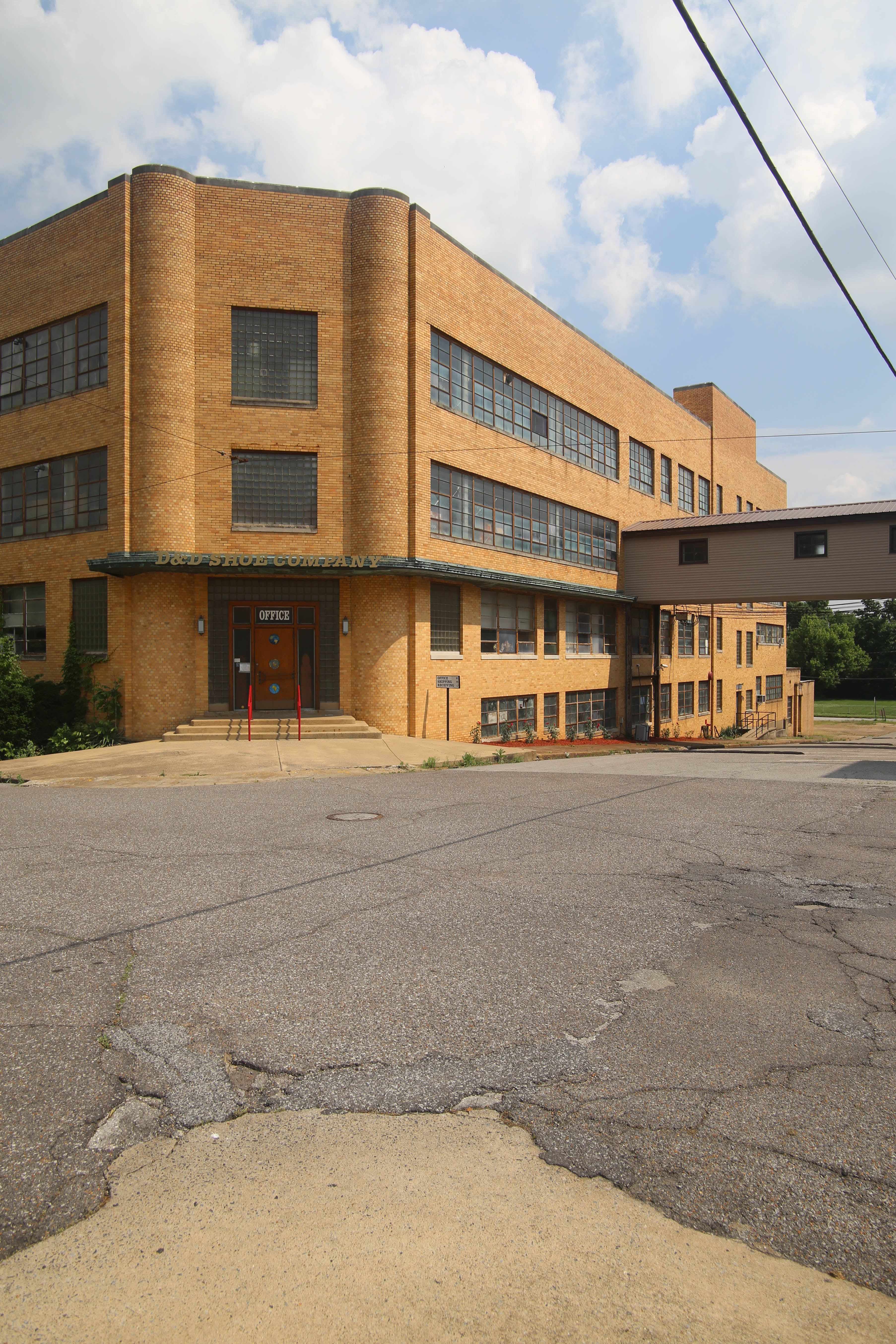
D&D Shoe Company
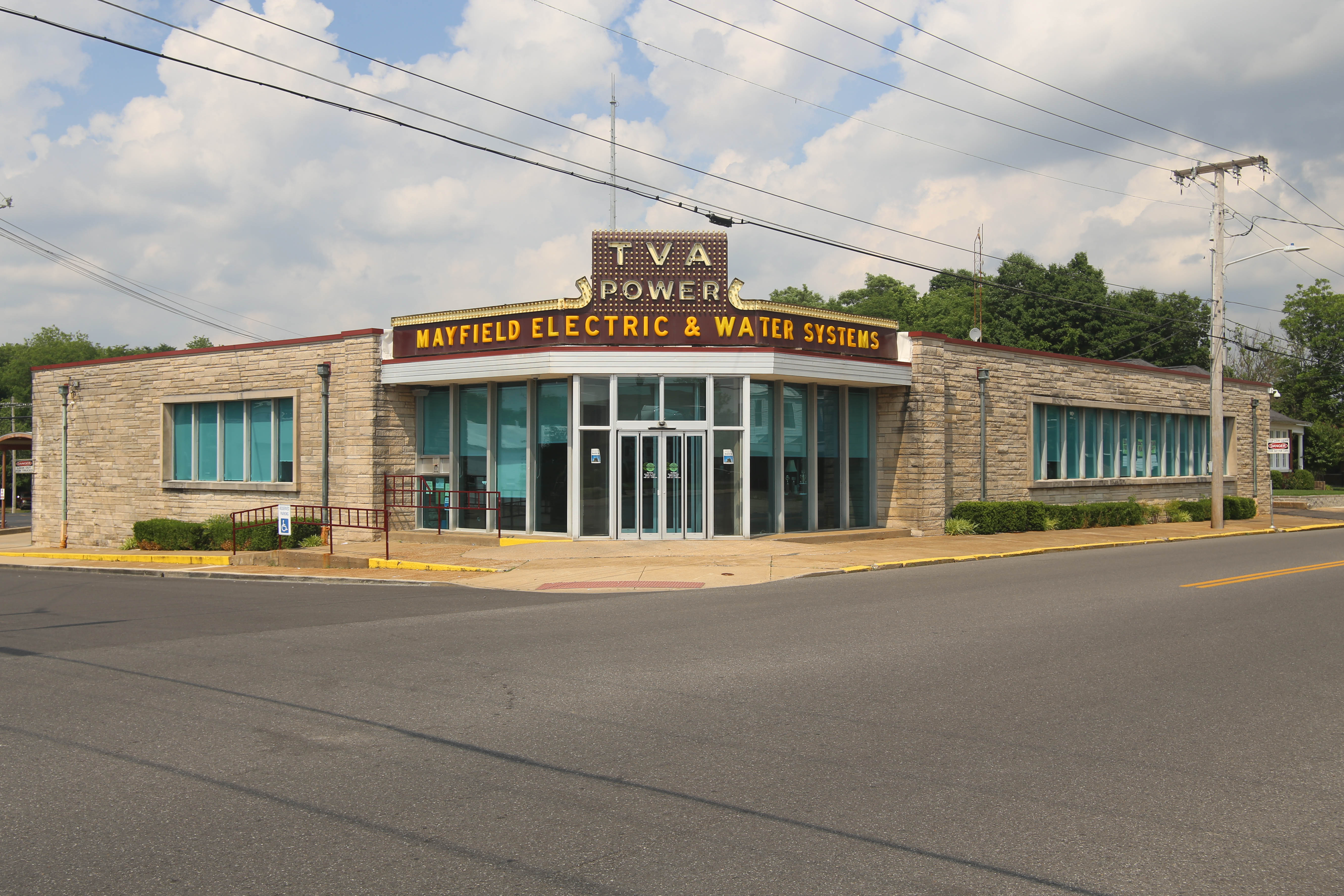
TVA Power
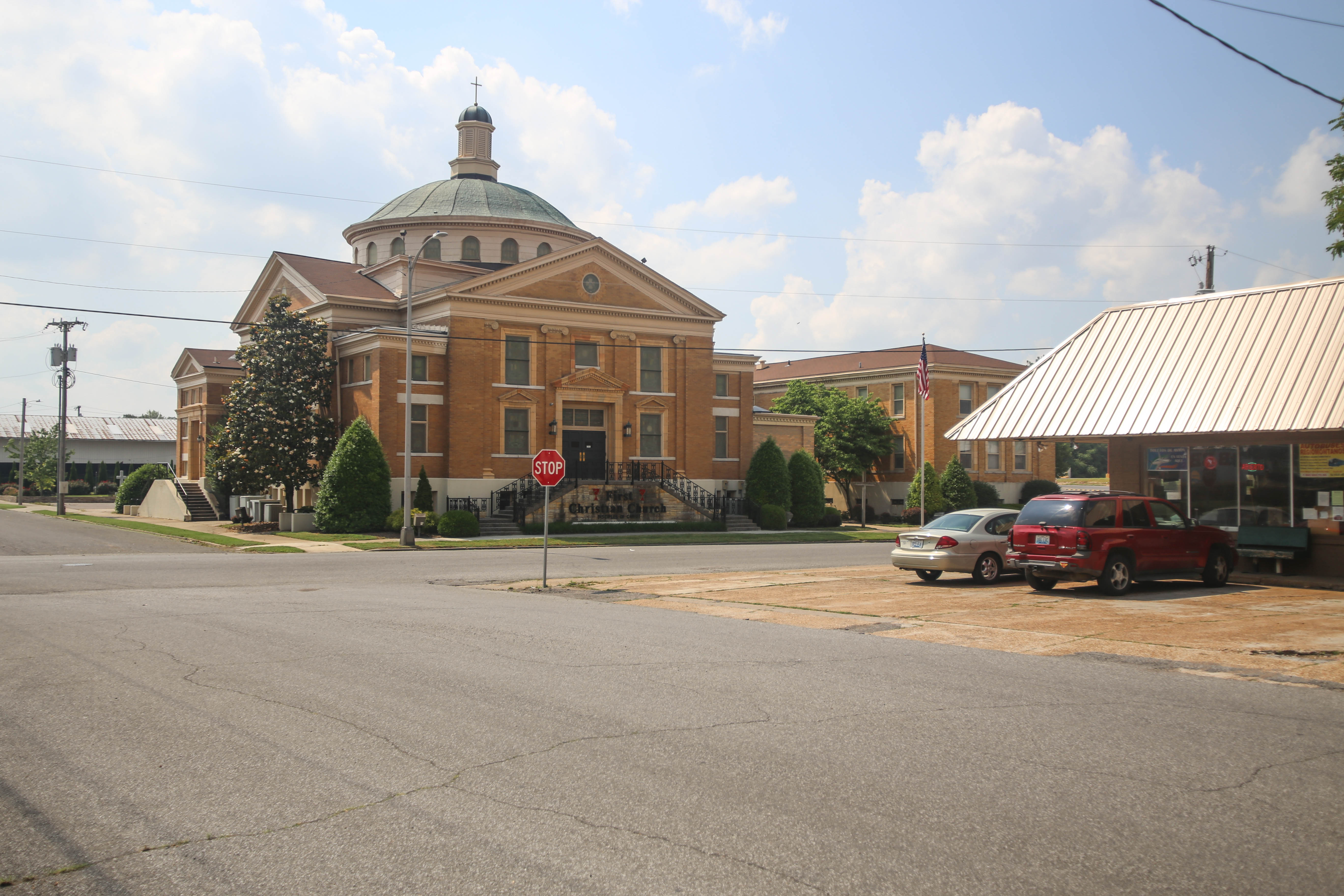
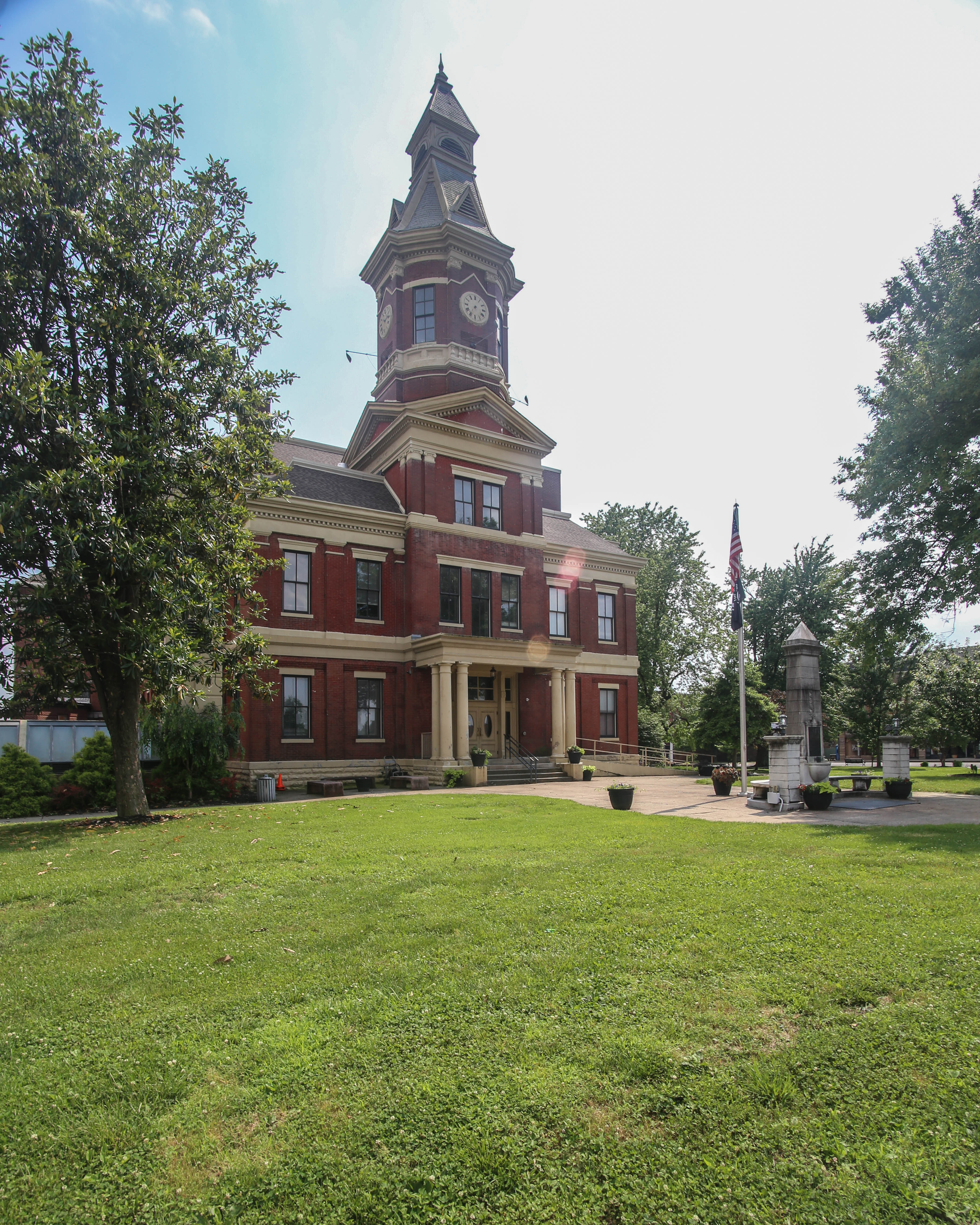
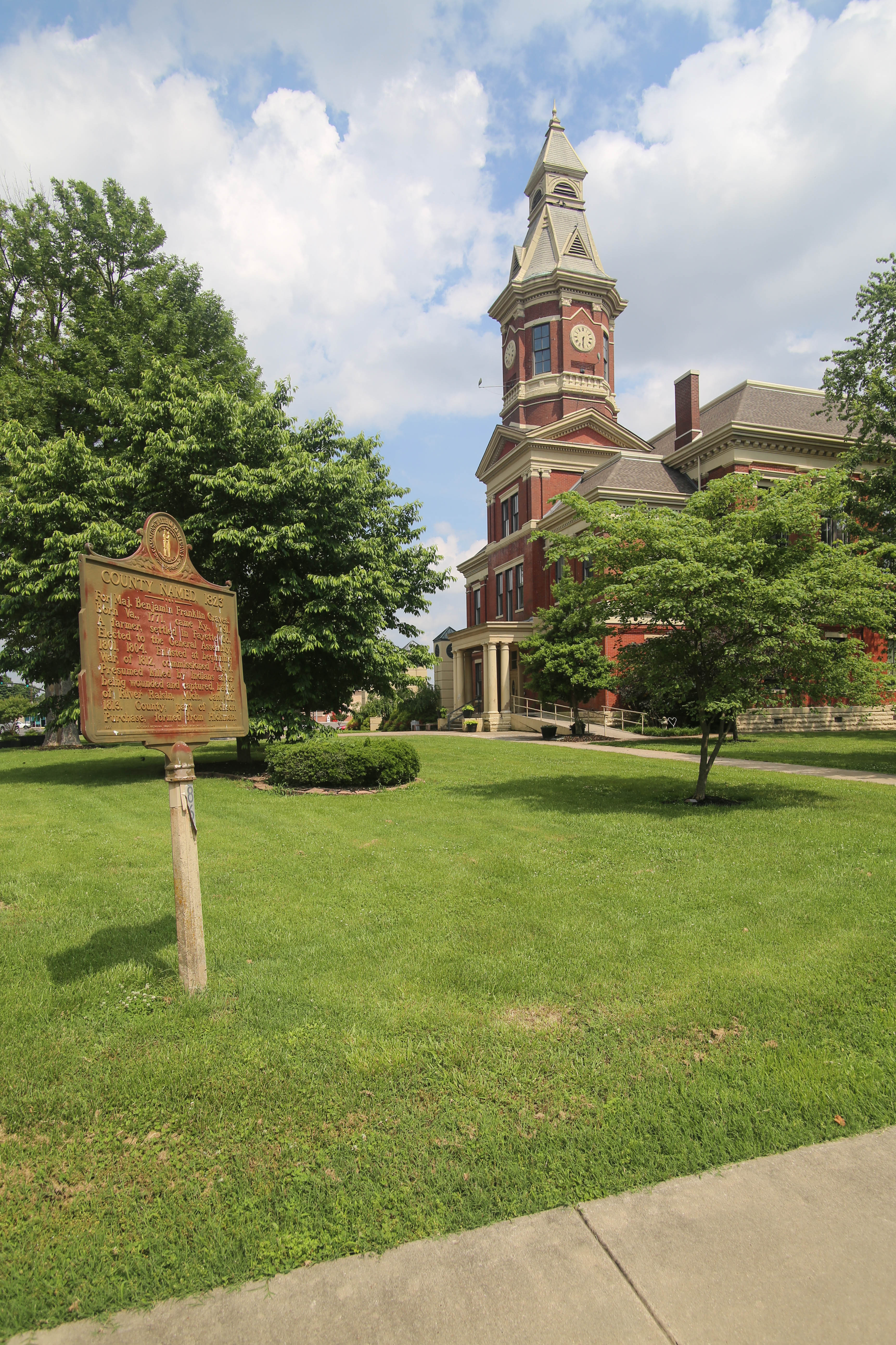
Mayfield City Hall
Mayfield, KY
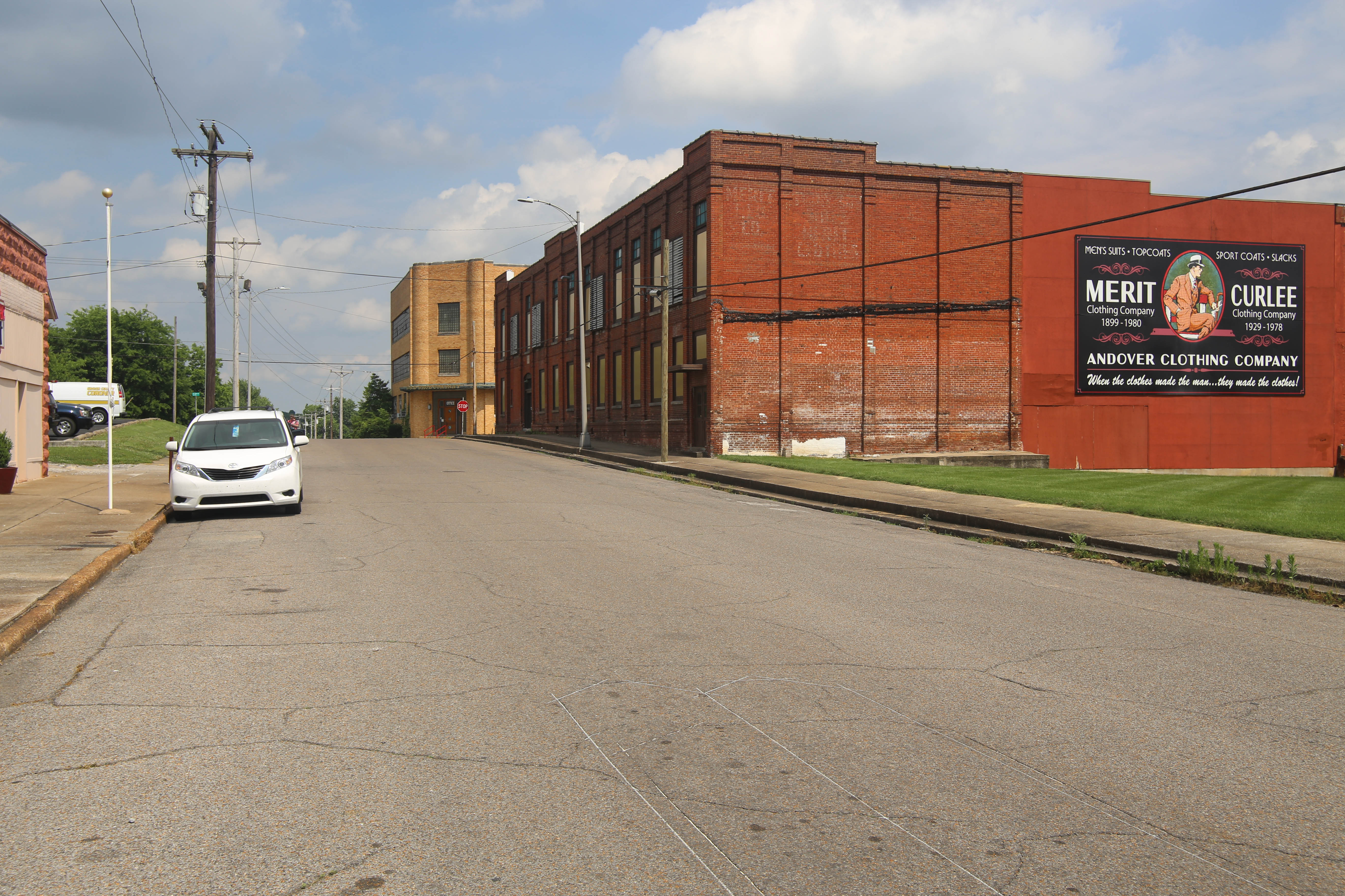
Merit Curlee
Topographic Map of KY-, Sedalia, KY, USA
Find elevation by address:

Places near KY-, Sedalia, KY, USA:
489 Ky-381
489 Ky-381
489 Ky-381
489 Ky-381
489 Ky-381
489 Ky-381
489 Ky-381
489 Ky-381
489 Ky-381
Sedalia
KY-97, Mayfield, KY, USA
189 Pleasure Dr
1661 Central Rd
High Point Baptist Church
U.s. 45
1220 Pritchard Rd
Mayfield, KY, USA
Graves County
145 Bel Aire Dr
Wingo
Recent Searches:
- Elevation of 72-31 Metropolitan Ave, Middle Village, NY, USA
- Elevation of 76 Metropolitan Ave, Brooklyn, NY, USA
- Elevation of Alisal Rd, Solvang, CA, USA
- Elevation of Vista Blvd, Sparks, NV, USA
- Elevation of 15th Ave SE, St. Petersburg, FL, USA
- Elevation of Beall Road, Beall Rd, Florida, USA
- Elevation of Leguwa, Nepal
- Elevation of County Rd, Enterprise, AL, USA
- Elevation of Kolchuginsky District, Vladimir Oblast, Russia
- Elevation of Shustino, Vladimir Oblast, Russia