Elevation of Pleasure Dr, Mayfield, KY, USA
Location: United States > Kentucky > Graves County > Mayfield >
Longitude: -88.629818
Latitude: 36.7040517
Elevation: 153m / 502feet
Barometric Pressure: 99KPa
Elevation Map:
Satellite Map:
Related Photos:

Purchase Parkway meets US 45
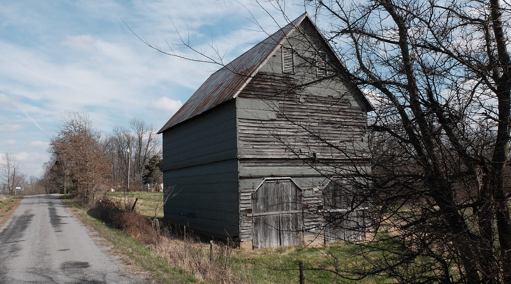
Wingo Barn X30
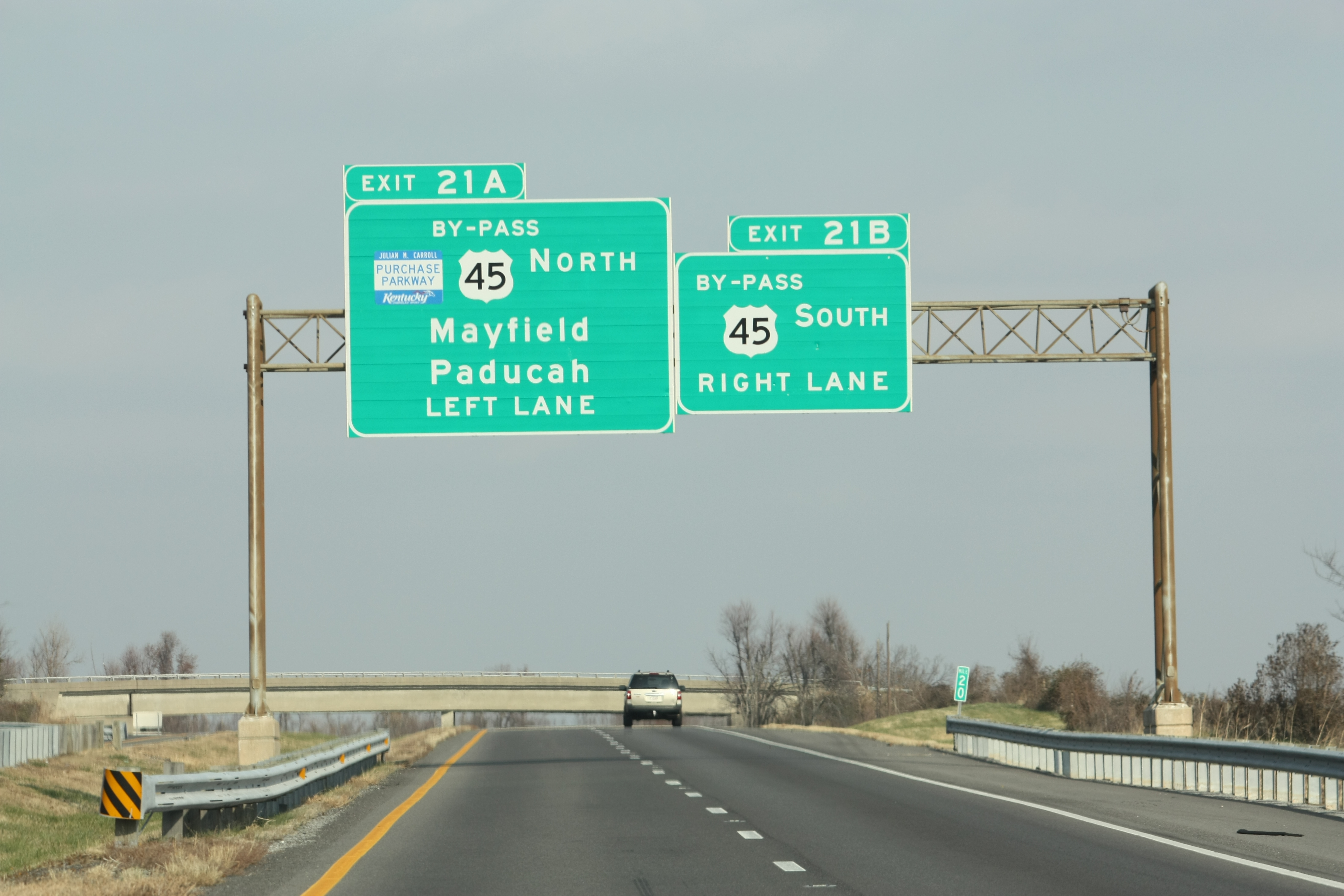
By-Pass US 45 Exits

Golden bales

4:41 PM
ALL THE WAY GOOD

Lovely Sunset

Wingo Tobacco Barn

Backusburg House

Golo Log Barn

Canadian Pacific CP 7018 (SD70ACU) Progress Rail Mayfield, Kentucky

Canadian Pacific CP 7018 (SD70ACU) Progress Rail Mayfield, Kentucky

Jeff Davis Road
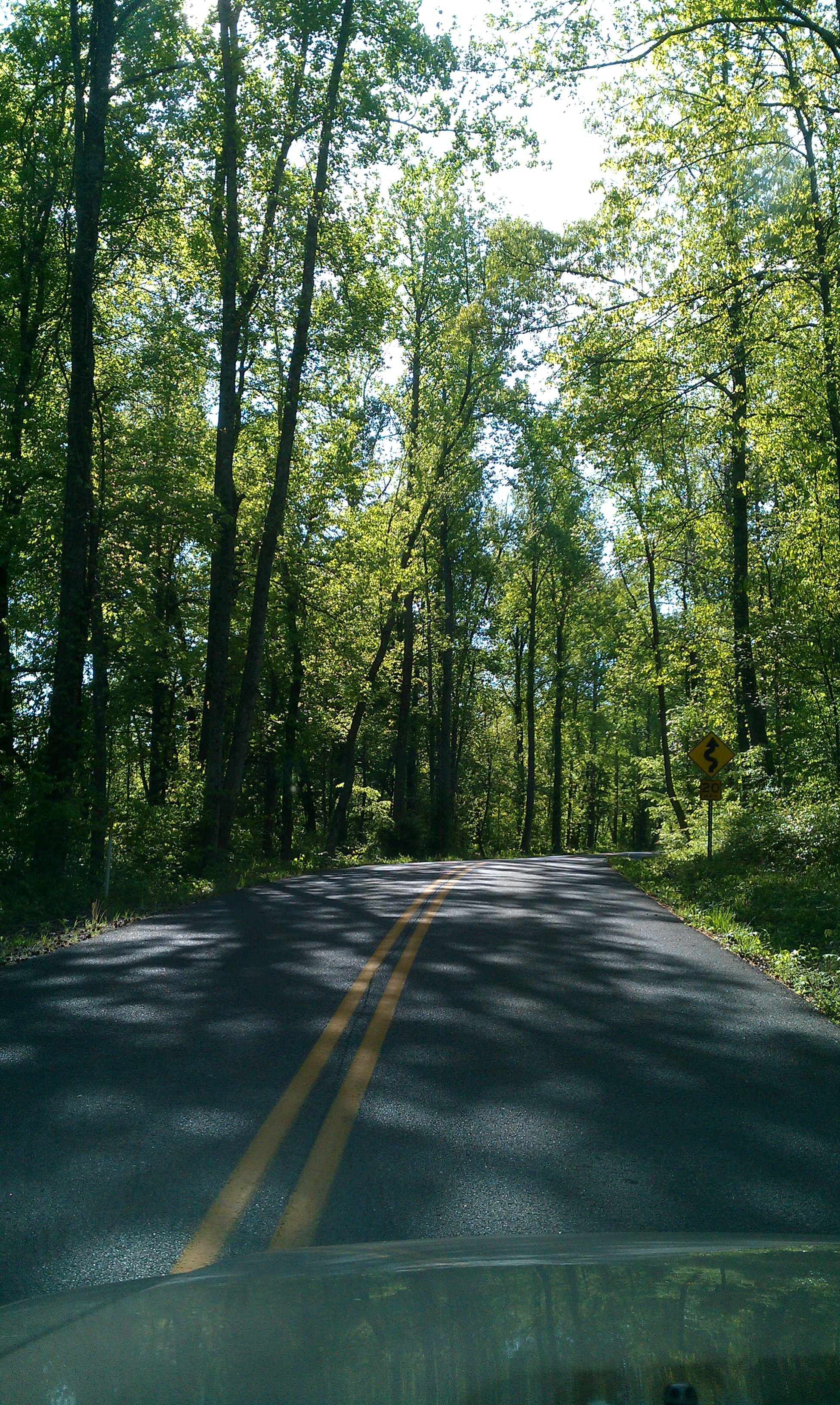
Summer road

Summer road

6:00 a.m.

6:00 p.m.

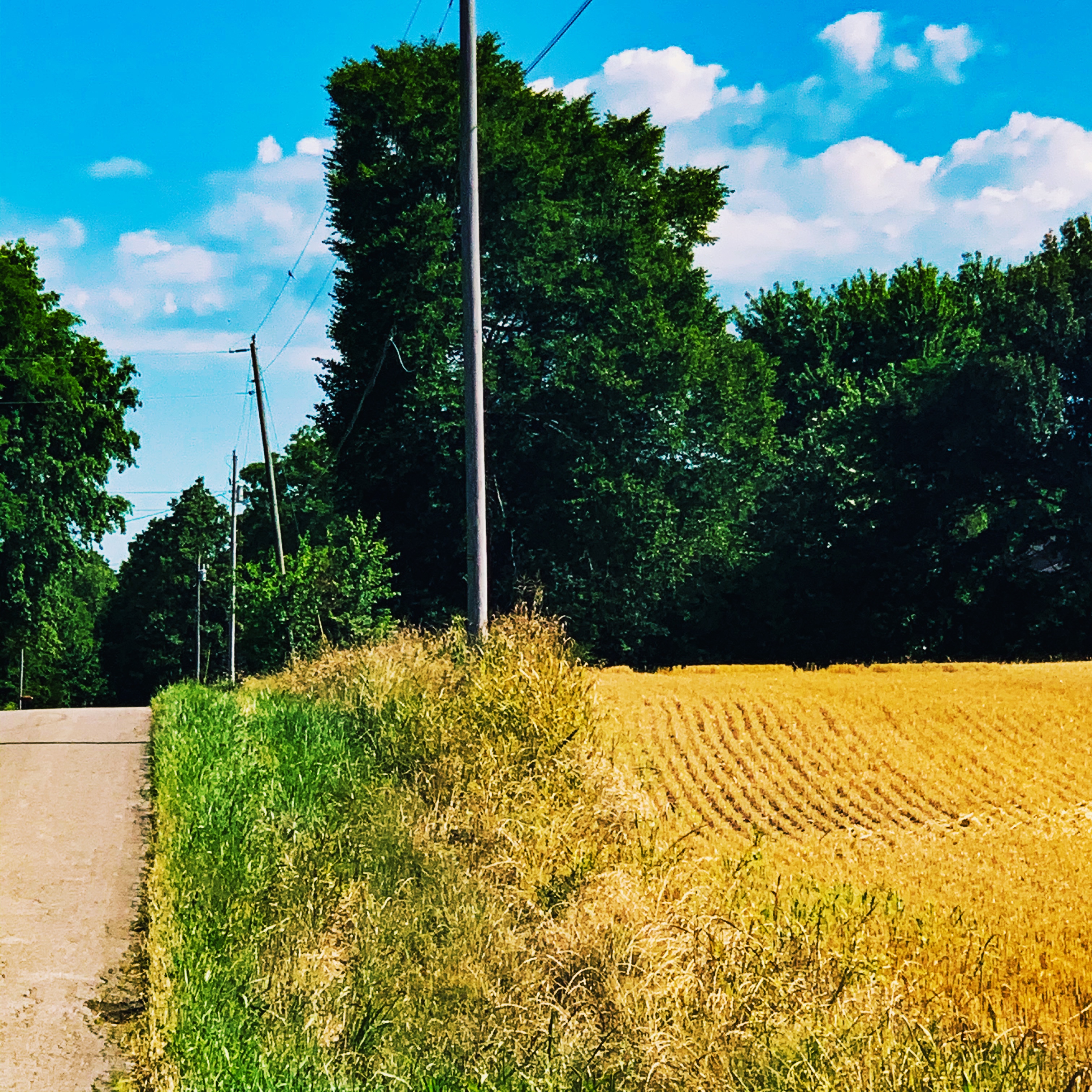
West Kentucky corn

Bardstown Road - sketch

Spring will come

Staying in

Staying in

Jeff Davis Road

Jeff Davis Road

Jeff Davis Road

Jeff Davis Road

Jeff Davis Road
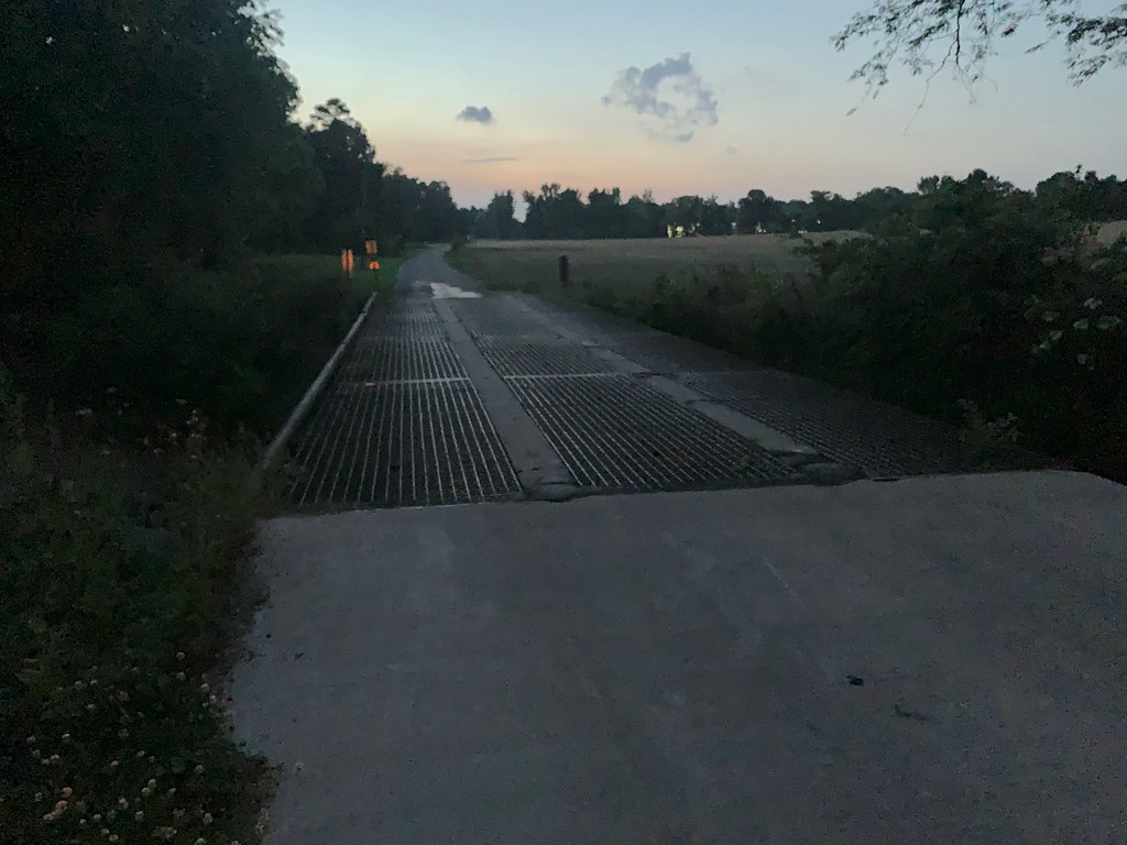
Interesting bridge off Stubblefield Rd
Topographic Map of Pleasure Dr, Mayfield, KY, USA
Find elevation by address:

Places near Pleasure Dr, Mayfield, KY, USA:
1661 Central Rd
High Point Baptist Church
U.s. 45
Mayfield, KY, USA
145 Bel Aire Dr
KY-97, Mayfield, KY, USA
Sedalia
489 Ky-381
489 Ky-381
489 Ky-381
489 Ky-381
489 Ky-381
489 Ky-381
489 Ky-381
489 Ky-381
489 Ky-381
489 Ky-381
Graves County
1220 Pritchard Rd
Wingo
Recent Searches:
- Elevation of Mamala II, Sariaya, Quezon, Philippines
- Elevation of Sarangdanda, Nepal
- Elevation of 7 Waterfall Way, Tomball, TX, USA
- Elevation of SW 57th Ave, Portland, OR, USA
- Elevation of Crocker Dr, Vacaville, CA, USA
- Elevation of Pu Ngaol Community Meeting Hall, HWHM+3X7, Krong Saen Monourom, Cambodia
- Elevation of Royal Ontario Museum, Queens Park, Toronto, ON M5S 2C6, Canada
- Elevation of Groblershoop, South Africa
- Elevation of Power Generation Enterprises | Industrial Diesel Generators, Oak Ave, Canyon Country, CA, USA
- Elevation of Chesaw Rd, Oroville, WA, USA