Elevation of Wingo, KY, USA
Location: United States > Kentucky >
Longitude: -88.738942
Latitude: 36.6422806
Elevation: 154m / 505feet
Barometric Pressure: 99KPa
Elevation Map:
Satellite Map:
Related Photos:
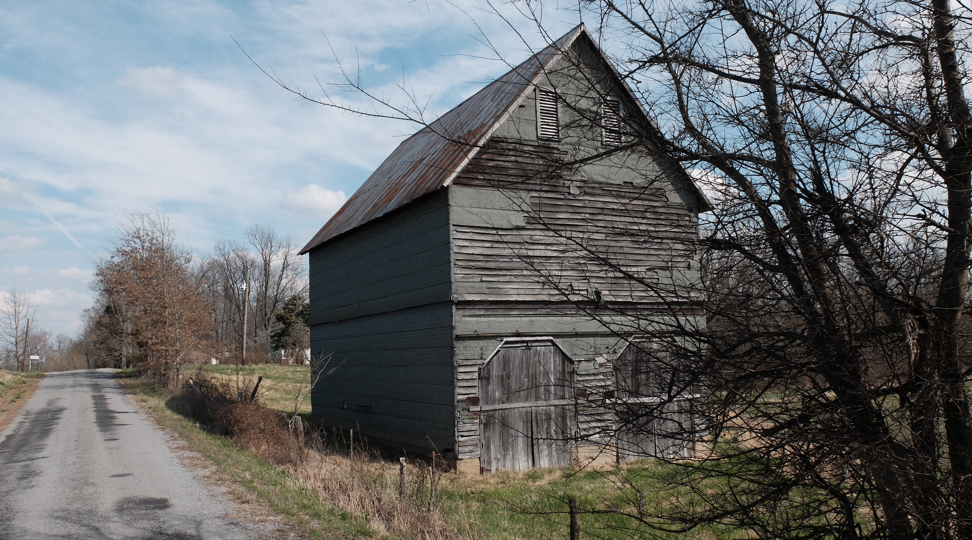
Wingo Barn X30

Lovely Sunset

IMG_1346

IMG_1350

IMG_1347

IMG_1345

IMG_6541

IMG_6544

IMG_6543

IMG_6545

IMG_6546

IMG_6547

IMG_6549

IMG_6550

IMG_6551

IMG_6552

IMG_6554

IMG_6555

IMG_6556

IMG_6561

IMG_6560

IMG_6562

IMG_6563
Topographic Map of Wingo, KY, USA
Find elevation by address:

Places in Wingo, KY, USA:
Places near Wingo, KY, USA:
1220 Pritchard Rd
Sellars Road
Graves County
1661 Central Rd
Water Valley
US-45, Water Valley, KY, USA
Mayfield, KY, USA
145 Bel Aire Dr
189 Pleasure Dr
U.s. 45
Sedalia
High Point Baptist Church
KY-97, Mayfield, KY, USA
489 Ky-381
489 Ky-381
489 Ky-381
489 Ky-381
489 Ky-381
489 Ky-381
489 Ky-381
Recent Searches:
- Elevation of Elwyn Dr, Roanoke Rapids, NC, USA
- Elevation of Congressional Dr, Stevensville, MD, USA
- Elevation of Bellview Rd, McLean, VA, USA
- Elevation of Stage Island Rd, Chatham, MA, USA
- Elevation of Shibuya Scramble Crossing, 21 Udagawacho, Shibuya City, Tokyo -, Japan
- Elevation of Jadagoniai, Kaunas District Municipality, Lithuania
- Elevation of Pagonija rock, Kranto 7-oji g. 8"N, Kaunas, Lithuania
- Elevation of Co Rd 87, Jamestown, CO, USA
- Elevation of Tenjo, Cundinamarca, Colombia
- Elevation of Côte-des-Neiges, Montreal, QC H4A 3J6, Canada