Elevation of Scott Road, Scott Rd, Washington, USA
Location: United States > Washington > Walla Walla County > Waitsburg >
Longitude: -118.03966
Latitude: 46.0893363
Elevation: 892m / 2927feet
Barometric Pressure: 91KPa
Elevation Map:
Satellite Map:
Related Photos:

Table Rock Views-5
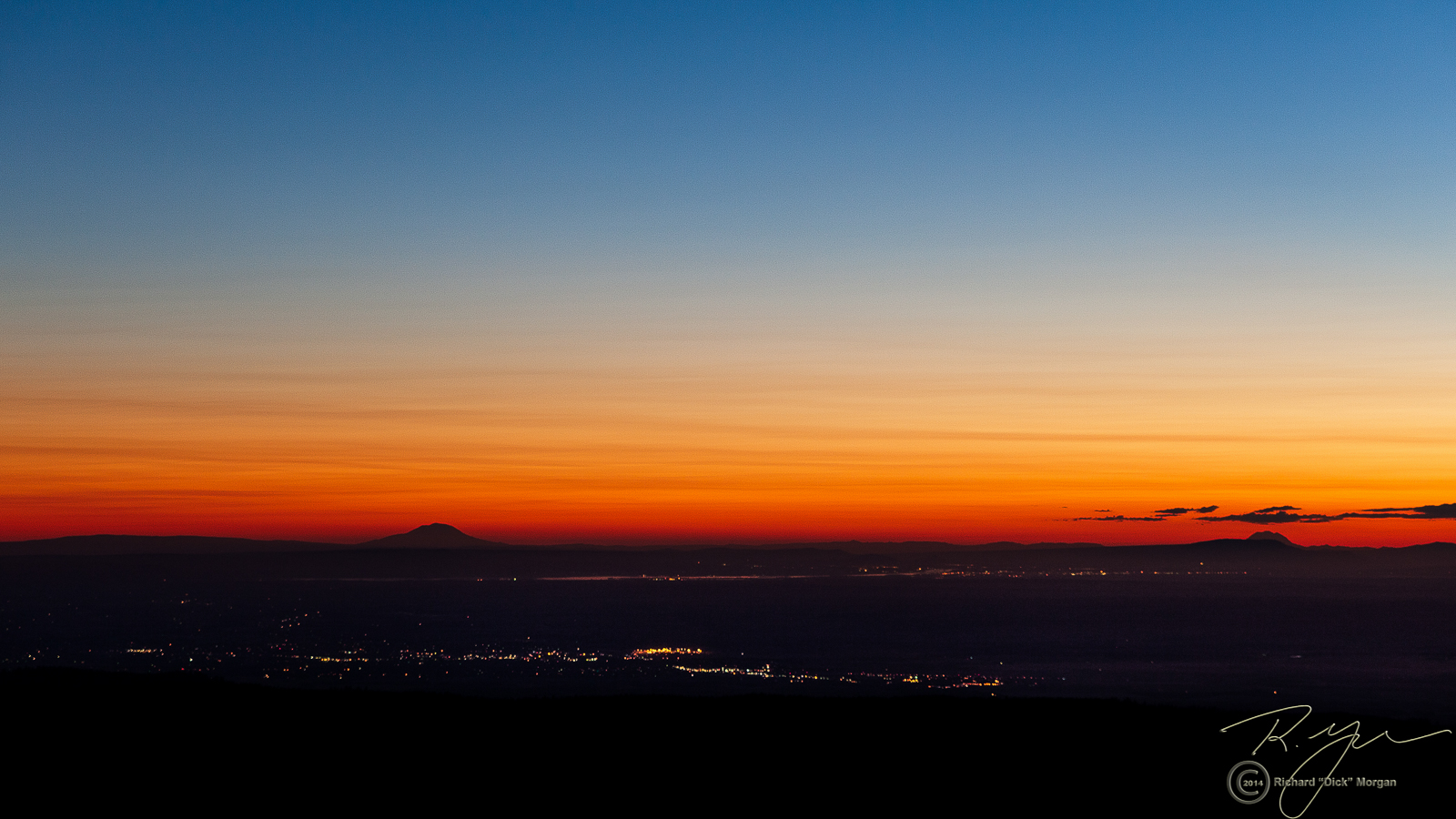
Table Rock Views-7

Table Rock Views-8

Table Rock Views- 1

Table Rock Views-3

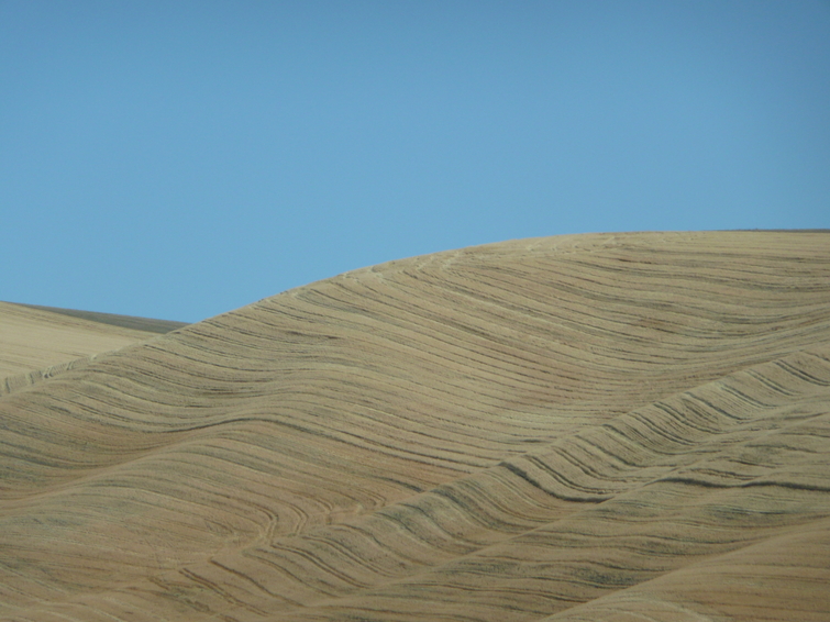
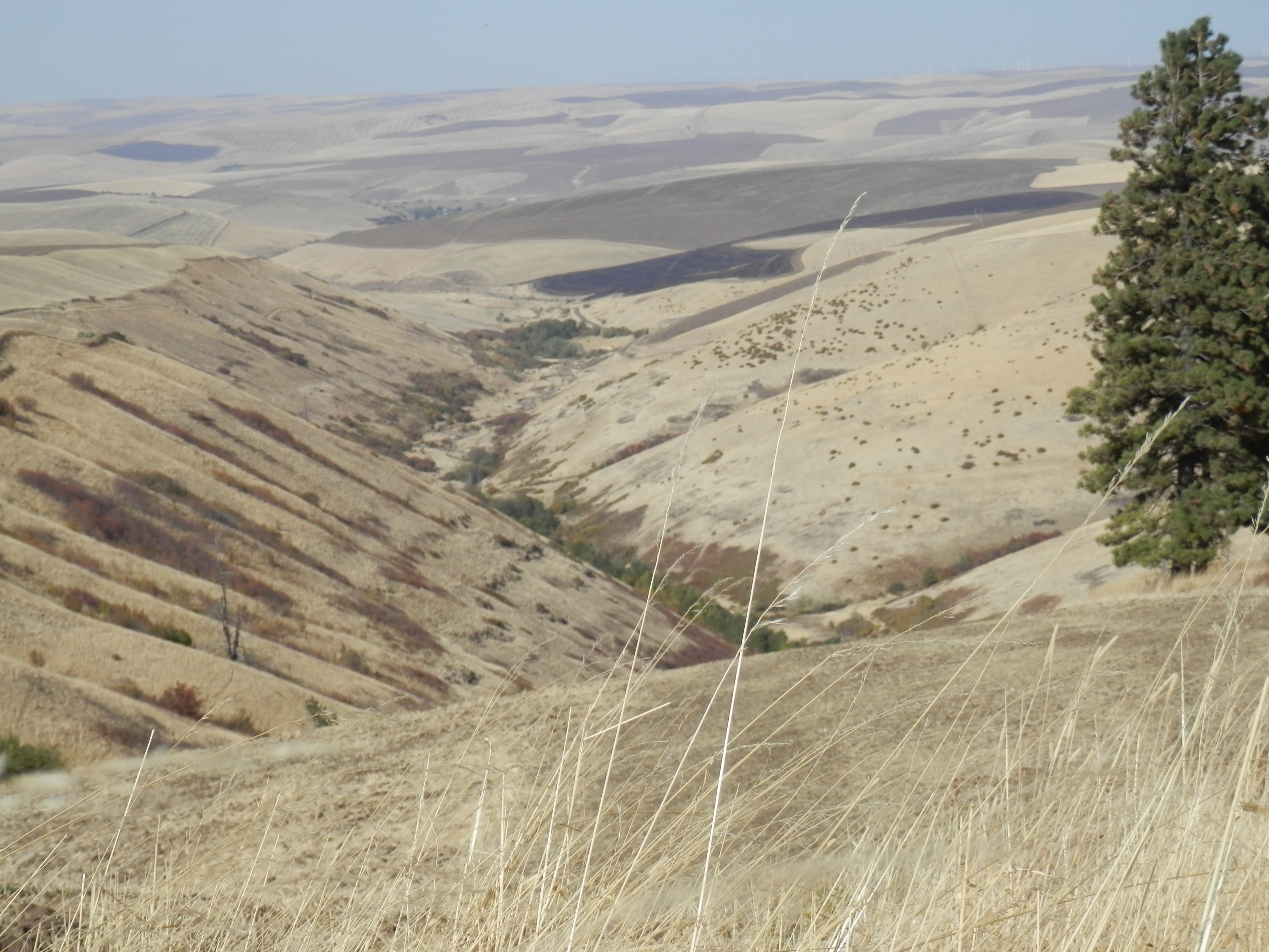
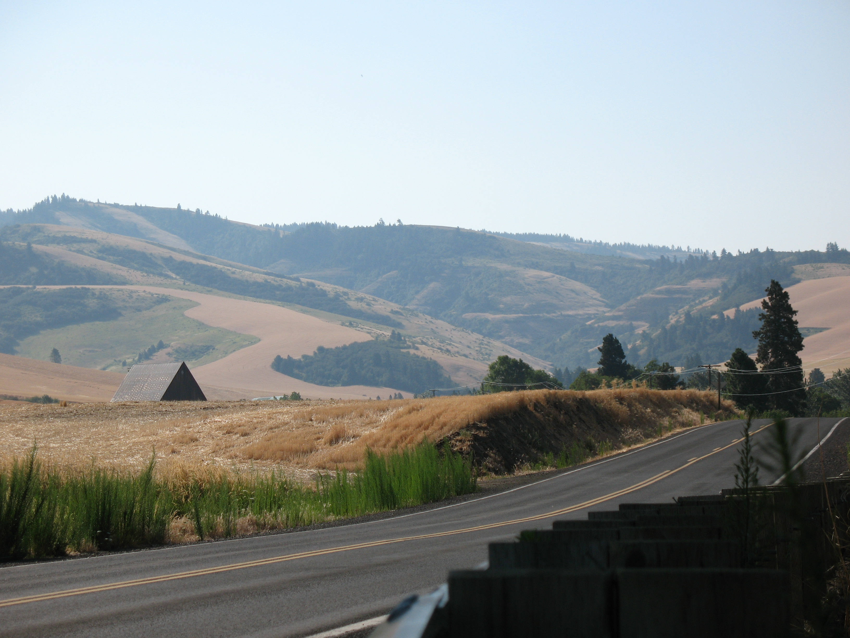
Rolling Hills

end of the wheat
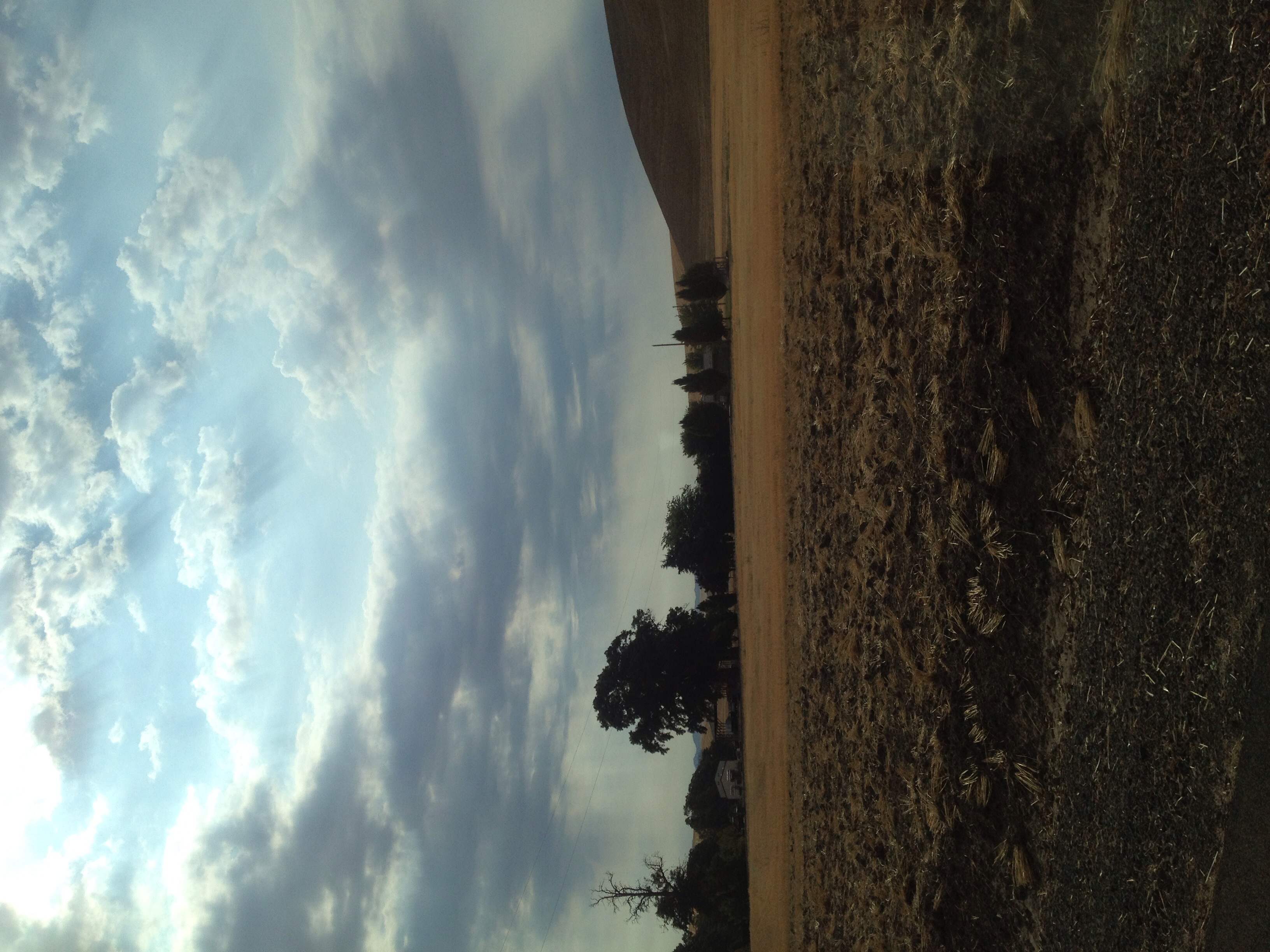
On the road to Spring Valley Vineyard

A warning sign warning of no warning signs.

Country Drive'n

outside Walla Walla

Spring Creek valley
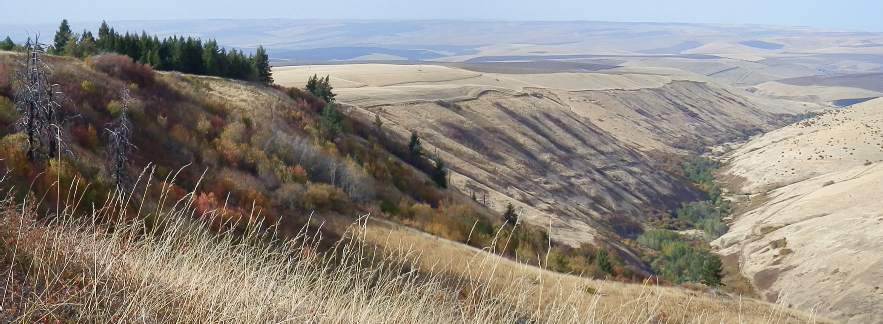
Rocky Point, Jasper Mt.
section 14
Palouse 2
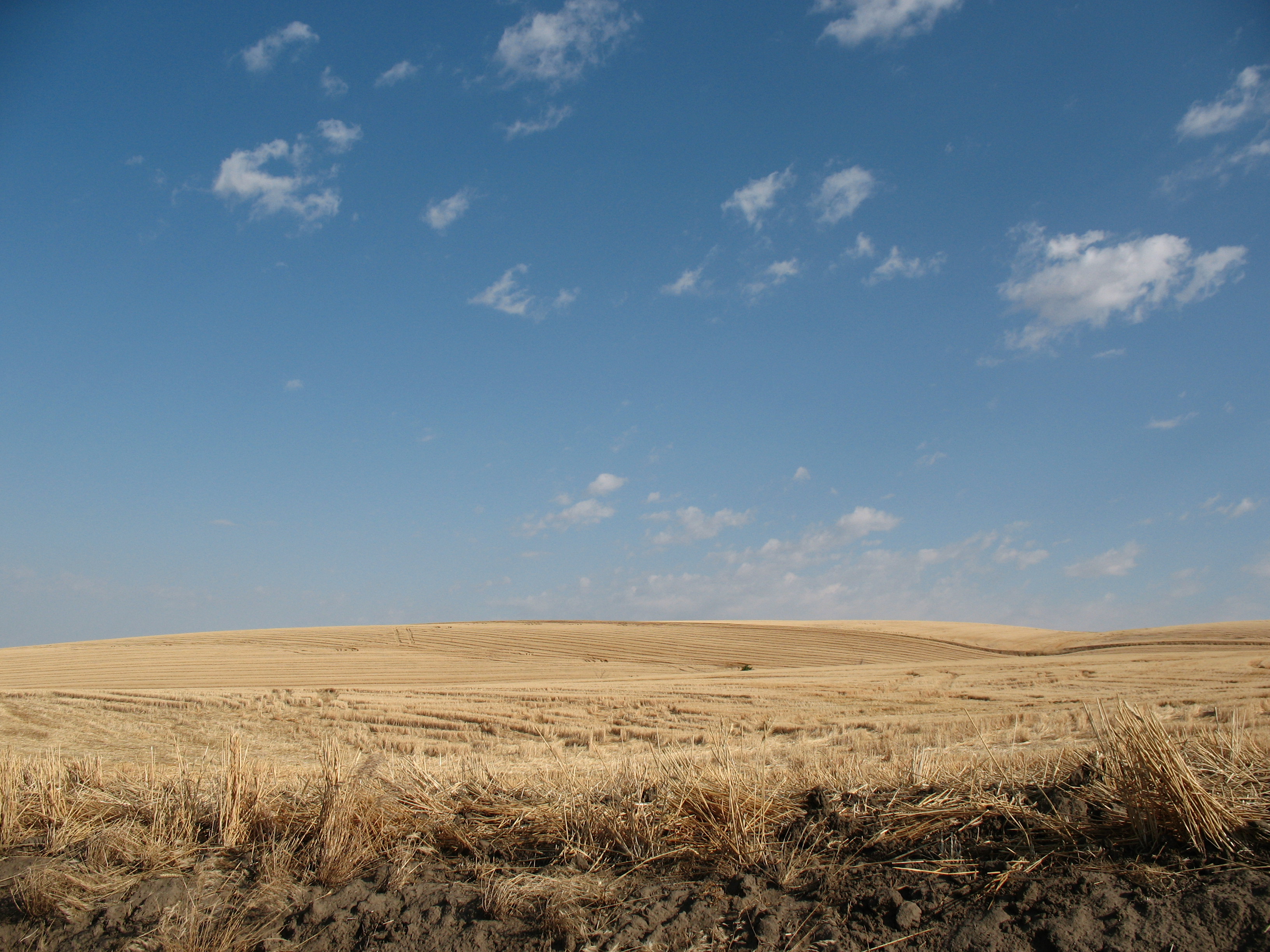
Harvested fields

Palouse poppies
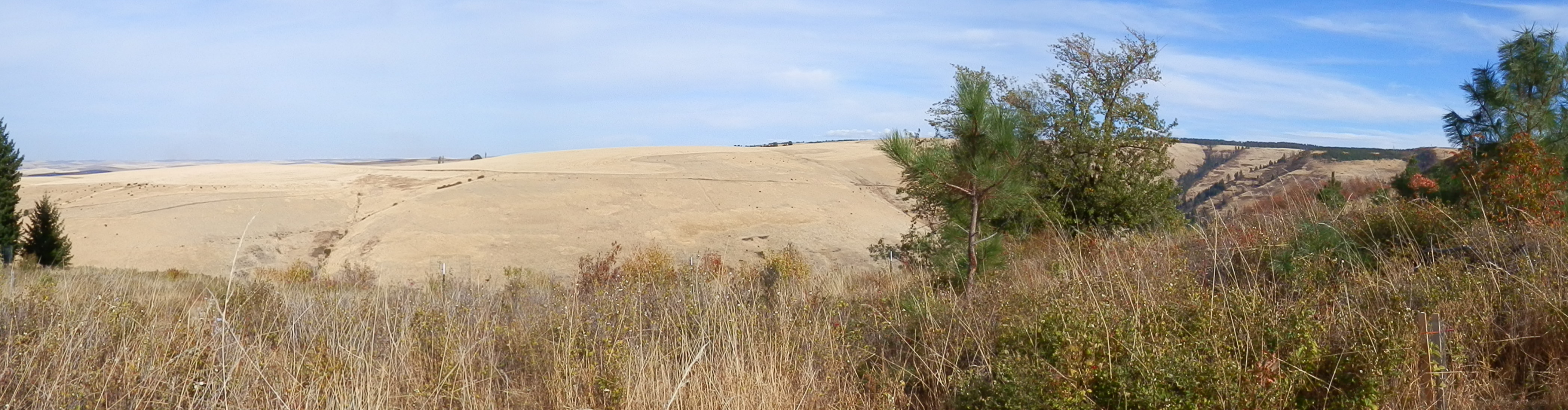
Rafting Lower Salmon 20120721-030.jpg

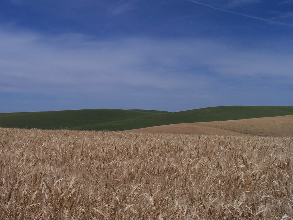
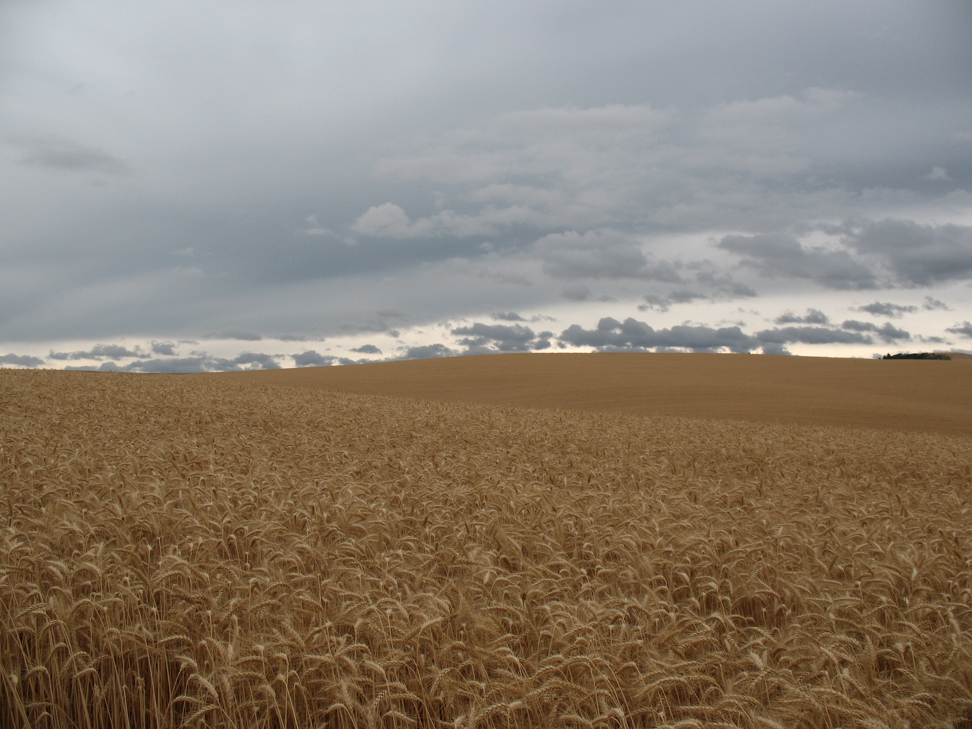
wheat fields
Palouse 1
Whiskey Creek valley
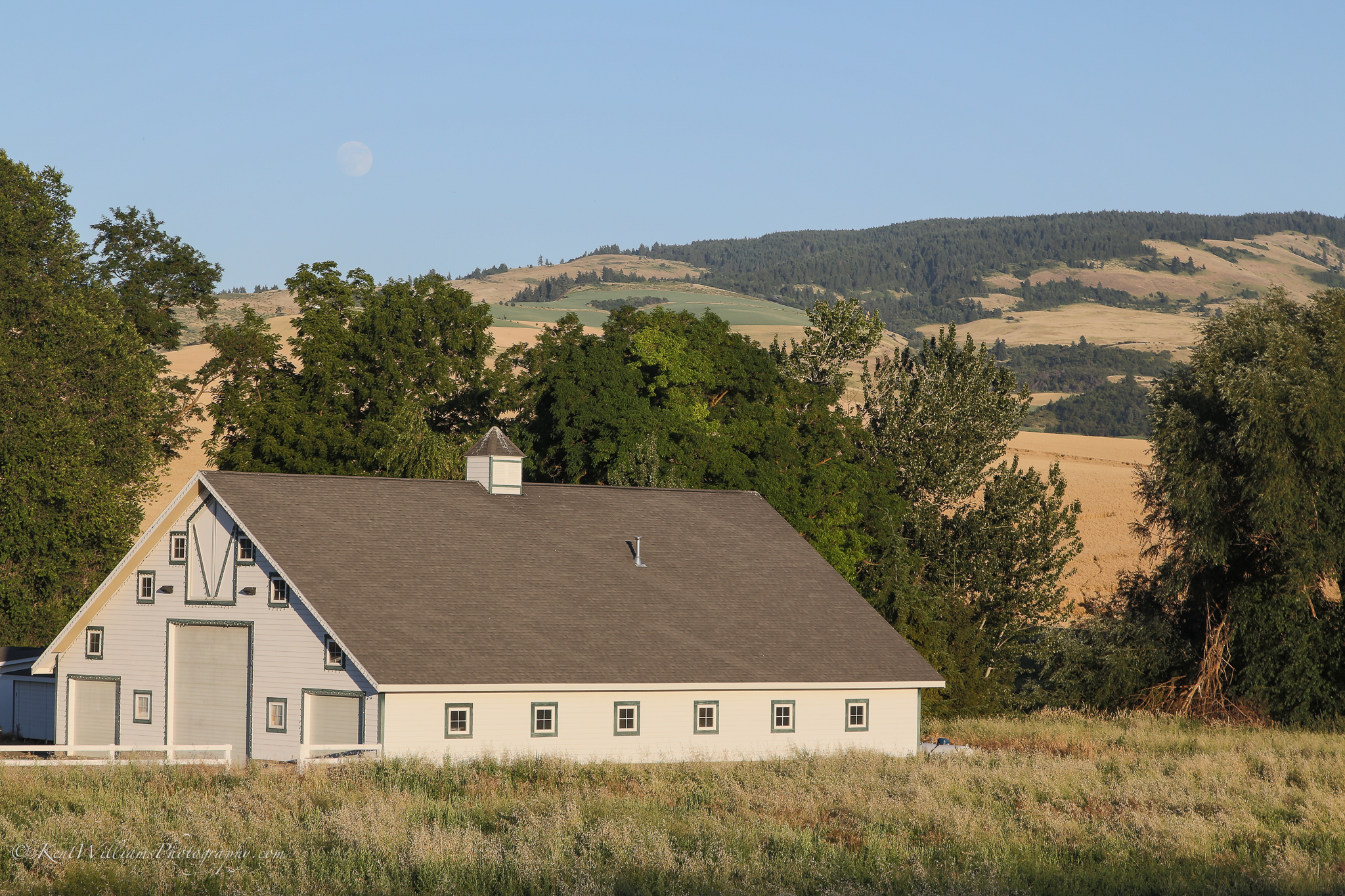
Moon over White Barn_
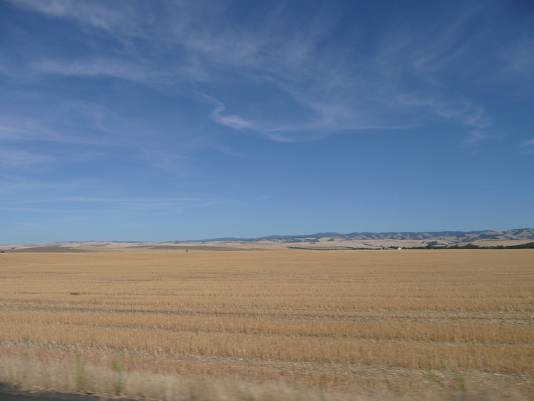
Walla Walla Wheat Field
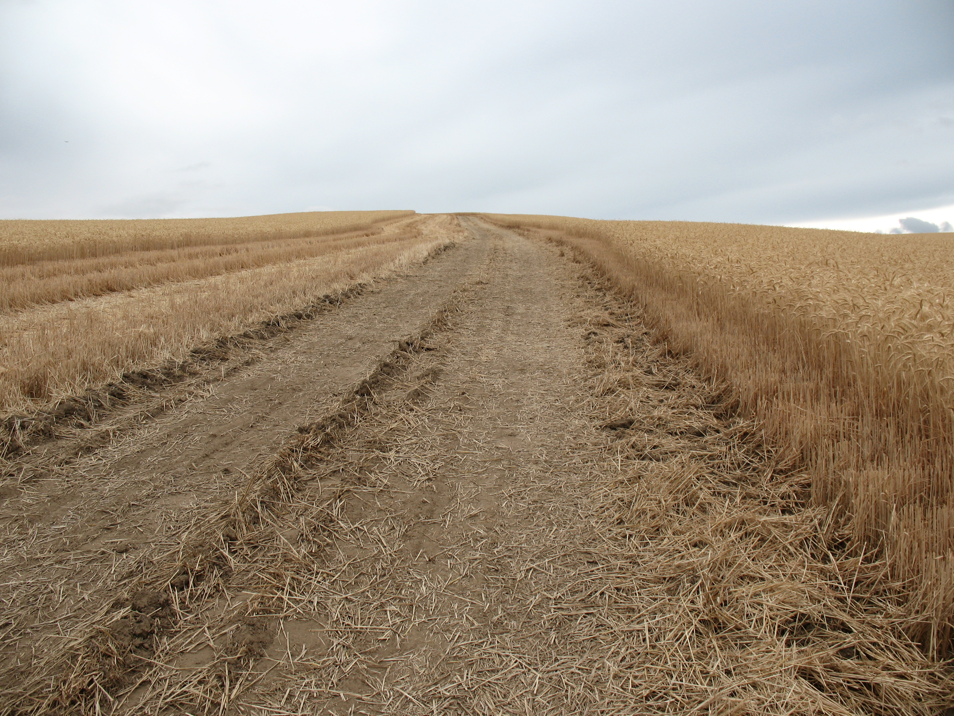
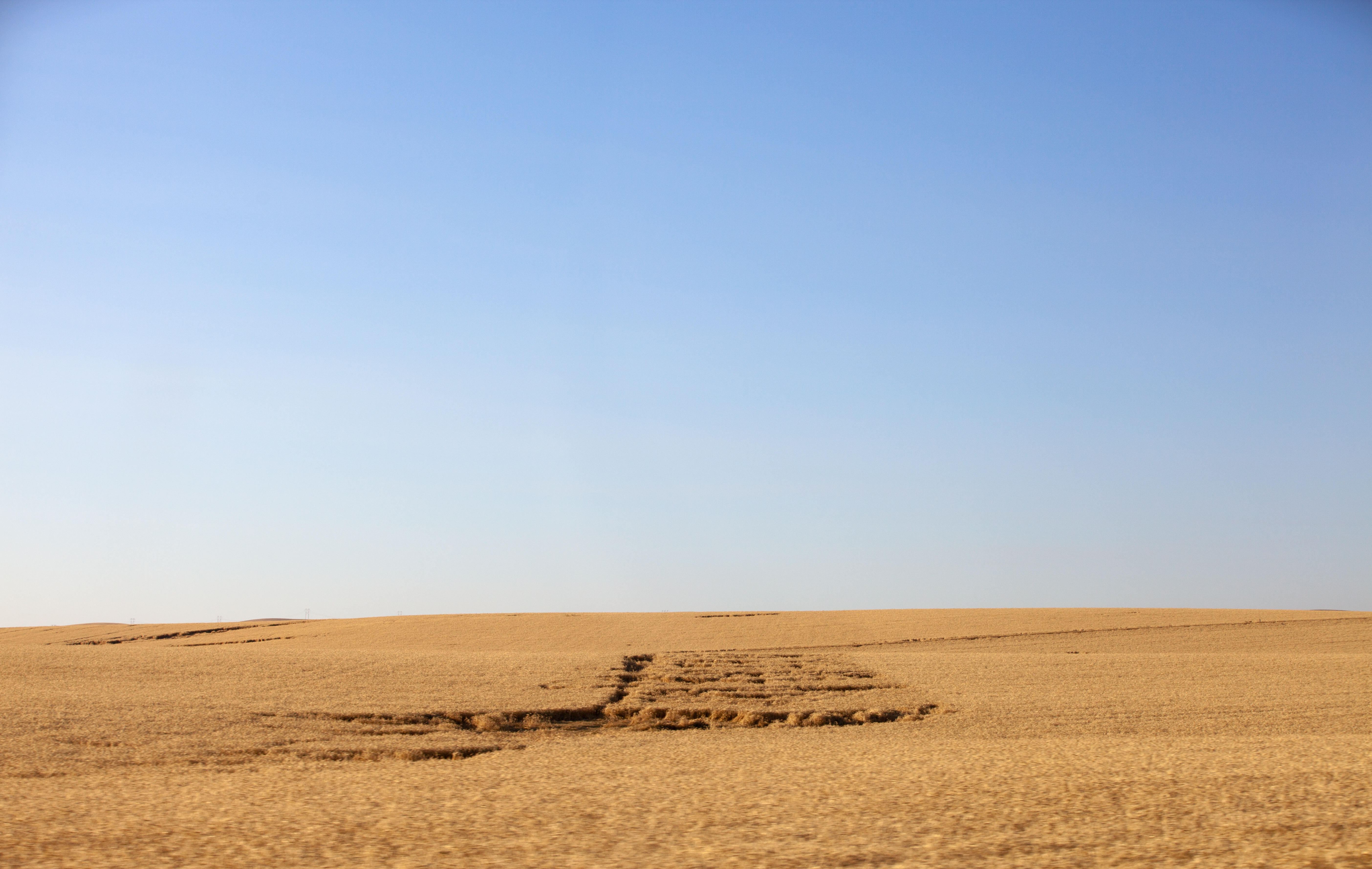
Harvest road
Gold to the skies
Mill Creek Road
Topographic Map of Scott Road, Scott Rd, Washington, USA
Find elevation by address:

Places near Scott Road, Scott Rd, Washington, USA:
7589 Lewis Peak Rd
11634 Biscuit Ridge Rd
5000 Lewis Peak Rd
Lewis Peak Road
Kooskooskie Road
242 Kooskooskie Rd
60818 Mill Creek Rd
61160 Mill Creek Rd
Lower Hogeye Road
100 Montgomery Ln
218 S Touchet Rd
518 S 1st St
515 S 1st St
226 W Patit Ave
102 W Patit Ave
307 E Main St
210 E Patit Ave
306 E Patit St
217 E Patit Ave
298 E Patit St
Recent Searches:
- Elevation of Badaber, Peshawar, Khyber Pakhtunkhwa, Pakistan
- Elevation of SE Heron Loop, Lincoln City, OR, USA
- Elevation of Slanický ostrov, 01 Námestovo, Slovakia
- Elevation of Spaceport America, Co Rd A, Truth or Consequences, NM, USA
- Elevation of Warwick, RI, USA
- Elevation of Fern Rd, Whitmore, CA, USA
- Elevation of 62 Abbey St, Marshfield, MA, USA
- Elevation of Fernwood, Bradenton, FL, USA
- Elevation of Felindre, Swansea SA5 7LU, UK
- Elevation of Leyte Industrial Development Estate, Isabel, Leyte, Philippines