Elevation of Lower Hogeye Road, Lower Hogeye Rd, Washington, USA
Location: United States > Washington > Walla Walla County > Waitsburg >
Longitude: -118.08775
Latitude: 46.2676332
Elevation: 434m / 1424feet
Barometric Pressure: 96KPa
Elevation Map:
Satellite Map:
Related Photos:
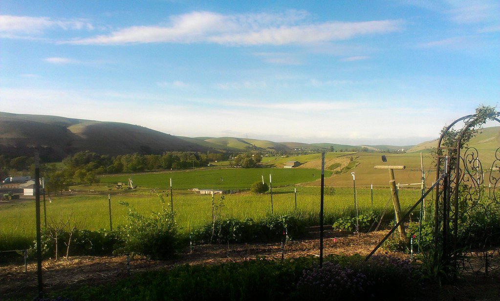
The view from where I'm staying.

Waitsburg Ruins

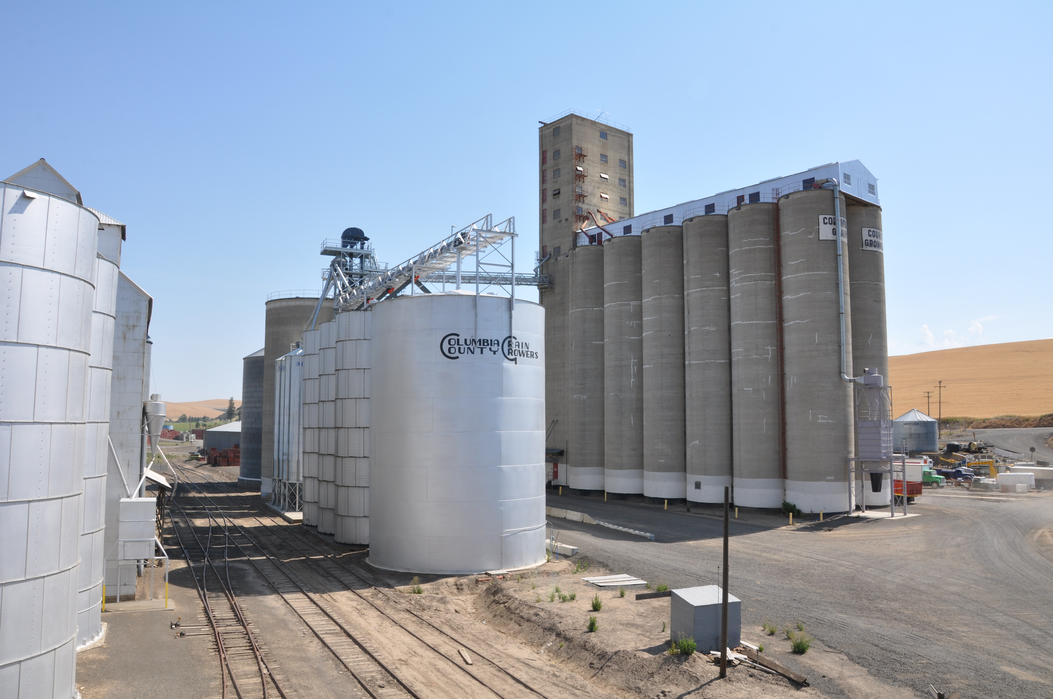
View of the old Grain Elevator at Springacres Ranch, Waitsburg, WA
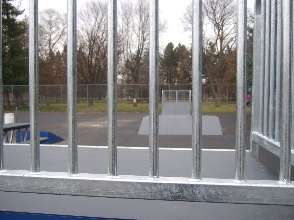
view from quarter pipe

MappingMainStreet_DaytonWA-60
MappingMainStreet_DaytonWA-56
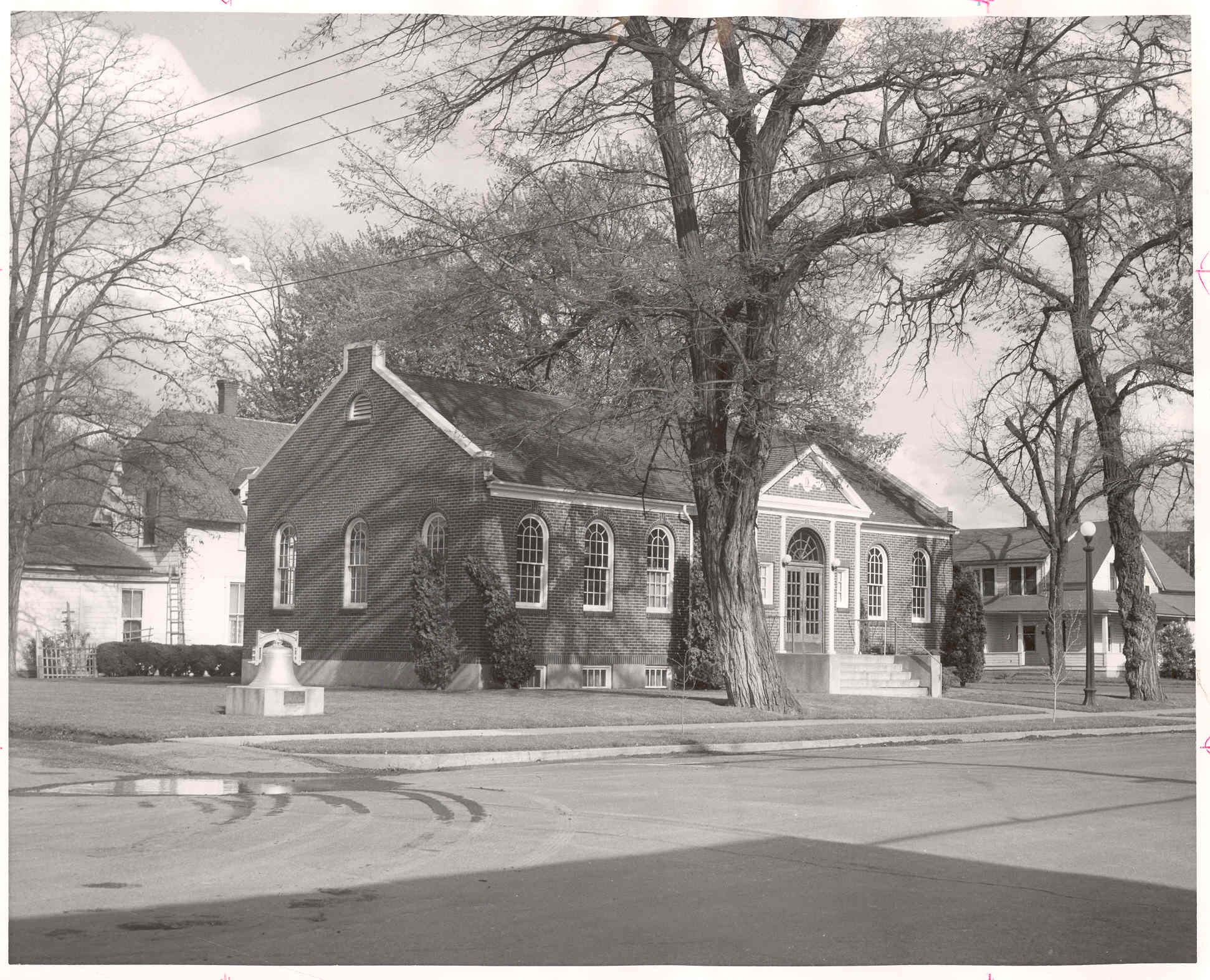
Library Exterior, pre-1974

Columbia County Rural Library District, 2008

Waitsburg view
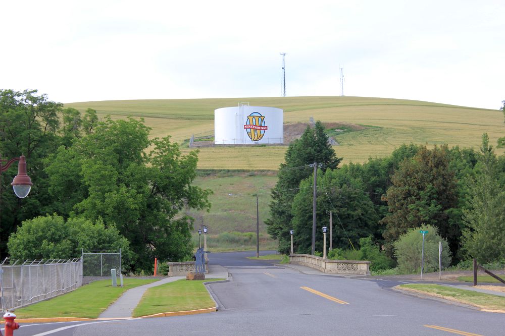
Waitsburg view 2

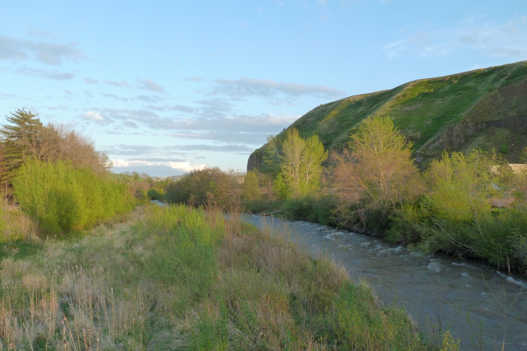
Waitsburg view

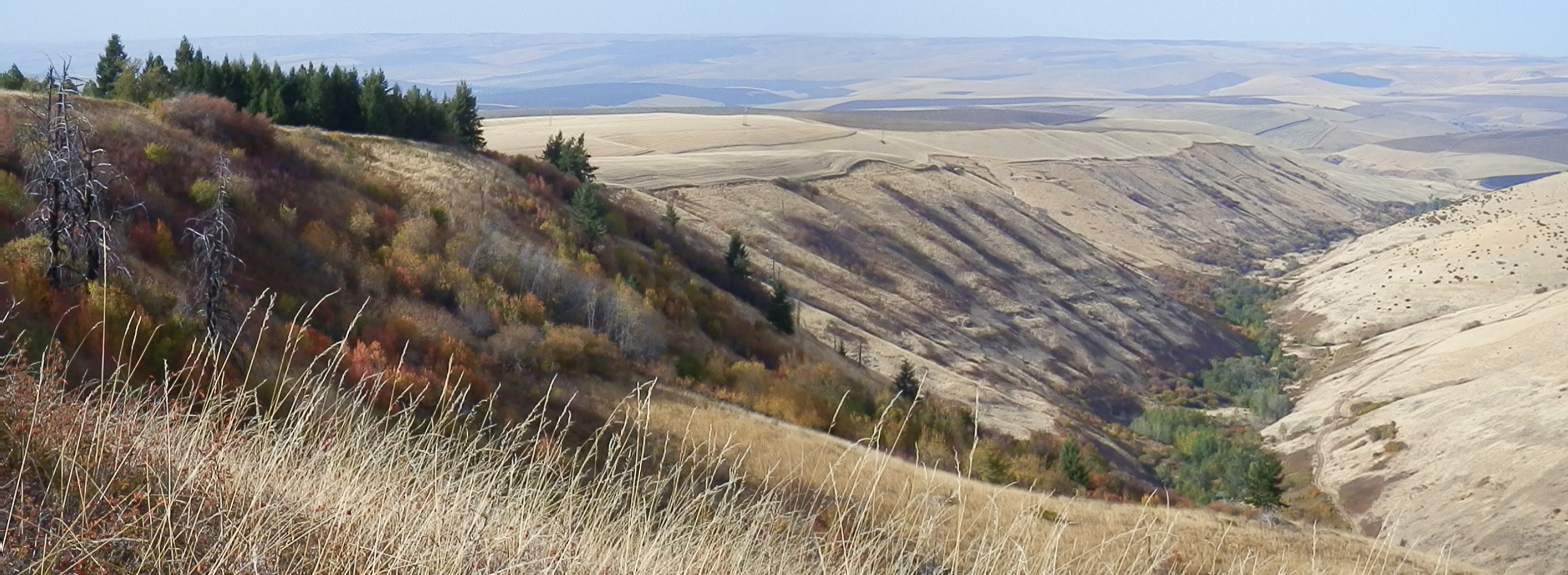
Rolling Hills

What A Day

Waving grass

Fields of Canola
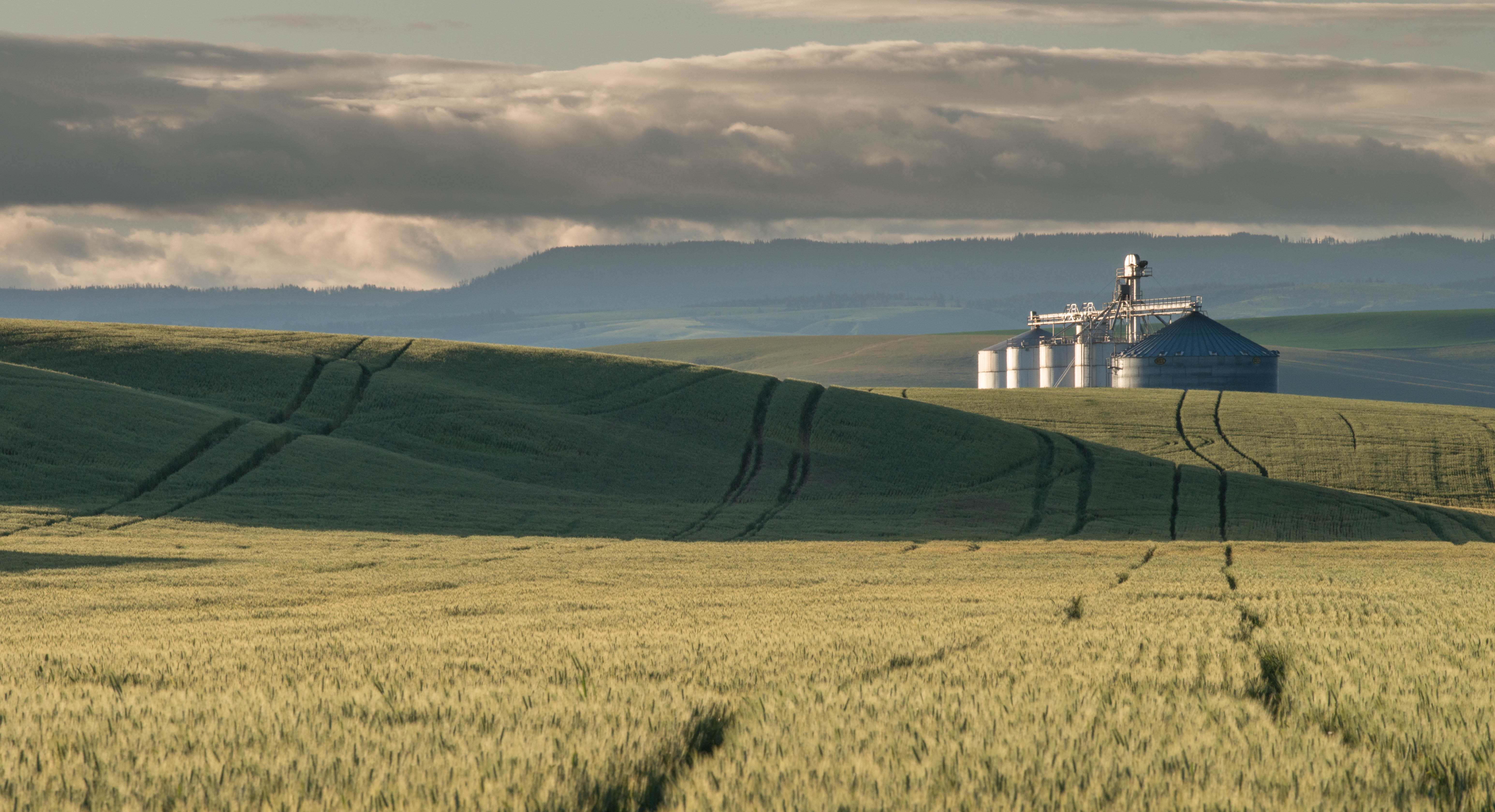
Silo Sunrise

bicycle crop circle

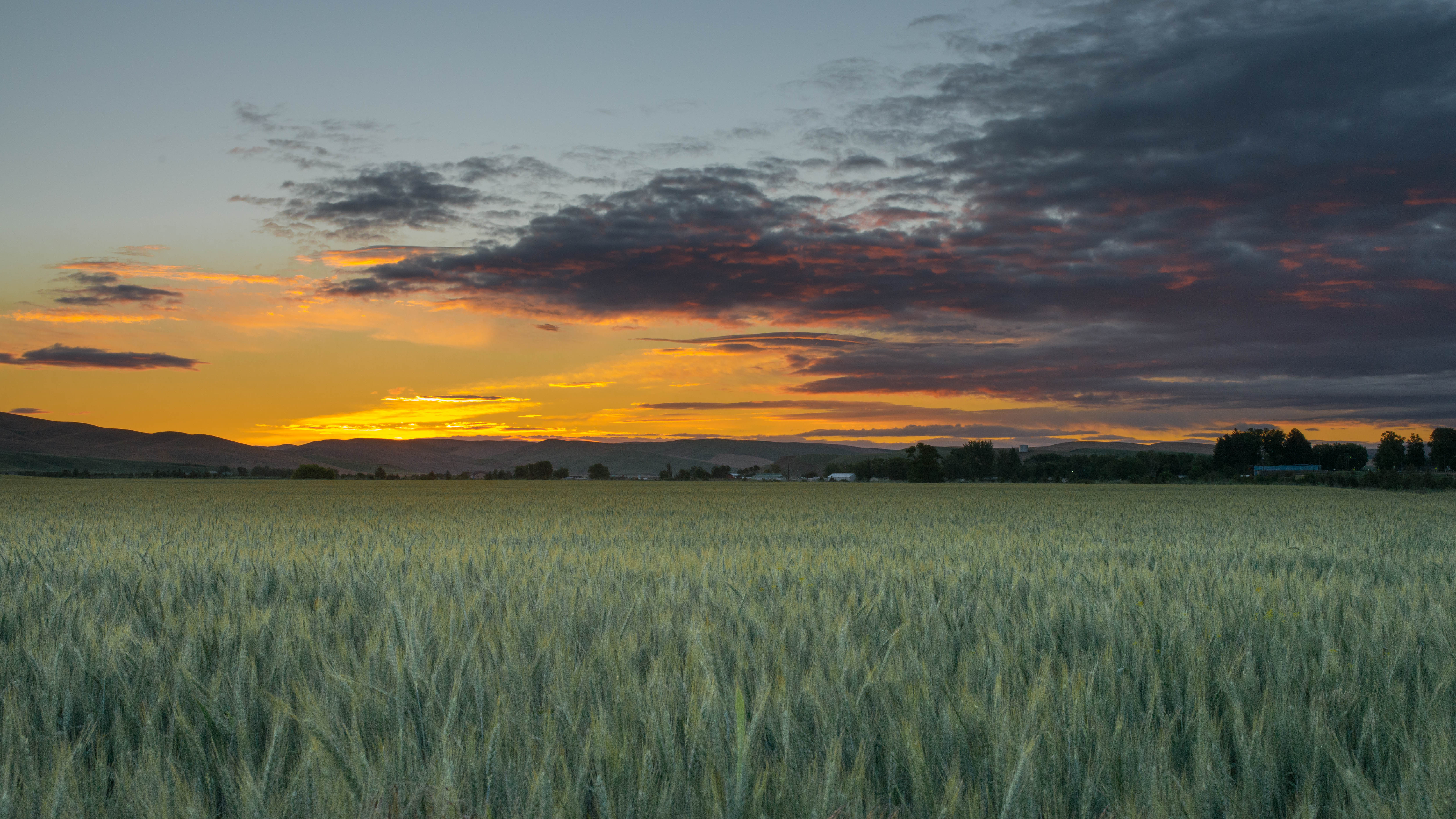
Sunrise Wheat Field
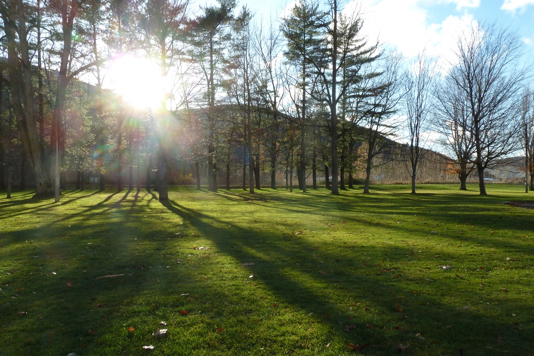
park shadows

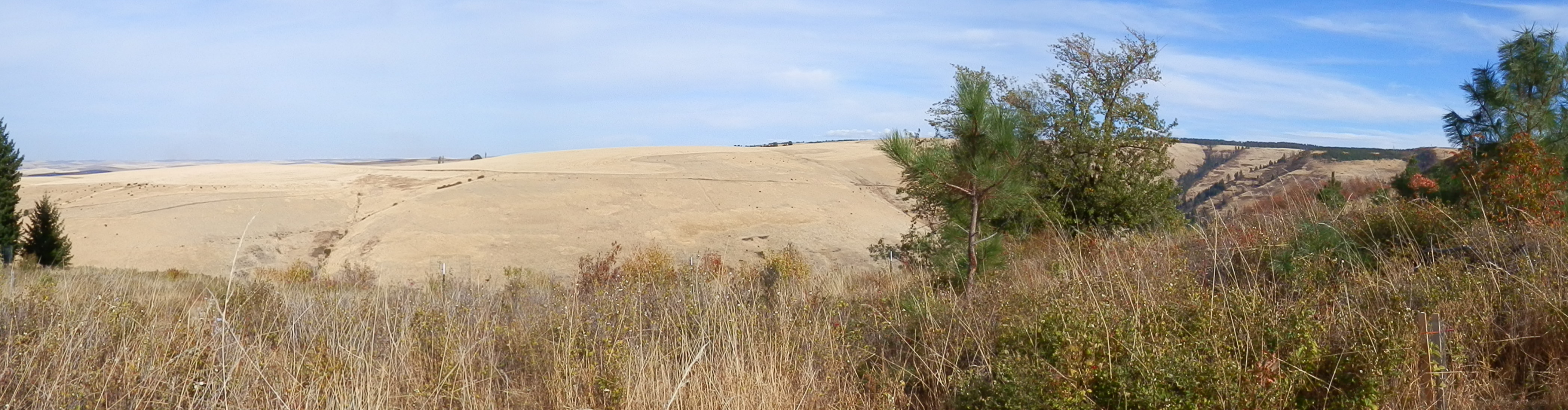
Palouse road
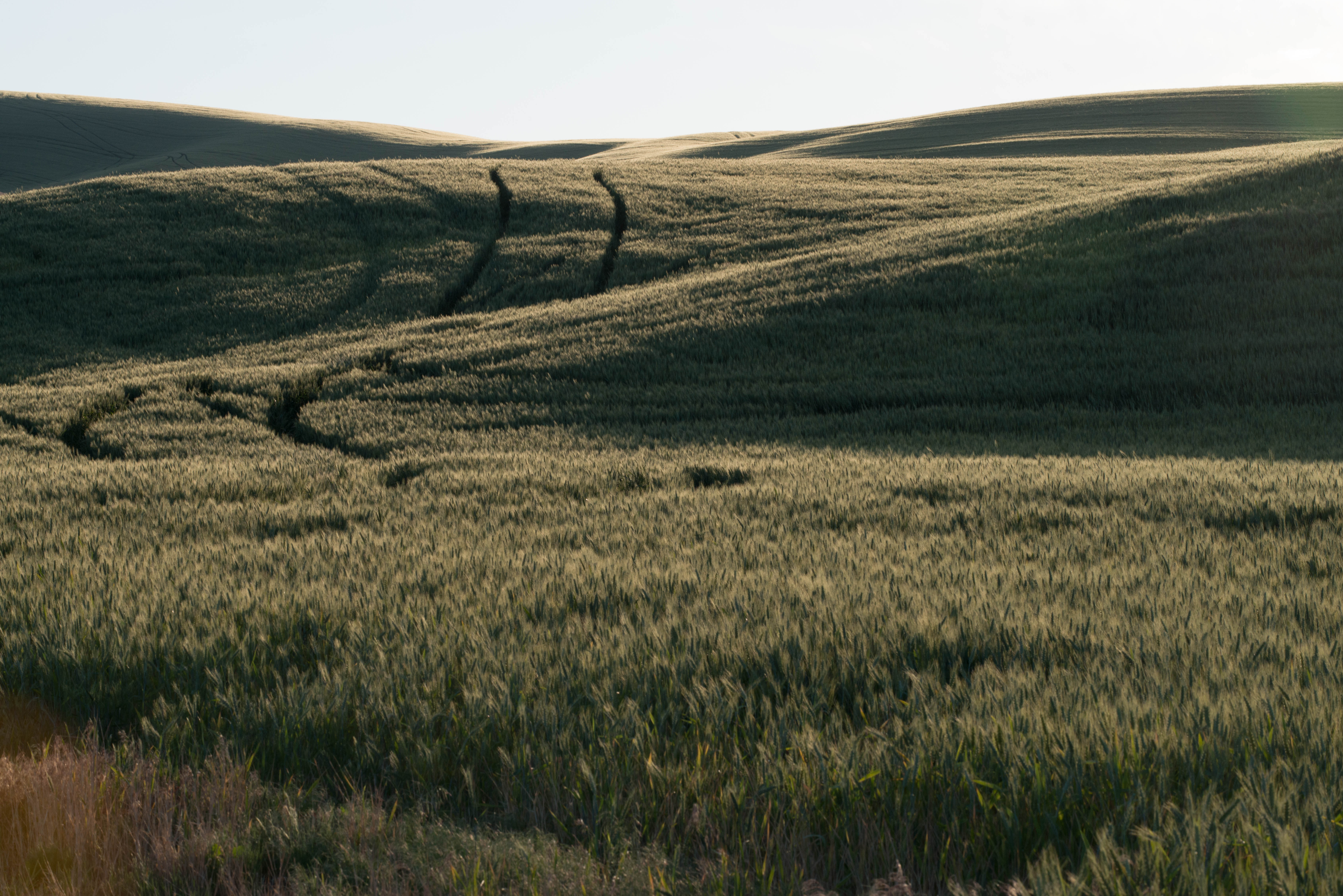
Tracks in Wheat

First Light
touchet river - rock hill
Rocky Point, Jasper Mt.
Patit Creek Campsite, Dayton, WA
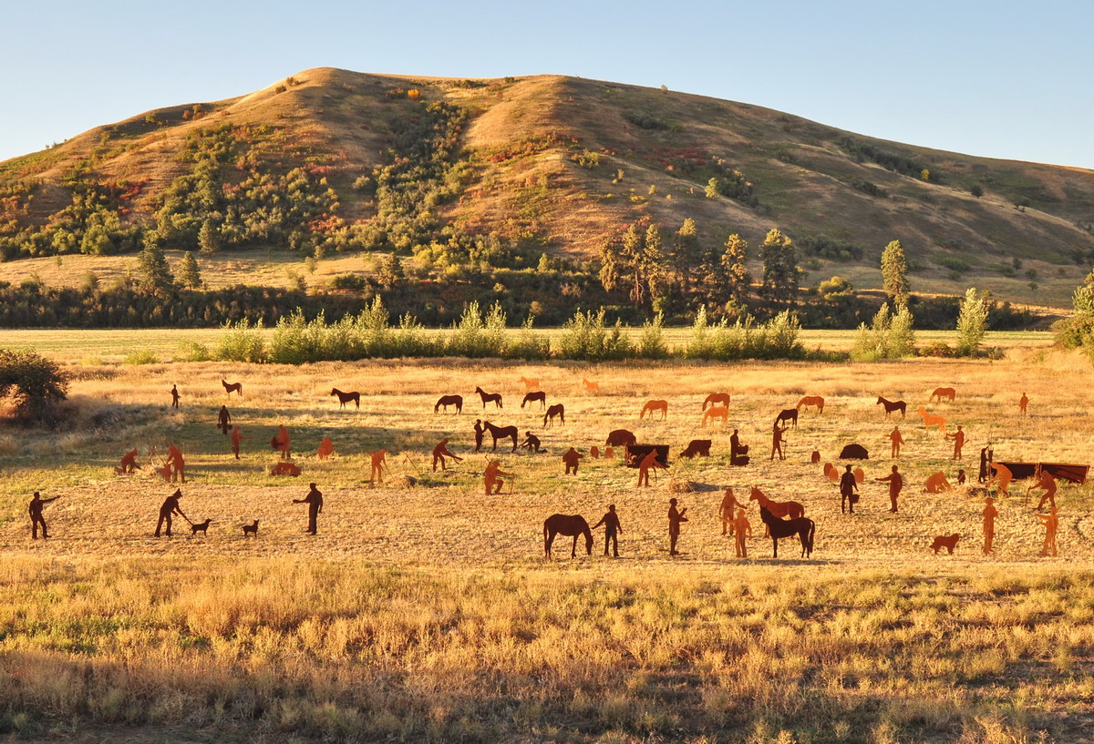
section 14

Sunrise over Rolling Wheat Fields
Wheat Field at Dawn
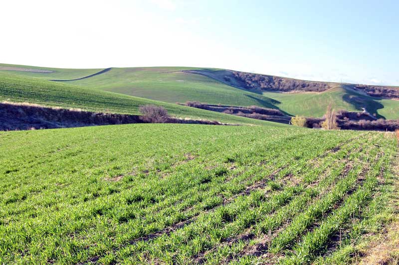
Spring Wheat
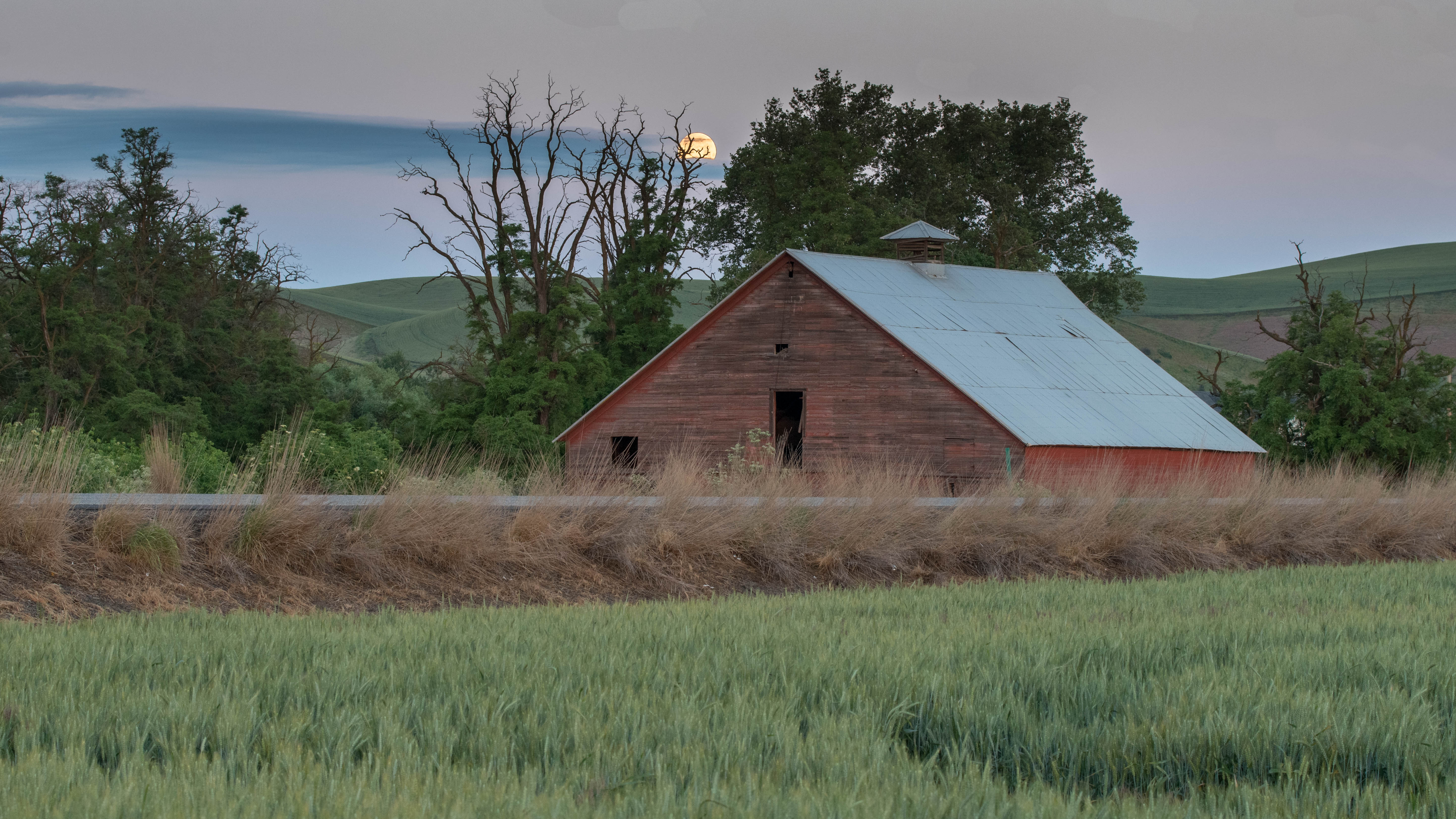
Moon Fall over Barn

Palouse poppies
Topographic Map of Lower Hogeye Road, Lower Hogeye Rd, Washington, USA
Find elevation by address:

Places near Lower Hogeye Road, Lower Hogeye Rd, Washington, USA:
226 W Patit Ave
102 W Patit Ave
210 E Patit Ave
217 E Patit Ave
298 E Patit St
306 E Patit St
303 E Patit Ave
314 E Patit St
307 E Patit Ave
518 S 1st St
311 E Patit Ave
312 E Patit Ave
317 E Patit Ave
307 E Main St
515 S 1st St
318 E Patit Ave
402 E Patit Ave
513 E Washington Ave
615 E Patit St
722 E Dayton Ave
Recent Searches:
- Elevation of Spaceport America, Co Rd A, Truth or Consequences, NM, USA
- Elevation of Warwick, RI, USA
- Elevation of Fern Rd, Whitmore, CA, USA
- Elevation of 62 Abbey St, Marshfield, MA, USA
- Elevation of Fernwood, Bradenton, FL, USA
- Elevation of Felindre, Swansea SA5 7LU, UK
- Elevation of Leyte Industrial Development Estate, Isabel, Leyte, Philippines
- Elevation of W Granada St, Tampa, FL, USA
- Elevation of Pykes Down, Ivybridge PL21 0BY, UK
- Elevation of Jalan Senandin, Lutong, Miri, Sarawak, Malaysia