Elevation of Lewis Peak Rd, Waitsburg, WA, USA
Location: United States > Washington > Walla Walla County > Waitsburg >
Longitude: -118.03357
Latitude: 46.1023826
Elevation: 1066m / 3497feet
Barometric Pressure: 89KPa
Elevation Map:
Satellite Map:
Related Photos:
Table Rock Views-9
Table Rock Views-5

Table Rock Views-10

Table Rock Views-8

Table Rock Views- 1

Table Rock Views-4
Table Rock Views-3
Table Rock Views-6
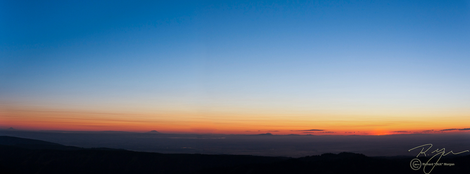
Table Rock Views-12
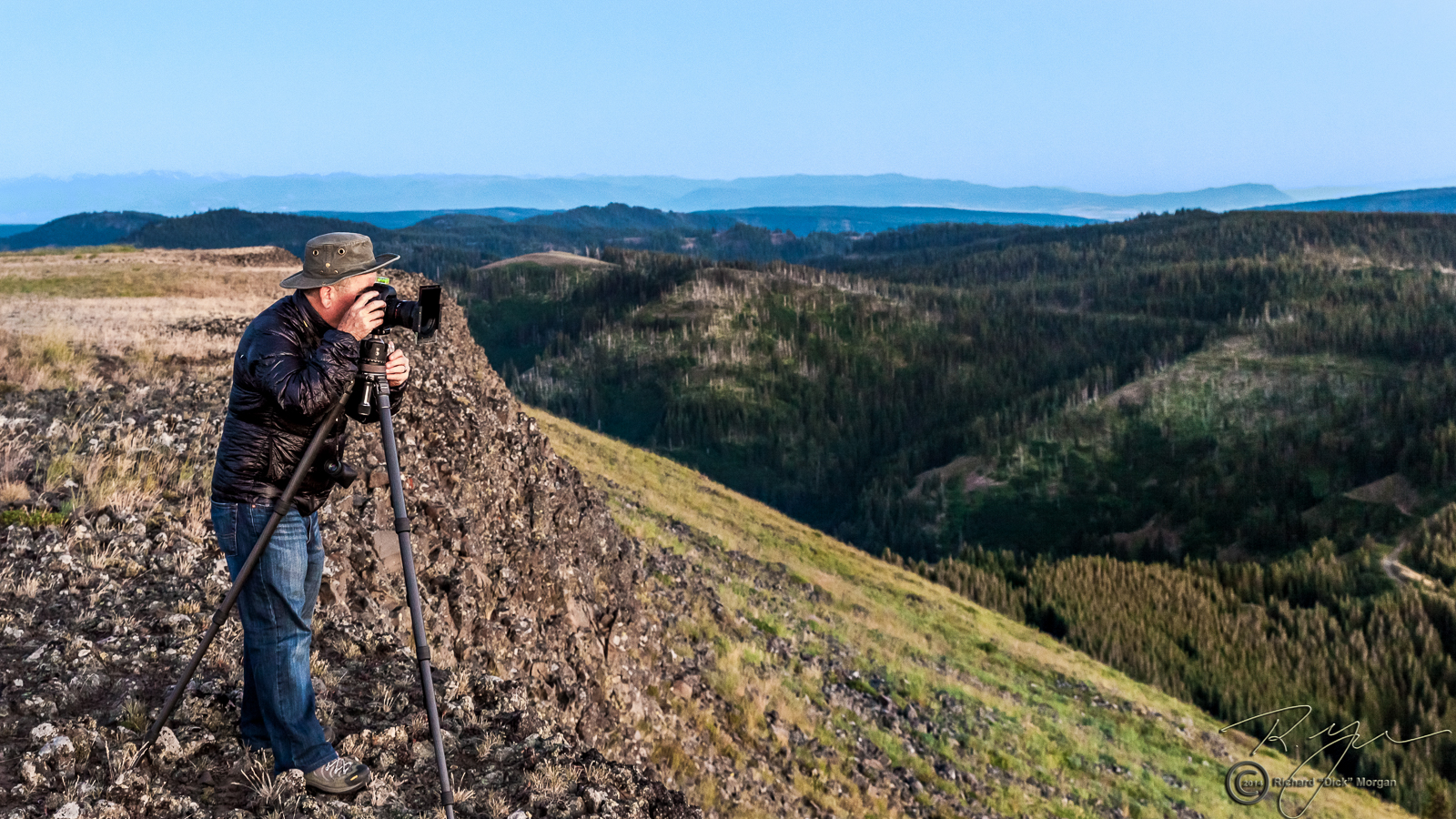
Table Rock Views- 2

Table Rock Views-11

A warning sign warning of no warning signs.

Walla Walla county

Country Drive'n

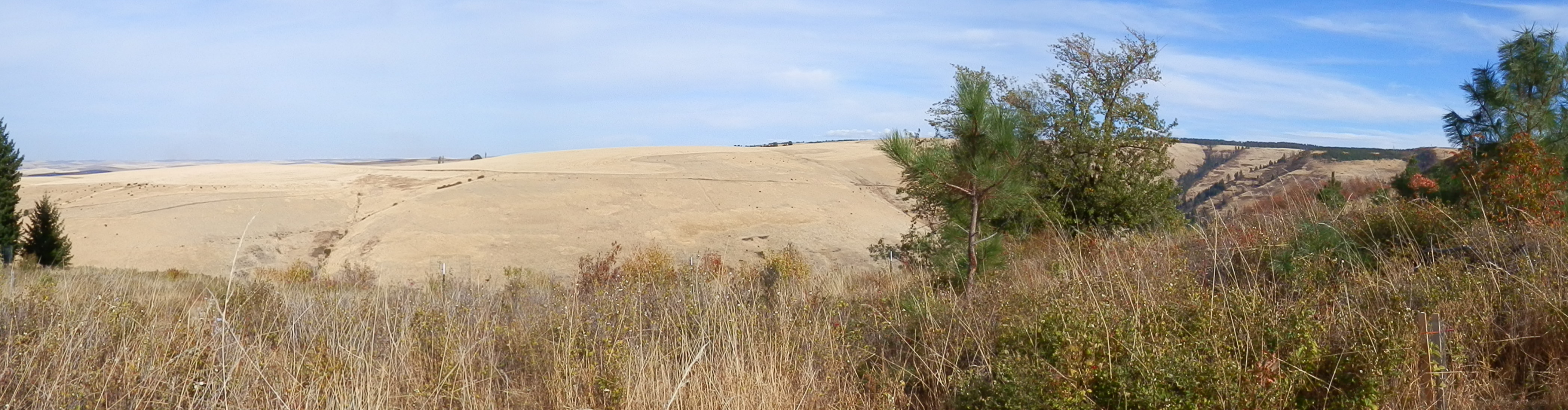
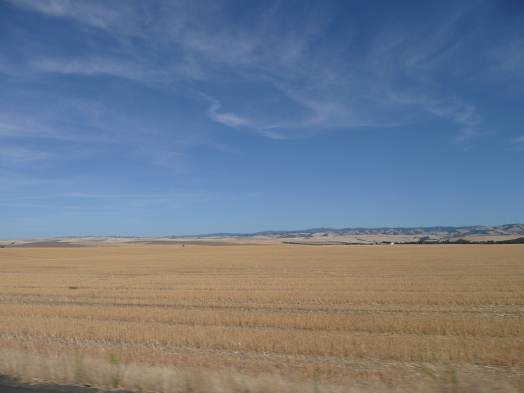
end of the wheat

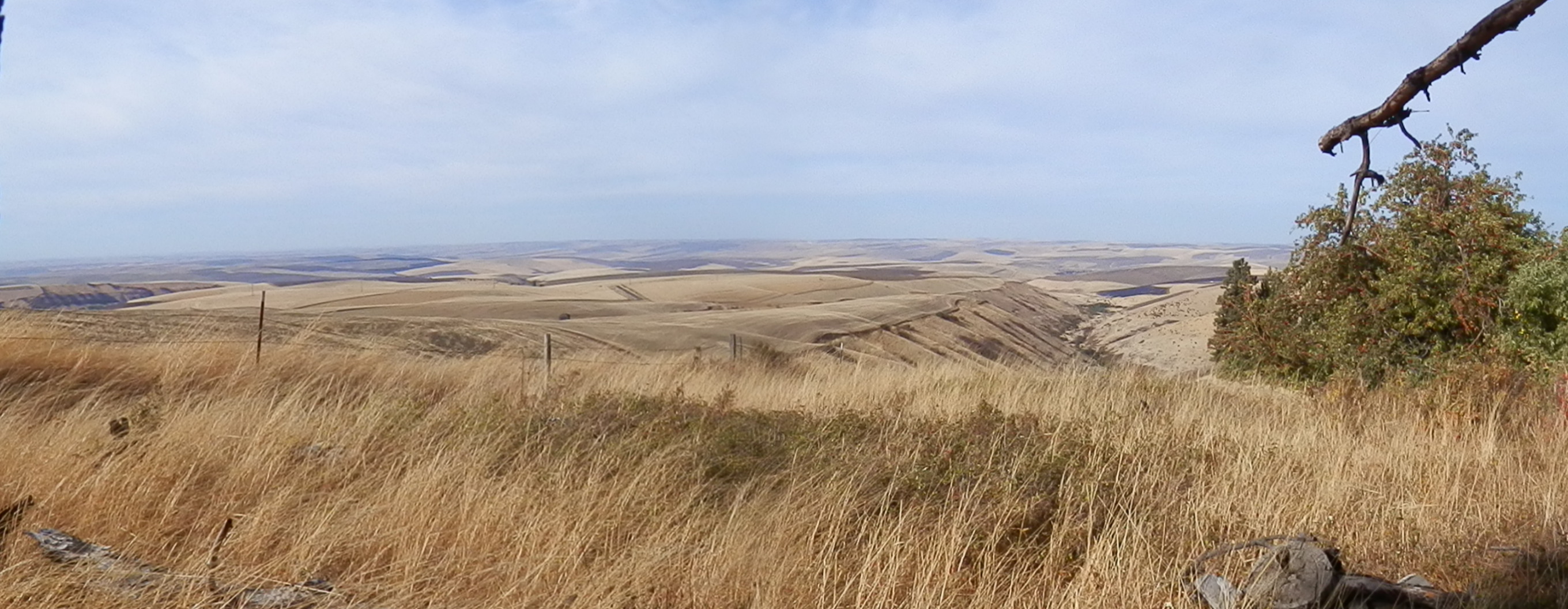
Palouse road
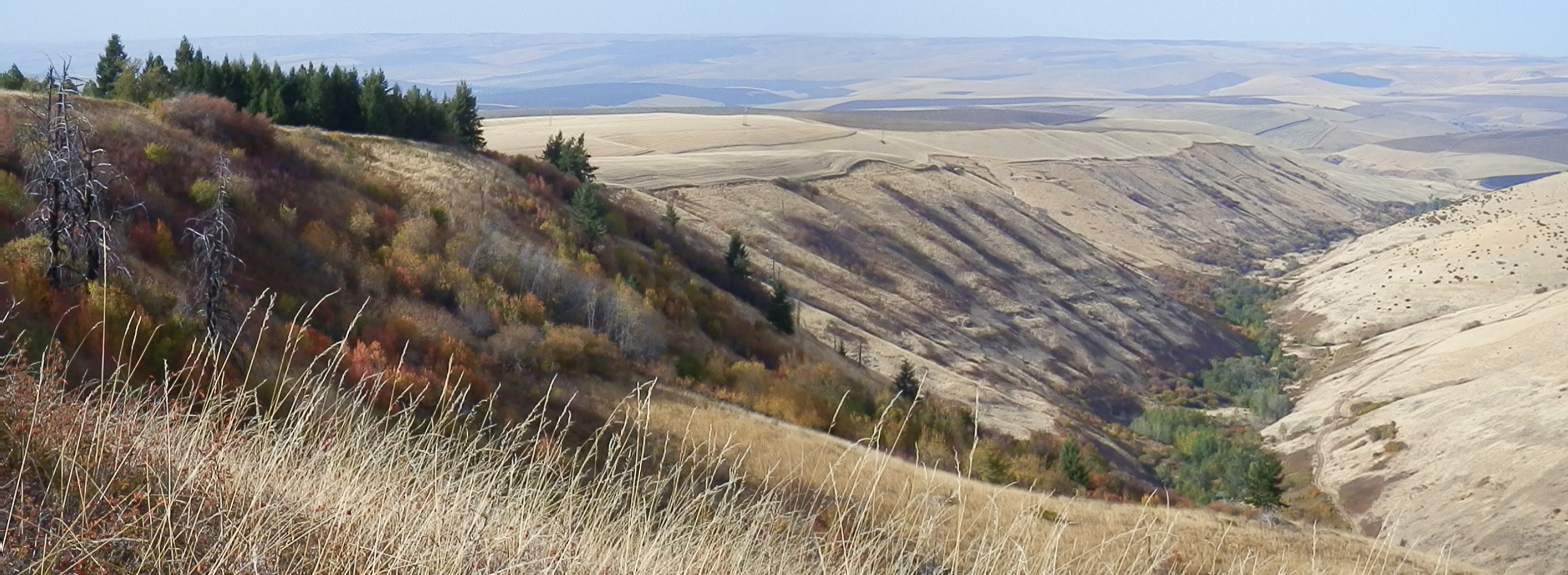
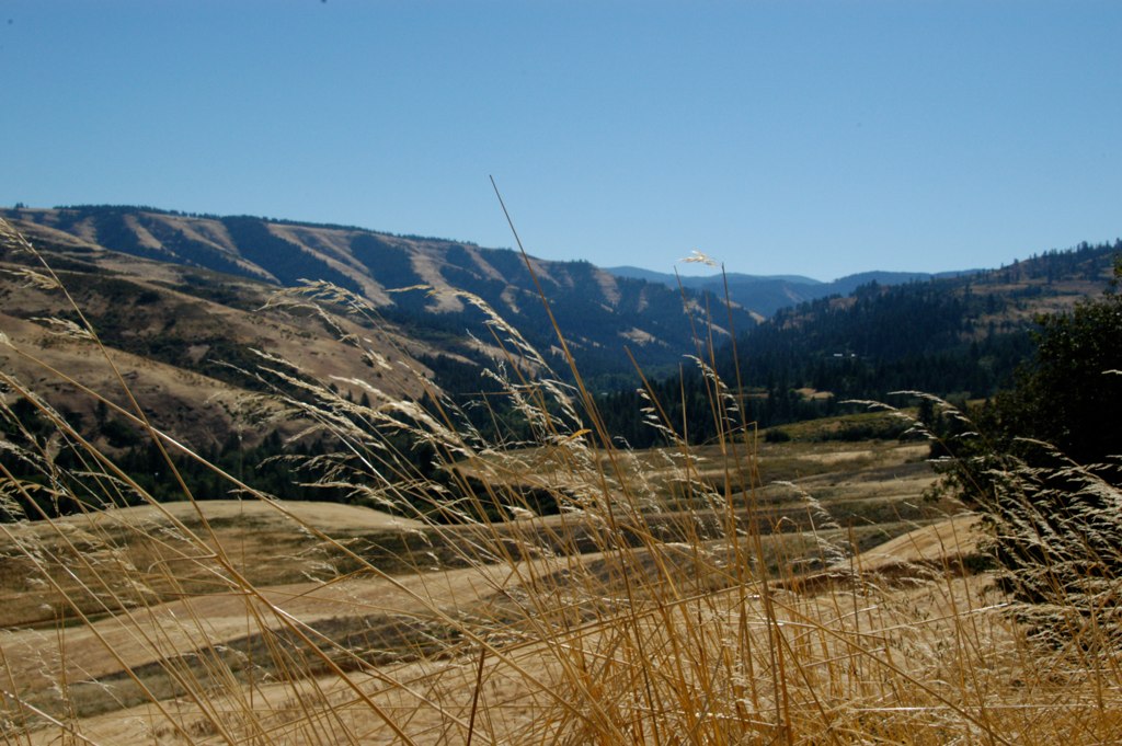
Blue Mountains

Harvesttide fields

Spring Creek valley
section 14
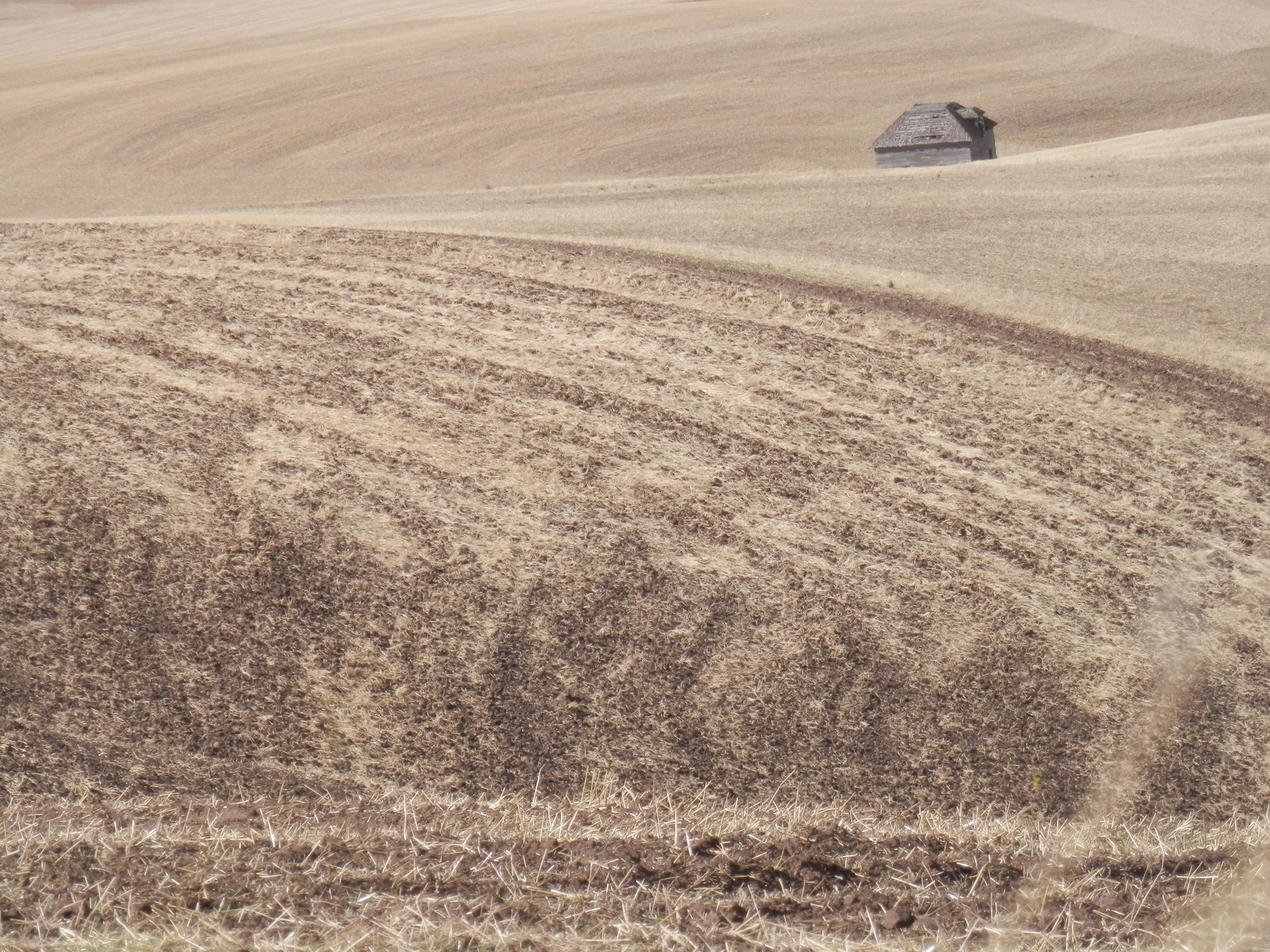
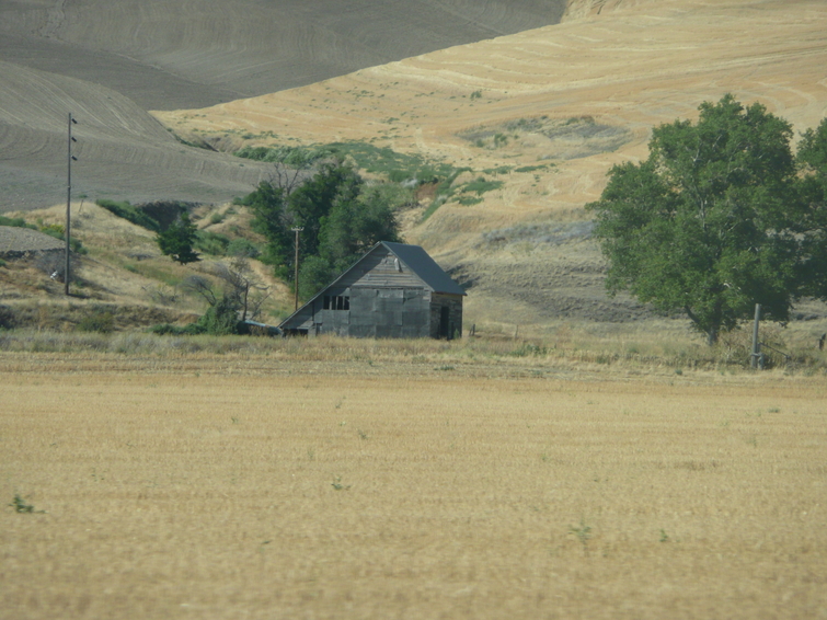
Alvord cabin in wheatfields
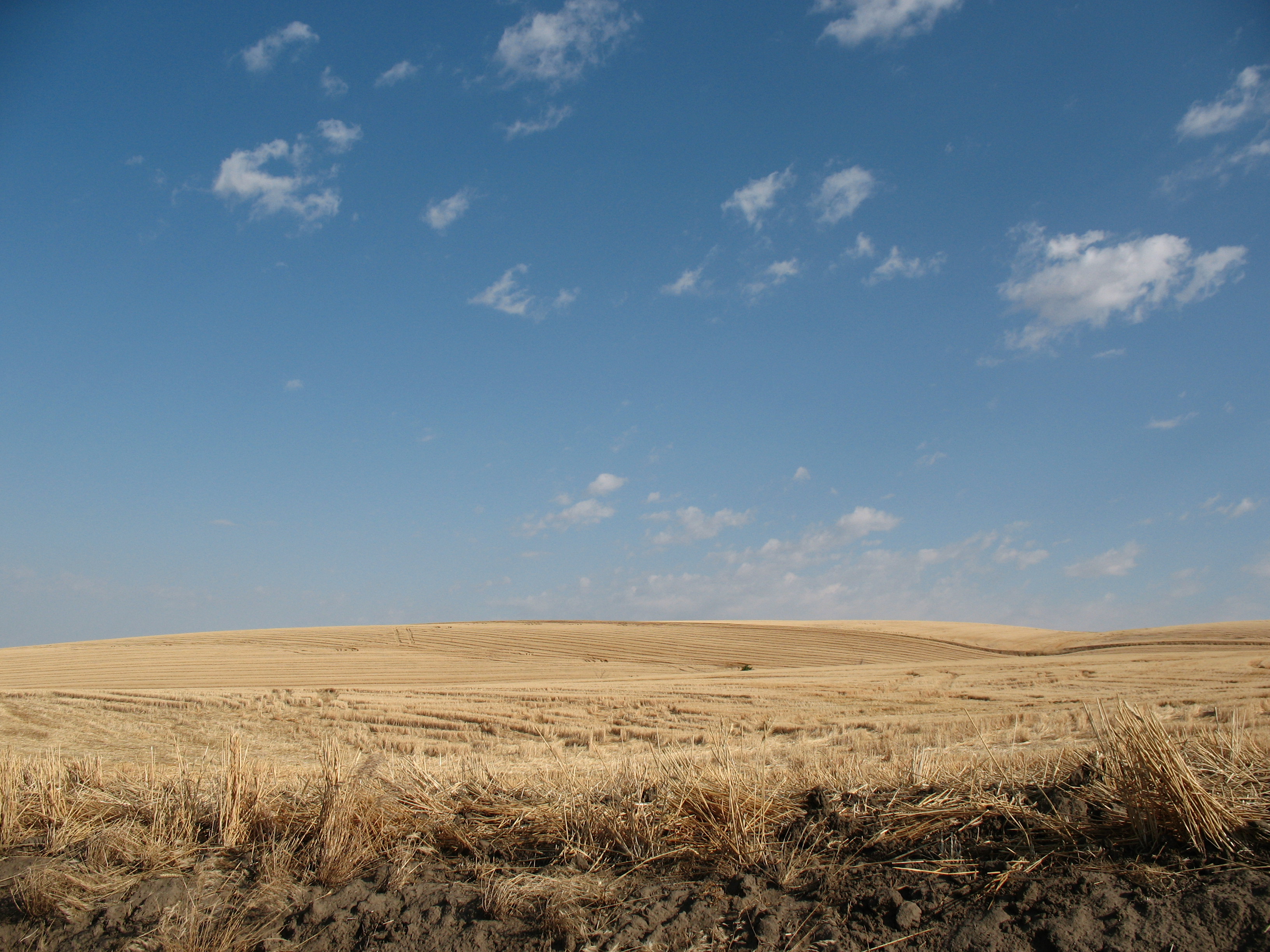
Harvested fields
Rocky Point, Jasper Mt.
Palouse 4
Palouse 1

wheat fields

More foothills
The Palouse wheatfields.
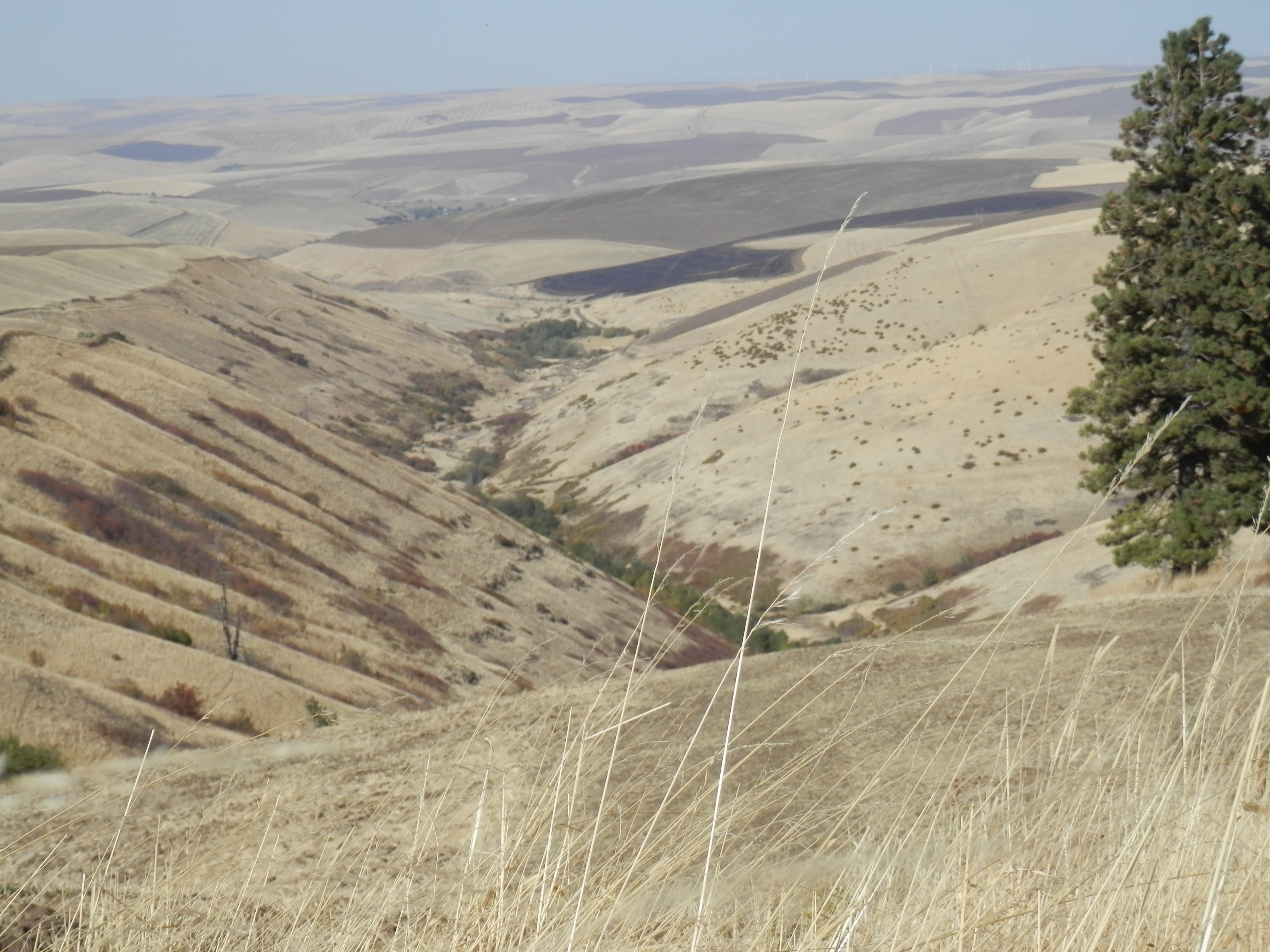
Whiskey Creek valley
wheat fields
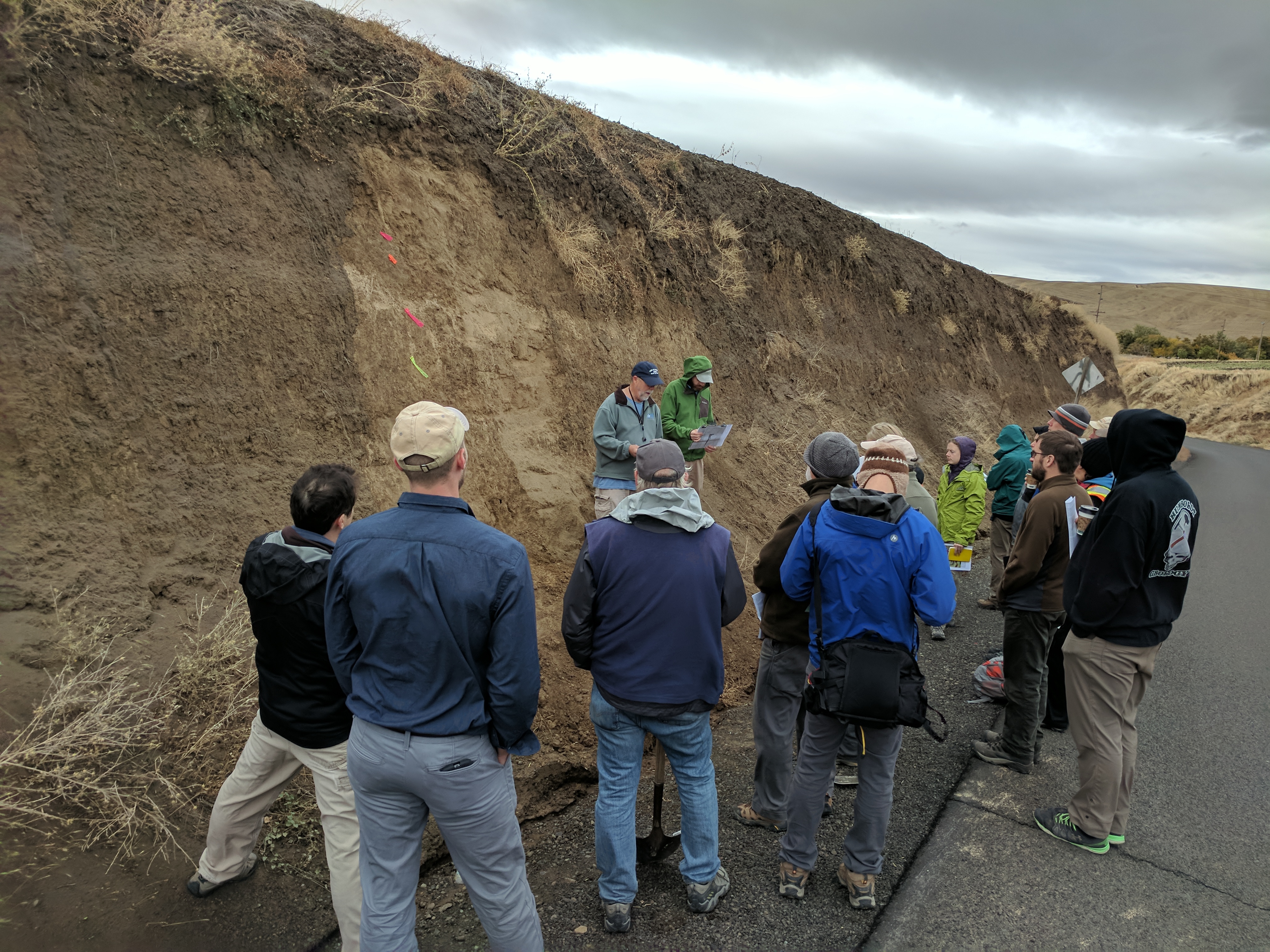
GSA field trip day 3 - flagged and labelled roadcut
Topographic Map of Lewis Peak Rd, Waitsburg, WA, USA
Find elevation by address:

Places near Lewis Peak Rd, Waitsburg, WA, USA:
Scott Road
5000 Lewis Peak Rd
Lewis Peak Road
11634 Biscuit Ridge Rd
Kooskooskie Road
242 Kooskooskie Rd
60818 Mill Creek Rd
61160 Mill Creek Rd
Lower Hogeye Road
100 Montgomery Ln
218 S Touchet Rd
518 S 1st St
515 S 1st St
226 W Patit Ave
102 W Patit Ave
307 E Main St
210 E Patit Ave
306 E Patit St
217 E Patit Ave
298 E Patit St
Recent Searches:
- Elevation of W Granada St, Tampa, FL, USA
- Elevation of Pykes Down, Ivybridge PL21 0BY, UK
- Elevation of Jalan Senandin, Lutong, Miri, Sarawak, Malaysia
- Elevation of Bilohirs'k
- Elevation of 30 Oak Lawn Dr, Barkhamsted, CT, USA
- Elevation of Luther Road, Luther Rd, Auburn, CA, USA
- Elevation of Unnamed Road, Respublika Severnaya Osetiya — Alaniya, Russia
- Elevation of Verkhny Fiagdon, North Ossetia–Alania Republic, Russia
- Elevation of F. Viola Hiway, San Rafael, Bulacan, Philippines
- Elevation of Herbage Dr, Gulfport, MS, USA