Elevation of Scott Road, Scott Rd, Long Creek, NC, USA
Location: United States > North Carolina > Pender County > Rocky Point > Rocky Point >
Longitude: -77.981312
Latitude: 34.448843
Elevation: 10m / 33feet
Barometric Pressure: 101KPa
Elevation Map:
Satellite Map:
Related Photos:

Hidden Rest Stop

My view of Hurricane Arthur from my desk at work

1311 Widow Moores Bridge Img_19459

1312 Widow Moores Bridge Img_19459 A

Pender Cnty Cthouse-S view

Pender Cnty Cthouse-W view

Pender Cnty cthouse-w view 2

Heide Trask High School, Rocky Point, NC

Heide Trask High School, Rocky Point, NC

Northeast Cape Fear Railroad Swing Bridge
Bluff Edge

ACL Swing Bridge over the NE Cape Fear

I-140

US 117/NC 133 NE Cape Fear Bridge

ACL Swing Bridge over the NE Cape Fear, in sepia

US 117/NC 133 NE Cape Fear Bridge

US 117/NC 133 NE Cape Fear Bridge, in sepia

US 117/NC 133 NE Cape Fear Bridge, in B&W
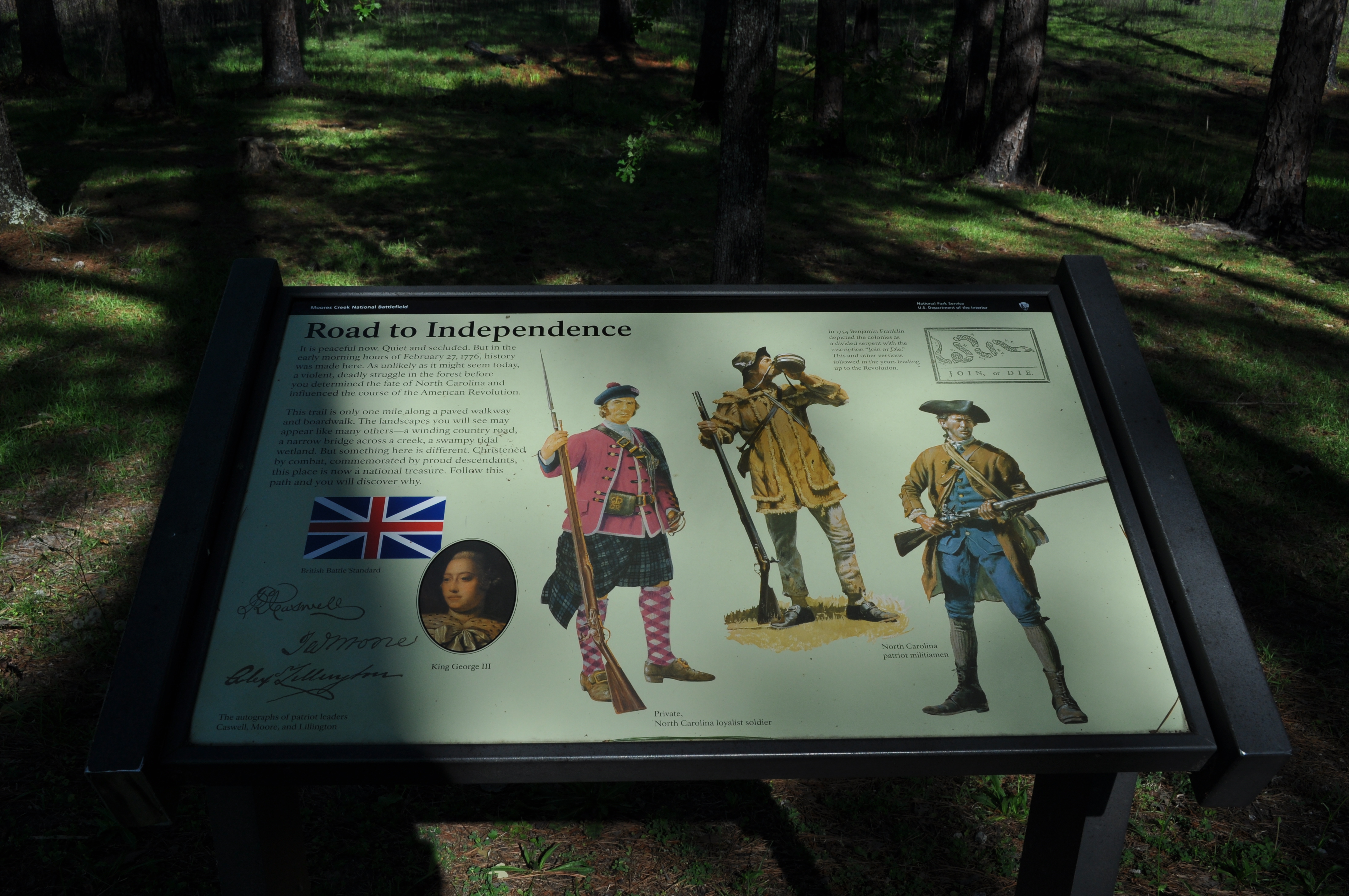
1295 Road to independence Img_19443
Moores Creek National Battlefield, Pender County (N.C.), 20 May 1978

Moores Creek National Battlefield, Pender County (N.C.), 20 May 1978

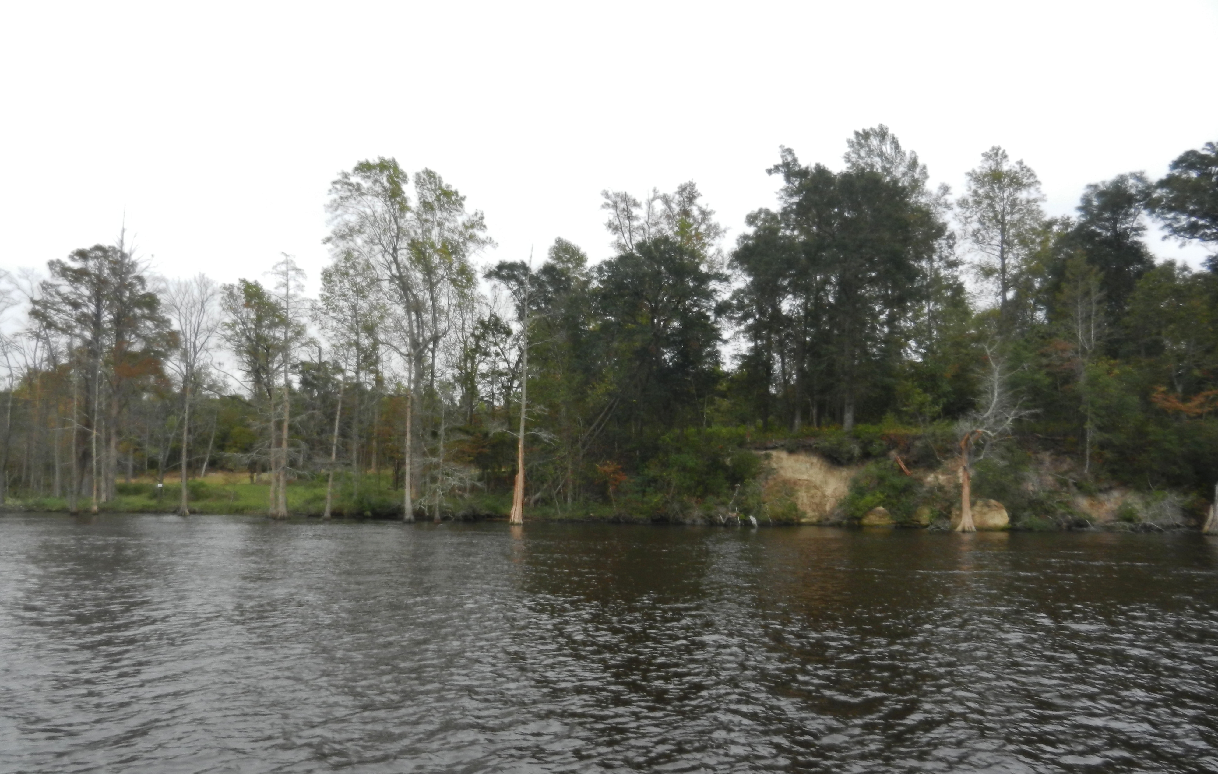
Moores Creek National Battlefield - the creek

Moores Creek NB, NC

Moores Creek National Battlefield - the pines

1358 Ghost of an Industry Img_19504

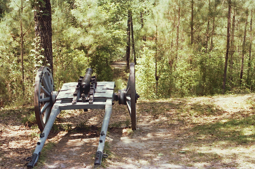
Moores Creek National Battlefield

1298 Changing Landscape Img_19446

1348 Tarheel Trail Img_19494
Topographic Map of Scott Road, Scott Rd, Long Creek, NC, USA
Find elevation by address:

Places near Scott Road, Scott Rd, Long Creek, NC, USA:
20554 Nc-210
21363 Nc-210
NC-, Rocky Point, NC, USA
1466 Clarks Landing Rd
17785 Nc-210
25 Arvida Spur Rd
71 Gobbler Ct
184 Schoolview Dr
31 Deepwoods Ridge
Winding Creek Road
143 Toms Creek Rd
127 Toms Creek Road
Rocky Point
820 Pond Rd
710 Ridgecrest Ln
524 Winding Creek Rd
232 Hearthside Dr
Rocky Point
340 Nc-133
9438 Us-117
Recent Searches:
- Elevation of Dog Leg Dr, Minden, NV, USA
- Elevation of Dog Leg Dr, Minden, NV, USA
- Elevation of Kambingan Sa Pansol Atbp., Purok 7 Pansol, Candaba, Pampanga, Philippines
- Elevation of Pinewood Dr, New Bern, NC, USA
- Elevation of Mountain View, CA, USA
- Elevation of Foligno, Province of Perugia, Italy
- Elevation of Blauwestad, Netherlands
- Elevation of Bella Terra Blvd, Estero, FL, USA
- Elevation of Estates Loop, Priest River, ID, USA
- Elevation of Woodland Oak Pl, Thousand Oaks, CA, USA