Elevation of Toms Creek Road, Rocky Point, NC, USA
Location: United States > North Carolina > Pender County > Rocky Point > Rocky Point >
Longitude: -77.922822
Latitude: 34.3929299
Elevation: 7m / 23feet
Barometric Pressure: 101KPa
Elevation Map:
Satellite Map:
Related Photos:

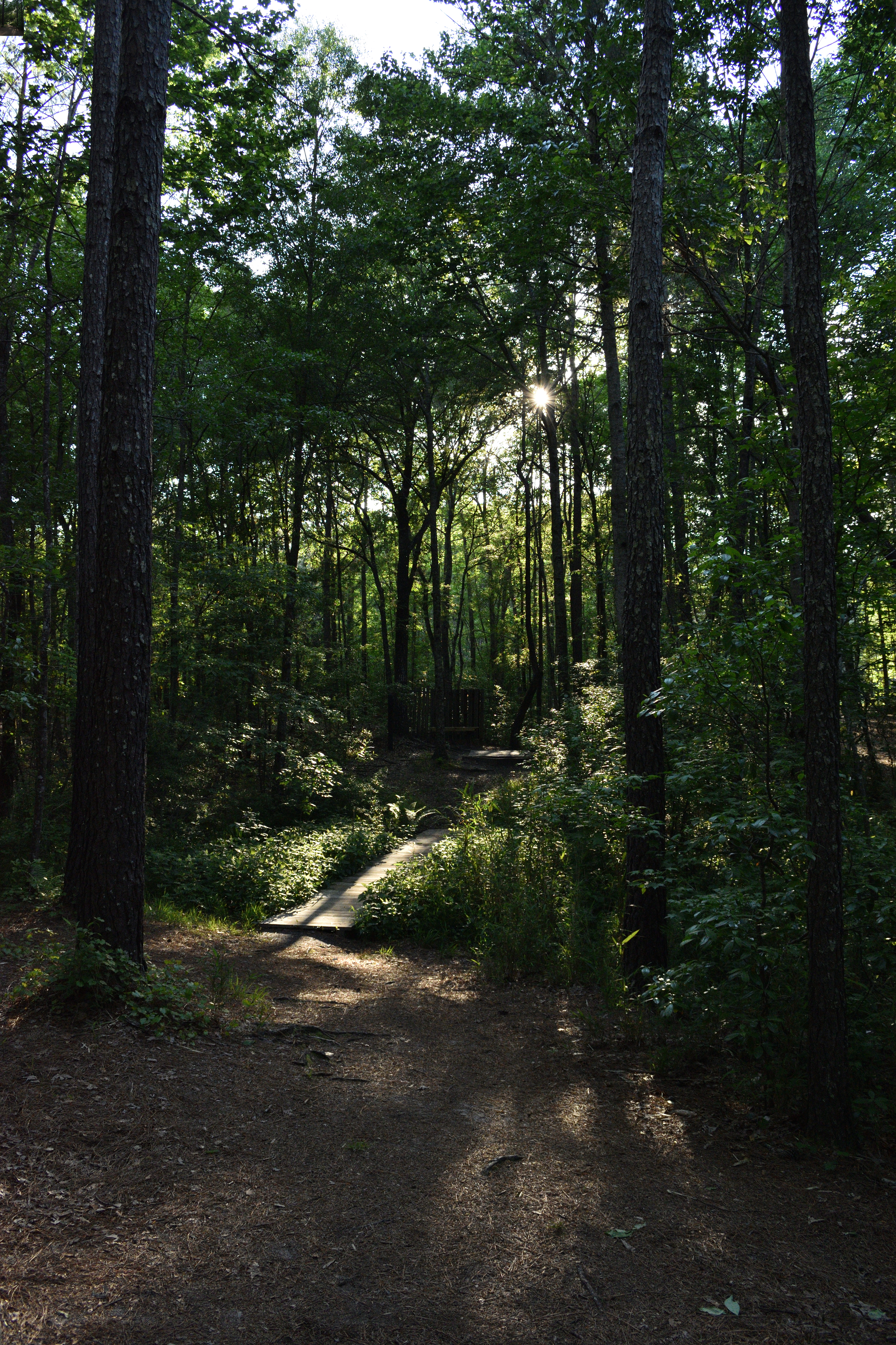
The Swamp
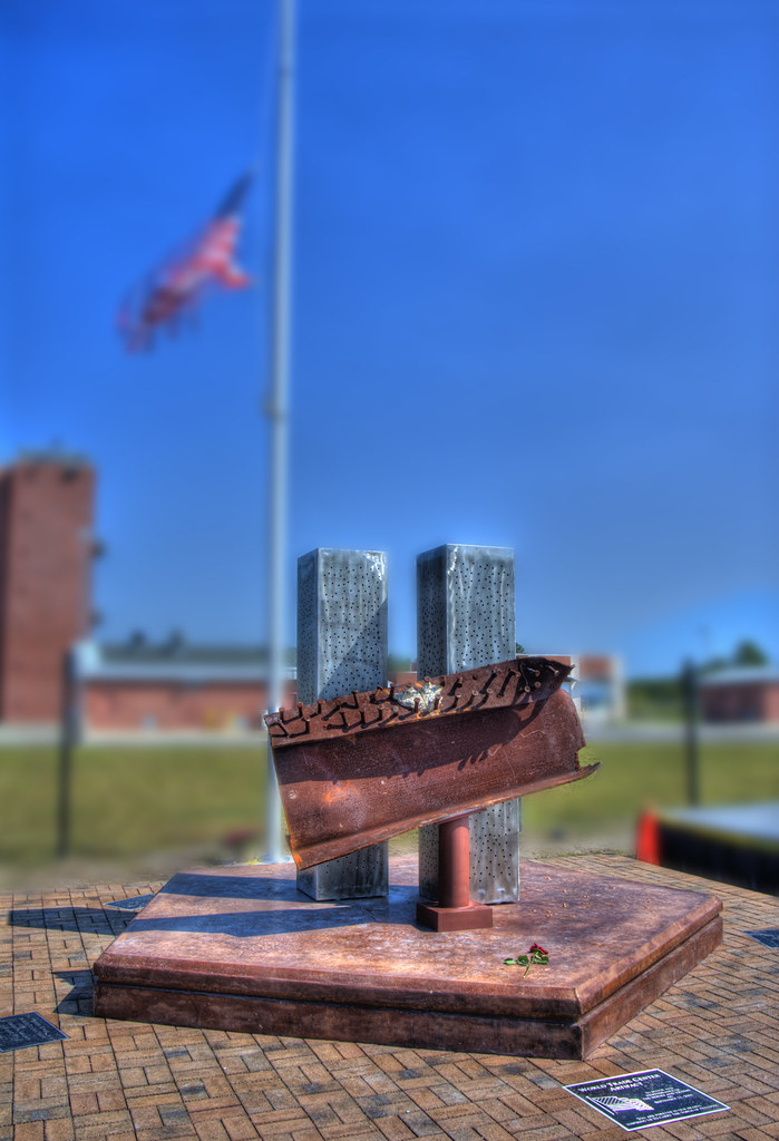
002/365 - Never Forget September 11, 2001
Hidden Rest Stop

Down to Earth

Swamp Reflections
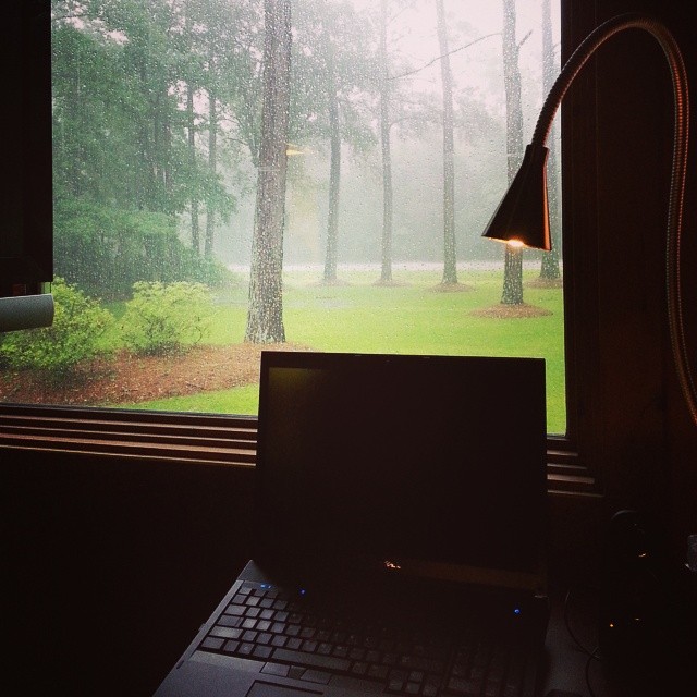
My view of Hurricane Arthur from my desk at work
#222 for project 365
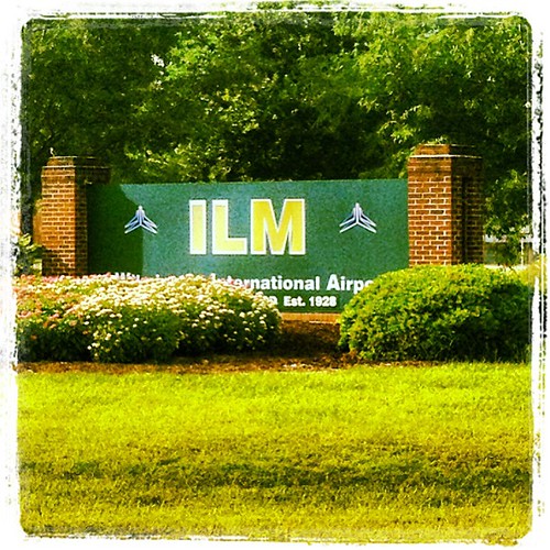
Touchdown! #Wilmington #North #Carolina

Wilmington, NC -- Night is near

Happy Fence Friday! HFF
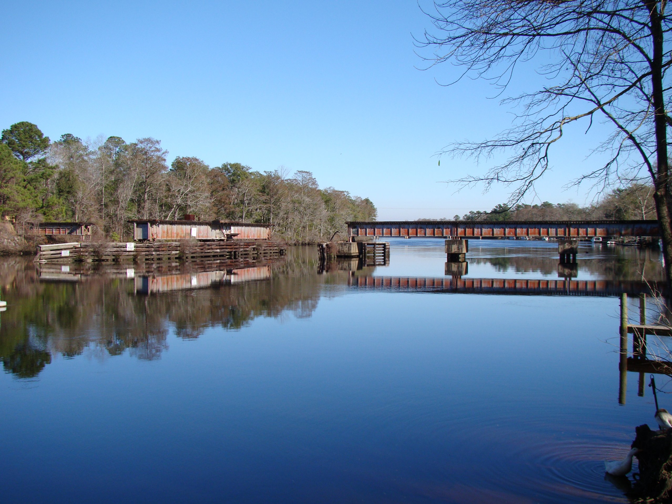
ACL Swing Bridge over the NE Cape Fear
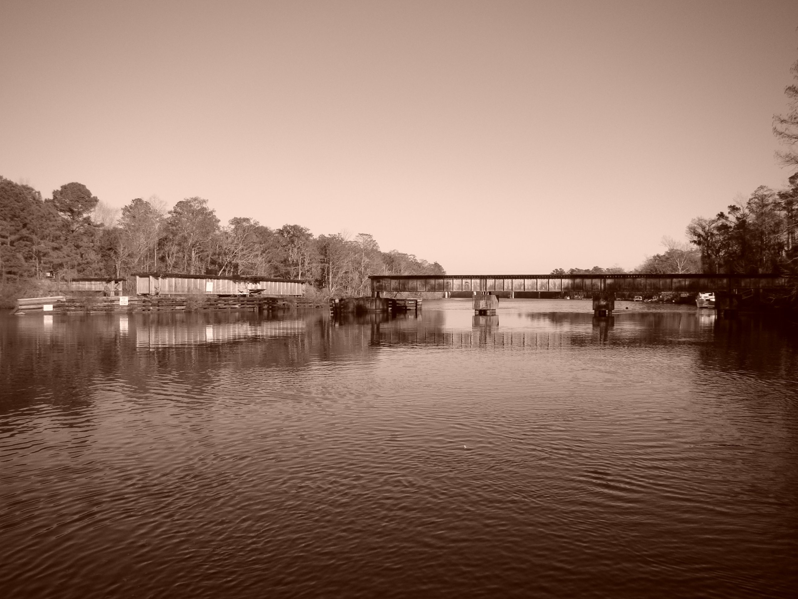
ACL Swing Bridge over the NE Cape Fear, in sepia
Northeast Cape Fear Railroad Swing Bridge
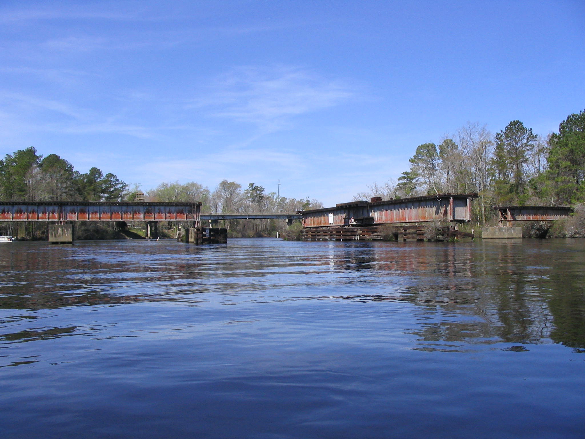
Fixed Truss Section
Cape Fear CSX RR Bridge
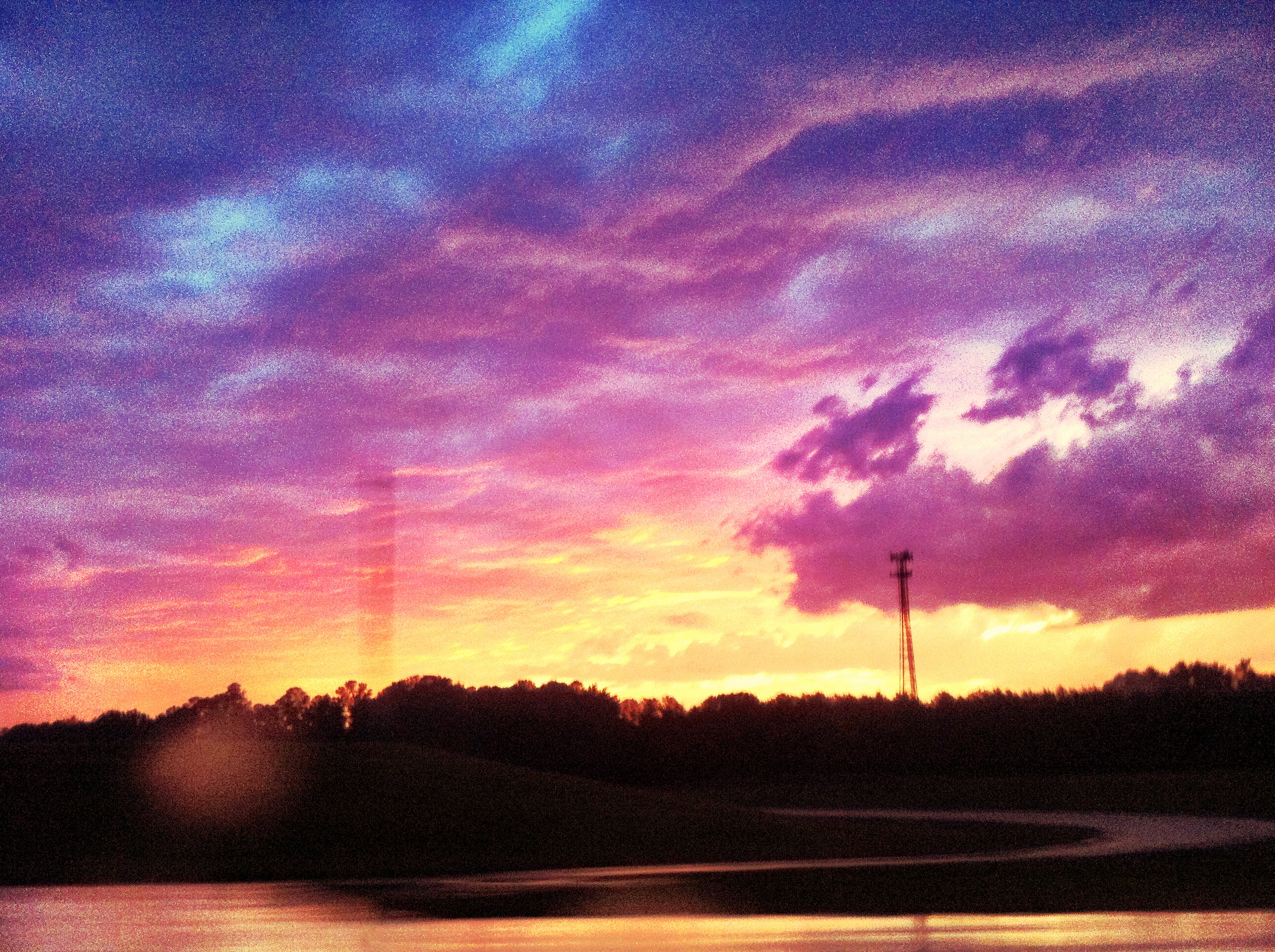
Sunset 2 A

Reflections of a swamp

Koa Ogden nc
Smith Creek

U-Pick IR
Speedway Sunset at 70 MPH

Under the bridge
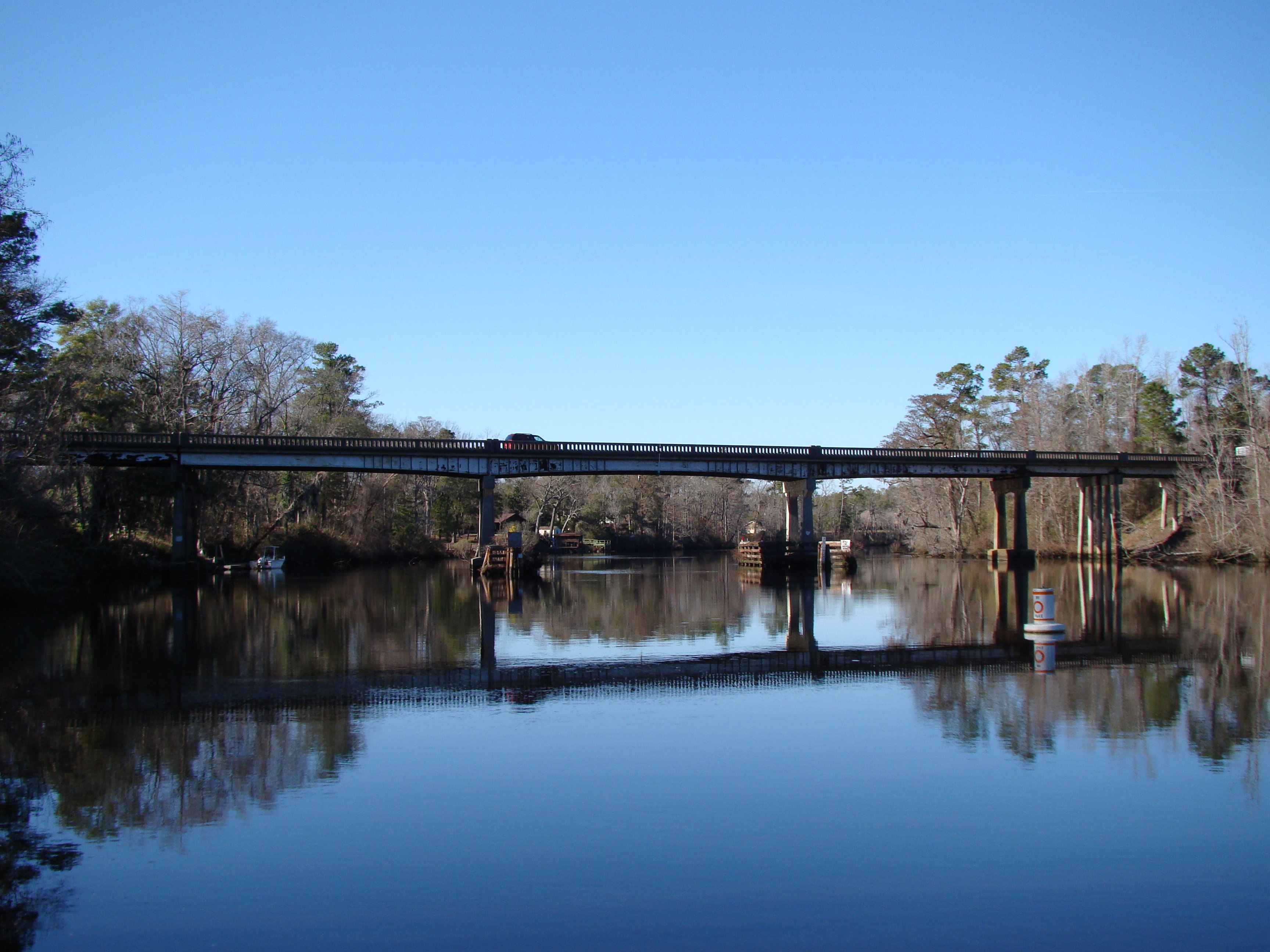
US 117/NC 133 NE Cape Fear Bridge
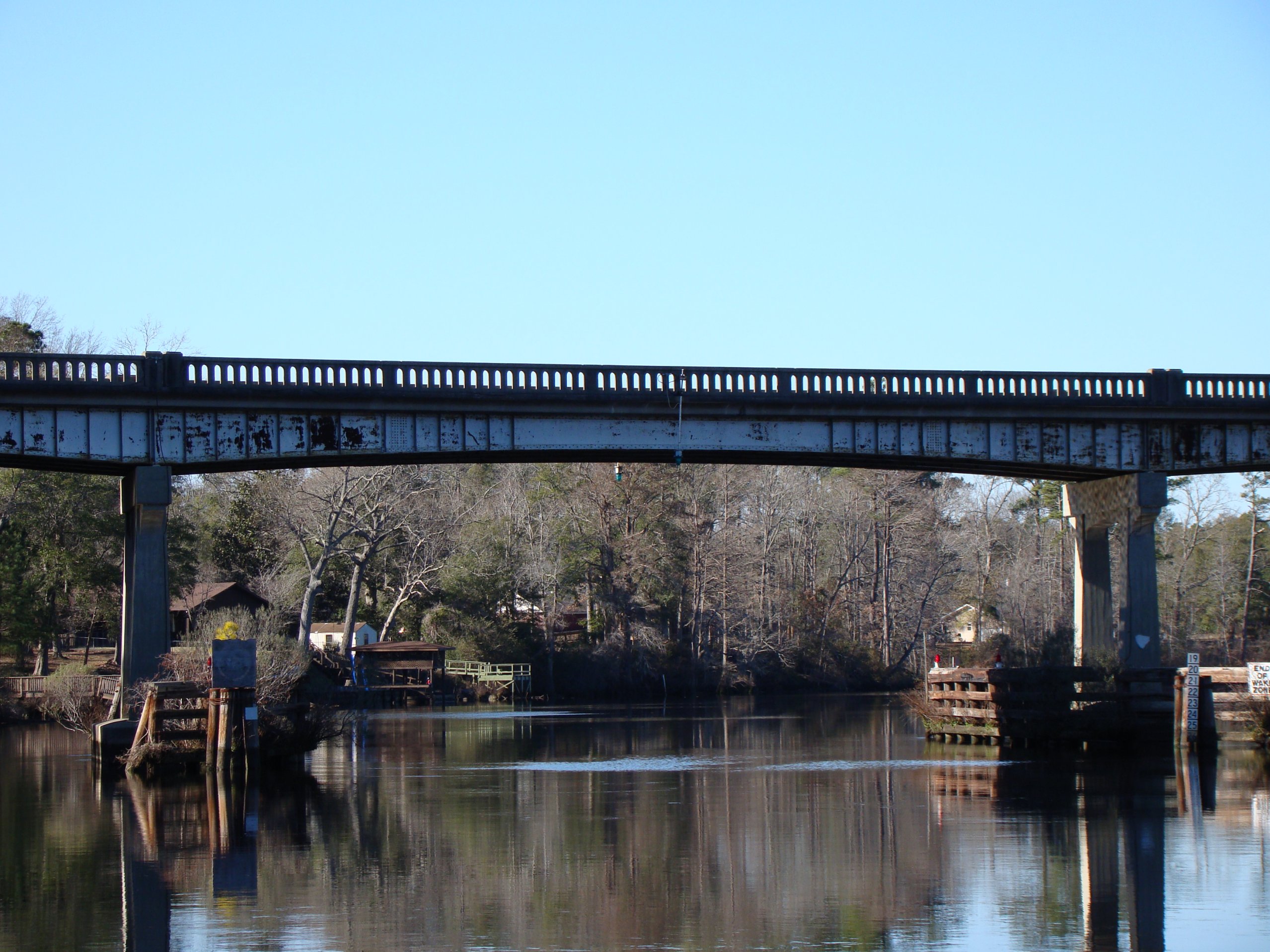
US 117/NC 133 NE Cape Fear Bridge

US 117/NC 133 NE Cape Fear Bridge, in sepia
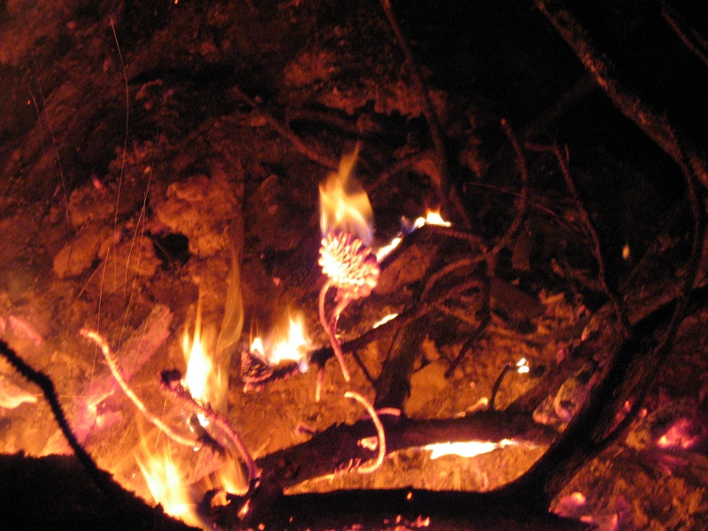
Phil's first digital fire photo.

Burnt Mill Creek Cleanup - March 2010

Cosmos along the MLK Pkwy
Topographic Map of Toms Creek Road, Rocky Point, NC, USA
Find elevation by address:

Places near Toms Creek Road, Rocky Point, NC, USA:
143 Toms Creek Rd
31 Deepwoods Ridge
184 Schoolview Dr
Winding Creek Road
71 Gobbler Ct
232 Hearthside Dr
710 Ridgecrest Ln
524 Winding Creek Rd
100 Goose Neck Rd
25 Arvida Spur Rd
340 Nc-133
820 Pond Rd
Rocky Point
17785 Nc-210
Castle Hayne
Lynn Ave, Castle Hayne, NC, USA
206 Mcclure Cir
4832 Indian Corn Trail
9438 Us-117
NC-, Rocky Point, NC, USA
Recent Searches:
- Elevation of Hobbyhorse Ct, Dover, DE, USA
- Elevation of Horseshoe Ln, Dahlonega, GA, USA
- Elevation of Village Point Dr, Daphne, AL, USA
- Elevation map of Kabardino-Balkarian Republic, Russia
- Elevation of Tyrnyauz, Kabardino-Balkarian Republic, Russia
- Elevation of Sunset Dr, Hernando, MS, USA
- Elevation of Lake Rotoroa, Tasman, New Zealand
- Elevation of George St, New Bern, NC, USA
- Elevation of Cove Rd, Jasper, GA, USA
- Elevation of Cove Rd, Jasper, GA, USA