Elevation of NC-, Rocky Point, NC, USA
Location: United States > North Carolina > Pender County > Rocky Point > Rocky Point >
Longitude: -77.948124
Latitude: 34.42659
Elevation: 16m / 52feet
Barometric Pressure: 101KPa
Elevation Map:
Satellite Map:
Related Photos:

Hidden Rest Stop

1311 Widow Moores Bridge Img_19459

Eagle Nest

My view of Hurricane Arthur from my desk at work

#222 for project 365

1312 Widow Moores Bridge Img_19459 A

Pender Cnty Cthouse-S view

Pender Cnty Cthouse-W view

Pender Cnty cthouse-w view 2

I-140

Heide Trask High School, Rocky Point, NC

Heide Trask High School, Rocky Point, NC

Northeast Cape Fear Railroad Swing Bridge
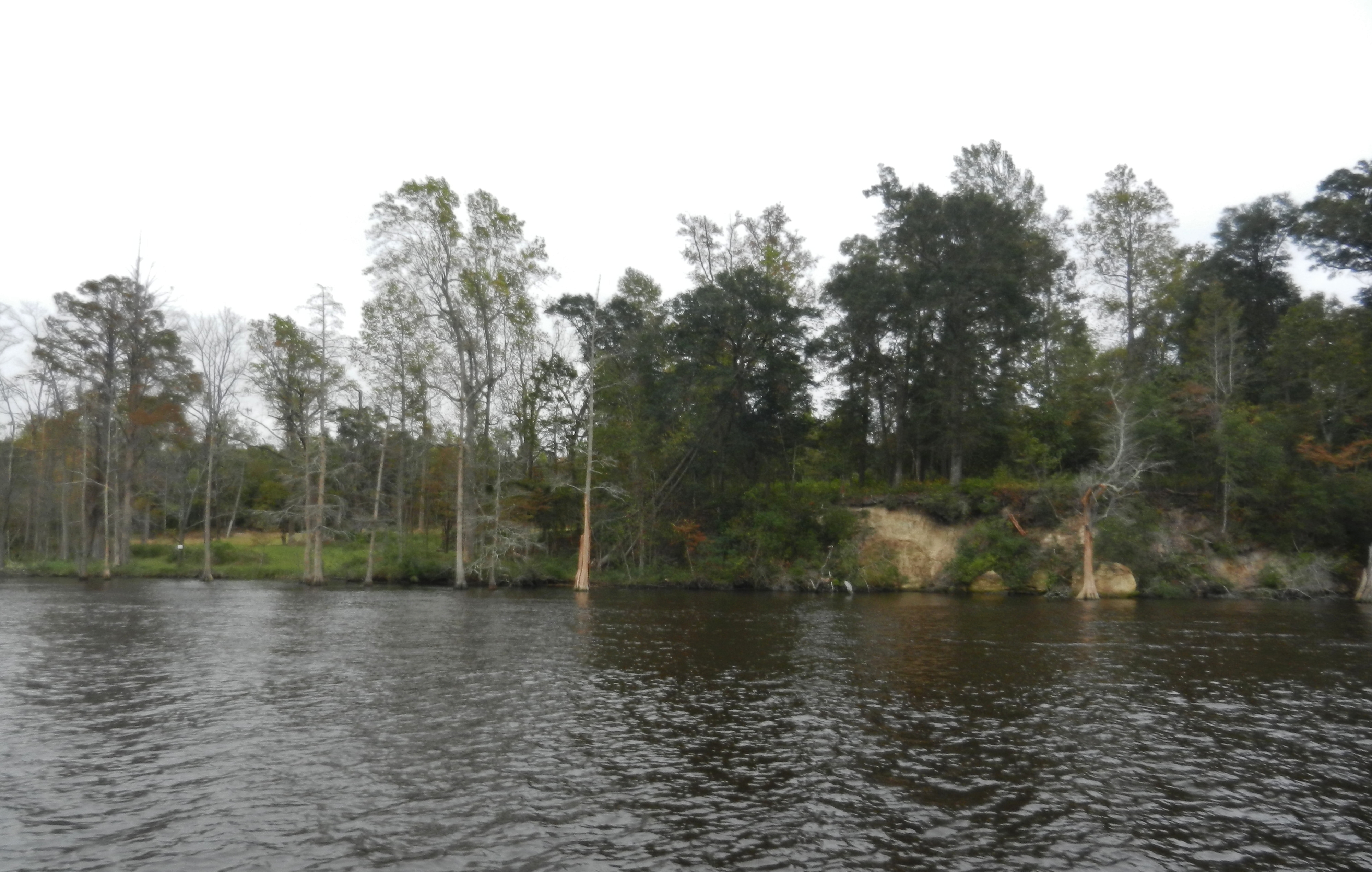
Bluff Edge

ACL Swing Bridge over the NE Cape Fear

US 117/NC 133 NE Cape Fear Bridge

ACL Swing Bridge over the NE Cape Fear, in sepia
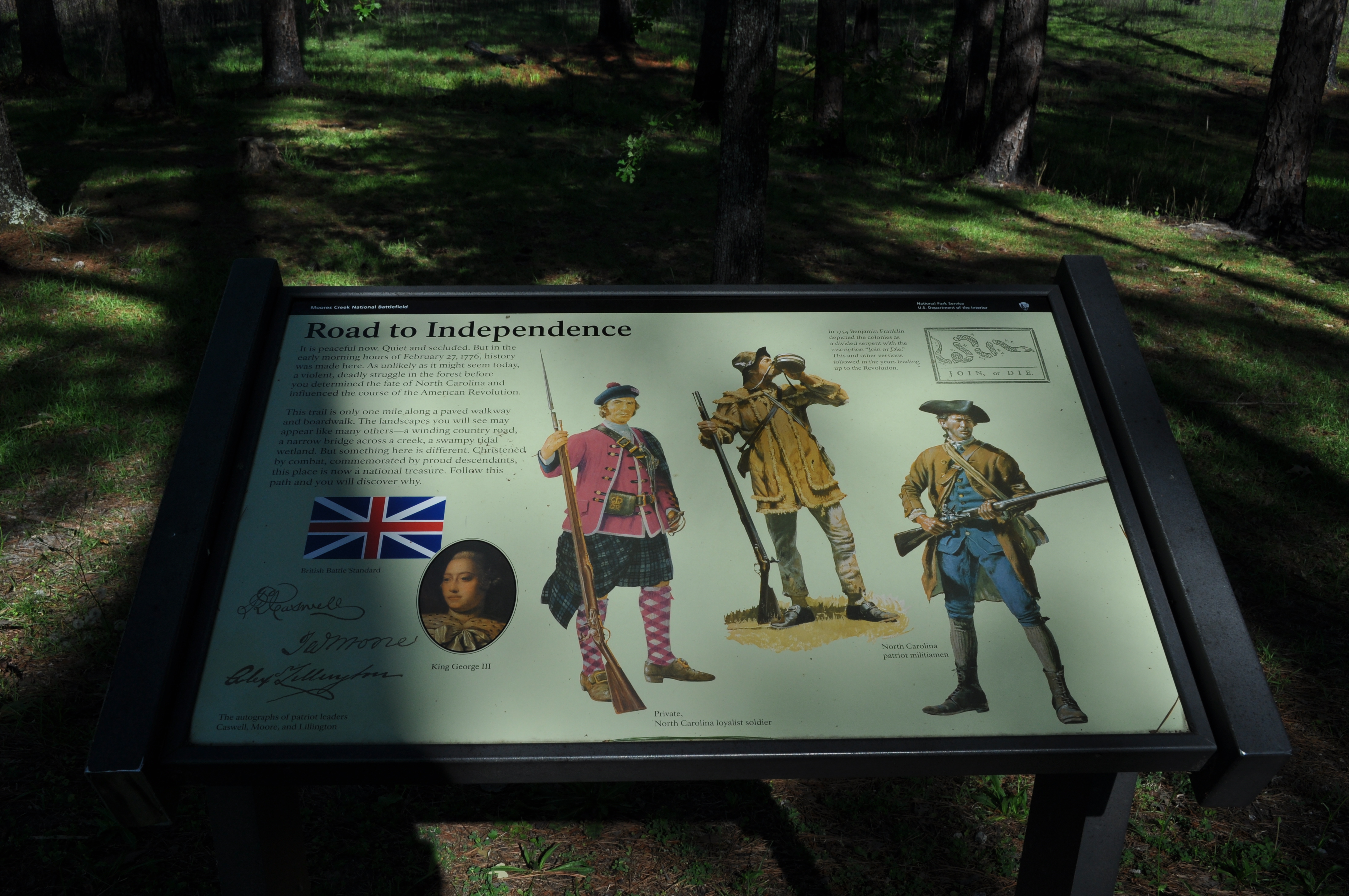
1295 Road to independence Img_19443
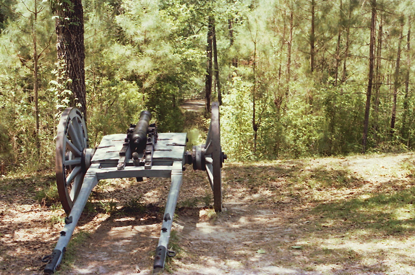
Moores Creek National Battlefield, Pender County (N.C.), 20 May 1978

Moores Creek National Battlefield, Pender County (N.C.), 20 May 1978

Speedway Sunset at 70 MPH

US 117/NC 133 NE Cape Fear Bridge

Moores Creek National Battlefield - the creek

Phil's first digital fire photo.

Moores Creek NB, NC

US 117/NC 133 NE Cape Fear Bridge, in sepia

Moores Creek National Battlefield - the pines

1358 Ghost of an Industry Img_19504

Moores Creek National Battlefield

US 117/NC 133 NE Cape Fear Bridge, in B&W
Topographic Map of NC-, Rocky Point, NC, USA
Find elevation by address:

Places near NC-, Rocky Point, NC, USA:
NC-, Rocky Point, NC, USA
25 Arvida Spur Rd
71 Gobbler Ct
184 Schoolview Dr
Winding Creek Road
Scott Road
31 Deepwoods Ridge
143 Toms Creek Rd
127 Toms Creek Road
Rocky Point
1466 Clarks Landing Rd
20554 Nc-210
820 Pond Rd
710 Ridgecrest Ln
524 Winding Creek Rd
232 Hearthside Dr
21363 Nc-210
340 Nc-133
Rocky Point
100 Goose Neck Rd
Recent Searches:
- Elevation of Crystal Cir, Birmingham, AL, USA
- Elevation of N Railroad Ave, West Palm Beach, FL, USA
- Elevation of 55 Cassick Valley Rd, Wellfleet, MA, USA
- Elevation of Ironwood Dr, Minden, NV, USA
- Elevation of 高尾山口駅, Takaomachi, Hachioji, Tokyo -, Japan
- Elevation of 15 Victory Ave, Greenville, SC, USA
- Elevation of Kota Ternate Utara, Ternate City, North Maluku, Indonesia
- Elevation of Allon St, Oceanside, NY, USA
- Elevation of Carroll Creek Rd, Custer, SD, USA
- Elevation of Lust Road, Lust Rd, Florida, USA