Elevation of 31 Deepwoods Ridge, Rocky Point, NC, USA
Location: United States > North Carolina > Pender County > Rocky Point > Rocky Point >
Longitude: -77.929953
Latitude: 34.3892179
Elevation: 4m / 13feet
Barometric Pressure: 101KPa
Elevation Map:
Satellite Map:
Related Photos:
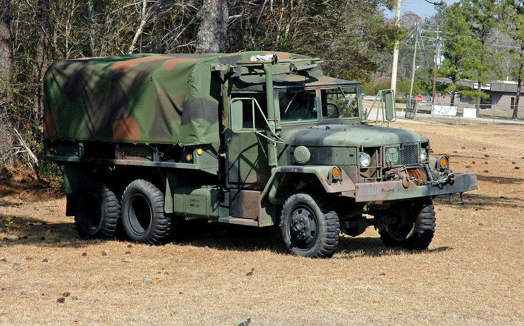
M35 2.5 Ton Medium Truck Right Side View
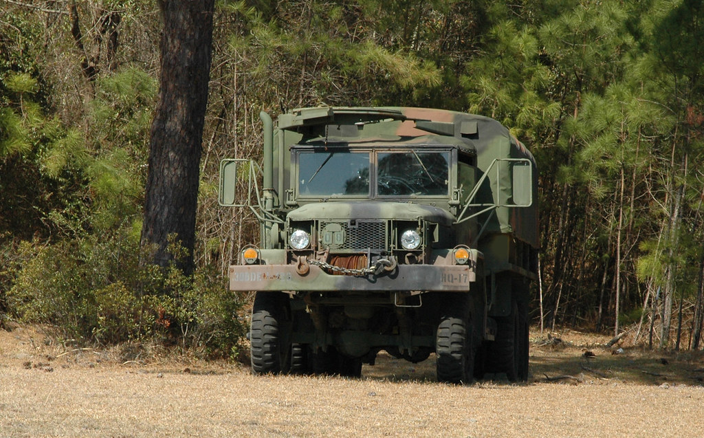
M35 2.5 Ton Medium Truck Front View
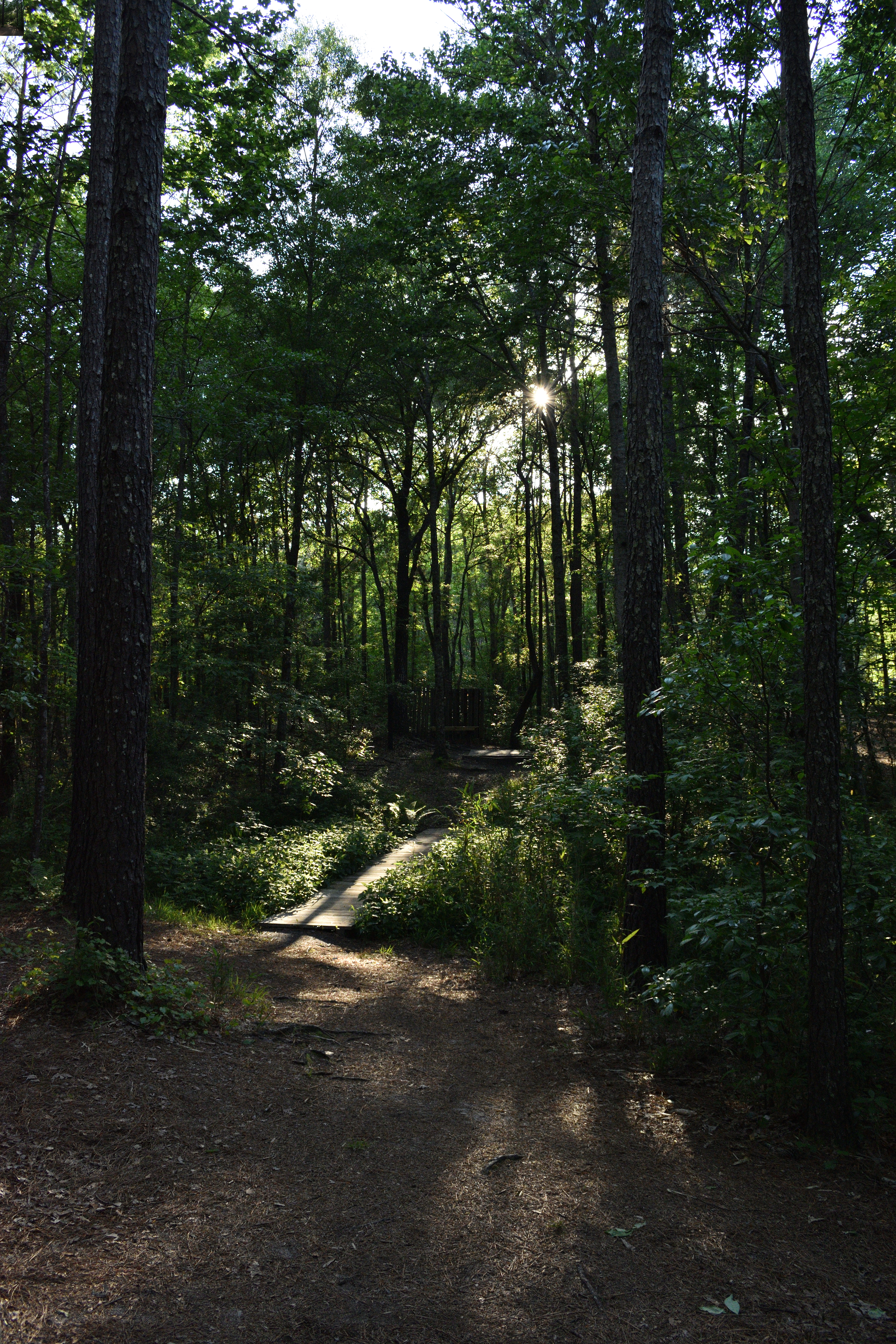
Hidden Rest Stop

Down to Earth

Swamp Reflections
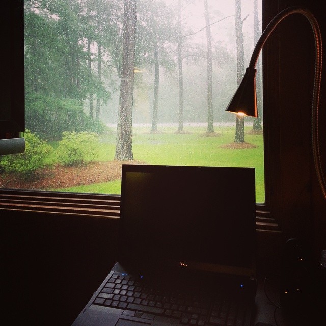
My view of Hurricane Arthur from my desk at work

#222 for project 365
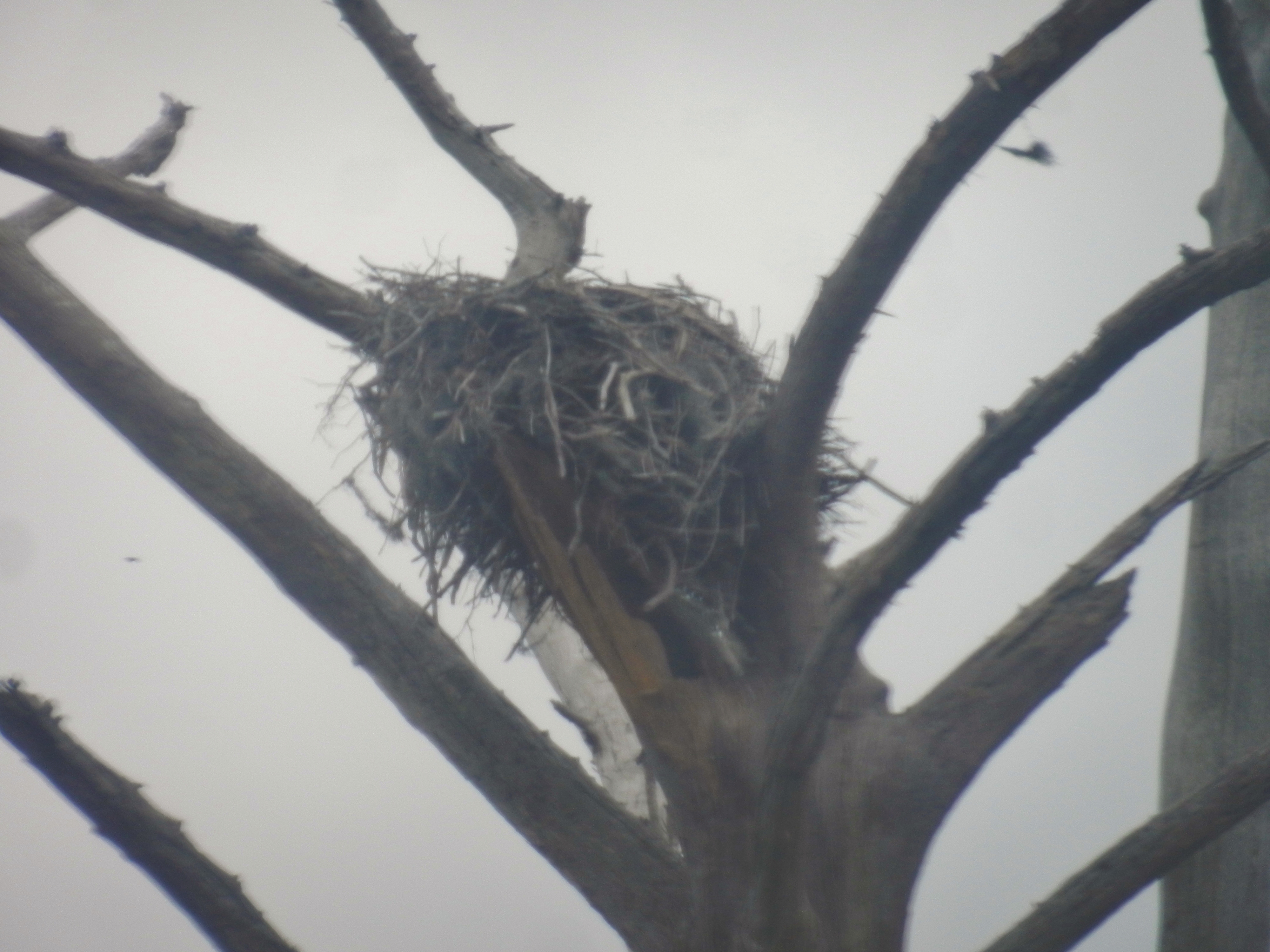
Eagle Nest

Reflections of a swamp

Corn Poppies in a Meadow -- Spring Botanical Landscape -- Impressionist
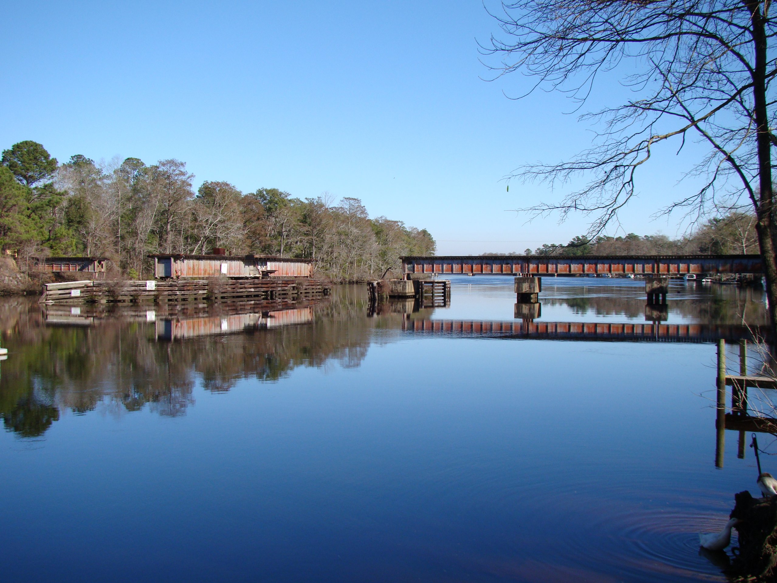
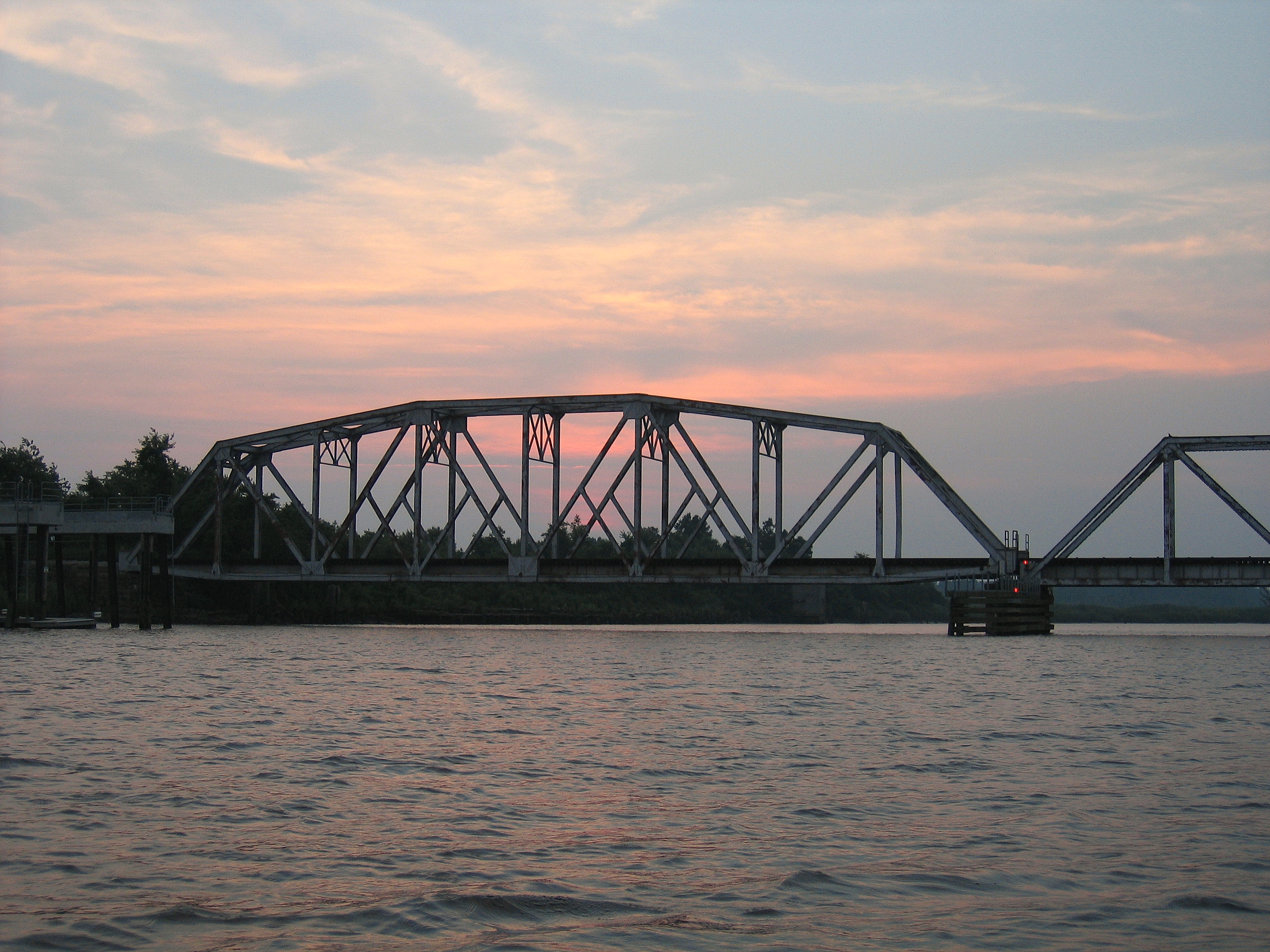
ACL Swing Bridge over the NE Cape Fear
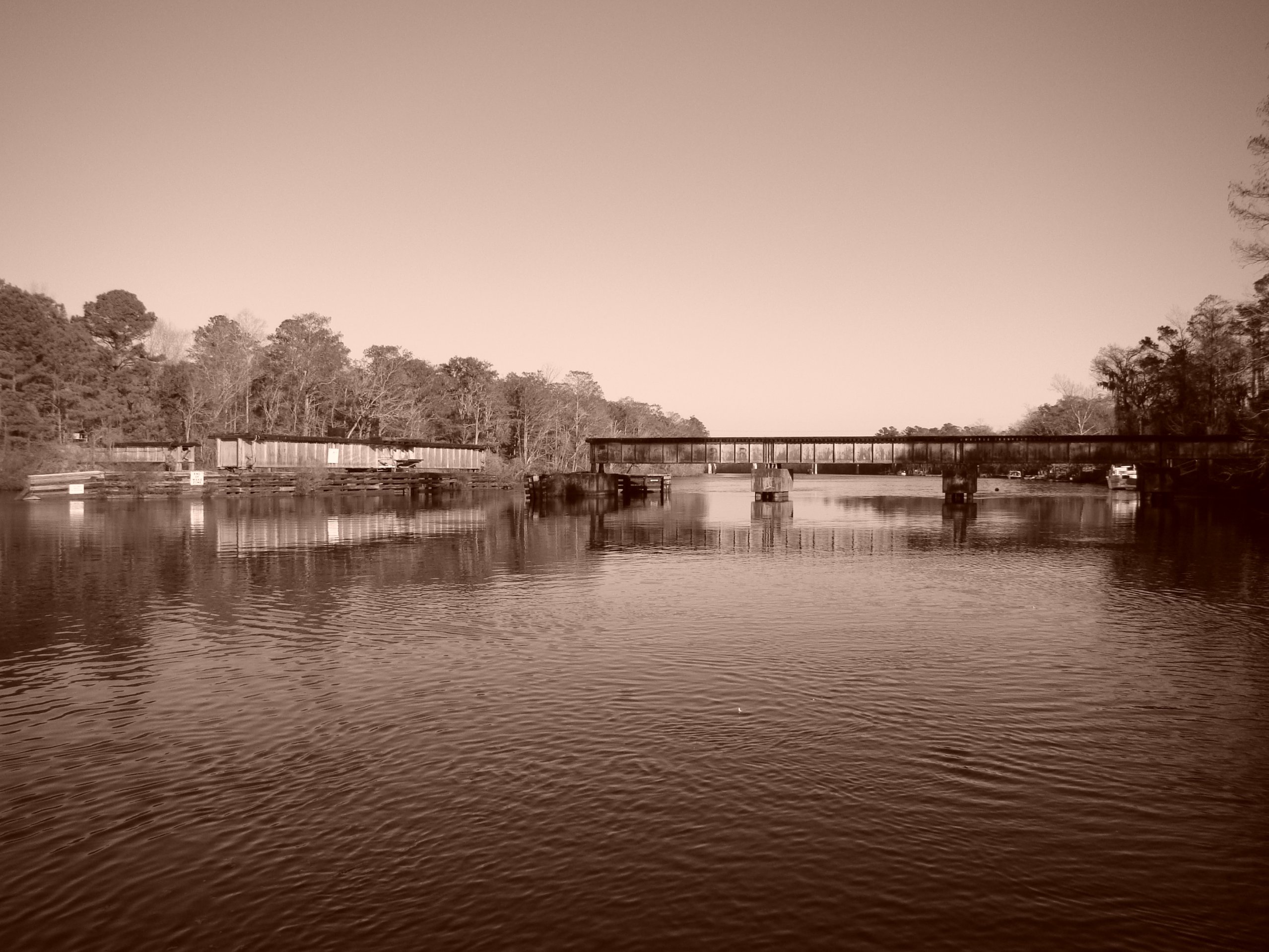
ACL Swing Bridge over the NE Cape Fear, in sepia
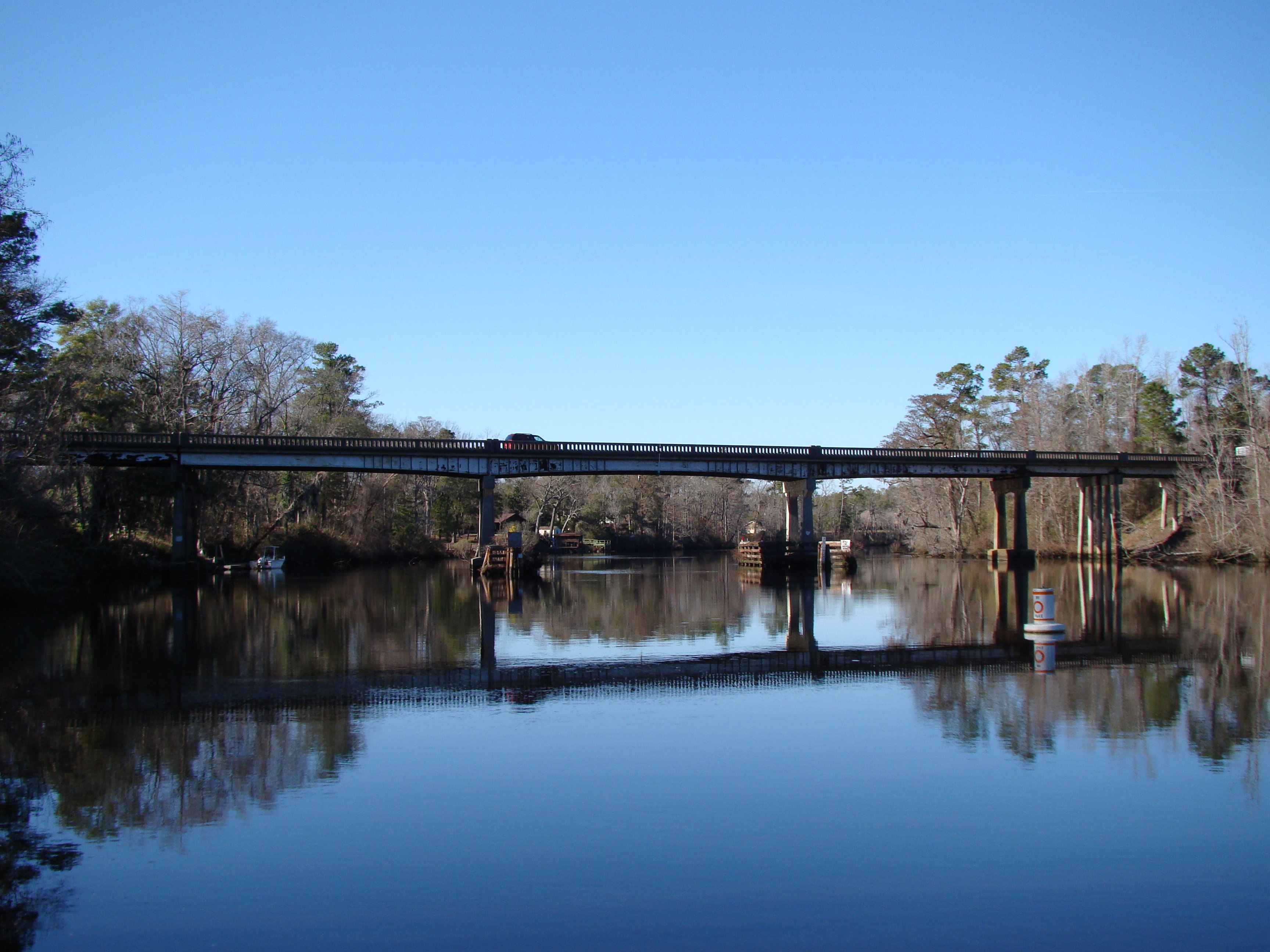
US 117/NC 133 NE Cape Fear Bridge
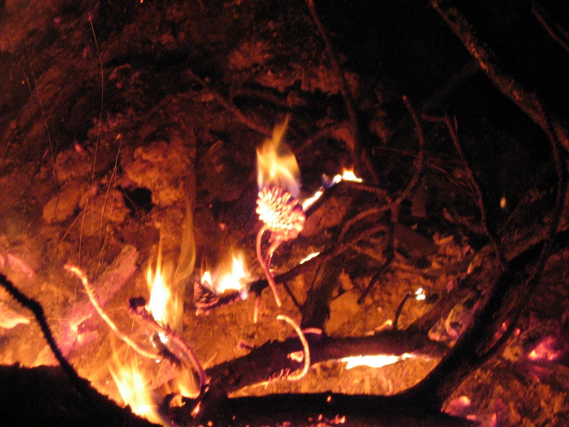
Phil's first digital fire photo.
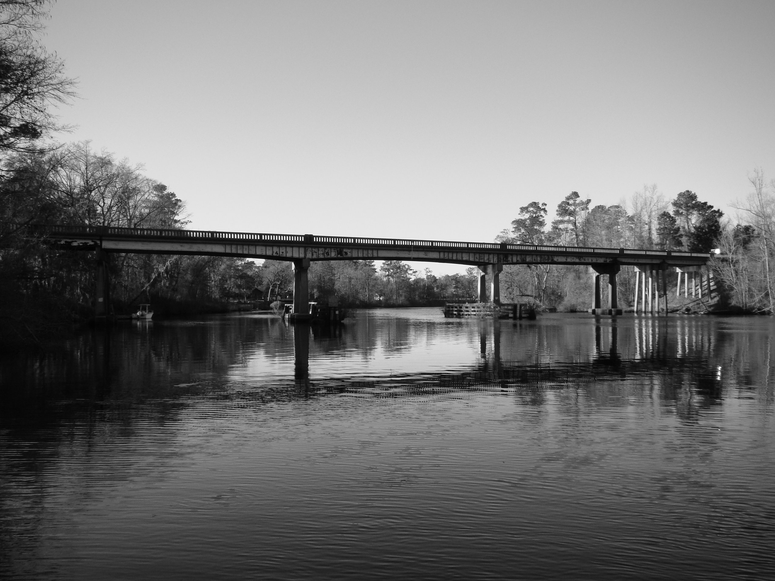
US 117/NC 133 NE Cape Fear Bridge, in B&W

Lara Digs
I-140

Trail Work
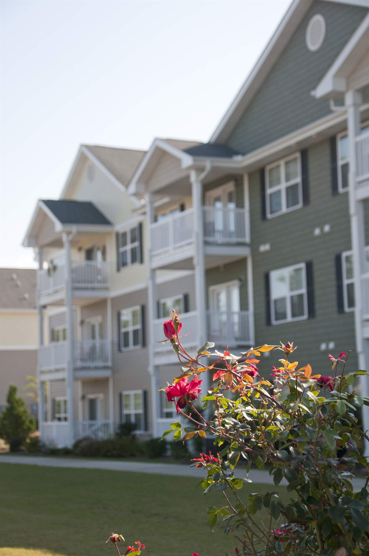
Hawthorne at Murrayville in Wilmington, NC - Exterior Landscaping
#256 for project 365

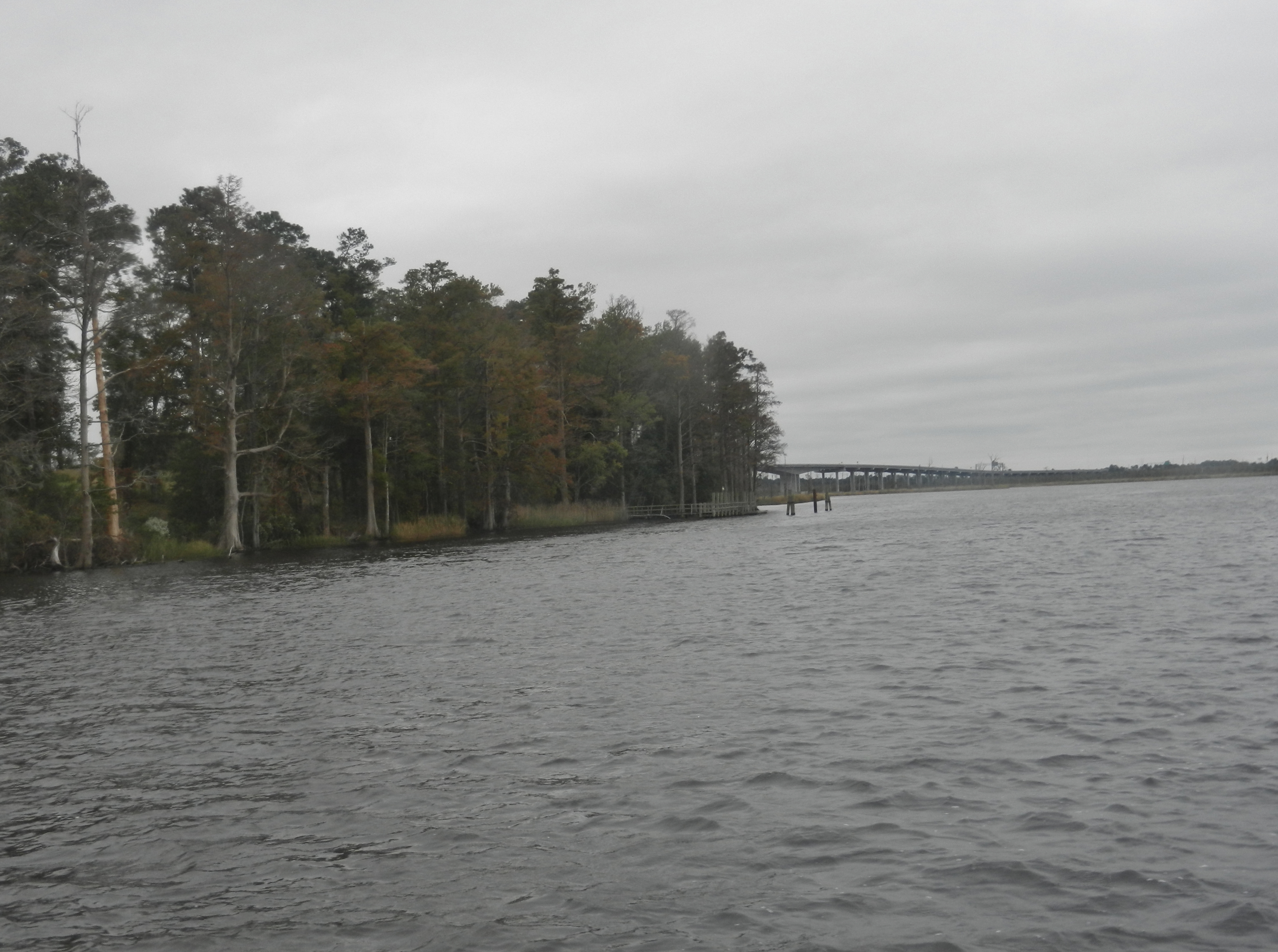
The Swamp
Sunset Boat Tour
Sunset 2 A
Touchdown! #Wilmington #North #Carolina

Wilmington, NC -- Night is near

U-Pick IR
Fixed Truss Section

Burnt Mill Creek Cleanup - March 2010

Cosmos along the MLK Pkwy
Topographic Map of 31 Deepwoods Ridge, Rocky Point, NC, USA
Find elevation by address:

Places near 31 Deepwoods Ridge, Rocky Point, NC, USA:
143 Toms Creek Rd
127 Toms Creek Road
71 Gobbler Ct
710 Ridgecrest Ln
232 Hearthside Dr
184 Schoolview Dr
Winding Creek Road
524 Winding Creek Rd
100 Goose Neck Rd
25 Arvida Spur Rd
340 Nc-133
820 Pond Rd
Rocky Point
17785 Nc-210
4832 Indian Corn Trail
Lynn Ave, Castle Hayne, NC, USA
Castle Hayne
206 Mcclure Cir
NC-, Rocky Point, NC, USA
111 Brookgreen Rd #34r
Recent Searches:
- Elevation of Lalagbene, Bayelsa, Nigeria
- Elevation of Ogbosuware Health Centre, 2WWJ+4PJ, Lalagbene, Bayelsa, Nigeria
- Elevation of Duckhorn Ct, Las Vegas, NV, USA
- Elevation of Garretts Run Rd, Ford City, PA, USA
- Elevation of N WI-55, Freedom, WI, USA
- Elevation map of Hadiya, Ethiopia
- Elevation of Hosaina, Ethiopia
- Elevation of Verde Terrace, North Port, FL, USA
- Elevation of US-, Leesburg, FL, USA
- Elevation of Summit Dr, Kerrville, TX, USA