Elevation of SC-28, McCormick, SC, USA
Location: United States > South Carolina > Mccormick County > Mccormick >
Longitude: -82.379087
Latitude: 33.9517525
Elevation: 141m / 463feet
Barometric Pressure: 100KPa
Elevation Map:
Satellite Map:
Related Photos:

Gully 360

940 Dorn Mill Historic Img_3043
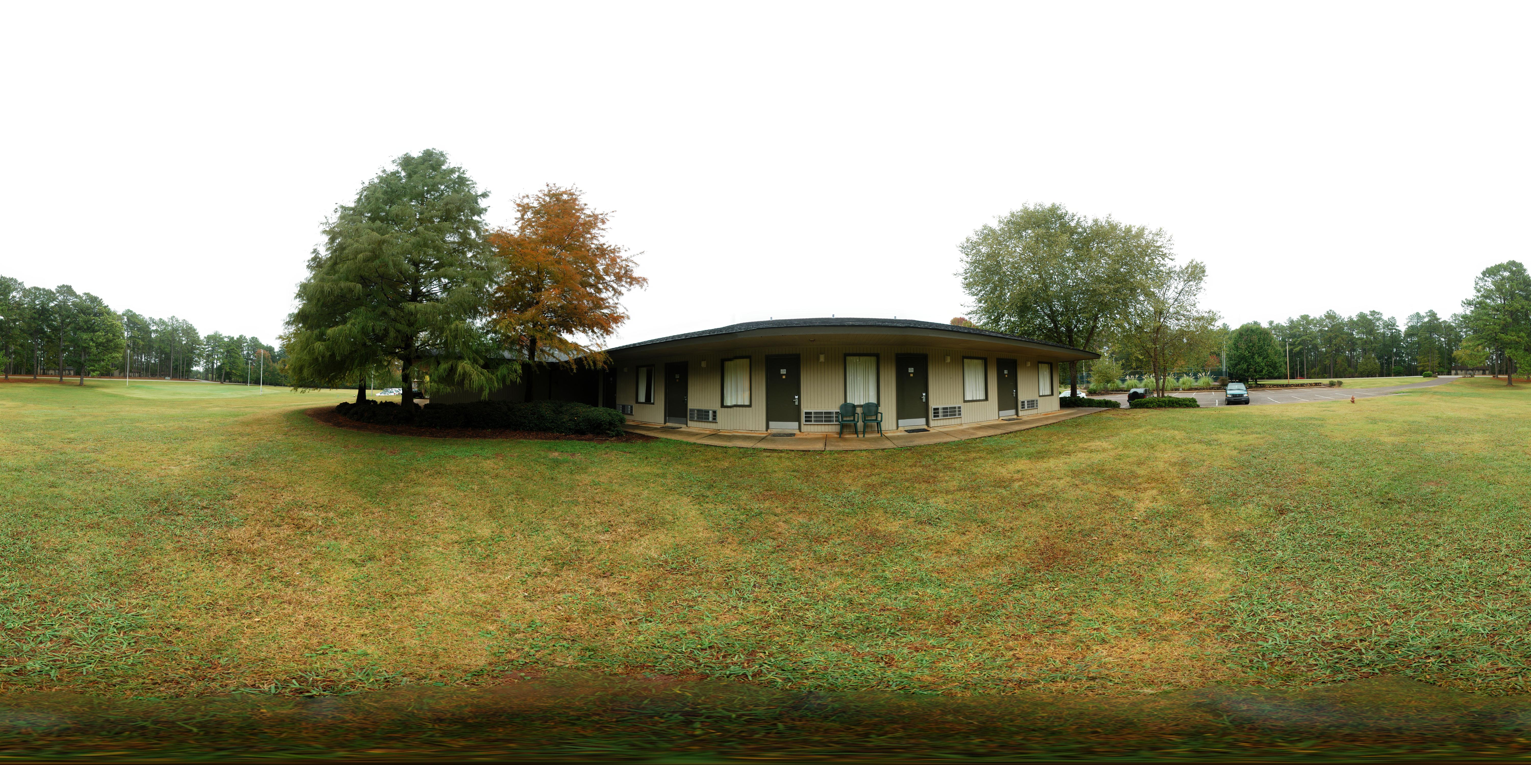
Hickory Knob State Park - Outside Room 237 (360° x 180° Panorama)
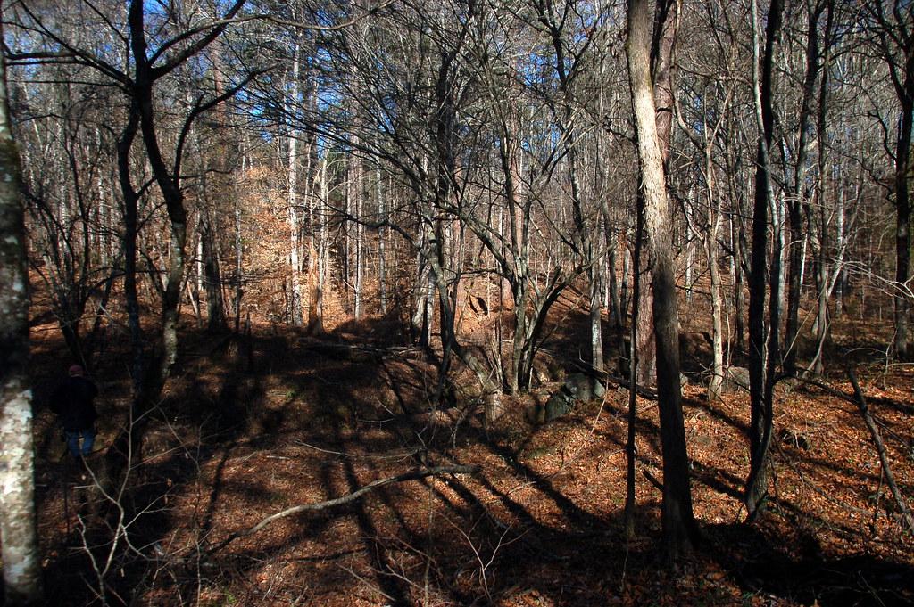
Sumter National Forest
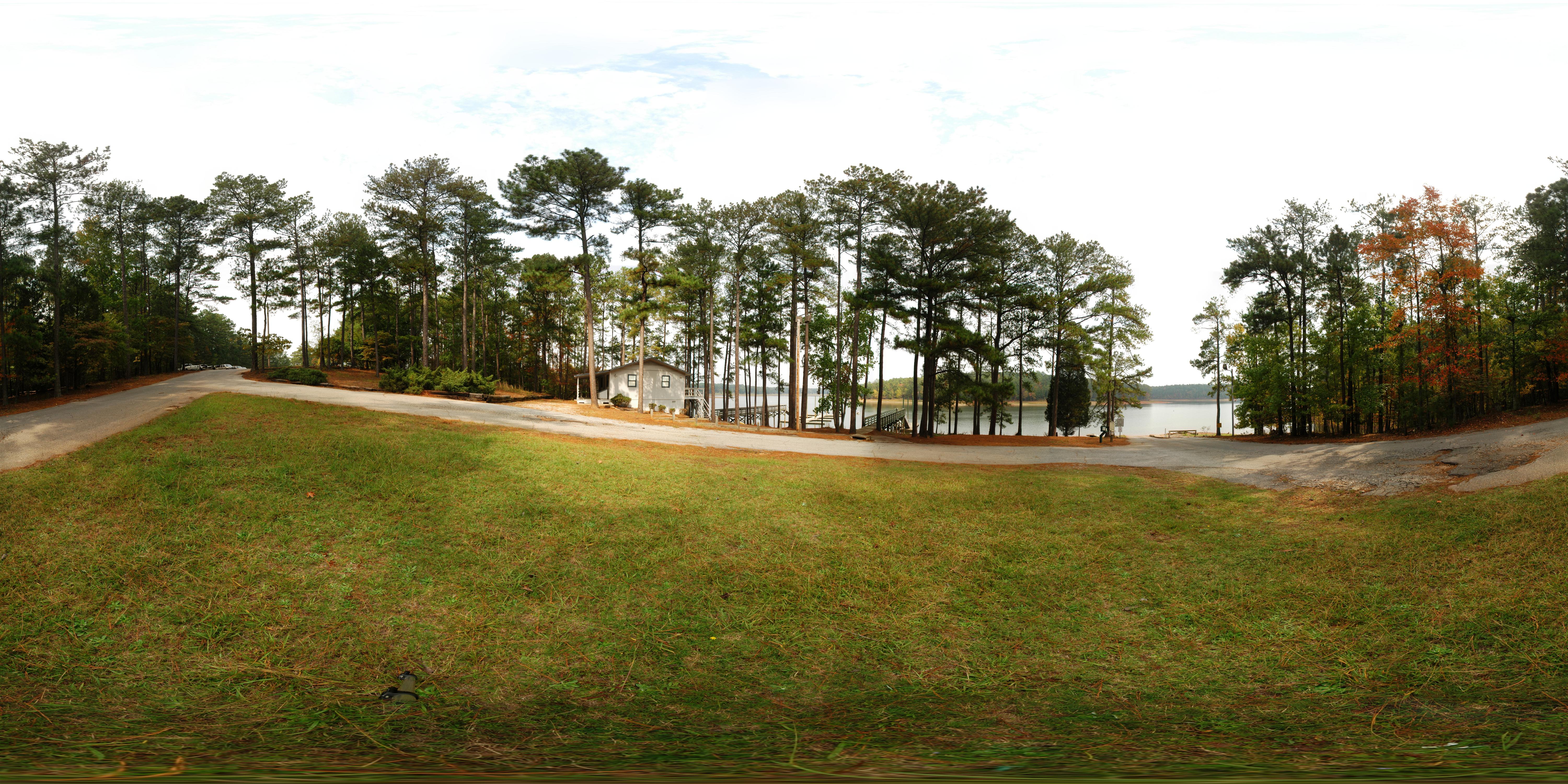
Hickory Knob State Park - Boat Ramp
Chimney Throw
Chimney Throw
September Roadtrip: Old Charleston Road
Chimney Throw
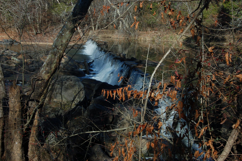
Calhoun Mil Dam
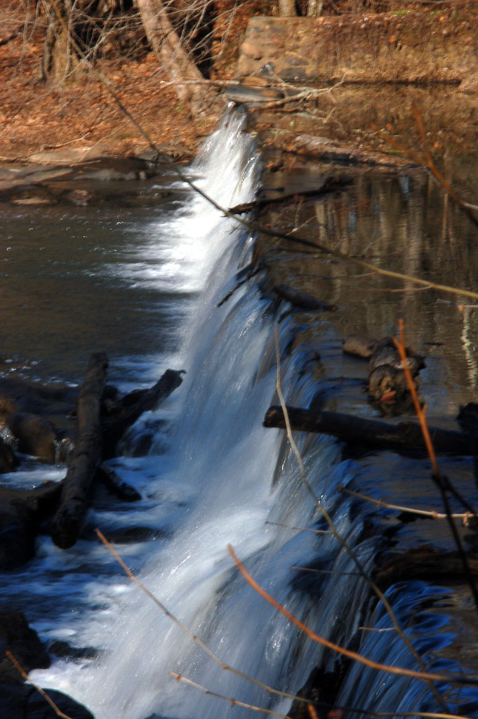
Calhoun Mil Dam
Bordeaux Area
Lower Long Cane ARP Church-030
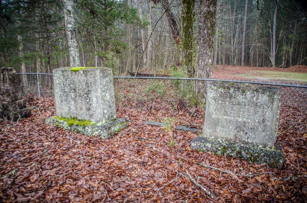
Lower Long Cane ARP Church-002
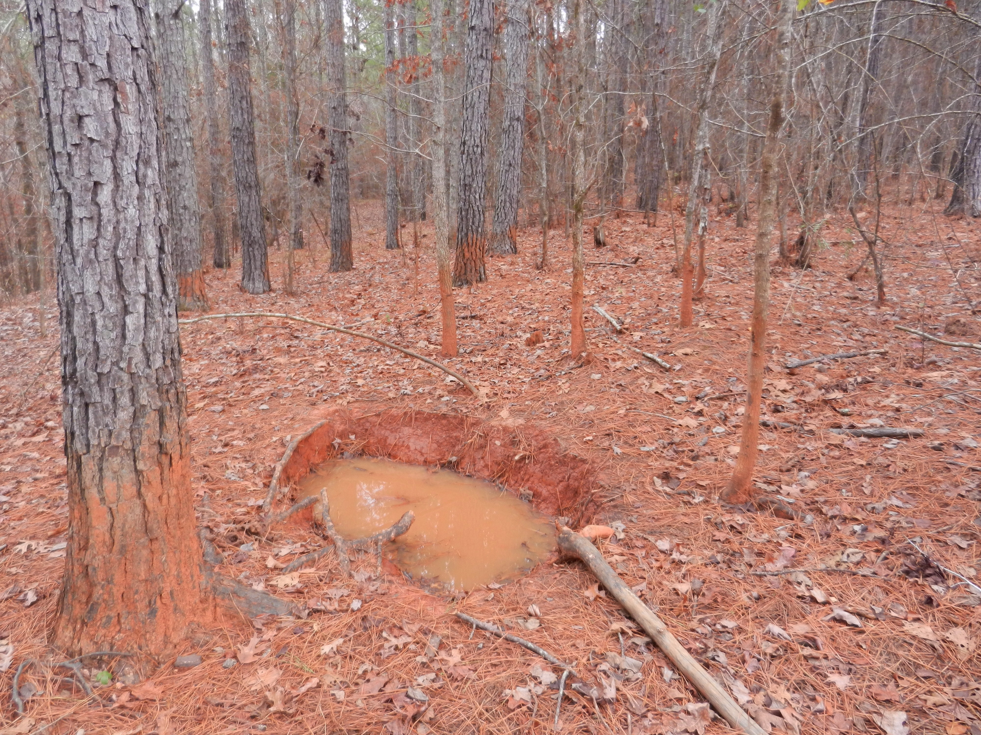
Pig Wallow
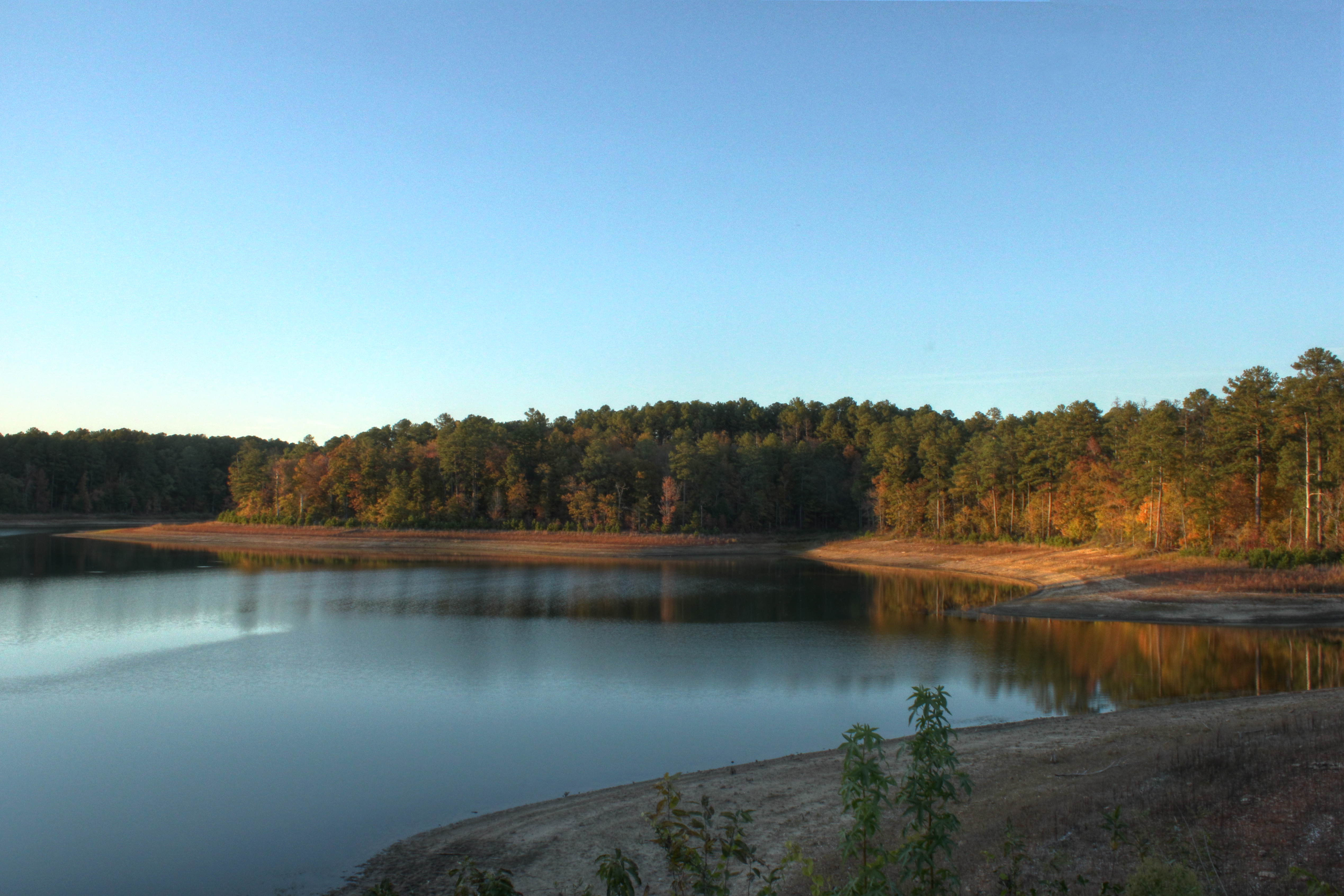
Lake Thurmond
My life slideshow
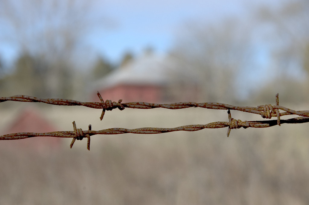
Barbed Wire at Calhoun Mill
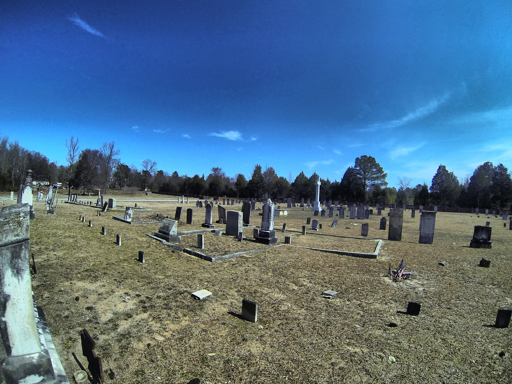
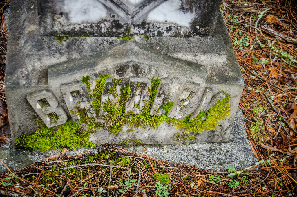
Cedar Springs Cemetery GoPro
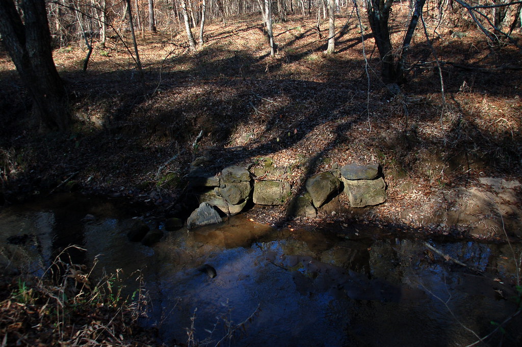
Bridge Remnants
Calhoun Mil Dam
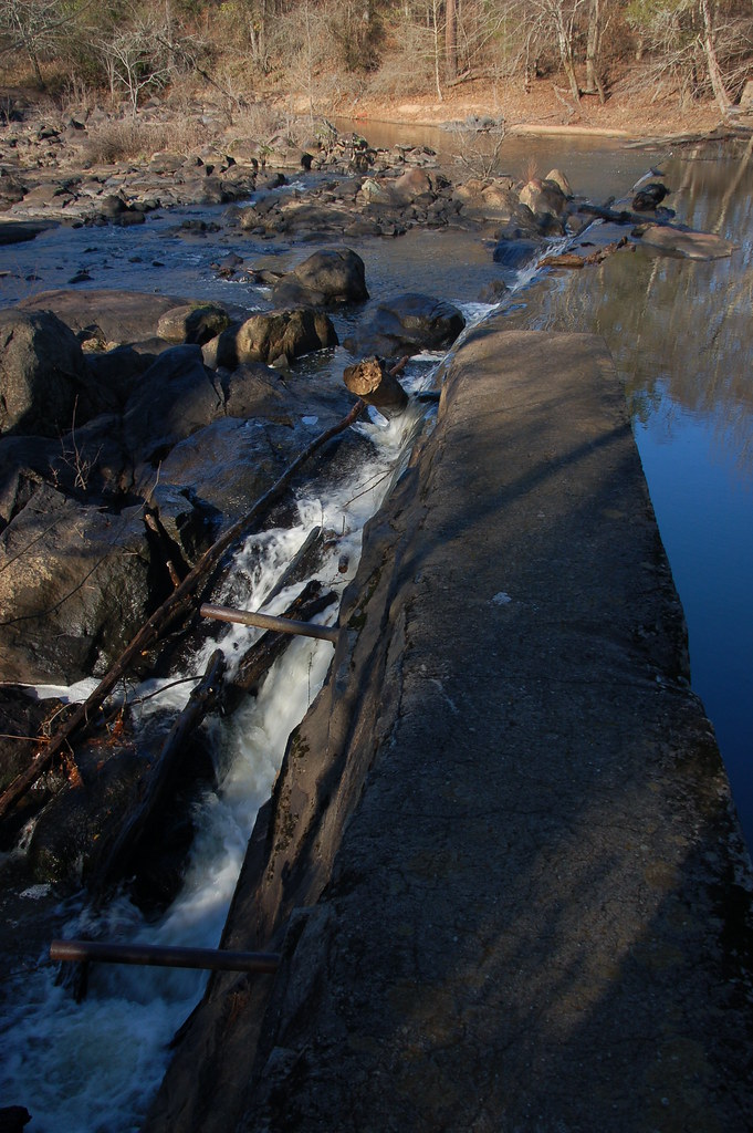
Calhoun Mil Dam

Old US Highway 378 Bridge
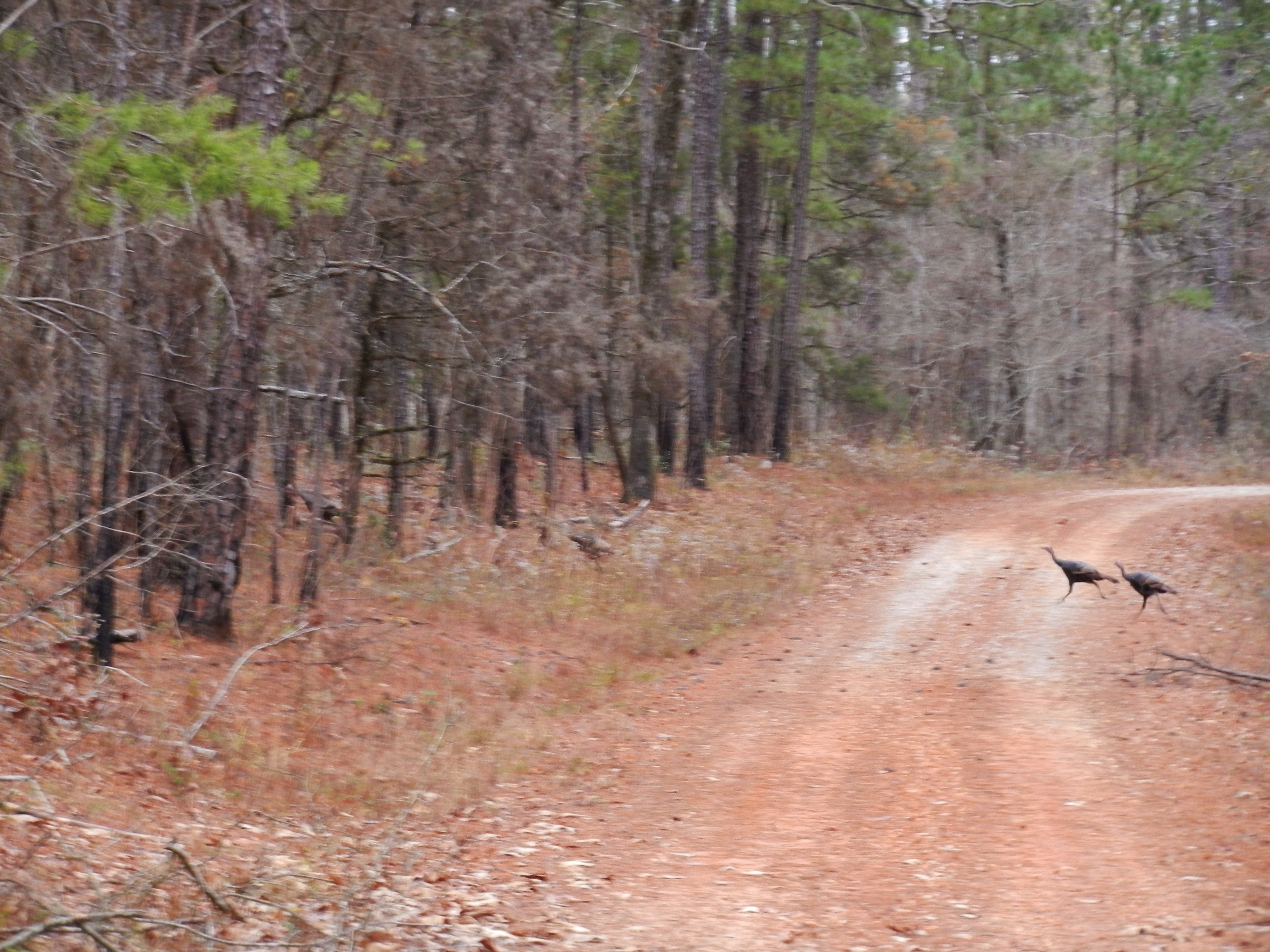
Wild Turkey
Topographic Map of SC-28, McCormick, SC, USA
Find elevation by address:

Places near SC-28, McCormick, SC, USA:
Richey Rd, McCormick, SC, USA
Savannah Lakes Village Monticello Golf Club
120-126
131 Evergreen Ln
212 Links Pl
297 Fairway Dr
Kennedy Road & South Carolina 10
172 Tara Dr
1787 Chestnut Ridge Rd
Troy
Neel St, Troy, SC, USA
Morrah Bridge Rd, McCormick, SC, USA
142 Royal Pine Ln
Mccormick
Elijah Clark State Park
1201 Puckett Town Rd
State Rd S-33-30, McCormick, SC, USA
Candy Branch Shooting Range
Mccormick County
Elberton Hwy, Lincolnton, GA, USA
Recent Searches:
- Elevation of Corso Fratelli Cairoli, 35, Macerata MC, Italy
- Elevation of Tallevast Rd, Sarasota, FL, USA
- Elevation of 4th St E, Sonoma, CA, USA
- Elevation of Black Hollow Rd, Pennsdale, PA, USA
- Elevation of Oakland Ave, Williamsport, PA, USA
- Elevation of Pedrógão Grande, Portugal
- Elevation of Klee Dr, Martinsburg, WV, USA
- Elevation of Via Roma, Pieranica CR, Italy
- Elevation of Tavkvetili Mountain, Georgia
- Elevation of Hartfords Bluff Cir, Mt Pleasant, SC, USA