Elevation of Chestnut Ridge Rd, McCormick, SC, USA
Location: United States > South Carolina > Mccormick County > Mccormick >
Longitude: -82.295588
Latitude: 33.9404865
Elevation: 158m / 518feet
Barometric Pressure: 99KPa
Elevation Map:
Satellite Map:
Related Photos:

940 Dorn Mill Historic Img_3043

Gully 360
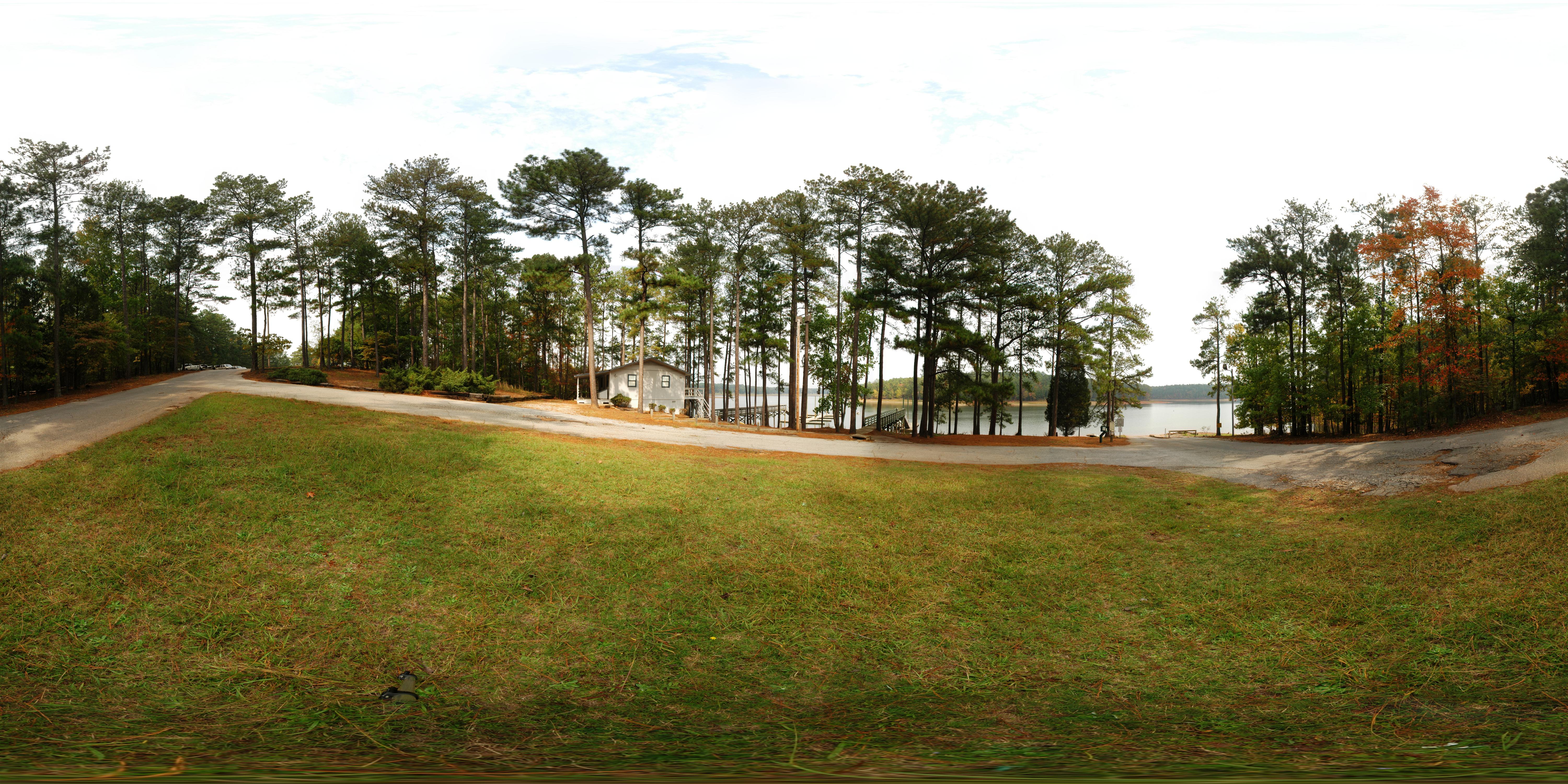
Hickory Knob State Park - Boat Ramp
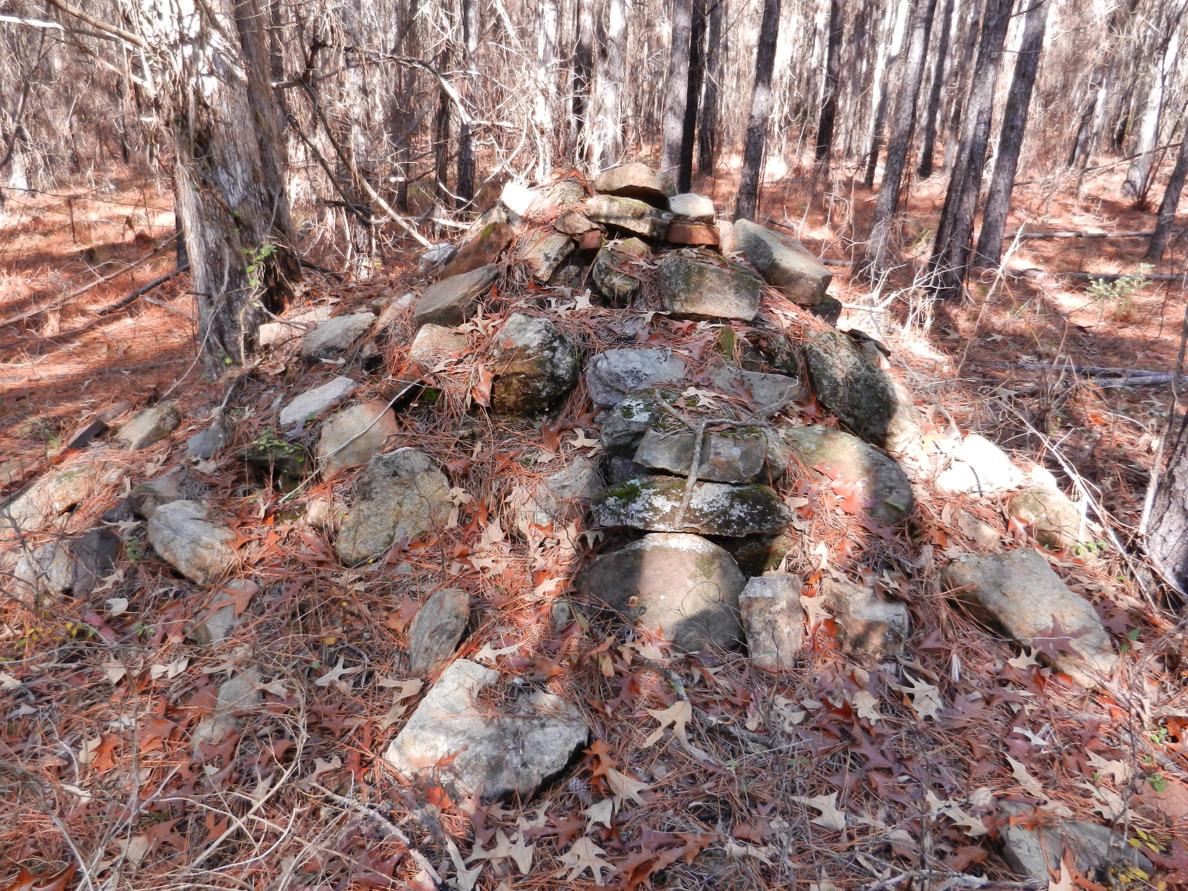
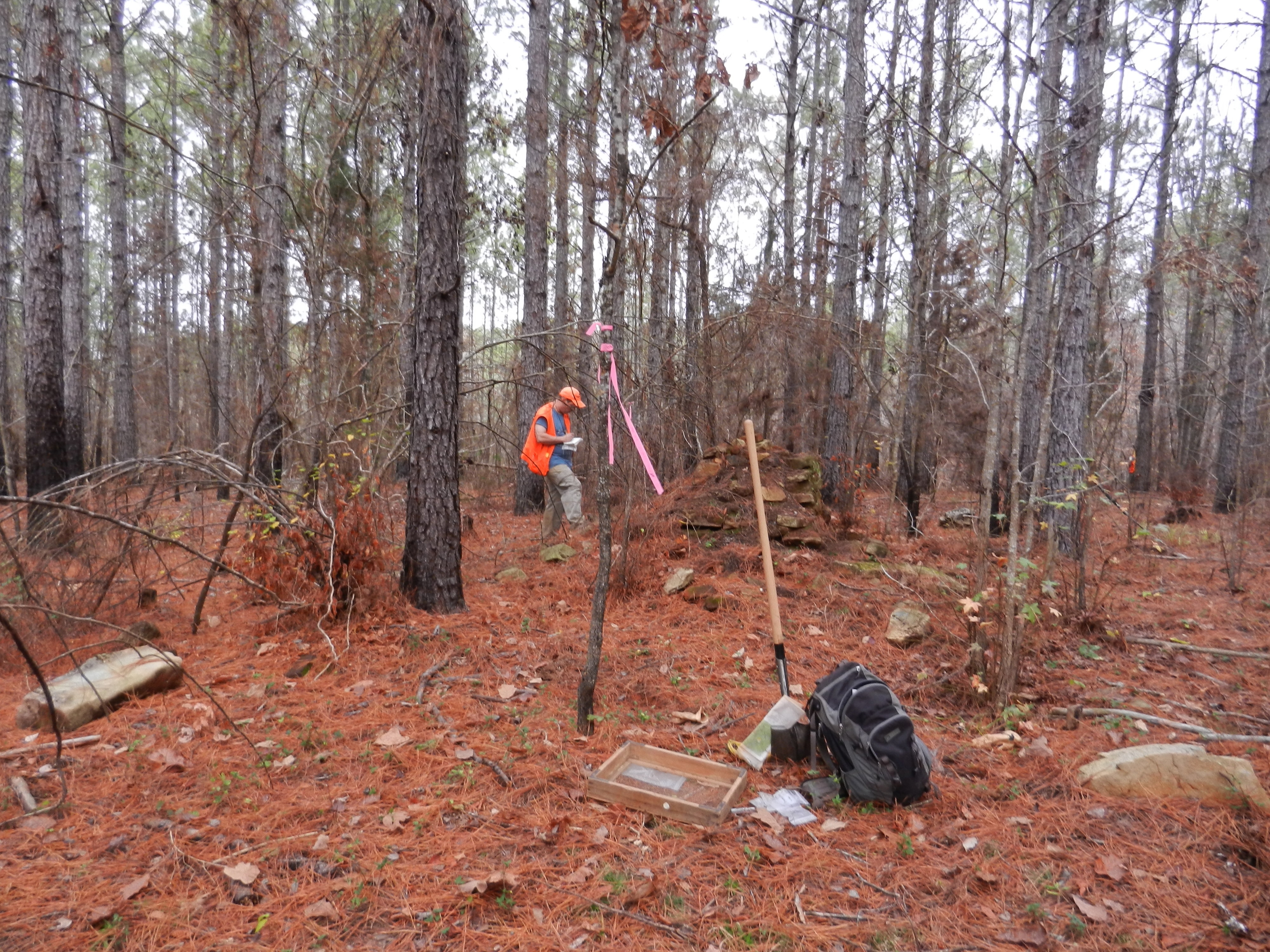
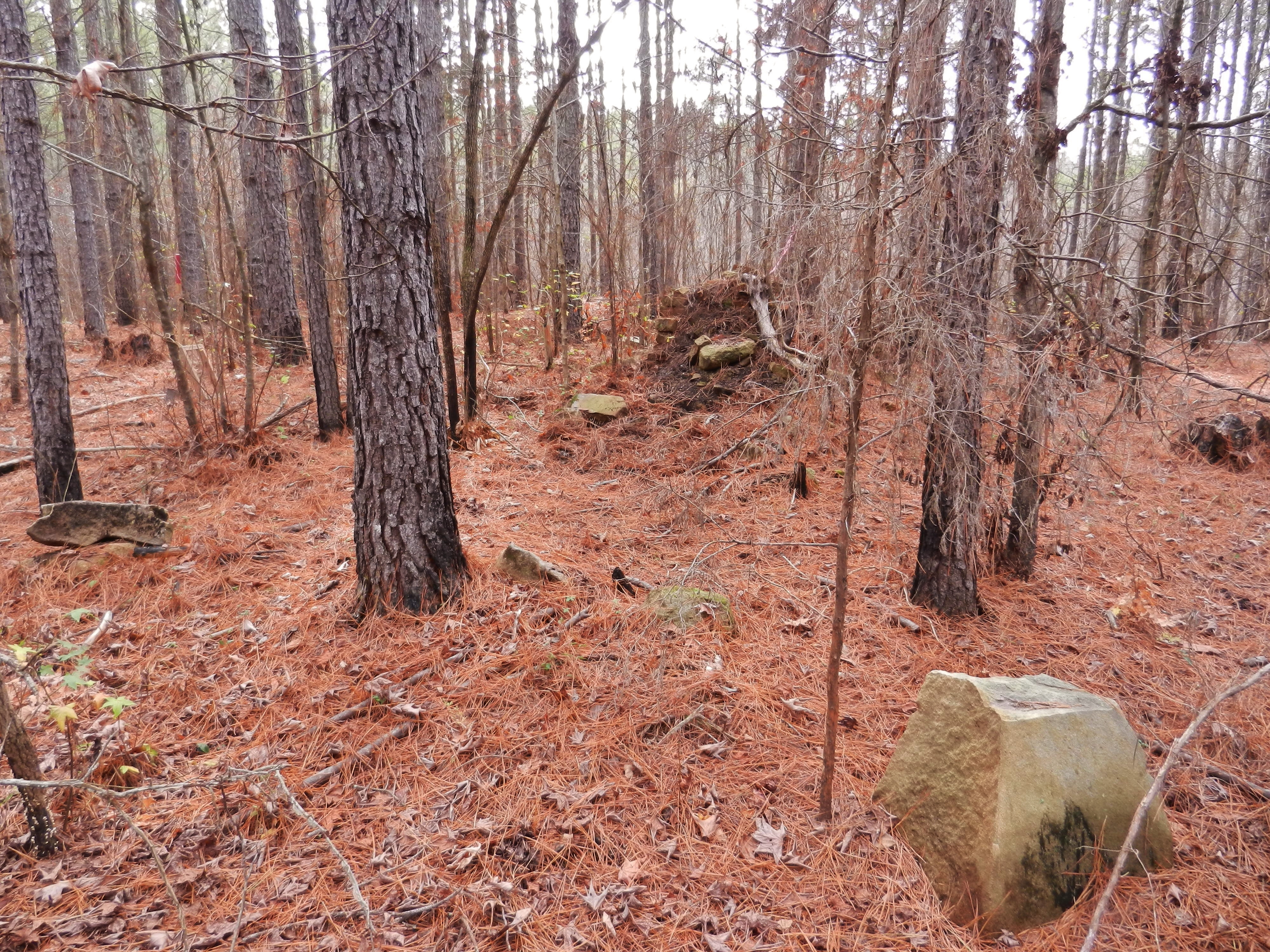
Chimney Throw
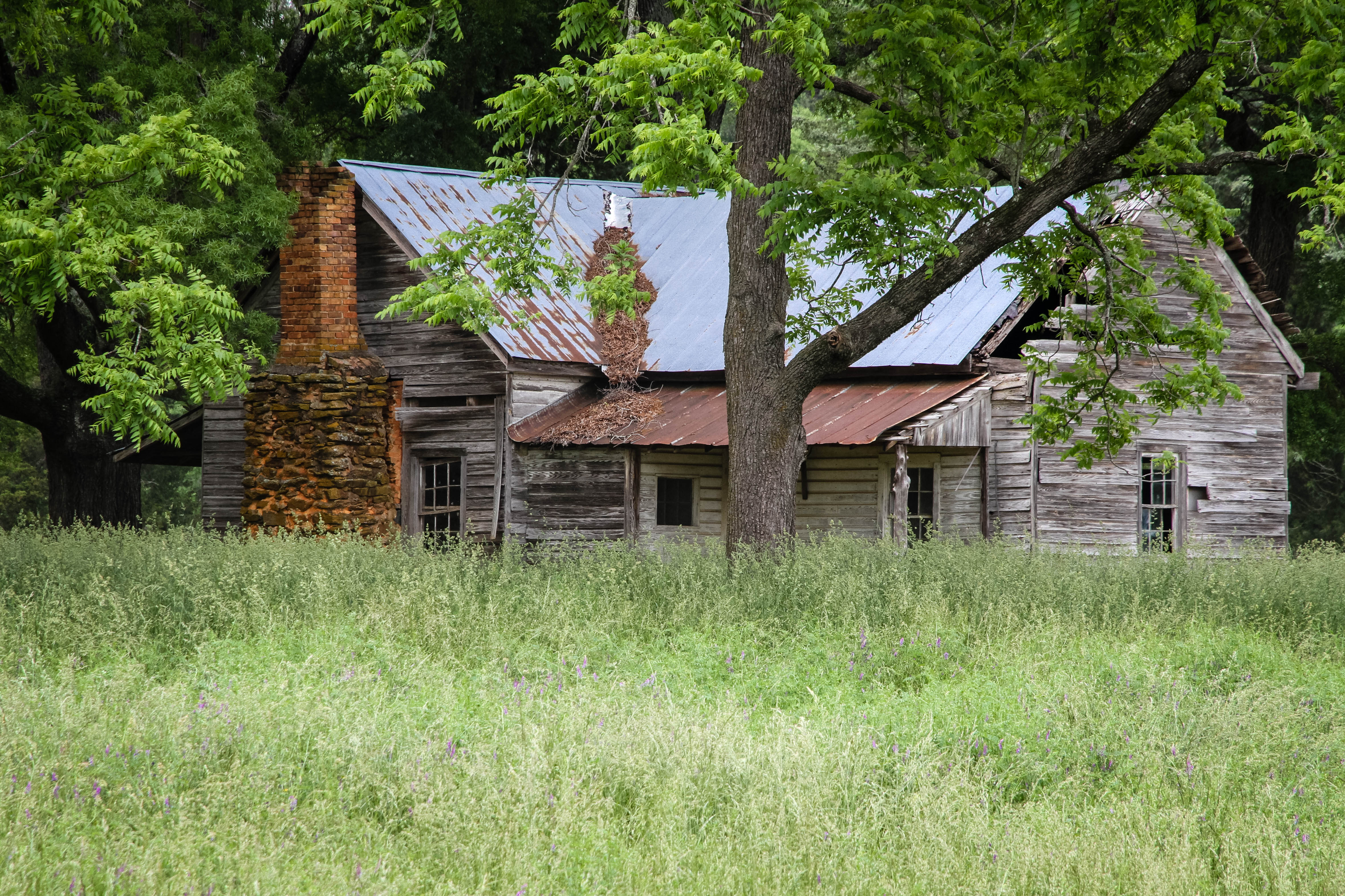
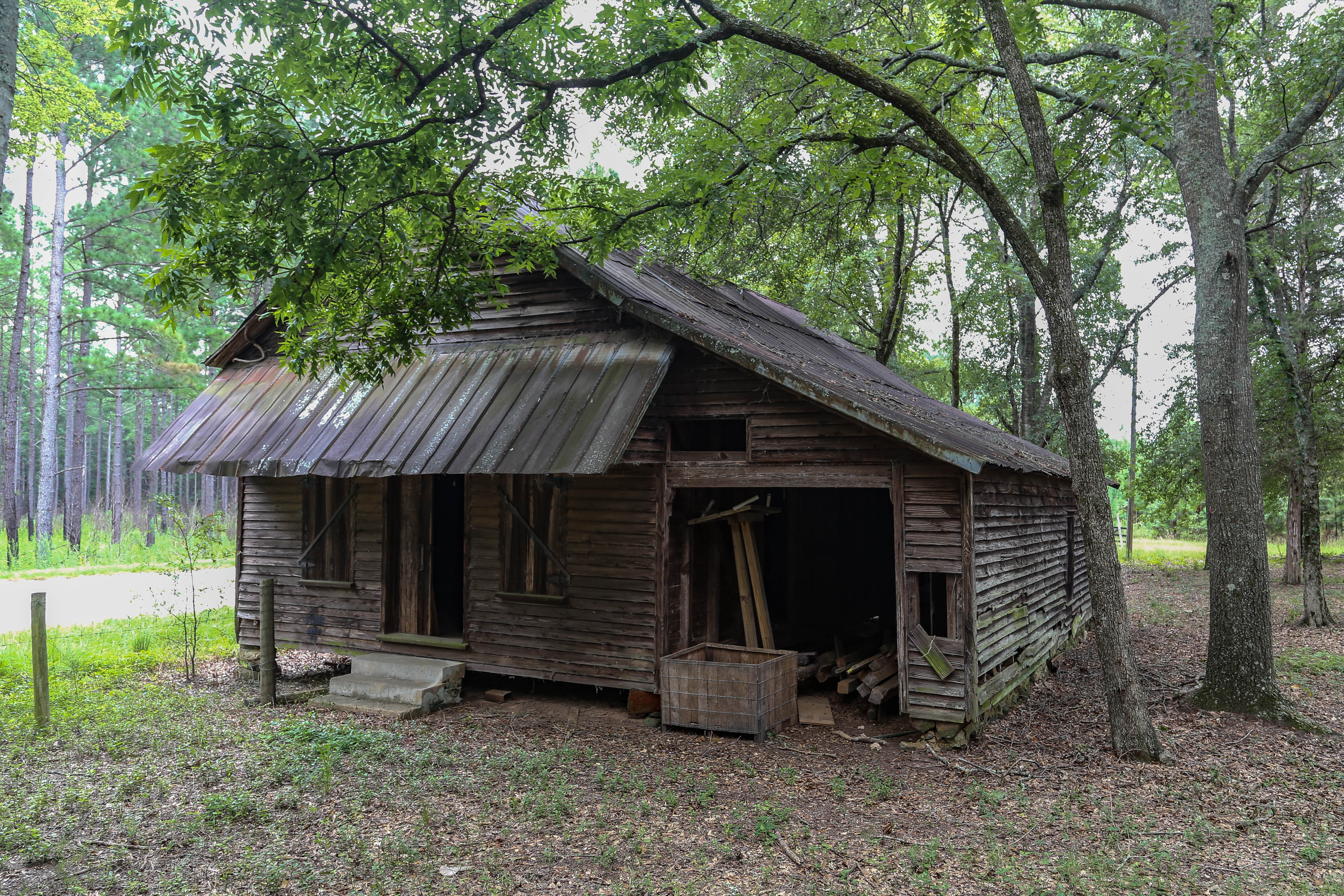
Old farm home - Abbeville S.C.
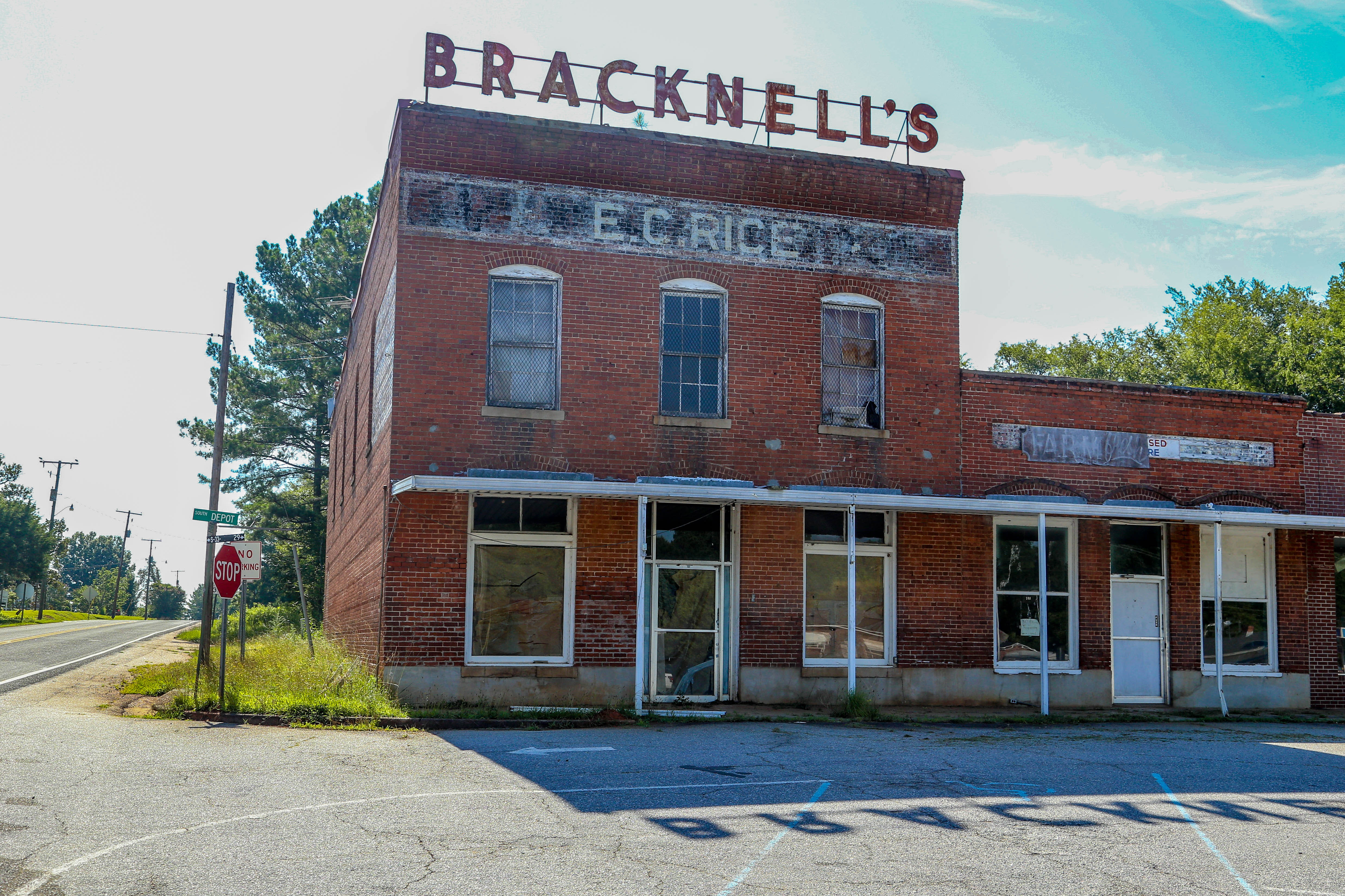
Another closed business - Plum Branch, S.C.
Old barn - Bradley, S.C.
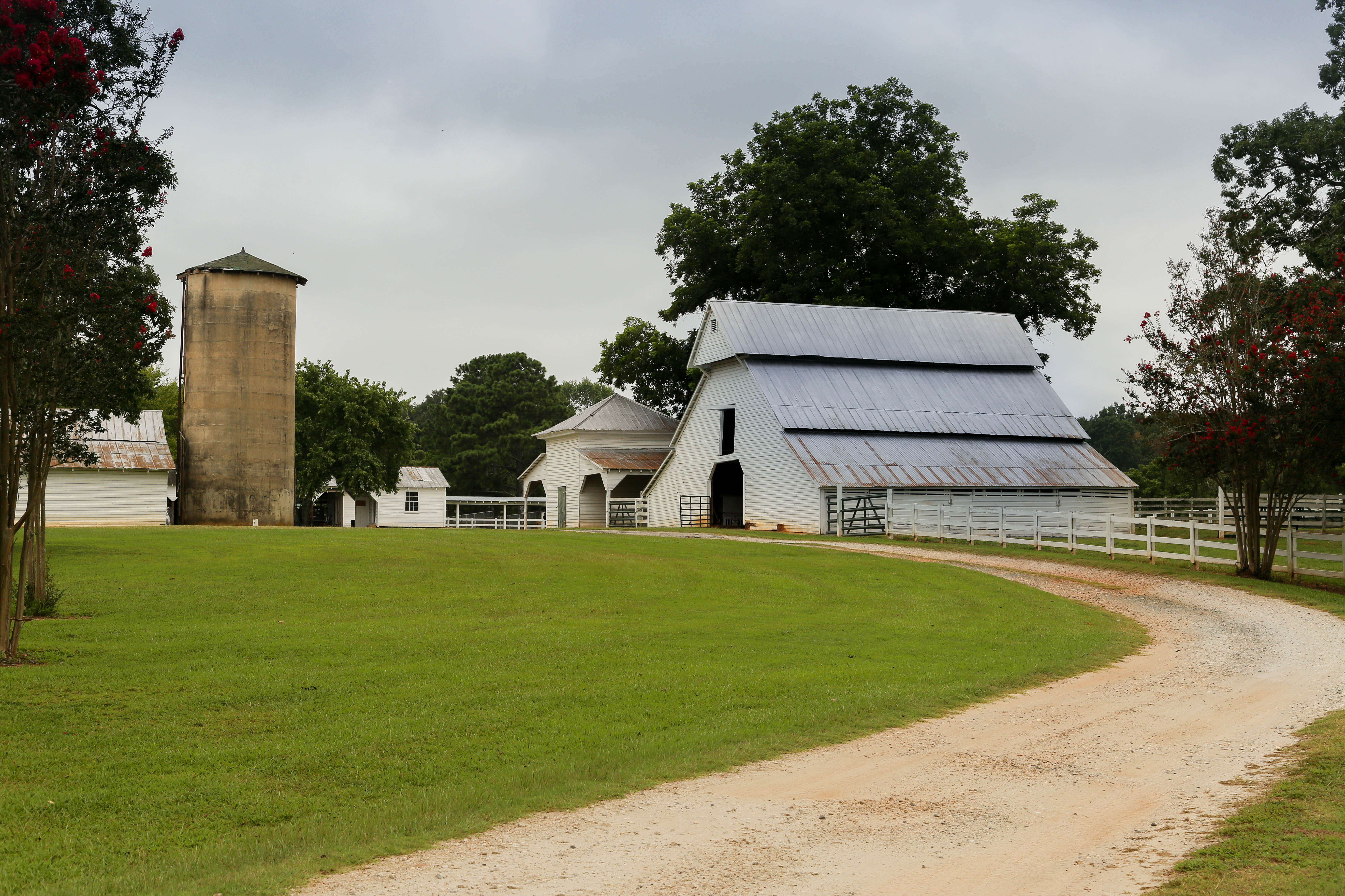
Barns - Eden Hall - McCormick, S.C.
Bordeaux Area
.
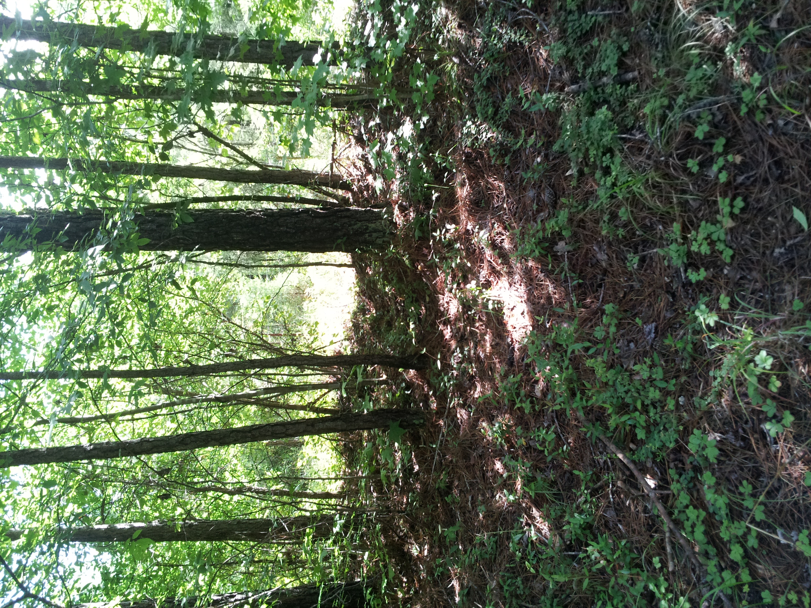
Sumter National Forest
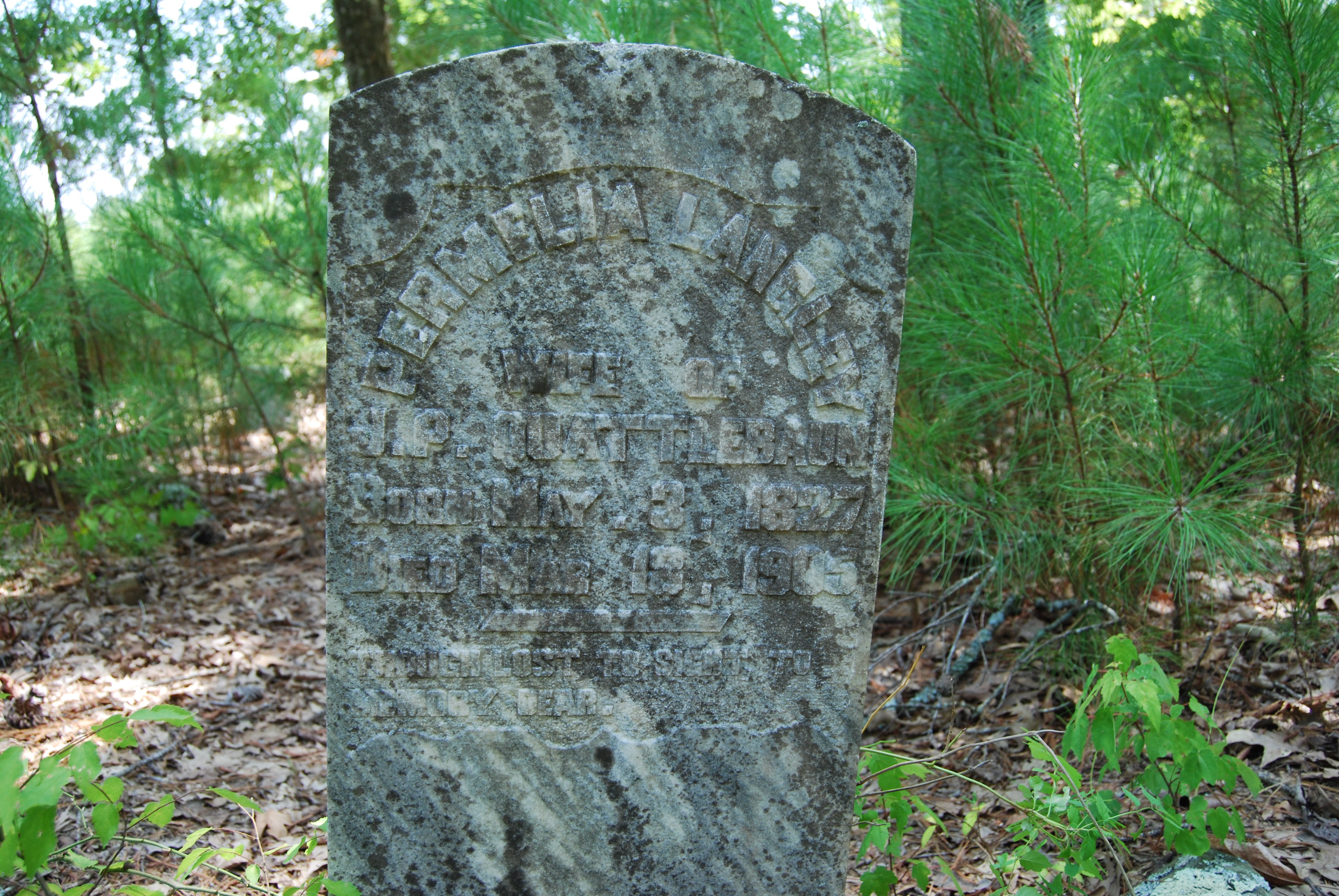
Cedar Springs Cemetery GoPro
My life slideshow
March 27, 2013

Old US Highway 378 Bridge
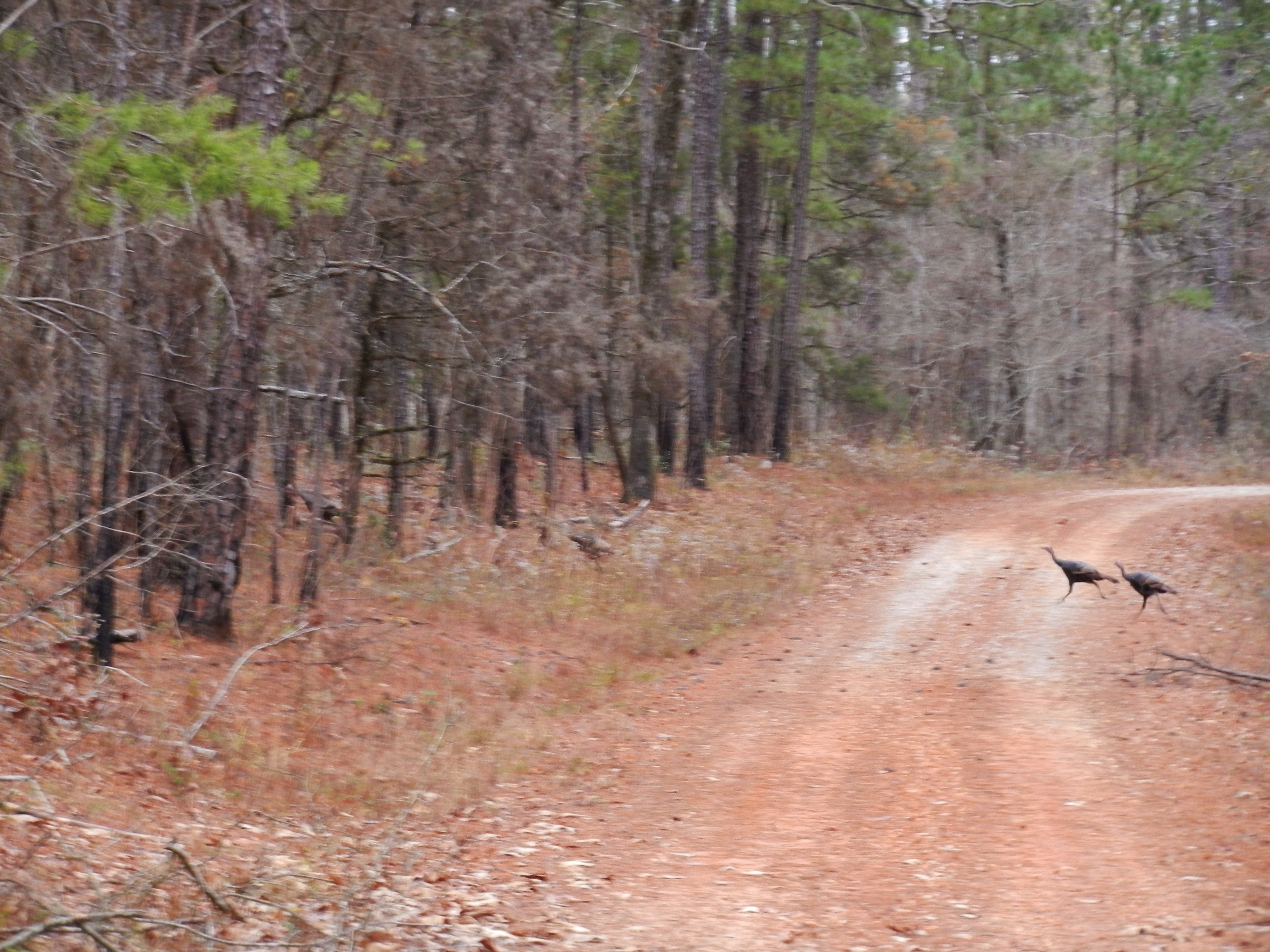
Wild Turkey

Old US Highway 378 Bridge
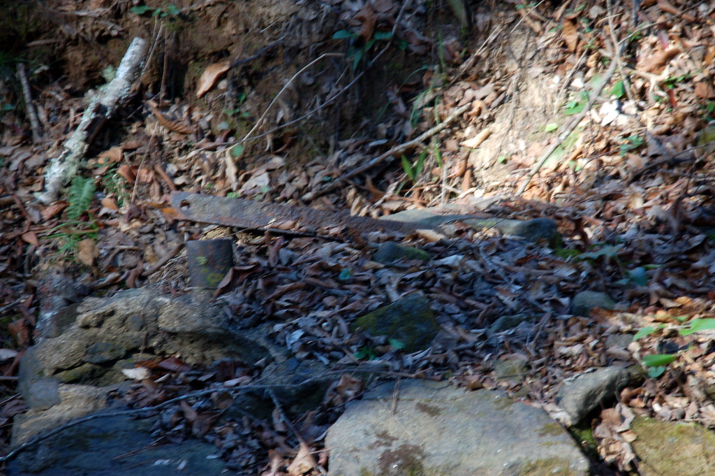
Bridge Remnants
My life slideshow
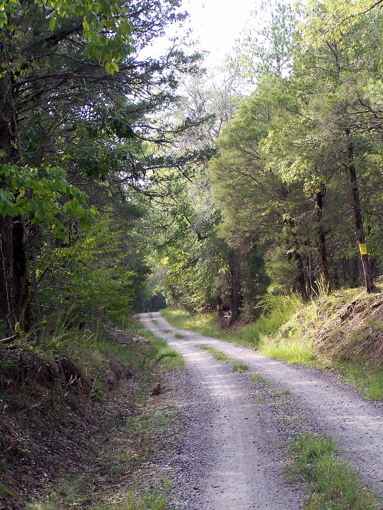
September Roadtrip: Old Charleston Road
Chimney Throw
Chimney Throw
.
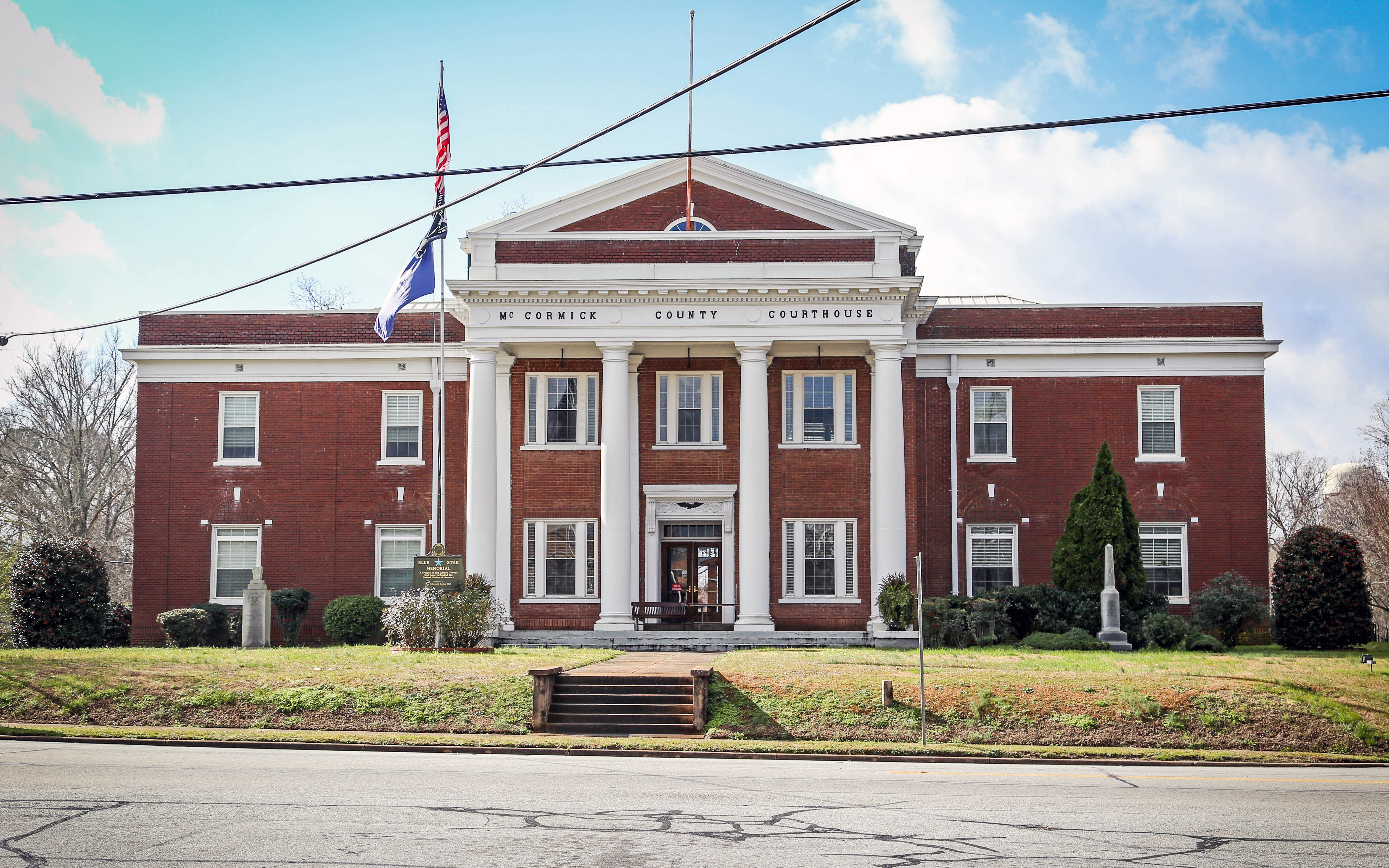
Courthouse - McCormick Co, S.C.
Topographic Map of Chestnut Ridge Rd, McCormick, SC, USA
Find elevation by address:

Places near Chestnut Ridge Rd, McCormick, SC, USA:
Kennedy Road & South Carolina 10
Mccormick
Troy
Neel St, Troy, SC, USA
State Rd S-33-30, McCormick, SC, USA
Savannah Lakes Village Monticello Golf Club
Mccormick County
SC-28, McCormick, SC, USA
1201 Puckett Town Rd
Plum Branch
172 Tara Dr
297 Fairway Dr
142 Royal Pine Ln
131 Evergreen Ln
120-126
212 Links Pl
Richey Rd, McCormick, SC, USA
Bradley
Cedar Point
Elijah Clark State Park
Recent Searches:
- Elevation of W Granada St, Tampa, FL, USA
- Elevation of Pykes Down, Ivybridge PL21 0BY, UK
- Elevation of Jalan Senandin, Lutong, Miri, Sarawak, Malaysia
- Elevation of Bilohirs'k
- Elevation of 30 Oak Lawn Dr, Barkhamsted, CT, USA
- Elevation of Luther Road, Luther Rd, Auburn, CA, USA
- Elevation of Unnamed Road, Respublika Severnaya Osetiya — Alaniya, Russia
- Elevation of Verkhny Fiagdon, North Ossetia–Alania Republic, Russia
- Elevation of F. Viola Hiway, San Rafael, Bulacan, Philippines
- Elevation of Herbage Dr, Gulfport, MS, USA