Elevation of Fairway Dr, McCormick, SC, USA
Location: United States > South Carolina > Mccormick County > Mccormick >
Longitude: -82.389988
Latitude: 33.8869512
Elevation: 117m / 384feet
Barometric Pressure: 100KPa
Elevation Map:
Satellite Map:
Related Photos:

Hickory Knob State Park - Boat Ramp

Plum Branch Houseboat

940 Dorn Mill Historic Img_3043

Hickory Knob State Park - Outside Room 237 (360° x 180° Panorama)

Another closed business - Plum Branch, S.C.
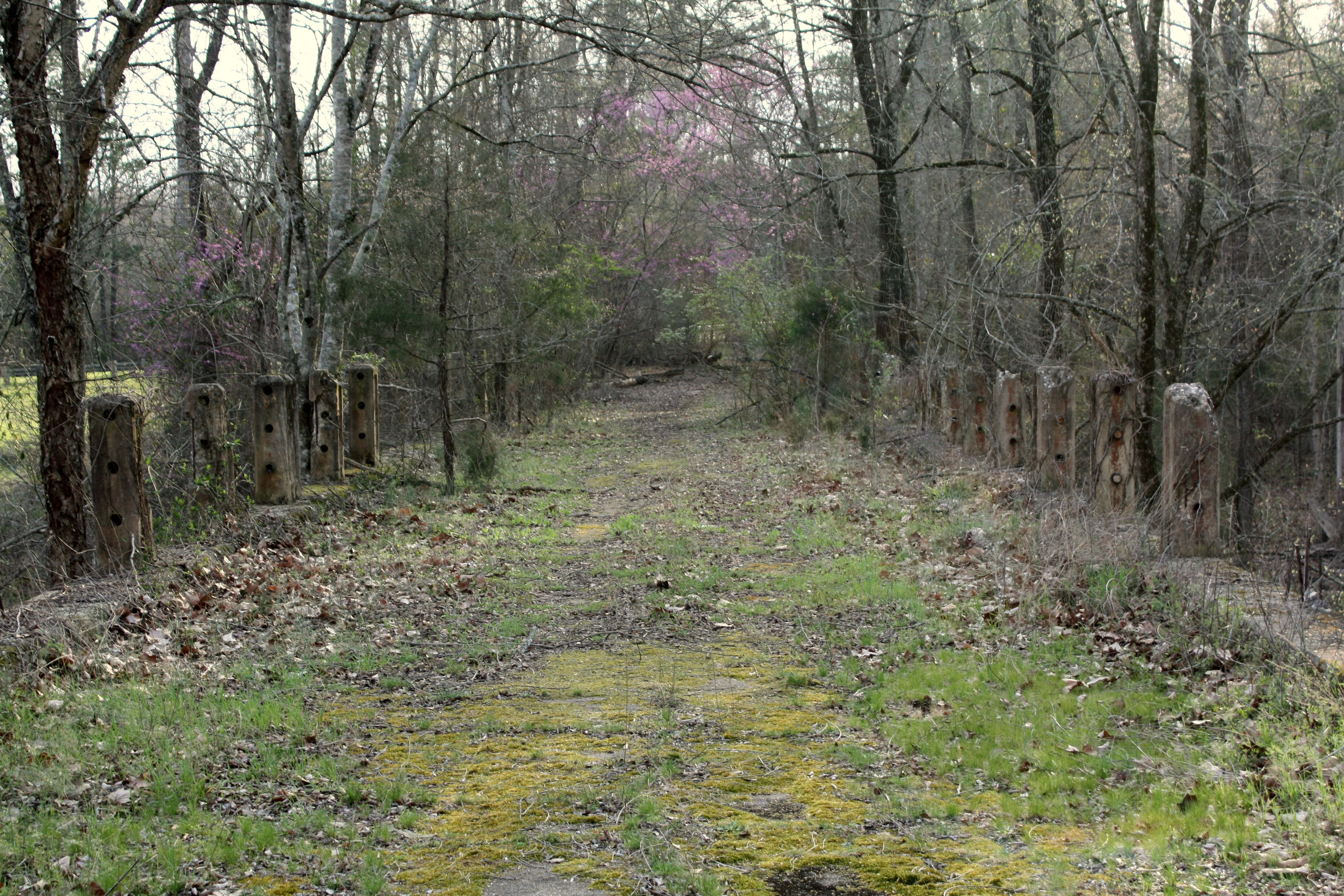
Old US Highway 378 Bridge

don't cut me down

Old US Highway 378 Bridge

Lake Thurmond

Courthouse - McCormick Co, S.C.

March 27, 2013

Long Cane Creek

September Roadtrip: Old Charleston Road

March 27, 2013

Shiloh AME Church Cemetery

Shiloh AME Church Cemetery-001

Indian Massacre Gulley

Sleeping in hammocks... #hammock #outdoors #optoutside #woods #bsa #scout #warbonnet #camping #oa #dixiefellowship

Bethia Presbyterian Church-012

Bridge Remnants

Lower Long Cane ARP Church-002

Bridge Remnants

Lower Long Cane ARP Church-037
Topographic Map of Fairway Dr, McCormick, SC, USA
Find elevation by address:

Places near Fairway Dr, McCormick, SC, USA:
172 Tara Dr
212 Links Pl
131 Evergreen Ln
142 Royal Pine Ln
Elijah Clark State Park
120-126
Savannah Lakes Village Monticello Golf Club
Mccormick
Lincoln County
Nethania Farm Rd, Lincolnton, GA, USA
Cedar Point
State Rd S-33-30, McCormick, SC, USA
Elberton Hwy, Lincolnton, GA, USA
Lincolnton
Double Branches Rd, Lincolnton, GA, USA
Prater Rd, Lincolnton, GA, USA
Midway Church Rd, Lincolnton, GA, USA
Lovelace Rd, Lincolnton, GA, USA
Elberton Hwy, Tignall, GA, USA
698 Saggus Rd
Recent Searches:
- Elevation of Congressional Dr, Stevensville, MD, USA
- Elevation of Bellview Rd, McLean, VA, USA
- Elevation of Stage Island Rd, Chatham, MA, USA
- Elevation of Shibuya Scramble Crossing, 21 Udagawacho, Shibuya City, Tokyo -, Japan
- Elevation of Jadagoniai, Kaunas District Municipality, Lithuania
- Elevation of Pagonija rock, Kranto 7-oji g. 8"N, Kaunas, Lithuania
- Elevation of Co Rd 87, Jamestown, CO, USA
- Elevation of Tenjo, Cundinamarca, Colombia
- Elevation of Côte-des-Neiges, Montreal, QC H4A 3J6, Canada
- Elevation of Bobcat Dr, Helena, MT, USA