Elevation of Candy Branch Shooting Range, Candy Branch Rd, Abbeville, SC, USA
Location: United States > South Carolina > Abbeville County > Abbeville >
Longitude: -82.332215
Latitude: 34.0819477
Elevation: 118m / 387feet
Barometric Pressure: 100KPa
Elevation Map:
Satellite Map:
Related Photos:
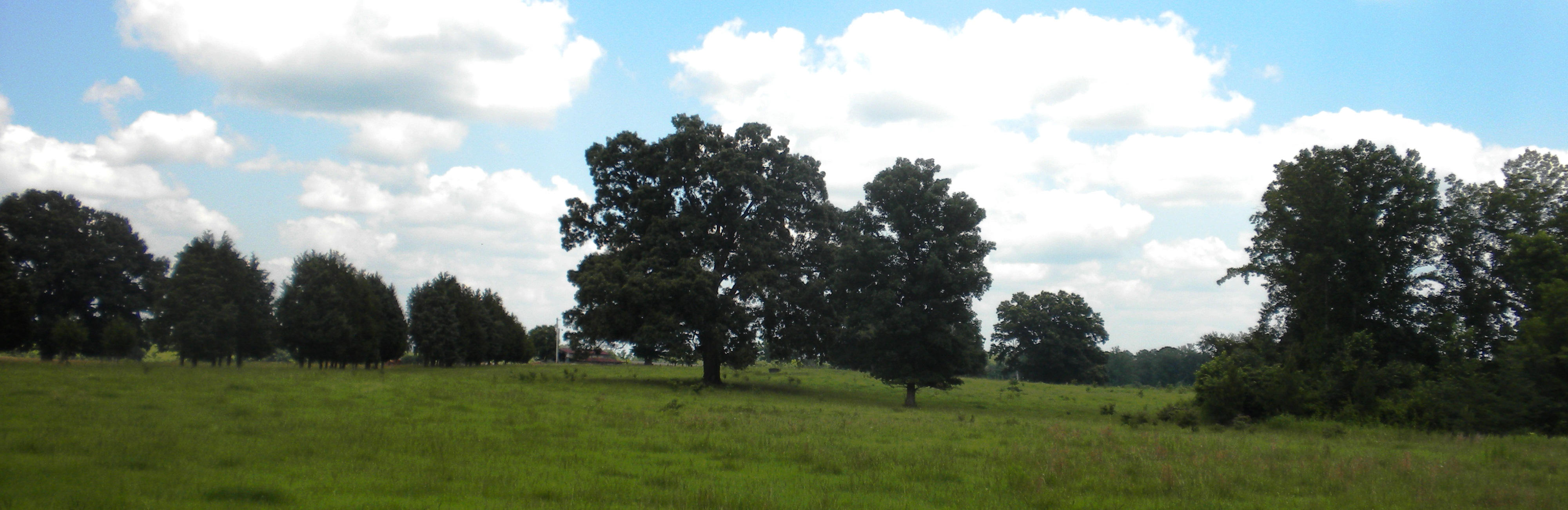
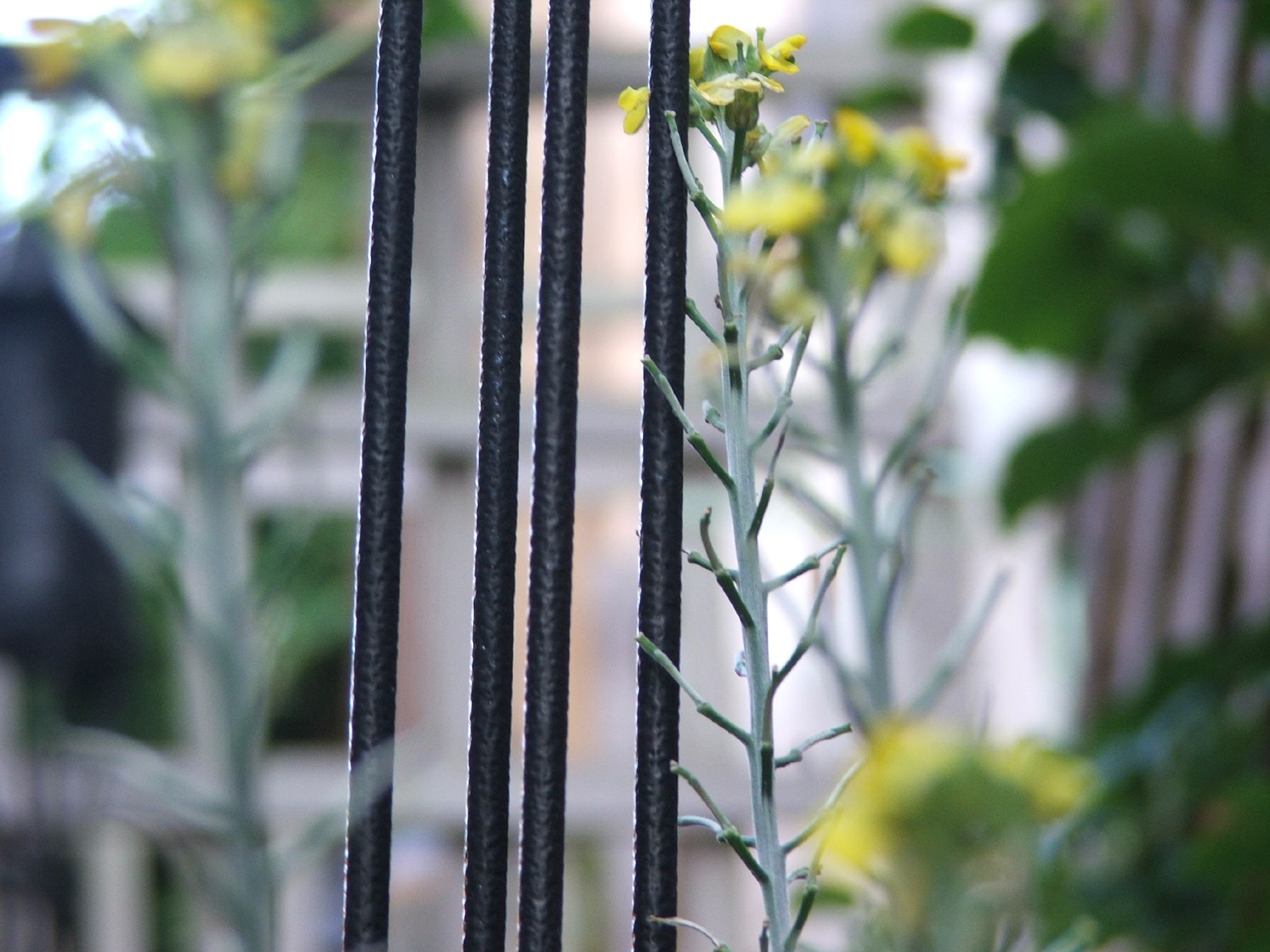
summer field

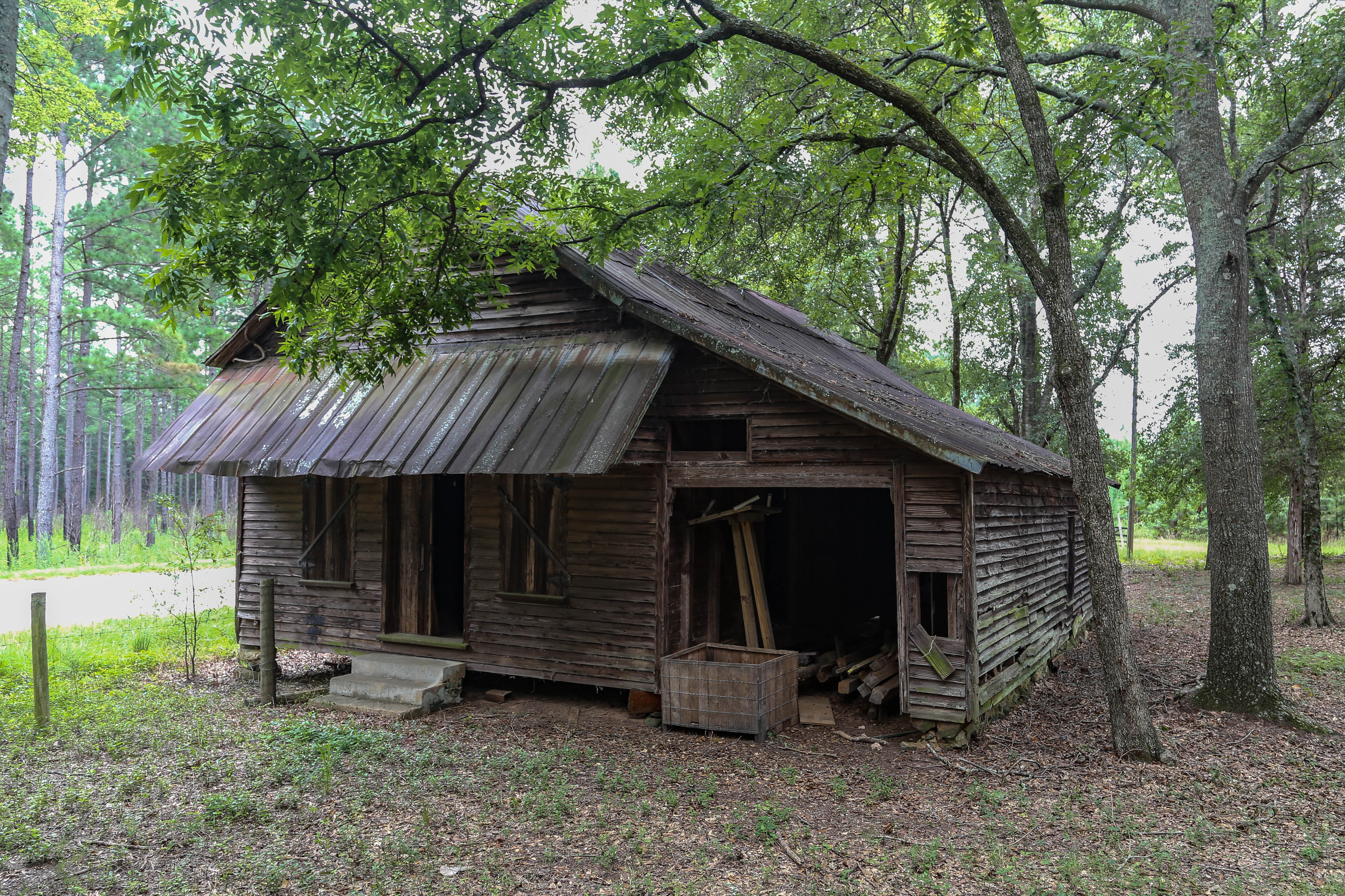
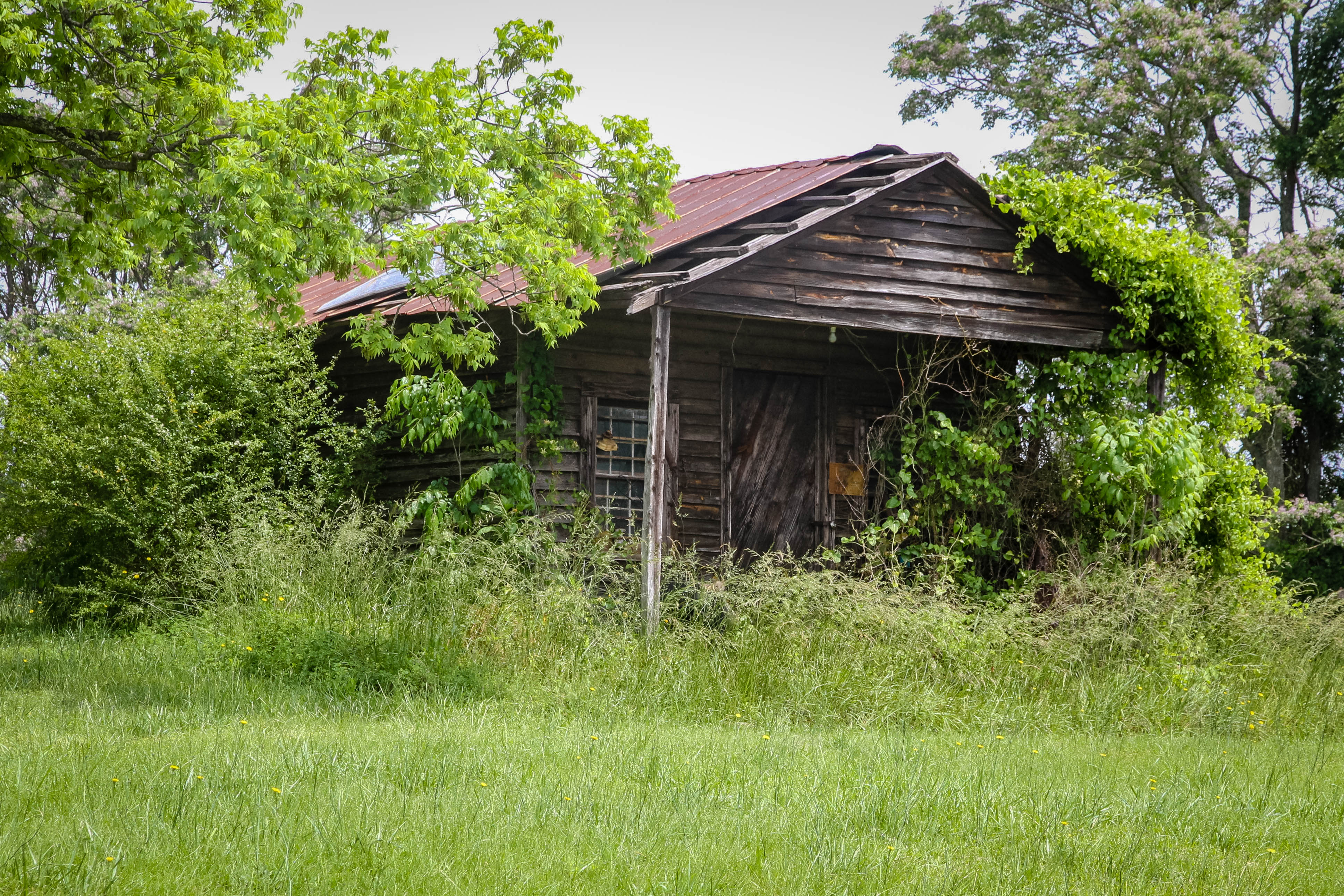
Old farm home - Abbeville, S.C.
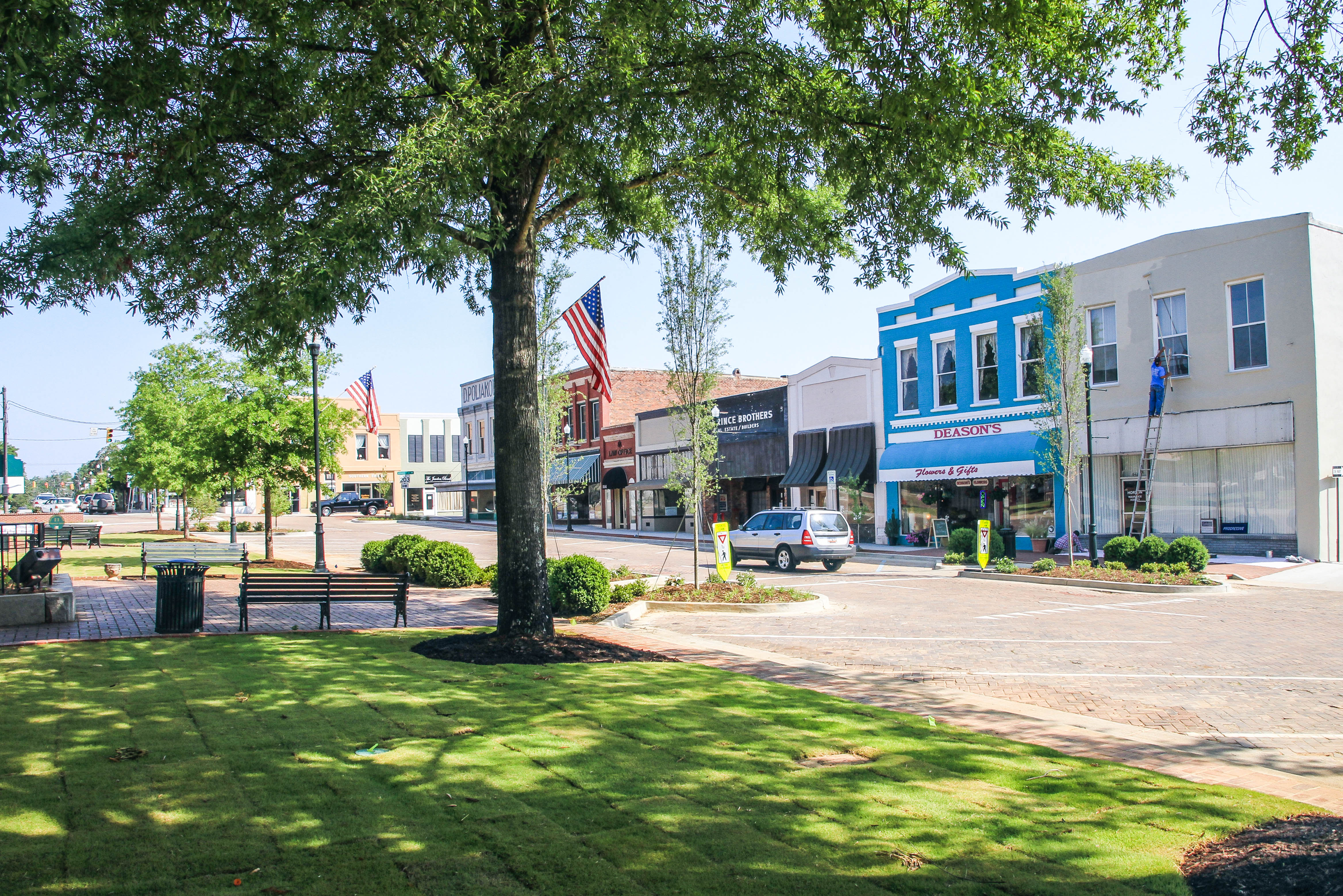
Abbeville S.C. - town square

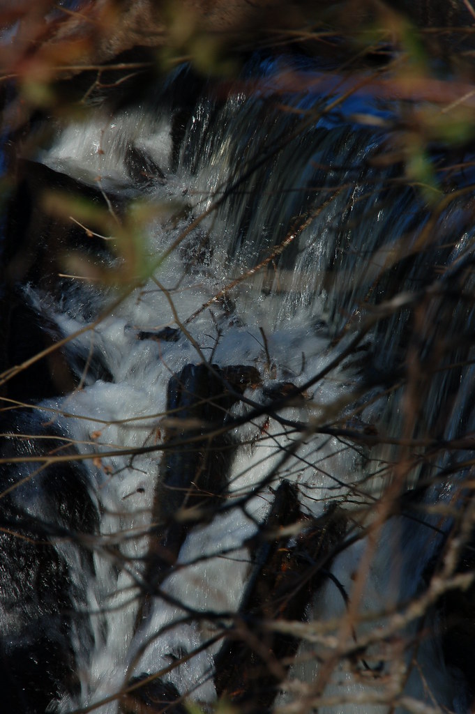
Gully 360
Dangling 2
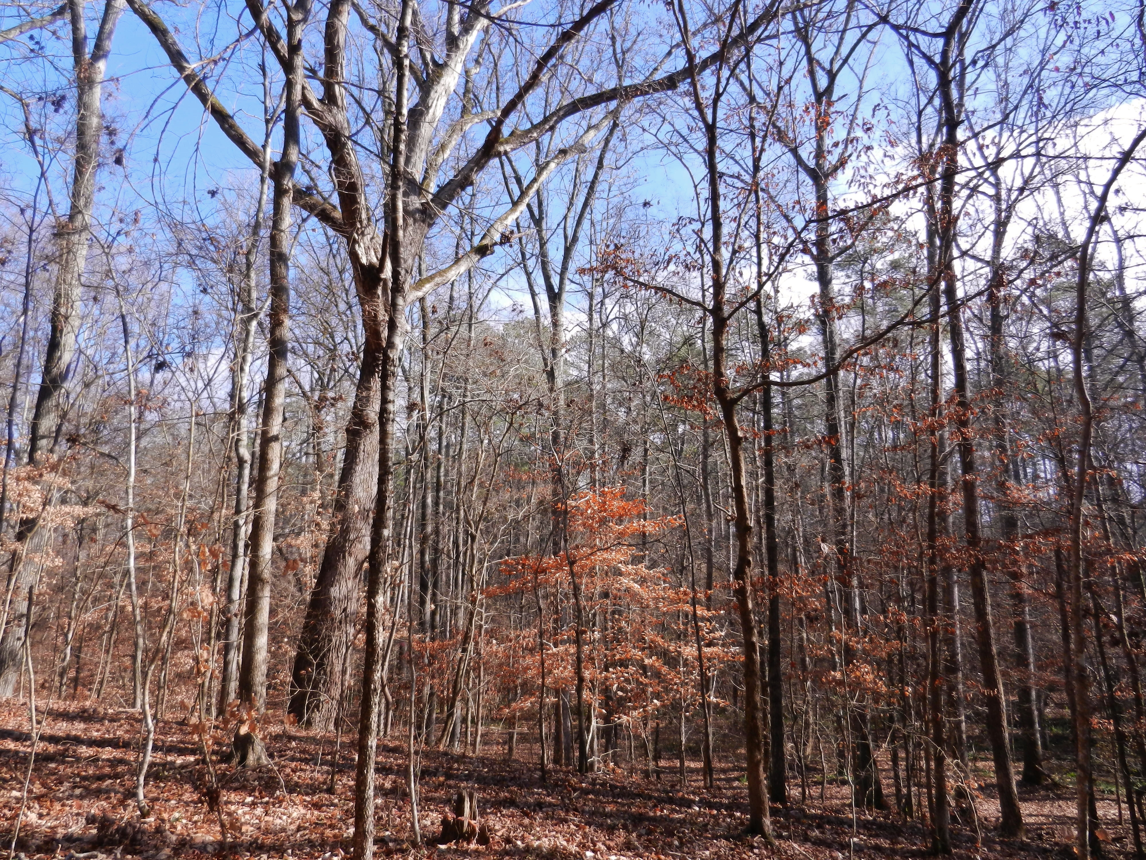
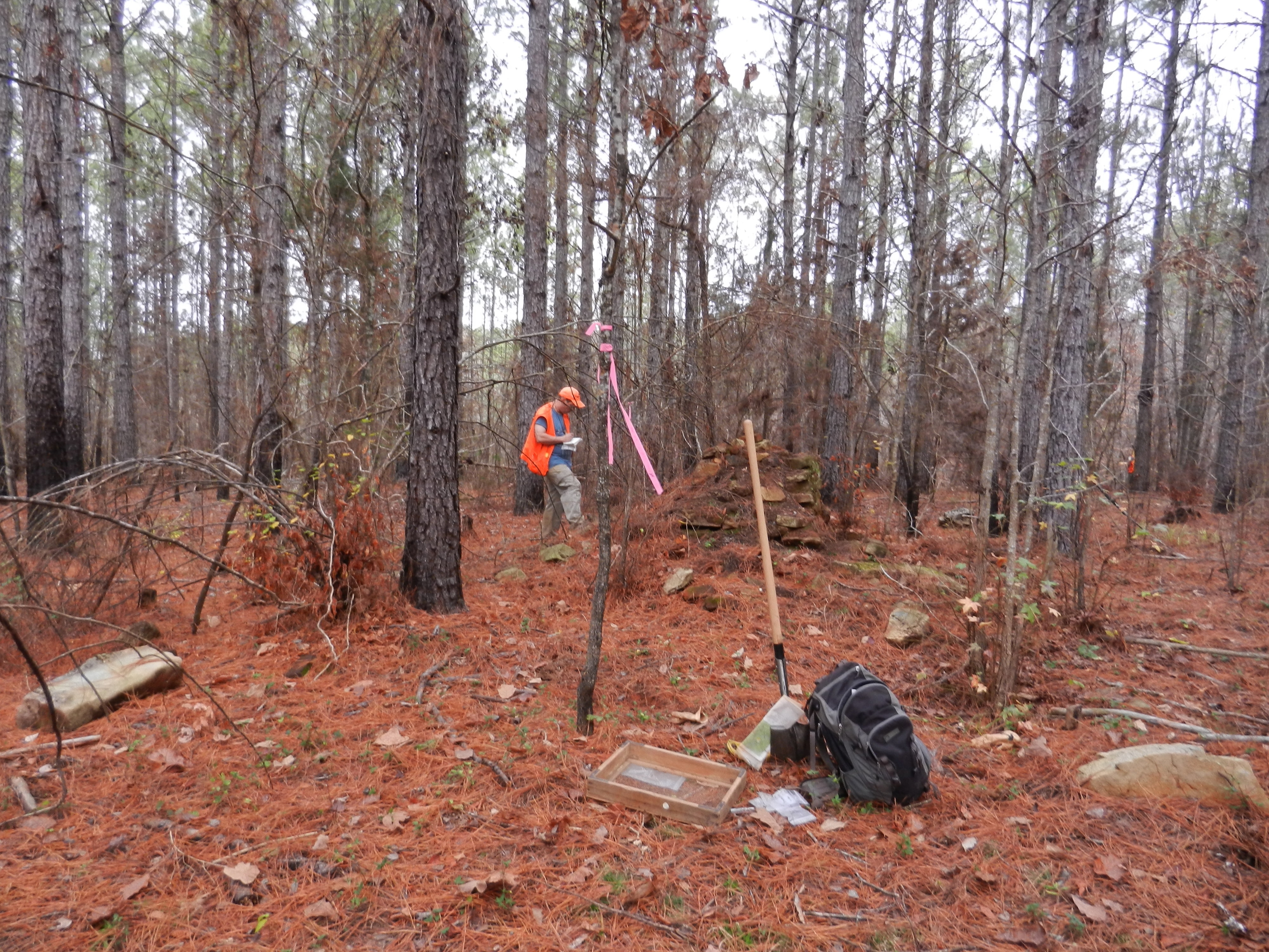
Sumter National Forest
Dangling 1

Abbey's Alley
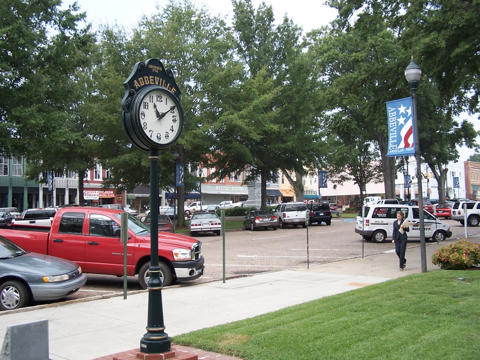
Abbeville Square - View from the Opera House
Chimney Throw
Old barn - Bradley, S.C.
Barns - Eden Hall - McCormick, S.C.
Chimney Throw
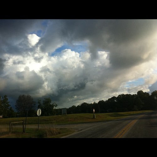
Some magnificent stormclouds on my drive this morning. Ever-changing.

100_2263.JPG

100_2264.JPG
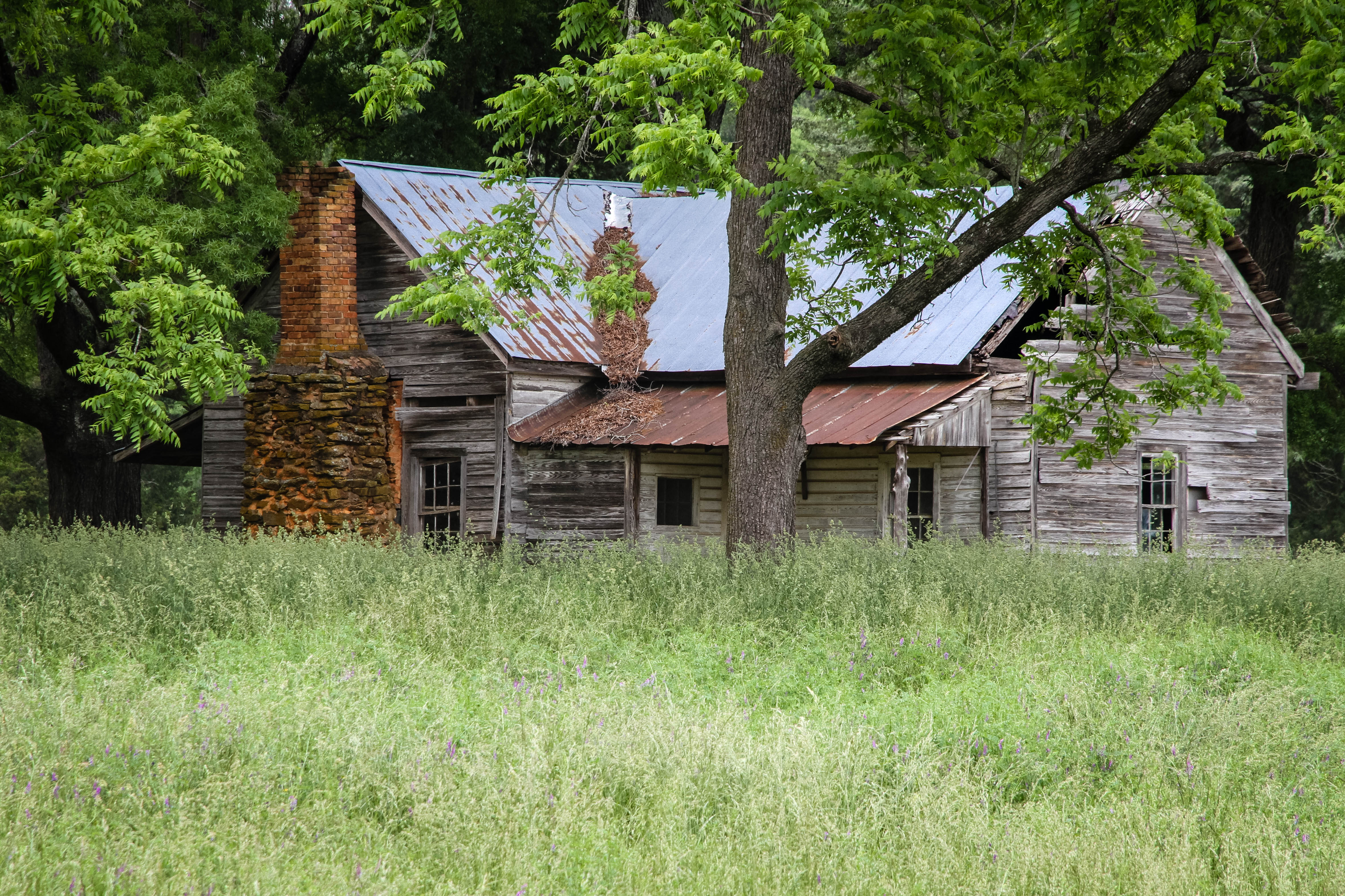
Old farm home - Abbeville S.C.
Calhoun Mil Dam
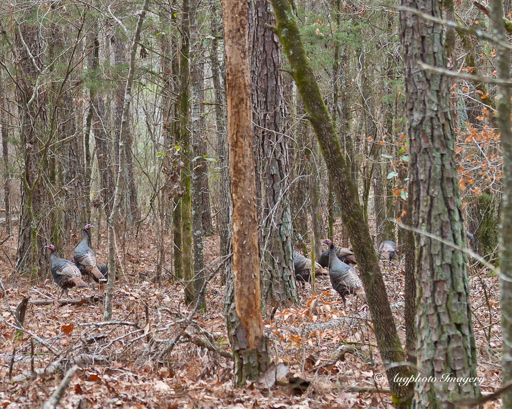
Many Turkeys
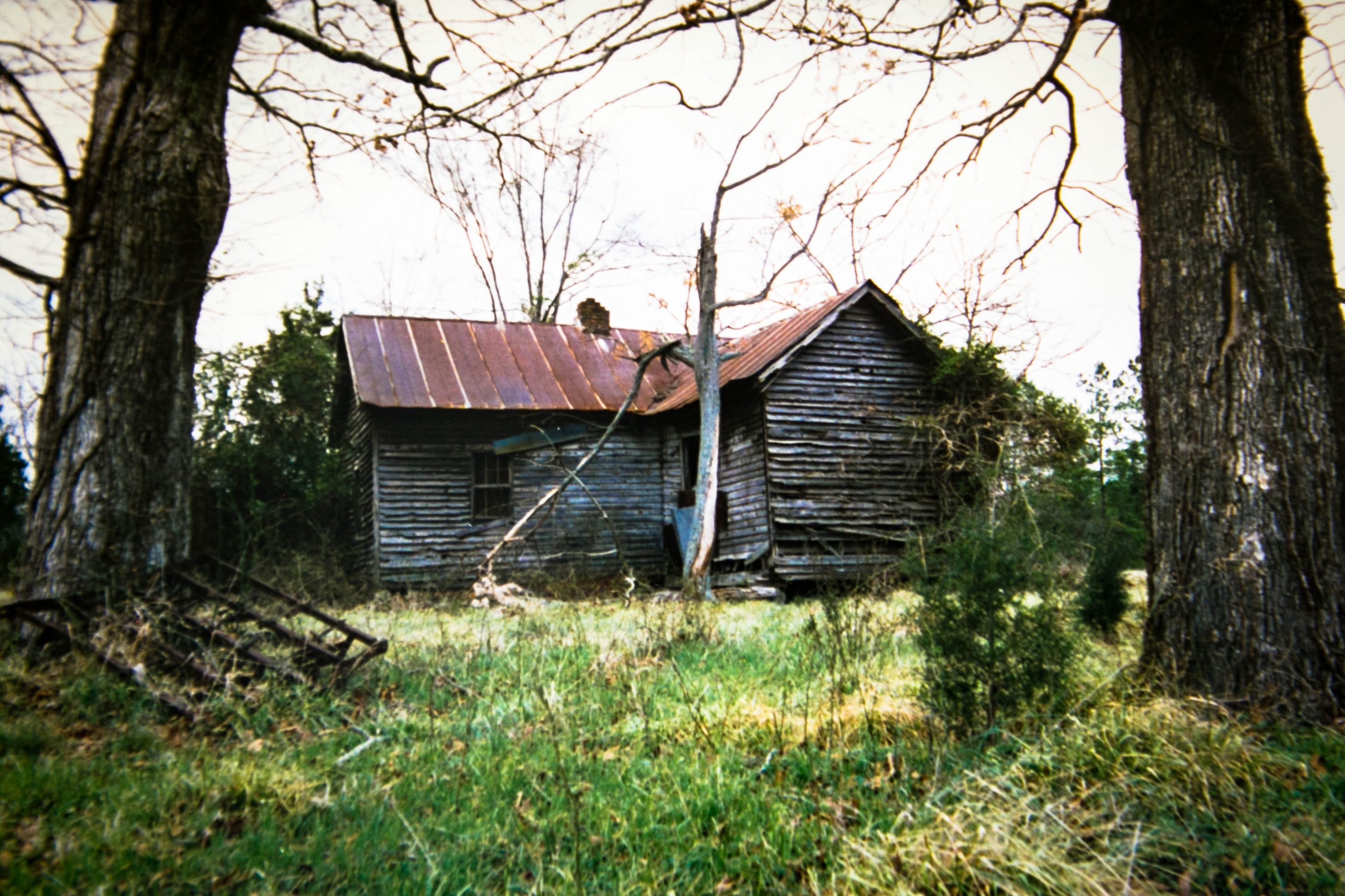
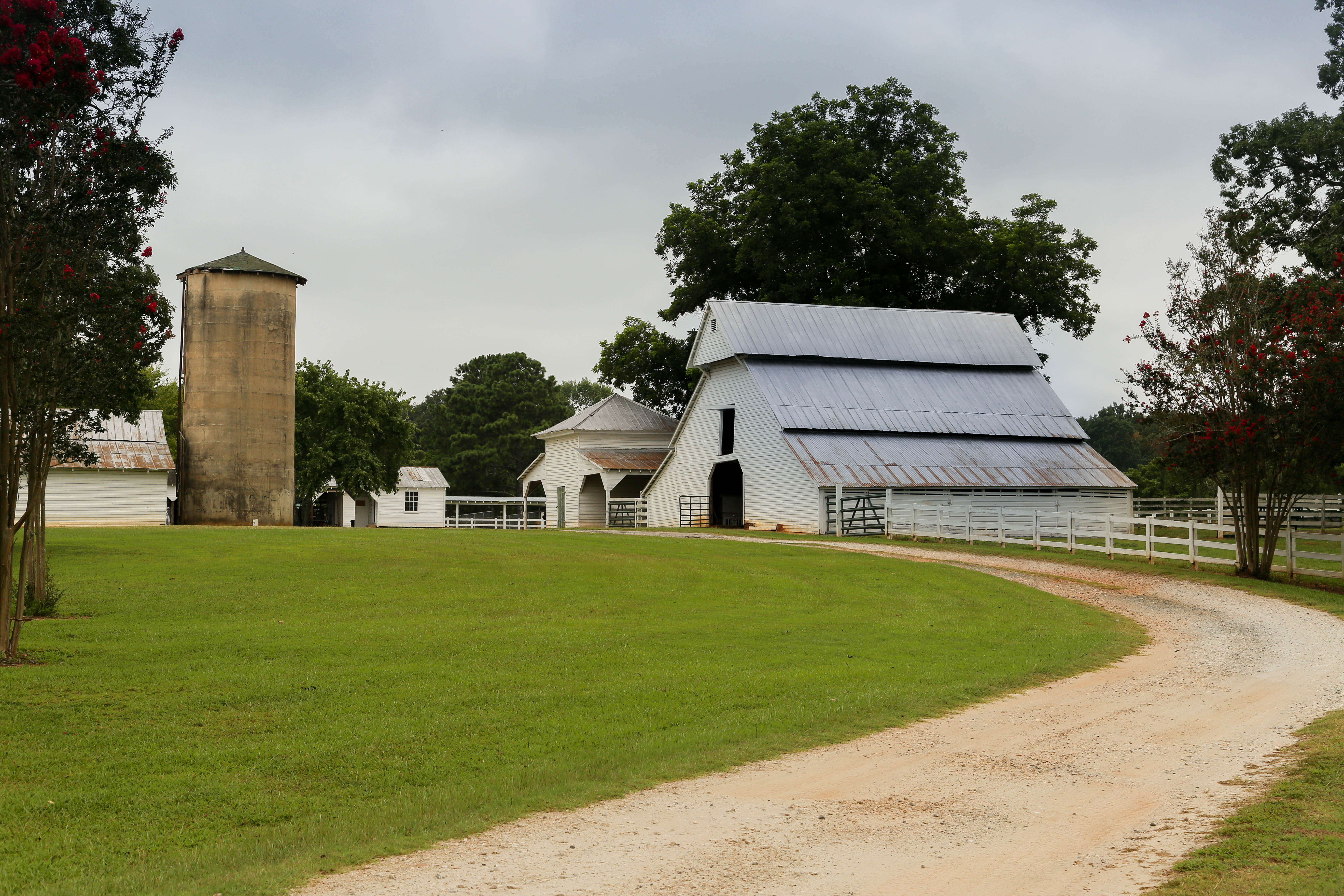
Farm home - Abbeville S.C.
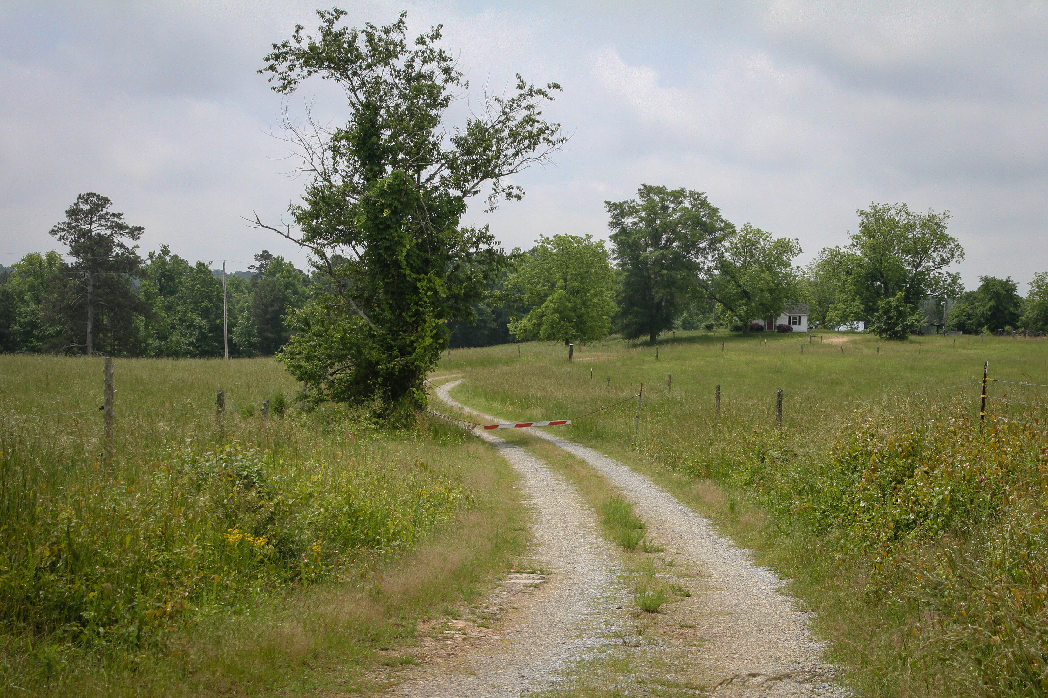
Gravel road - Abbeville S.C.
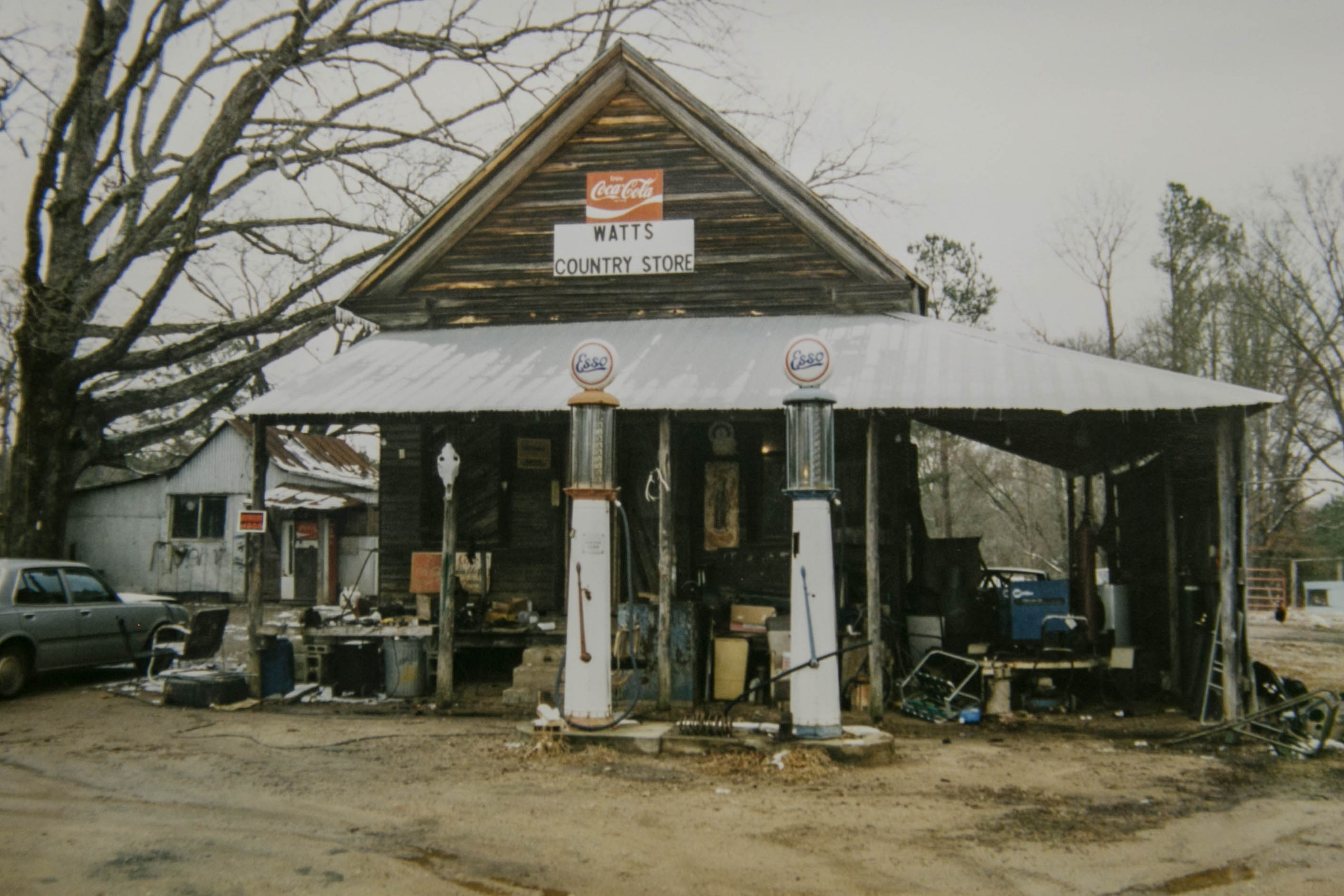
Watts Country Store - Abbeville, S.C.
Old Gables Store - Abbeville S.C.

Sunset, clouds, phone lines n bugs.
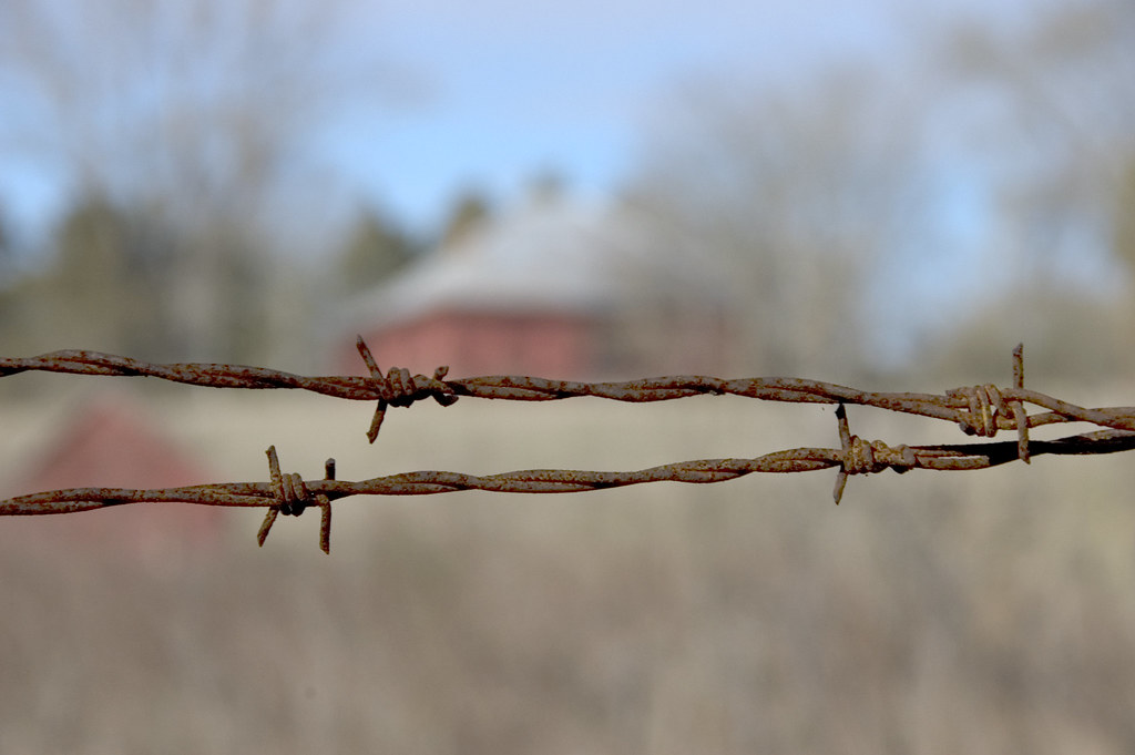
Barbed Wire at Calhoun Mill
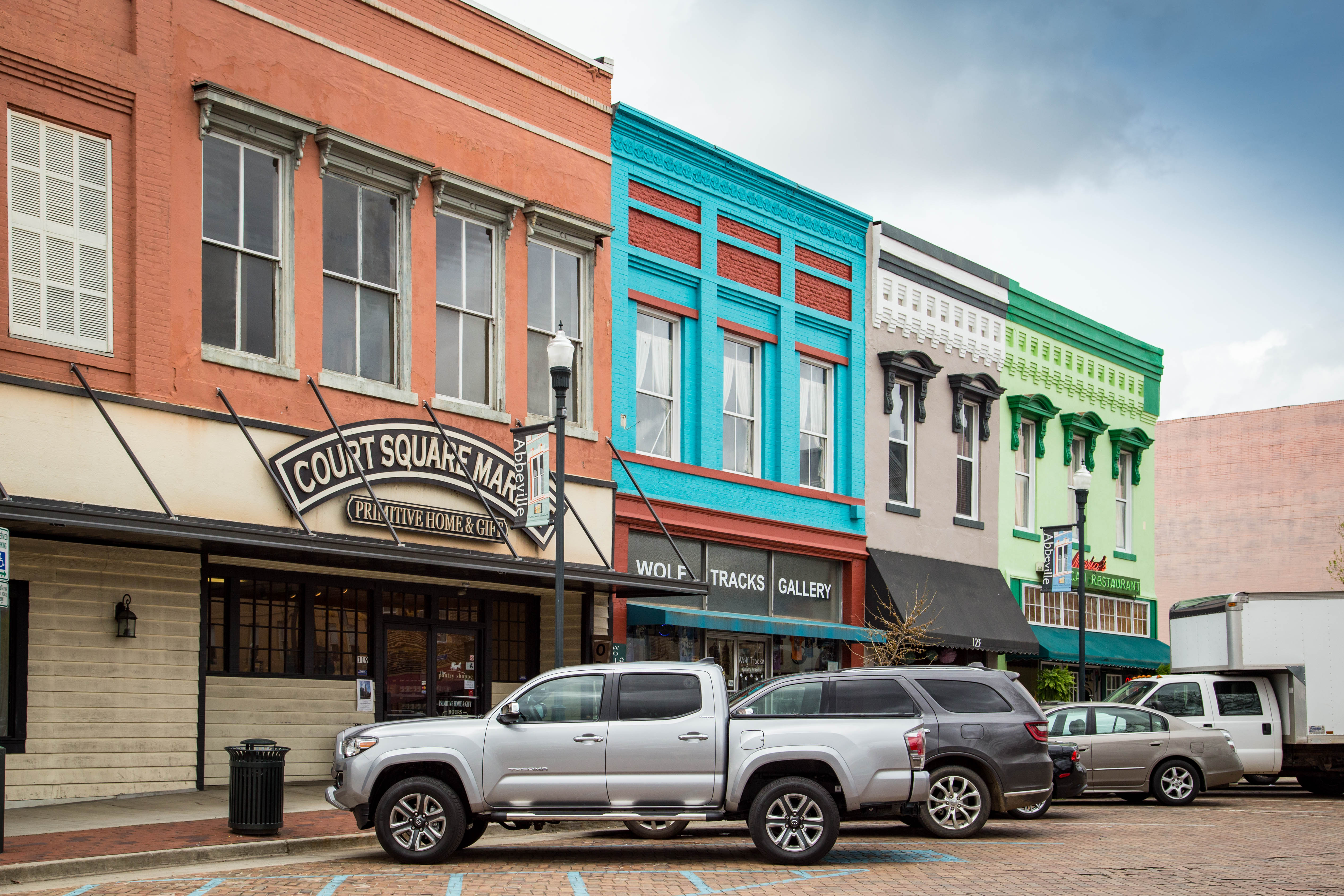
Colorful buildings - Abbeville, S.C.
Calhoun Mil Dam
Topographic Map of Candy Branch Shooting Range, Candy Branch Rd, Abbeville, SC, USA
Find elevation by address:

Places near Candy Branch Shooting Range, Candy Branch Rd, Abbeville, SC, USA:
1201 Puckett Town Rd
McCormick Hwy, Bradley, SC, USA
Bradley
92 Union Church Rd
Neel St, Troy, SC, USA
Troy
Abbeville
1102 N Main St
228 Faith Ln
County Rd S-1-3, Abbeville, SC, USA
Kennedy Road & South Carolina 10
Richey Rd, McCormick, SC, USA
SC-28, McCormick, SC, USA
Old Hodges Rd, Abbeville, SC, USA
Twisted Oak Dr, Greenwood, SC, USA
1787 Chestnut Ridge Rd
1780 Stevenson Rd
314 Gatewood Dr
2117 Hwy 72 W
1233 John's Creek Rd
Recent Searches:
- Elevation of Leyte Industrial Development Estate, Isabel, Leyte, Philippines
- Elevation of W Granada St, Tampa, FL, USA
- Elevation of Pykes Down, Ivybridge PL21 0BY, UK
- Elevation of Jalan Senandin, Lutong, Miri, Sarawak, Malaysia
- Elevation of Bilohirs'k
- Elevation of 30 Oak Lawn Dr, Barkhamsted, CT, USA
- Elevation of Luther Road, Luther Rd, Auburn, CA, USA
- Elevation of Unnamed Road, Respublika Severnaya Osetiya — Alaniya, Russia
- Elevation of Verkhny Fiagdon, North Ossetia–Alania Republic, Russia
- Elevation of F. Viola Hiway, San Rafael, Bulacan, Philippines