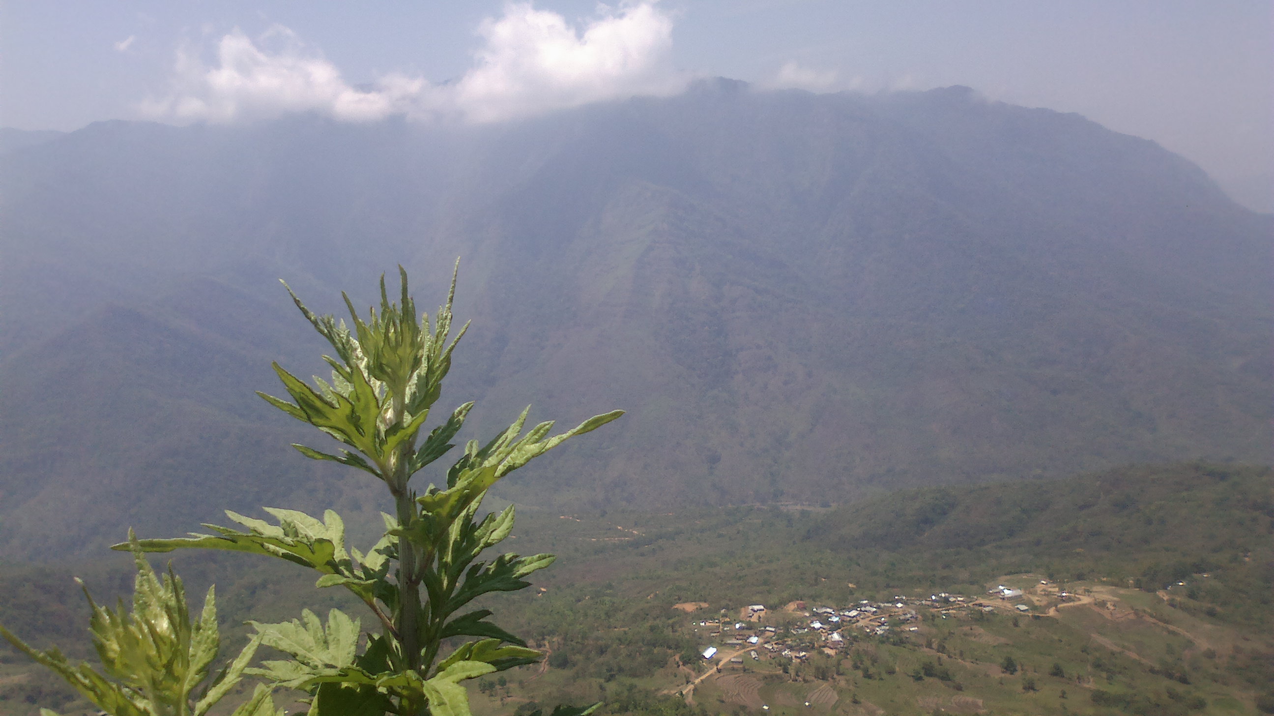
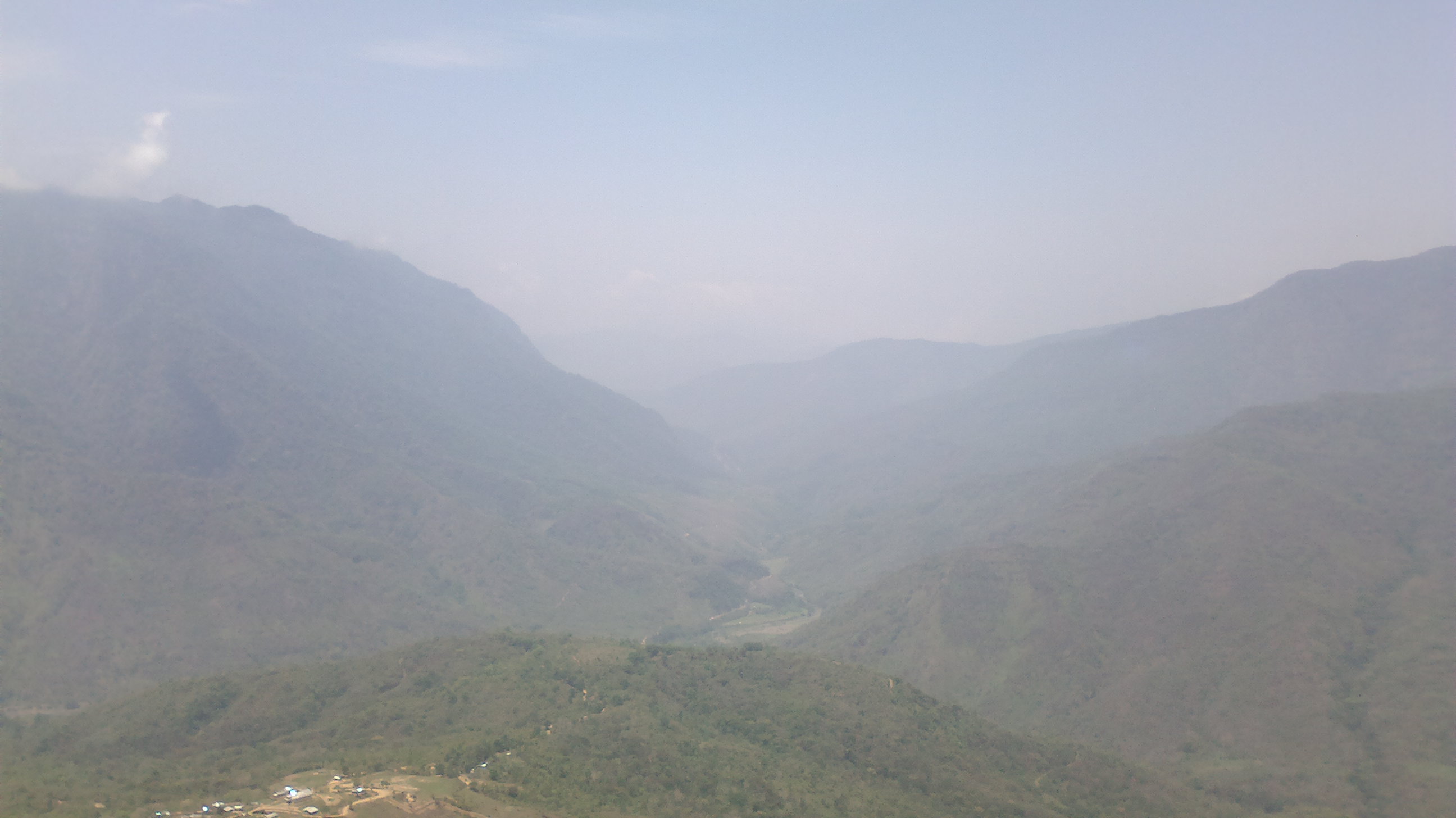
Elevation of Sangkunglong, Manipur, India
Location: India > Manipur > Senapati >
Longitude: 93.969031
Latitude: 25.4543487
Elevation: 1473m / 4833feet
Barometric Pressure: 85KPa
Elevation Map:
Satellite Map:
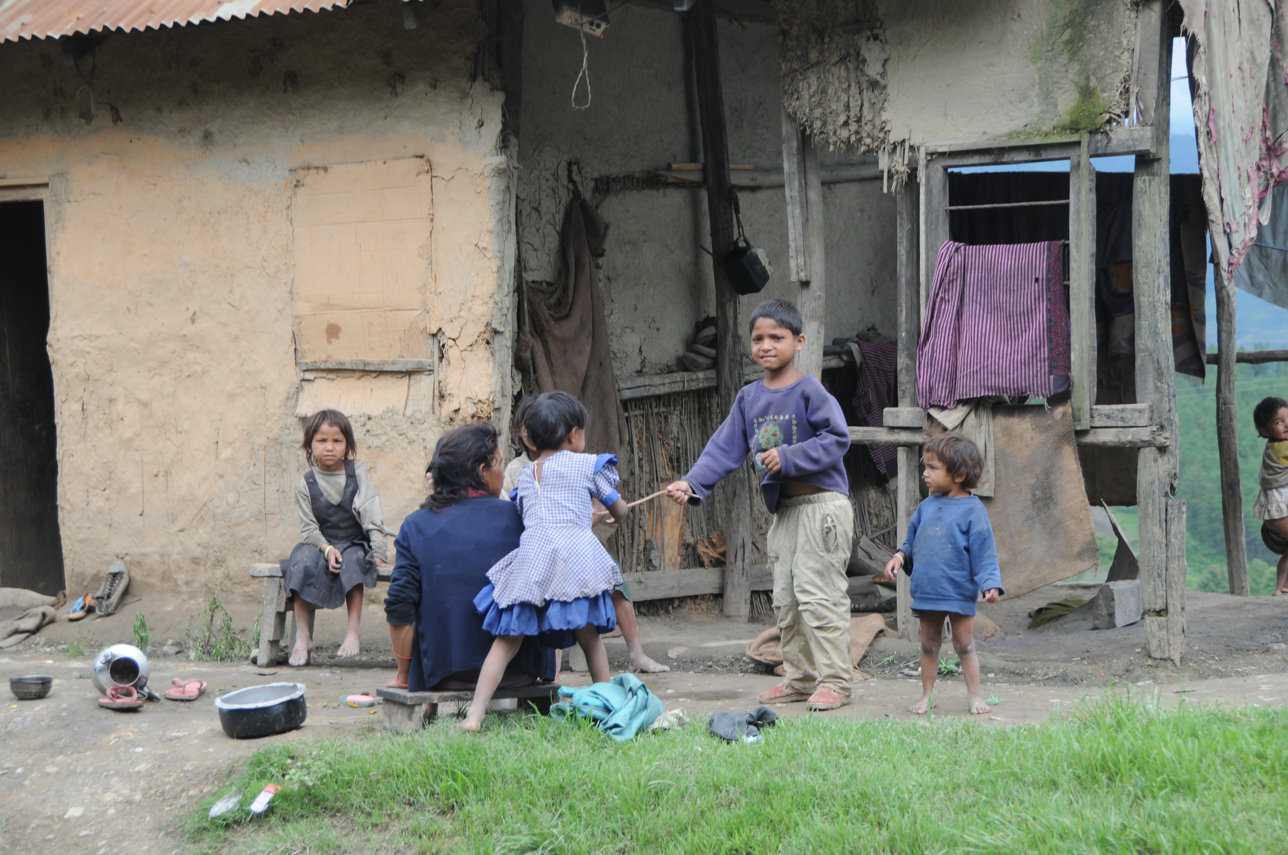
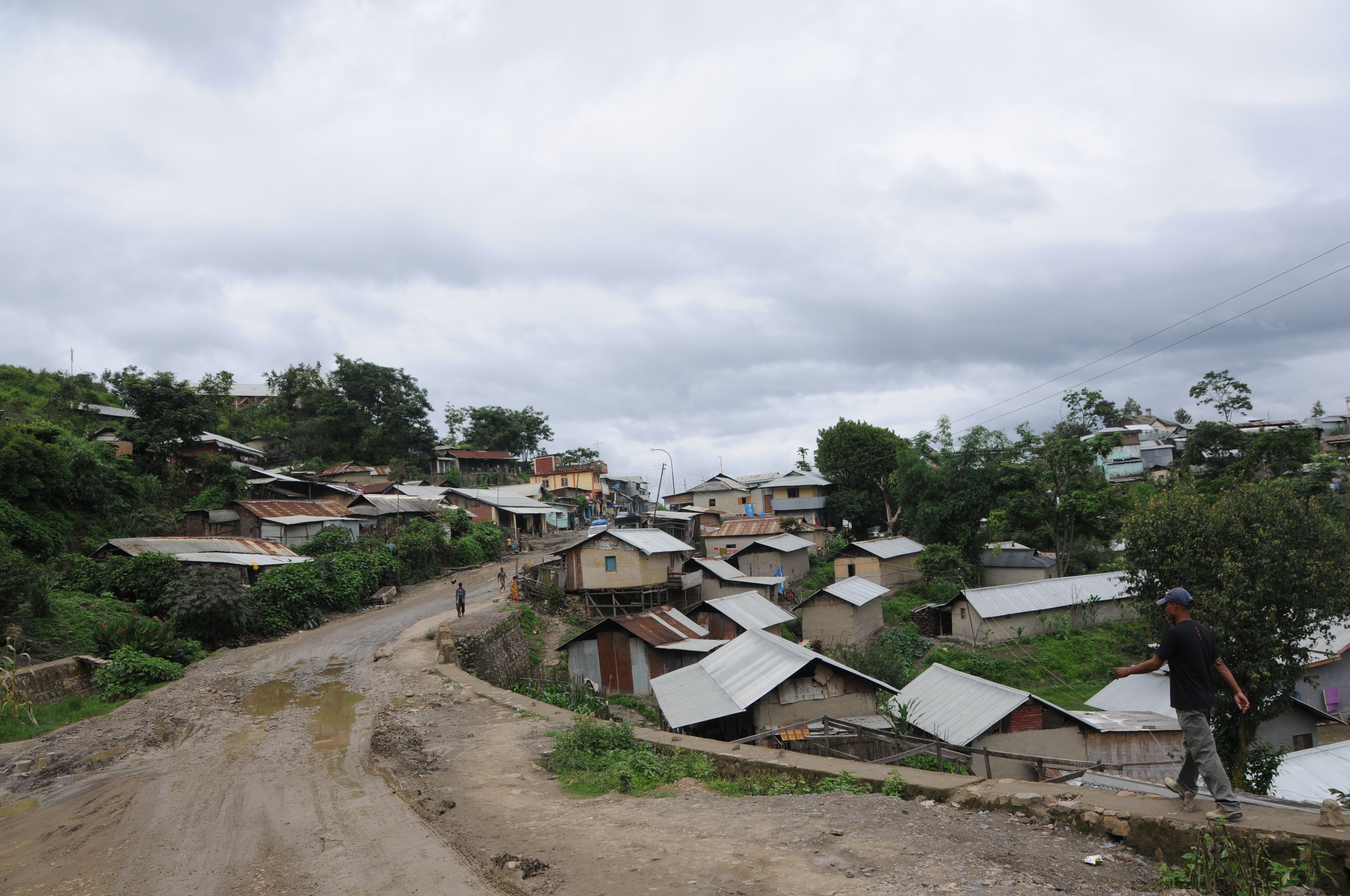
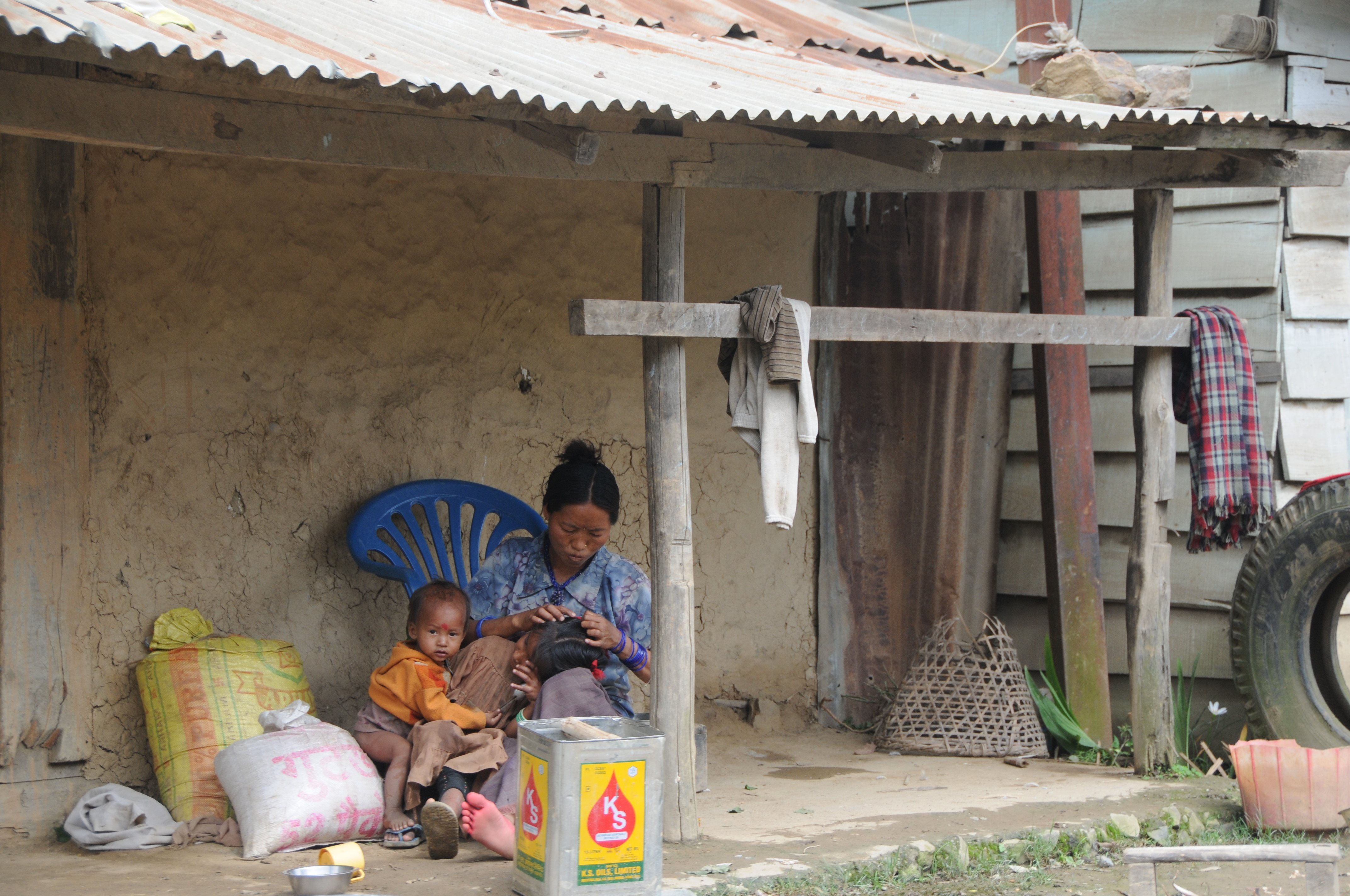
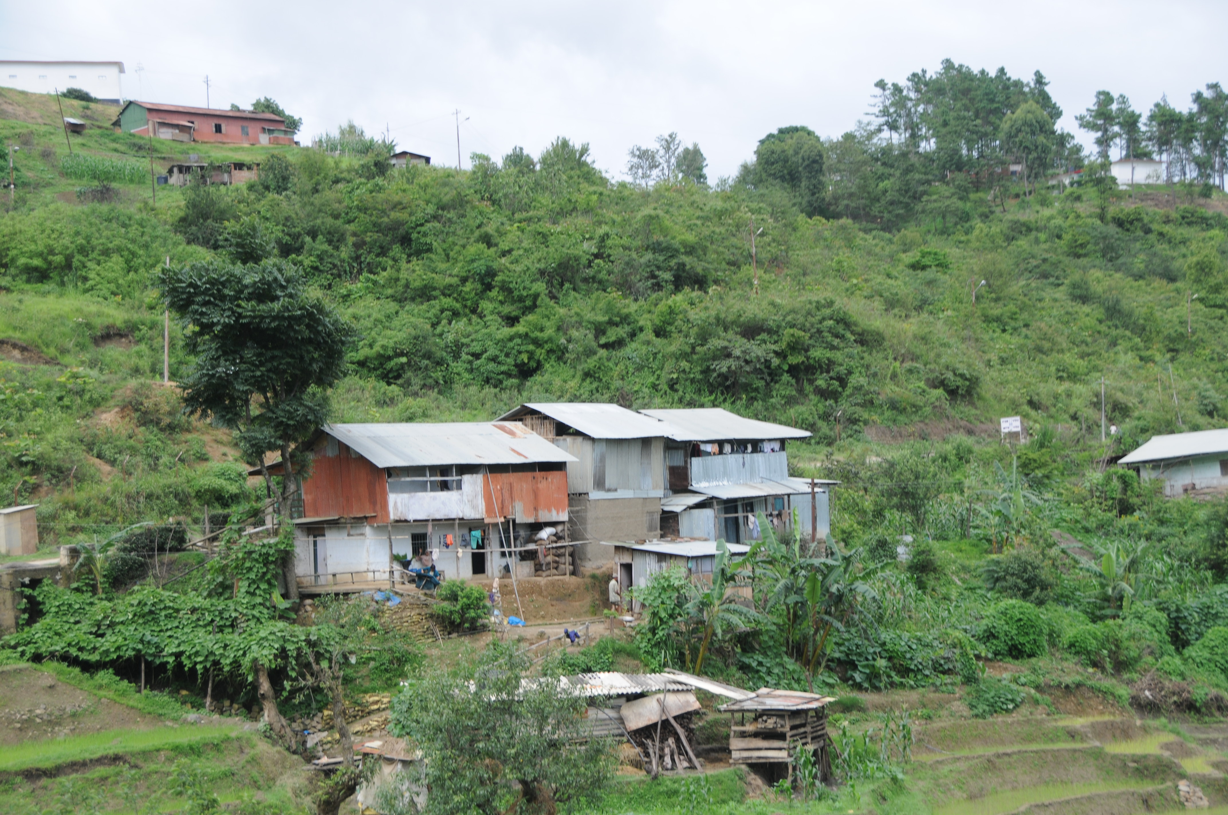
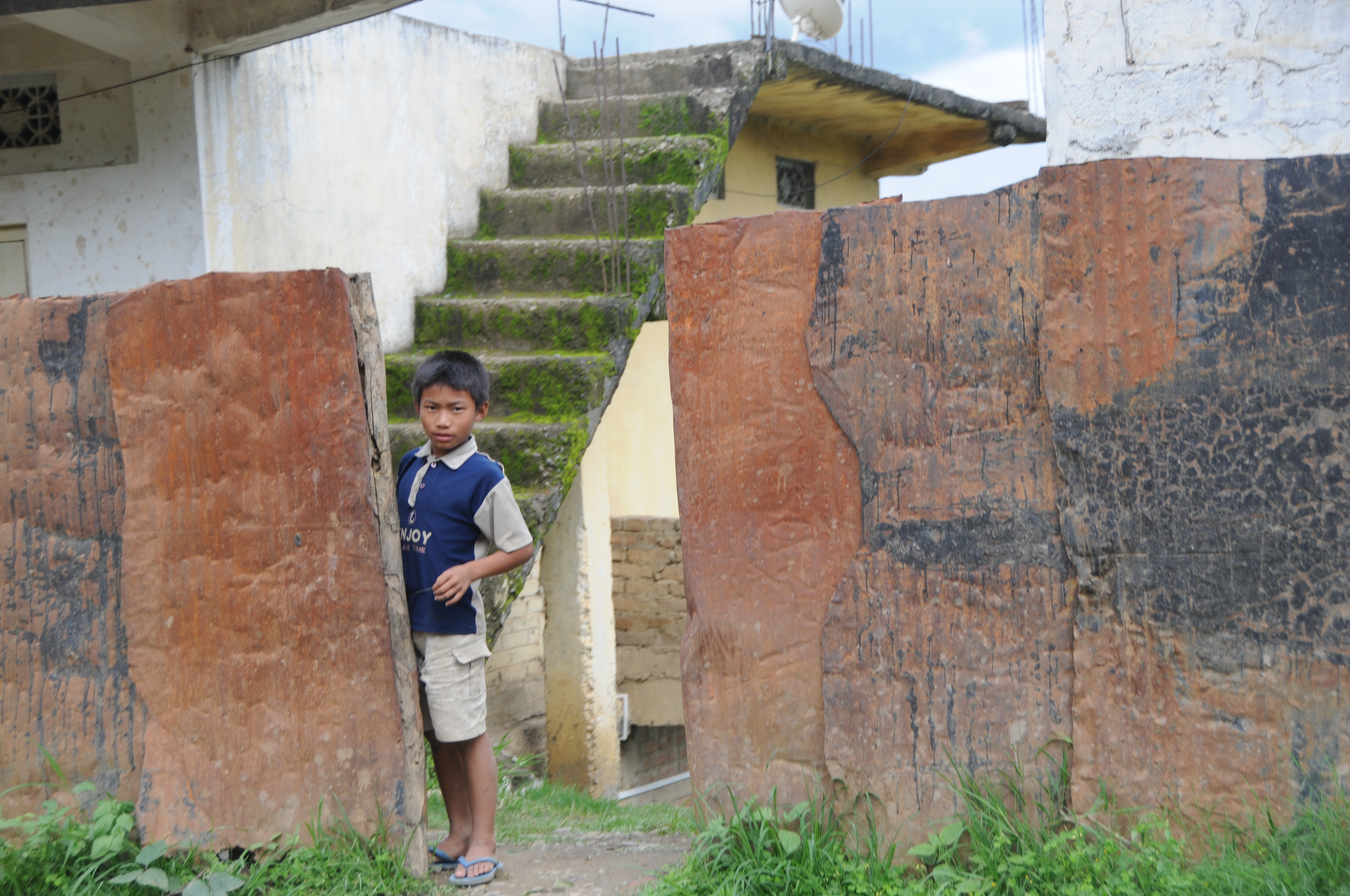
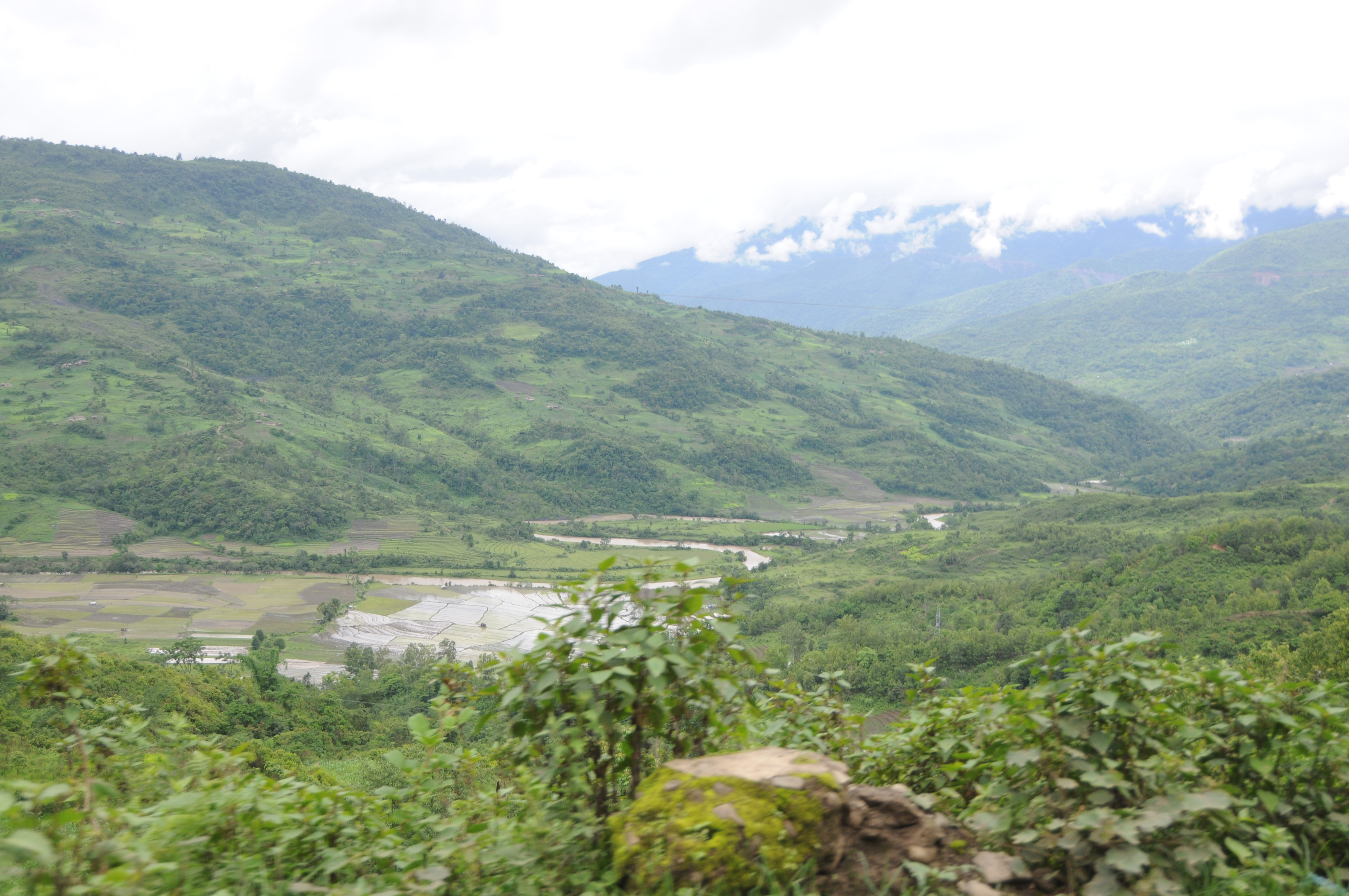
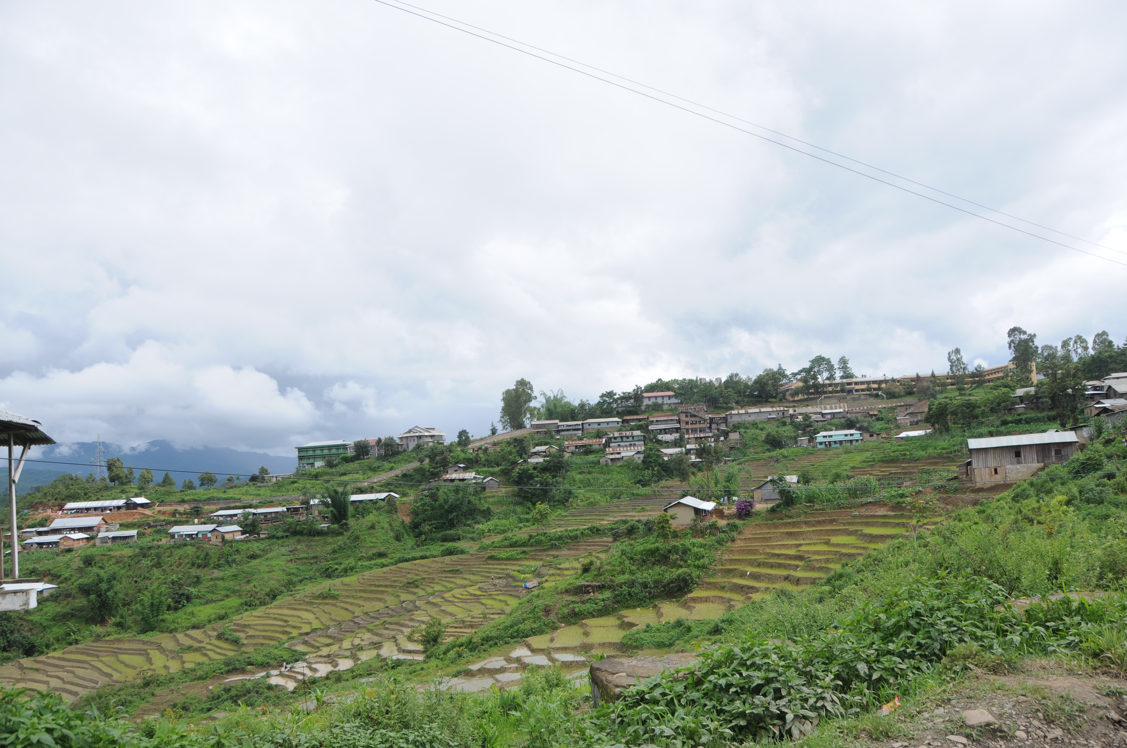
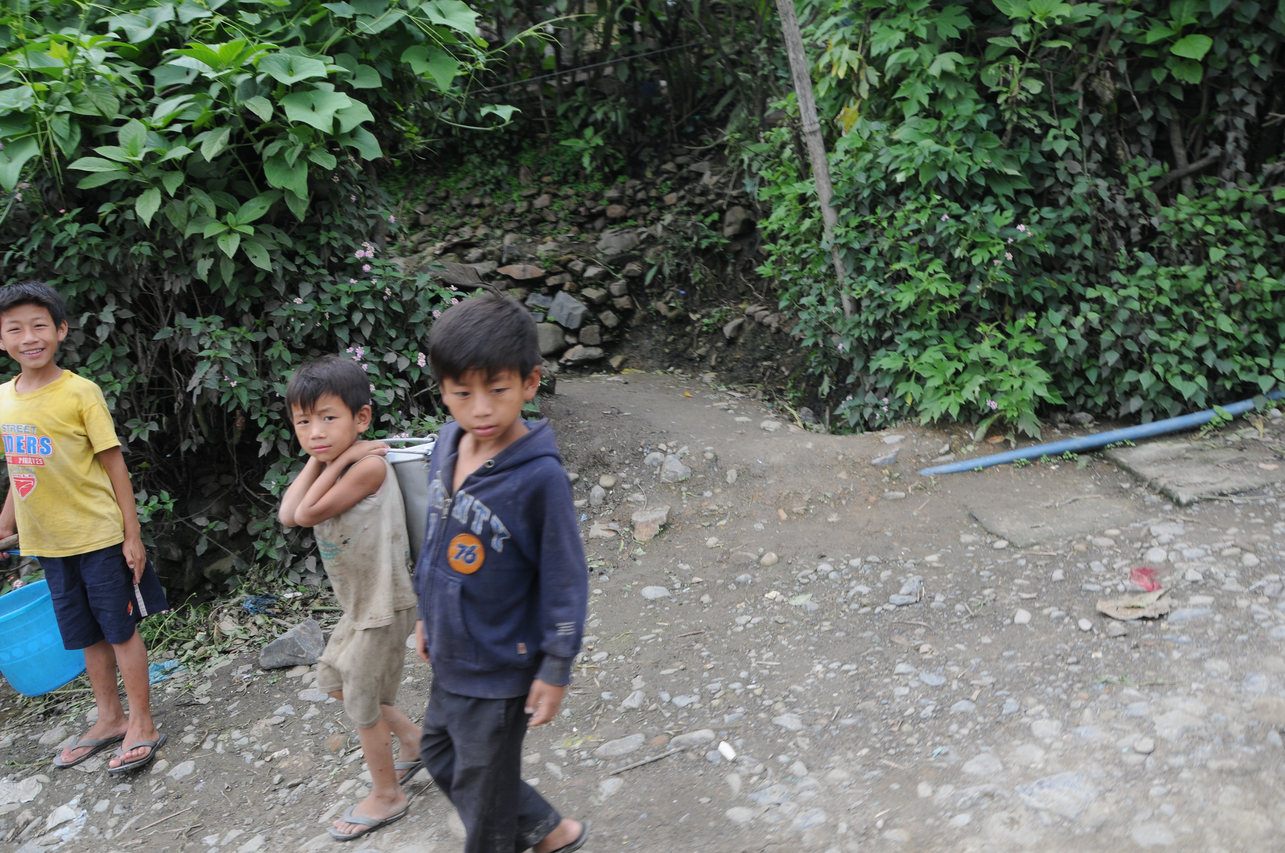
Related Photos:
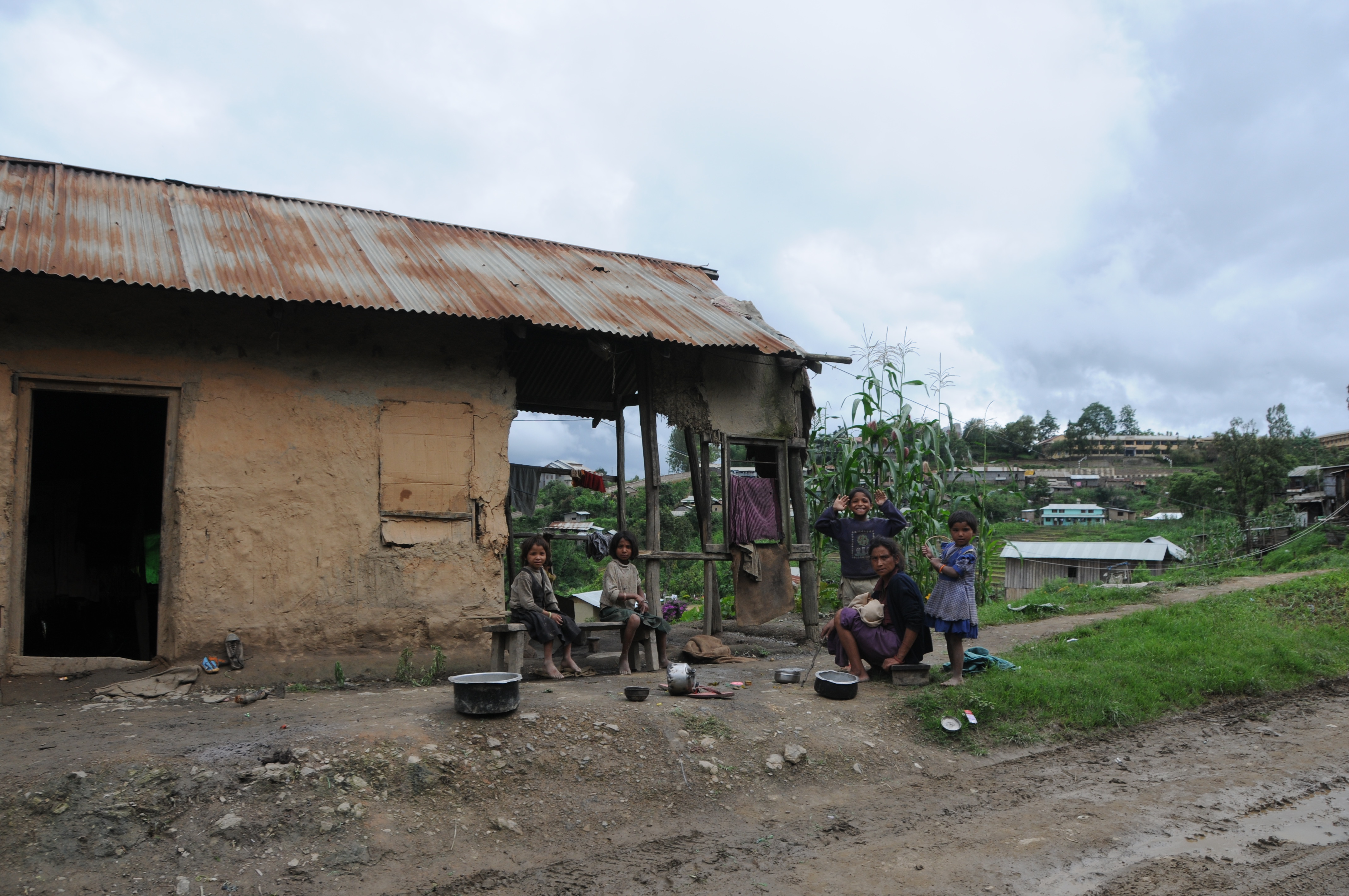
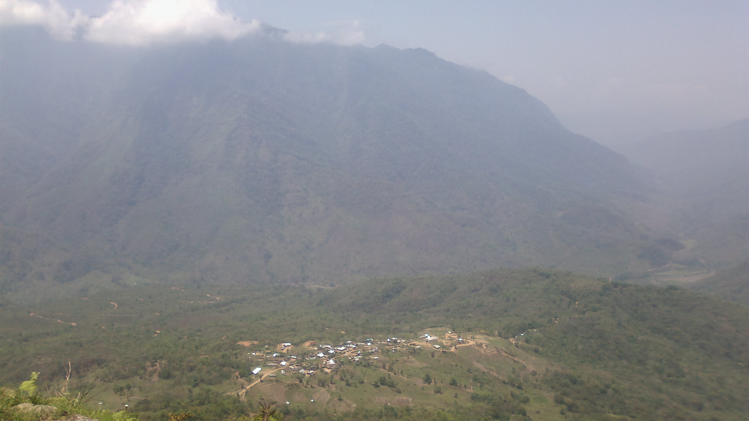
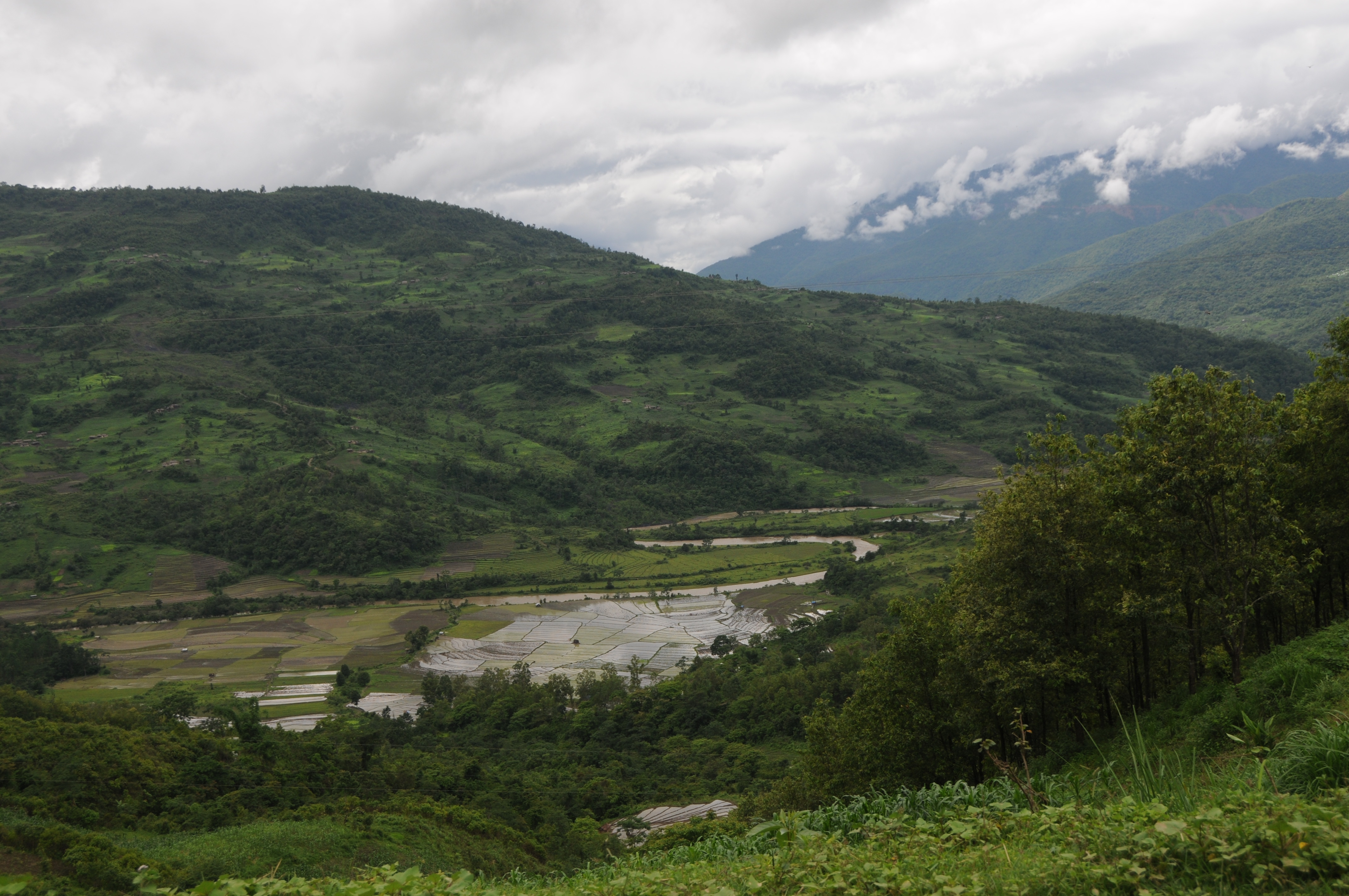
View of Willong Knunou, Senapati District, Manipur, India
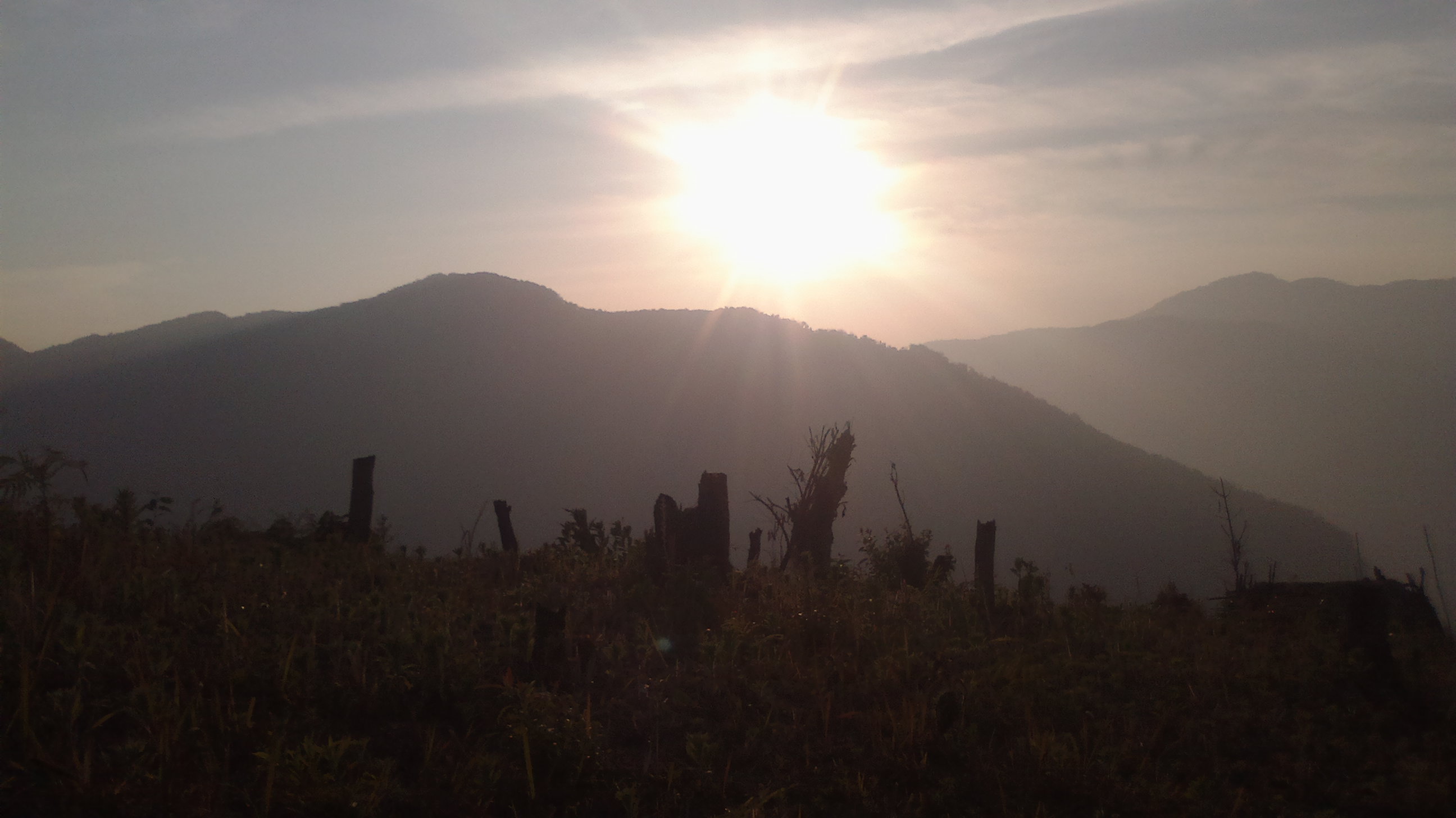
CSP_4715.JPG

CSP_4705.JPG
CSP_4701.JPG
CSP_4717.JPG

CSP_4716.JPG
CSP_4706.JPG
CSP_4712.JPG
CSP_4710.JPG
CSP_4711.JPG
CSP_4709.JPG
CSP_4702.JPG
CSP_4708.JPG
CSP_4714.JPG
CSP_4707.JPG
Dzukou Valley Rest House
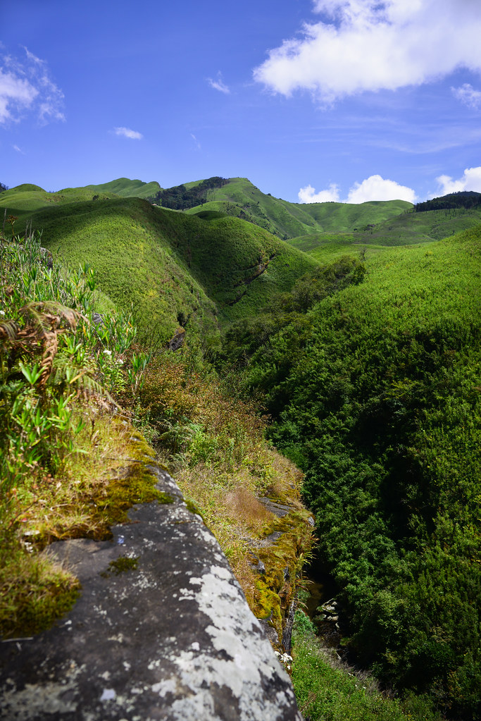
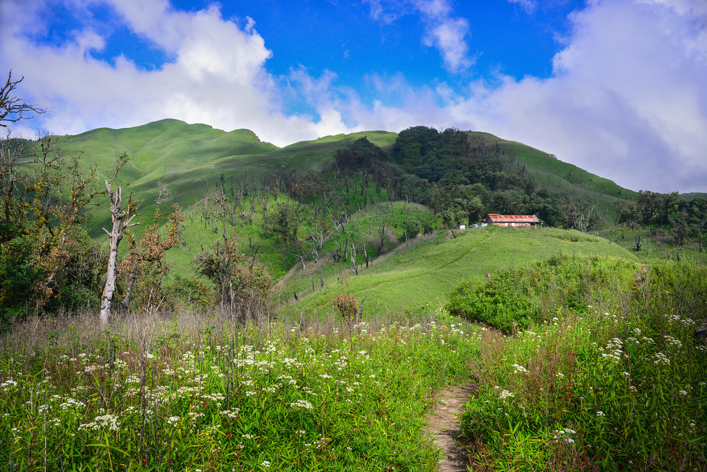
Dzukou Valley
Dzukou Valley
2015-05-06-2447
2015-05-06-2448
CSP_4703.JPG
2015-02-07-2406
2015-02-07-2410

2015-05-06-2456
CSP_4704.JPG
Topographic Map of Sangkunglong, Manipur, India
Find elevation by address:

Places near Sangkunglong, Manipur, India:
Maram Bazar
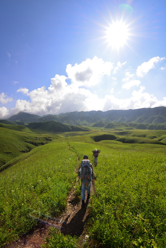
Dzükou Valley Trek
Viswema
Senapati
Kohima
Kohima
Diphu
Karbi Anglong
Sonitpur
Golaghat
Dima Hasao
Golaghat
Assam
Kanchanjuri
Kaziranga National Park
Recent Searches:
- Elevation of Bydgoszcz, Poland
- Elevation of Bydgoszcz, Poland
- Elevation of Calais Dr, Del Mar, CA, USA
- Elevation of Placer Mine Ln, West Jordan, UT, USA
- Elevation of E 63rd St, New York, NY, USA
- Elevation of Elk City, OK, USA
- Elevation of Erika Dr, Windsor, CA, USA
- Elevation of Village Ln, Finleyville, PA, USA
- Elevation of 24 Oakland Rd #, Scotland, ON N0E 1R0, Canada
- Elevation of Deep Gap Farm Rd E, Mill Spring, NC, USA