Elevation map of Senapati, Manipur, India
Location: India > Manipur >
Longitude: 94.1513764
Latitude: 25.3203312
Elevation: 1411m / 4629feet
Barometric Pressure: 85KPa
Elevation Map:
Satellite Map:
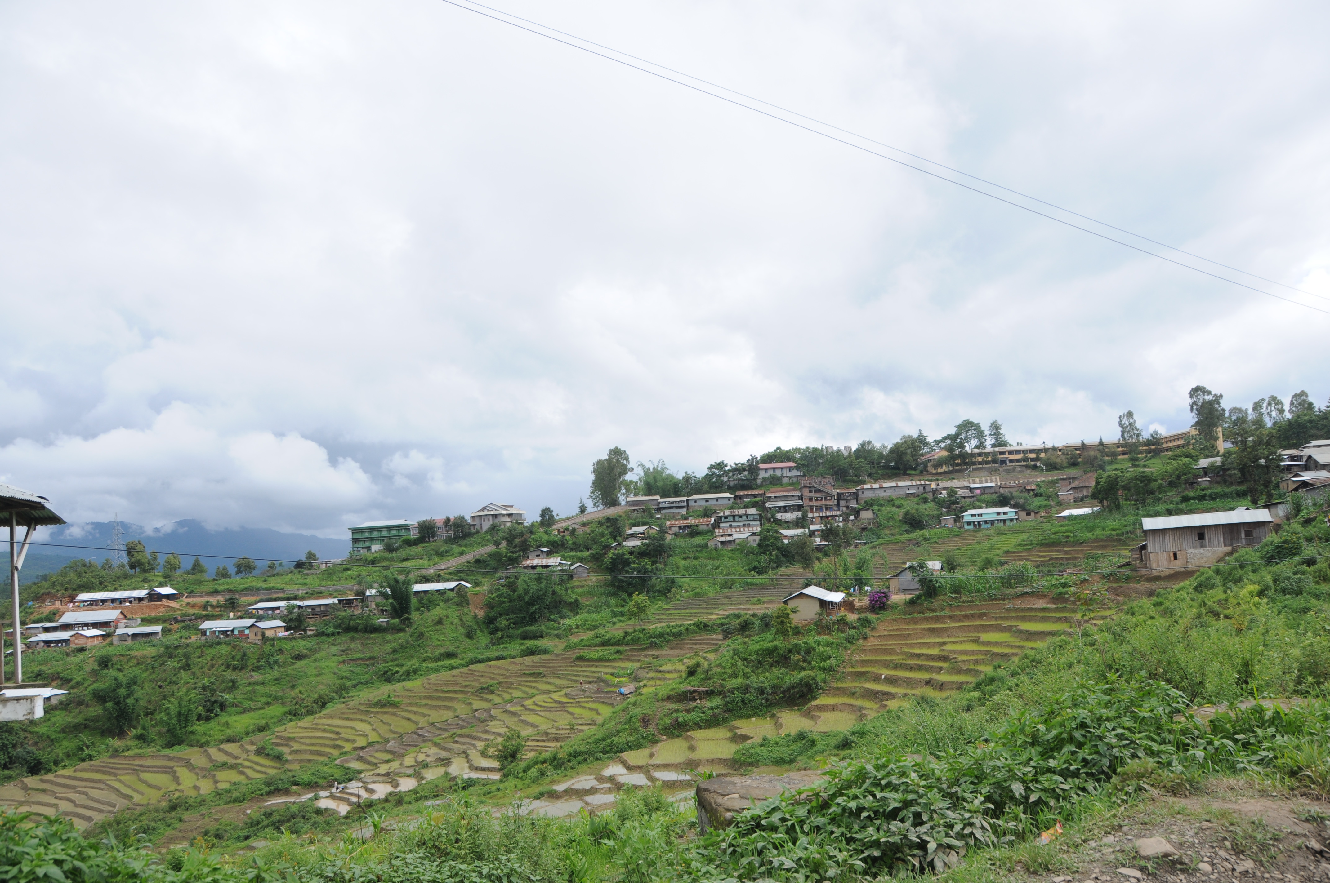
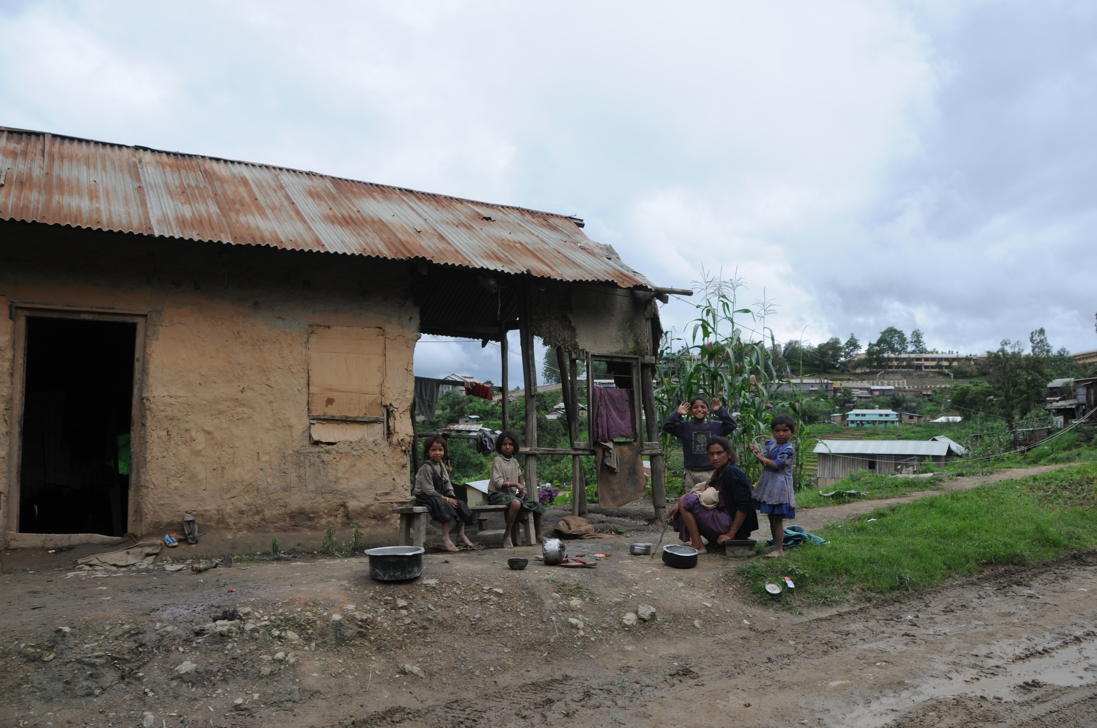
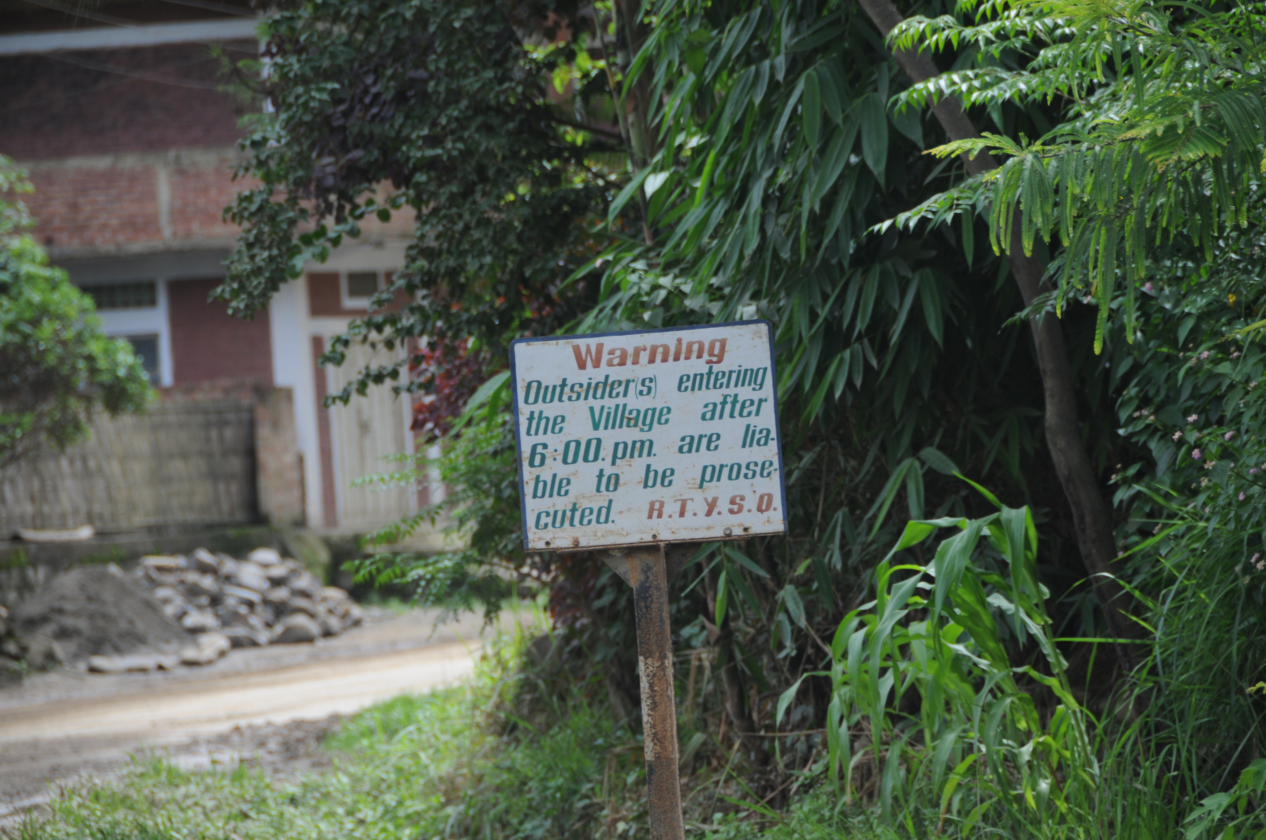
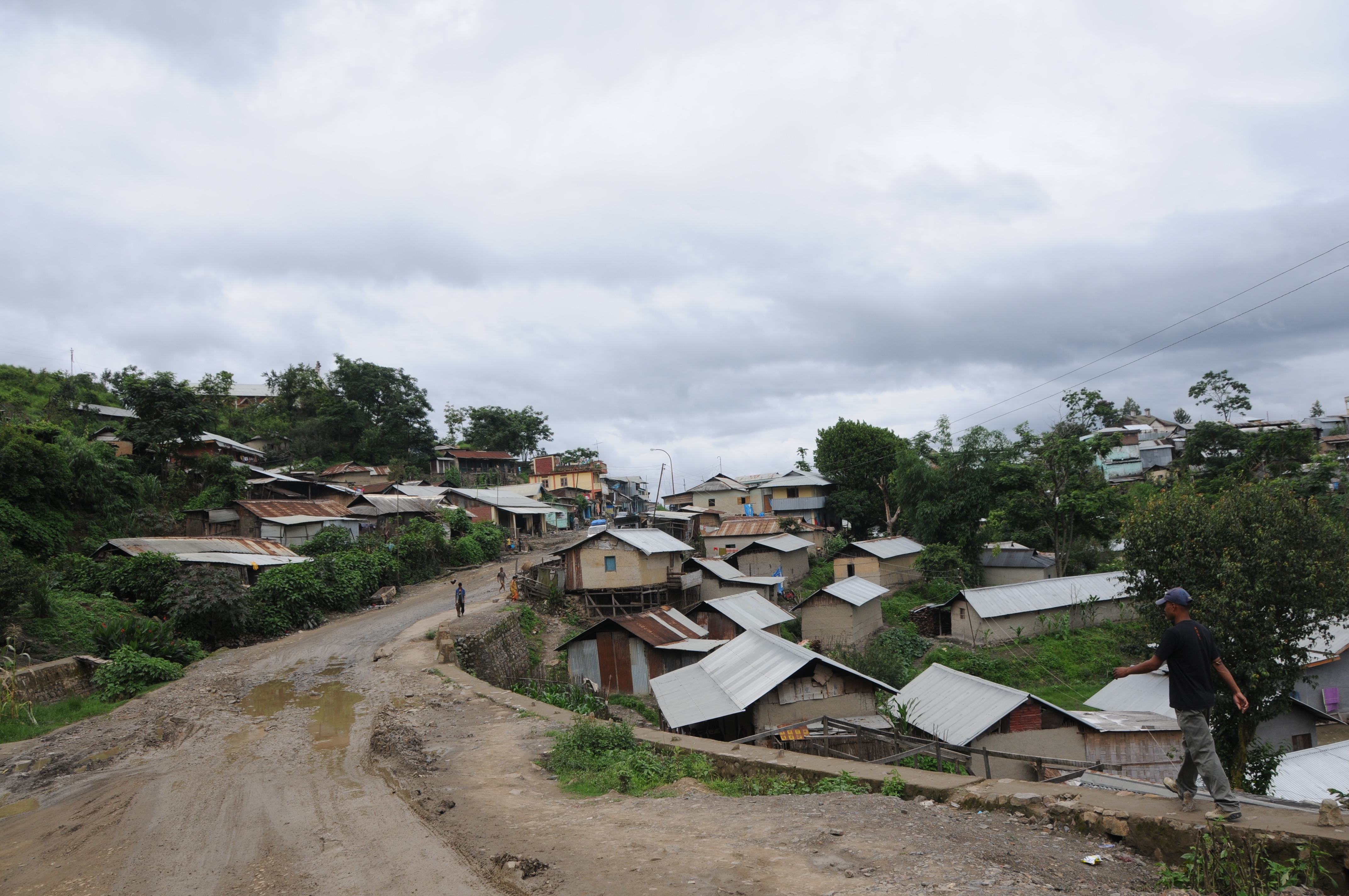
Related Photos:

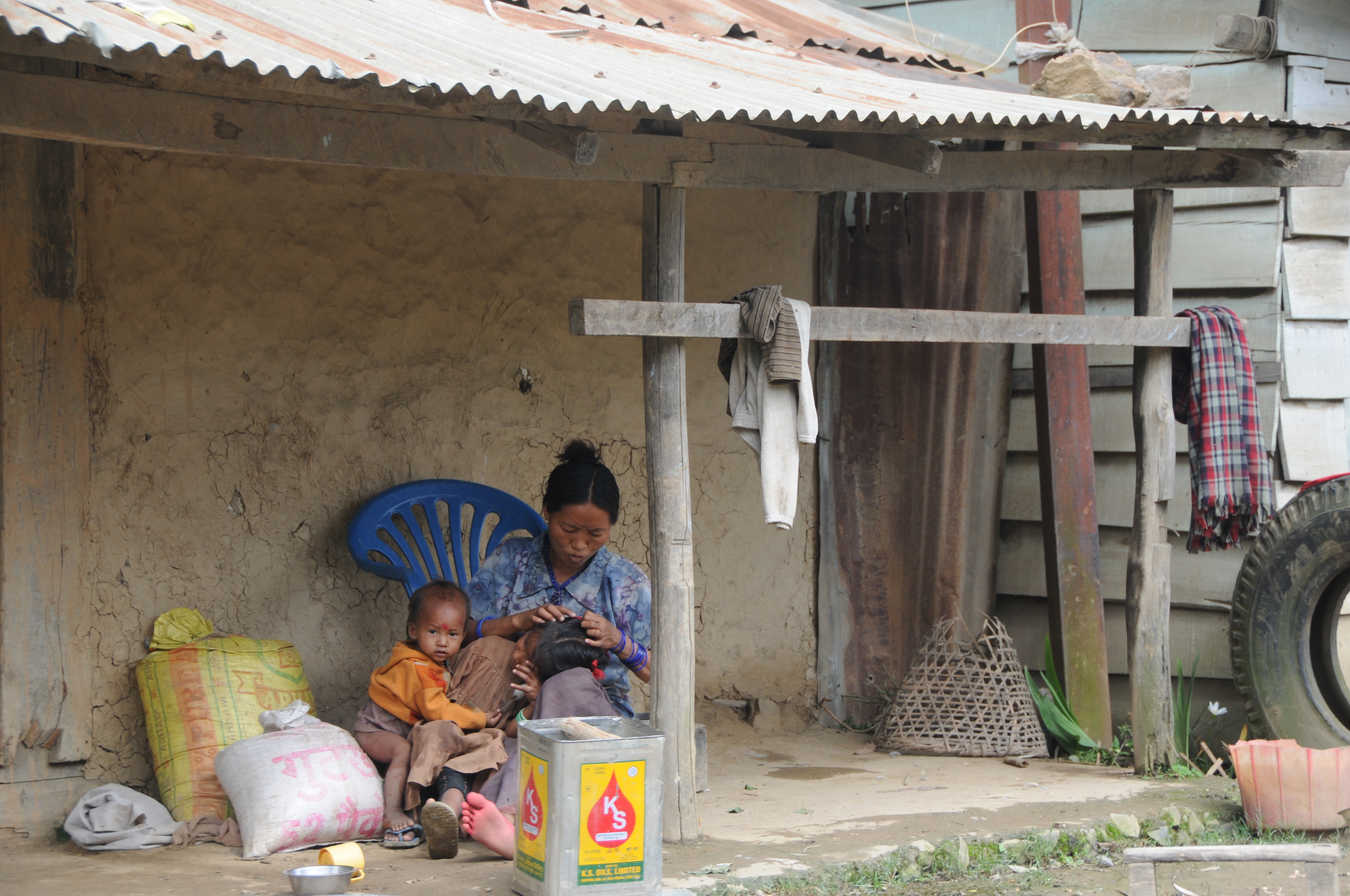
CSP_4701.JPG

CSP_4698.JPG

CSP_4703.JPG

CSP_4704.JPG

CSP_4716.JPG

CSP_4715.JPG

CSP_4702.JPG

CSP_4700.JPG
CSP_4708.JPG
CSP_4707.JPG

CSP_4699.JPG
CSP_4697.JPG

CSP_4711.JPG

CSP_4717.JPG

CSP_4714.JPG
CSP_4712.JPG

CSP_4706.JPG
CSP_4710.JPG

CSP_4705.JPG

CSP_4709.JPG

CSP_4713.JPG
Topographic Map of Senapati, Manipur, India
Find elevation by address:

Places in Senapati, Manipur, India:
Places near Senapati, Manipur, India:
Maram Bazar
Sangkunglong
Viswema
Dzükou Valley Trek
Kohima
Kohima
Diphu
Sonitpur
Golaghat
Karbi Anglong
Dima Hasao
Golaghat
Assam
Kanchanjuri
Kaziranga National Park
Recent Searches:
- Elevation of Dog Leg Dr, Minden, NV, USA
- Elevation of Dog Leg Dr, Minden, NV, USA
- Elevation of Kambingan Sa Pansol Atbp., Purok 7 Pansol, Candaba, Pampanga, Philippines
- Elevation of Pinewood Dr, New Bern, NC, USA
- Elevation of Mountain View, CA, USA
- Elevation of Foligno, Province of Perugia, Italy
- Elevation of Blauwestad, Netherlands
- Elevation of Bella Terra Blvd, Estero, FL, USA
- Elevation of Estates Loop, Priest River, ID, USA
- Elevation of Woodland Oak Pl, Thousand Oaks, CA, USA