Elevation of Diphu, Assam, India
Location: India > Assam > Karbi Anglong >
Longitude: 93.4298746
Latitude: 25.846525
Elevation: 197m / 646feet
Barometric Pressure: 99KPa
Elevation Map:
Satellite Map:
Related Photos:
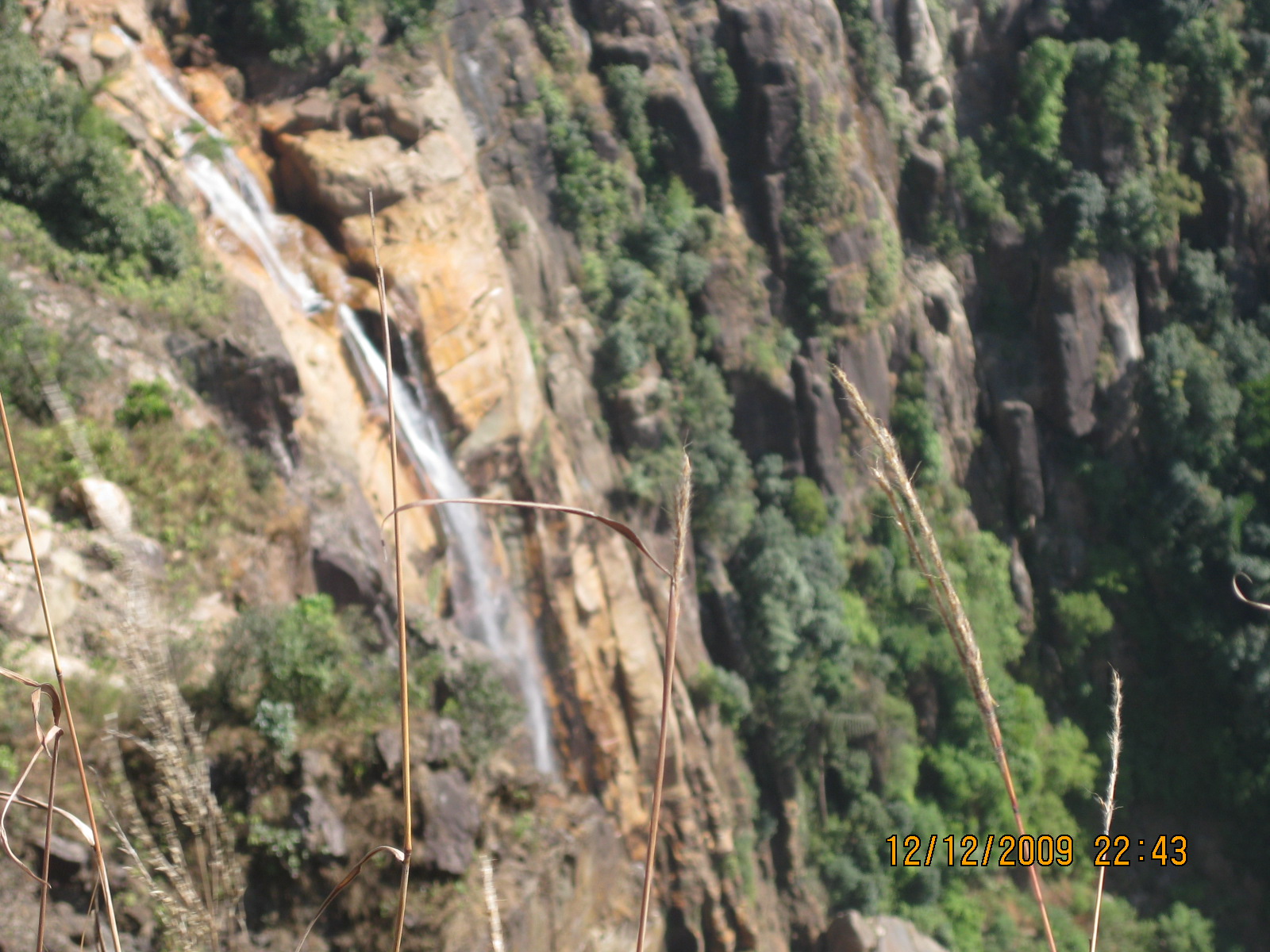
IMG_1423
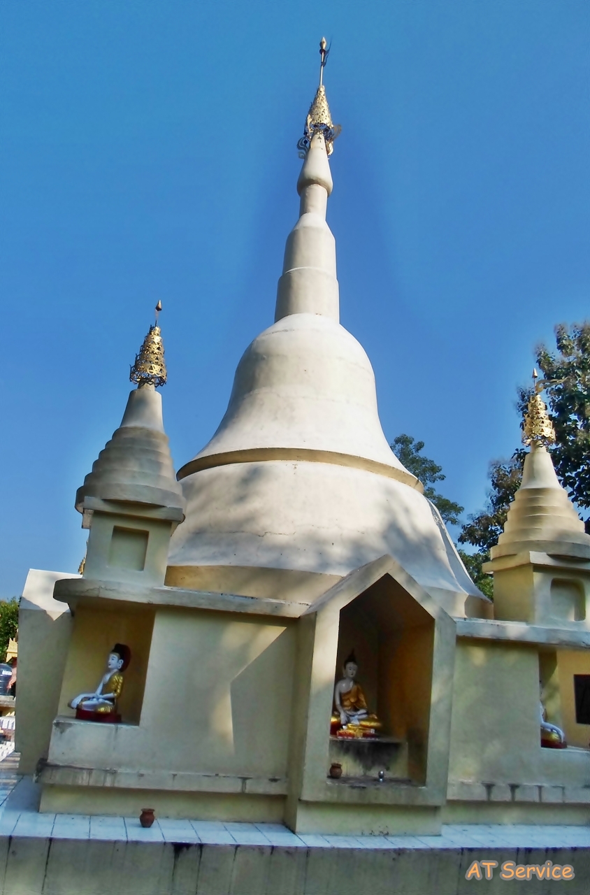
Buddhist Temple Manja.
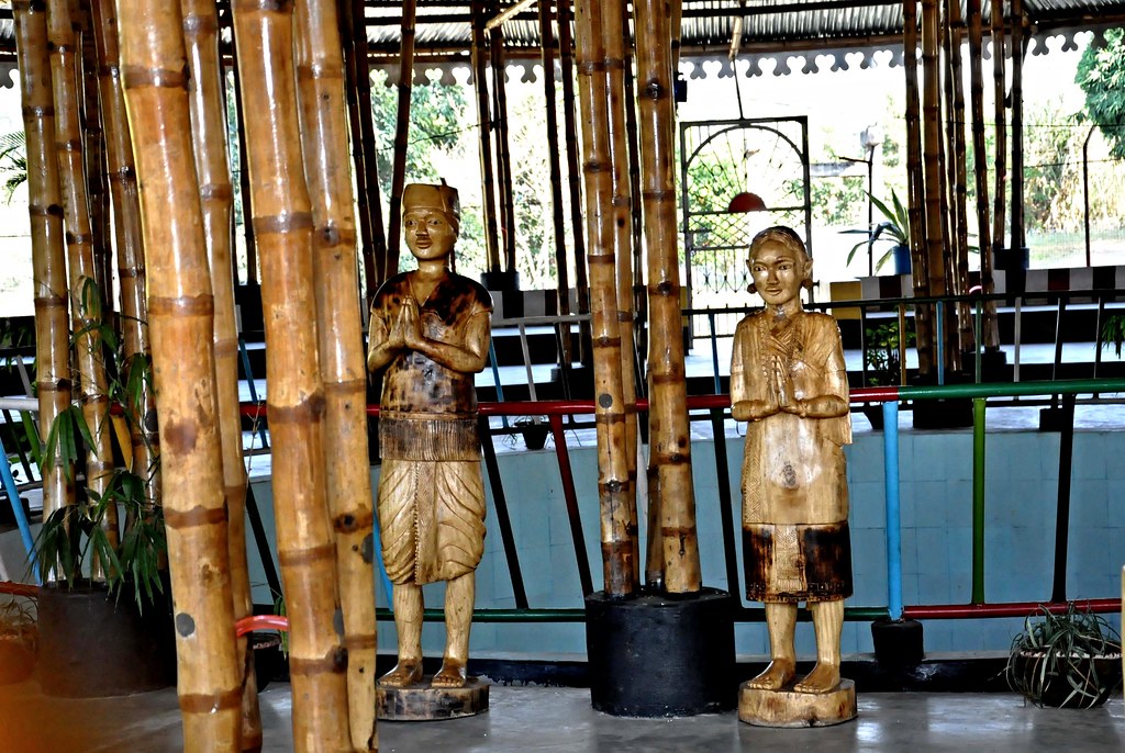
Statue-DSC_2658
Serdihun Akormandu, Diphu.
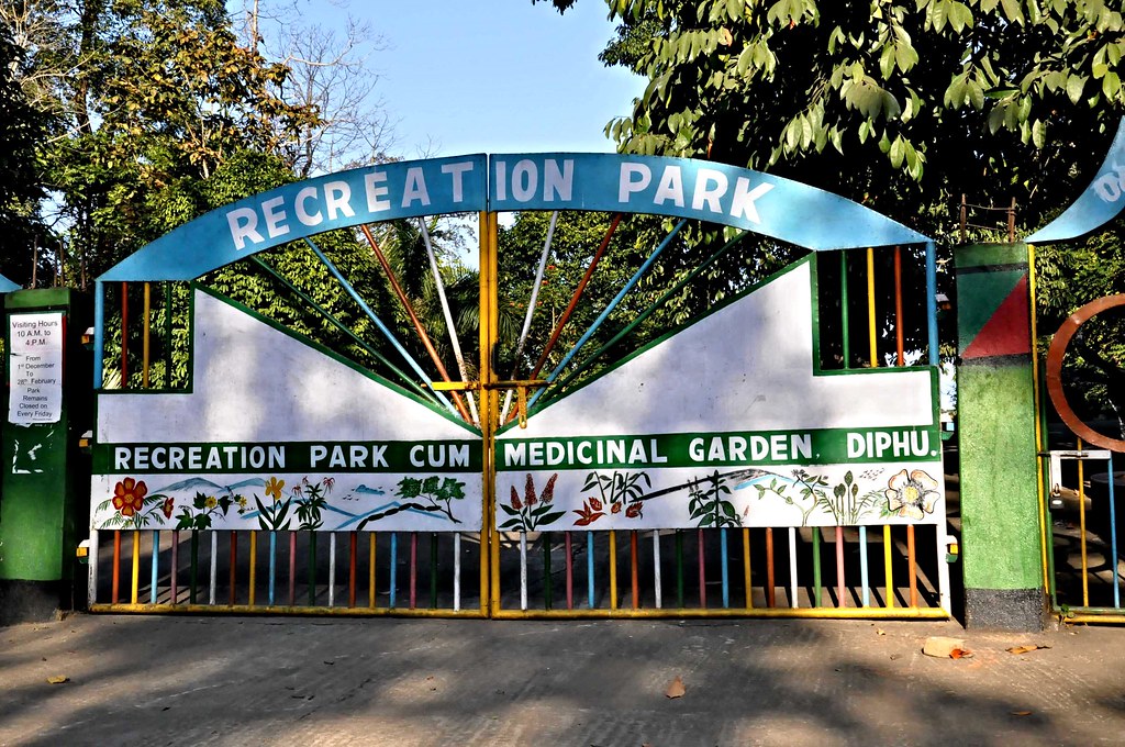
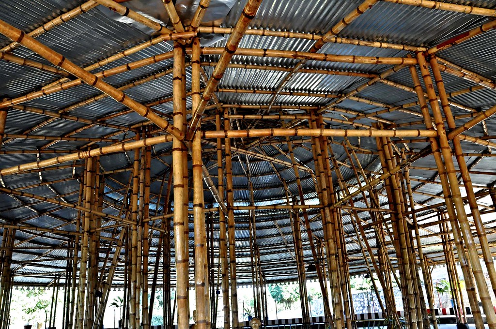
Recreation Park, Diphu
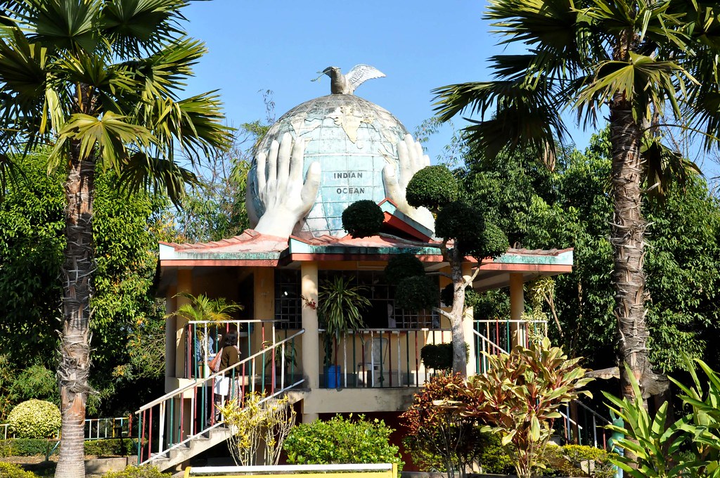
The hands that hold the world.

Jiten's frns

Jiten's frns
Topographic Map of Diphu, Assam, India
Find elevation by address:

Places near Diphu, Assam, India:
Karbi Anglong
Assam
Dima Hasao
Sangkunglong
Kohima
Kohima
Dzükou Valley Trek
Viswema
Sonitpur
Kanchanjuri
Kaziranga National Park
Maram Bazar
Golaghat
Golaghat
Senapati
Recent Searches:
- Elevation of Bydgoszcz, Poland
- Elevation of Bydgoszcz, Poland
- Elevation of Calais Dr, Del Mar, CA, USA
- Elevation of Placer Mine Ln, West Jordan, UT, USA
- Elevation of E 63rd St, New York, NY, USA
- Elevation of Elk City, OK, USA
- Elevation of Erika Dr, Windsor, CA, USA
- Elevation of Village Ln, Finleyville, PA, USA
- Elevation of 24 Oakland Rd #, Scotland, ON N0E 1R0, Canada
- Elevation of Deep Gap Farm Rd E, Mill Spring, NC, USA