Elevation of Sandy Blvd, Centralia, WA, USA
Location: United States > Washington > Lewis County > Centralia >
Longitude: -123.02630
Latitude: 46.725323
Elevation: 111m / 364feet
Barometric Pressure: 100KPa
Elevation Map:
Satellite Map:
Related Photos:

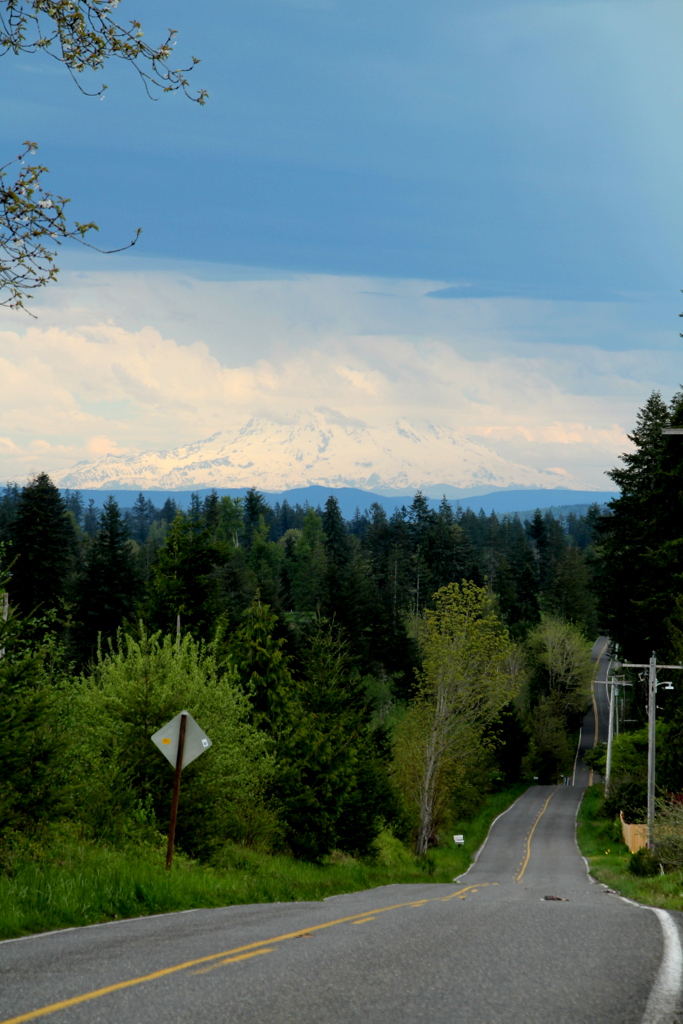
Aerial view of I-5 in Chehalis

Aerial view of I-5 in Chehalis

Governor Gregoire
Grey Highway

a2001-15-04

Empire of Liberty: A History of the Early Republic, 1789-1815, by Gordon S. Wood

Mirror view, I-5 Southbound

Western Wood-Pewee

Snow and rain

a2003-14-31

IMG_6349 Northern Shrike - Lanius excubitor
Noisy Hayride
Lagger's Eye View

The Mummy Lives!
fan view

DSCN1621.JPG

DSCN1625.JPG

DSCN1622.JPG

DSCN1624.JPG

IMG_9944 Common Ravens
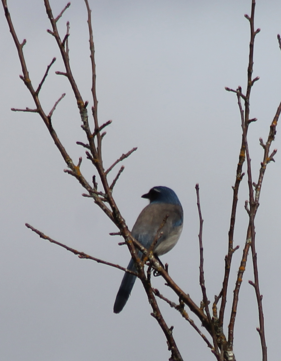
IMG_9968 Western Scrub Jay - Aphelocoma californica immanis

River Bridge
Opened the back gate at work to see this.

Poplar Tree Plantation
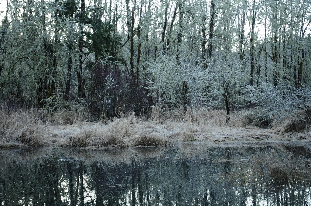
Winter Pond at Sunrise
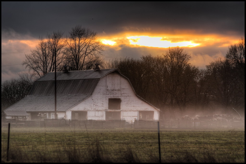
mist and barn

Winter Grass
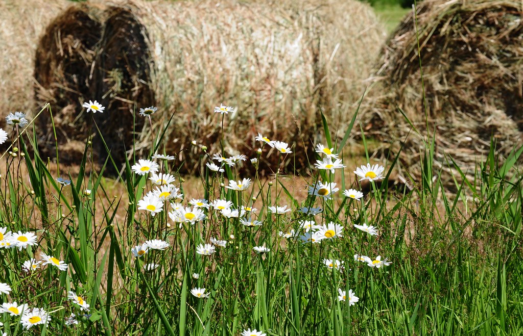
Daisies and Hay

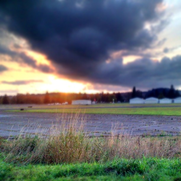
Lovely sunset yesterday.

zoom cow

Disappearing Dozer

a poplar place to be

Poplar Tree Plantation, Lewis County, Washington, 2015

Our Dog Halle
#DeepCreekRoad
Across the Way - Project 365, Day 26
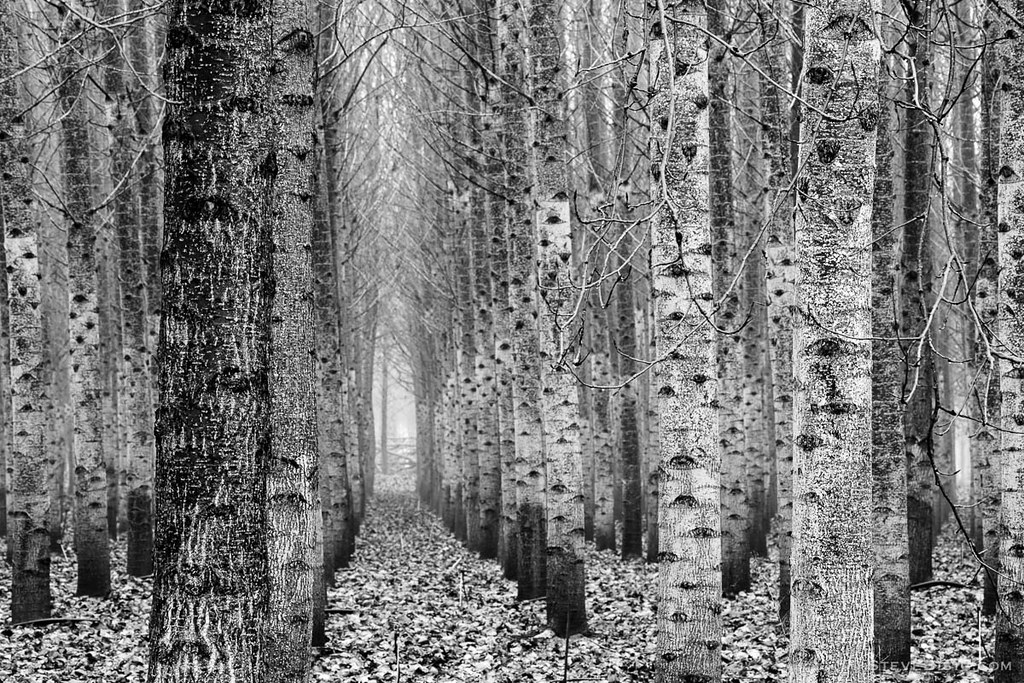
Poplar Tree Plantation, Lewis County, Washington, 2015

Seminary Hill II

Chehalis River

07-20-2011 Flowers in Front Yard (13) (Large)
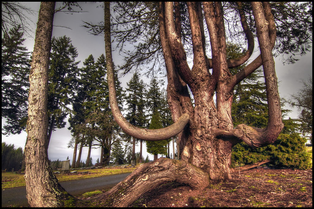
squid-tree
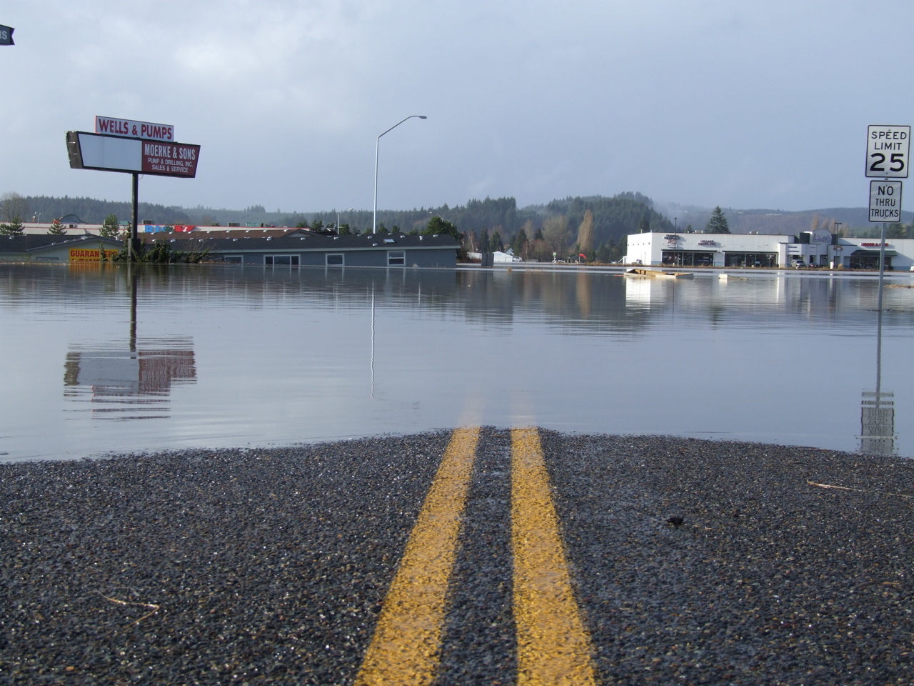
Road Closed
Topographic Map of Sandy Blvd, Centralia, WA, USA
Find elevation by address:

Places near Sandy Blvd, Centralia, WA, USA:
3810 Cooks Hill Rd
264 River Heights Rd
3324 Cooks Hill Rd
272 Blanchard Rd
1020 Swanson Dr
288 Lincoln Creek Rd
358 Lincoln Creek Rd
1304 Greenwood Ln
3110 Borst Ave
3030 Borst Ave
2064 Cooks Hill Rd
2455 Borst Ave
1907 Shamrock Dr
1709 Shamrock Dr
1402 W Roanoke St
151 Davis Hill Rd
1301 N Washington Ave
512 W Cherry St
400 W Summa St
1601 Nw Louisiana Ave
Recent Searches:
- Elevation of Dog Leg Dr, Minden, NV, USA
- Elevation of Dog Leg Dr, Minden, NV, USA
- Elevation of Kambingan Sa Pansol Atbp., Purok 7 Pansol, Candaba, Pampanga, Philippines
- Elevation of Pinewood Dr, New Bern, NC, USA
- Elevation of Mountain View, CA, USA
- Elevation of Foligno, Province of Perugia, Italy
- Elevation of Blauwestad, Netherlands
- Elevation of Bella Terra Blvd, Estero, FL, USA
- Elevation of Estates Loop, Priest River, ID, USA
- Elevation of Woodland Oak Pl, Thousand Oaks, CA, USA