Elevation of W Summa St, Centralia, WA, USA
Location: United States > Washington > Lewis County > Centralia >
Longitude: -122.96319
Latitude: 46.705678
Elevation: 56m / 184feet
Barometric Pressure: 101KPa
Elevation Map:
Satellite Map:
Related Photos:

a2001-15-04

Aerial view of I-5 in Chehalis

Mirror view, I-5 Southbound

Aerial view of I-5 in Chehalis

Snow and rain

a2003-14-31

Governor Gregoire

IMG_1103 Female Brewers Blackbird
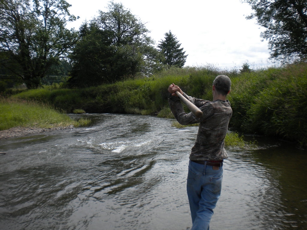
Fly Ball.... er.... Rock....

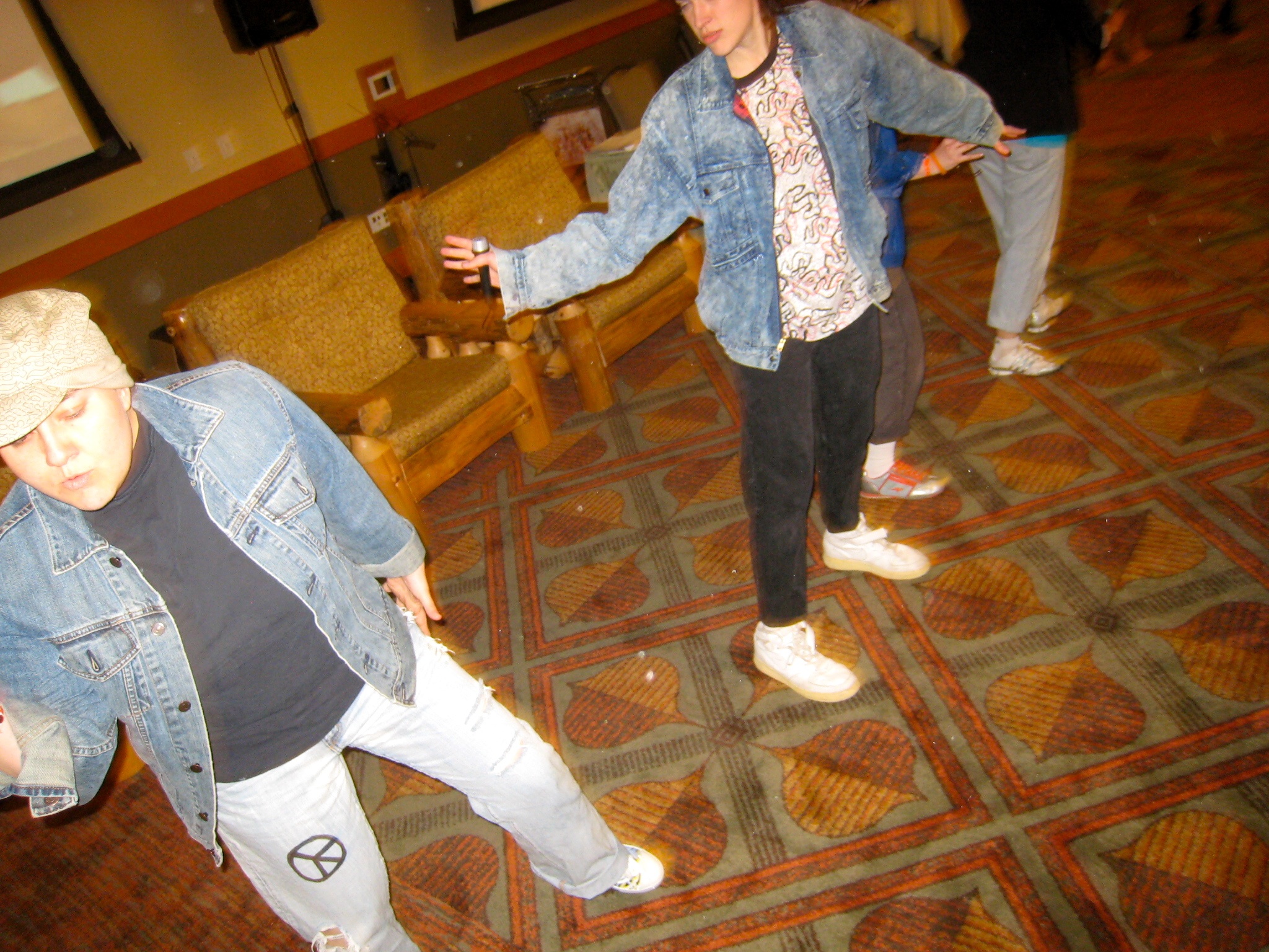
The Mummy Lives!
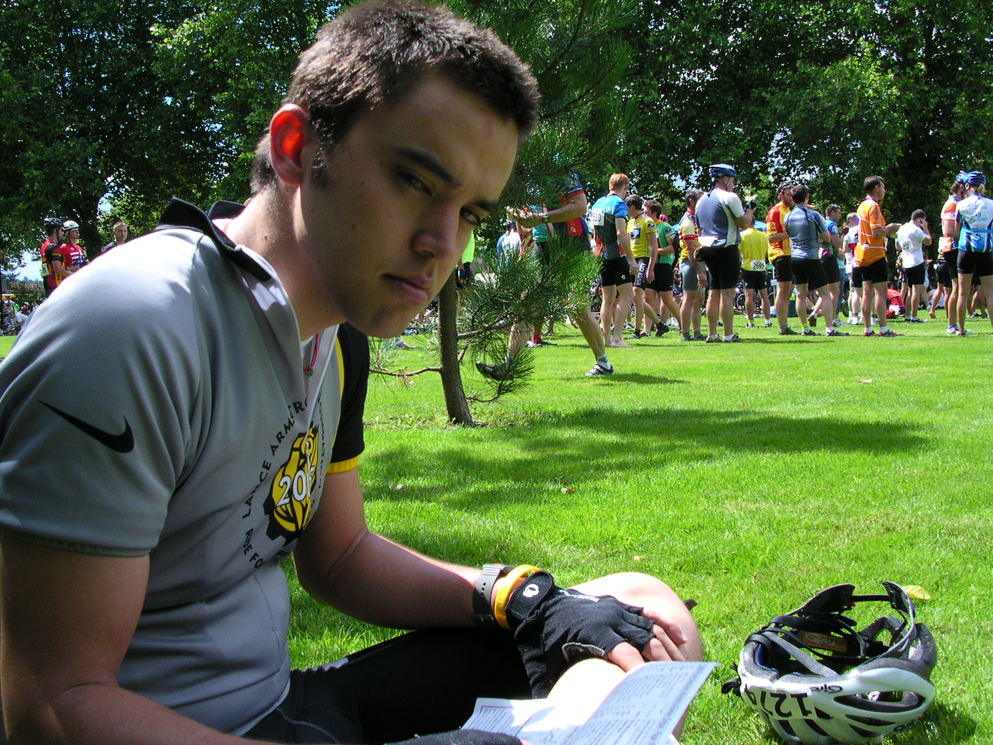
fan view

DSCN1621.JPG
DSCN1625.JPG

DSCN1622.JPG

DSCN1624.JPG

IMG_1055 Western Wood Pewee
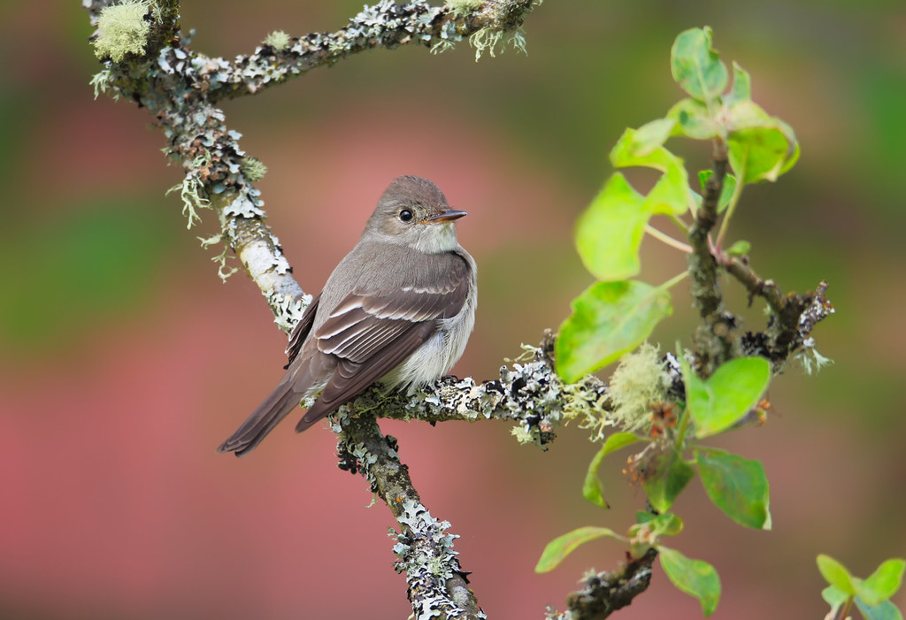
Western Wood-Pewee
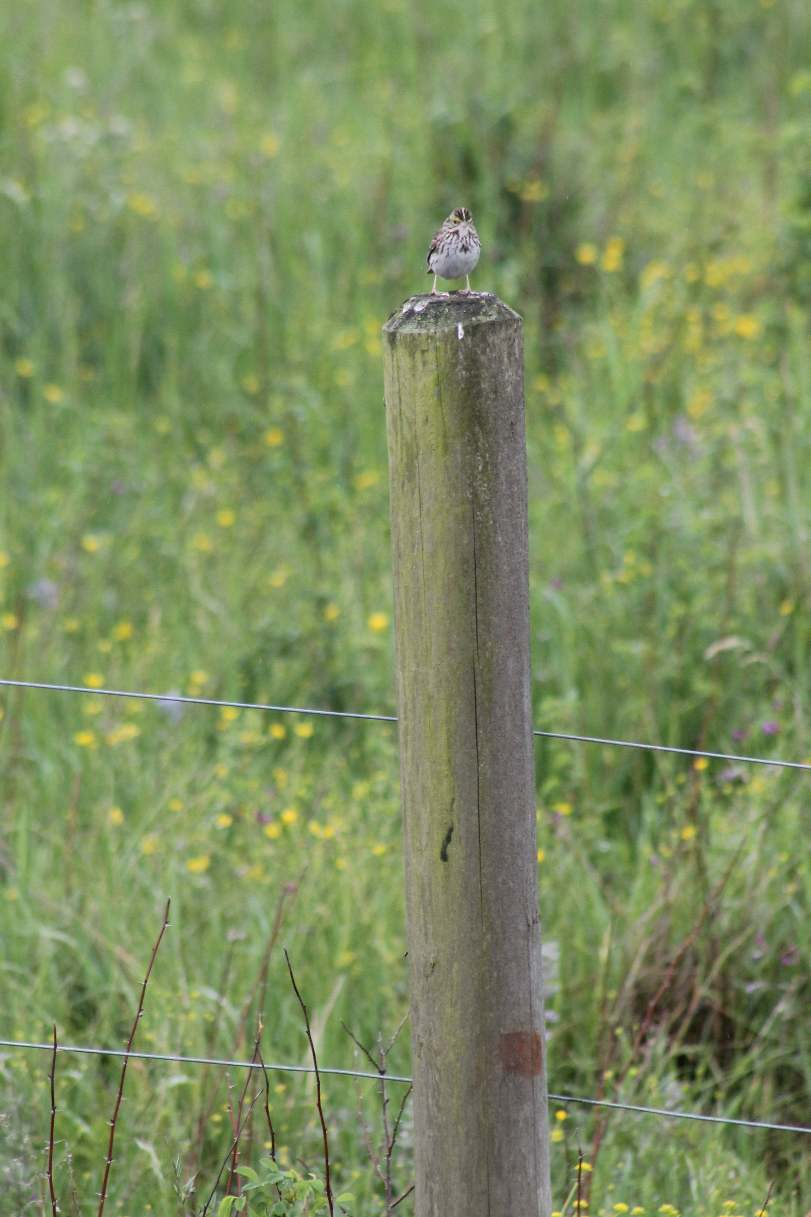
IMG_1050 Savannah Sparrow
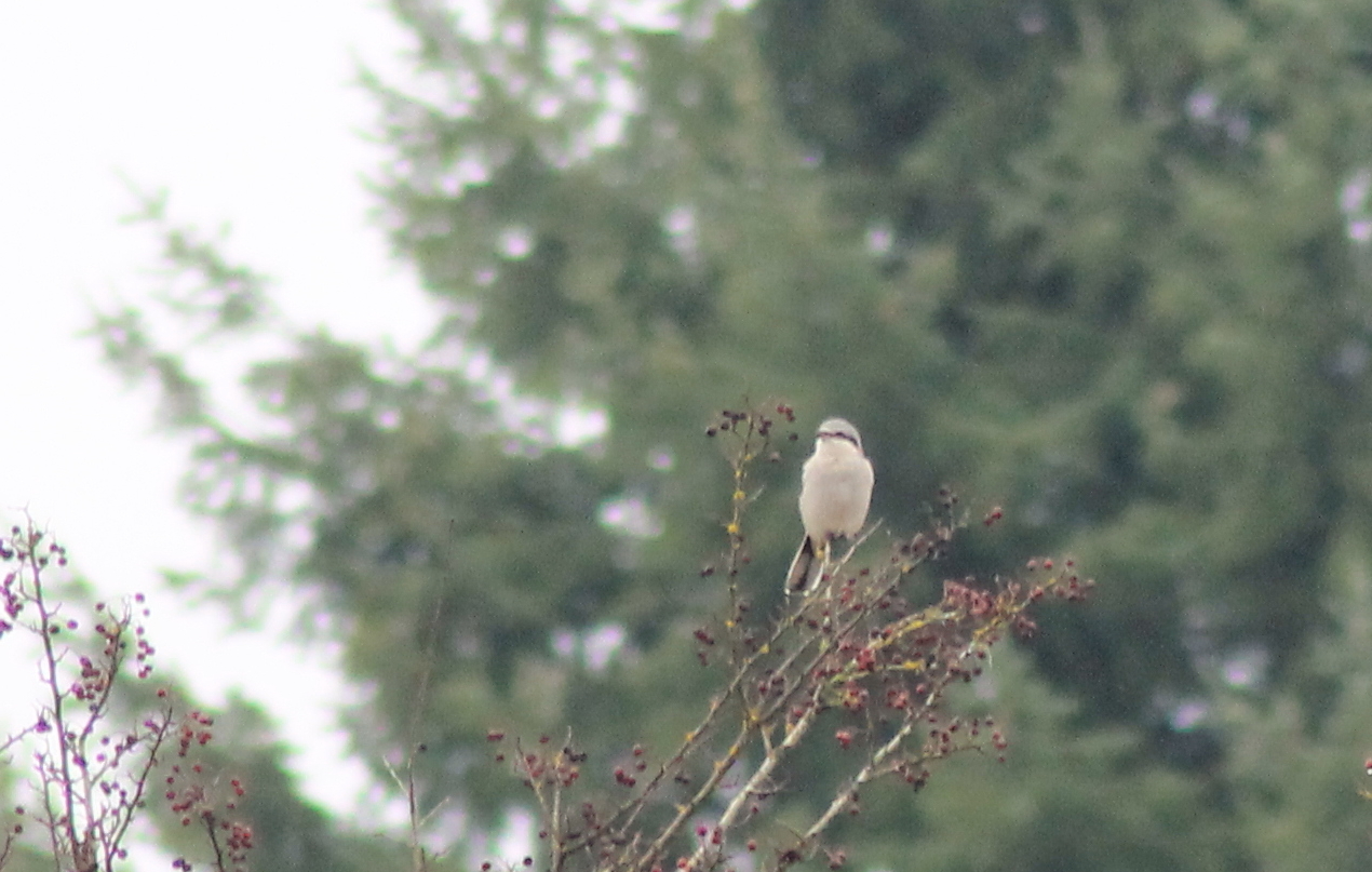
IMG_6349 Northern Shrike - Lanius excubitor
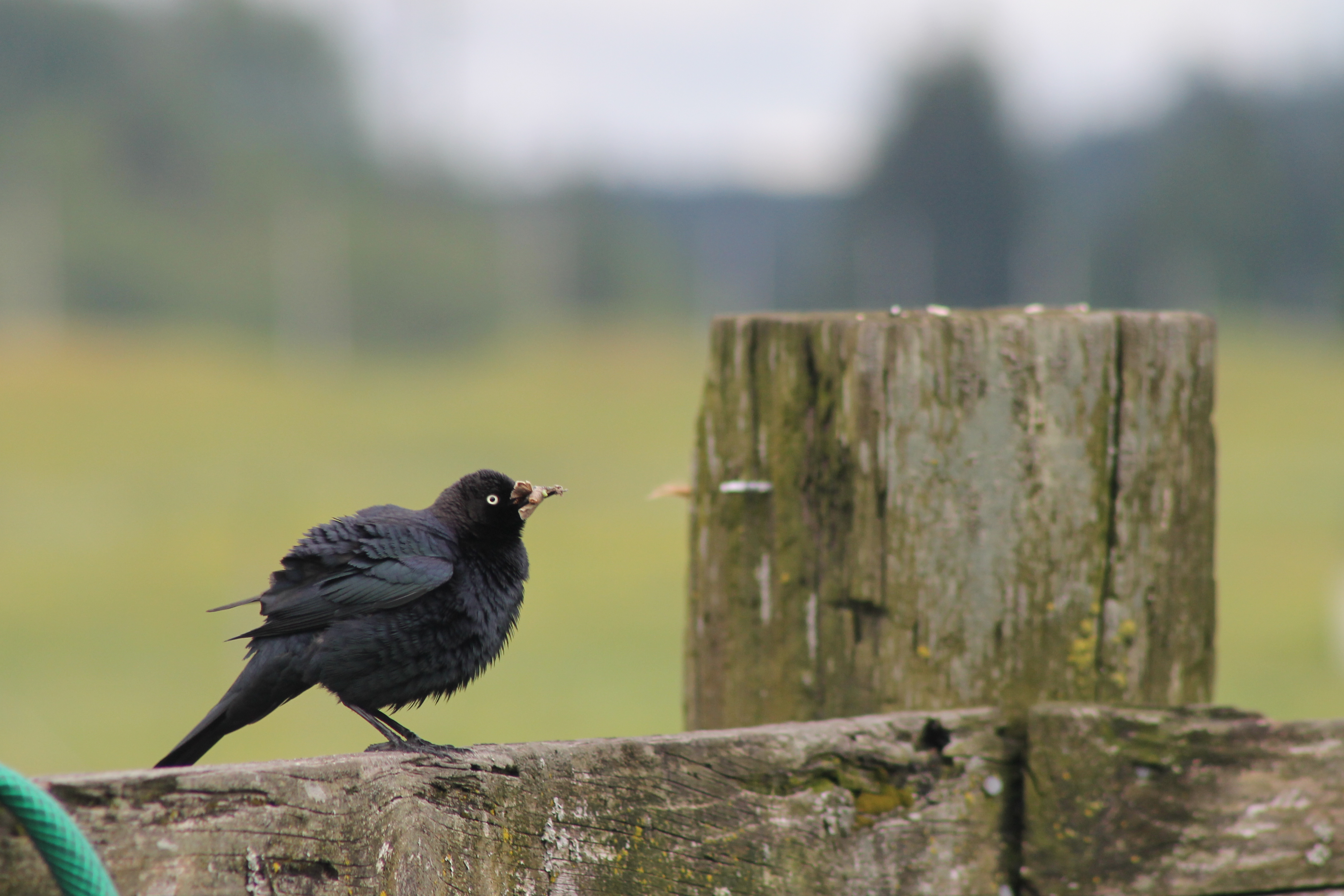
IMG_1096 Male Brewers Blackbird

IMG_1022 Violet-Green Swallow
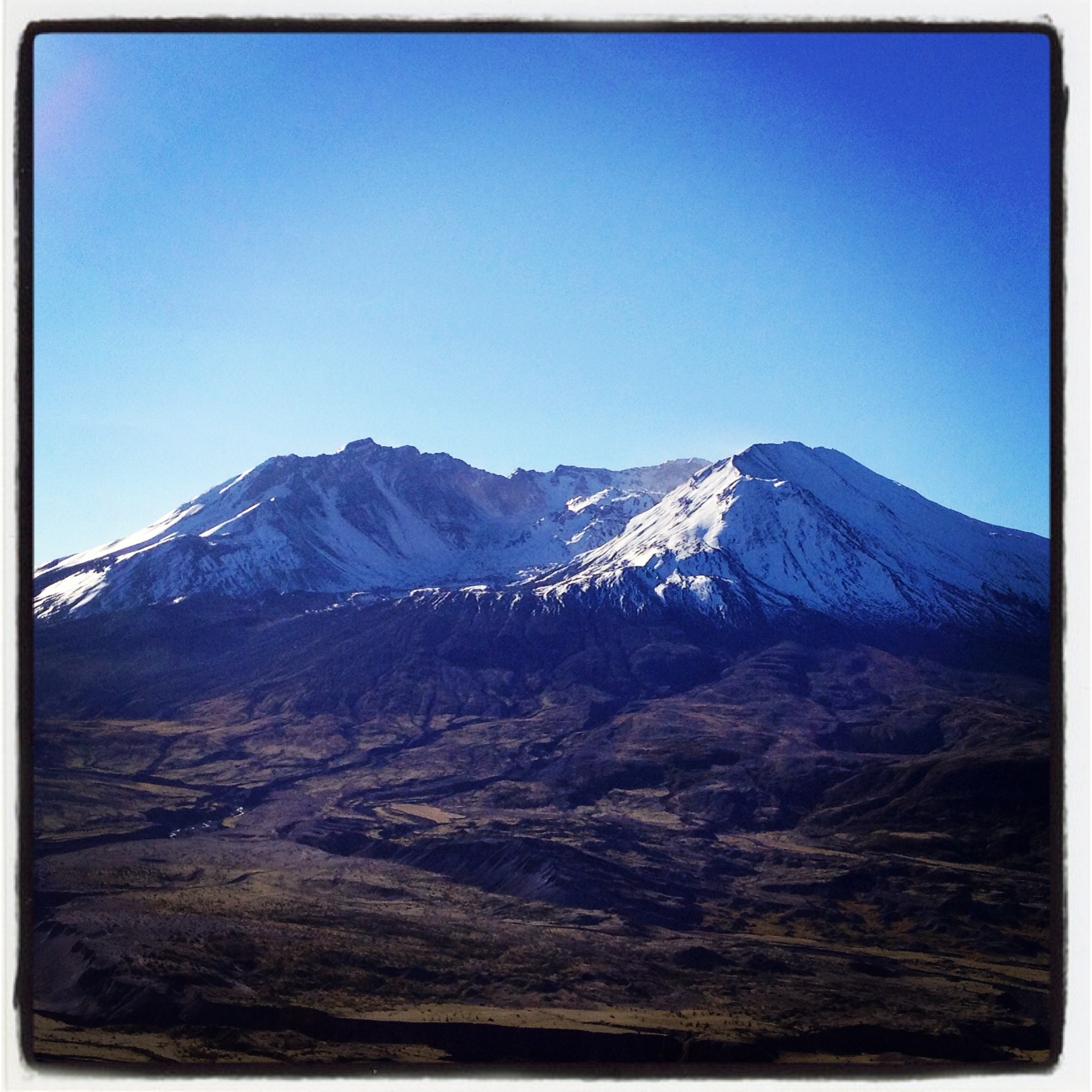
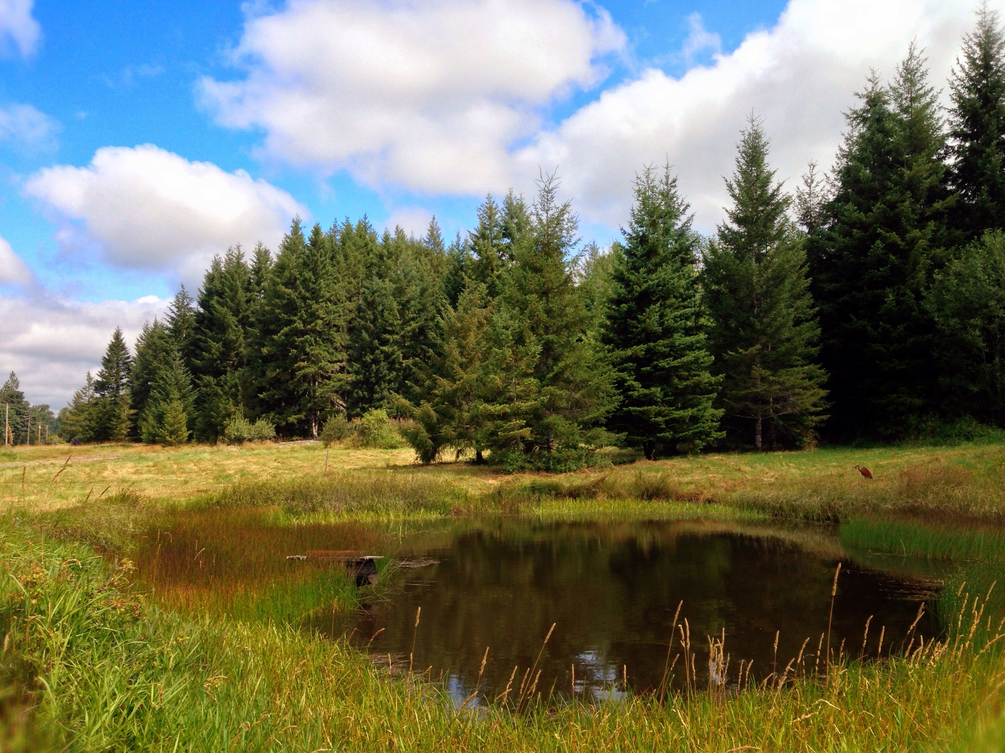
Coldwater Lake hike
Opened the back gate at work to see this.

Poplar Tree Plantation
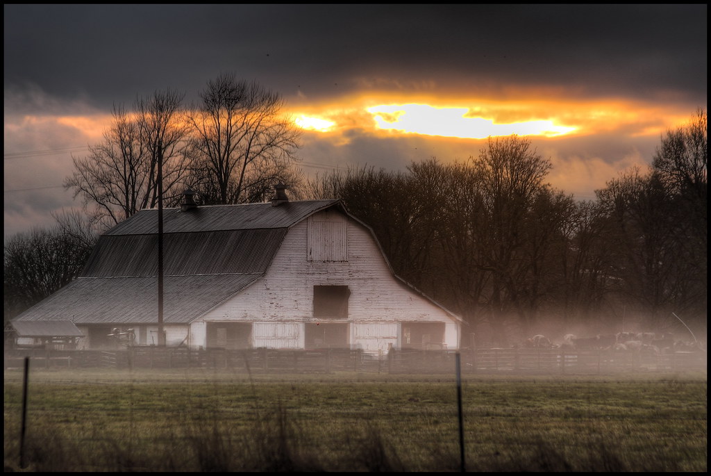
mist and barn

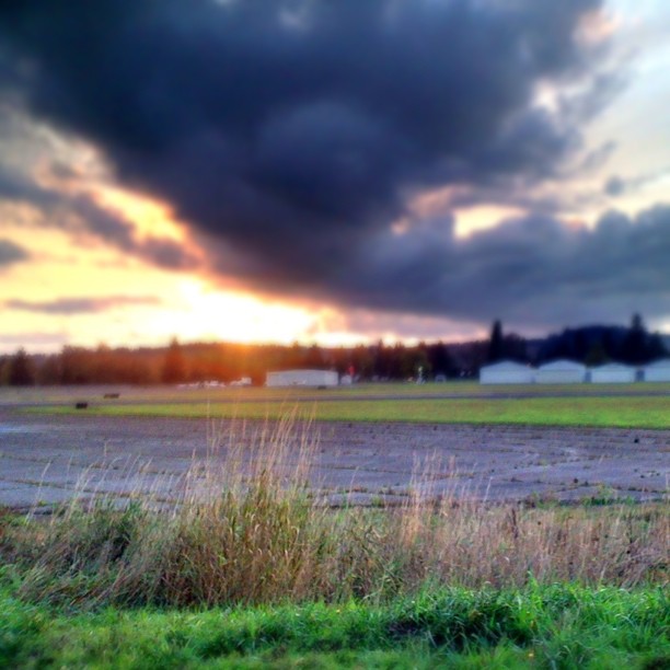
Lovely sunset yesterday.

a poplar place to be
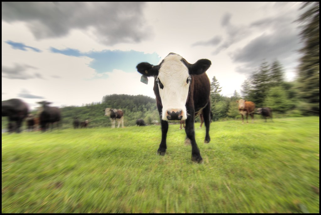
zoom cow
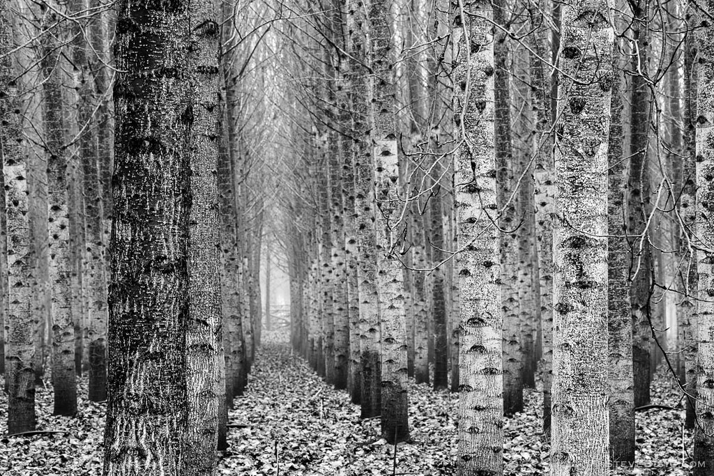
Poplar Tree Plantation, Lewis County, Washington, 2015

Poplar Tree Plantation, Lewis County, Washington, 2015
#DeepCreekRoad

Our Dog Halle

Chehalis River

Seminary Hill II
#PartlyCloudy
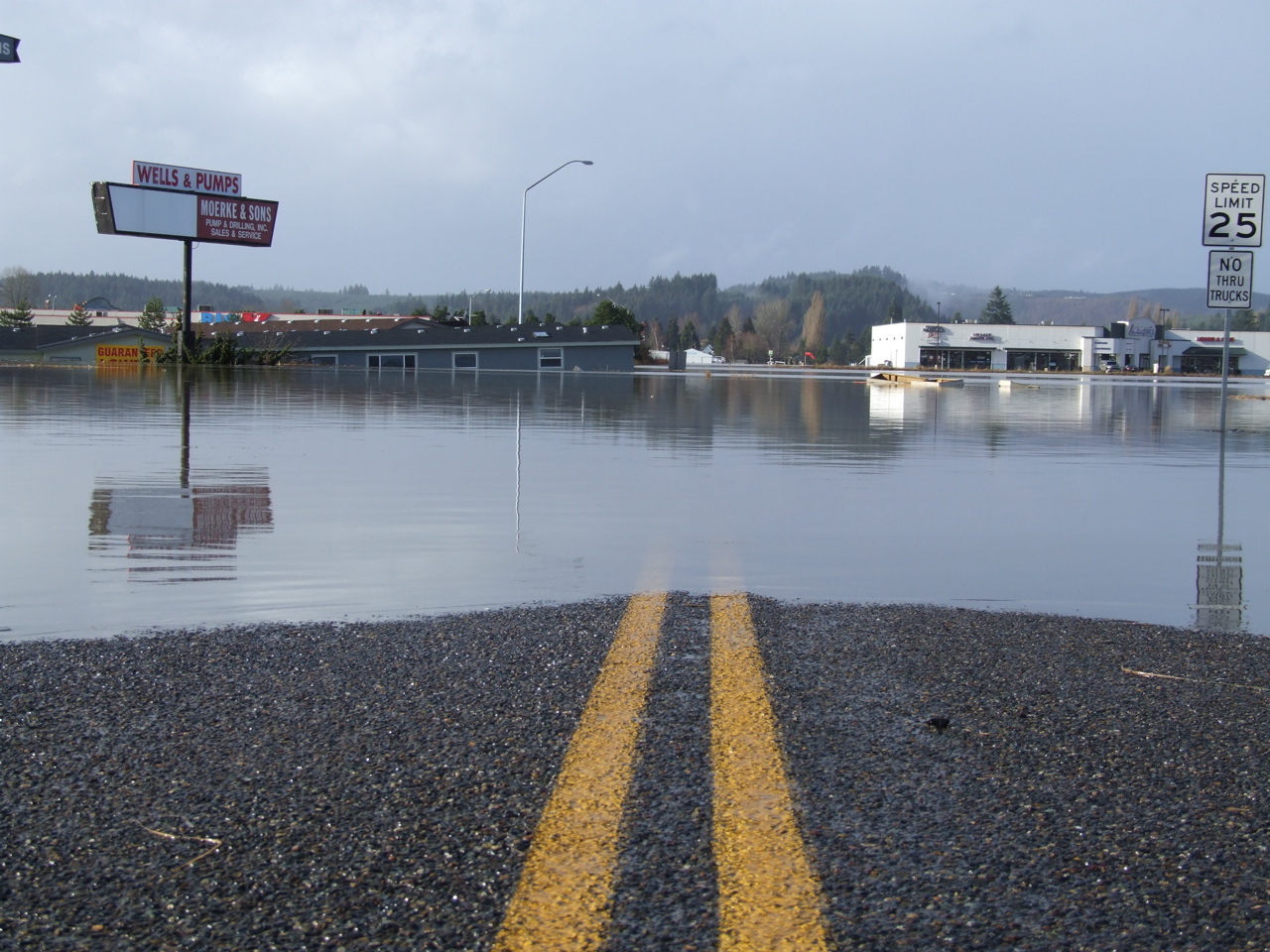
Road Closed
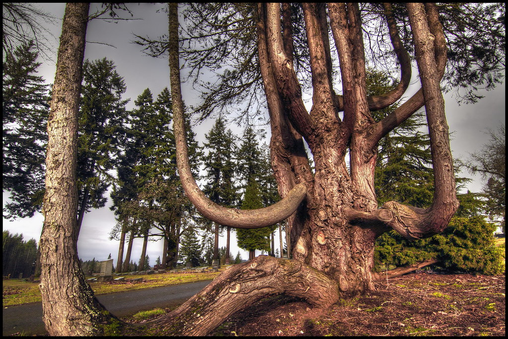
squid-tree

Barn and Silo, Adna, Washington, 2015

Chehalis River

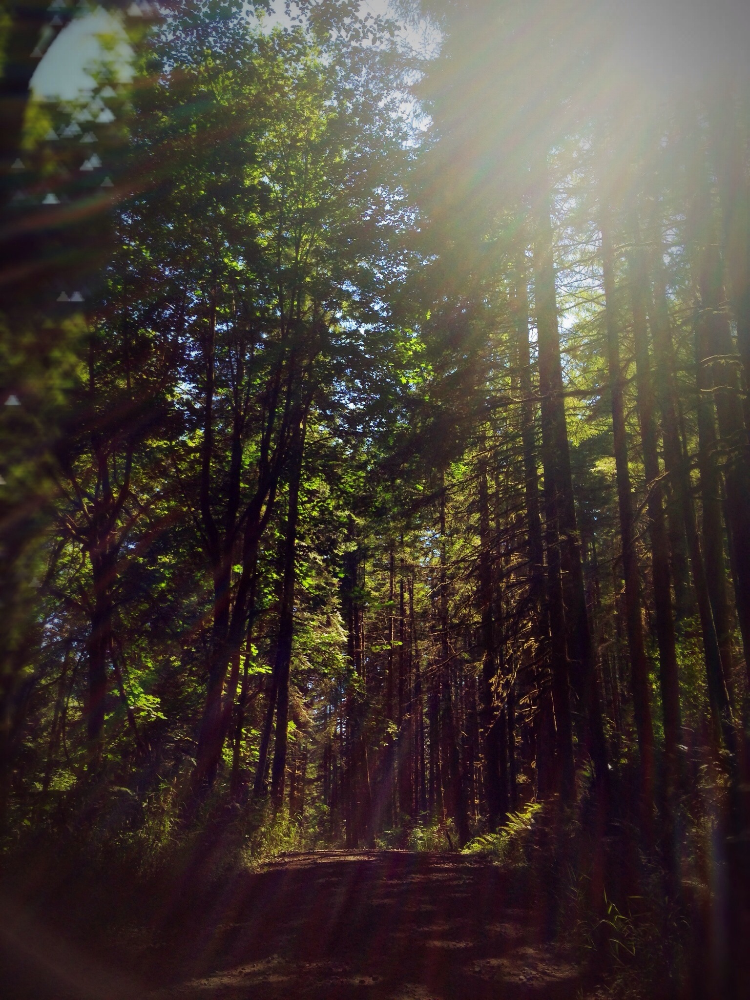
#forrest
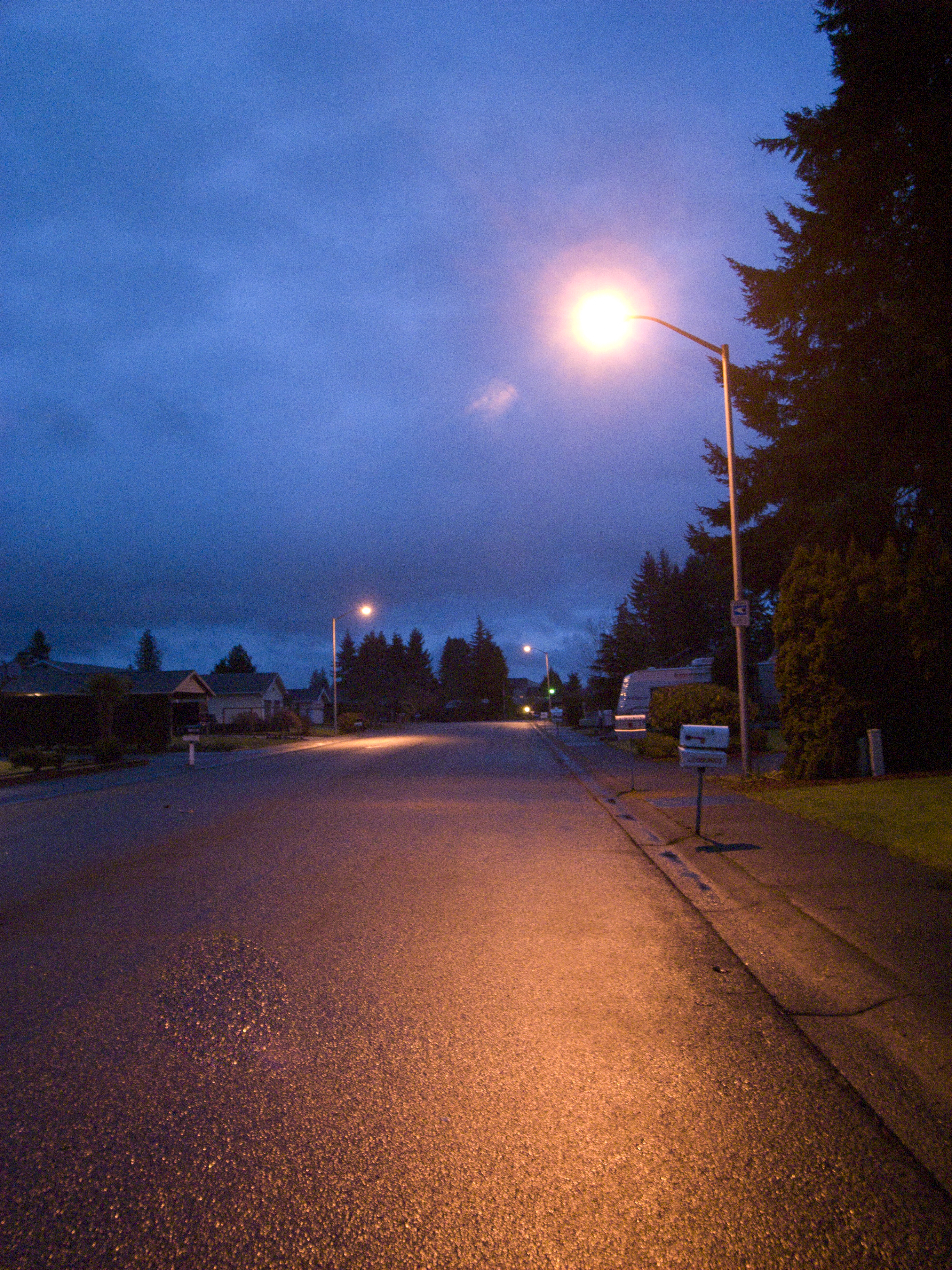
Street light of my daily life

Horseshoe Bend
Topographic Map of W Summa St, Centralia, WA, USA
Find elevation by address:

Places near W Summa St, Centralia, WA, USA:
512 W Cherry St
1437 Lois Ln
112 N Oak St
Centralia
510 E Locust St
104 S Green St
106 N Green St
North Green Street
1709 Shamrock Dr
105 N Baker St
North Baker Street
605 Byrd St
1907 Shamrock Dr
1217 H St
1301 N Washington Ave
2064 Cooks Hill Rd
2455 Borst Ave
1601 Nw Louisiana Ave
Trim Shop
1402 W Roanoke St
Recent Searches:
- Elevation of Warwick, RI, USA
- Elevation of Fern Rd, Whitmore, CA, USA
- Elevation of 62 Abbey St, Marshfield, MA, USA
- Elevation of Fernwood, Bradenton, FL, USA
- Elevation of Felindre, Swansea SA5 7LU, UK
- Elevation of Leyte Industrial Development Estate, Isabel, Leyte, Philippines
- Elevation of W Granada St, Tampa, FL, USA
- Elevation of Pykes Down, Ivybridge PL21 0BY, UK
- Elevation of Jalan Senandin, Lutong, Miri, Sarawak, Malaysia
- Elevation of Bilohirs'k