Elevation of N Baker St, Centralia, WA, USA
Location: United States > Washington > Lewis County > Centralia >
Longitude: -122.94394
Latitude: 46.7143785
Elevation: 108m / 354feet
Barometric Pressure: 100KPa
Elevation Map:
Satellite Map:
Related Photos:
I'm on my way to Seattle stopped here for my lunch

Aerial view of I-5 in Chehalis
Tenino WWTP, bioreactor tankage
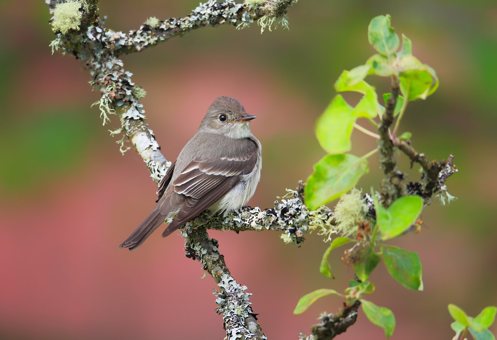
Western Wood-Pewee

Snow and rain
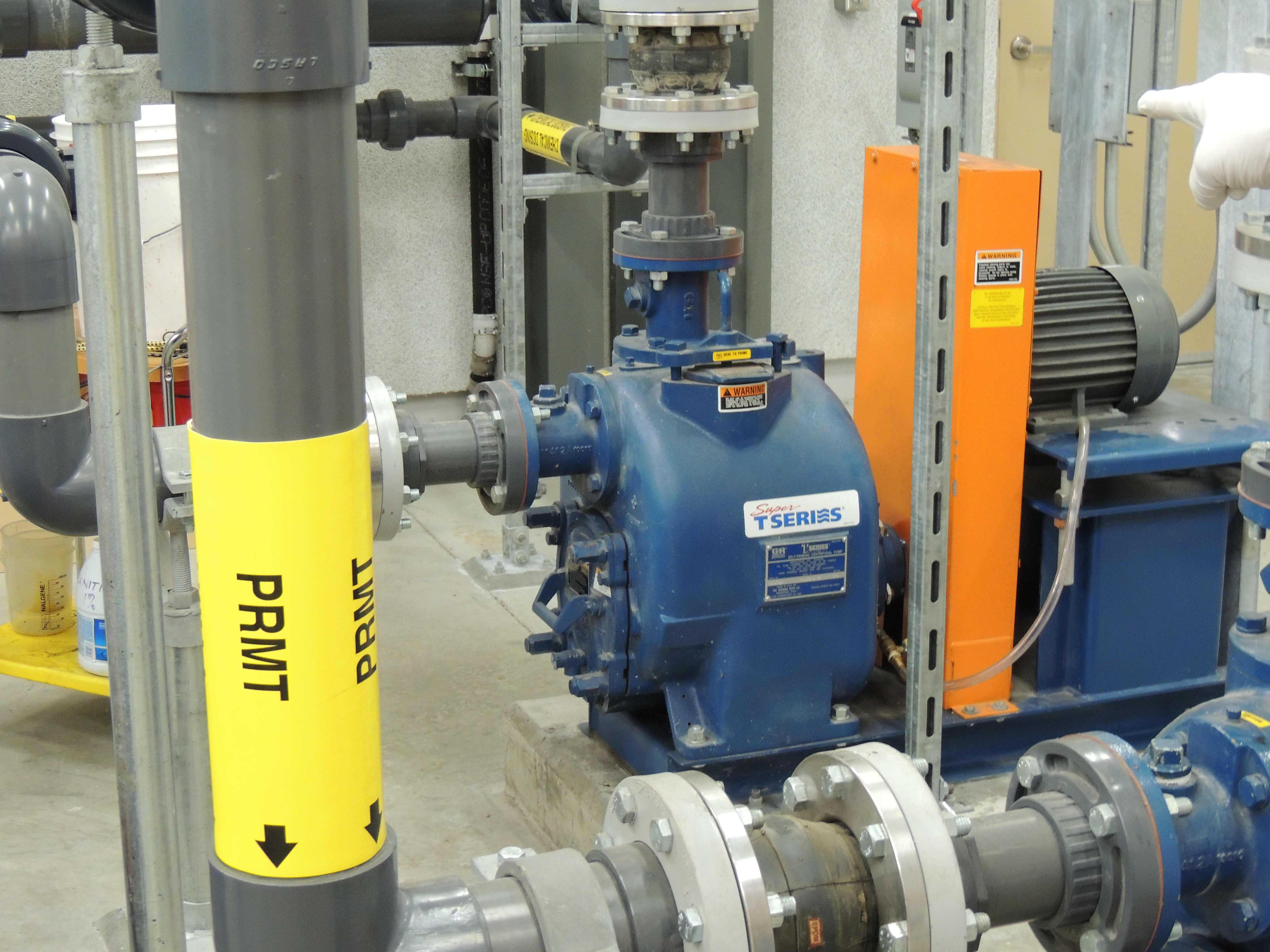
Tenino MBR Permeate Pump

Governor Gregoire
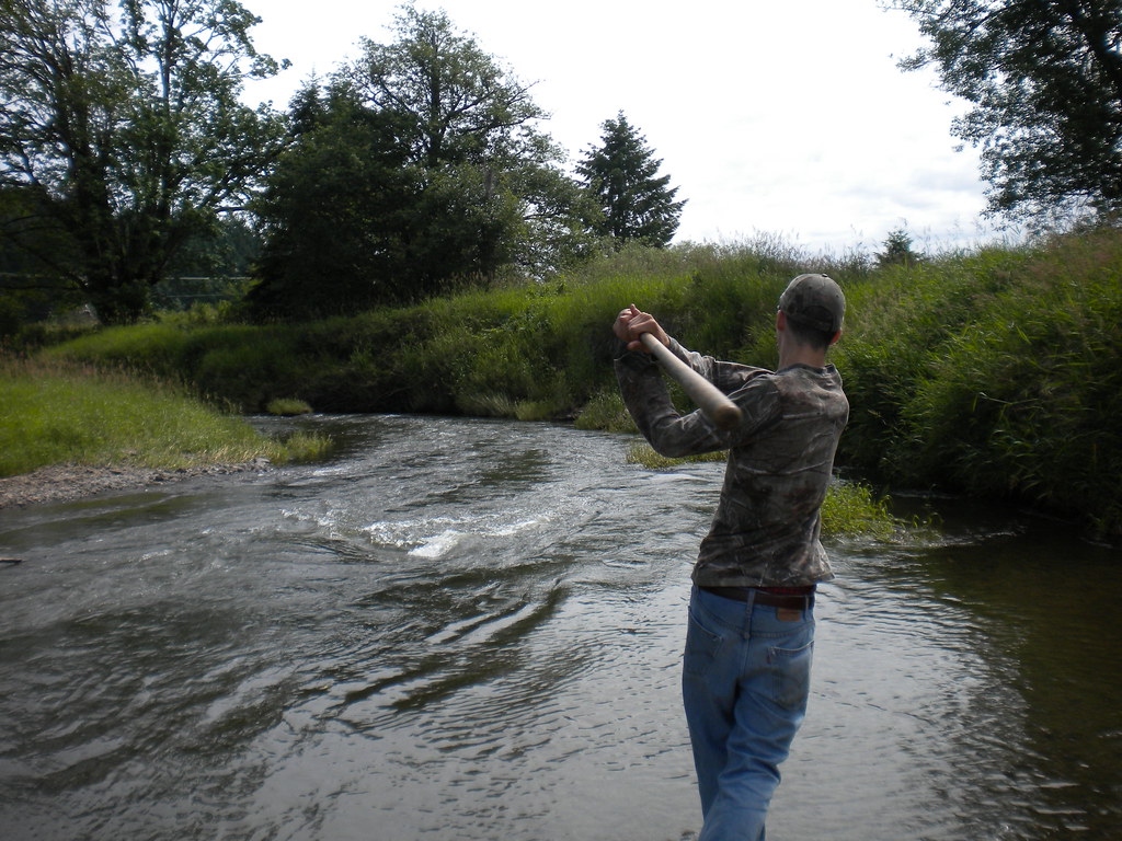
Fly Ball.... er.... Rock....

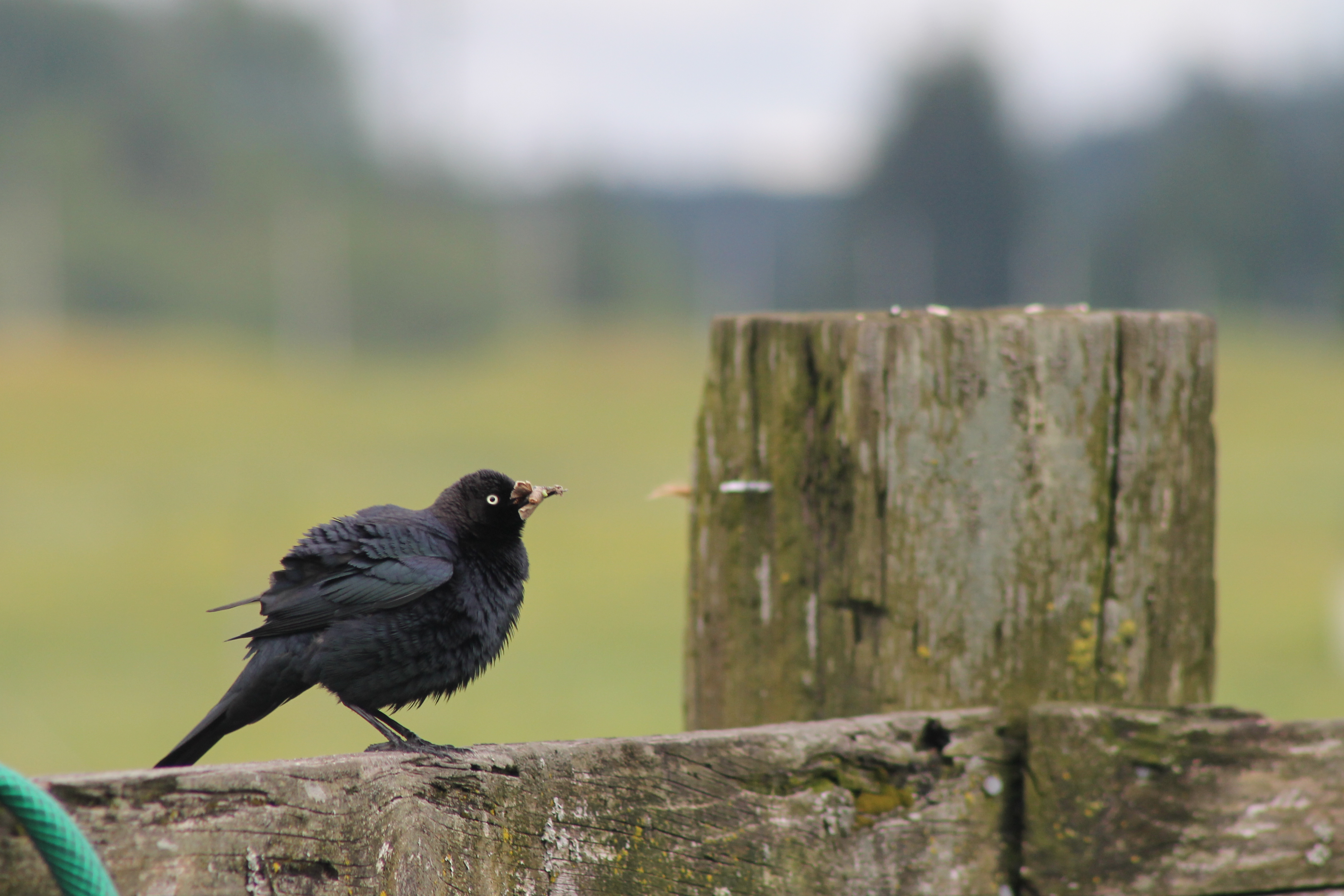
IMG_1103 Female Brewers Blackbird

IMG_2258 Red-tailed Hawk carrying Duck prey
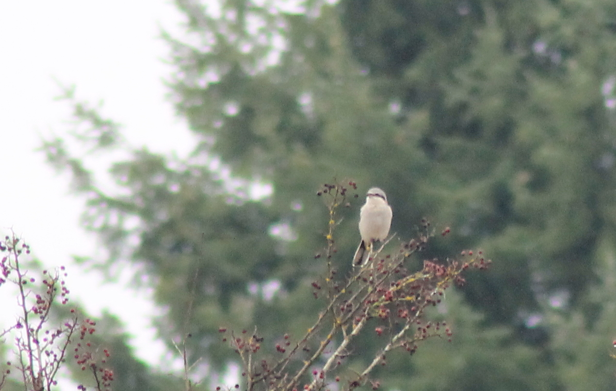
IMG_6349 Northern Shrike - Lanius excubitor
IMG_1096 Male Brewers Blackbird
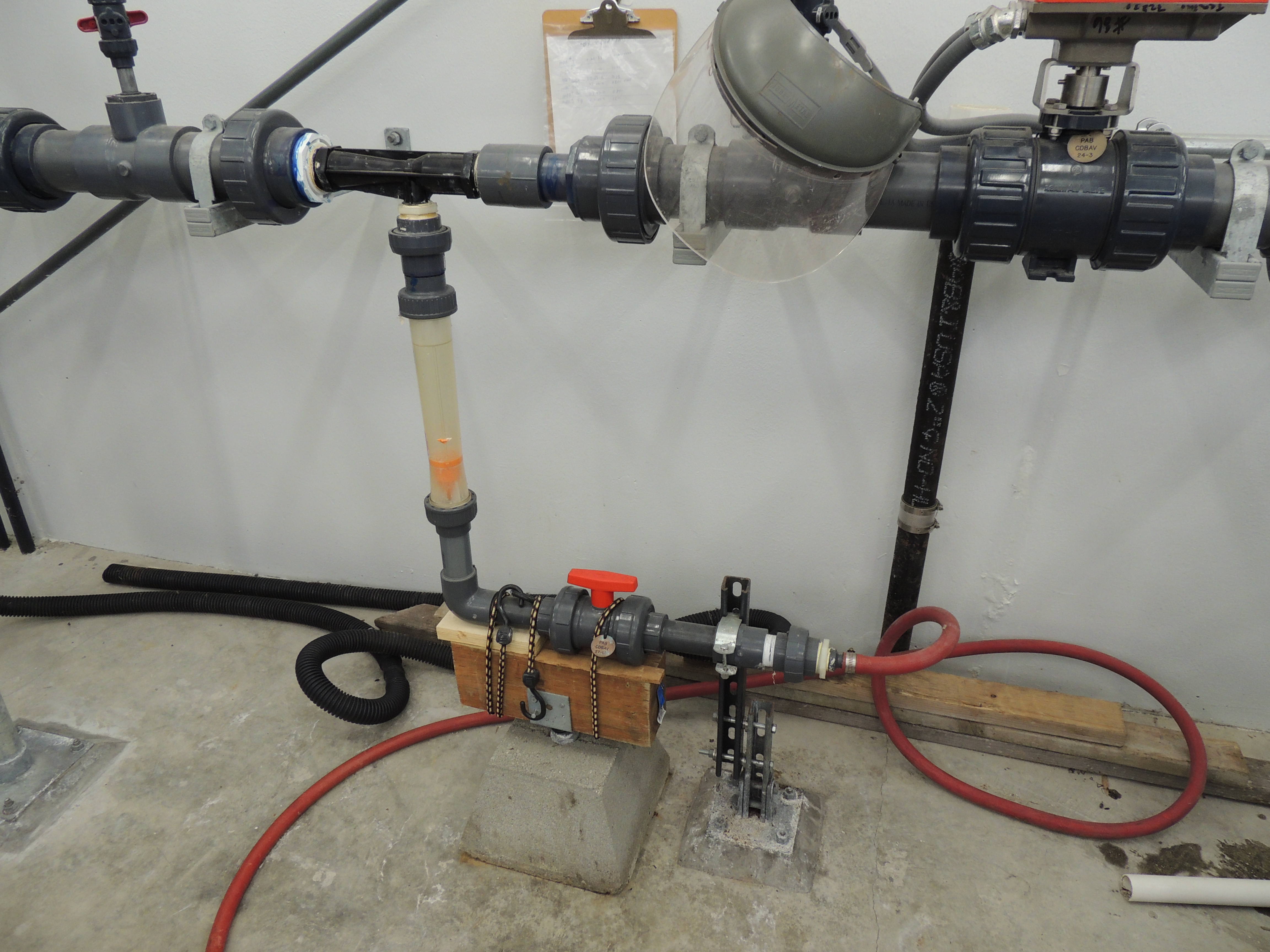
Tenino WWTP MBR CIP System
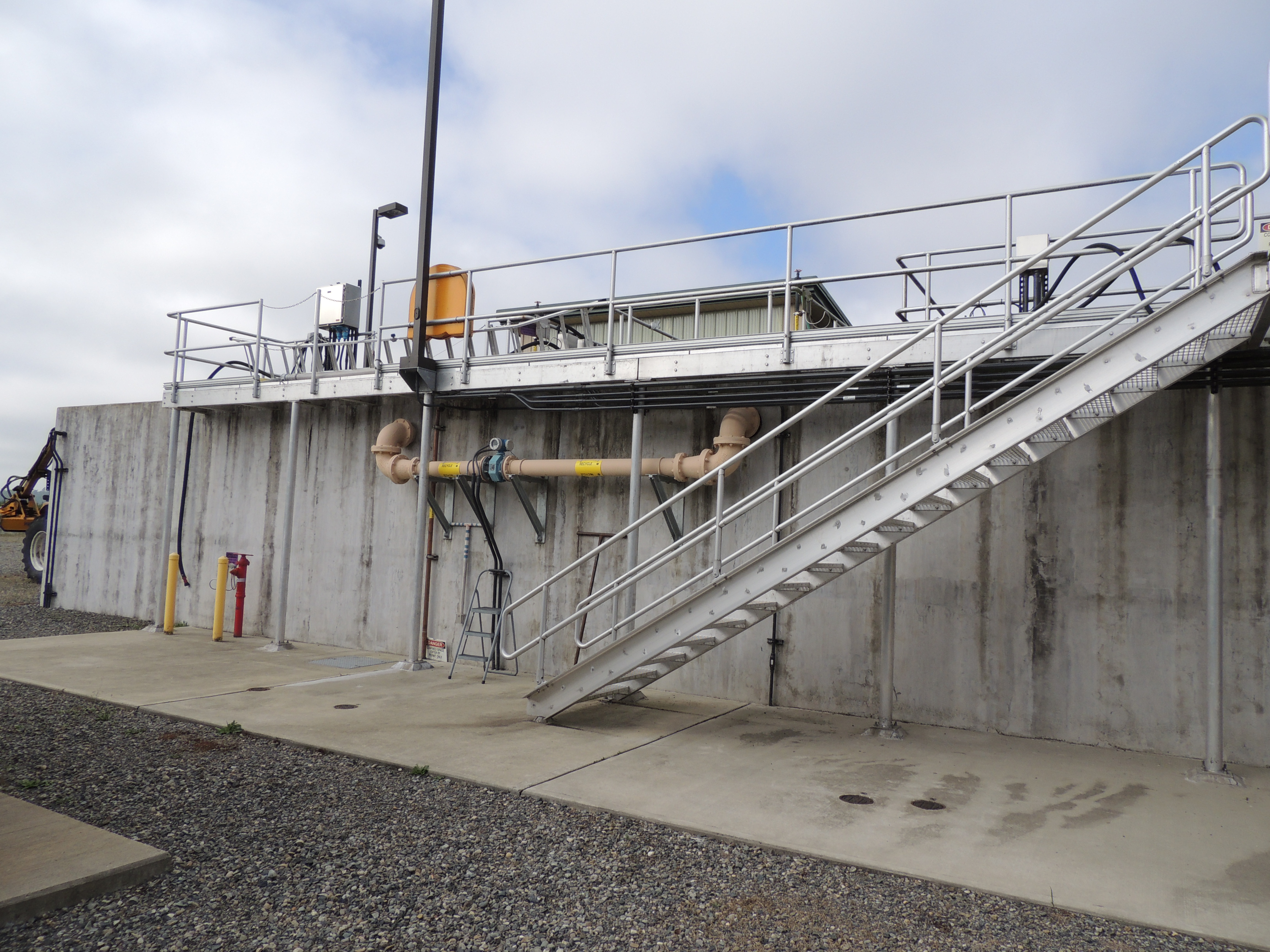
Tenino WWTP, north side view
The Mummy Lives!
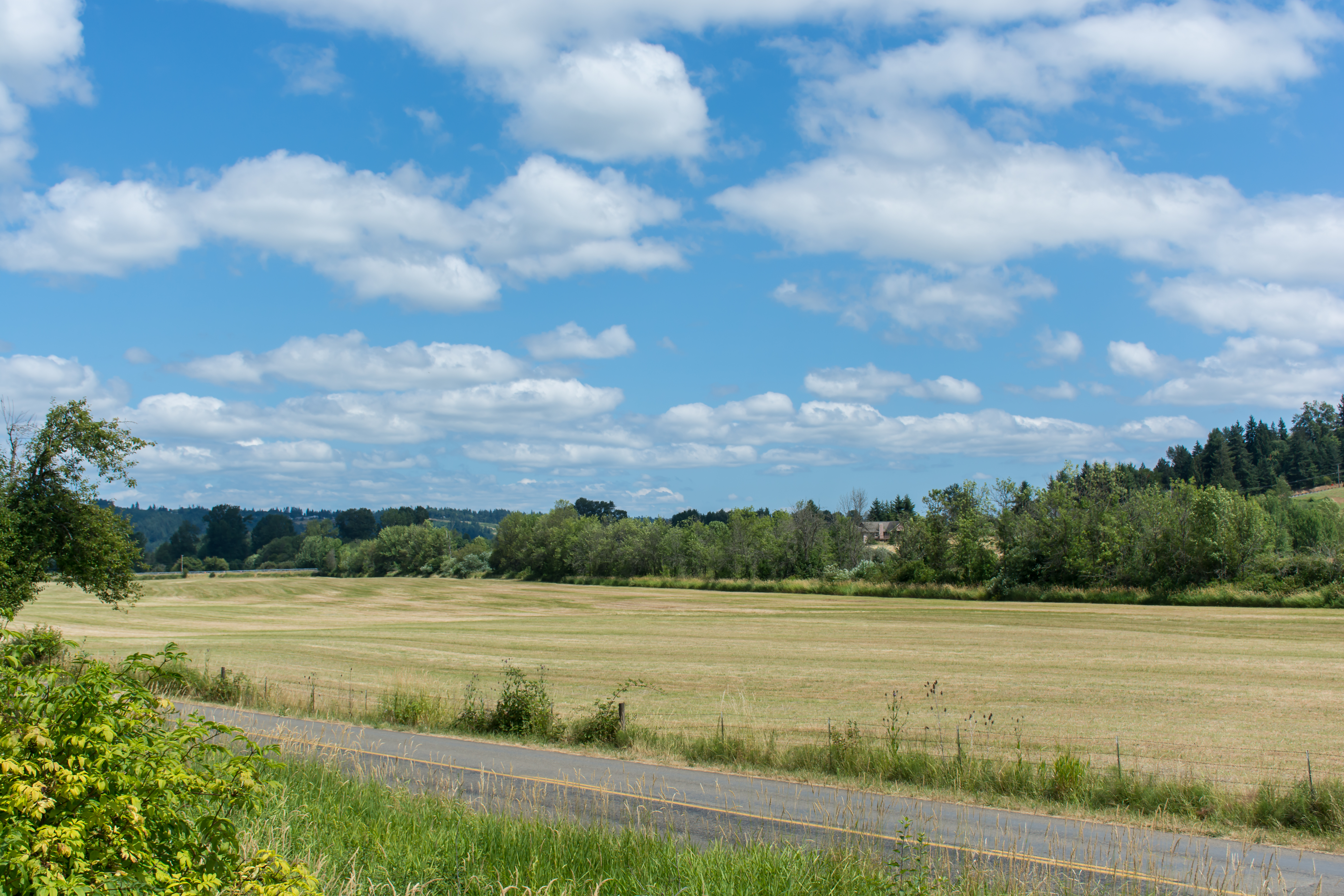
IMG_9011 Reisinger Farms barley field
DSCN1625.JPG
DSCN1622.JPG
View from Coast Starlight
DSCN1624.JPG
Coast Starlight view

Tenino WWTP Solids Handling Lagoon
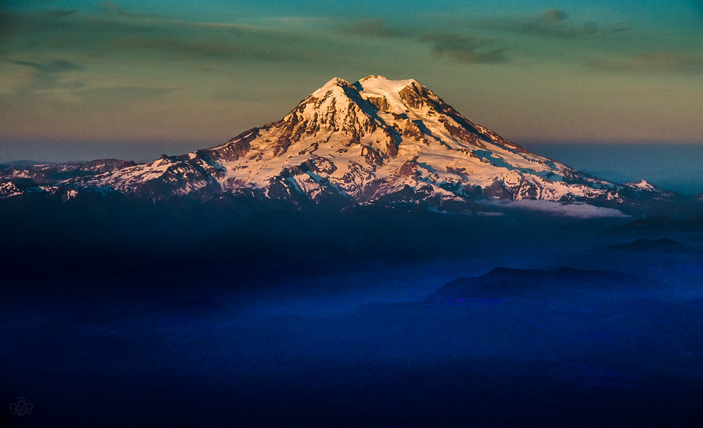
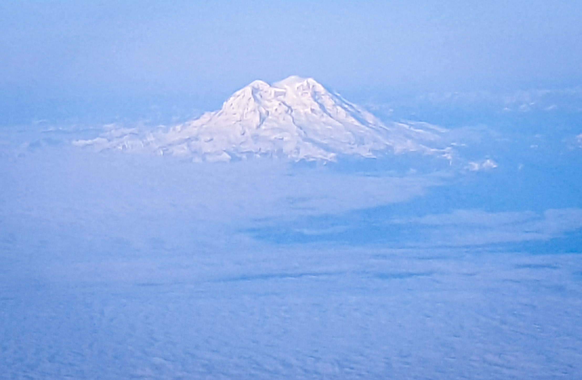
Mt. Rainier: on approach to Seattle

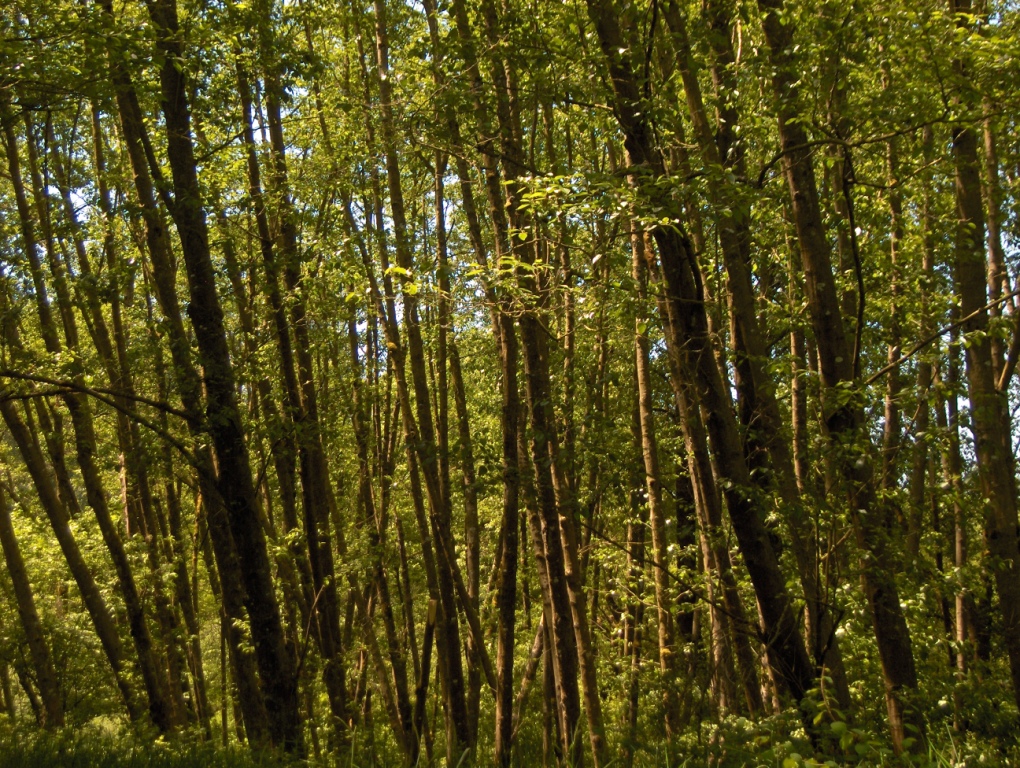
Poplar Tree Plantation
Chehalis 17

Chehalis-Centralia Railroad 17
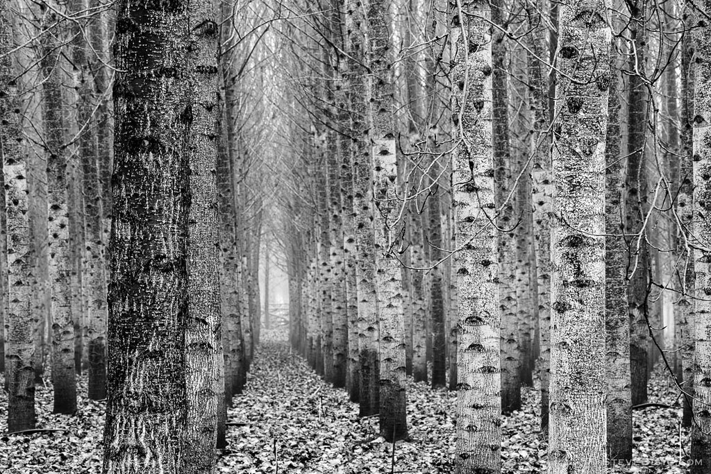
Poplar Tree Plantation, Lewis County, Washington, 2015
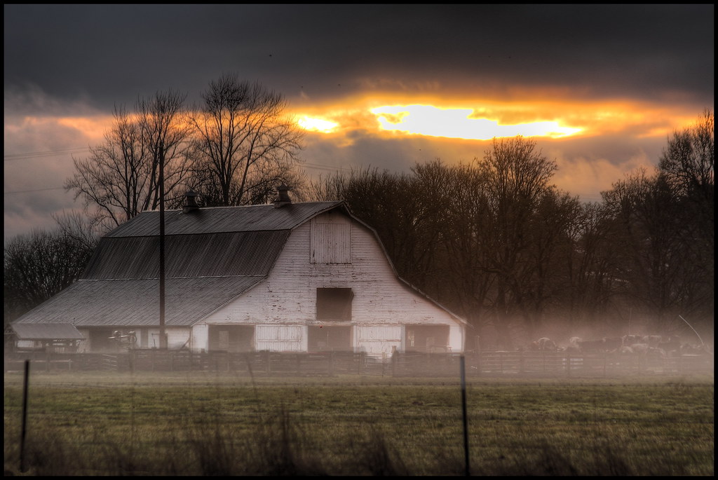
mist and barn

Lovely sunset yesterday.
07.06 - Nacho Trip 07
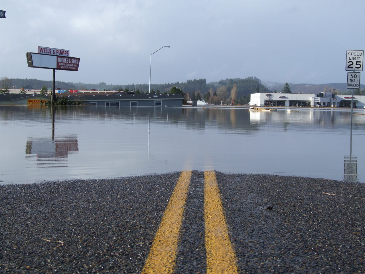
Road Closed

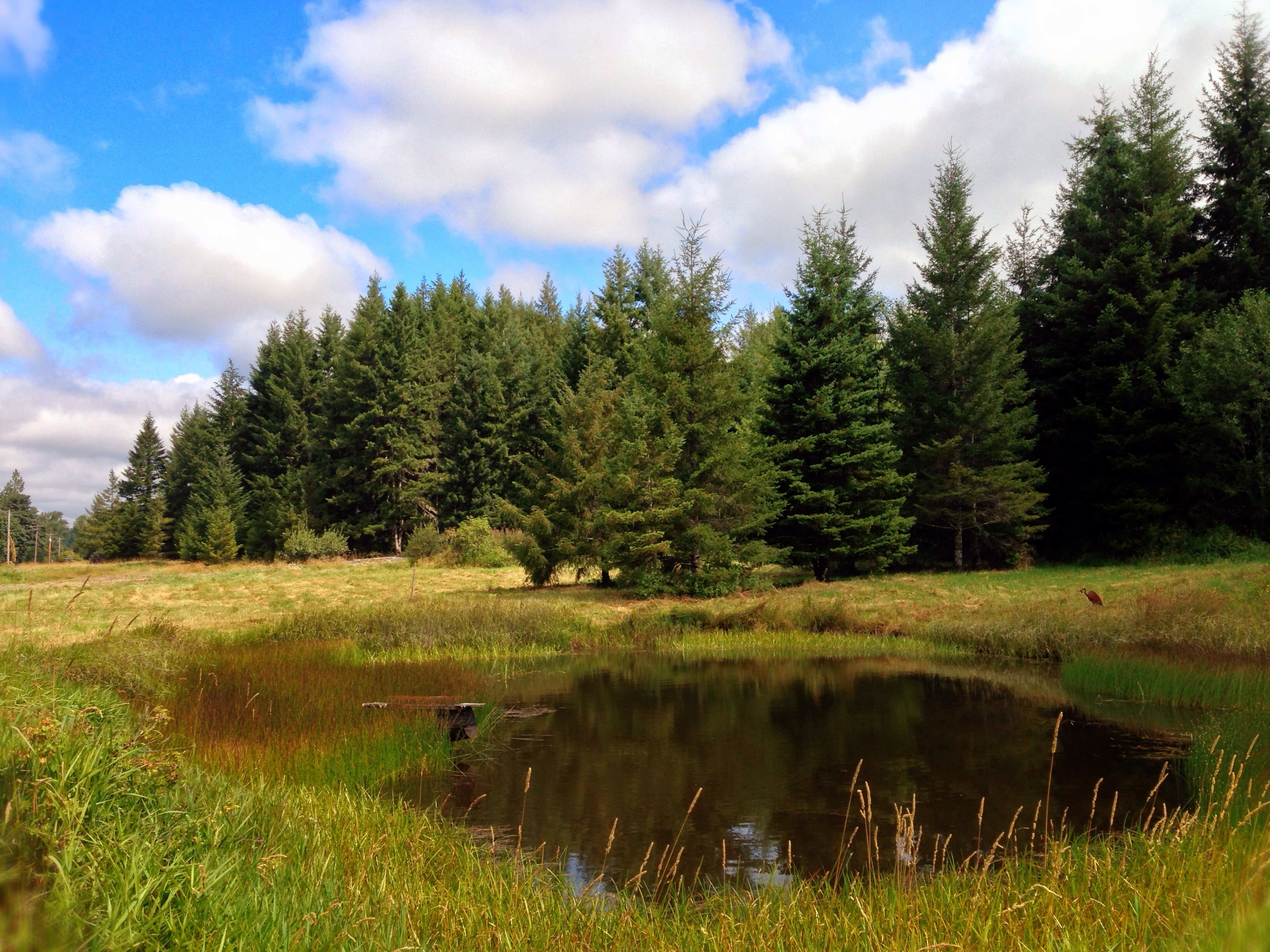
a poplar place to be
Sydney, New South Wales. Australia.
#DeepCreekRoad

Poplar Tree Plantation, Lewis County, Washington, 2015

Spring time's here.

Our Dog Halle
#PartlyCloudy
squid-tree

Barn and Silo, Adna, Washington, 2015
07-20-2011 Flowers in Front Yard (1) (Large)
Topographic Map of N Baker St, Centralia, WA, USA
Find elevation by address:

Places near N Baker St, Centralia, WA, USA:
North Baker Street
104 S Green St
North Green Street
106 N Green St
510 E Locust St
605 Byrd St
Centralia
1818 Ham Hill Rd
112 N Oak St
512 W Cherry St
1437 Lois Ln
400 W Summa St
1217 H St
1301 N Washington Ave
183 Halliday Rd
2280 Seminary Hill Rd
1402 W Roanoke St
170 Tri Mountain Ln
151 Davis Hill Rd
1709 Shamrock Dr
Recent Searches:
- Elevation of 30 Oak Lawn Dr, Barkhamsted, CT, USA
- Elevation of Luther Road, Luther Rd, Auburn, CA, USA
- Elevation of Unnamed Road, Respublika Severnaya Osetiya — Alaniya, Russia
- Elevation of Verkhny Fiagdon, North Ossetia–Alania Republic, Russia
- Elevation of F. Viola Hiway, San Rafael, Bulacan, Philippines
- Elevation of Herbage Dr, Gulfport, MS, USA
- Elevation of Lilac Cir, Haldimand, ON N3W 2G9, Canada
- Elevation of Harrod Branch Road, Harrod Branch Rd, Kentucky, USA
- Elevation of Wyndham Grand Barbados Sam Lords Castle All Inclusive Resort, End of Belair Road, Long Bay, Bridgetown Barbados
- Elevation of Iga Trl, Maggie Valley, NC, USA