Elevation of Greenwood Ln, Centralia, WA, USA
Location: United States > Washington > Lewis County > Centralia >
Longitude: -122.99820
Latitude: 46.7307202
Elevation: 52m / 171feet
Barometric Pressure: 101KPa
Elevation Map:
Satellite Map:
Related Photos:

Governor Gregoire
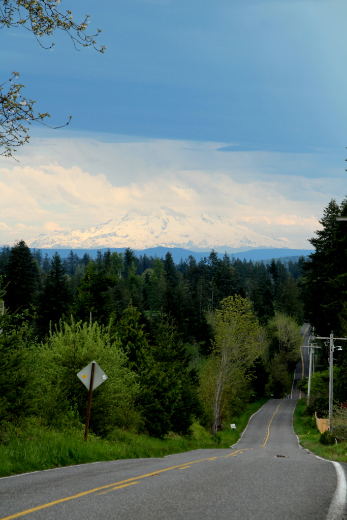
Grey Highway

a2001-15-04

Aerial view of I-5 in Chehalis

Empire of Liberty: A History of the Early Republic, 1789-1815, by Gordon S. Wood

Mirror view, I-5 Southbound

Aerial view of I-5 in Chehalis

IMG_1055 Western Wood Pewee
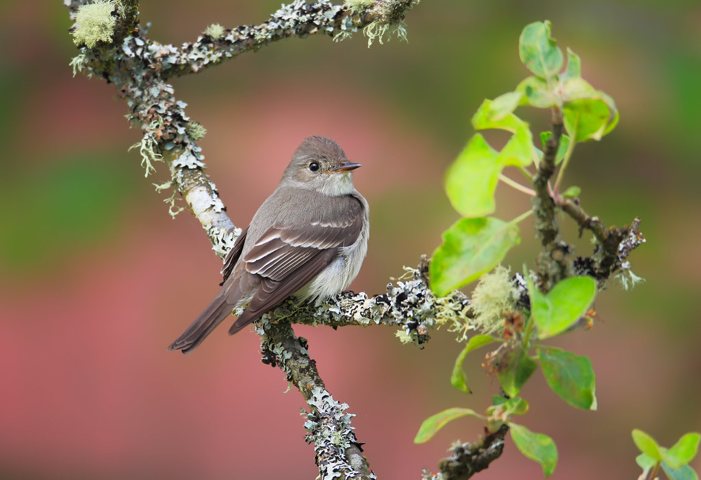
Western Wood-Pewee

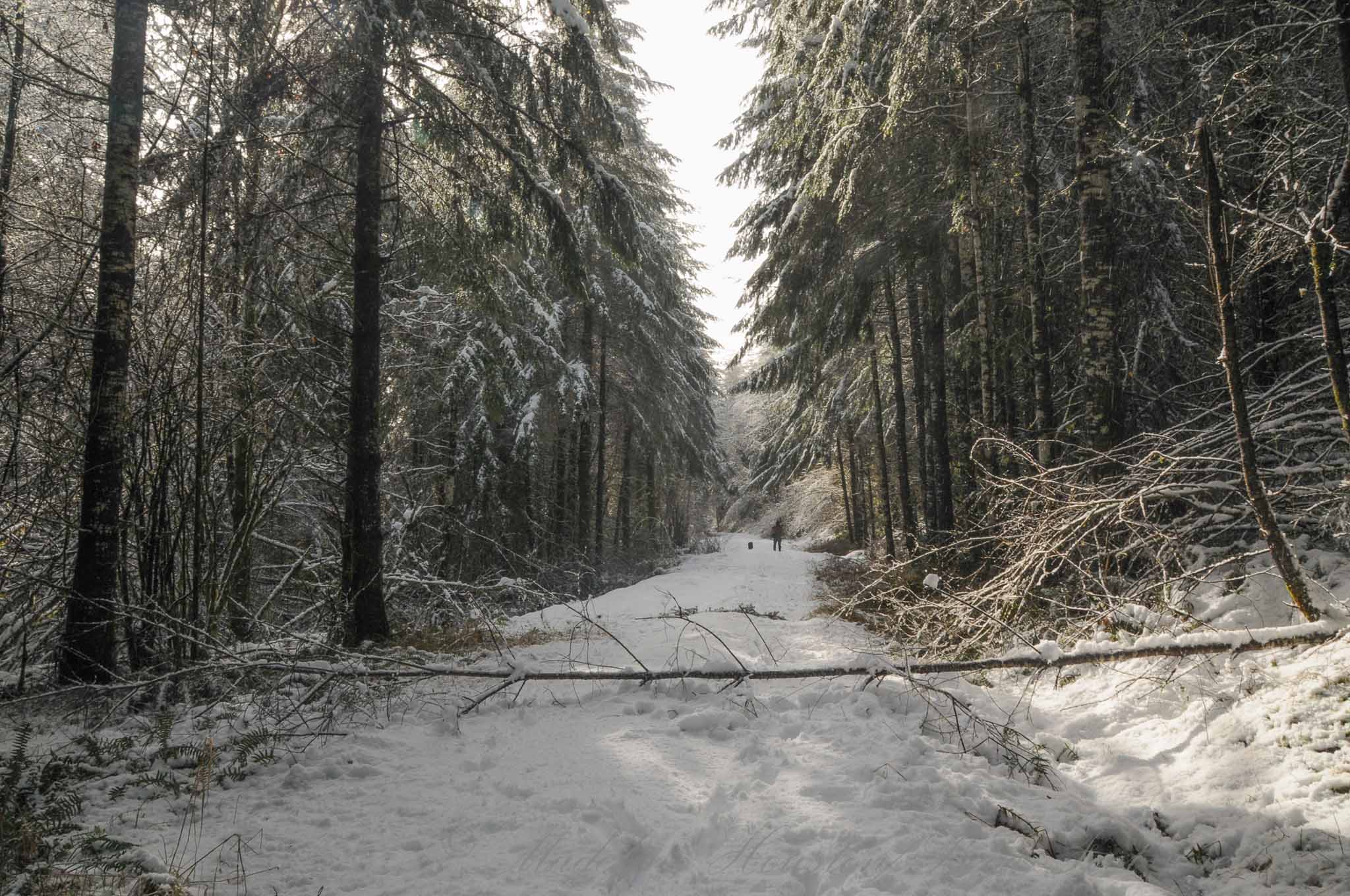
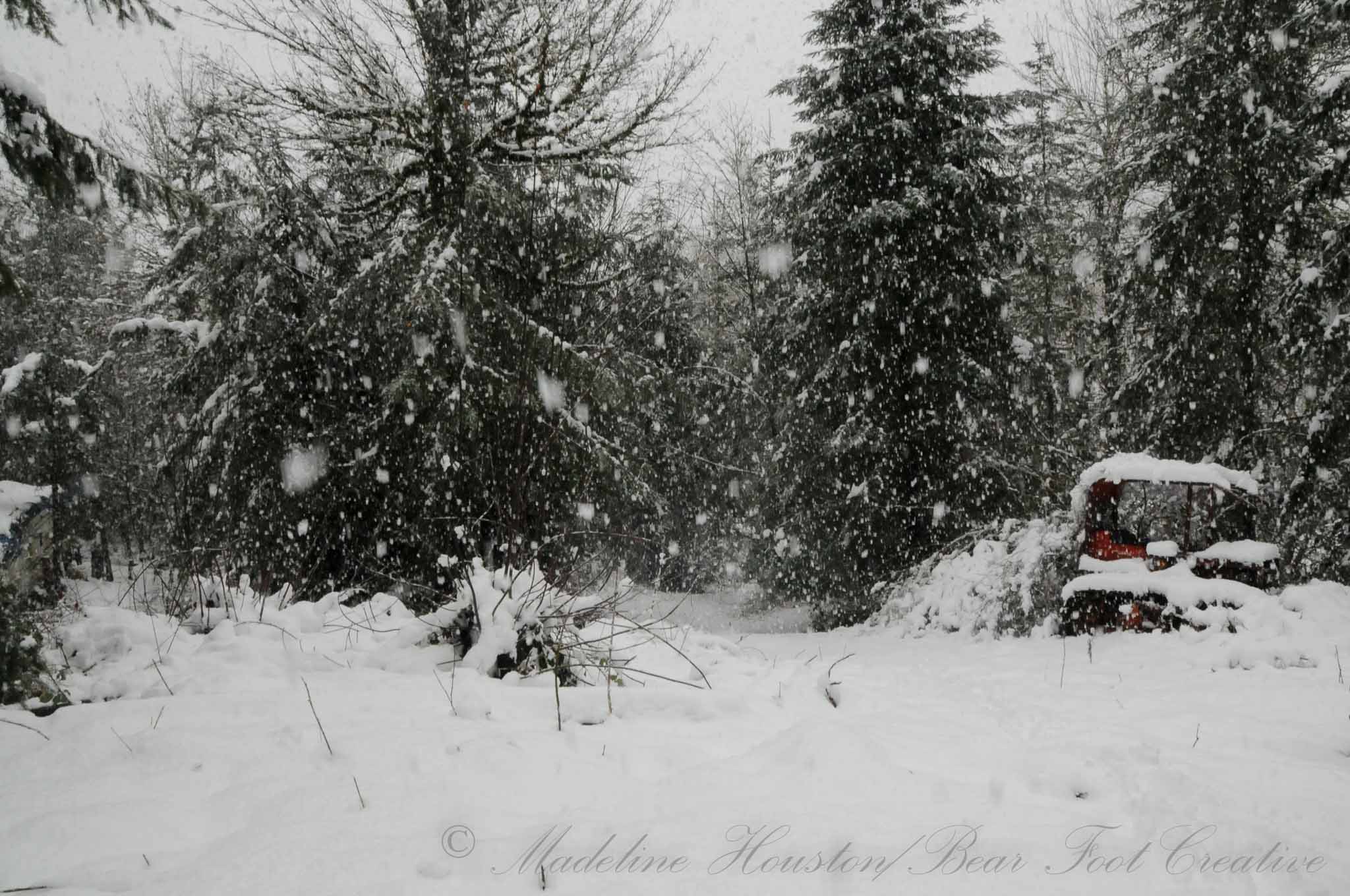
Snow and rain
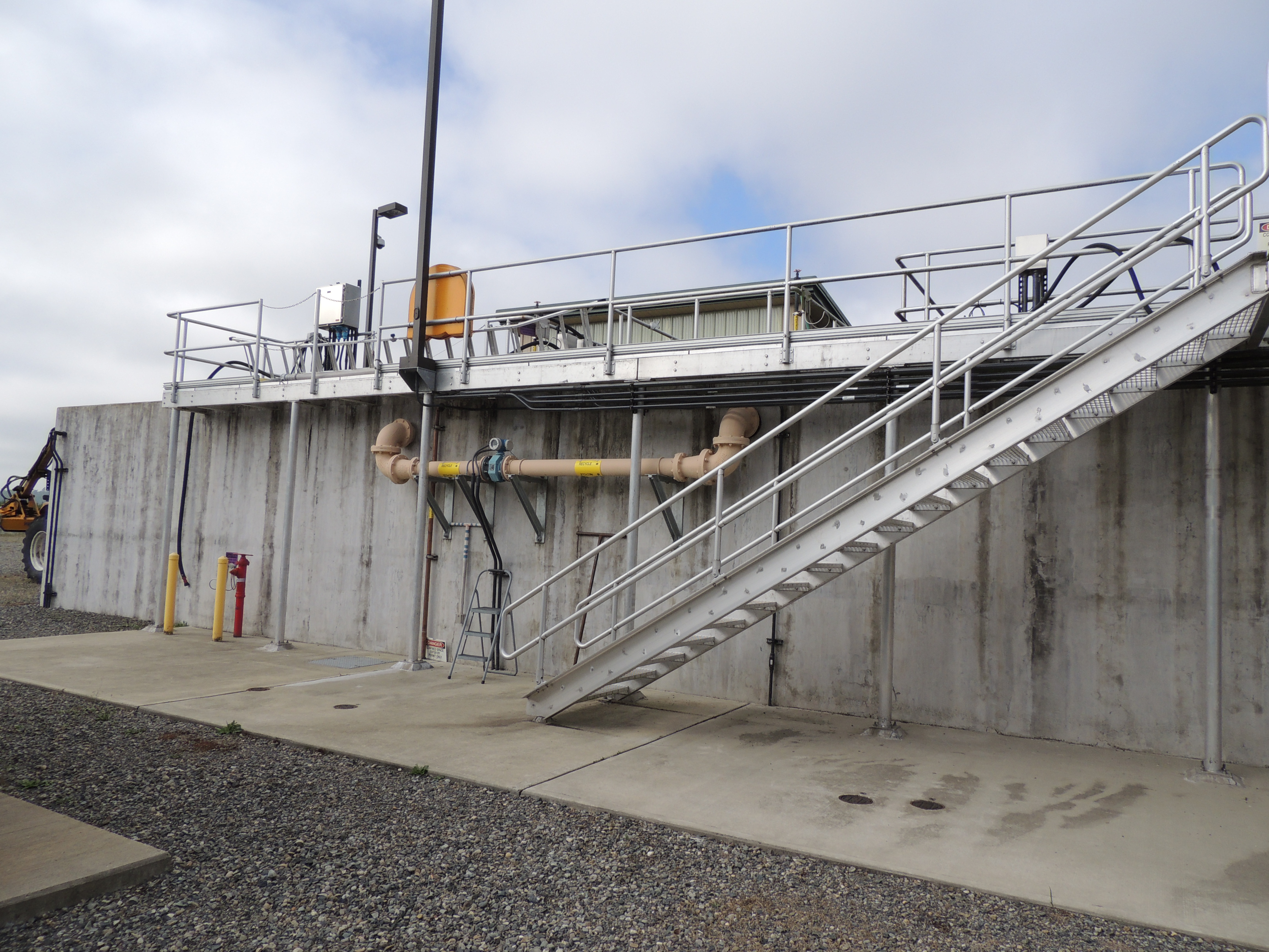
Tenino WWTP, bioreactor tankage

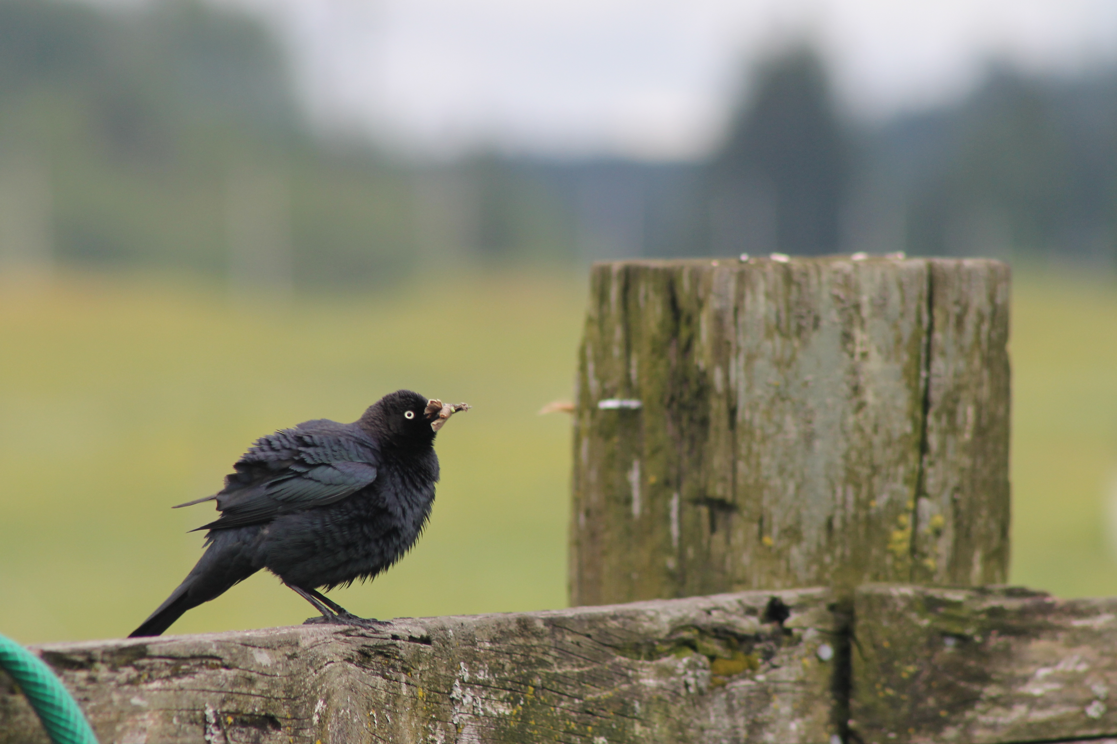
IMG_1103 Female Brewers Blackbird

a2003-14-31
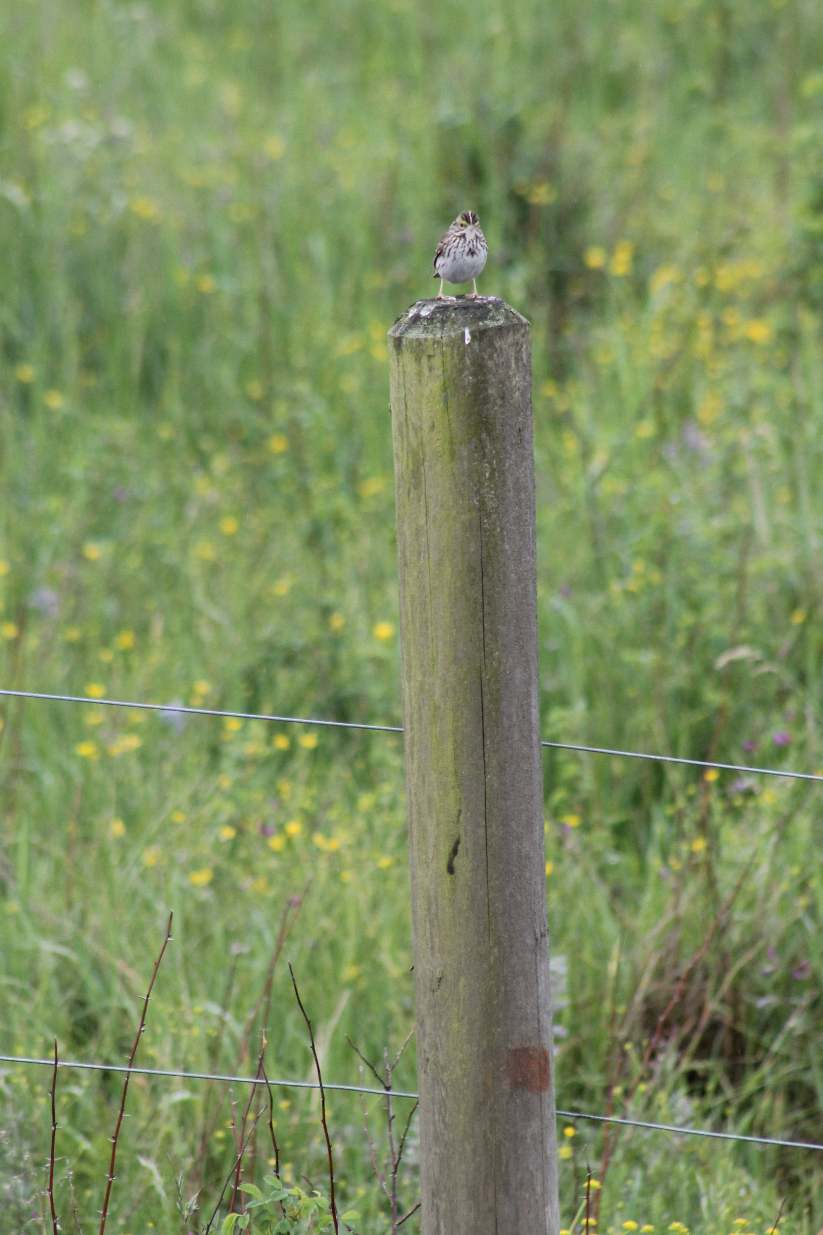
IMG_1050 Savannah Sparrow
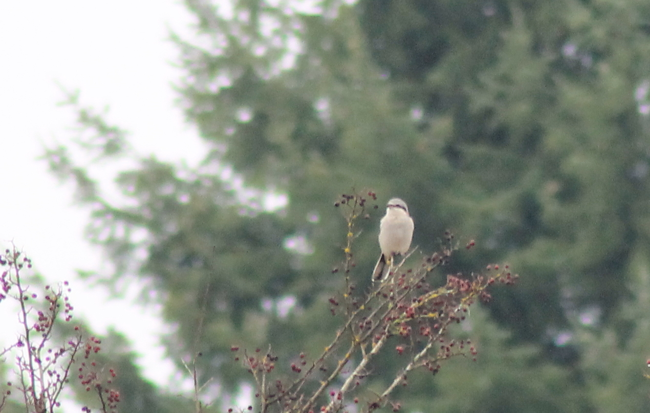
IMG_6349 Northern Shrike - Lanius excubitor
Noisy Hayride
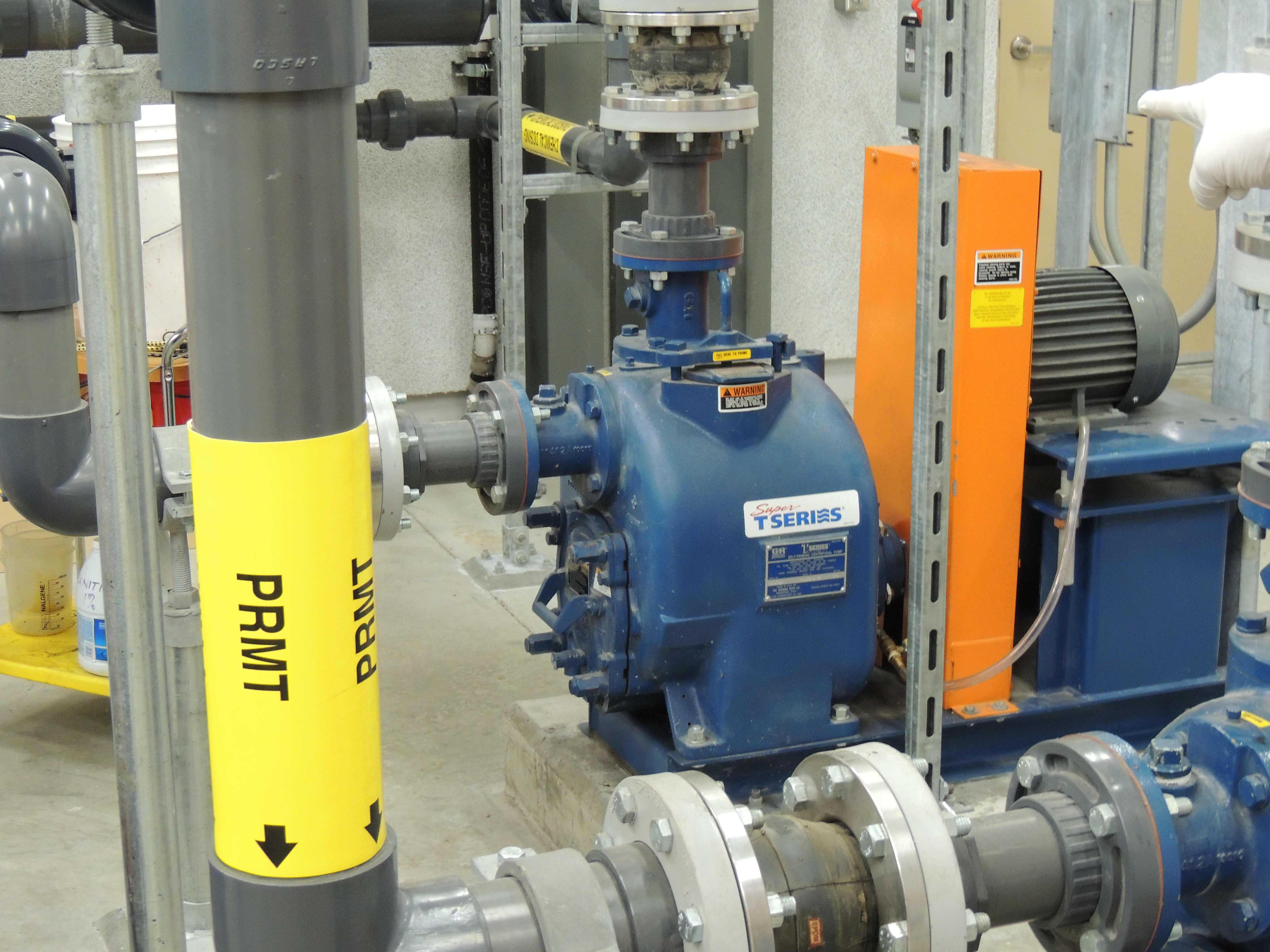
Tenino MBR Permeate Pump
IMG_1096 Male Brewers Blackbird
Lagger's Eye View

IMG_1022 Violet-Green Swallow
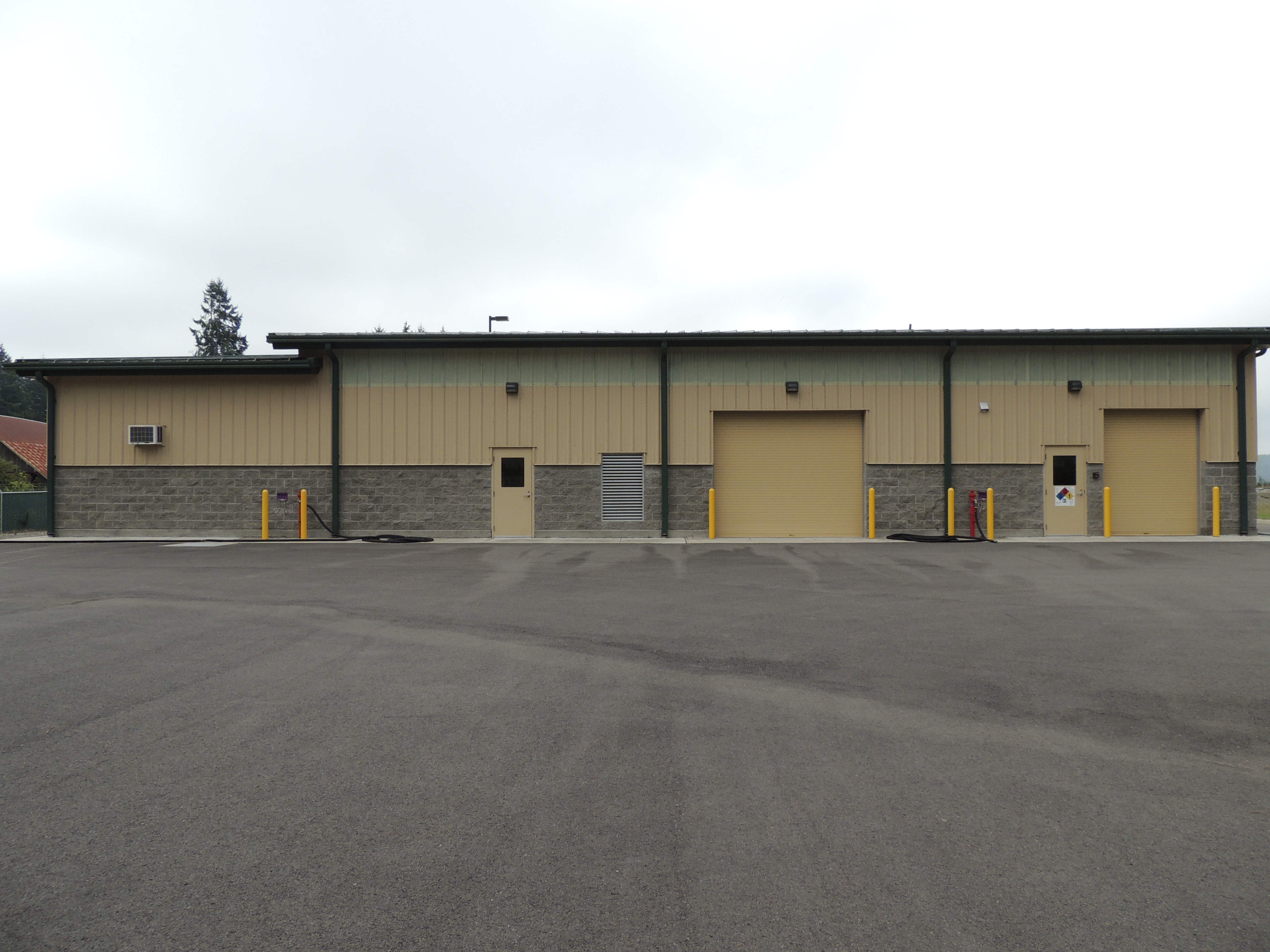
Tenino WWTP, north side view
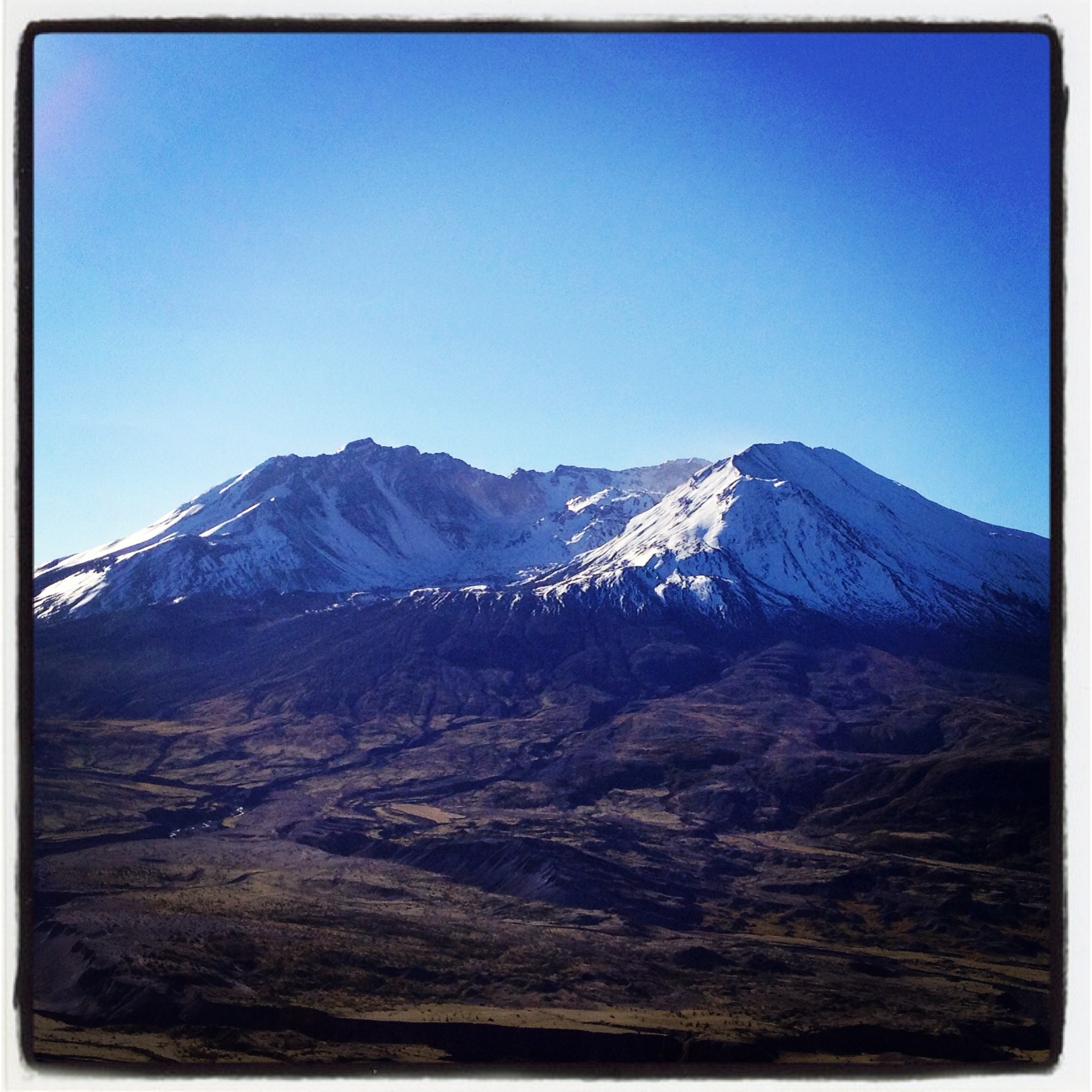
Coldwater Lake hike

River Bridge

Poplar Tree Plantation
Opened the back gate at work to see this.

Chehalis-Centralia Railroad 17
Chehalis 17

Chehalis-Centralia Railroad 17
mist and barn
Road Closed
07.06 - Nacho Trip 07

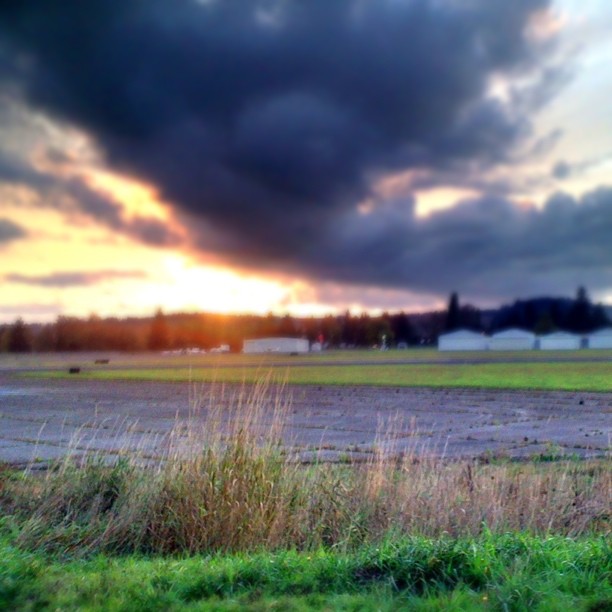
Lovely sunset yesterday.
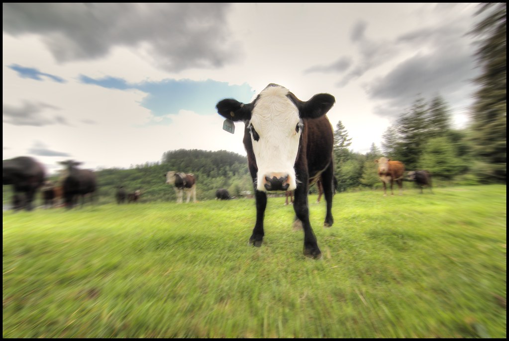
zoom cow

a poplar place to be
Disappearing Dozer

Poplar Tree Plantation, Lewis County, Washington, 2015

Our Dog Halle
#DeepCreekRoad

Seminary Hill II
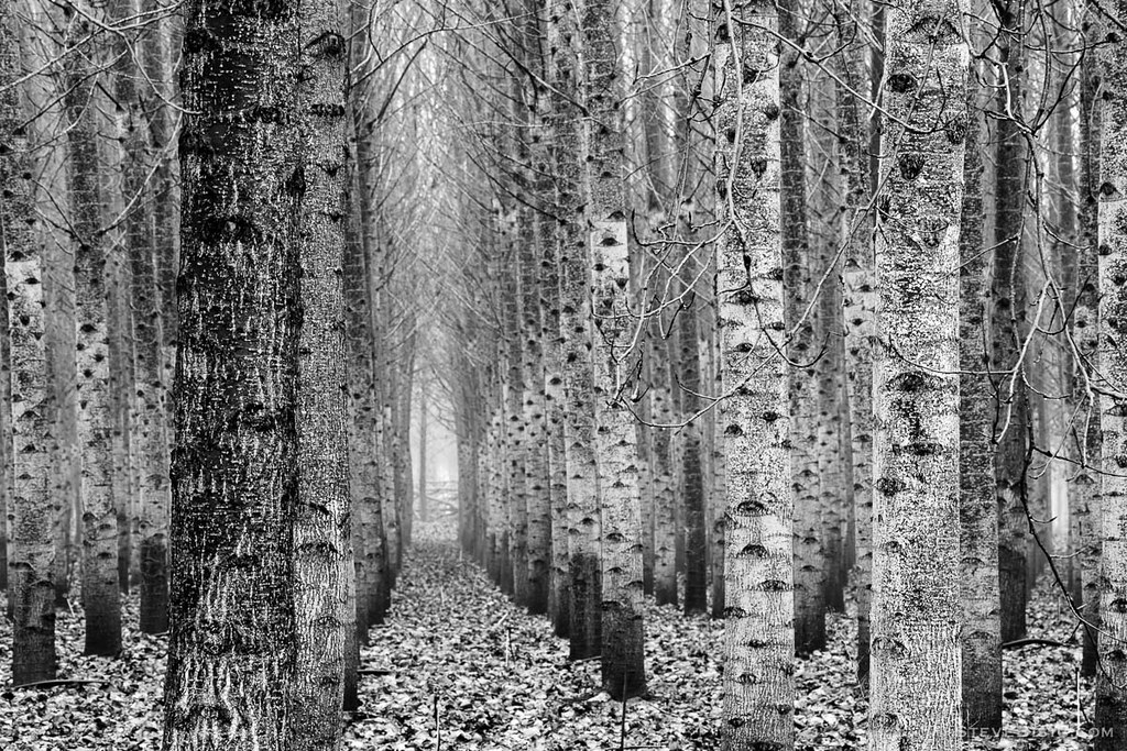
Poplar Tree Plantation, Lewis County, Washington, 2015

Chehalis River
#PartlyCloudy
Topographic Map of Greenwood Ln, Centralia, WA, USA
Find elevation by address:

Places near Greenwood Ln, Centralia, WA, USA:
3110 Borst Ave
3030 Borst Ave
2455 Borst Ave
2064 Cooks Hill Rd
3324 Cooks Hill Rd
264 River Heights Rd
1020 Swanson Dr
1907 Shamrock Dr
1709 Shamrock Dr
159 Sandy Blvd
272 Blanchard Rd
1402 W Roanoke St
3810 Cooks Hill Rd
151 Davis Hill Rd
1301 N Washington Ave
1217 H St
112 N Oak St
512 W Cherry St
400 W Summa St
Centralia
Recent Searches:
- Elevation of 62 Abbey St, Marshfield, MA, USA
- Elevation of Fernwood, Bradenton, FL, USA
- Elevation of Felindre, Swansea SA5 7LU, UK
- Elevation of Leyte Industrial Development Estate, Isabel, Leyte, Philippines
- Elevation of W Granada St, Tampa, FL, USA
- Elevation of Pykes Down, Ivybridge PL21 0BY, UK
- Elevation of Jalan Senandin, Lutong, Miri, Sarawak, Malaysia
- Elevation of Bilohirs'k
- Elevation of 30 Oak Lawn Dr, Barkhamsted, CT, USA
- Elevation of Luther Road, Luther Rd, Auburn, CA, USA