Elevation of Blanchard Rd, Centralia, WA, USA
Location: United States > Washington > Lewis County > Centralia >
Longitude: -123.01467
Latitude: 46.70525
Elevation: 65m / 213feet
Barometric Pressure: 101KPa
Elevation Map:
Satellite Map:
Related Photos:

Aerial view of I-5 in Chehalis

The Mummy Lives!

IMG_9944 Common Ravens
IMG_9968 Western Scrub Jay - Aphelocoma californica immanis

a2001-15-04
Empire of Liberty: A History of the Early Republic, 1789-1815, by Gordon S. Wood

Mirror view, I-5 Southbound

Aerial view of I-5 in Chehalis
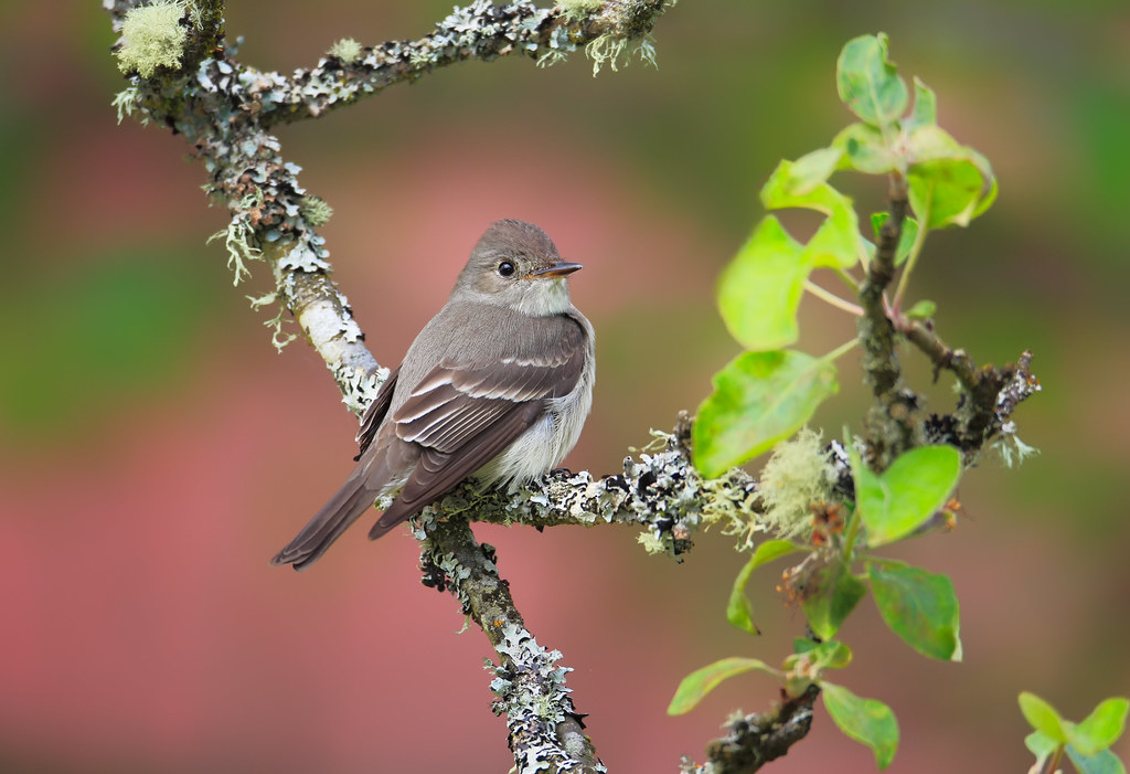
Western Wood-Pewee

Snow and rain

Governor Gregoire

a2003-14-31
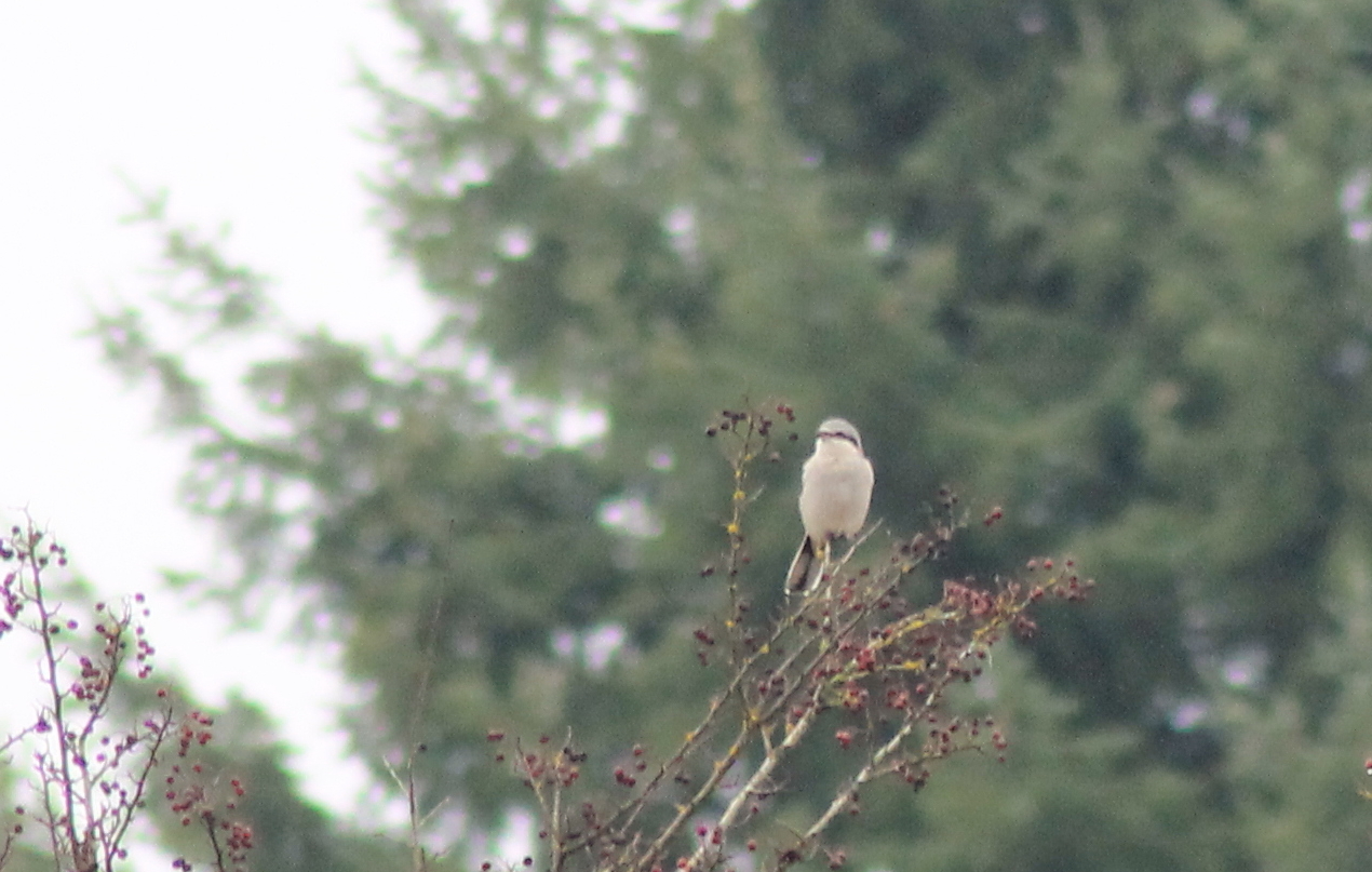
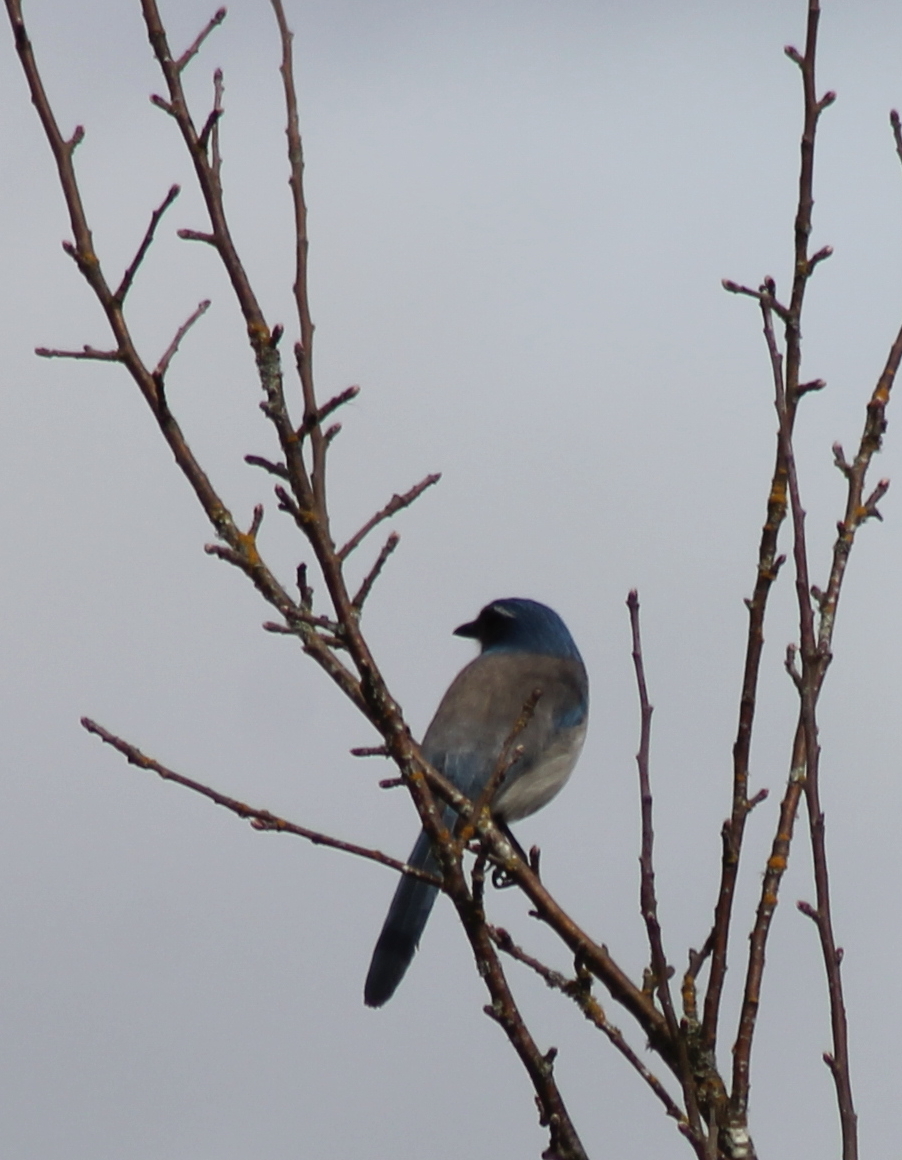
IMG_6349 Northern Shrike - Lanius excubitor
fan view
DSCN1621.JPG
DSCN1625.JPG
DSCN1622.JPG
DSCN1624.JPG
IMG_7252 Scatter Creek Prairie

Poplar Tree Plantation
#PartlyCloudy
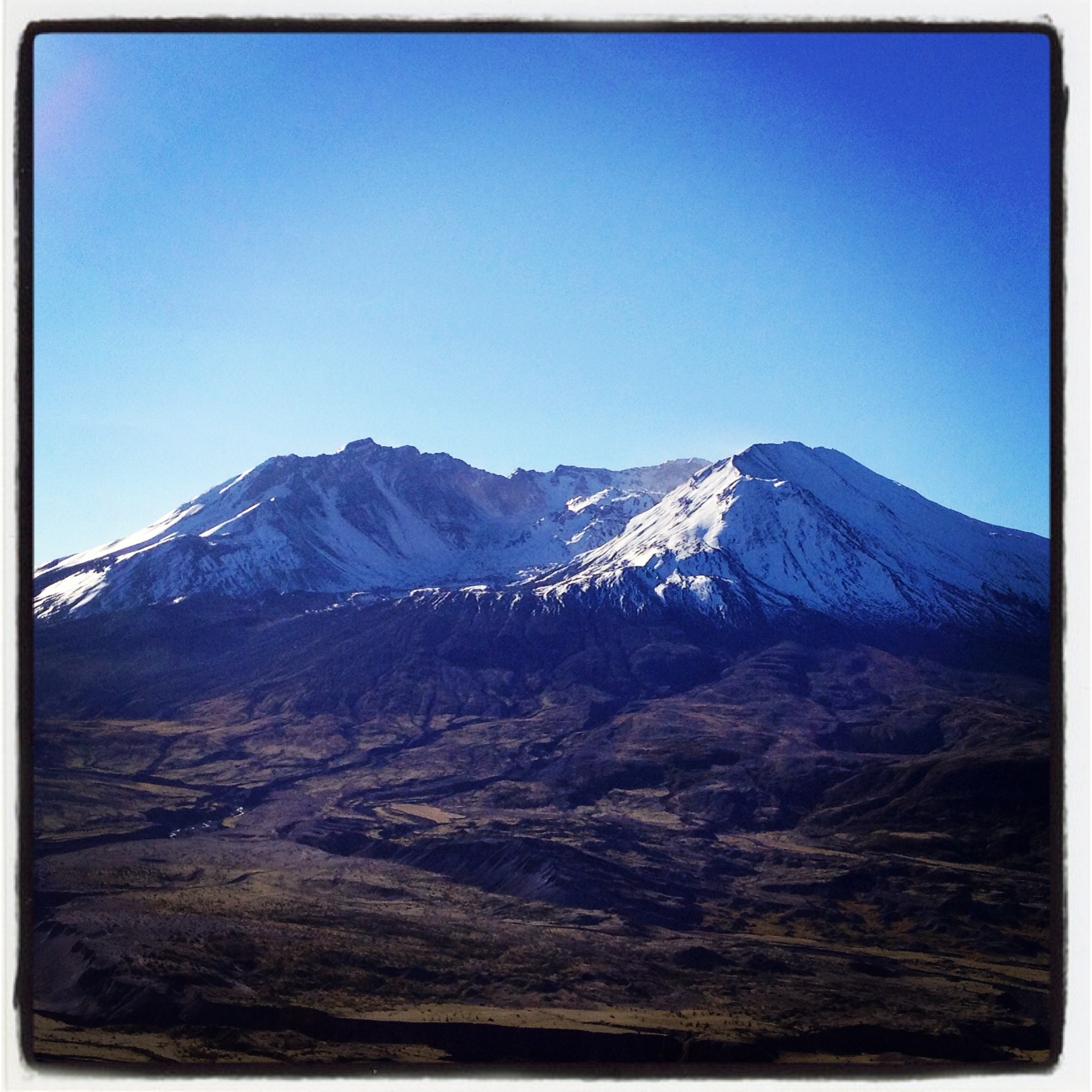
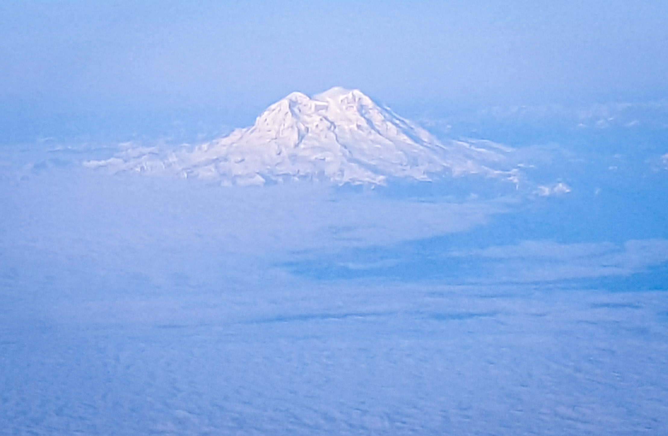
little mt. rainier and a logged forest. #deadlyrigs
Coldwater Lake hike
On break, I just had to run out the back roller door to get this. #nofilter #nojoke
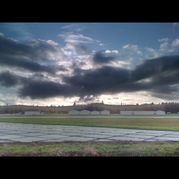
Opened the back gate at work to see this.

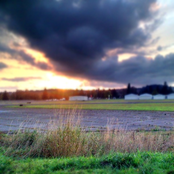
Lovely sunset yesterday.
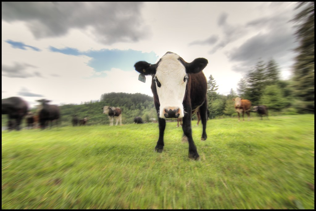
zoom cow

a poplar place to be
Sydney, New South Wales. Australia.

Poplar Tree Plantation, Lewis County, Washington, 2015
#DeepCreekRoad

Our Dog Halle

Seminary Hill II

Spring time's here.

07-20-2011 Flowers in Front Yard (13) (Large)

Chehalis River
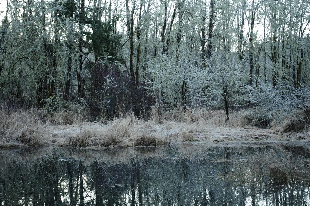
Winter Pond at Sunrise

Barn and Silo, Adna, Washington, 2015
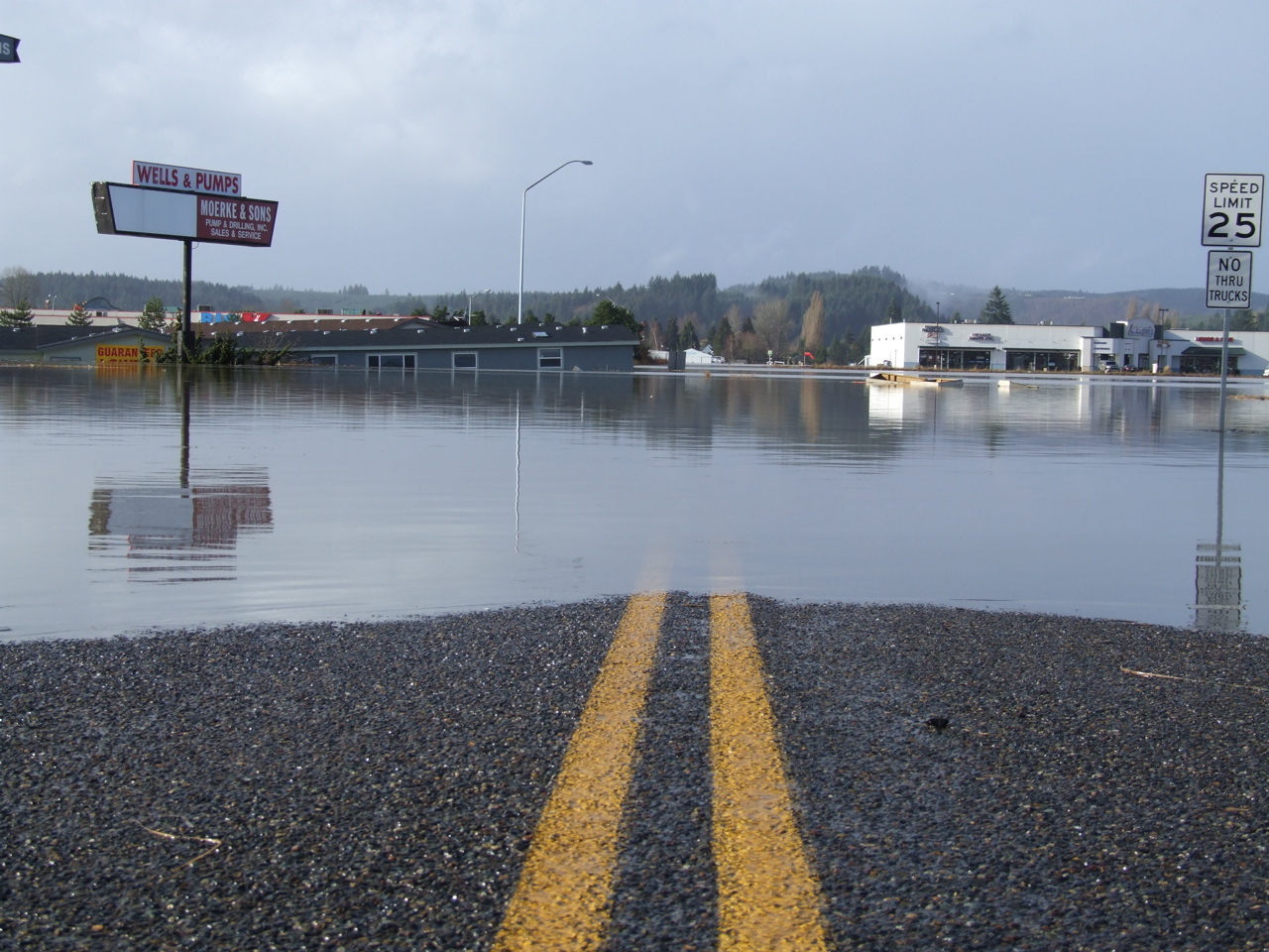
Road Closed
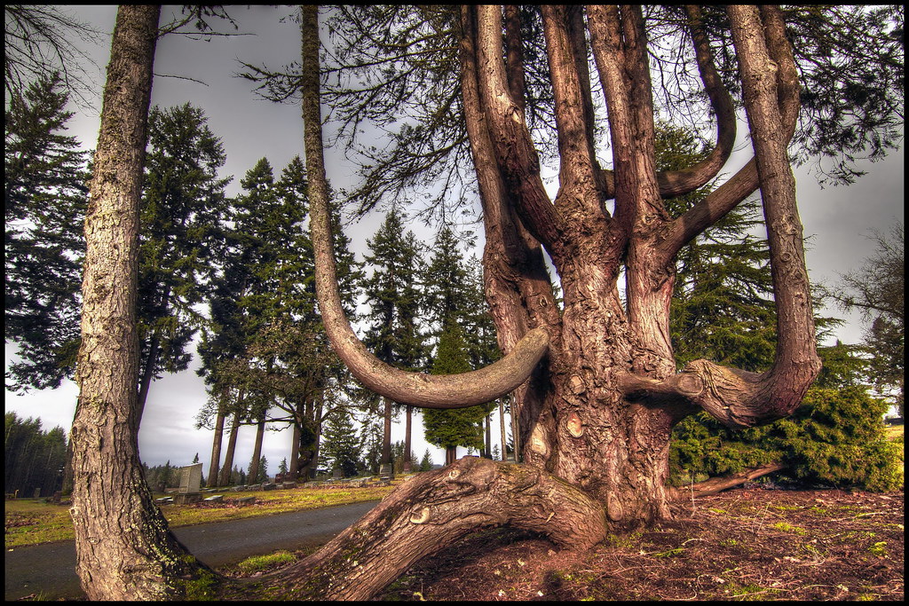
squid-tree
Topographic Map of Blanchard Rd, Centralia, WA, USA
Find elevation by address:

Places near Blanchard Rd, Centralia, WA, USA:
1020 Swanson Dr
3324 Cooks Hill Rd
264 River Heights Rd
3810 Cooks Hill Rd
159 Sandy Blvd
2064 Cooks Hill Rd
1907 Shamrock Dr
3110 Borst Ave
1304 Greenwood Ln
3030 Borst Ave
1709 Shamrock Dr
2455 Borst Ave
1601 Nw Louisiana Ave
288 Lincoln Creek Rd
114 Pine Dr
134 Sunset Dr
358 Lincoln Creek Rd
400 W Summa St
512 W Cherry St
Trim Shop
Recent Searches:
- Elevation of Pu Ngaol Community Meeting Hall, HWHM+3X7, Krong Saen Monourom, Cambodia
- Elevation of Royal Ontario Museum, Queens Park, Toronto, ON M5S 2C6, Canada
- Elevation of Groblershoop, South Africa
- Elevation of Power Generation Enterprises | Industrial Diesel Generators, Oak Ave, Canyon Country, CA, USA
- Elevation of Chesaw Rd, Oroville, WA, USA
- Elevation of N, Mt Pleasant, UT, USA
- Elevation of 6 Rue Jules Ferry, Beausoleil, France
- Elevation of Sattva Horizon, 4JC6+G9P, Vinayak Nagar, Kattigenahalli, Bengaluru, Karnataka, India
- Elevation of Great Brook Sports, Gold Star Hwy, Groton, CT, USA
- Elevation of 10 Mountain Laurels Dr, Nashua, NH, USA