Elevation of Saint-Simon, QC, Canada
Location: Canada > Québec > Les Maskoutains Regional County Municipality >
Longitude: -72.835641
Latitude: 45.7255351
Elevation: 38m / 125feet
Barometric Pressure: 101KPa
Elevation Map:
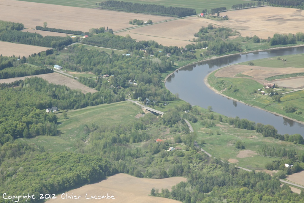
Satellite Map:
Related Photos:
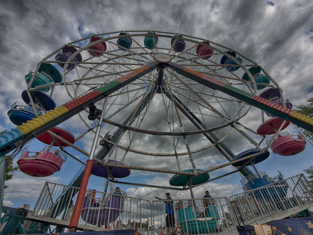
La grande Roue / The Ferris Wheel

Chouette épervière

Graf.

Chouette épervière

Chouette épervière
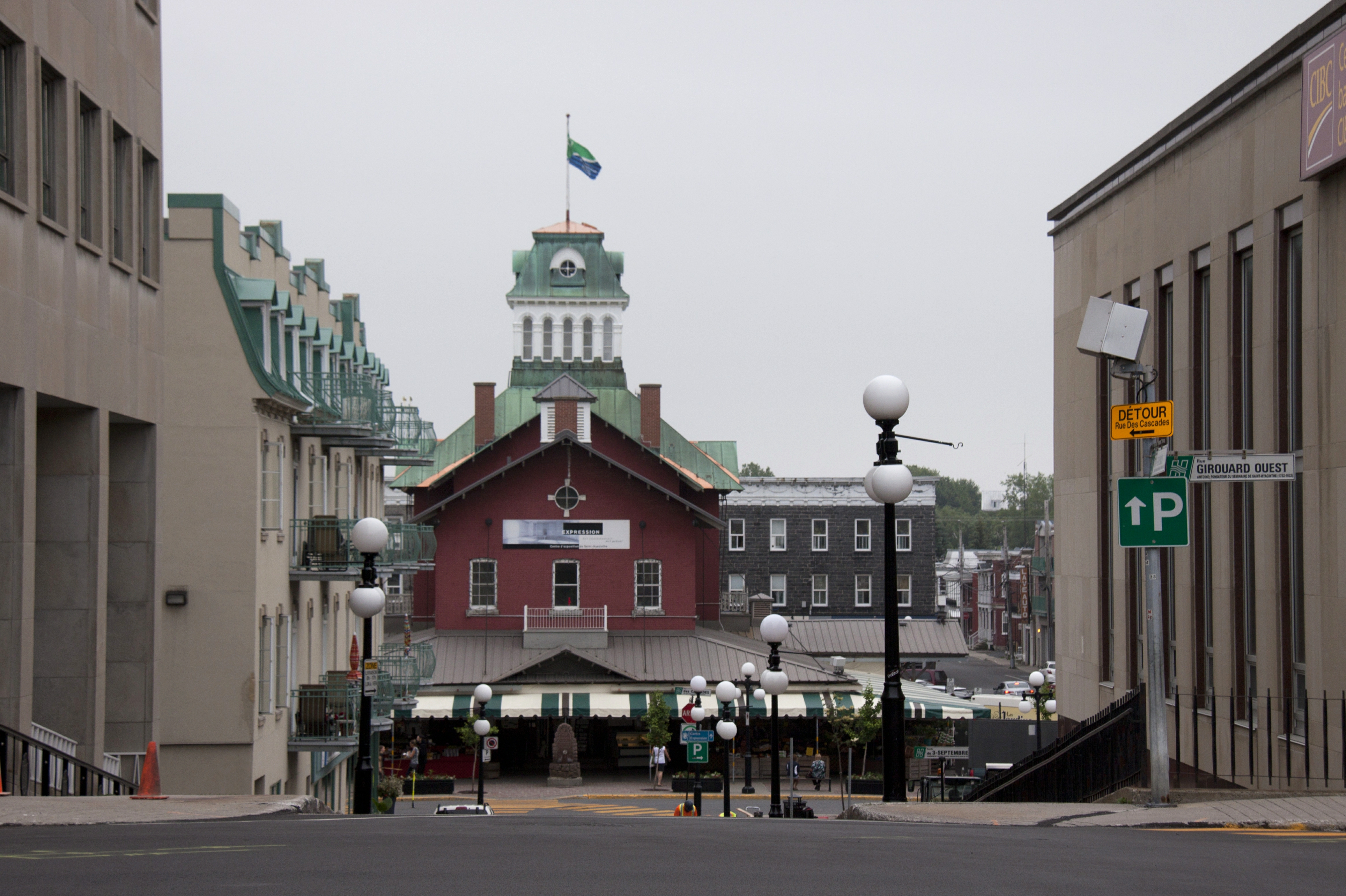
View on the market

Chouette épervière

Chouette épervière

Chouette épervière, 180°

Harfang des neiges_2A5A2994_12
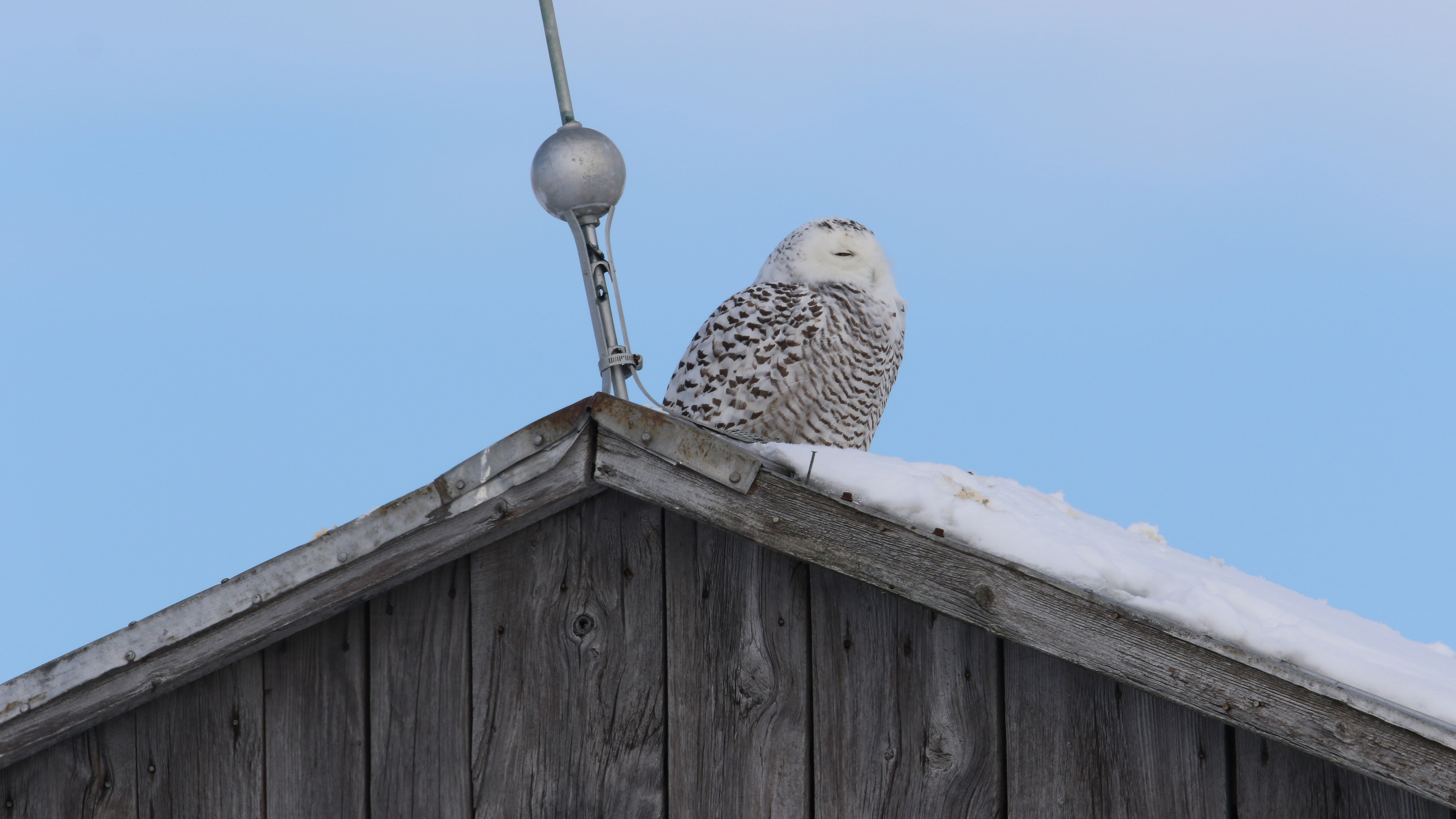
Harfang des neiges_2A5A2974_12

St-Hyacinthe City Hall
st-liboire
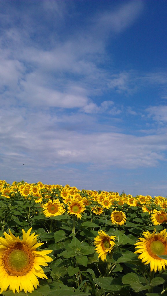
Sunflowers in Upton, Qc

Les tournesols

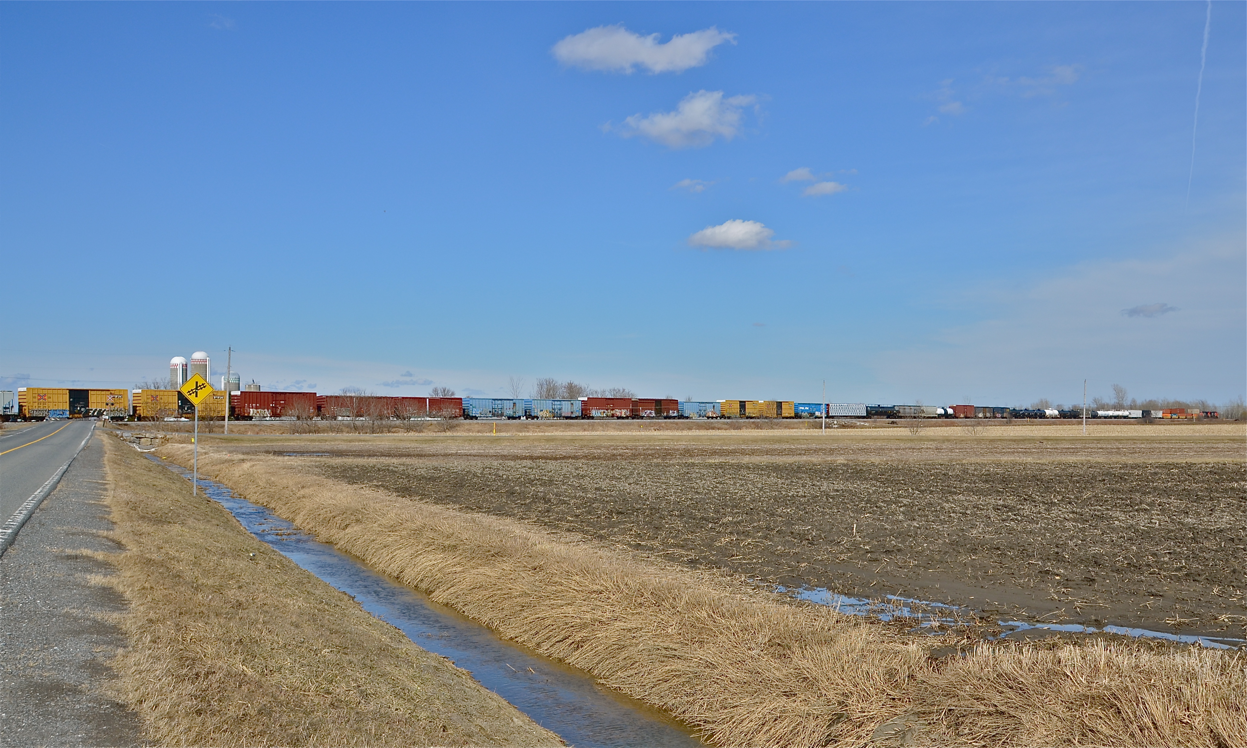
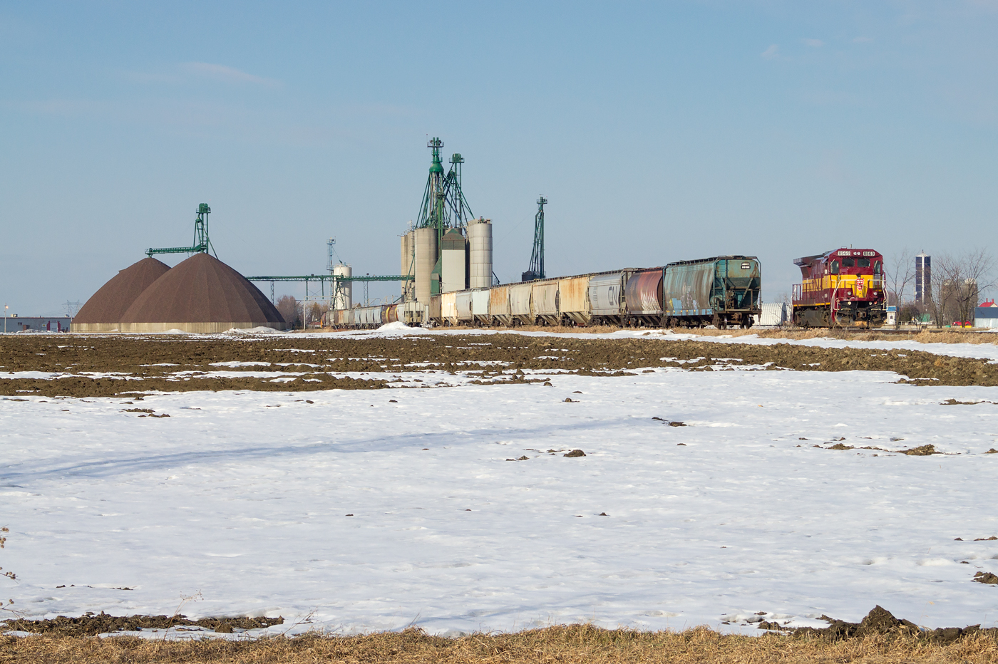
CN 519 @ Saint-Hyacinthe, QC
Ma vue des dernières heures: Montreal-Quebec-Montreal-Sherbrooke-Montreal en 36 heures #conférencierentournée @infopresde
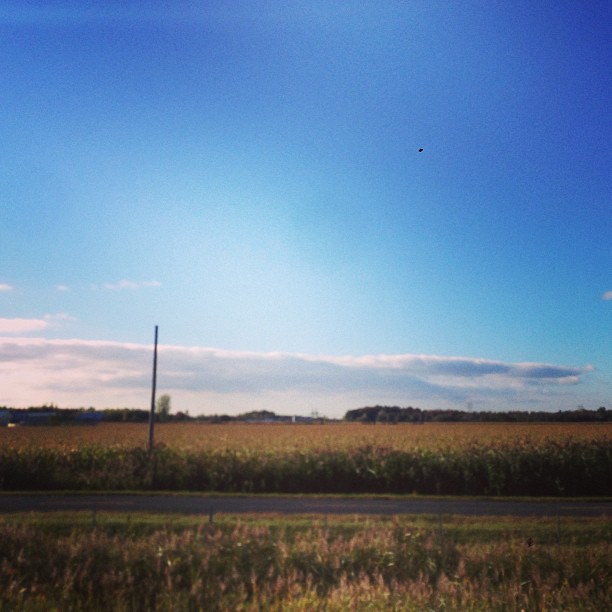
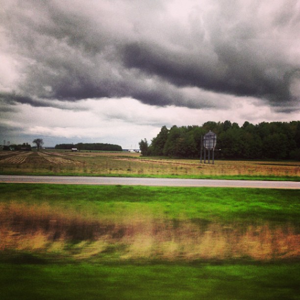
CN 394 stretching towards the horizon
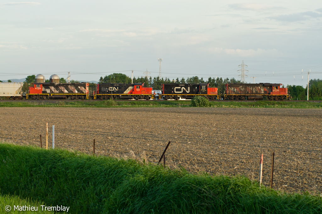
CN 393 @ Saint-Hyacinthe
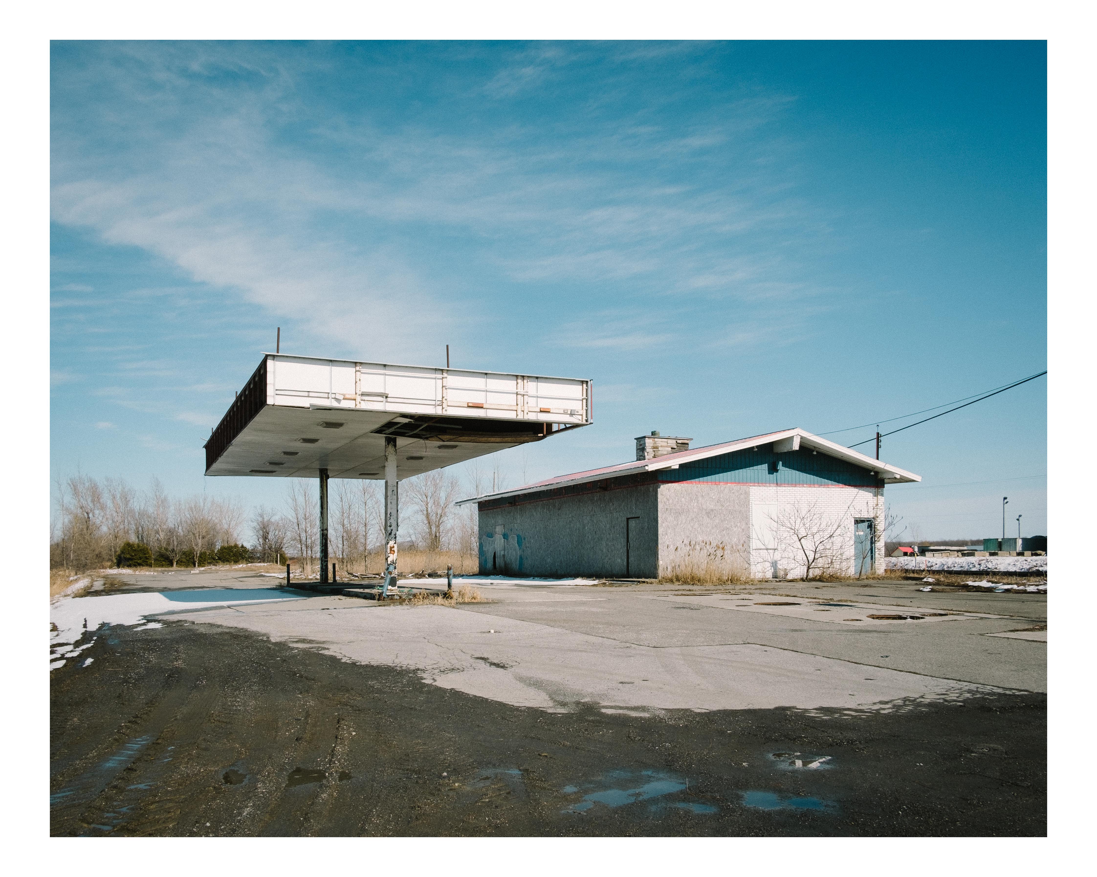
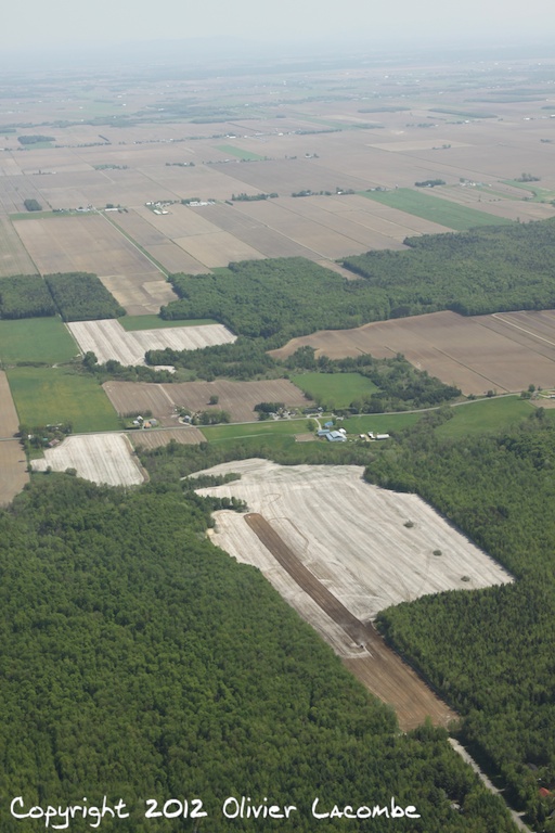
Sur la route.
Le ciel se mire

CN 519 @ Sainte-Rosalie

Saint-Hyacinthe & Rivière Yamaska River DSC_0005 copie

Ferme Champy, Upton QC

Attente (Waiting)
Balade en Robinson R44 C-GCIH

Rivière Yamaska River DSC_9996 copie
MMA 811 @ Sainte-Rosalie, QC
Balade en Robinson R44 C-GCIH
sunset riverside

DSC_2267.jpg
Rivière Yamaska

Ferme Champy, Upton QC
Topographic Map of Saint-Simon, QC, Canada
Find elevation by address:

Places in Saint-Simon, QC, Canada:
Places near Saint-Simon, QC, Canada:
Saint-simon
6 QC-, Saint-Simon, QC J0H, Canada
Rang Saint Édouard, Saint-Liboire, QC J0H 1R0, Canada
Saint-hugues
Saint-hugues
Sainte-hélène-de-bagot
Rue du Cimetière, Saint-Barnabé-Sud, QC J0H 1G0, Canada
Saint-liboire
4e Rang, Saint-Hugues, QC J0H 1N0, Canada
Sainte-hélène-de-bagot
Rue Principale, Sainte-Hélène-de-Bagot, QC J0H 1M0, Canada
Saint-liboire
Rue des Seigneurs E, Saint-Hyacinthe, QC J2R 1Y3, Canada
Les Maskoutains Regional County Municipality
Saint-hyacinthe
5705 Rue Barré
Saint-jude
Saint-jude
Saint-thomas-d'aquin
Rang Brodeur, Saint-Nazaire-d'Acton, QC J0H 1V0, Canada
Recent Searches:
- Elevation of 72-31 Metropolitan Ave, Middle Village, NY, USA
- Elevation of 76 Metropolitan Ave, Brooklyn, NY, USA
- Elevation of Alisal Rd, Solvang, CA, USA
- Elevation of Vista Blvd, Sparks, NV, USA
- Elevation of 15th Ave SE, St. Petersburg, FL, USA
- Elevation of Beall Road, Beall Rd, Florida, USA
- Elevation of Leguwa, Nepal
- Elevation of County Rd, Enterprise, AL, USA
- Elevation of Kolchuginsky District, Vladimir Oblast, Russia
- Elevation of Shustino, Vladimir Oblast, Russia