Elevation of Saint-Jude, QC, Canada
Location: Canada > Québec > Les Maskoutains Regional County Municipality > Saint-jude >
Longitude: -72.988348
Latitude: 45.772973
Elevation: 31m / 102feet
Barometric Pressure: 101KPa
Elevation Map:
Satellite Map:
Related Photos:

La grande Roue / The Ferris Wheel

St Denis Catholic Church

Richelieu River

rue des seigneurs, saint-hyacinthe

élevages hors-sol, rang sainte-rose, la présentation

saint-barnabé-sud

silo à maïs, rang sainte-rose, la présentation

tracteur, sixième rang, saint-jude

Frozen Moors

Golden Field - 35mm Point and Shoot

Saint-Ours Canal

Light field

Bruant chanteur (Song sparrow)

Saint-Simon, Québec // rivière Yamaska

180629 Chouette à voir! - UQROP de St-Jude-9879

Saint-Simon, Québec // rivière Yamaska

Down river lock of the Saint-Ours Canal
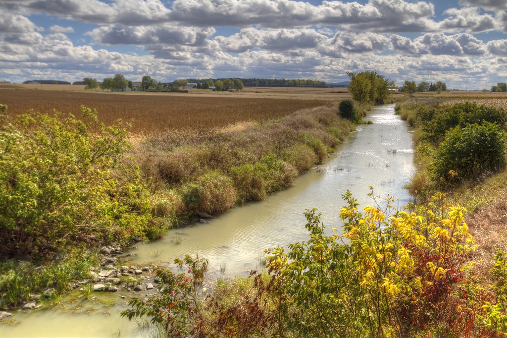
Amyot creek
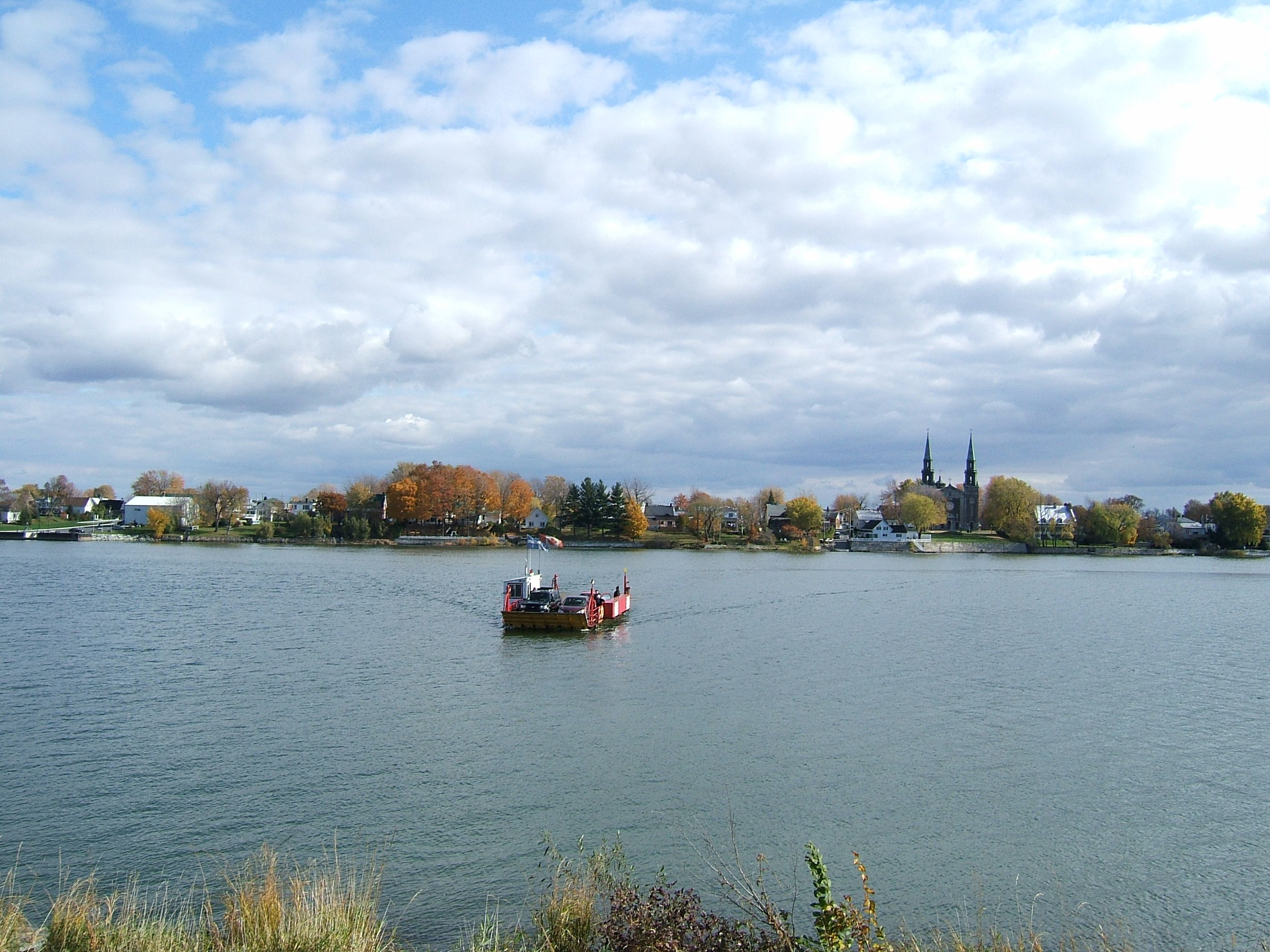
Ferry between St-Antoine and St-Denis on Richelieu river

180629 Village de St-Jude-9826

180629 Chouette à voir! - UQROP de St-Jude-9881
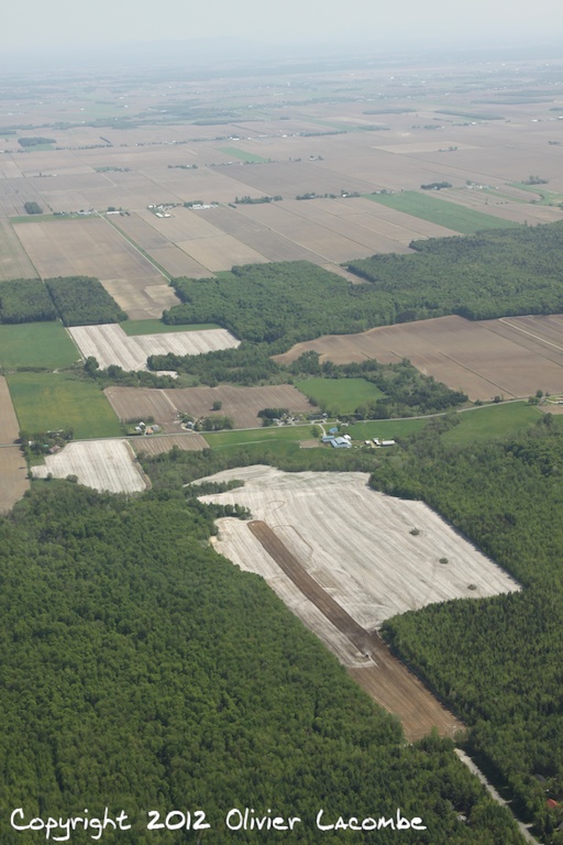
Balade en Robinson R44 C-GCIH

Ferry between St-Antoine and St-Denis on Richelieu river
Topographic Map of Saint-Jude, QC, Canada
Find elevation by address:

Places near Saint-Jude, QC, Canada:
Saint-jude
Rue du Cimetière, Saint-Barnabé-Sud, QC J0H 1G0, Canada
La Présentation
Saint-thomas-d'aquin
6 QC-, Saint-Simon, QC J0H, Canada
5705 Rue Barré
Rue Bouvier, La Présentation, QC J0H 1B0, Canada
Boulevard Laframboise, Saint-Hyacinthe, QC J2R 1C1, Canada
La Présentation
Shell
Saint-simon
Saint-hugues
Saint-hyacinthe
Saint-hugues
4e Rang, Saint-Hugues, QC J0H 1N0, Canada
Saint-simon
Rue des Seigneurs E, Saint-Hyacinthe, QC J2R 1Y3, Canada
Les Maskoutains Regional County Municipality
Saint-robert
Rang Saint Édouard, Saint-Liboire, QC J0H 1R0, Canada
Recent Searches:
- Elevation of Leguwa, Nepal
- Elevation of County Rd, Enterprise, AL, USA
- Elevation of Kolchuginsky District, Vladimir Oblast, Russia
- Elevation of Shustino, Vladimir Oblast, Russia
- Elevation of Lampiasi St, Sarasota, FL, USA
- Elevation of Elwyn Dr, Roanoke Rapids, NC, USA
- Elevation of Congressional Dr, Stevensville, MD, USA
- Elevation of Bellview Rd, McLean, VA, USA
- Elevation of Stage Island Rd, Chatham, MA, USA
- Elevation of Shibuya Scramble Crossing, 21 Udagawacho, Shibuya City, Tokyo -, Japan