Elevation of Saint-Hyacinthe, QC, Canada
Location: Canada > Québec > Les Maskoutains Regional County Municipality >
Longitude: -72.956339
Latitude: 45.6306875
Elevation: 32m / 105feet
Barometric Pressure: 101KPa
Elevation Map:
Satellite Map:
Related Photos:
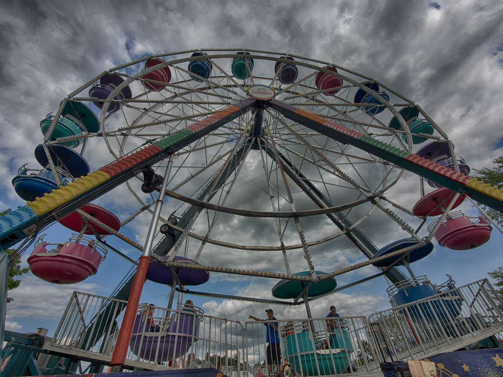
La grande Roue / The Ferris Wheel

Chouette épervière

Graf.

1280x1024 Harvard
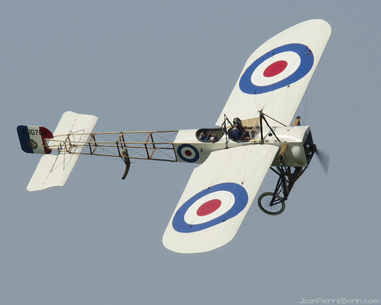
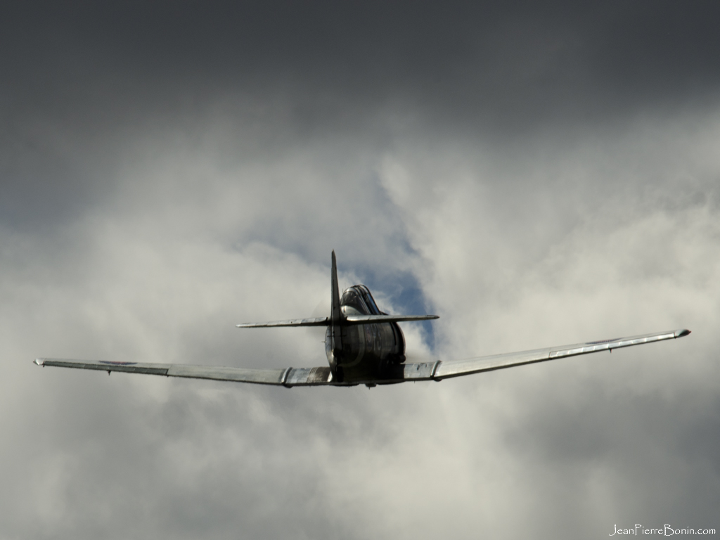
1280x1024 Blériot
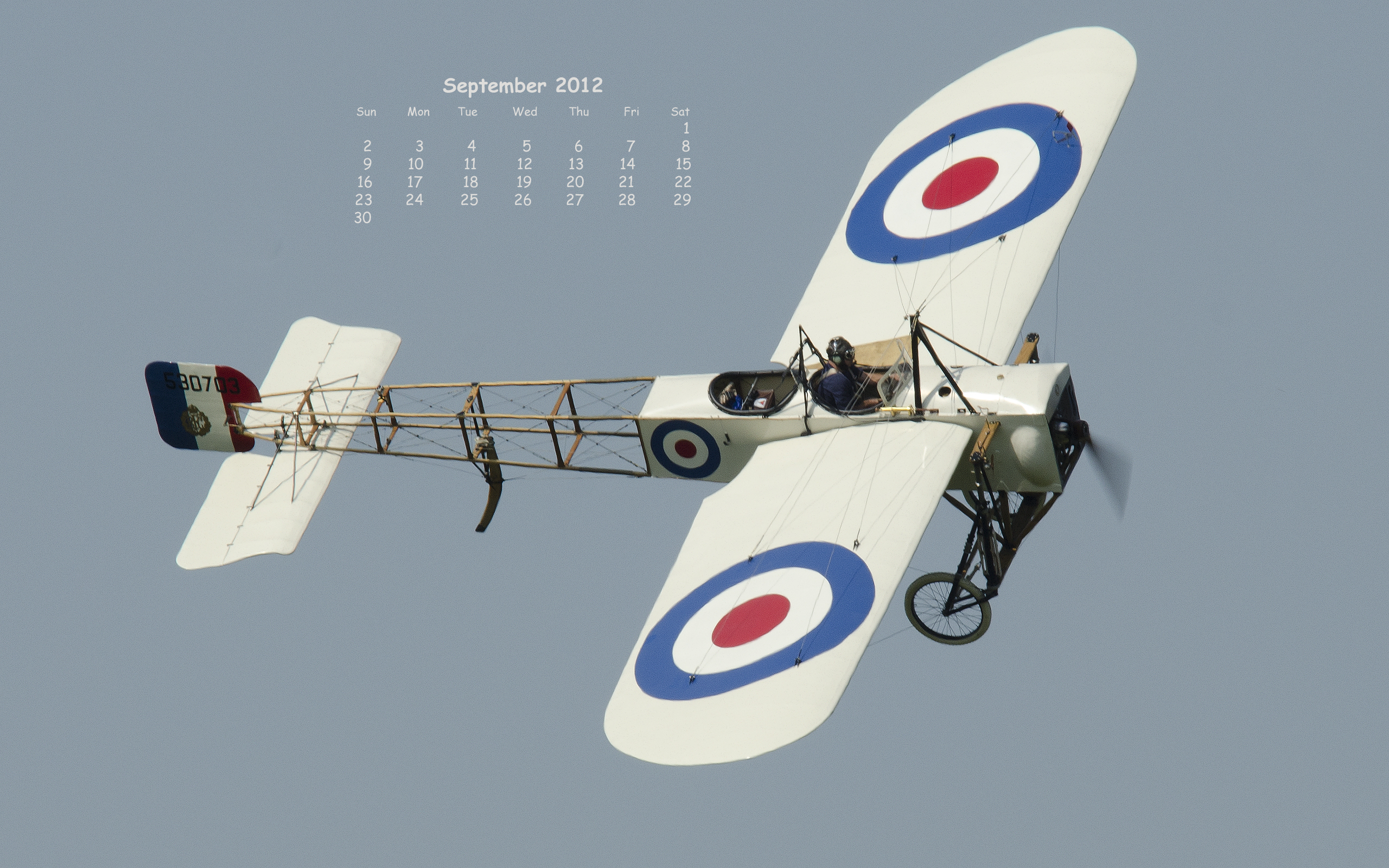
sun-sat 2560x1600 Blériot
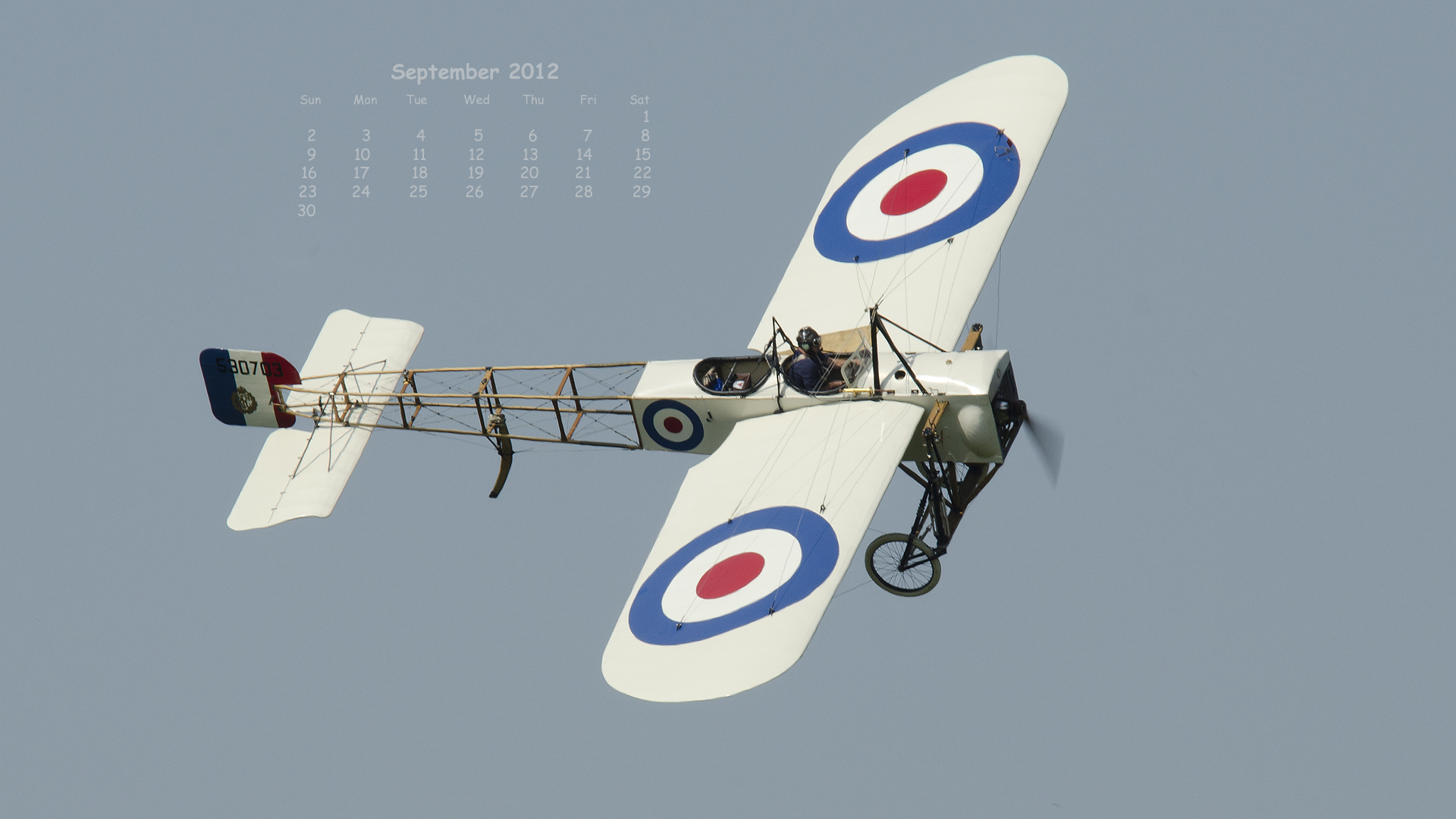
sun-sat 1920x1080 Blériot
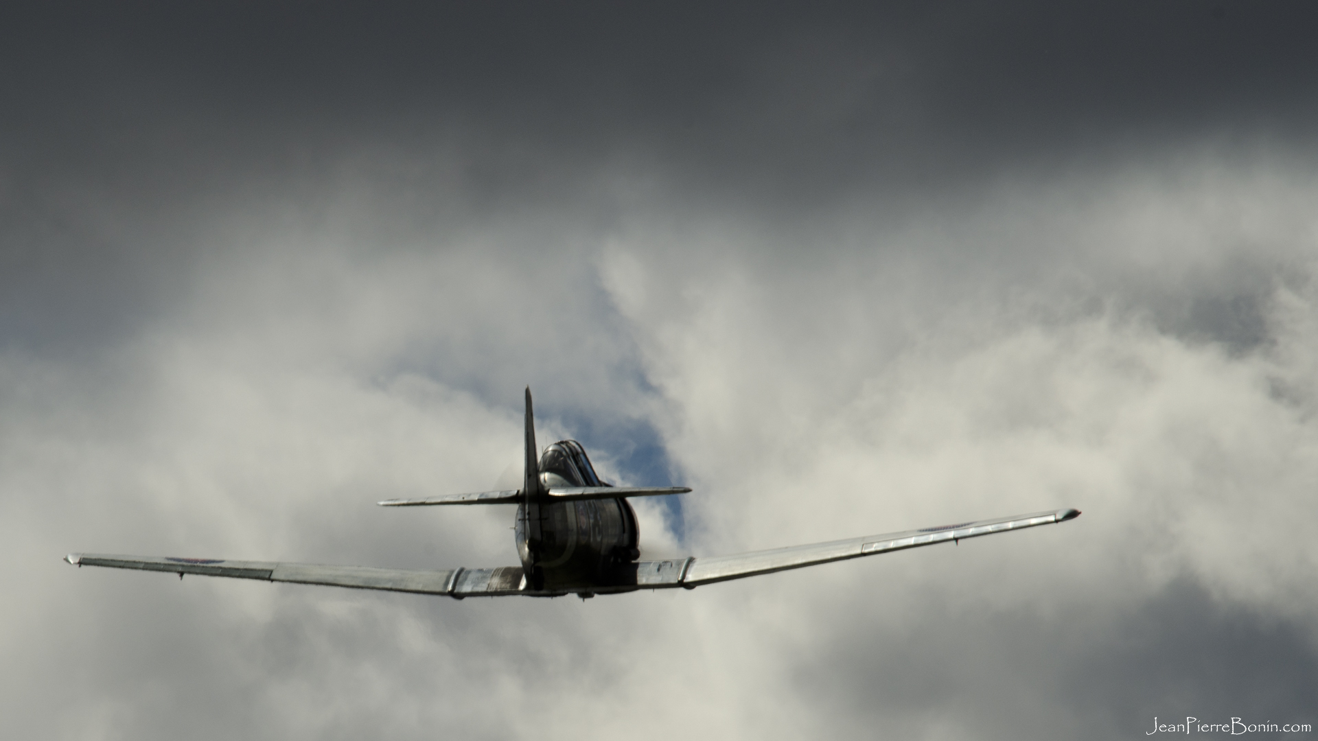
1920x1080 Harvard
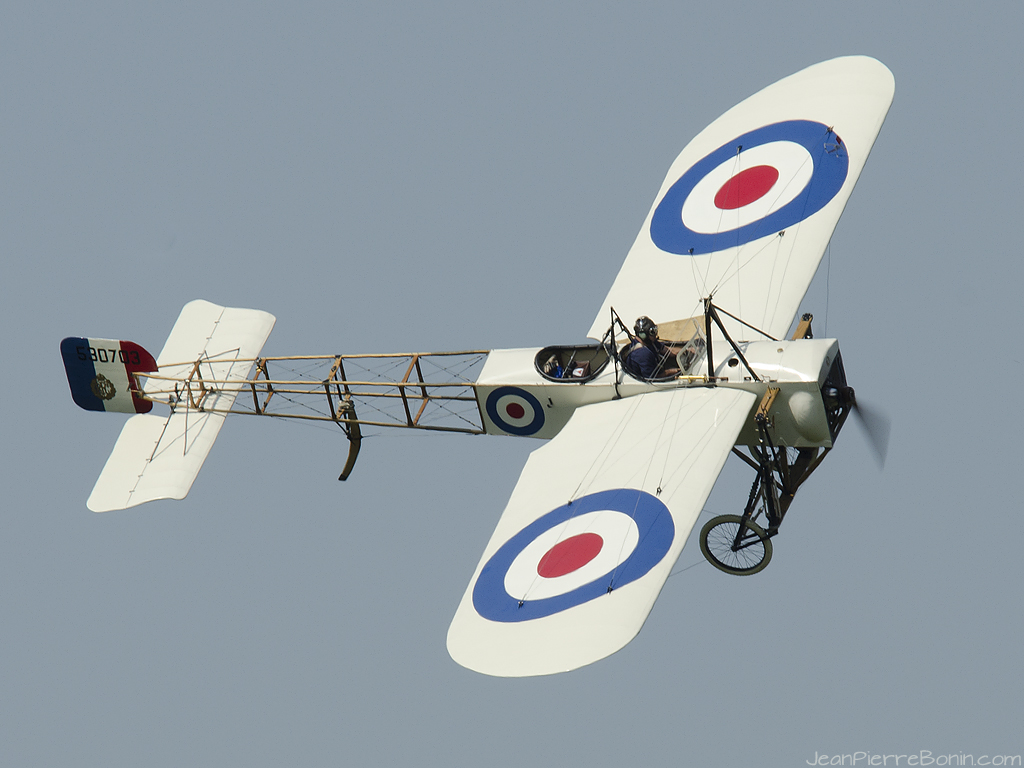
1024x768 Blériot
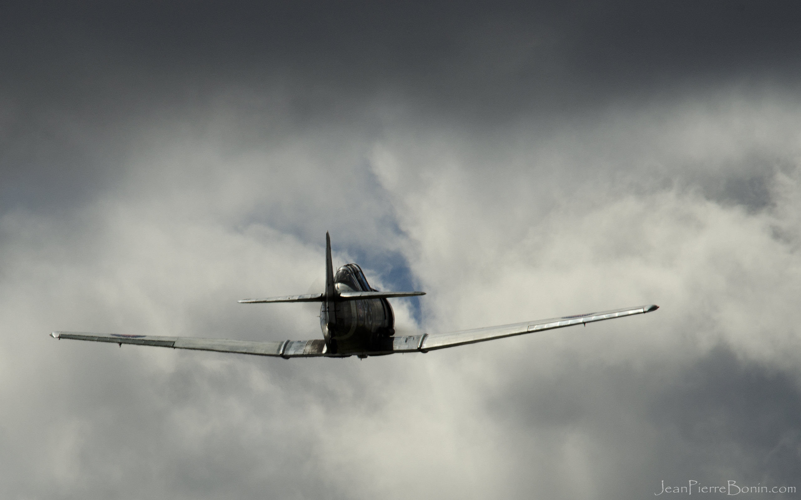
2560x1600 Harvard
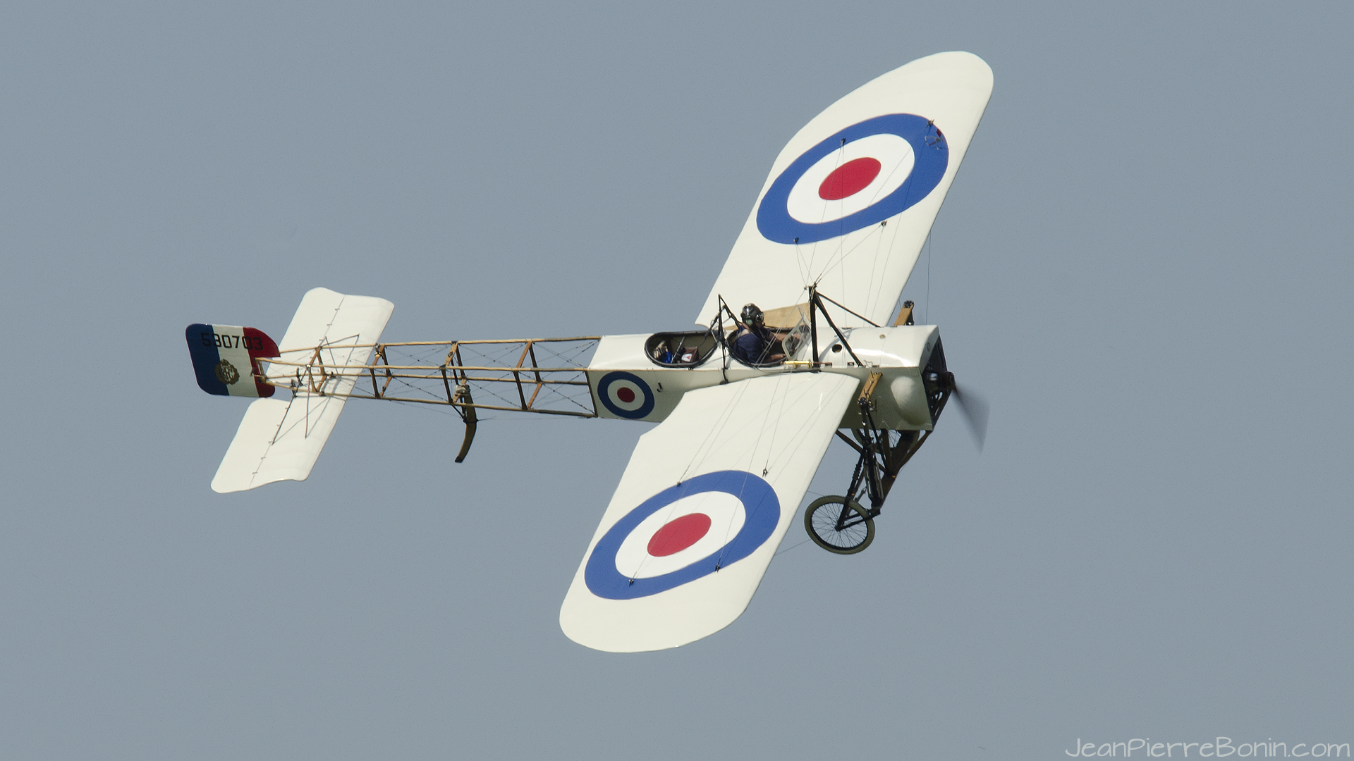
1920x1080 Blériot
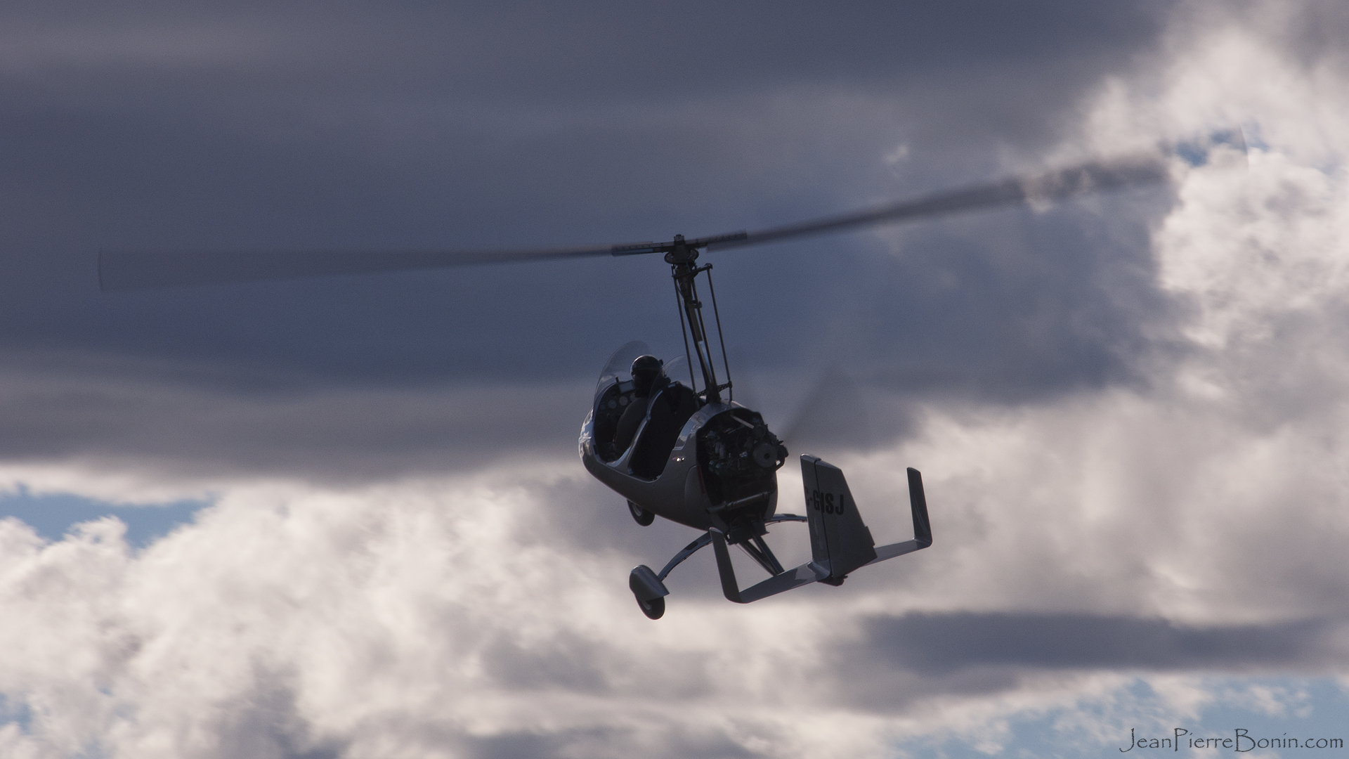
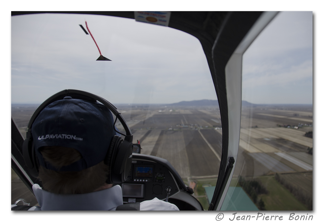
1920x1080 Auto-Gyro

2560x1600 Auto-Gyro
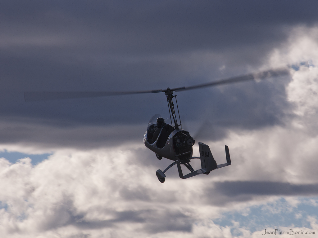
1024x768 Auto-Gyro
1024x768 Harvard
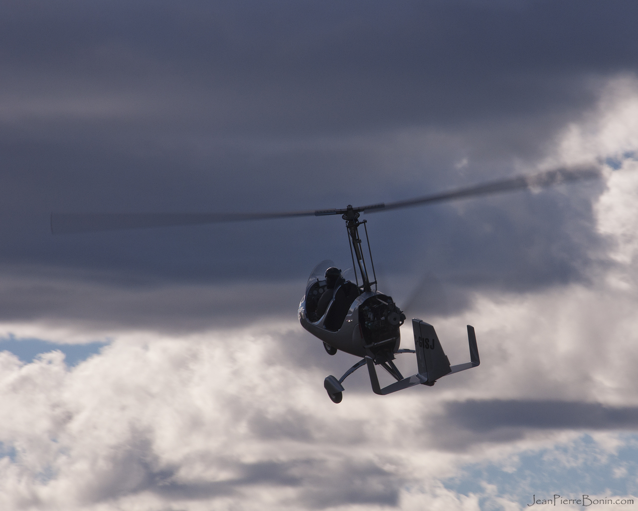
1280x1024 Auto-Gyro
Vue sans obstruction - Unobstructed view DSC_4407 copie
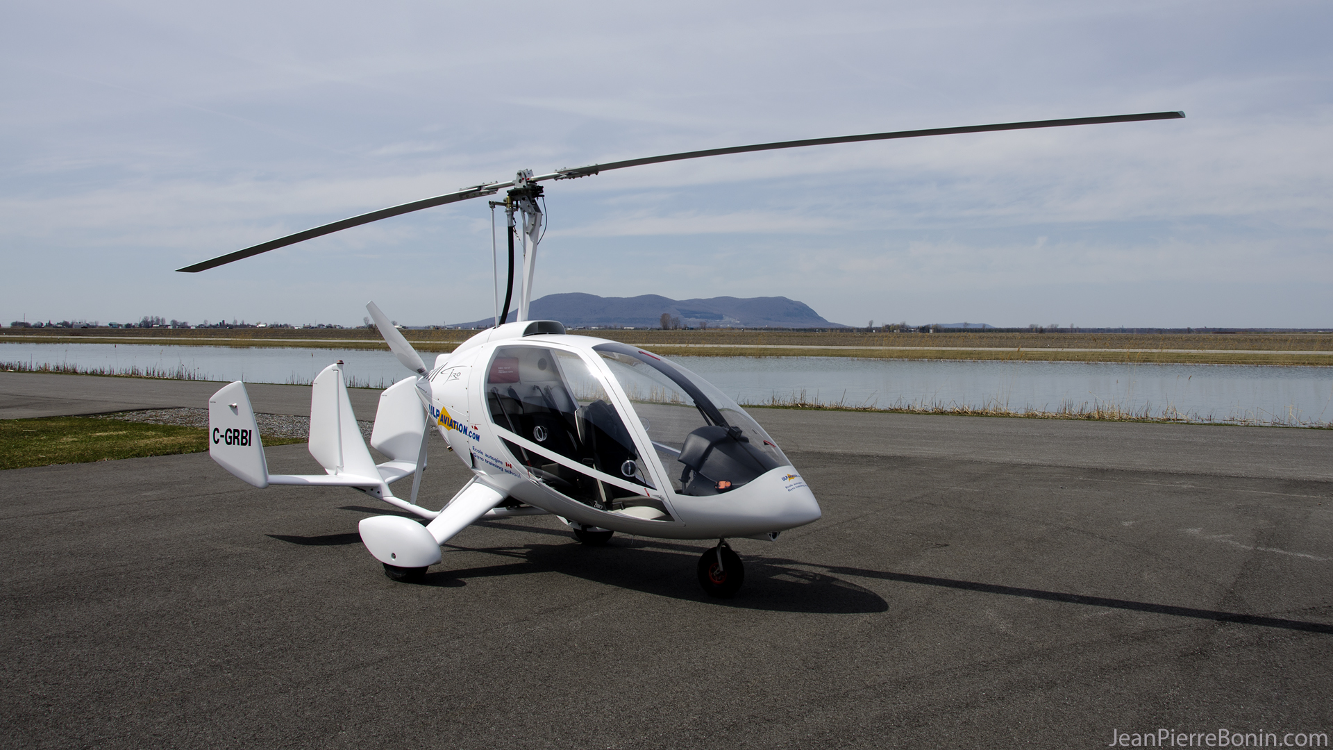
1920x1080 C-GRBI
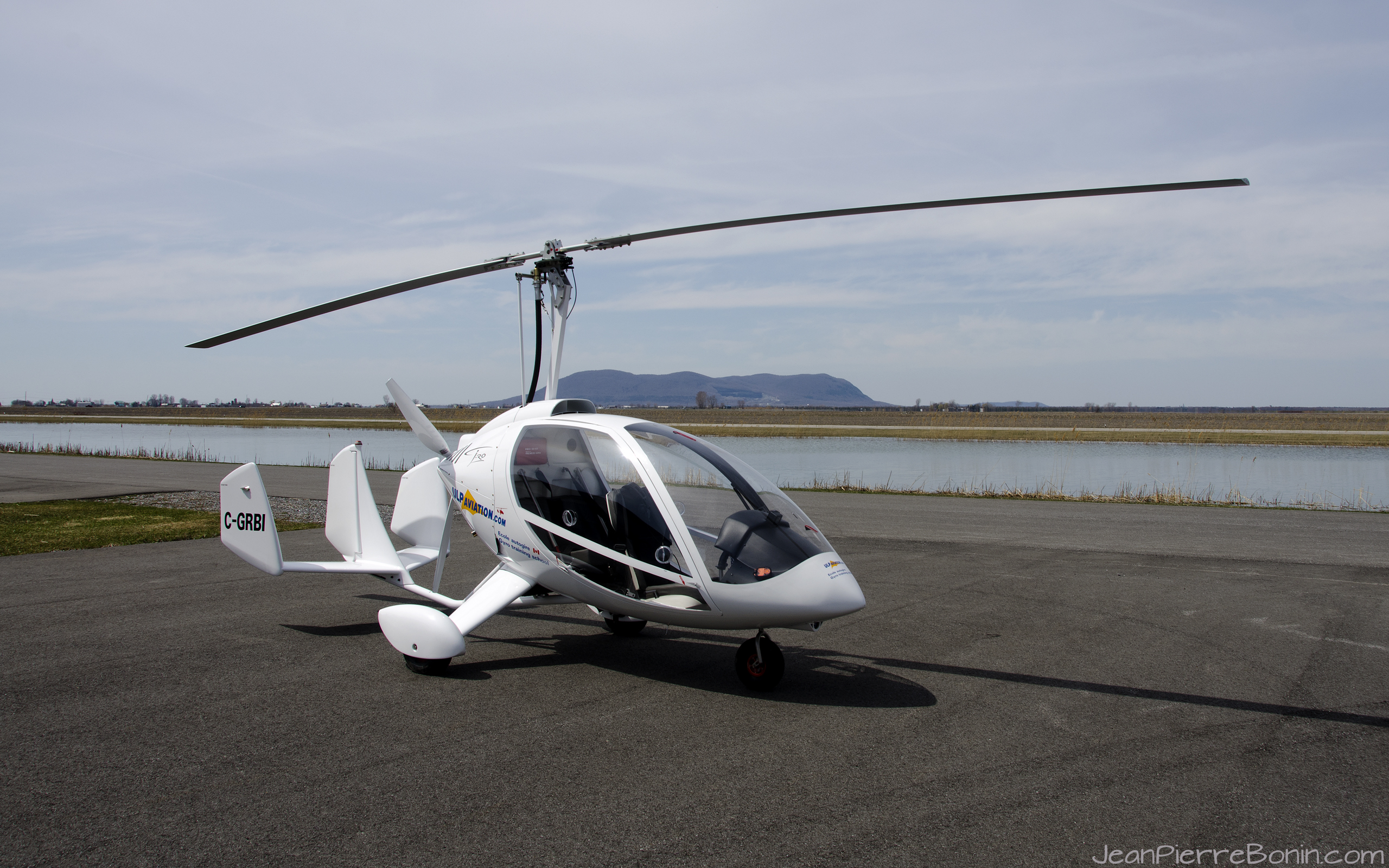
2560x1600 C-GRBI
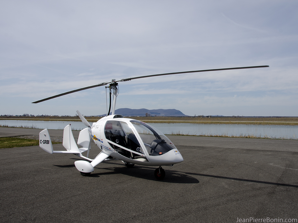
1024x768 C-GRBI
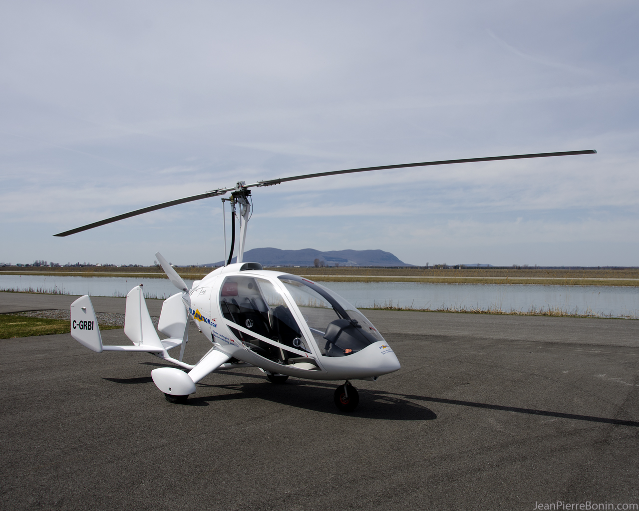
1280x1024 C-GRBI
20140519_163711.jpg
mont st-hilaire

48 de 365
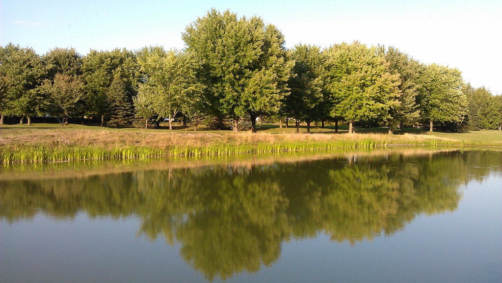
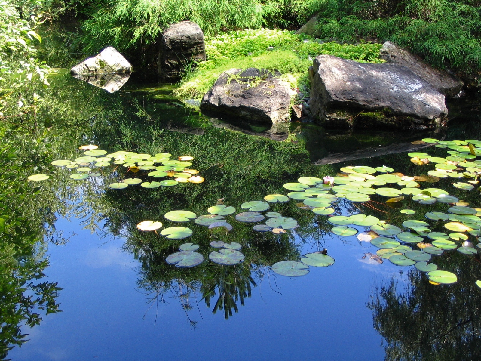
Reflection of trees in water

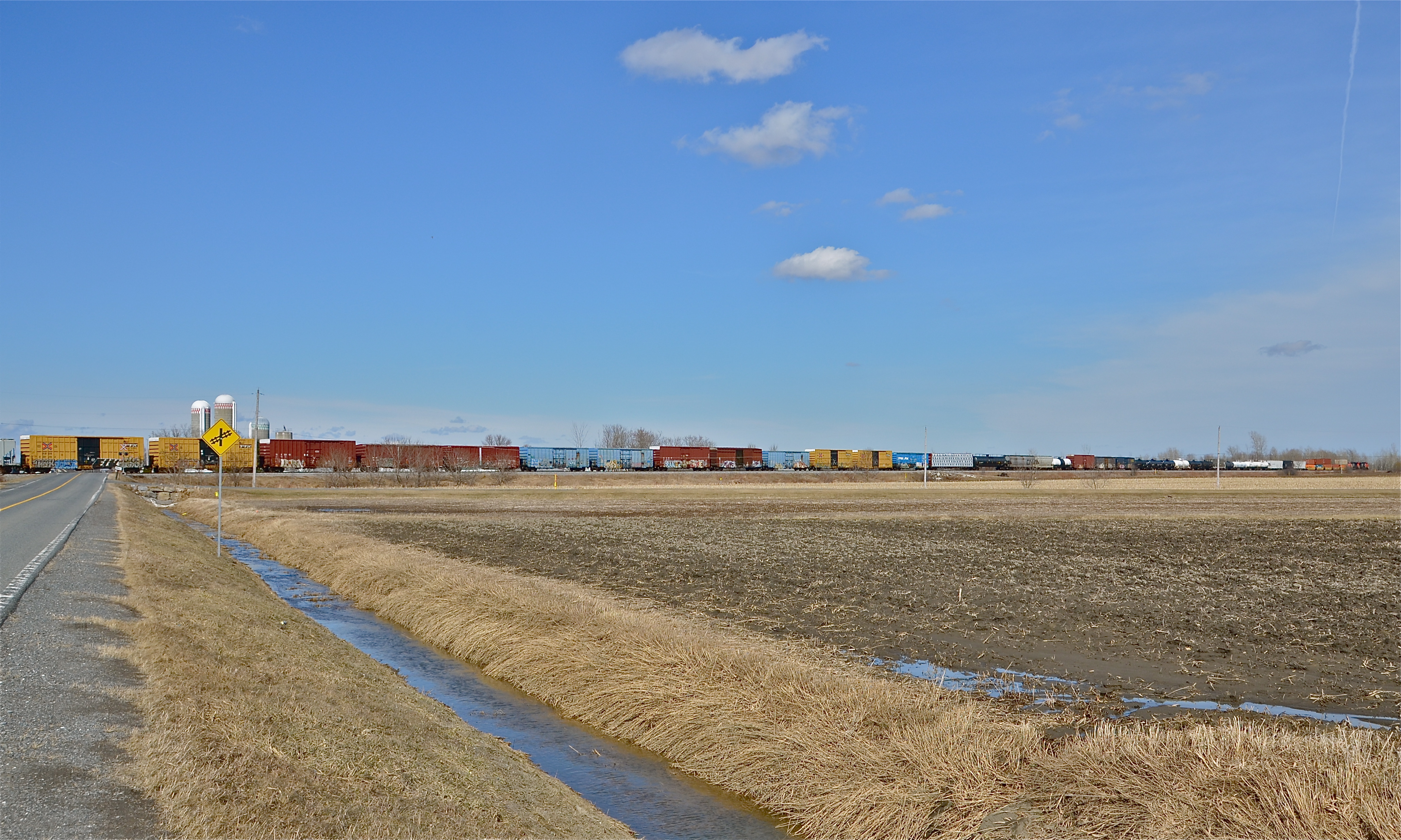
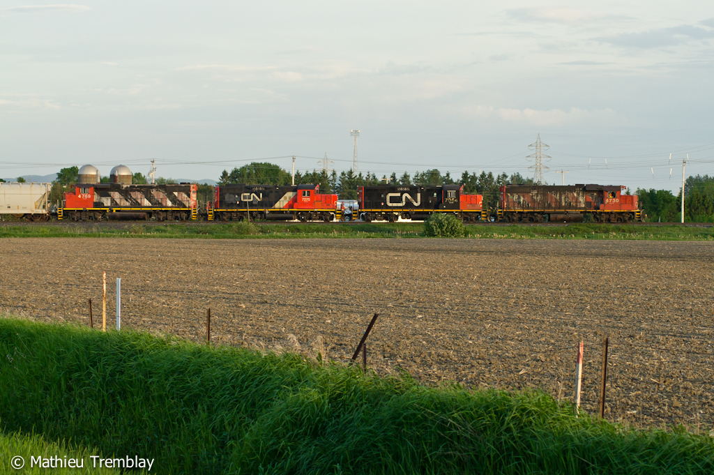
CN 519 @ Saint-Hyacinthe, QC
Desde el monte san hilario
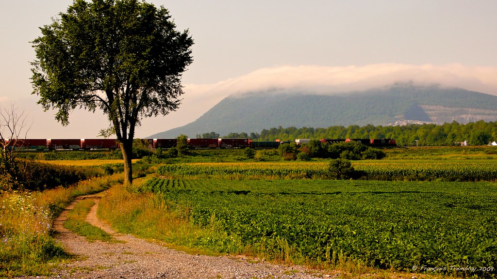
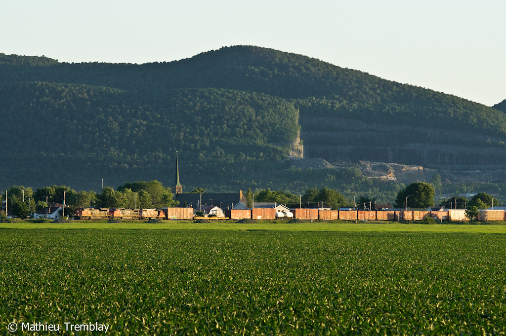
A train passing by the St-Hilaire mountain / Un train passant devant le mont Saint-Hilaire, Québec (P1030739)
CN 394 stretching towards the horizon

VIA 14 @ Sainte-Madeleine
Traces de la patte arrière du Blériot DSC_4609 copie
st-liboire

Montérégie
CN 393 @ Saint-Hyacinthe
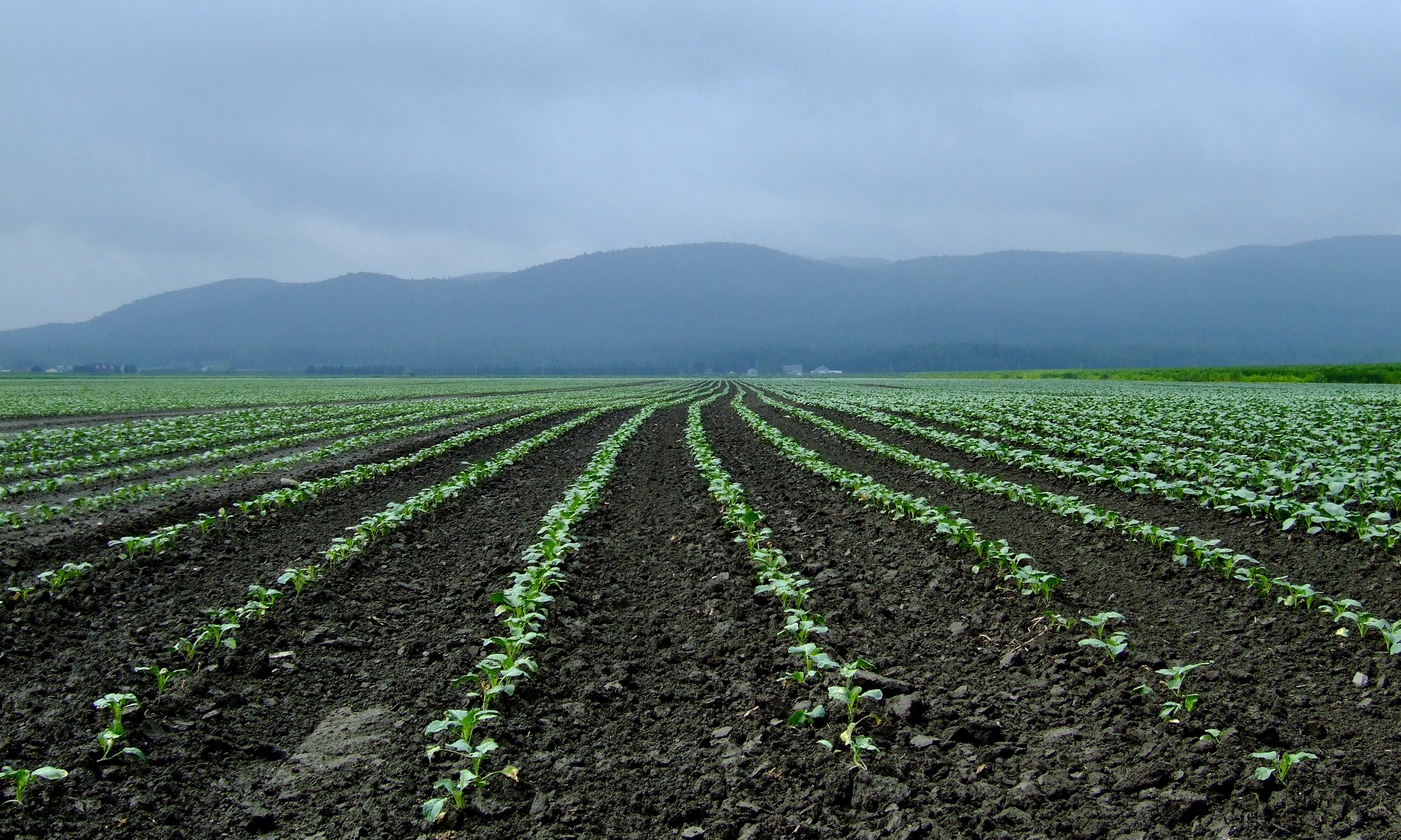
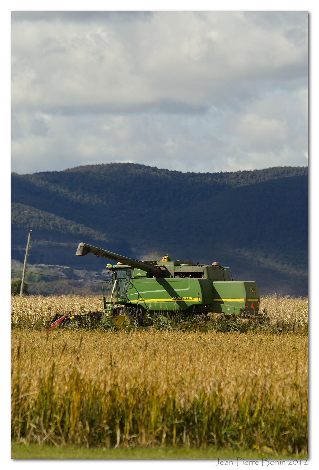
Tous les rangs mènent au mont Rougemont
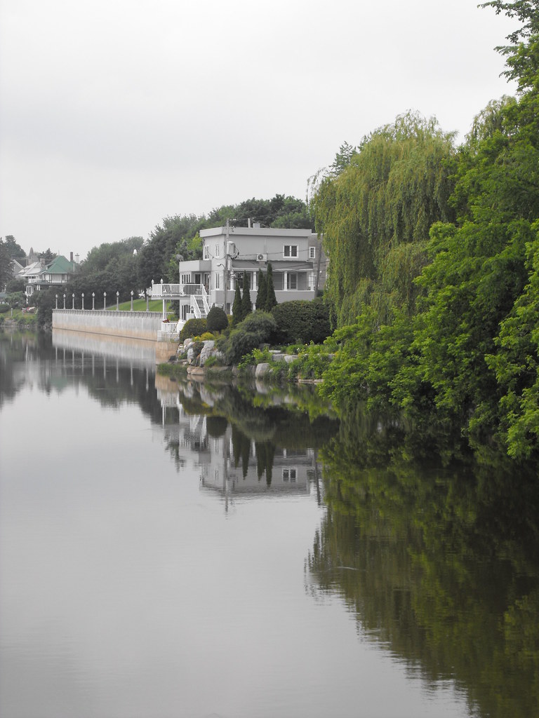
Rivière Yamaska
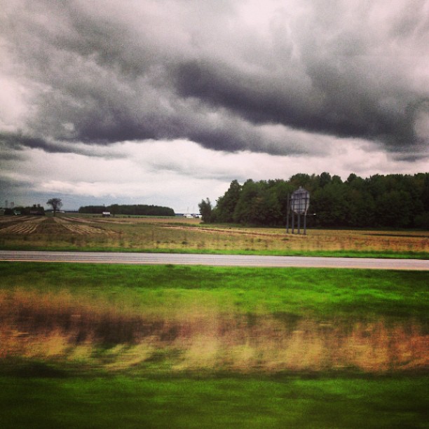
Sur la route.
DSC_7278 copie
Le ciel se mire

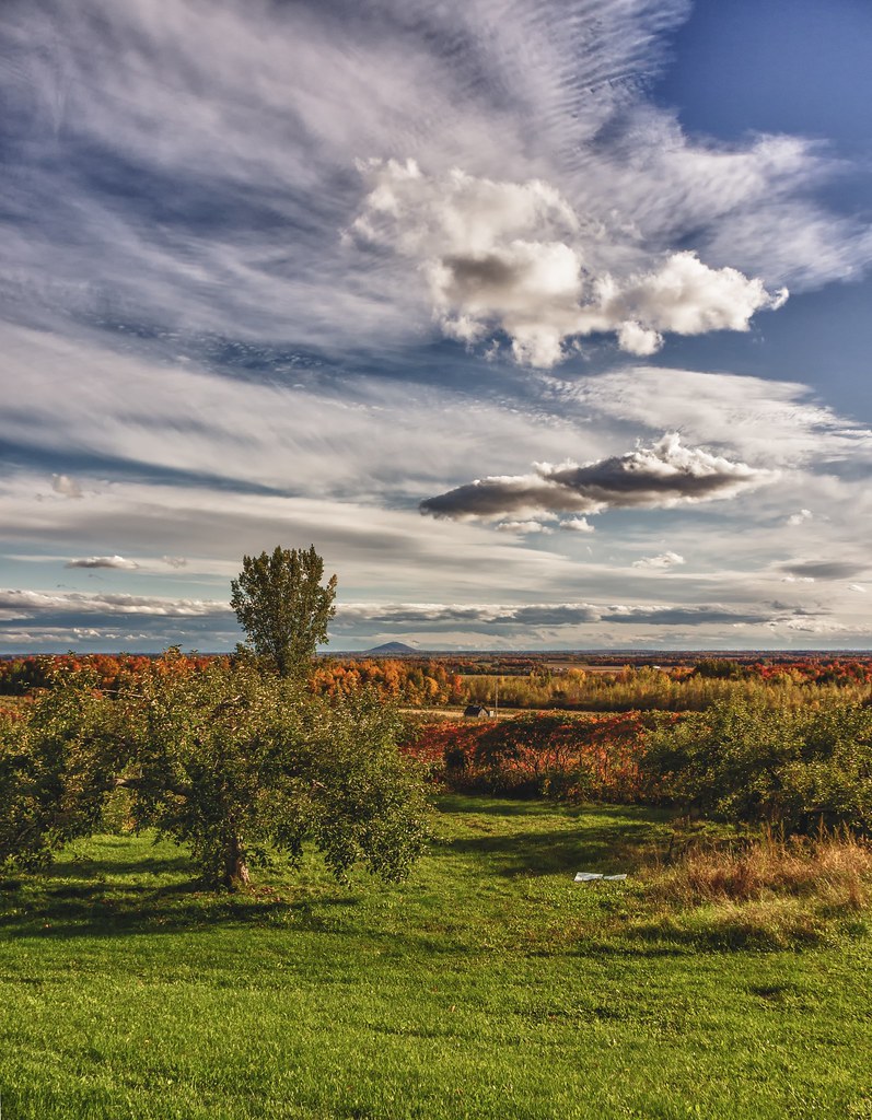
Mont Saint-Hilaire
CN 400 @ Sainte-Madeleine

Montérégie
Topographic Map of Saint-Hyacinthe, QC, Canada
Find elevation by address:

Places in Saint-Hyacinthe, QC, Canada:
Places near Saint-Hyacinthe, QC, Canada:
5705 Rue Barré
Saint-thomas-d'aquin
Boulevard Laframboise, Saint-Hyacinthe, QC J2R 1C1, Canada
Rue des Seigneurs E, Saint-Hyacinthe, QC J2R 1Y3, Canada
Les Maskoutains Regional County Municipality
Shell
Rue Bouvier, La Présentation, QC J0H 1B0, Canada
La Présentation
Rue du Cimetière, Saint-Barnabé-Sud, QC J0H 1G0, Canada
La Présentation
Saint-jude
6 QC-, Saint-Simon, QC J0H, Canada
Saint-simon
299 Rue Chaput
Saint-pie
Saint-jude
1250 Grand Rang St François
Saint-simon
Rang Saint Édouard, Saint-Liboire, QC J0H 1R0, Canada
Mont Rougemont
Recent Searches:
- Elevation of Corso Fratelli Cairoli, 35, Macerata MC, Italy
- Elevation of Tallevast Rd, Sarasota, FL, USA
- Elevation of 4th St E, Sonoma, CA, USA
- Elevation of Black Hollow Rd, Pennsdale, PA, USA
- Elevation of Oakland Ave, Williamsport, PA, USA
- Elevation of Pedrógão Grande, Portugal
- Elevation of Klee Dr, Martinsburg, WV, USA
- Elevation of Via Roma, Pieranica CR, Italy
- Elevation of Tavkvetili Mountain, Georgia
- Elevation of Hartfords Bluff Cir, Mt Pleasant, SC, USA