Elevation of Rang Brodeur, Saint-Nazaire-d'Acton, QC J0H 1V0, Canada
Location: Canada > Québec >
Longitude: -72.663761
Latitude: 45.7516114
Elevation: 79m / 259feet
Barometric Pressure: 100KPa
Elevation Map:
Satellite Map:
Related Photos:
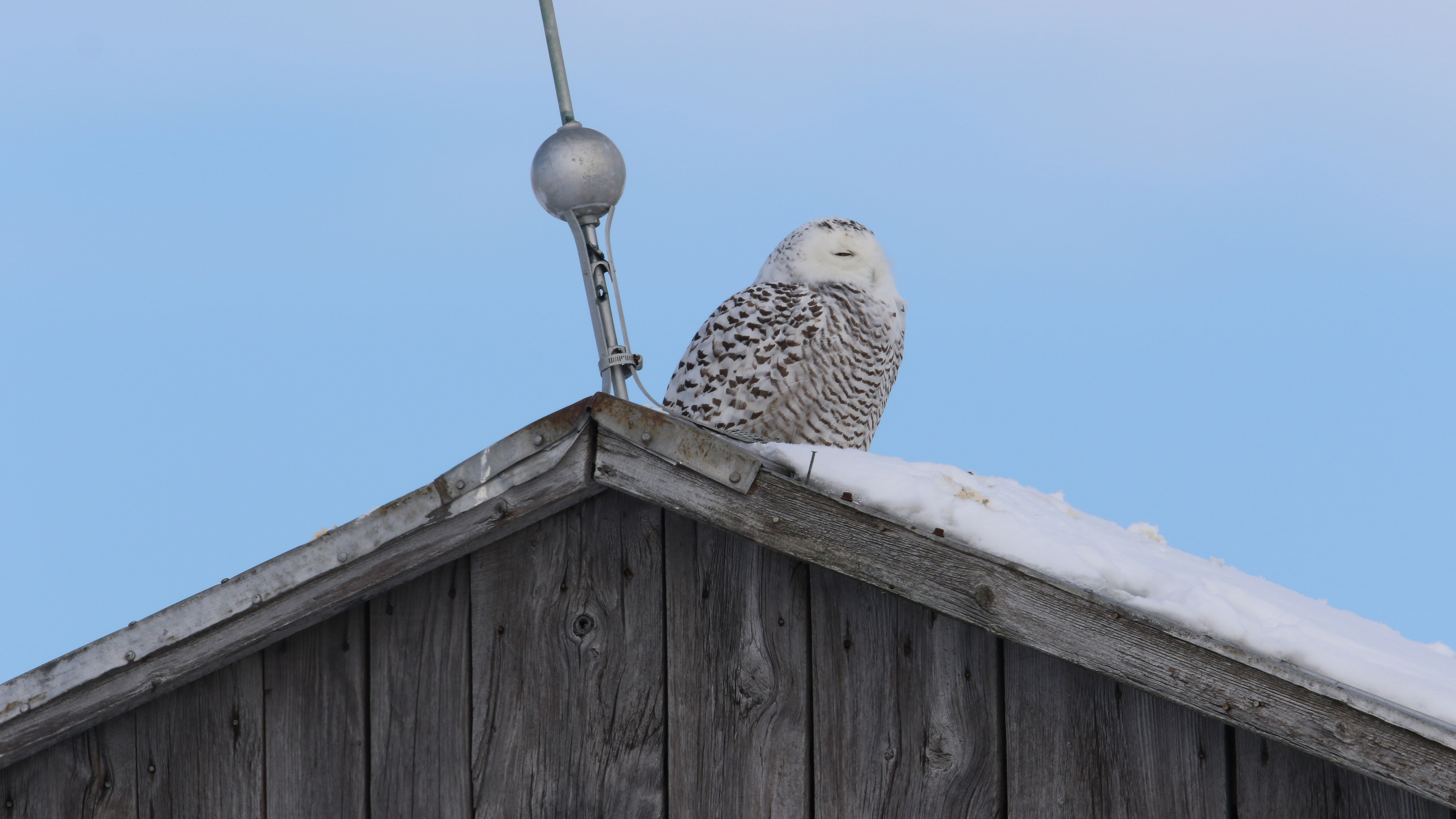
Harfang des neiges_2A5A2974_12

Harfang des neiges_2A5A2994_12
Topographic Map of Rang Brodeur, Saint-Nazaire-d'Acton, QC J0H 1V0, Canada
Find elevation by address:

Places near Rang Brodeur, Saint-Nazaire-d'Acton, QC J0H 1V0, Canada:
Sainte-hélène-de-bagot
Rue Principale, Sainte-Hélène-de-Bagot, QC J0H 1M0, Canada
Sainte-hélène-de-bagot
10 Rang, Saint-Edmond-de-Grantham, QC J0C 1K0, Canada
Saint-germain-de-grantham
Saint-liboire
Saint-liboire
Route Jean De Brébeuf
Route Jean De Brébeuf
Acton Vale
Rang Saint Édouard, Saint-Liboire, QC J0H 1R0, Canada
Wickham
Wickham
252 Rang Lachapelle
Saint-simon
Drummond Regional County Municipality
585 9e Rang E
Saint-hugues
4e Rang, Saint-Hugues, QC J0H 1N0, Canada
1125 Rue Power
Recent Searches:
- Elevation of Corso Fratelli Cairoli, 35, Macerata MC, Italy
- Elevation of Tallevast Rd, Sarasota, FL, USA
- Elevation of 4th St E, Sonoma, CA, USA
- Elevation of Black Hollow Rd, Pennsdale, PA, USA
- Elevation of Oakland Ave, Williamsport, PA, USA
- Elevation of Pedrógão Grande, Portugal
- Elevation of Klee Dr, Martinsburg, WV, USA
- Elevation of Via Roma, Pieranica CR, Italy
- Elevation of Tavkvetili Mountain, Georgia
- Elevation of Hartfords Bluff Cir, Mt Pleasant, SC, USA