Elevation map of Saguache County, CO, USA
Location: United States > Colorado >
Longitude: -106.34637
Latitude: 38.0019623
Elevation: 3183m / 10443feet
Barometric Pressure: 68KPa
Elevation Map:
Satellite Map:
Related Photos:

PanoOutside by Carnero Pass 373-377
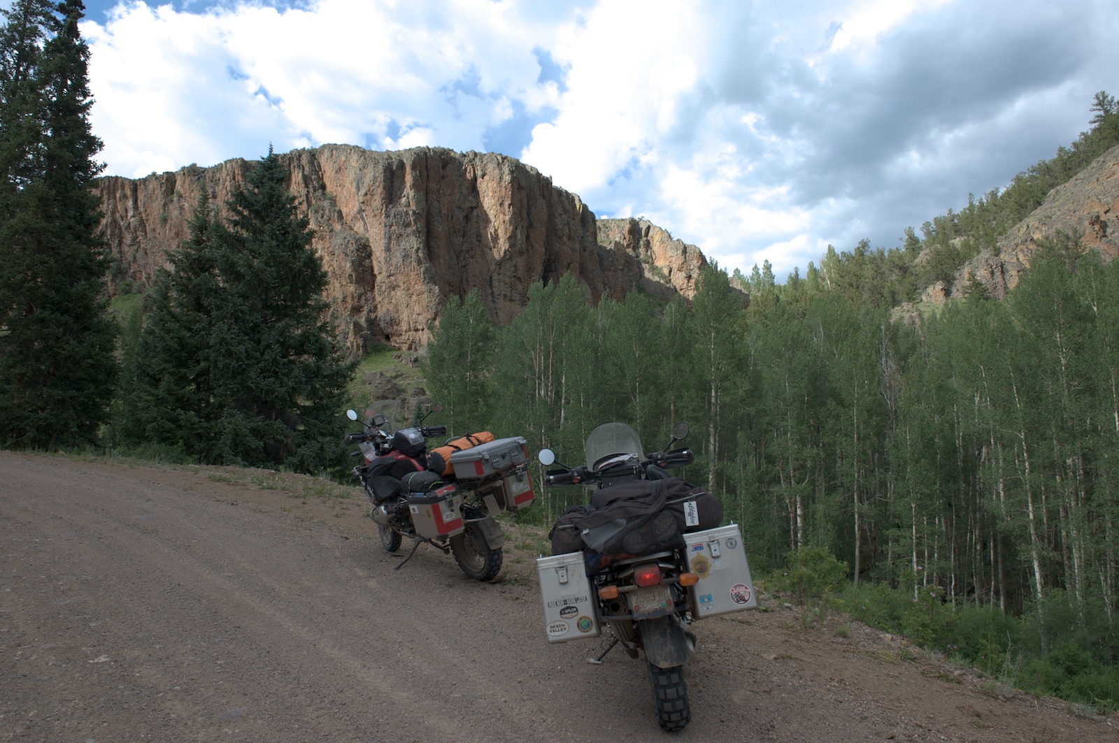
Rock Face

into drier country
Topographic Map of Saguache County, CO, USA
Find elevation by address:

Places in Saguache County, CO, USA:
Places near Saguache County, CO, USA:
Houghland Hill
Trickle Mountain
Road 44.8
45490 Co Rd T
Saguache
48256 Co Rd T
Bonita Hill
Saguache Peak
Colorado 114
Sargents Mesa
Mcintyre Ridge
Baxter Mountain
15 Kerber Creek Sub
Cochetopa Pass
Copper Butte
Parkville
Long Branch Baldy
Bonanza
Windy Peak
10 Farrington Acres
Recent Searches:
- Elevation of Corso Fratelli Cairoli, 35, Macerata MC, Italy
- Elevation of Tallevast Rd, Sarasota, FL, USA
- Elevation of 4th St E, Sonoma, CA, USA
- Elevation of Black Hollow Rd, Pennsdale, PA, USA
- Elevation of Oakland Ave, Williamsport, PA, USA
- Elevation of Pedrógão Grande, Portugal
- Elevation of Klee Dr, Martinsburg, WV, USA
- Elevation of Via Roma, Pieranica CR, Italy
- Elevation of Tavkvetili Mountain, Georgia
- Elevation of Hartfords Bluff Cir, Mt Pleasant, SC, USA