Elevation of d Co Rd G, Del Norte, CO, USA
Location: United States > Colorado > Saguache County >
Longitude: -106.24609
Latitude: 37.8398851
Elevation: 2386m / 7828feet
Barometric Pressure: 76KPa
Elevation Map:
Satellite Map:
Related Photos:
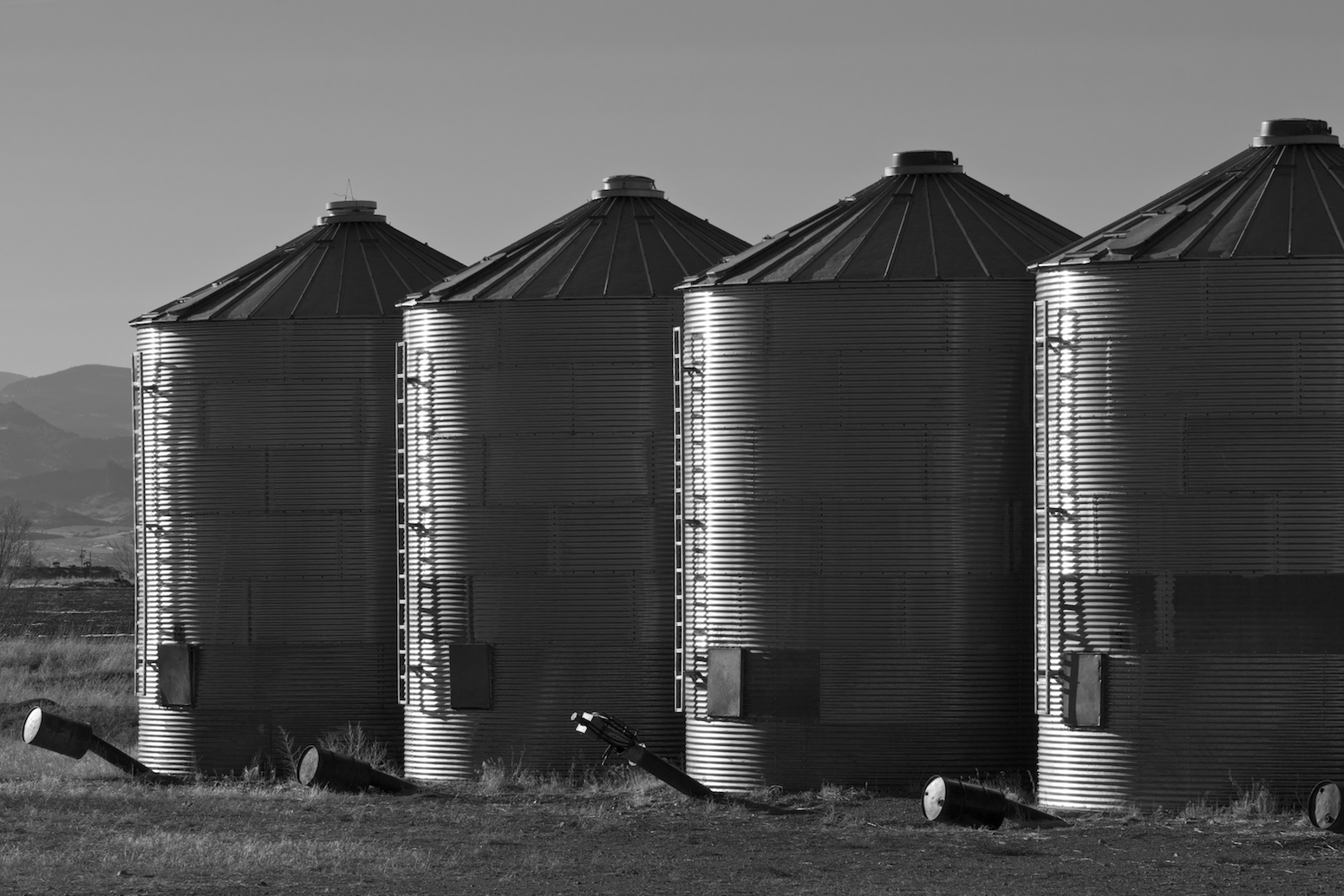
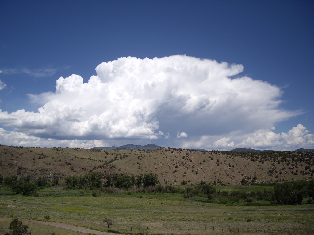
Farming in the San Luis Valley
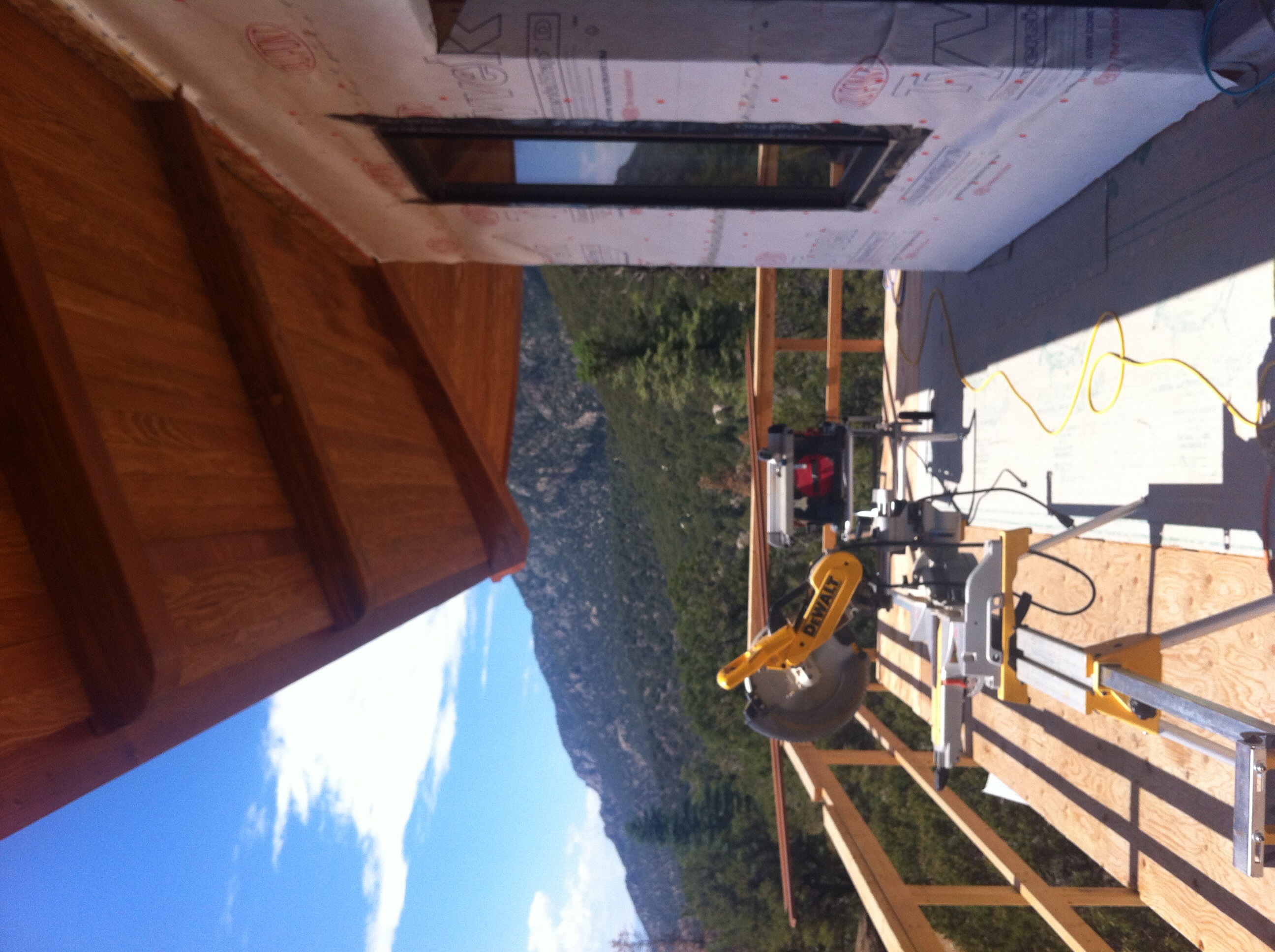
View of the third floor.
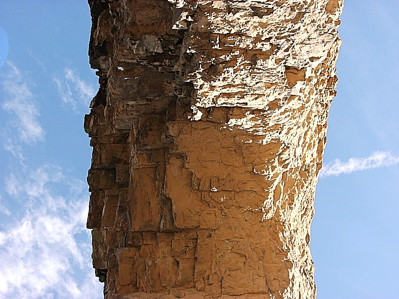
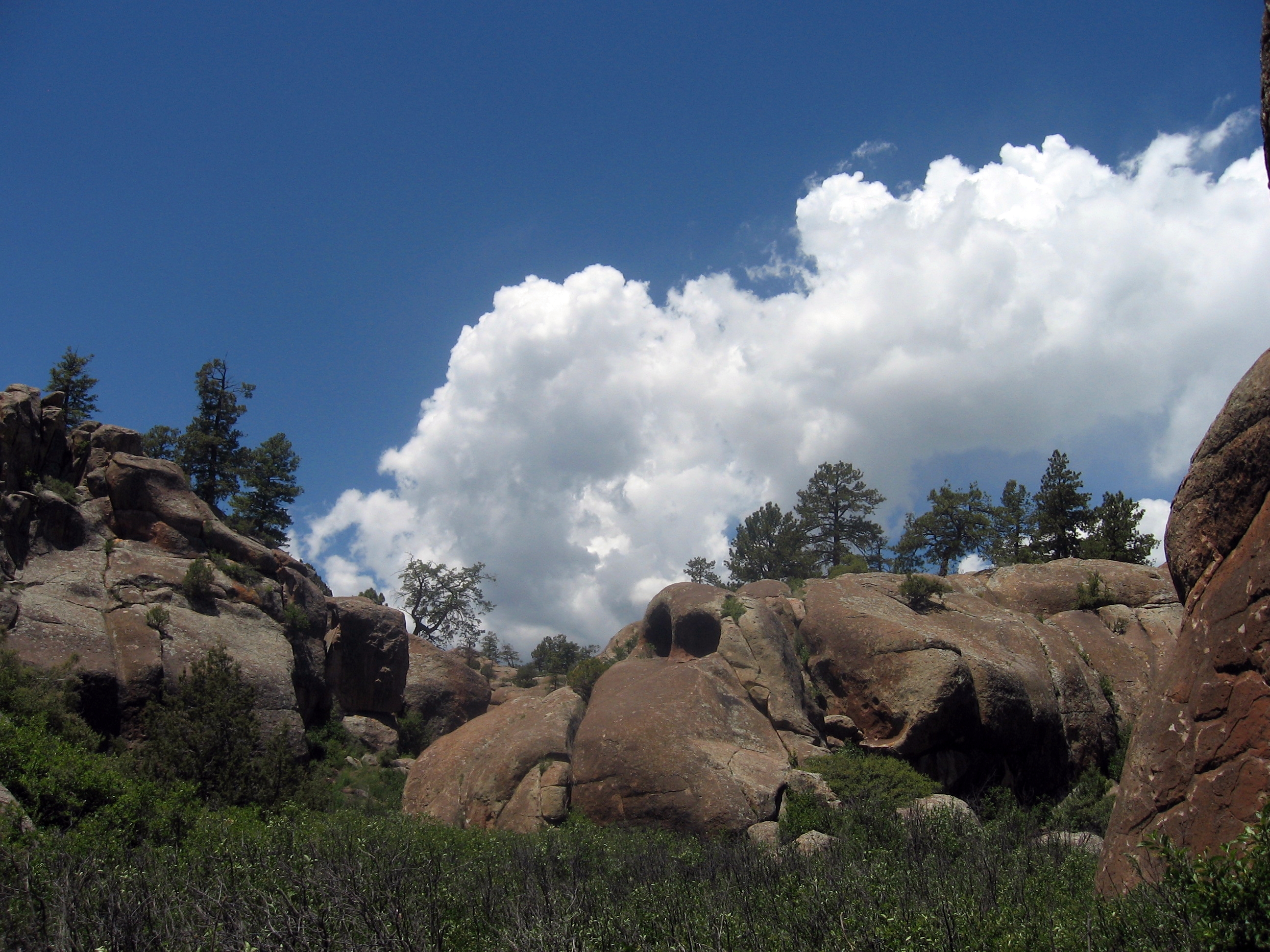
Suspended stone
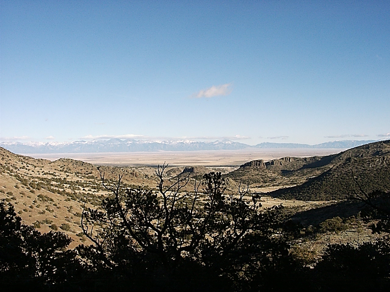
View from La Ventana
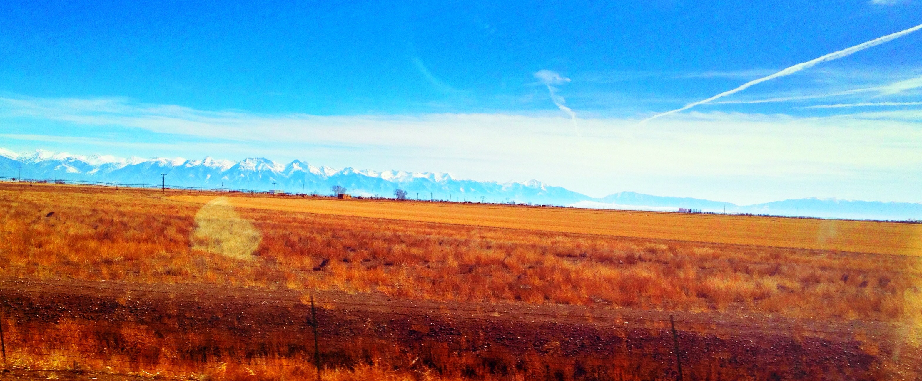
Driving by 14ers
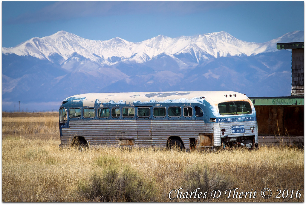
The Church Bus
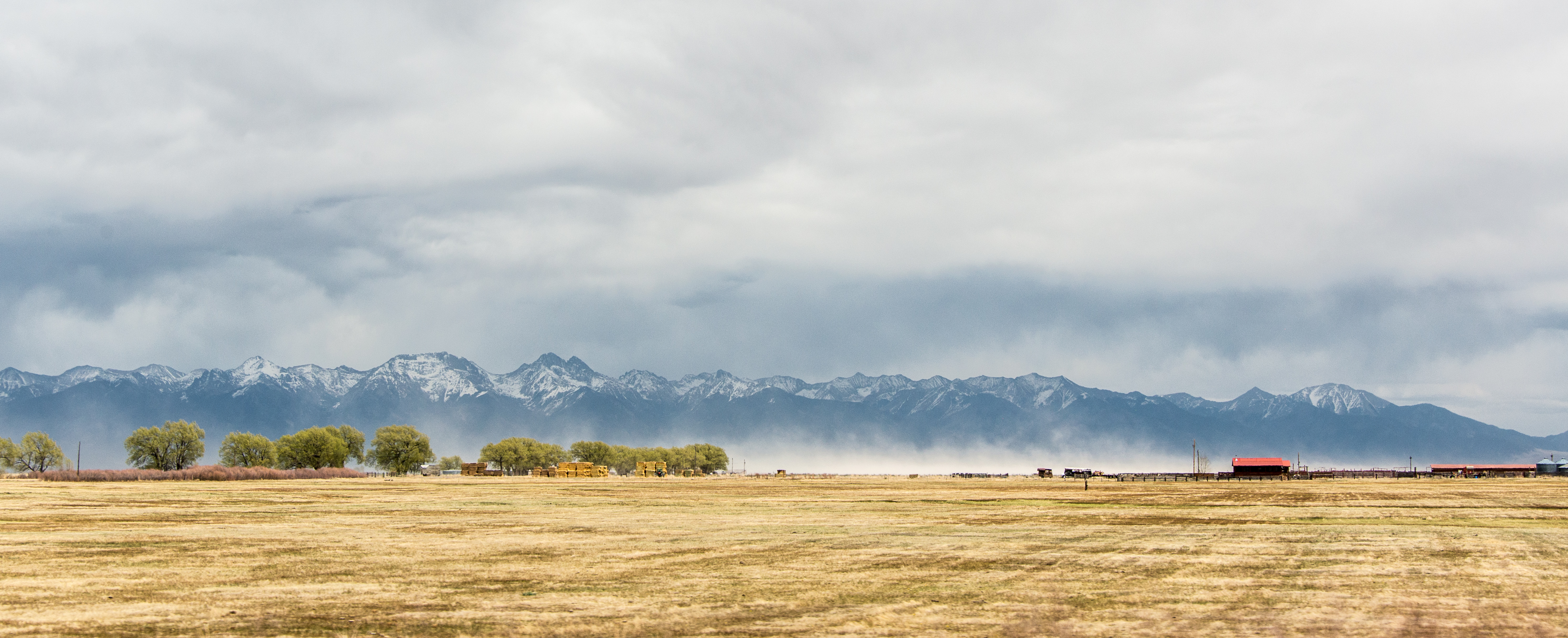
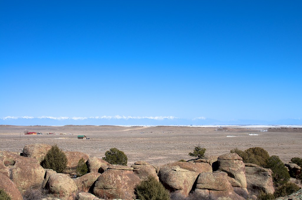
The San Luis Valley and Sangre de Cristo Mountains
Sangre de Cristo Mountains Panorama
La Garita

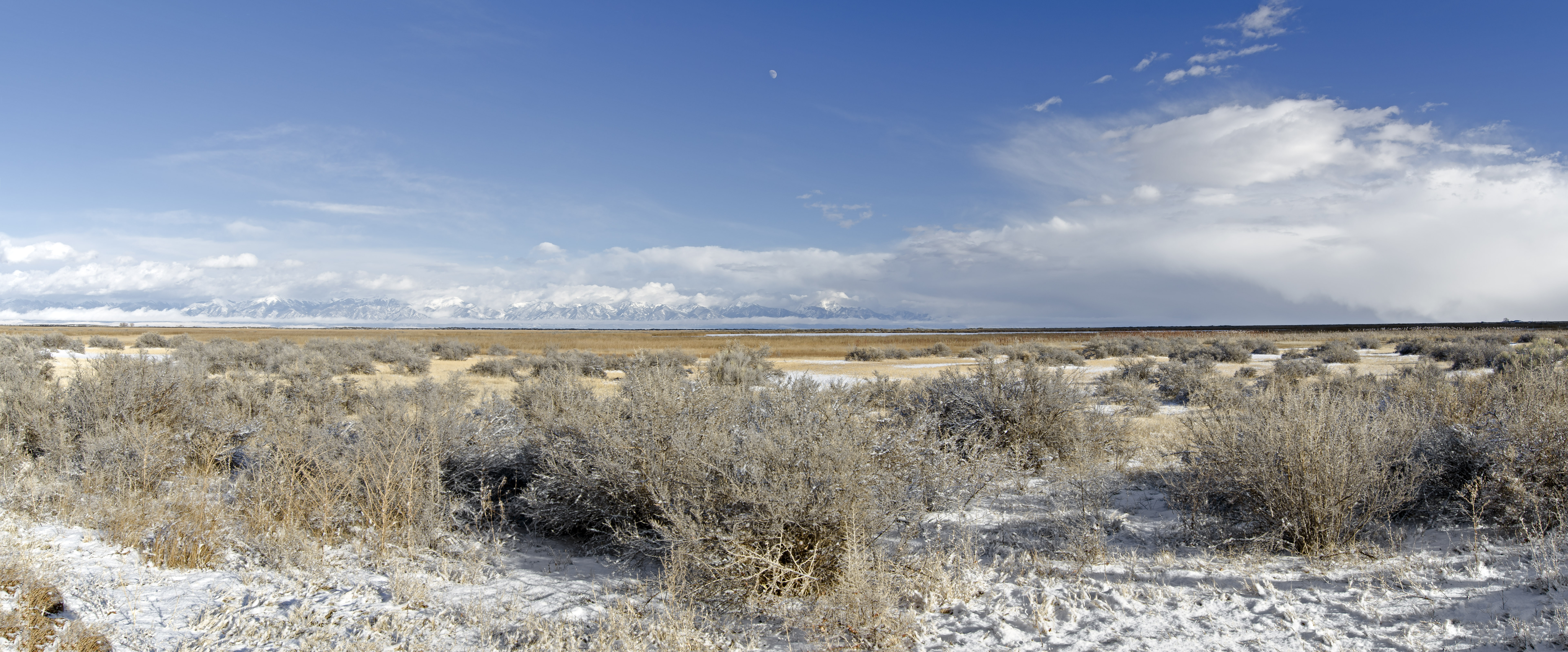
Sangre de Cristo mountain range
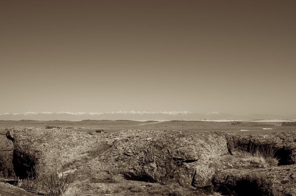
Elephant Rocks, San Luis Valley, Sangre de Cristo, sepia, landscape, rocks
Elephant Rocks
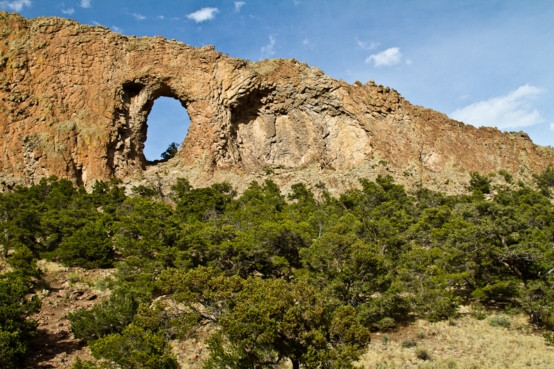
La Garita Natural Arch
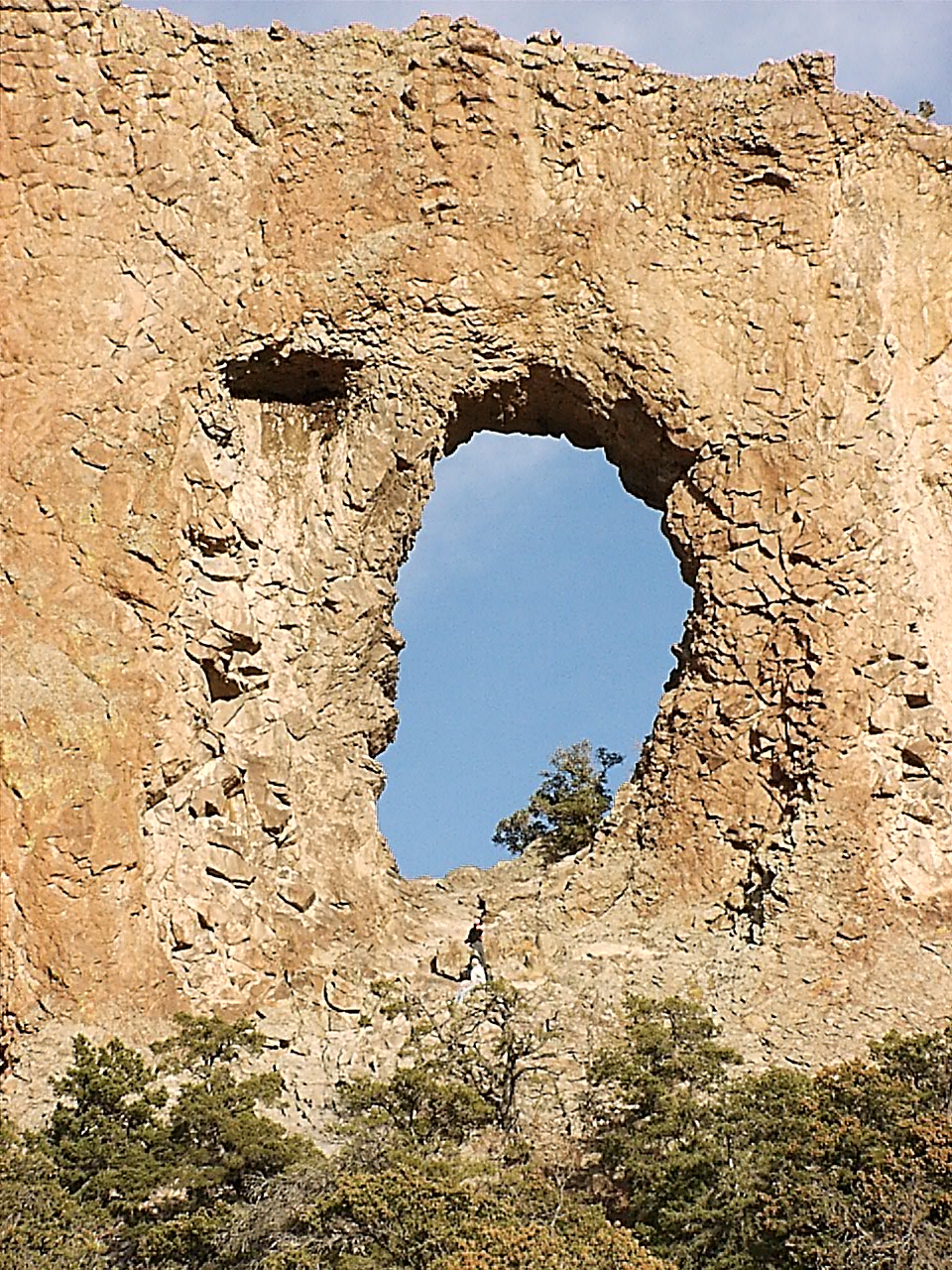
La Ventana, west side
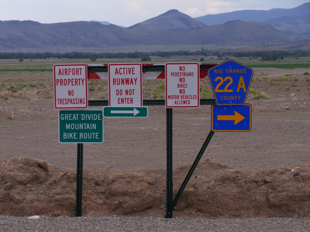
Signs, signs

This is the edge of Del Norte airport
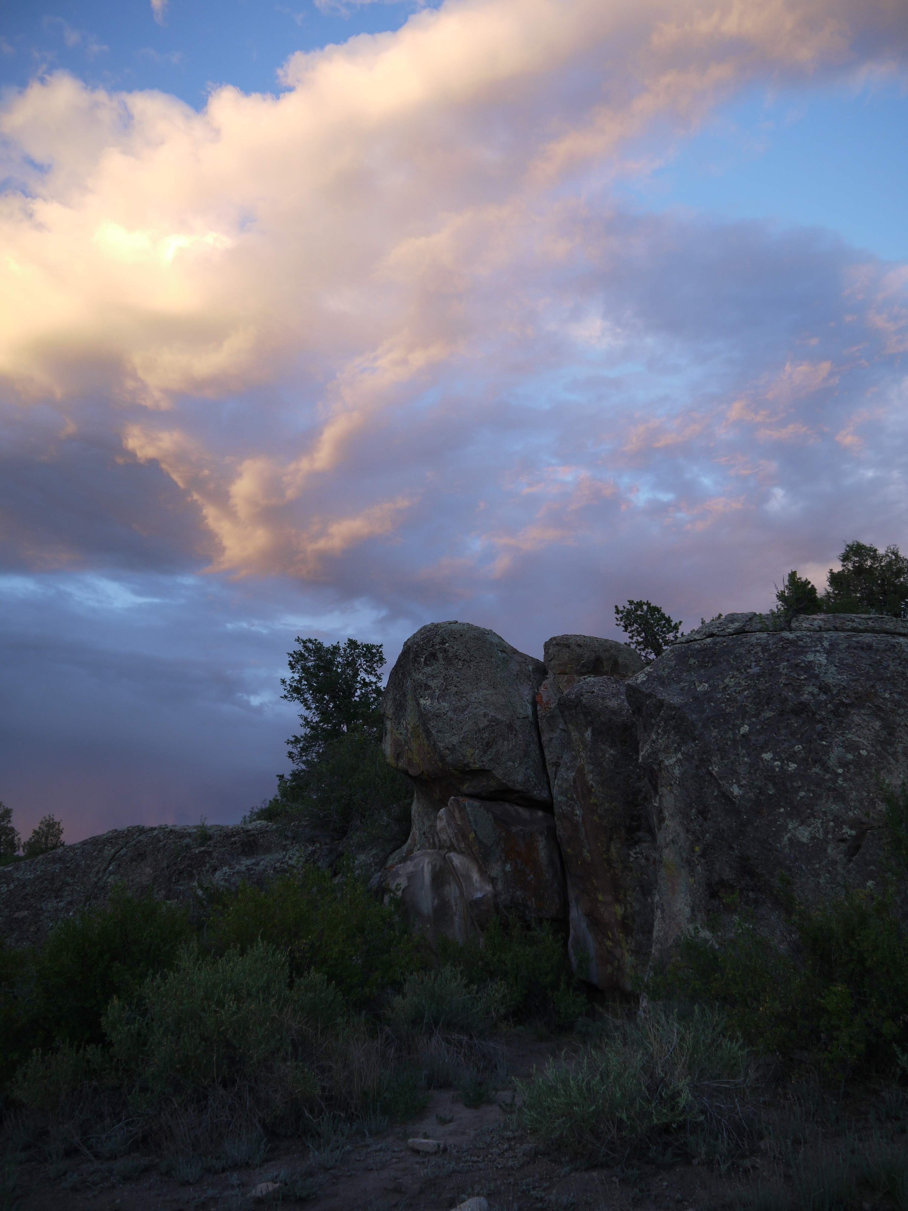
Clouds and rocks at sunset in Penitente Canyon
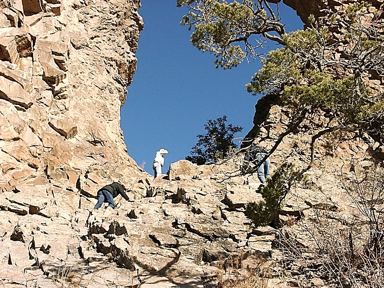
Climbing to La Ventana
Clouds over Penitente Canyon
Topographic Map of d Co Rd G, Del Norte, CO, USA
Find elevation by address:

Places near d Co Rd G, Del Norte, CO, USA:
34649 County Rd 41 G
5430 W Co Rd 9 N
5430 W Co Rd 9 N
Center
S Worth St, Center, CO, USA
1105 2nd St
801 Front St
25 Alder St
25 Alder St
25 Alder St
25 Alder St
Del Norte
605 Grand Ave
735 Oak St
E Co Rd 9 N, Center, CO, USA
E Co Rd 6 N, Monte Vista, CO, USA
17330 Us-160
872 Co Rd 71
E Co Rd 4 N, Monte Vista, CO, USA
724 Co Rd 25
Recent Searches:
- Elevation of Vista Blvd, Sparks, NV, USA
- Elevation of 15th Ave SE, St. Petersburg, FL, USA
- Elevation of Beall Road, Beall Rd, Florida, USA
- Elevation of Leguwa, Nepal
- Elevation of County Rd, Enterprise, AL, USA
- Elevation of Kolchuginsky District, Vladimir Oblast, Russia
- Elevation of Shustino, Vladimir Oblast, Russia
- Elevation of Lampiasi St, Sarasota, FL, USA
- Elevation of Elwyn Dr, Roanoke Rapids, NC, USA
- Elevation of Congressional Dr, Stevensville, MD, USA