Elevation of County Rd 41 G, Del Norte, CO, USA
Location: United States > Colorado > Del Norte >
Longitude: -106.37199
Latitude: 37.8849711
Elevation: 2594m / 8510feet
Barometric Pressure: 74KPa
Elevation Map:
Satellite Map:
Related Photos:

View of the third floor.

Suspended stone

View from La Ventana

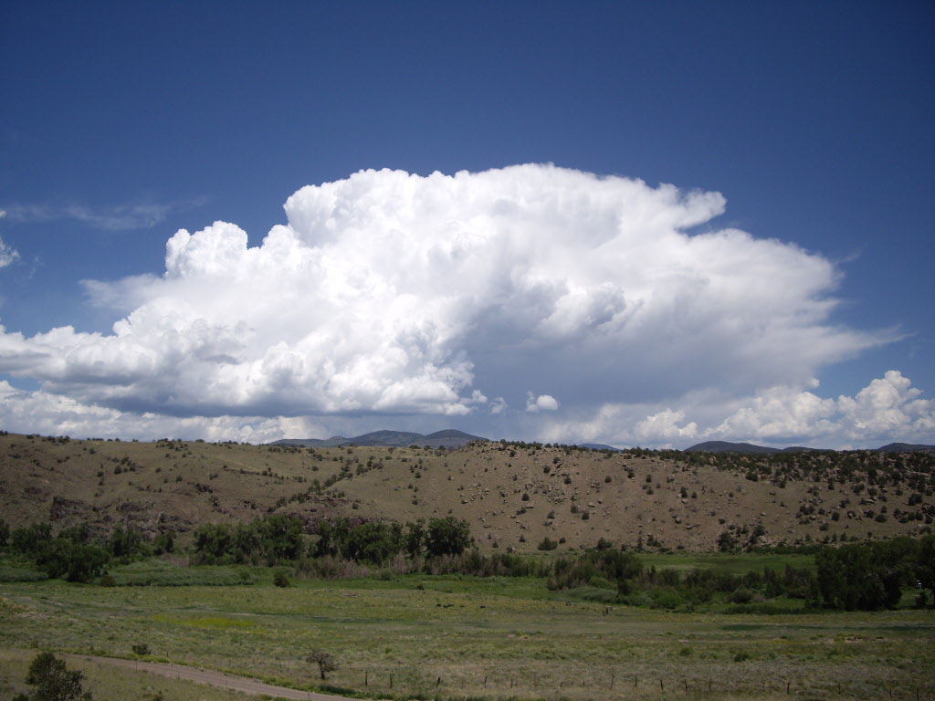
Clouds and rocks at sunset in Penitente Canyon

Penitente Canyon

Penitente Canyon

Penitente Canyon

Paige in Penitente Canyon

Penitente Canyon

La Ventana, west side

Penitente Canyon

Paige in Penitente Canyon

Penitente Canyon

Clouds over Penitente Canyon

La Ventana outside Del Norte

rim of Penitente Canyon

PanoOutside by Carnero Pass 373-377

Julia climbing in Penitente - a new 5.7

Climbing to La Ventana
La Garita

IMG_1132.jpg

La Garita Natural Arch
Topographic Map of County Rd 41 G, Del Norte, CO, USA
Find elevation by address:

Places near County Rd 41 G, Del Norte, CO, USA:
41605d
872 Co Rd 71
25 Alder St
25 Alder St
25 Alder St
25 Alder St
801 Front St
1105 2nd St
Del Norte
605 Grand Ave
735 Oak St
5430 W Co Rd 9 N
5430 W Co Rd 9 N
17330 Us-160
799 Co Rd 14a
602 County Rd 14b
161 W Pfeiffer Loop
858 Pinon Hill Rd
Del Norte, CO, USA
176 Red Feather Rd
Recent Searches:
- Elevation of 高尾山口駅, Takaomachi, Hachioji, Tokyo -, Japan
- Elevation of 15 Victory Ave, Greenville, SC, USA
- Elevation of Kota Ternate Utara, Ternate City, North Maluku, Indonesia
- Elevation of Allon St, Oceanside, NY, USA
- Elevation of Carroll Creek Rd, Custer, SD, USA
- Elevation of Lust Road, Lust Rd, Florida, USA
- Elevation of Pleasant Valley Rd NW, Adairsville, GA, USA
- Elevation of Općina Šodolovci, Croatia
- Elevation of Šodolovci, Croatia
- Elevation of Old Clairton Rd, Jefferson Hills, PA, USA