Elevation of 15 Kerber Creek Sub, Villa Grove, CO, USA
Location: United States > Colorado > Villa Grove >
Longitude: -106.11063
Latitude: 38.1885645
Elevation: 2736m / 8976feet
Barometric Pressure: 72KPa
Elevation Map:
Satellite Map:
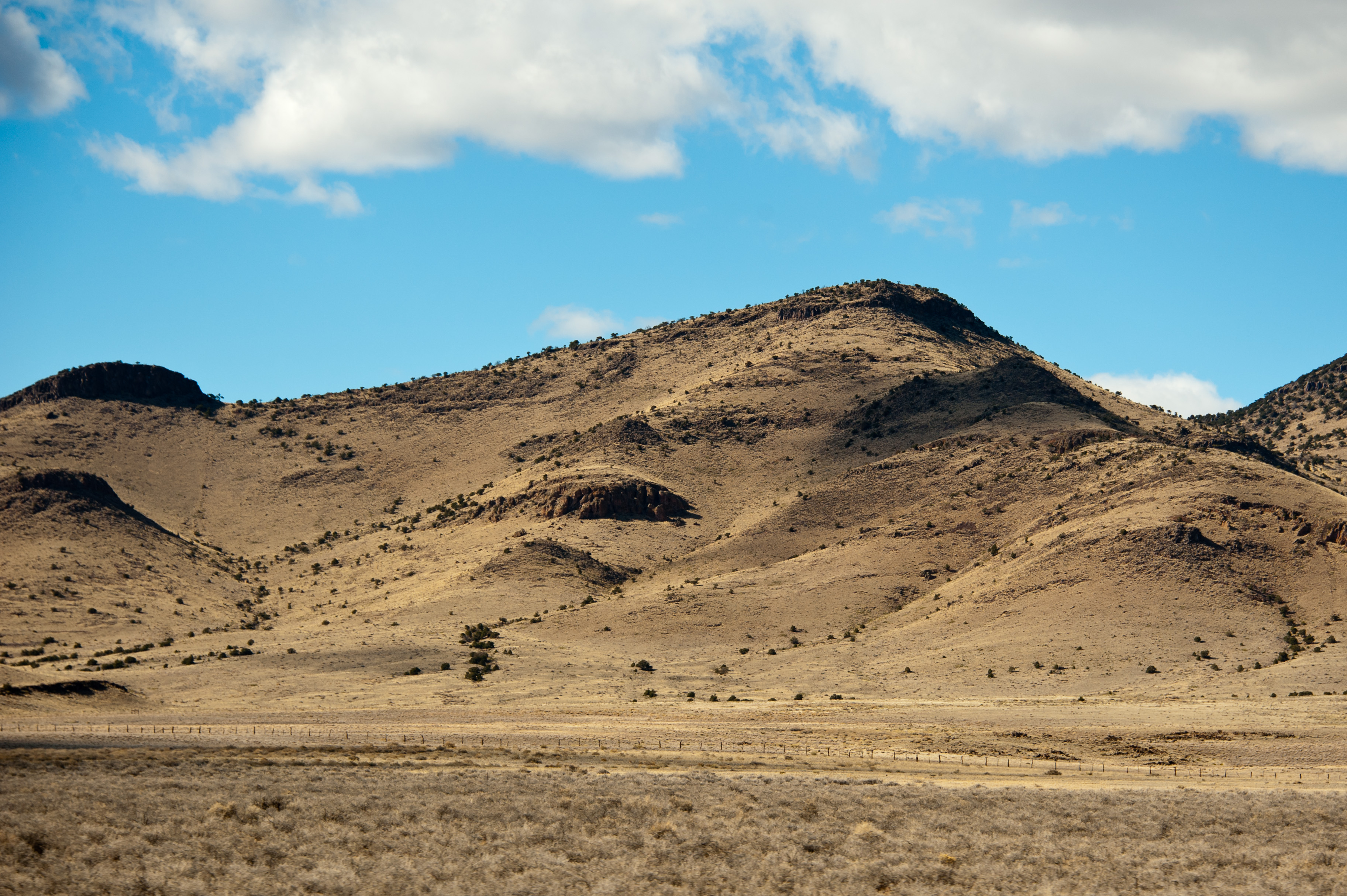
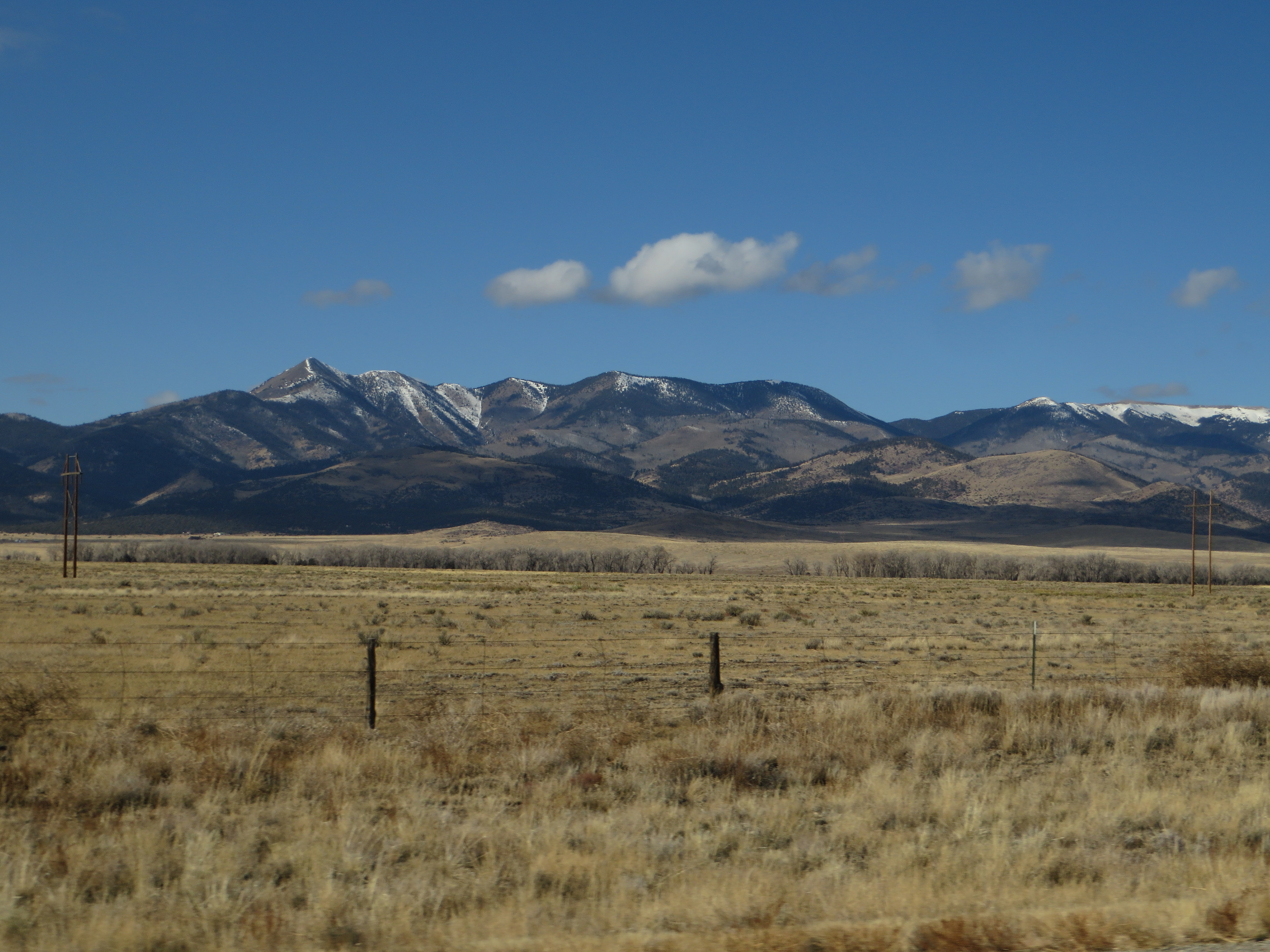
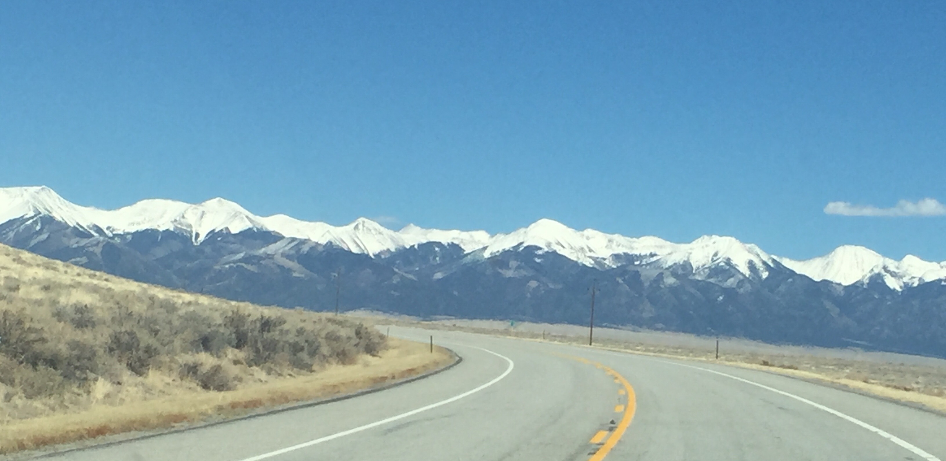
Related Photos:
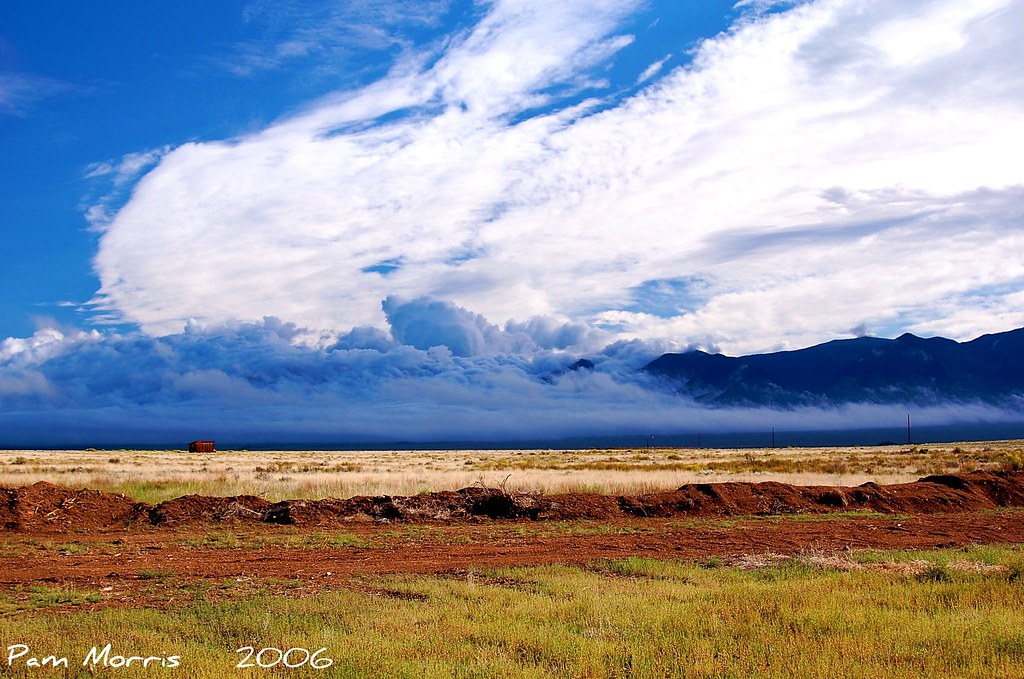
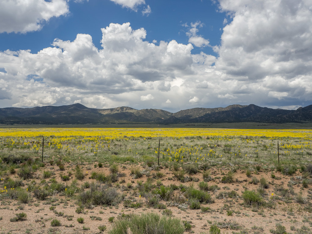
Colorado morning sky
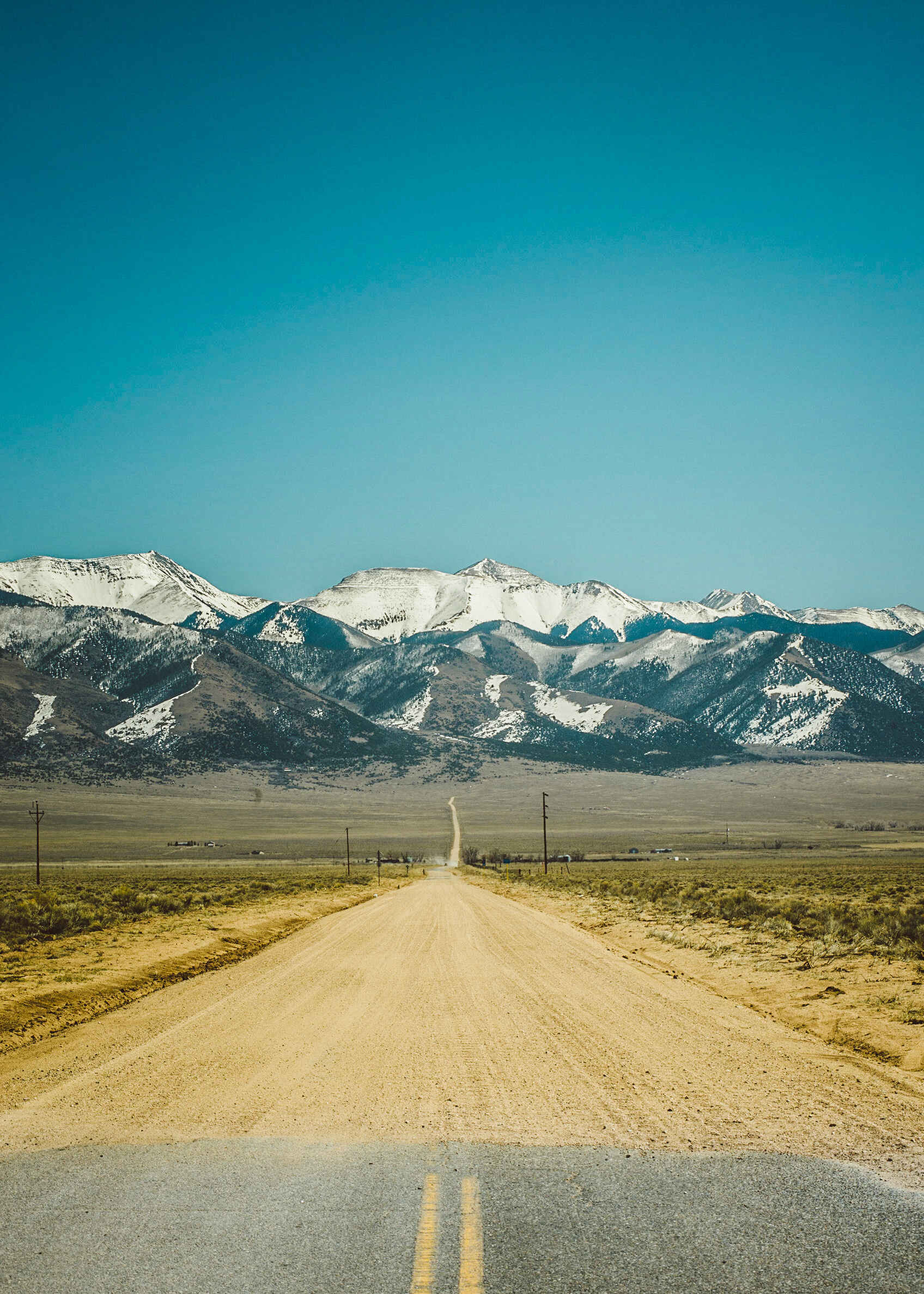
End of the Road, Beginning of an Adventure

Zodiacal Light

Camera Roll-208
Back roads, Colorado
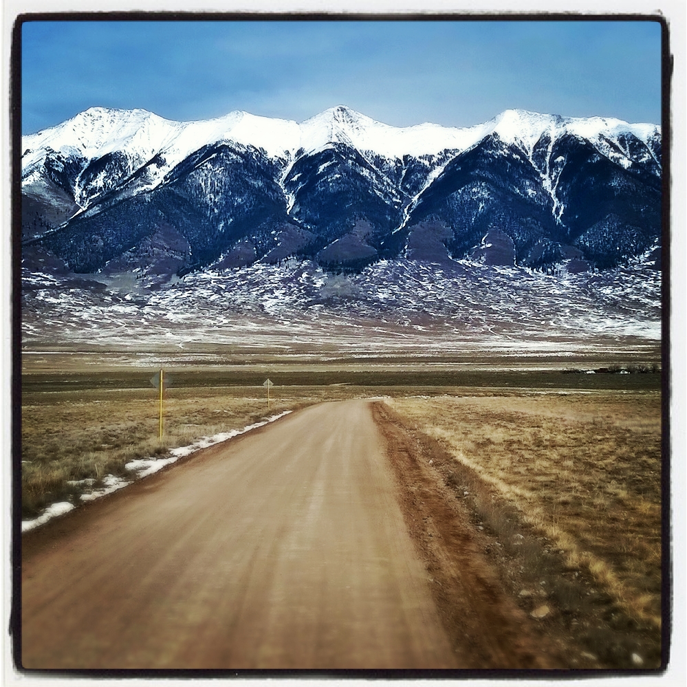
County Road X just east of CR 50
Colorado Road Trip Insta
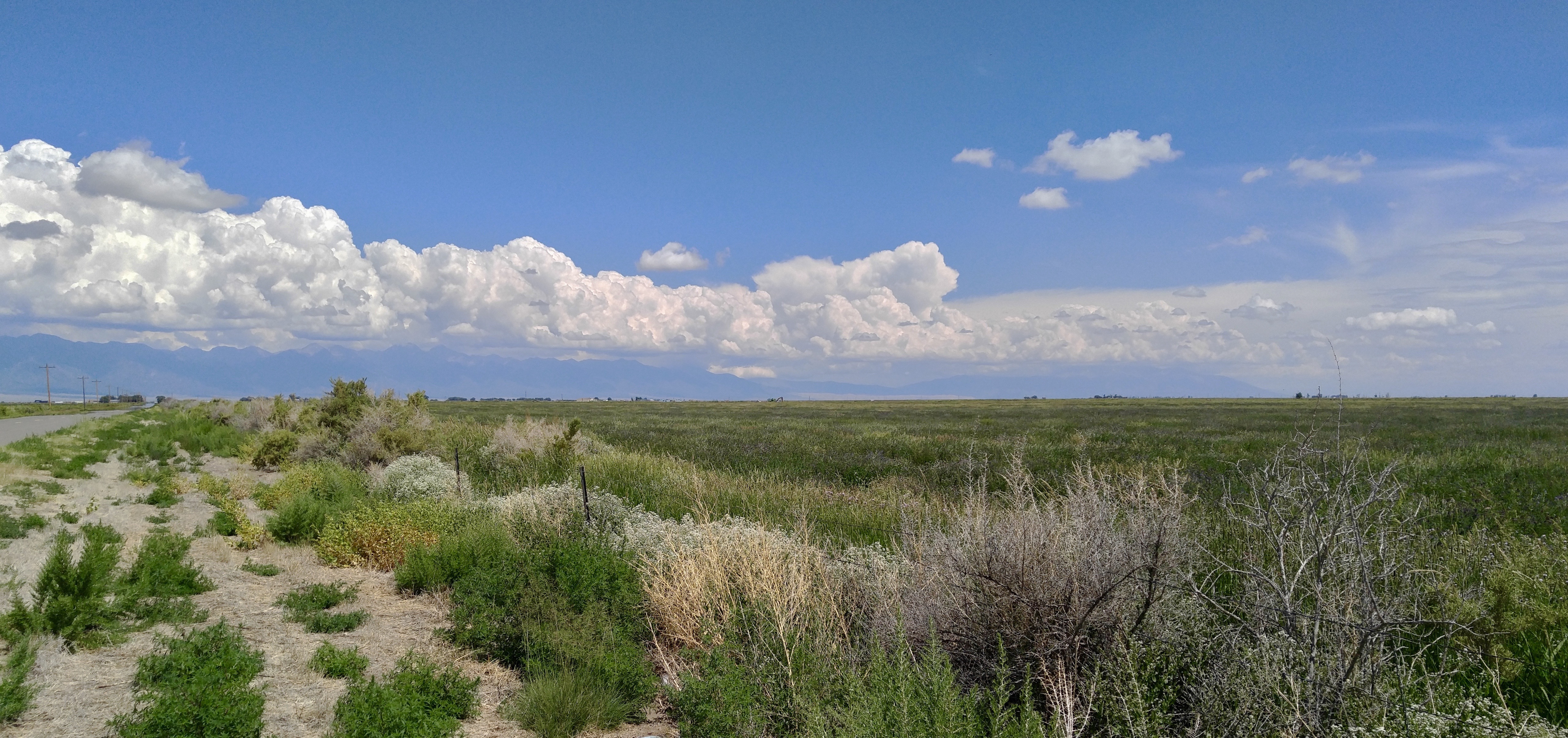
Summer Clouds
2013-12 Colorado & Utah 0778
the #aspens are changing #colors in the #mountains
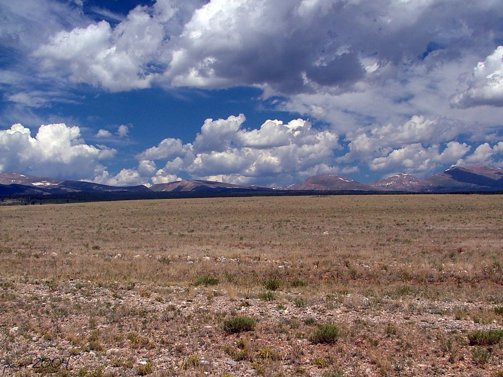
Rolling HIlls
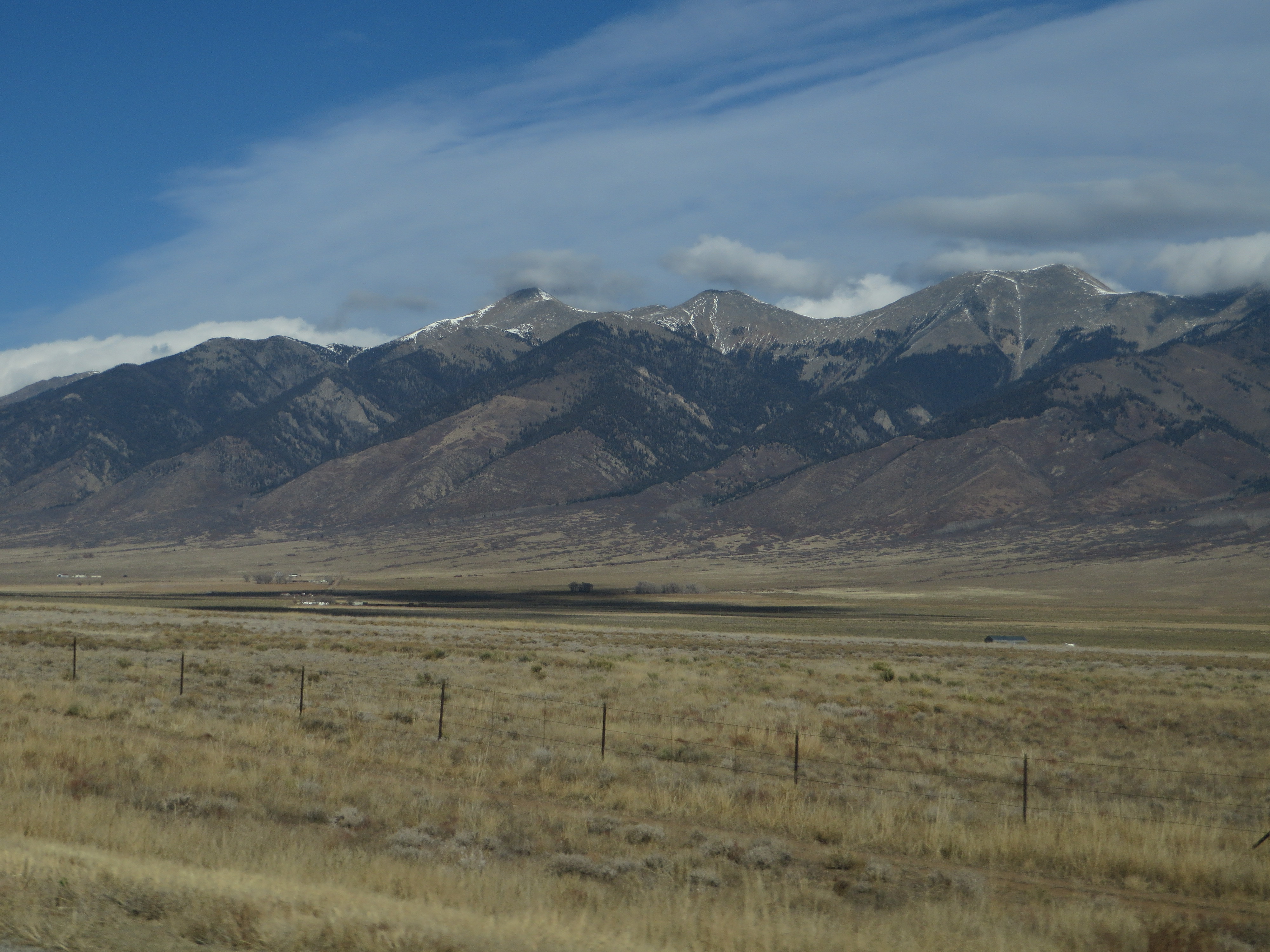
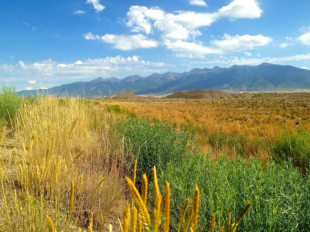
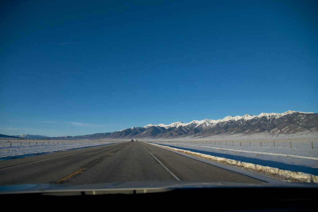
Sangre de Cristo Range from U.S. Route 285 Between Alamosa and Salida, Colorado
Sangre de Cristo Range from U.S. Route 285 Between Alamosa and Salida, Colorado
Springtime in Colorado
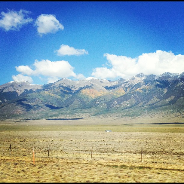
High Valley Color
Topographic Map of 15 Kerber Creek Sub, Villa Grove, CO, USA
Find elevation by address:

Places near 15 Kerber Creek Sub, Villa Grove, CO, USA:
Saguache Peak
Parkville
Mcintyre Ridge
Copper Butte
Hayden Peak
Bonita Hill
Saguache
Bonanza
10 Farrington Acres
Baxter Mountain
Villa Grove
Sheep Mountain Northeast
48256 Co Rd T
Houghland Hill
45490 Co Rd T
22500 Co Rd 59
Road 44.8
Kit Carson Road
Windy Peak
1043 Co Rd 200
Recent Searches:
- Elevation of Beall Road, Beall Rd, Florida, USA
- Elevation of Leguwa, Nepal
- Elevation of County Rd, Enterprise, AL, USA
- Elevation of Kolchuginsky District, Vladimir Oblast, Russia
- Elevation of Shustino, Vladimir Oblast, Russia
- Elevation of Lampiasi St, Sarasota, FL, USA
- Elevation of Elwyn Dr, Roanoke Rapids, NC, USA
- Elevation of Congressional Dr, Stevensville, MD, USA
- Elevation of Bellview Rd, McLean, VA, USA
- Elevation of Stage Island Rd, Chatham, MA, USA